Gravel Loop through Signes and Surrounding Areas
A gravel cycling route starting from Signes
A thrilling gravel adventure through the diverse landscapes near Signes
Map
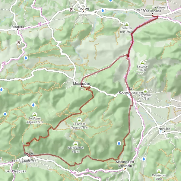
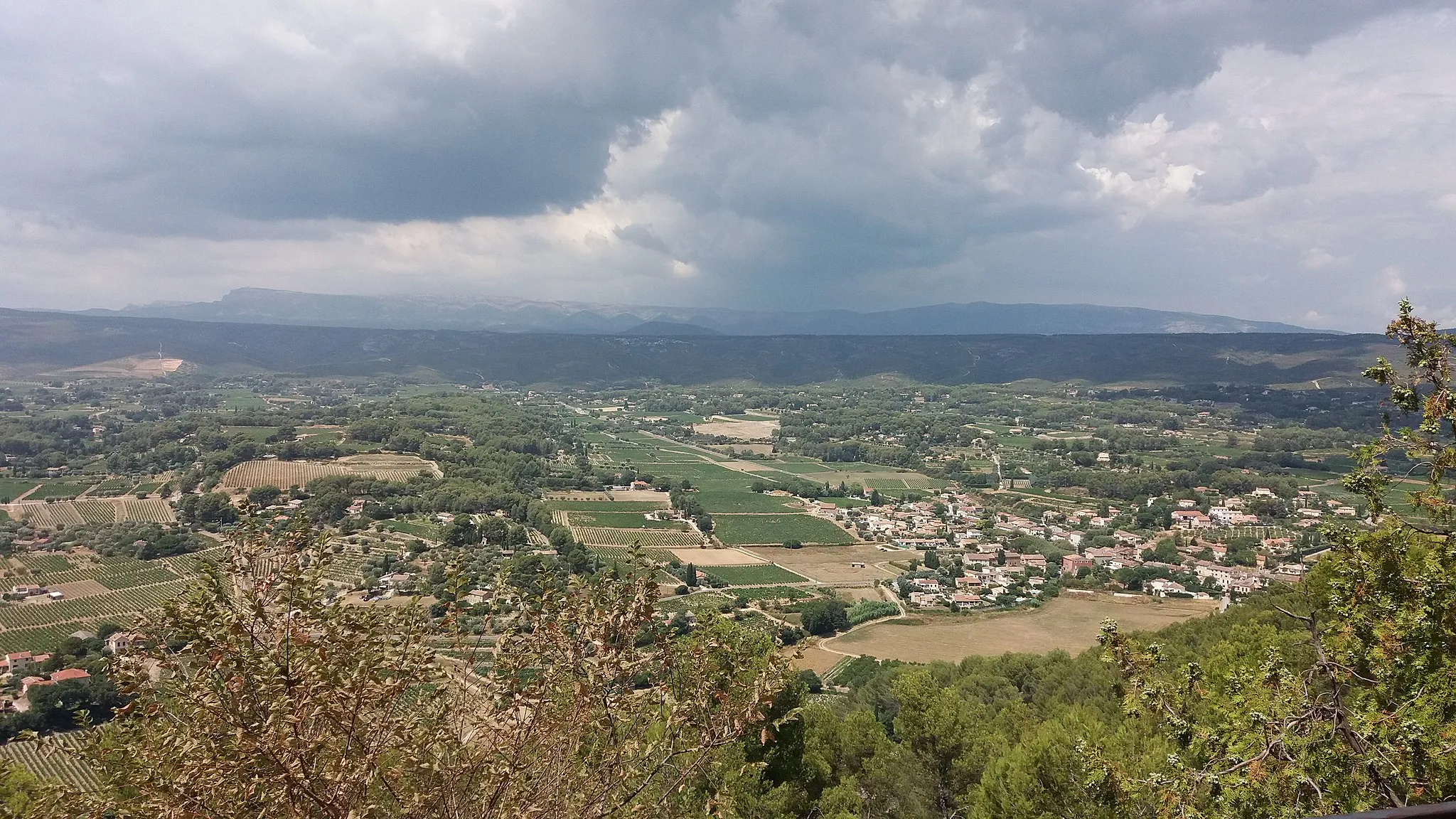
This gravel route takes you through the beautiful landscapes near Signes, offering a thrilling adventure for gravel enthusiasts. With a total distance of 53 kilometers and an elevation gain of 969 meters, this route will challenge you both mentally and physically. Along the way, you'll encounter highlights such as La Tête de l'Agasse, Mazaugues, and Pey Rediaque, each offering unique scenic spots to explore. Whether you're a local cyclist or a visiting enthusiast, this route is a must-try for those seeking an off-road adventure in Provence-Alpes-Côte d’Azur.
gravel
53 km
969 m
Tough
Route profile
Highlights on the route
0 km
0 km
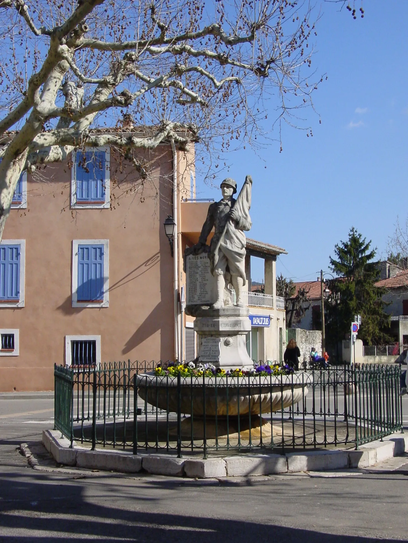
Start: Signes Village centerSignes: Cycling Paradise in Provence-Alpes-Côte d’Azur
Signes is a small locality located in the Provence-Alpes-Côte d’Azur region of France. From a cyclist's perspective, Signes offers picturesque landscapes and challenging terrain that makes it a popular destination for road and gravel cyclists. With its winding roads and hilly routes, Signes provides a thrilling cycling experience. Additionally, Signes is surrounded by famous cycling spots such as the Col de Signes, a well-known climb often included in professional races. Overall, Signes is a great locality for cyclists with its beautiful scenery and challenging routes.0 km
0 km
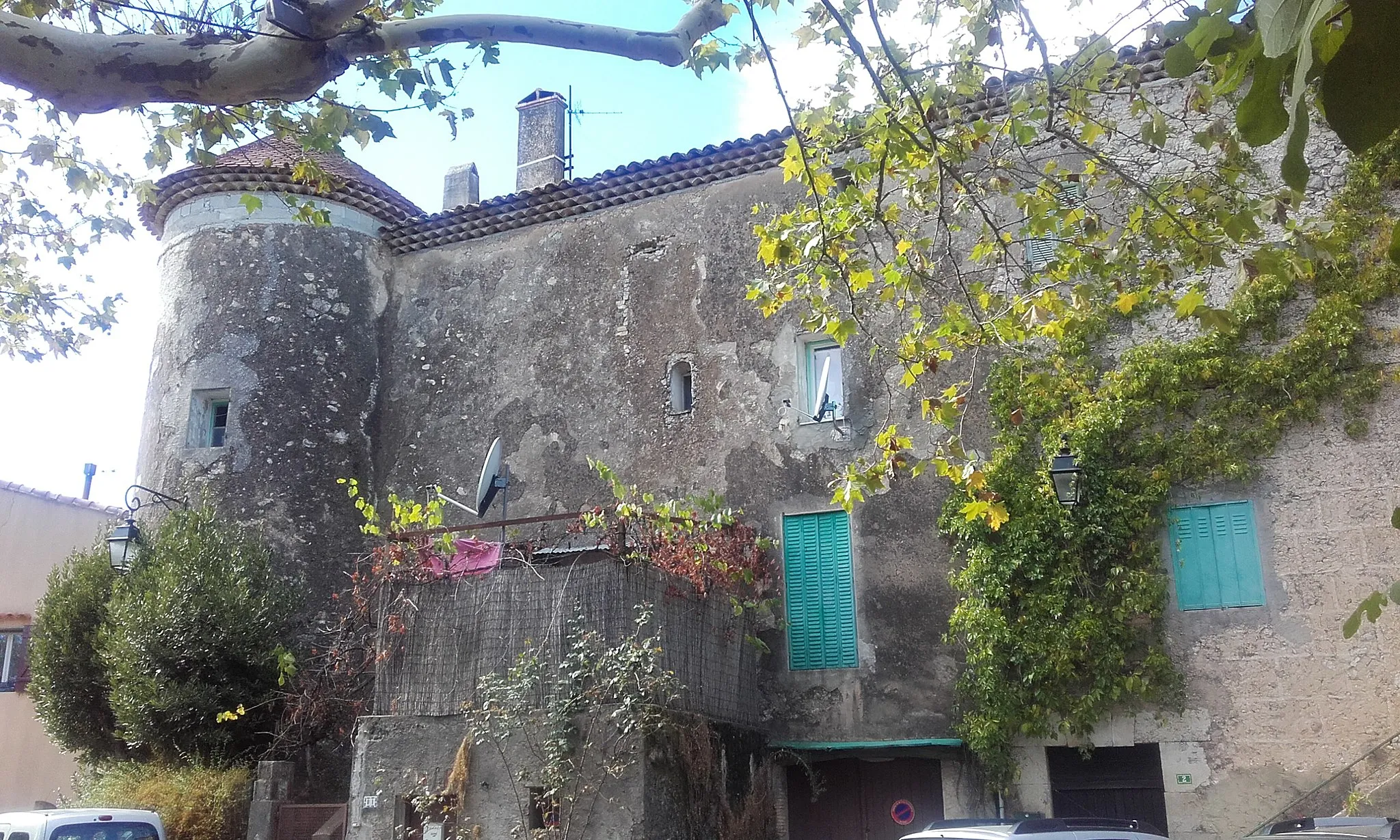
SignesVillageSignes is a charming village that serves as the starting point for this gravel route. Take a moment to explore its narrow streets and soak in the authentic Provençal atmosphere.
10 km
10 km
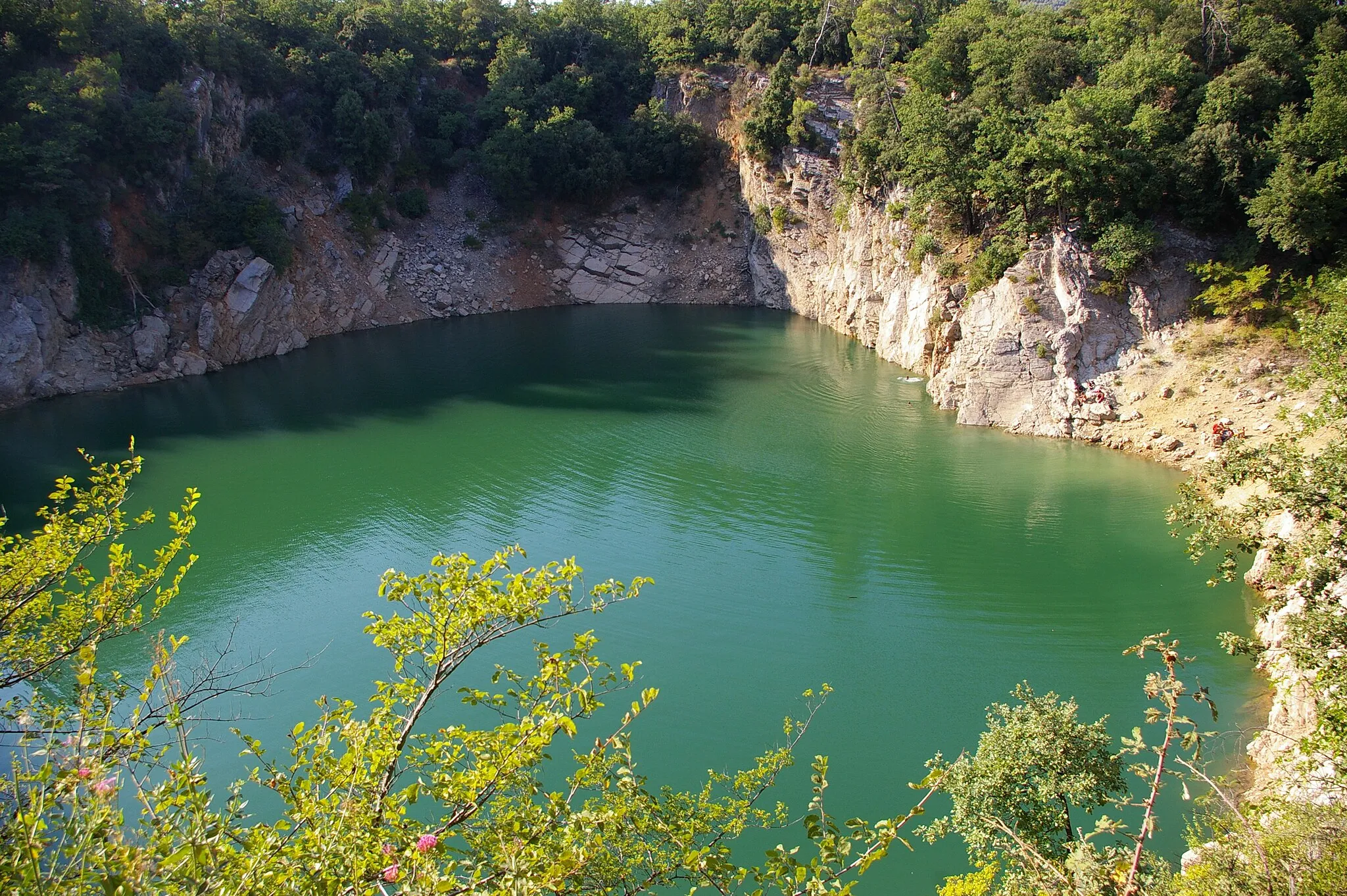
La Tête de l'Agasse785 mPeakLa Tête de l'Agasse is a natural highlight along the route. Marvel at the breathtaking views from the summit before continuing your gravel journey.
15 km
15 km
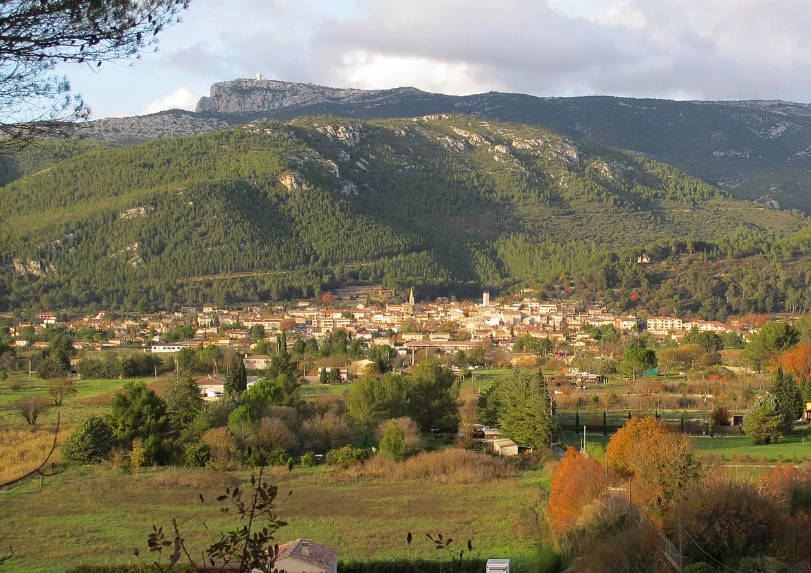
MazauguesVillageAs you pass through Mazaugues, make sure to stop and appreciate the picturesque village surrounded by stunning countryside.
20 km
20 km
Le Capucin494 mPeakLe Capucin is a notable point along the route, known for its unique rock formations that will leave you in awe of nature's wonders.
36 km
36 km
La RoquebrussanneVillageLa Roquebrussanne offers a peaceful detour with its quaint streets and charming ambiance. Take a break here and enjoy the local hospitality.
40 km
40 km
Pey Rediaque366 mPeakPey Rediaque is a highlight worth visiting for its stunning panoramic views. This elevated point offers a great spot to rest and take in the natural beauty.
48 km
48 km
Le Bas Cauvet417 mPeakLe Bas Cauvet is a beautiful area with undulating scenery. Enjoy the peaceful surroundings as you navigate through this section of the route.
53 km
53 km
Les RigaudellesHamletLes Rigaudelles offers a peaceful and quiet spot to end your gravel adventure near Signes.
53 km
53 km
Finish: Signes Village centerSignes: Cycling Paradise in Provence-Alpes-Côte d’Azur
Cycling routes from Signes:
Gravel Adventure through Provence Uncover Hidden Gems: Provence's Scenic Road Cycling Scenic Gravel Ride: Signes Exploration Gravel Adventure in Provence Climbing Challenge: Provençal Hills and Villages Road Loop through Provence-Alpes-Côte d'Azur Countryside Scenic Road Loop with Challenging Climbs Picturesque Road Cycling Loop near Signes Thrilling Gravel Adventure with Challenging Climbs Gravel Loop through Signes and Surrounding Areas
Cycling routes nearby: