Road Loop through Provence-Alpes-Côte d'Azur Countryside
A road cycling route starting from Signes
Explore the stunning countryside of Provence-Alpes-Côte d'Azur on this road cycling route
Map
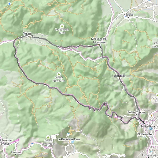
This road cycling route takes you through the picturesque countryside of Provence-Alpes-Côte d'Azur, offering breathtaking views and a challenging ride. With a total distance of 52 kilometers and an ascent of 965 meters, this route is perfect for well-trained amateurs looking for a scenic road cycling experience. Highlights include Pey Crestian, Méounes-lès-Montrieux, and Sainte-Croix, each offering their own unique charm and attractions. From rolling hills to charming villages, this route showcases the beauty of the region and is a must-ride for road cycling enthusiasts.
road
52 km
965 m
Tough
Route profile
Highlights on the route
0 km
0 km
Start: Signes Village centerSignes: Cycling Paradise in Provence-Alpes-Côte d’Azur
Signes is a small locality located in the Provence-Alpes-Côte d’Azur region of France. From a cyclist's perspective, Signes offers picturesque landscapes and challenging terrain that makes it a popular destination for road and gravel cyclists. With its winding roads and hilly routes, Signes provides a thrilling cycling experience. Additionally, Signes is surrounded by famous cycling spots such as the Col de Signes, a well-known climb often included in professional races. Overall, Signes is a great locality for cyclists with its beautiful scenery and challenging routes.3 km
3 km
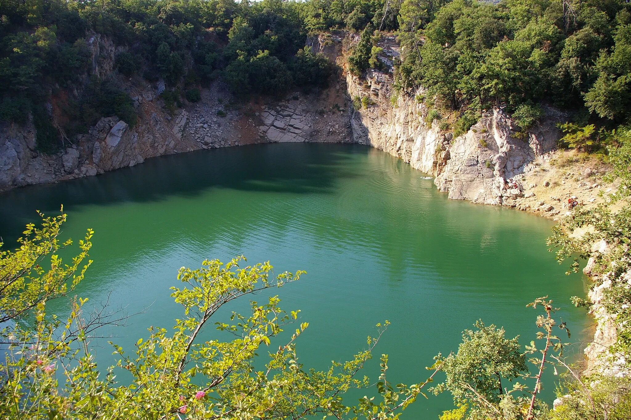
Pey Crestian364 mPeakPey Crestian is a popular stop along the route, offering panoramic views of the surrounding countryside. Take a moment to appreciate the natural beauty before continuing your ride.
10 km
10 km
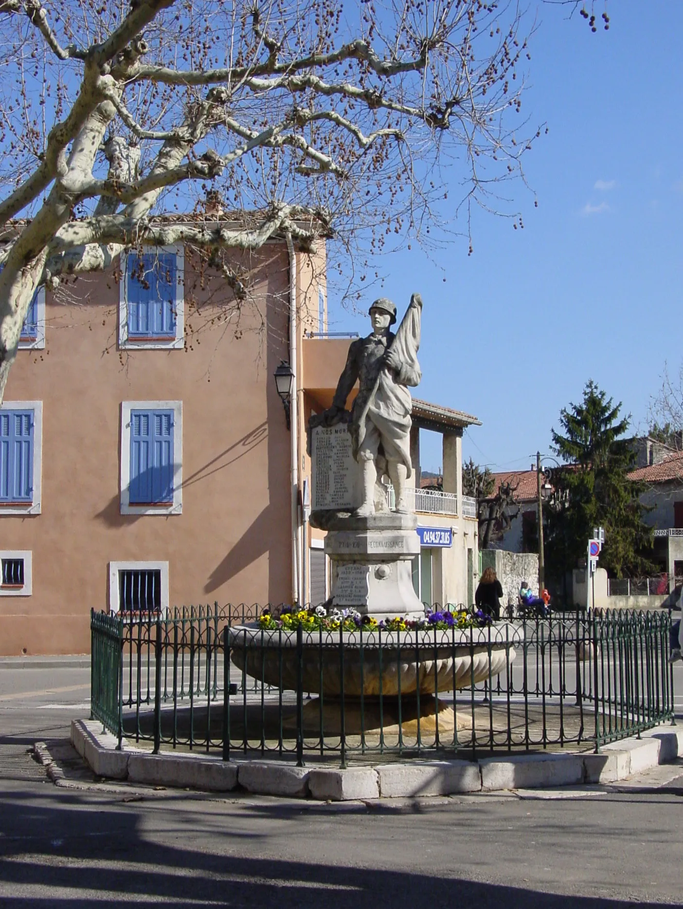
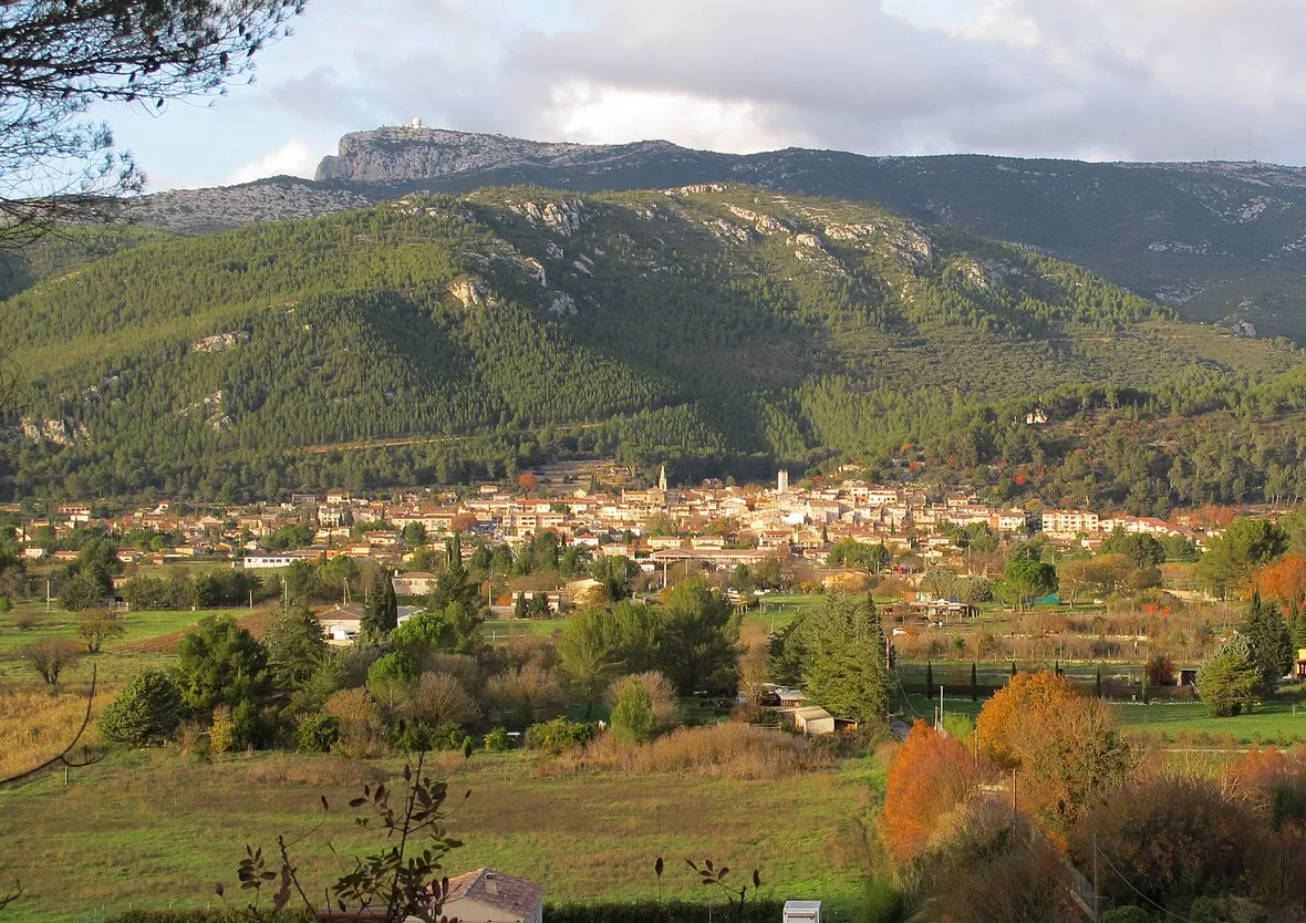
Méounes-lès-MontrieuxVillageMéounes-lès-Montrieux is a charming village that shouldn't be missed. Enjoy the Provençal atmosphere and explore the narrow streets filled with history and character.
15 km
15 km
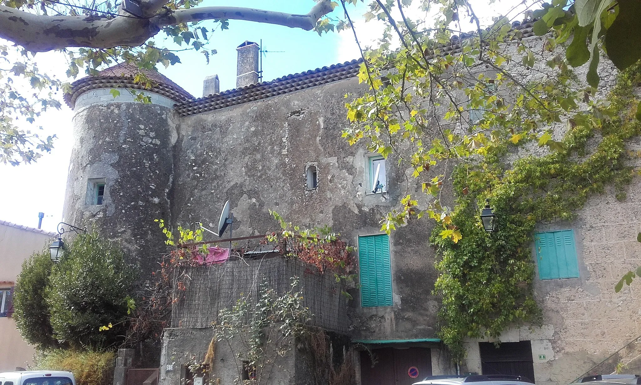
BelgentierVillageBelgentier is a hidden gem along the route. Stop and admire the picturesque setting, complete with a charming old bridge and riverside views.
21 km
21 km
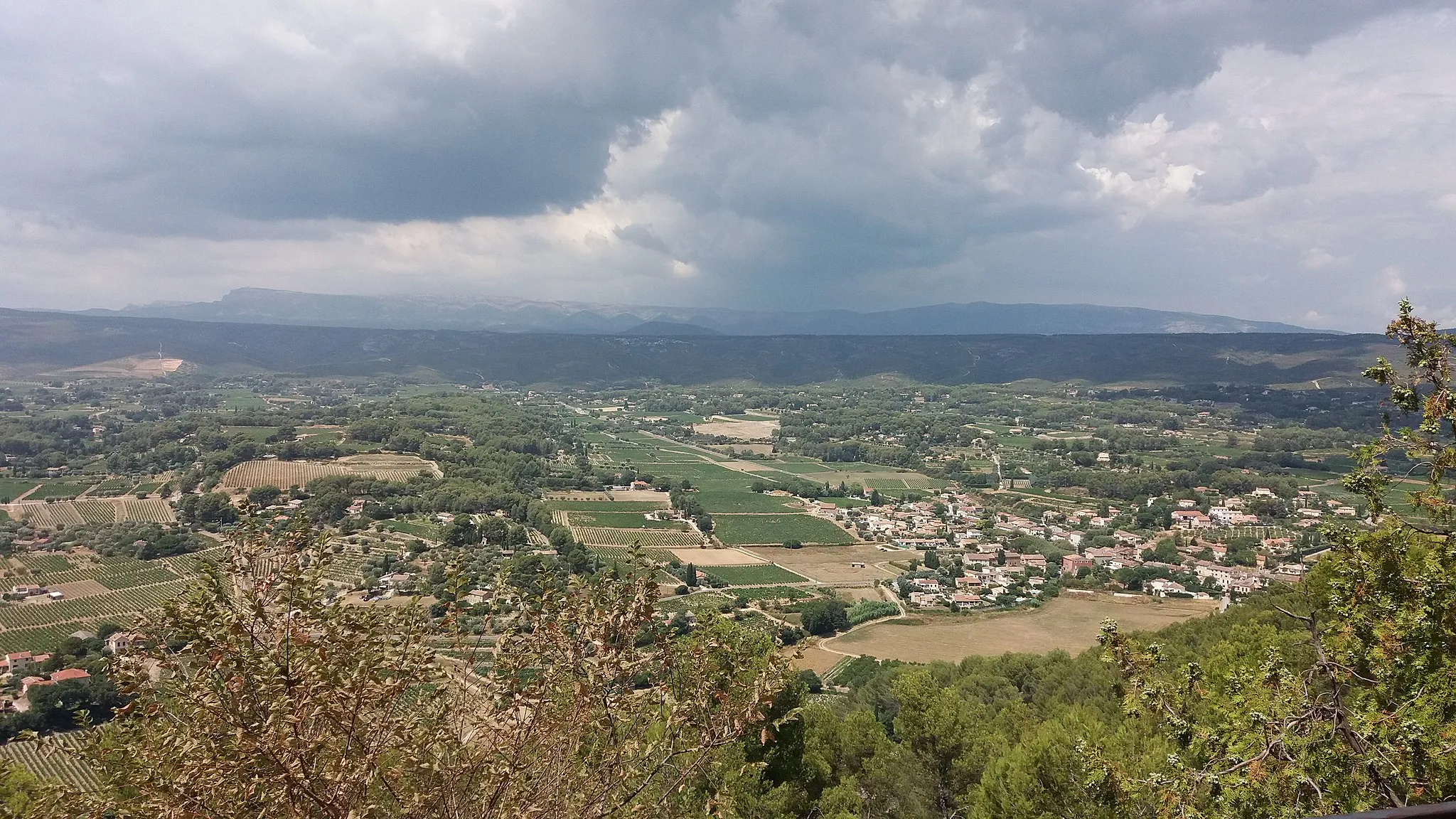
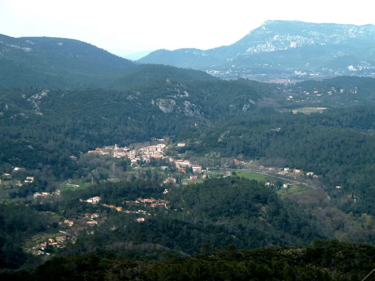
Solliès-ToucasVillageSolliès-Toucas is a small town known for its rich heritage and stunning natural surroundings. Take a break here and explore the local attractions.
31 km
31 km
Colline du Bon Pasteur505 mPeakColline du Bon Pasteur is a peaceful hill where you can enjoy a moment of tranquility and panoramic views of the surrounding countryside.
50 km
50 km
Sainte-Croix498 mPeakSainte-Croix is a highlight along the route, offering beautiful vistas and a charming atmosphere. Take the time to explore the village and soak in its beauty.
52 km
52 km
Finish: Signes Village centerSignes: Cycling Paradise in Provence-Alpes-Côte d’Azur
Cycling routes from Signes:
Gravel Adventure through Provence Uncover Hidden Gems: Provence's Scenic Road Cycling Scenic Gravel Ride: Signes Exploration Gravel Adventure in Provence Climbing Challenge: Provençal Hills and Villages Road Loop through Provence-Alpes-Côte d'Azur Countryside Scenic Road Loop with Challenging Climbs Picturesque Road Cycling Loop near Signes Thrilling Gravel Adventure with Challenging Climbs Gravel Loop through Signes and Surrounding Areas
Cycling routes nearby: