Scenic Road Loop with Challenging Climbs
A road cycling route starting from Signes
Embark on a challenging road cycling adventure with stunning views
Map
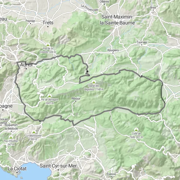
Ready for some serious road cycling challenges? This route near Signes will push your limits with a total distance of 99 kilometers and an elevation gain of 1490 meters. Along the way, you'll encounter highlights such as Cuges-les-Pins, Roquevaire, and Collet de Fouque, each offering unique attractions to make your ride memorable. From scenic countryside roads to challenging climbs, this route combines breathtaking views and physical exertion. Perfect for experienced cyclists seeking a real challenge, this route showcases the best of Provence-Alpes-Côte d'Azur's road cycling opportunities.
road
99 km
1490 m
Savage
Route profile
Highlights on the route
0 km
0 km
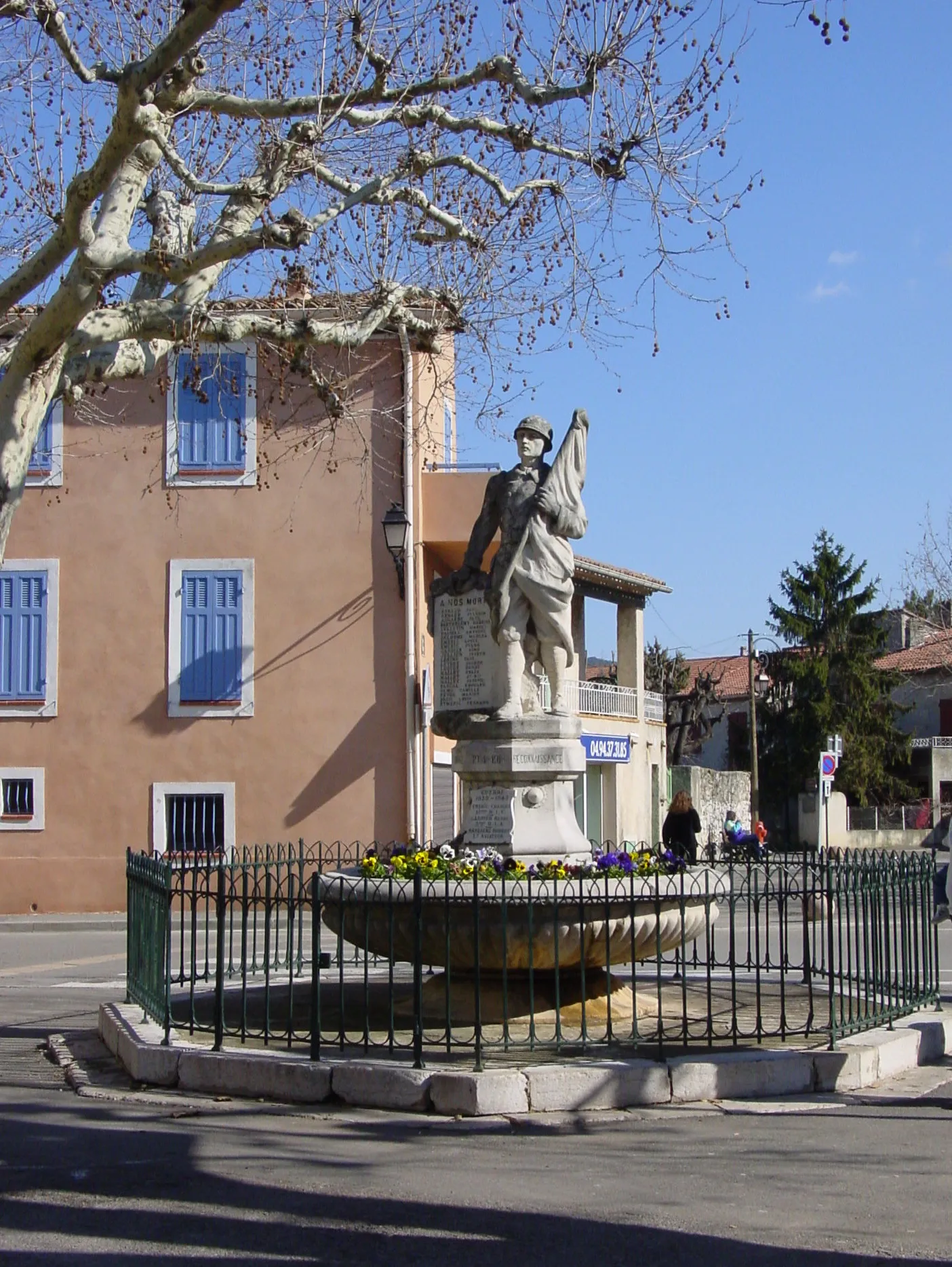
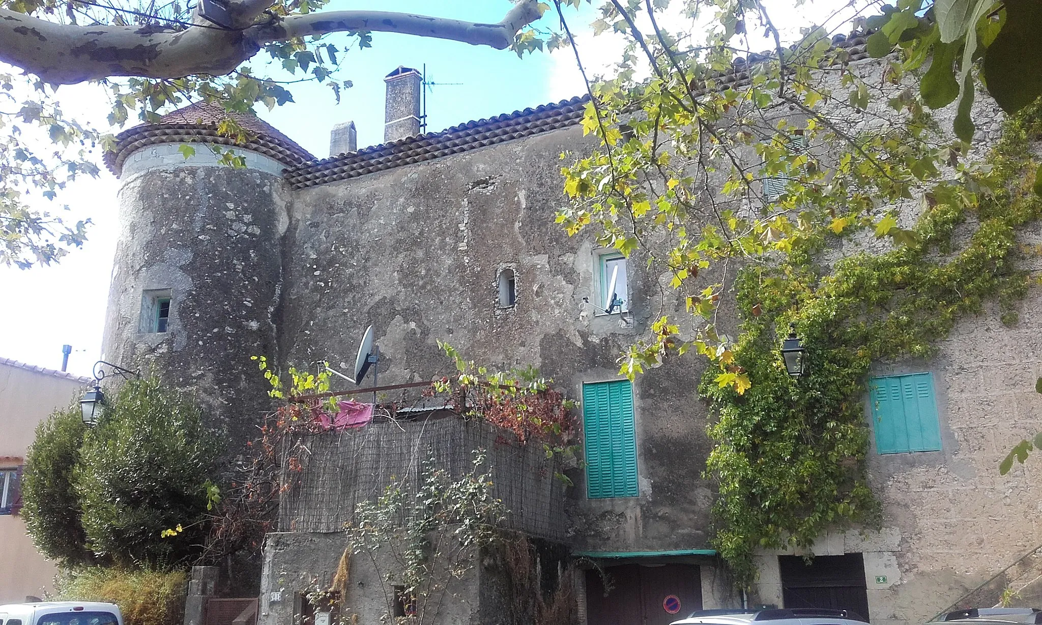
Start: Signes Village centerSignes: Cycling Paradise in Provence-Alpes-Côte d’Azur
Signes is a small locality located in the Provence-Alpes-Côte d’Azur region of France. From a cyclist's perspective, Signes offers picturesque landscapes and challenging terrain that makes it a popular destination for road and gravel cyclists. With its winding roads and hilly routes, Signes provides a thrilling cycling experience. Additionally, Signes is surrounded by famous cycling spots such as the Col de Signes, a well-known climb often included in professional races. Overall, Signes is a great locality for cyclists with its beautiful scenery and challenging routes.1 km
1 km
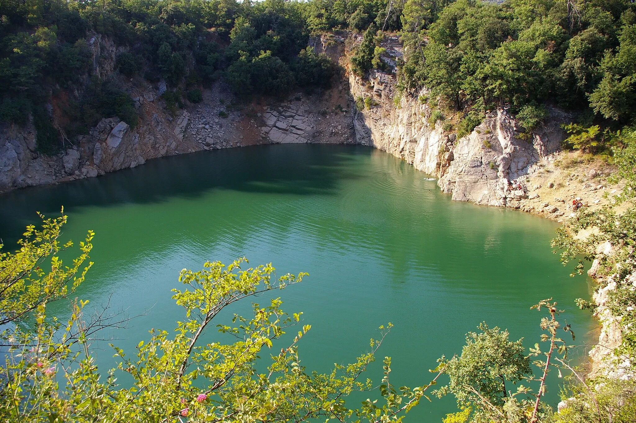
Sainte-Croix498 mPeakSainte-Croix is a must-visit highlight along this challenging route. Known for its stunning beauty and challenging terrain, this climb will test your abilities and reward you with breathtaking views.
16 km
16 km
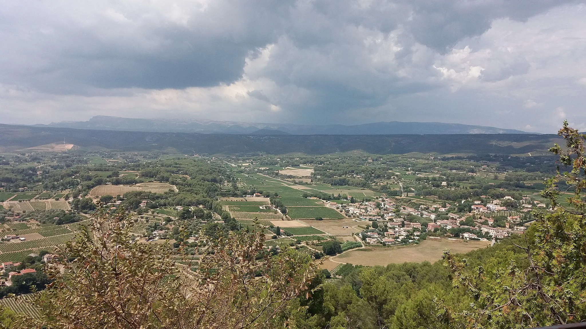
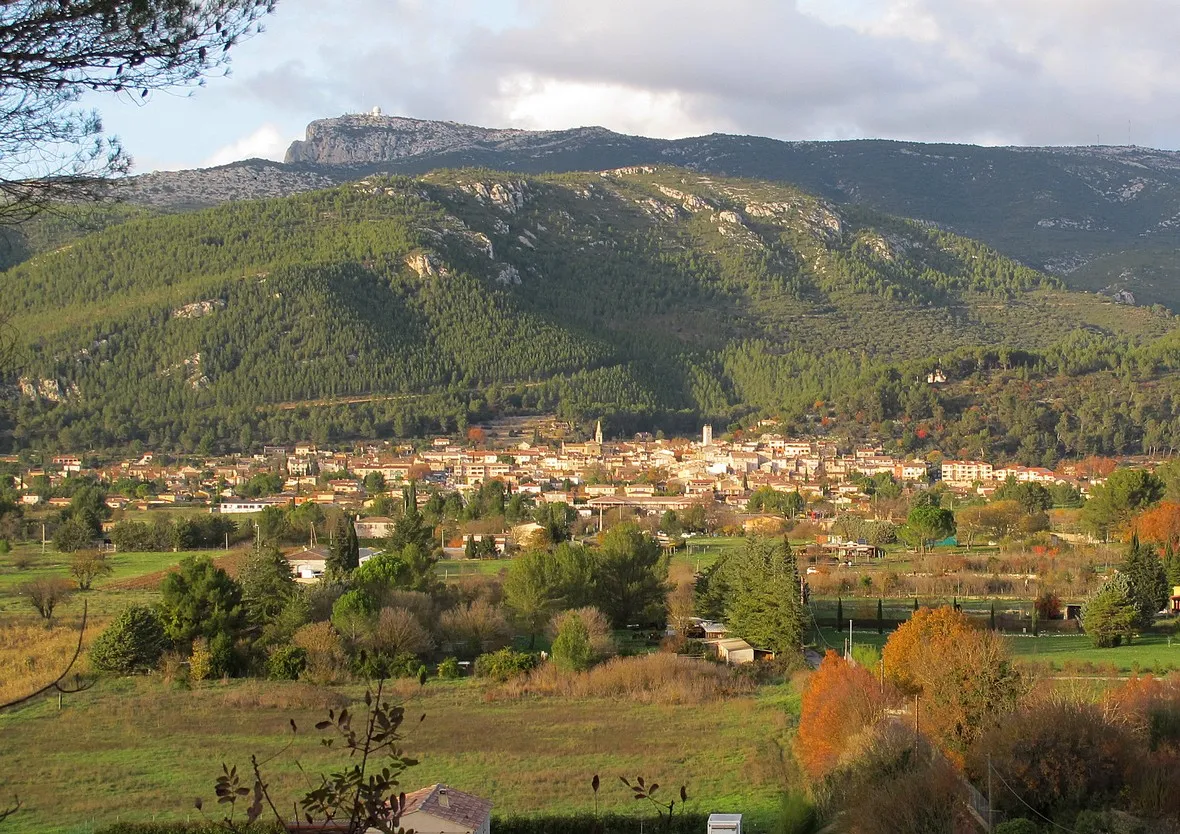
Cuges-les-PinsVillageCuges-les-Pins is a charming village that serves as a resting spot along the route. Enjoy the tranquility of this picturesque location before continuing your cycling journey.
33 km
33 km
RoquevaireVillageRoquevaire offers a scenic detour along the route. With its charming streets and historical sites, this village is a gem worth exploring.
46 km
46 km
Saint-ZacharieVillageSaint-Zacharie is a highlight along the route, offering beautiful panoramic views and a serene atmosphere. Take a moment to soak in the surroundings.
57 km
57 km
Collet de Fouque451 mPeakCollet de Fouque is a legendary climb that will challenge even the most seasoned cyclists. Enjoy the sense of accomplishment as you conquer this iconic spot.
65 km
65 km
Signal des Béguines1148 mPeakSignal des Béguines provides a panoramic viewpoint that is worth the effort. Witness the stunning landscapes of Provence-Alpes-Côte d'Azur from this elevated vantage point.
77 km
77 km
MazauguesVillageMazaugues offers a scenic area to rest and recharge. Take a break here and visit the local attractions for a taste of the Provencal lifestyle.
86 km
86 km
Pey Rediaque366 mPeakPey Rediaque showcases the beauty of the region with its stunning views and tranquil ambiance. Enjoy a moment of peace before tackling the next challenge.
90 km
90 km
Méounes-lès-MontrieuxVillageMéounes-lès-Montrieux is a charming village that adds a touch of history to your road cycling experience. Explore the narrow streets and immerse yourself in the local culture.
99 km
99 km
Finish: Signes Village centerSignes: Cycling Paradise in Provence-Alpes-Côte d’Azur
Cycling routes from Signes:
Gravel Adventure through Provence Uncover Hidden Gems: Provence's Scenic Road Cycling Scenic Gravel Ride: Signes Exploration Gravel Adventure in Provence Climbing Challenge: Provençal Hills and Villages Road Loop through Provence-Alpes-Côte d'Azur Countryside Scenic Road Loop with Challenging Climbs Picturesque Road Cycling Loop near Signes Thrilling Gravel Adventure with Challenging Climbs Gravel Loop through Signes and Surrounding Areas
Cycling routes nearby: