Gravel Route to Montbonnot-Saint-Martin
A gravel cycling route starting from Meylan
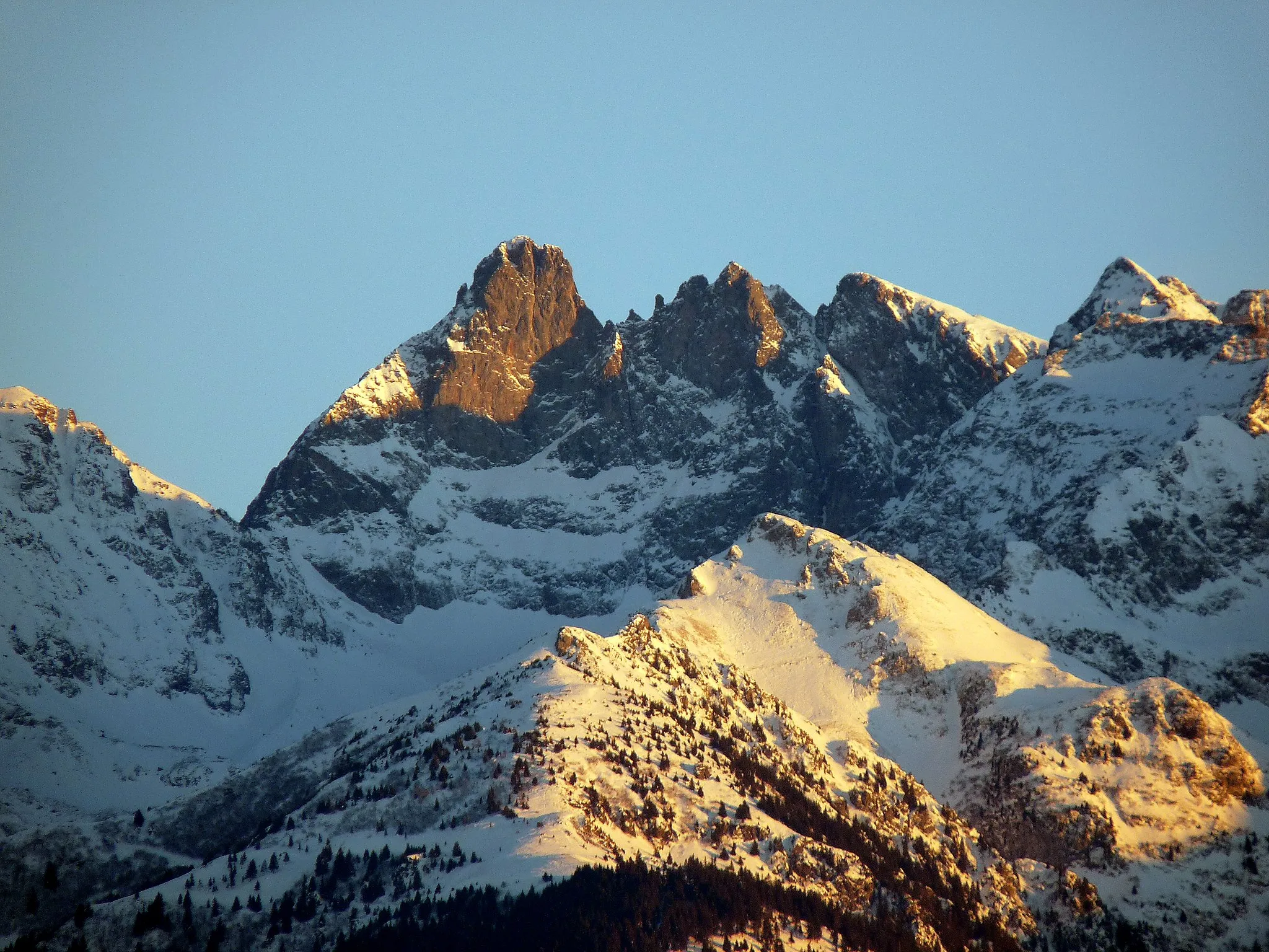
A picturesque gravel route with stunning views
Map

This 57km gravel route starting near Meylan takes you on a scenic journey through the Rhône-Alpes region of France. With a moderate ascent of 596m, the route offers beautiful views and highlights along the way. The difficulty level is suitable for well-trained amateurs, with an epicness score of 4.
gravel
57 km
596 m
Tough
Route profile
Highlights on the route
0 km
0 km
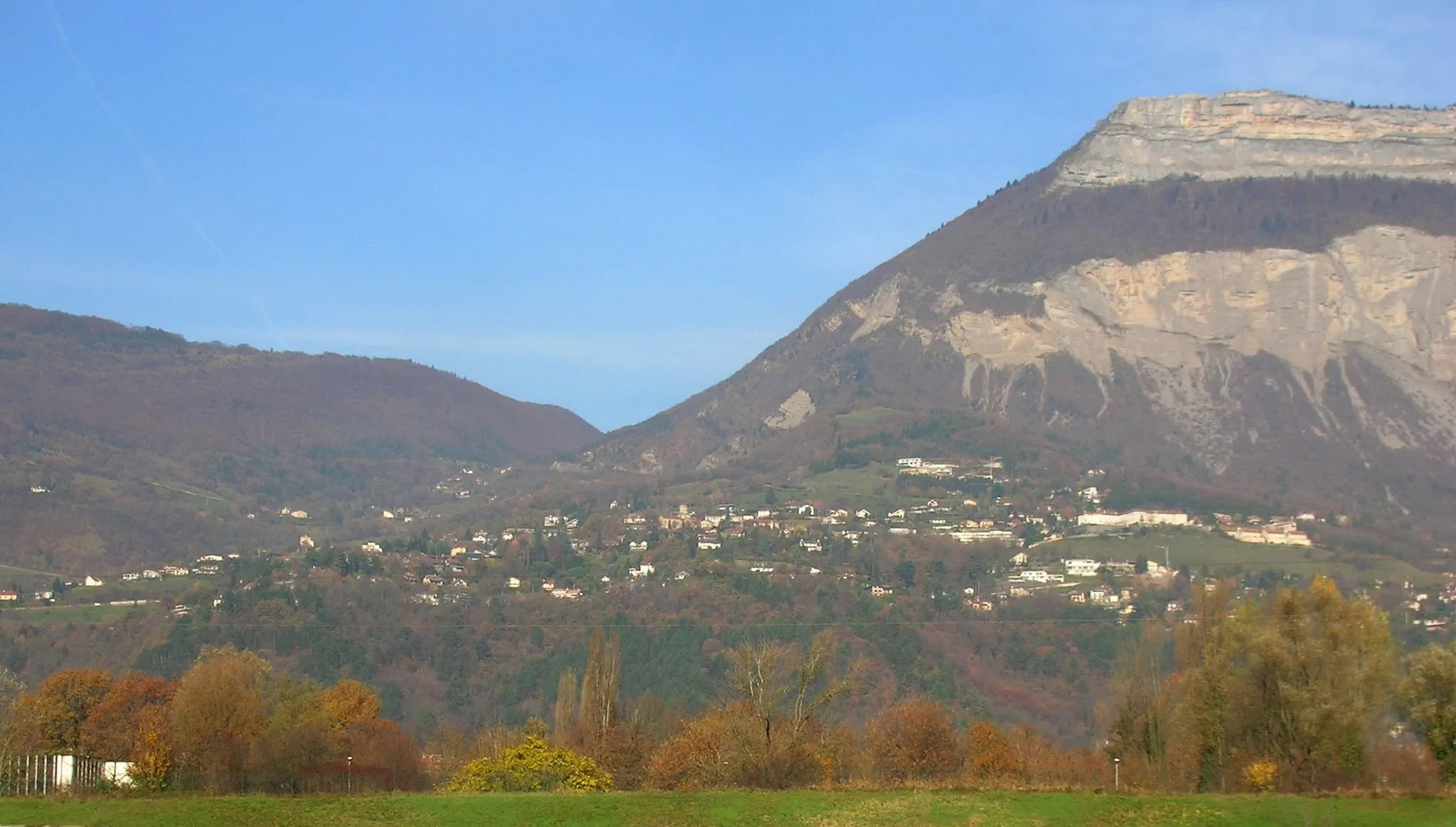
Start: Montbonnot-Saint-Martin Village centerMeylan: Meylan - Gateway to legendary climbs in the French Alps
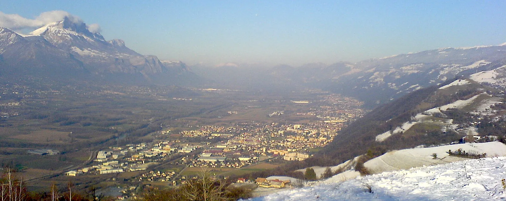
Meylan, located in the Rhône-Alpes region of France, offers road and gravel cyclists a diverse range of terrains and stunning landscapes. Nestled at the foot of the French Alps, Meylan immerses cyclists in a mountainous setting with breathtaking views. The town is close to famous cycling attractions, including the challenging climbs of Alpe d'Huez and Mont Ventoux. These legendary climbs attract cycling enthusiasts from around the world. Meylan itself boasts scenic routes that wind through beautiful valleys and forests. With its proximity to epic climbs and captivating natural surroundings, Meylan is a top destination for cyclists seeking a thrilling and unforgettable ride.0 km
0 km
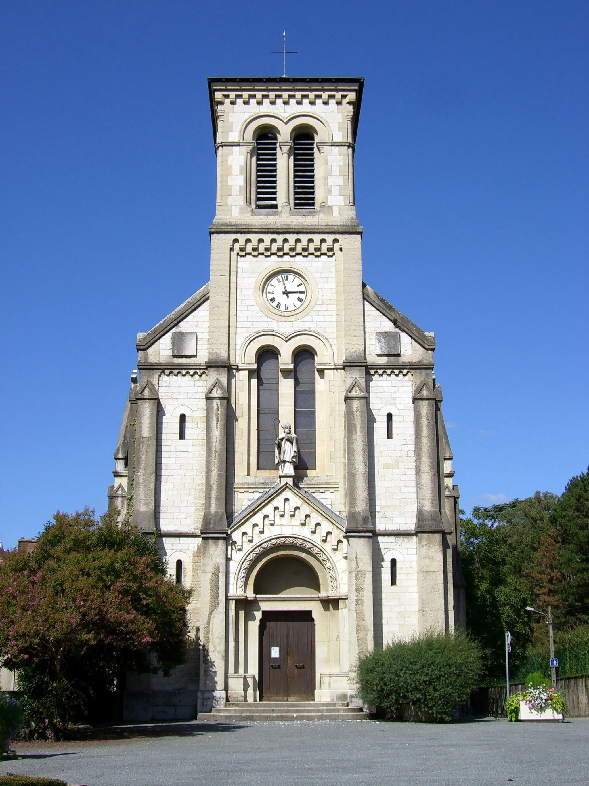
Montbonnot-Saint-MartinVillageVisit the charming town of Montbonnot-Saint-Martin along the route, known for its rich history and architectural beauty.
9 km
9 km
Mondieu479 mPeakExperience the tranquility of Mondieu, a small village surrounded by nature, making it a great spot to take a break and enjoy the scenery.
18 km
18 km
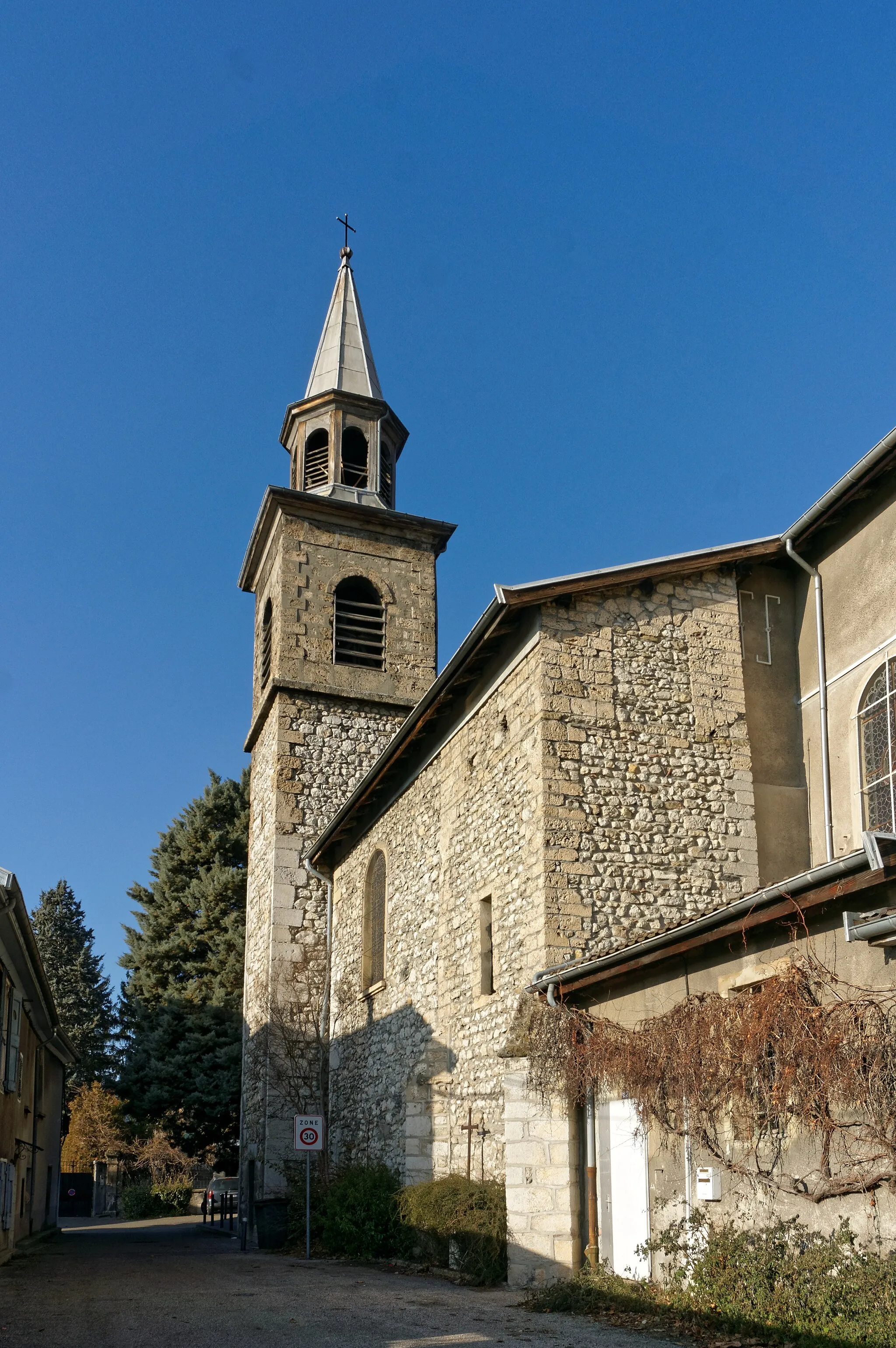
JarrieVillagePass through Jarrie, a historic village with narrow streets and traditional buildings, offering a glimpse into the local culture.
36 km
36 km
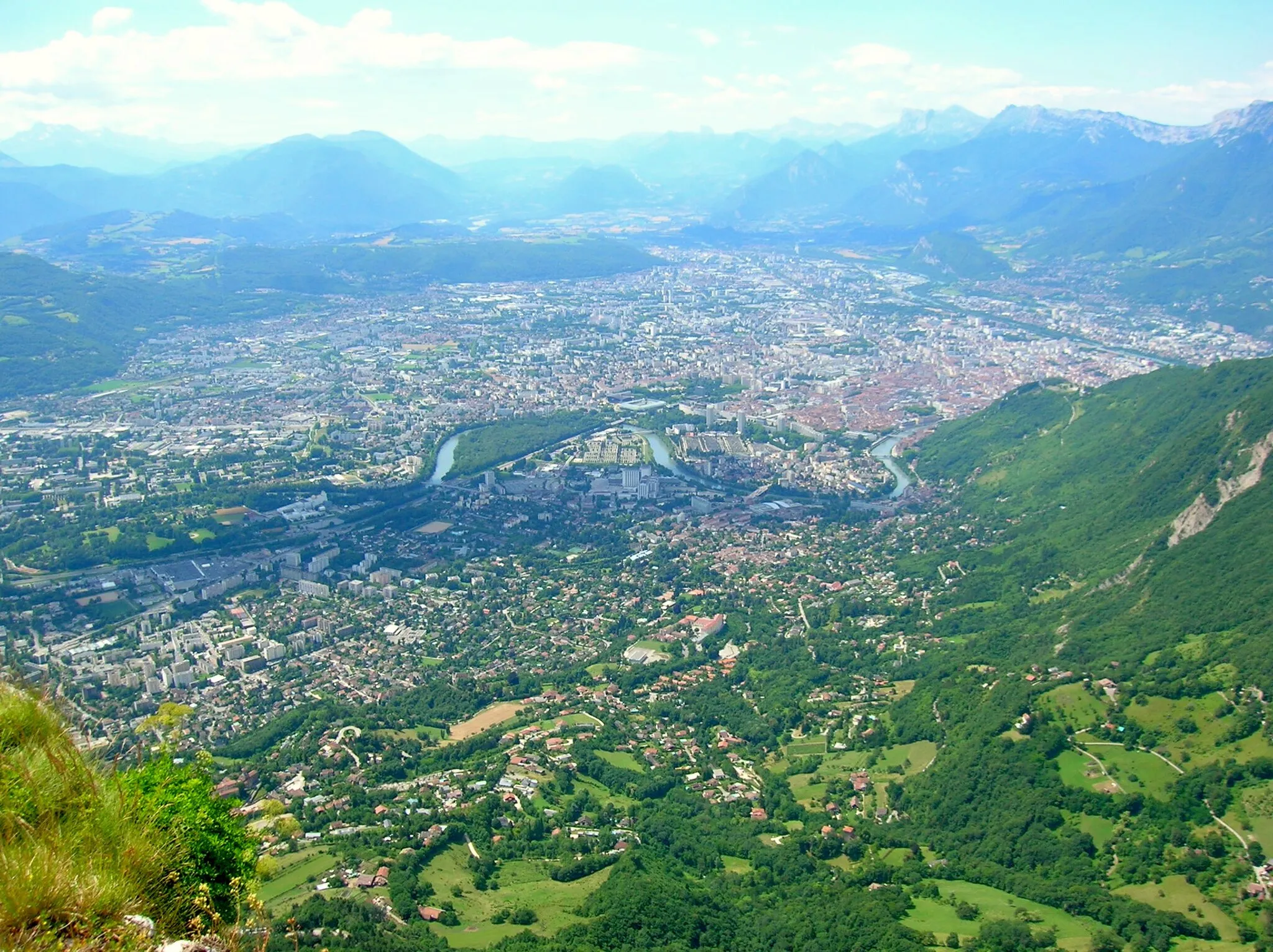
Montagne de Grand Rochefort409 mPeak ViewpointAscend to Montagne de Grand Rochefort, where you'll be rewarded with panoramic views of the surrounding mountains and valleys.
38 km
38 km
Le Pont-de-ClaixTownCross Le Pont-de-Claix, a charming bridge over the river, offering a peaceful and picturesque view.
47 km
47 km
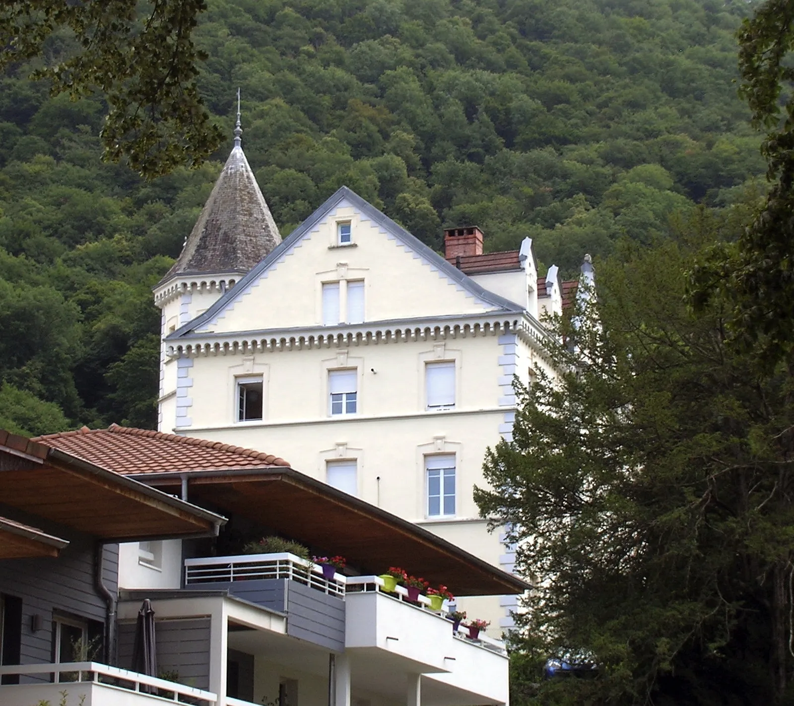
Saint-BrunoShelterMake a stop at Saint-Bruno, a small town known for its monastery, stunning architecture, and beautiful gardens.
49 km
49 km
Belvédère VaubanViewpointVisit the Belvédère Vauban, a historical monument offering breathtaking views of the landscape.
57 km
57 km
BiviersVillageExplore Biviers, a picturesque village known for its ancient church and surrounded by lush greenery.
57 km
57 km
Finish: Montbonnot-Saint-Martin Village centerMeylan: Meylan - Gateway to legendary climbs in the French Alps
Cycling routes from Meylan:
Road Route to Montbonnot-Saint-Martin Meylan - Montbonnot-Saint-Martin - Belvédaire - La Tour Sans Venin - Saint-Nizier-du-Moucherotte - Villard-de-Lans - Sommet de Meillarot - Choranche - Col de Toutes Aures - Saint-Romans - La Rivière - Bec de l'Échaillon - Rafour - Col de Vence Bernin - Montbonnot Gravel Loop Meylan - Col de Porte Road Challenge Meylan - Grenoble Circuit Meylan - La Tronche - Hôpital - Mont Jalla - Bec de l'Échaillon - Beaucroissant - Saint-Nicolas-de-Macherin - Tourniquet de Pierre-Chave - Saint-Laurent-du-Pont - Col de Porte - Le Sappey-en-Chartreuse - Corenc Gravel Adventure near Meylan Gravel Route to Montbonnot-Saint-Martin Meylan - Mont Jalla - Saint-Bruno - Col de Comboire - Claix - Le Petit Brion - Notre-Dame-de-Commiers - Saint-Georges-de-Commiers - Montagne de Grand Rochefort - Alsace - Lorraine - Mont Rachais Meylan - Col du Cucheron Epic Ride
Cycling routes nearby: