Road Route to Montbonnot-Saint-Martin
A road cycling route starting from Meylan
A challenging road route with breathtaking climbs
Map
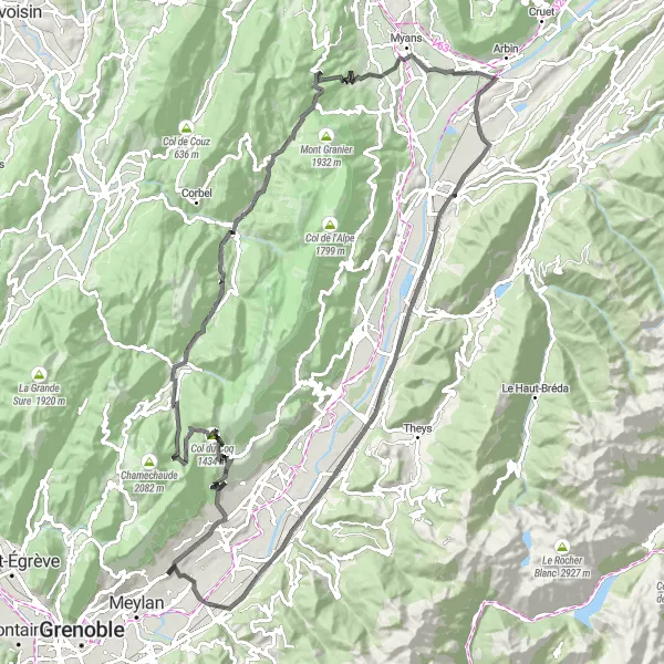
This 113km road route starting near Meylan offers a challenging yet rewarding cycling experience through the Rhône-Alpes region of France. With a significant ascent of 2546m, this route is best suited for well-trained amateurs seeking a thrilling adventure. The epicness score is 4, indicating a memorable cycling journey.
road
113 km
2546 m
Tough
Route profile
Highlights on the route
0 km
0 km
Start: Montbonnot-Saint-Martin Village centerMeylan: Meylan - Gateway to legendary climbs in the French Alps
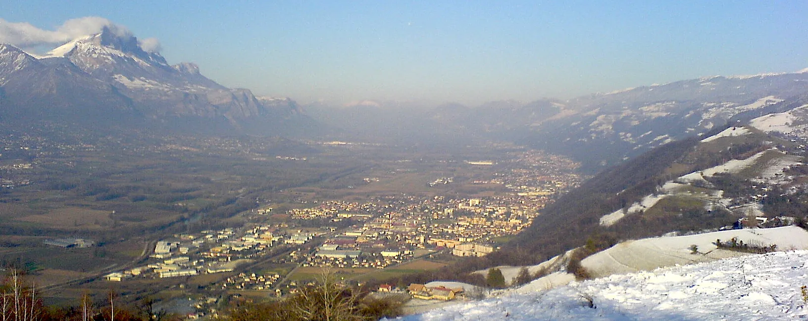
Meylan, located in the Rhône-Alpes region of France, offers road and gravel cyclists a diverse range of terrains and stunning landscapes. Nestled at the foot of the French Alps, Meylan immerses cyclists in a mountainous setting with breathtaking views. The town is close to famous cycling attractions, including the challenging climbs of Alpe d'Huez and Mont Ventoux. These legendary climbs attract cycling enthusiasts from around the world. Meylan itself boasts scenic routes that wind through beautiful valleys and forests. With its proximity to epic climbs and captivating natural surroundings, Meylan is a top destination for cyclists seeking a thrilling and unforgettable ride.1 km
1 km
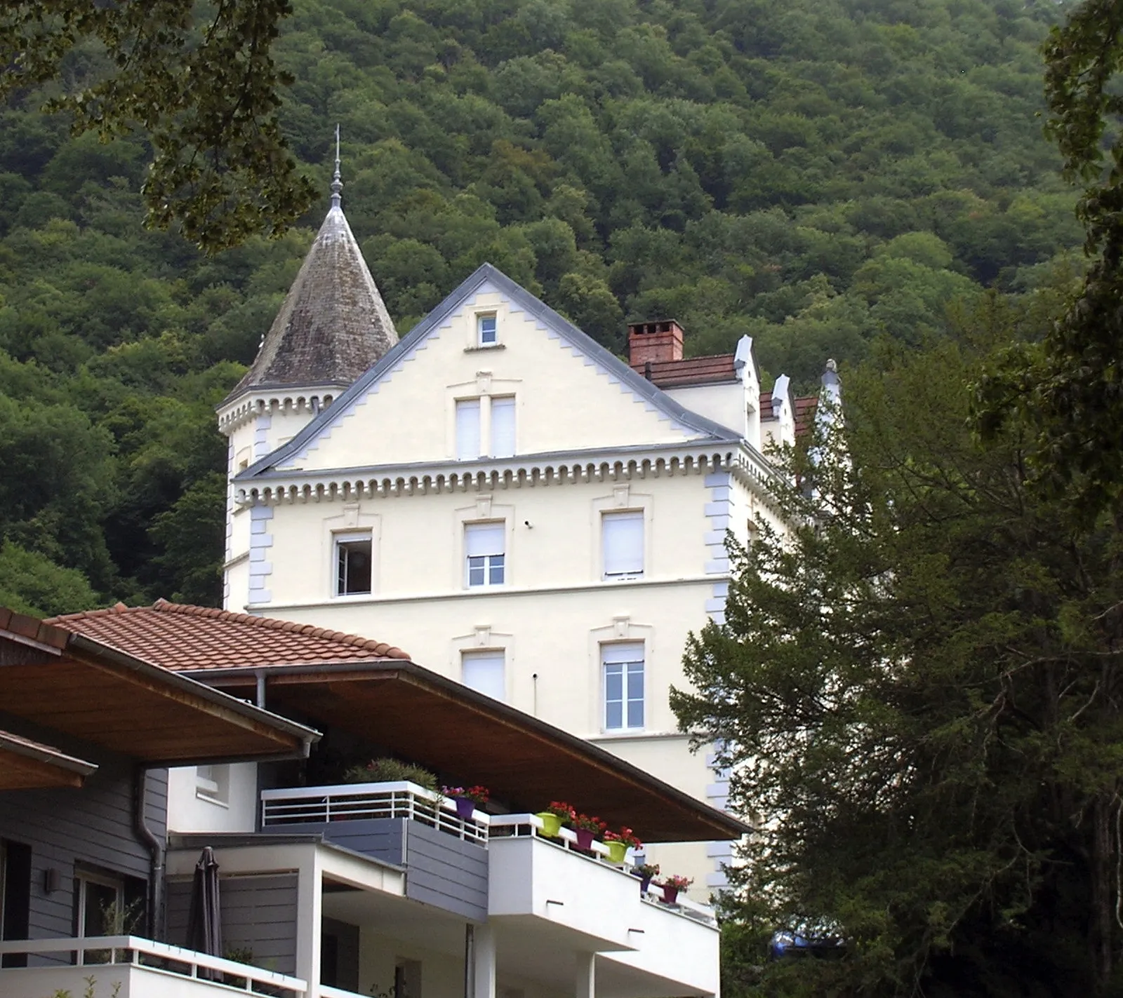
Château de ServiantinCastleTake a detour to visit the majestic Château de Serviantin, an ancient castle with a fascinating history.
17 km
17 km
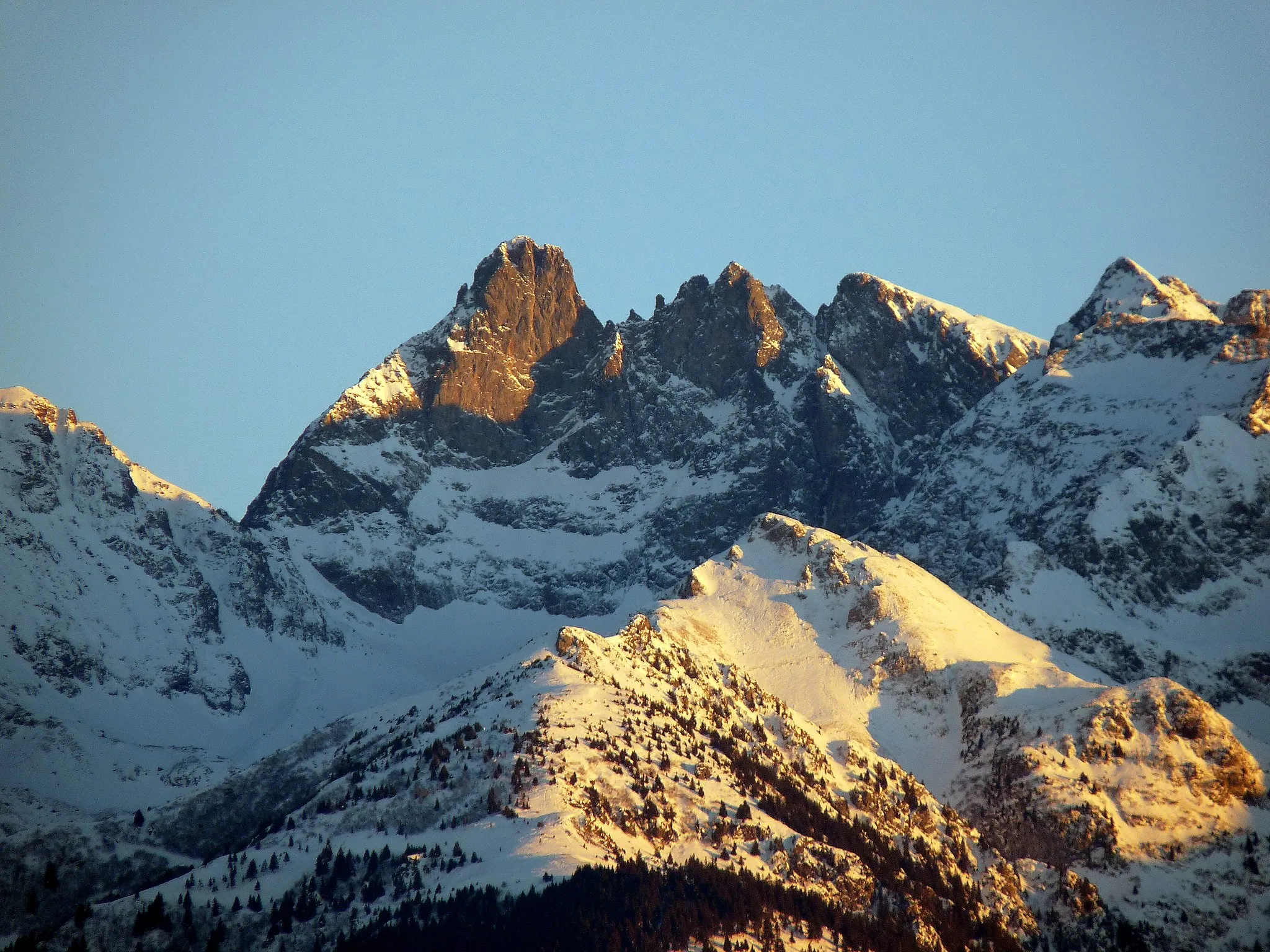
Col du Coq1434 mMountain PassConquer the Col du Coq, a demanding climb revered by cyclists for its stunning views and challenging gradient.
33 km
33 km
Col du Cucheron1140 mMountain PassReach the Col du Cucheron, a high mountain pass offering breathtaking vistas and a true sense of accomplishment upon conquering it.
41 km
41 km
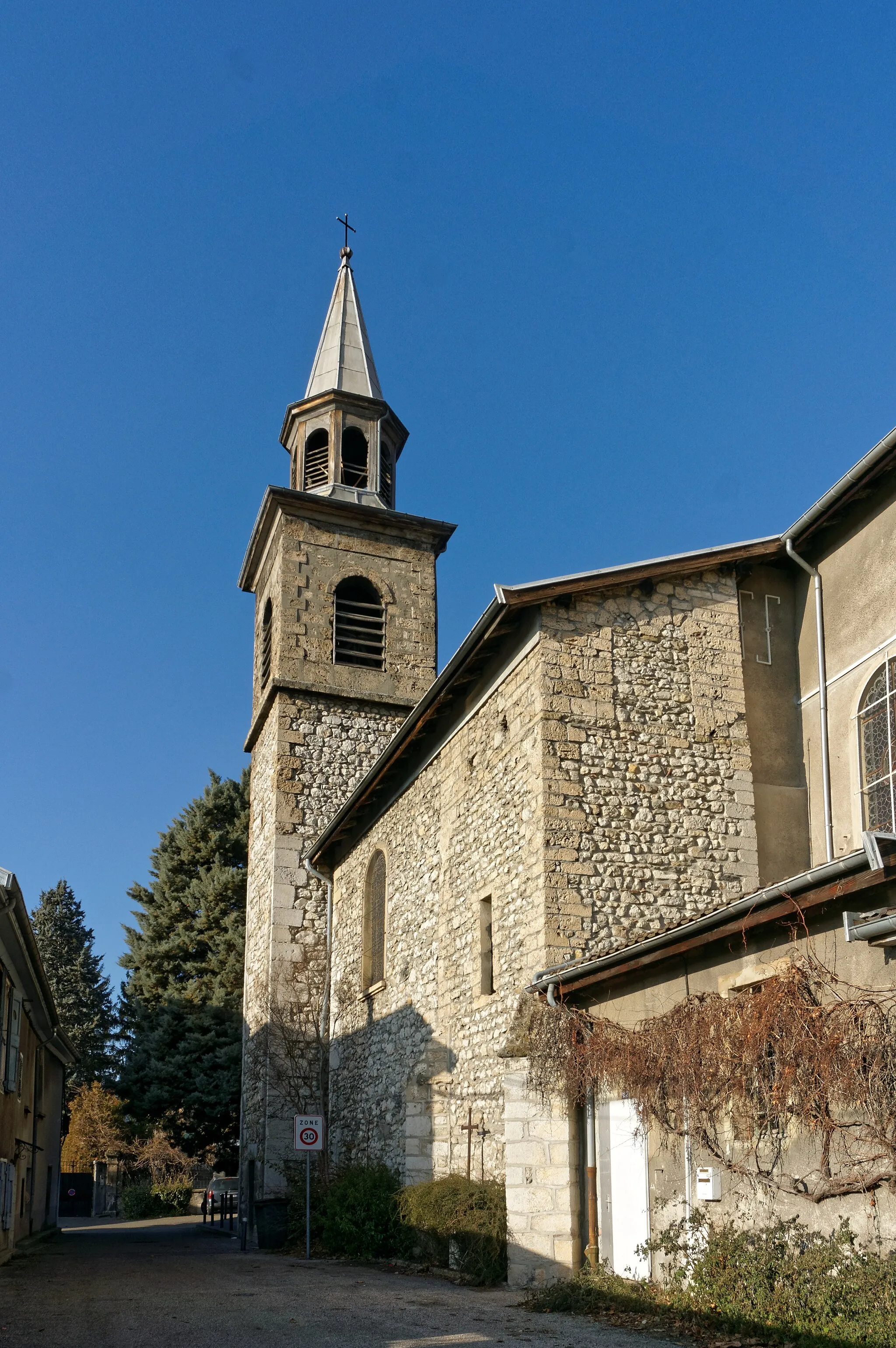
Saint-Pierre-d'Entremont (Savoie)VillagePass through the picturesque town of Saint-Pierre-d'Entremont (Savoie) and soak in the charming atmosphere of this alpine village.
50 km
50 km
Col du Granier1134 mMountain PassOvercome the challenging ascent of Col du Granier and be rewarded with panoramic views of the surrounding mountains.
65 km
65 km
Porte-de-SavoieVillageRide through Porte-de-Savoie, a historic gateway between two mountain ranges, offering a glimpse into the region's cultural heritage.
76 km
76 km
LaissaudVillageMake a stop at Laissaud, a picturesque village nestled amidst rolling hills and vineyards, showcasing the beauty of the French countryside.
104 km
104 km
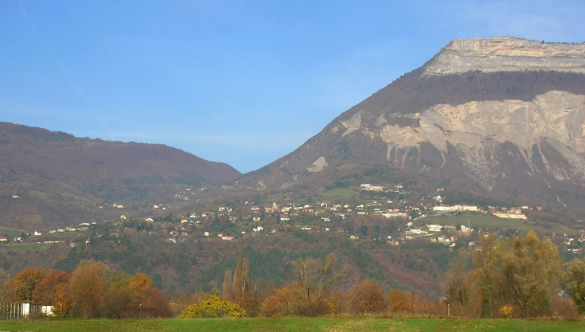
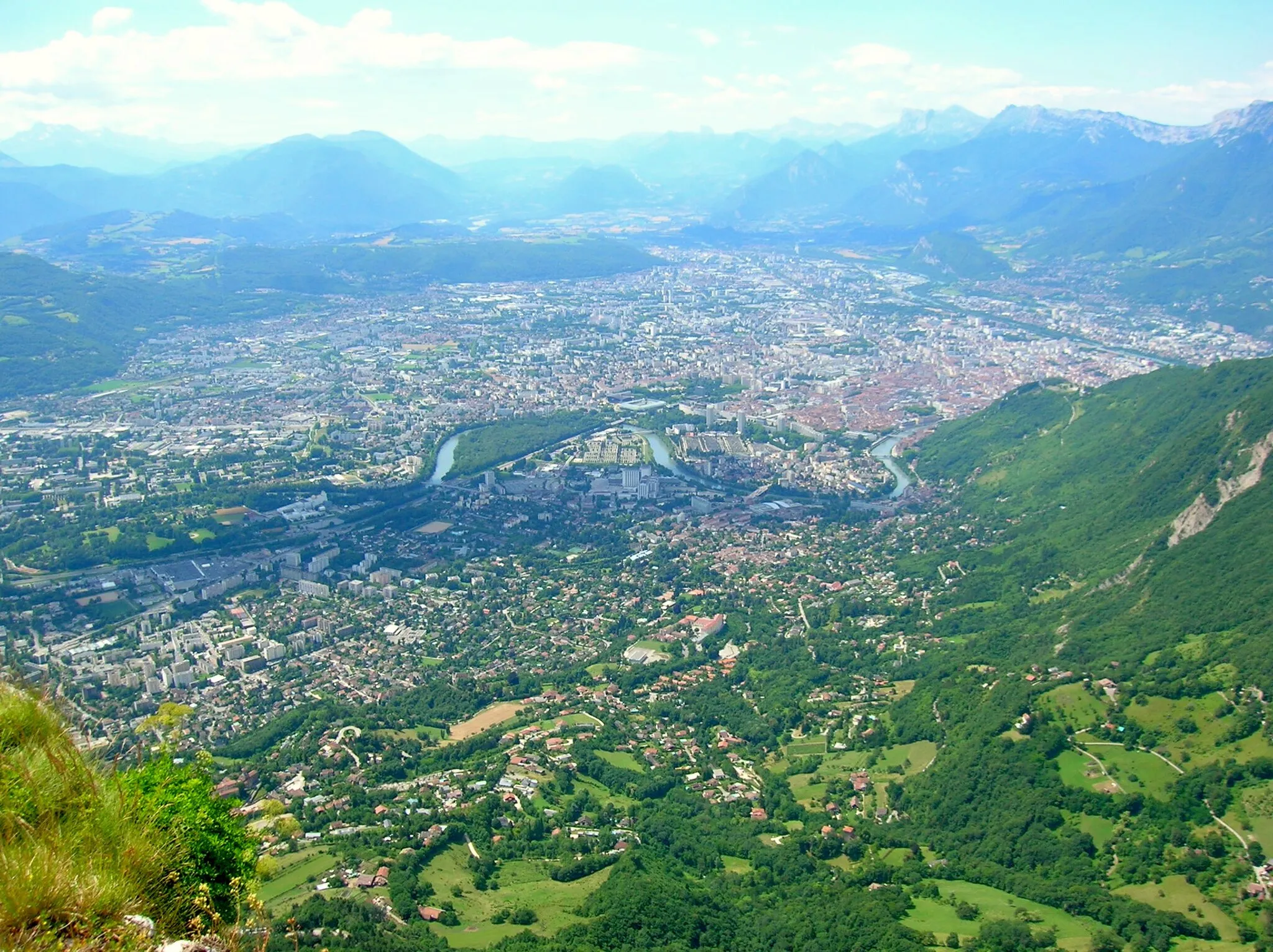
panorama du GrésivaudanViewpointWitness the breathtaking panorama du Grésivaudan, where the vast expanse of the valley unfolds before your eyes.
113 km
113 km
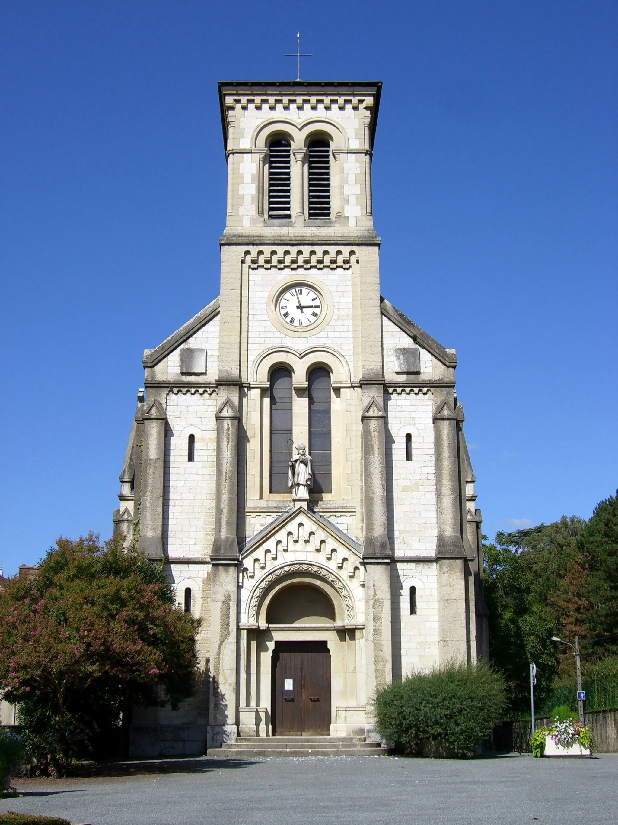
Montbonnot-Saint-MartinVillageComplete your journey by returning to Montbonnot-Saint-Martin, the starting point of this remarkable road route.
113 km
113 km
Finish: Montbonnot-Saint-Martin Village centerMeylan: Meylan - Gateway to legendary climbs in the French Alps
Cycling routes from Meylan:
Road Route to Montbonnot-Saint-Martin Meylan - Montbonnot-Saint-Martin - Belvédaire - La Tour Sans Venin - Saint-Nizier-du-Moucherotte - Villard-de-Lans - Sommet de Meillarot - Choranche - Col de Toutes Aures - Saint-Romans - La Rivière - Bec de l'Échaillon - Rafour - Col de Vence Bernin - Montbonnot Gravel Loop Meylan - Col de Porte Road Challenge Meylan - Grenoble Circuit Meylan - La Tronche - Hôpital - Mont Jalla - Bec de l'Échaillon - Beaucroissant - Saint-Nicolas-de-Macherin - Tourniquet de Pierre-Chave - Saint-Laurent-du-Pont - Col de Porte - Le Sappey-en-Chartreuse - Corenc Gravel Adventure near Meylan Gravel Route to Montbonnot-Saint-Martin Meylan - Mont Jalla - Saint-Bruno - Col de Comboire - Claix - Le Petit Brion - Notre-Dame-de-Commiers - Saint-Georges-de-Commiers - Montagne de Grand Rochefort - Alsace - Lorraine - Mont Rachais Meylan - Col du Cucheron Epic Ride
Cycling routes nearby: