Rhone-Alpes Road Cycling
A road cycling route starting from Saint-Maurice-sur-Dargoire
An epic road cycling adventure through the stunning landscapes of Rhône-Alpes
Map
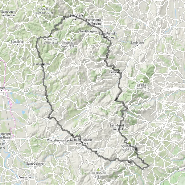
Covering a distance of 138 kilometers and an ascent of 2,851 meters, this road cycling route near Saint-Maurice-sur-Dargoire takes you through breathtaking landscapes in the Rhône-Alpes region. With highlights such as Table d'orientation, Col de la Croix Cazard, and Signal de Saint-André, this challenging route is perfect for experienced road cyclists seeking a thrilling adventure. Take in the panoramic views and explore charming villages like Larajasse and Saint-Romain-de-Popey along the way. This legendary route showcases the beauty of the region and offers a challenging yet rewarding experience for cycling enthusiasts.
road
138 km
2851 m
Savage
Route profile
Highlights on the route
0 km
0 km
Start: Saint-Maurice-sur-Dargoire Village centerSaint-Maurice-sur-Dargoire: Embark on memorable cycling adventures in Saint-Maurice-sur-Dargoire, Rhône-Alpes.
Saint-Maurice-sur-Dargoire, located in Rhône-Alpes, France, is a cyclist's paradise. The region offers a range of cycling routes suitable for both road and gravel cyclists. Stunning landscapes and challenging terrains await cyclists in Saint-Maurice-sur-Dargoire. One of the well-known climbs nearby is Col de la Croix de Chabouret, a favorite among cyclists seeking a tough challenge. The locality also provides easy access to other renowned cycling destinations in the Rhône-Alpes region. Overall, Saint-Maurice-sur-Dargoire is a fantastic destination for both cycling enthusiasts and tourists.5 km
5 km
Table d'orientationViewpointMarvel at the stunning views from Table d'orientation.
14 km
14 km
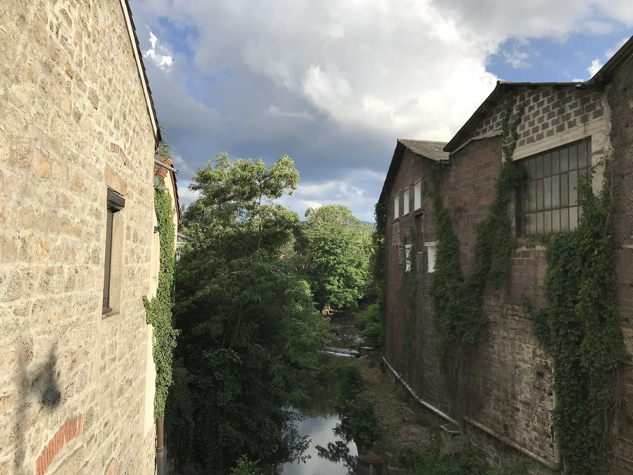
LarajasseVillagePass through the picturesque village of Larajasse.
39 km
39 km
Saint-Martin-LestraVillageExplore the charming village of Saint-Martin-Lestra.
60 km
60 km
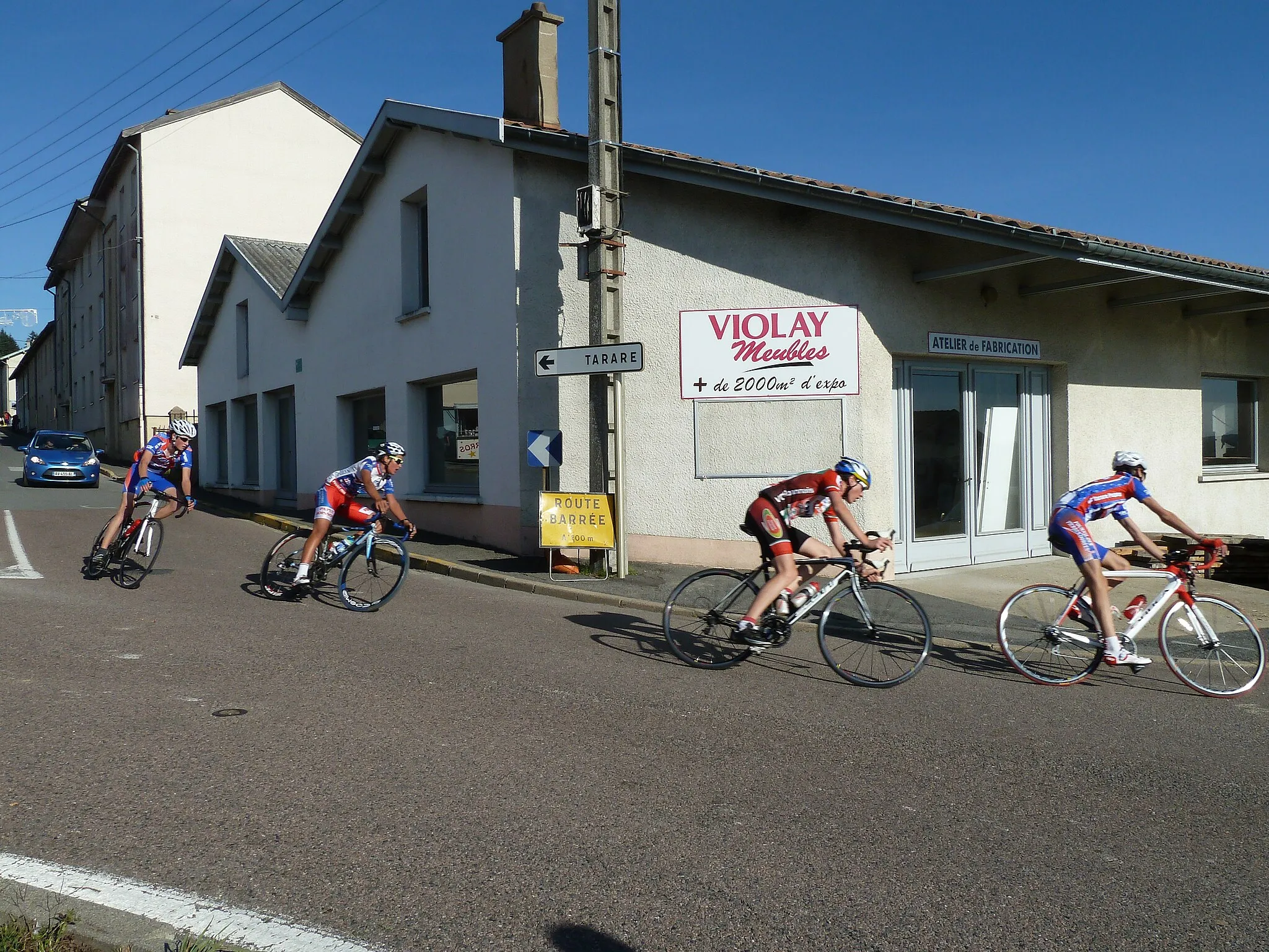
ViolayVillageConquer the challenging climb to Violay and enjoy the scenic landscapes.
61 km
61 km
Col de la Croix Cazard865 mMountain PassReach the summit of the Col de la Croix Cazard for breathtaking vistas.
82 km
82 km
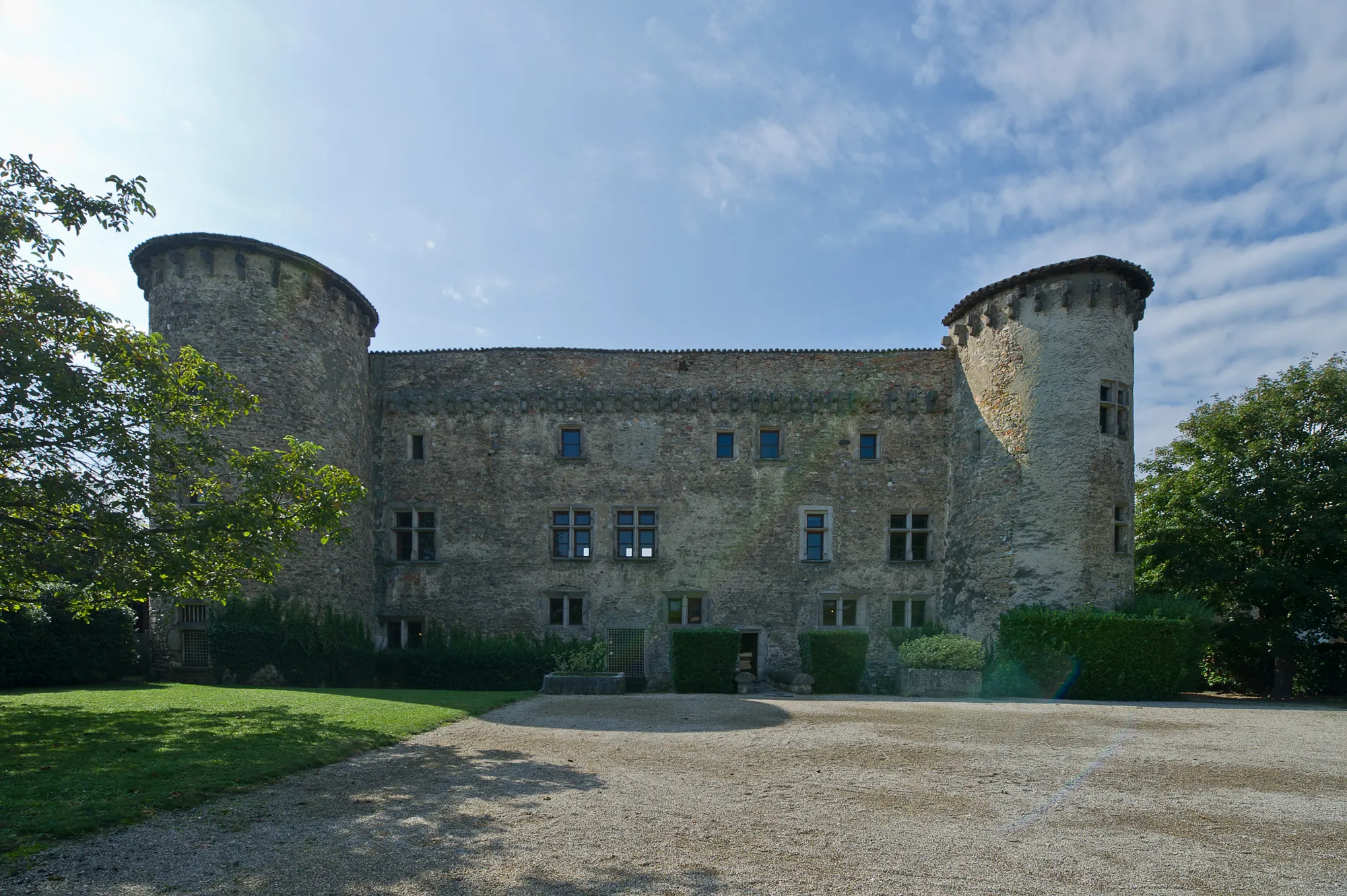
Saint-Romain-de-PopeyVillageDiscover the beauty of Saint-Romain-de-Popey with its traditional charm.
91 km
91 km
Saint-Julien-sur-BibostVillagePass through the scenic village of Saint-Julien-sur-Bibost.
103 km
103 km
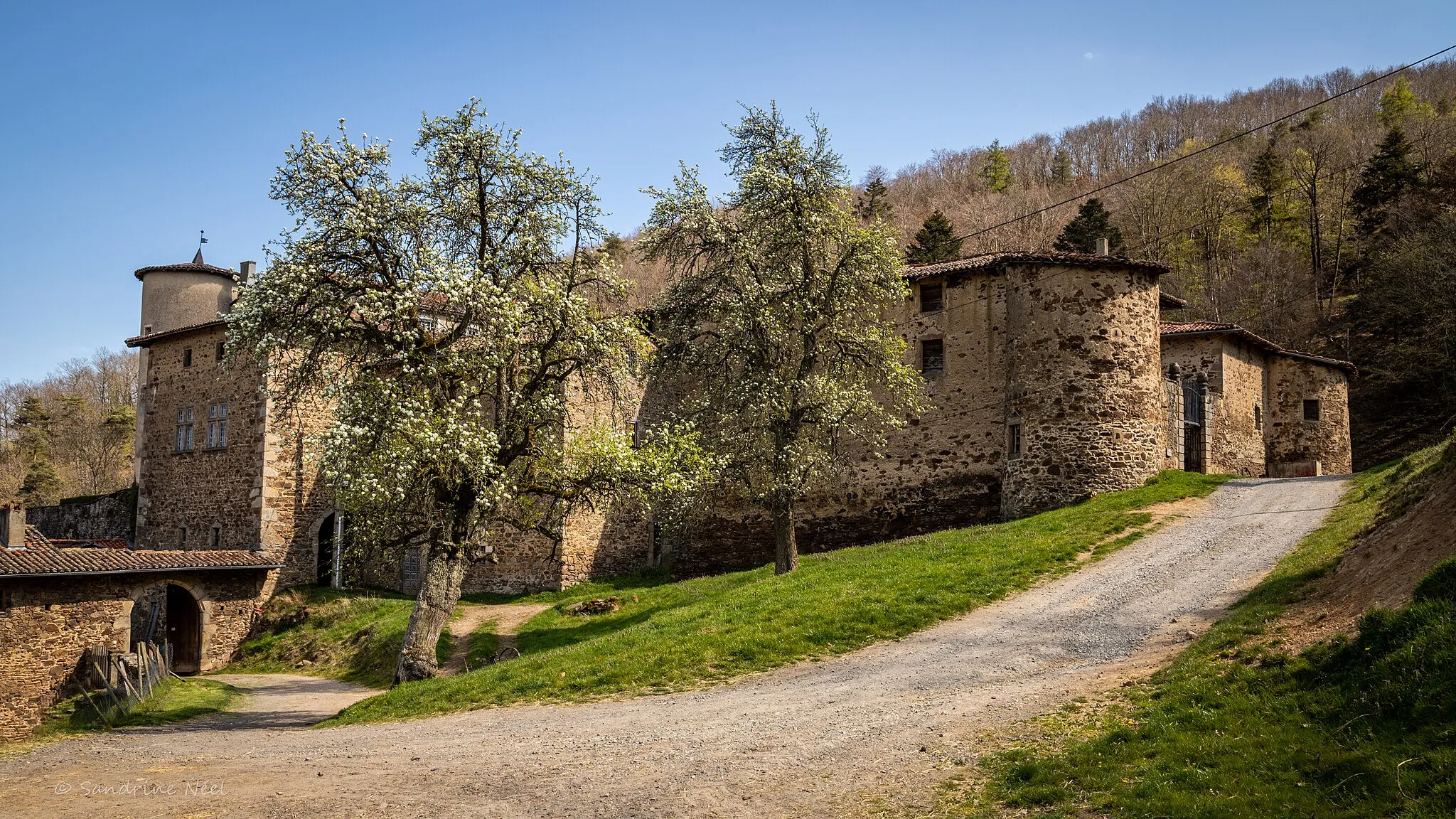
CourzieuVillageExplore the historical village of Courzieu with its rich heritage.
109 km
109 km
Col de la Croix de Part811 mMountain PassClimb the challenging Col de la Croix de Part and enjoy stunning views.
125 km
125 km
Signal de Saint-André934 mPeakCycle to the iconic Signal de Saint-André for unforgettable panoramic vistas.
126 km
126 km
Saint-André-la-CôteVillagePass through the picturesque village of Saint-André-la-Côte with its charming atmosphere.
138 km
138 km
Finish: Saint-Maurice-sur-Dargoire Village centerSaint-Maurice-sur-Dargoire: Embark on memorable cycling adventures in Saint-Maurice-sur-Dargoire, Rhône-Alpes.
Cycling routes from Saint-Maurice-sur-Dargoire:
Rural Gravel Route Rhône-Alpes Adventure Rhone-Alpes Road Cycling Gravel Loop to Châteauneuf and Col de Pavezin Scenic Road Cycling Road Loop to Châteauneuf and Col de l'Œillon Gravel Adventure Challenging Gravel Loop to Crêt de Chagneux and Sainte-Catherine Scenic Gravel Ride to Yzeron and Thurins Classic Country Road
Cycling routes nearby: