Scenic Road Cycling
A road cycling route starting from Saint-Maurice-sur-Dargoire
A scenic road cycling route through the breathtaking landscapes of Rhône-Alpes
Map
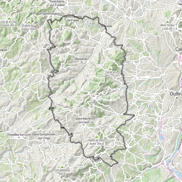
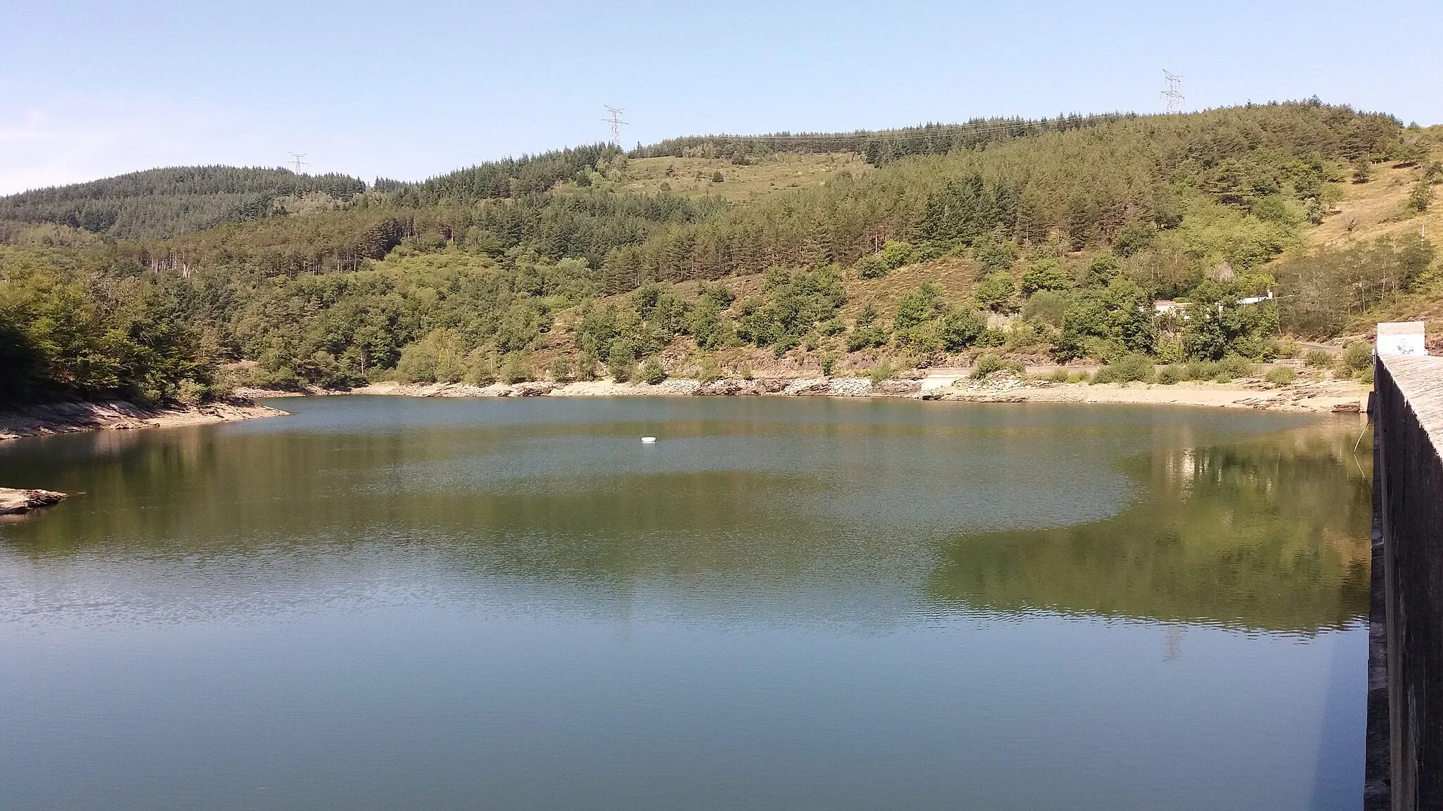
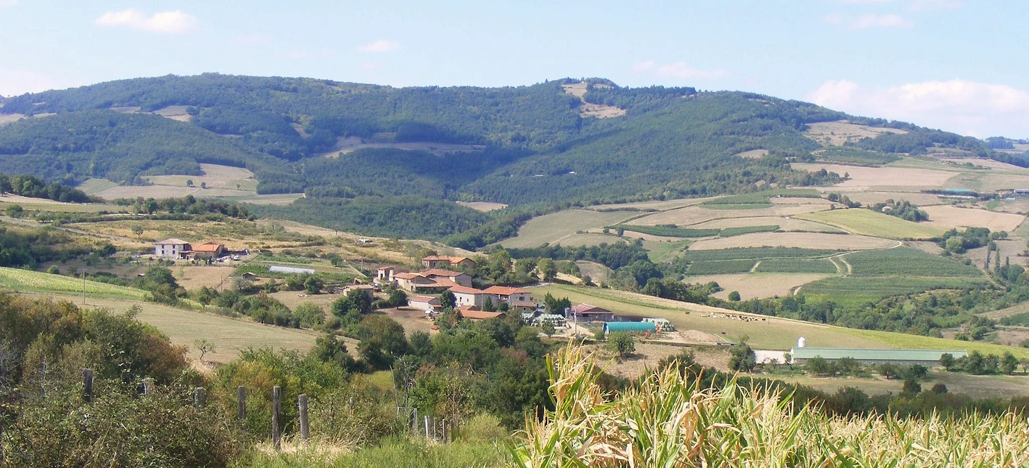
With a distance of 120 kilometers and an ascent of 2,144 meters, this road cycling route near Saint-Maurice-sur-Dargoire offers a scenic journey through the stunning landscapes of the Rhône-Alpes region. Pass through picturesque villages like Sainte-Catherine and Montrottier as you take in the natural beauty of the surroundings. Highlights such as Table d'orientation, L'Arbresle, and Sainte-Foy-l'Argentière will leave you inspired by the enchanting landscapes. Perfect for intermediate to advanced road cyclists, this route combines challenging climbs with spectacular views, making it an unforgettable experience for cycling enthusiasts.
road
120 km
2144 m
Tough
Route profile
Highlights on the route
0 km
0 km
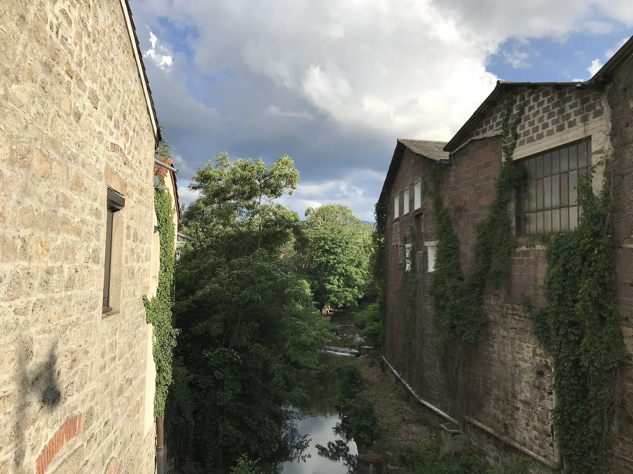
Start: Saint-Maurice-sur-Dargoire Village centerSaint-Maurice-sur-Dargoire: Embark on memorable cycling adventures in Saint-Maurice-sur-Dargoire, Rhône-Alpes.
Saint-Maurice-sur-Dargoire, located in Rhône-Alpes, France, is a cyclist's paradise. The region offers a range of cycling routes suitable for both road and gravel cyclists. Stunning landscapes and challenging terrains await cyclists in Saint-Maurice-sur-Dargoire. One of the well-known climbs nearby is Col de la Croix de Chabouret, a favorite among cyclists seeking a tough challenge. The locality also provides easy access to other renowned cycling destinations in the Rhône-Alpes region. Overall, Saint-Maurice-sur-Dargoire is a fantastic destination for both cycling enthusiasts and tourists.5 km
5 km
Table d'orientationViewpointExperience the breathtaking views from Table d'orientation.
7 km
7 km
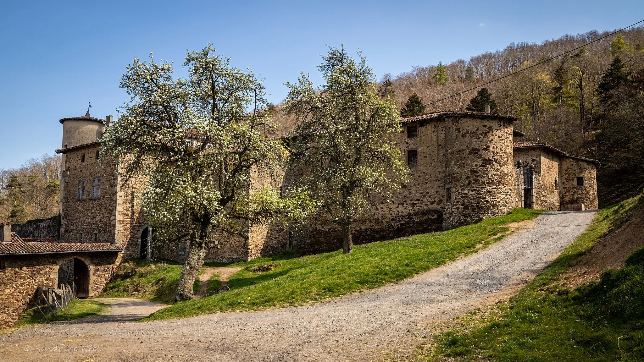
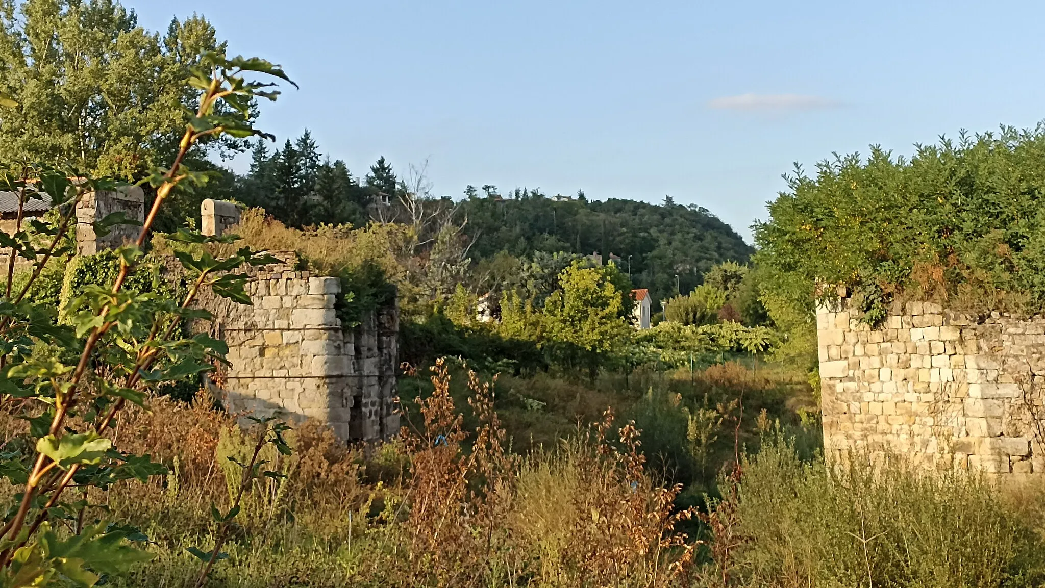
Sainte-CatherineVillagePass through the charming village of Sainte-Catherine.
29 km
29 km
Sainte-Foy-l'ArgentièreVillageExplore the scenic beauty of Sainte-Foy-l'Argentière.
45 km
45 km
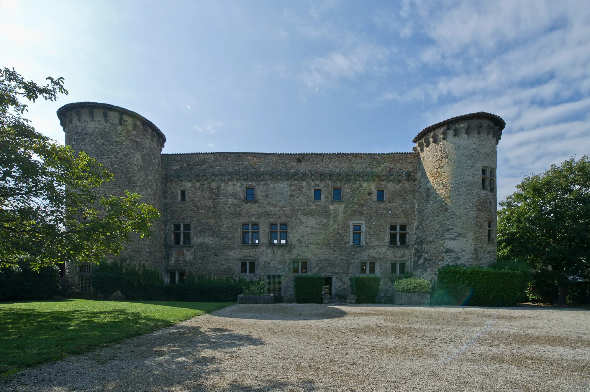
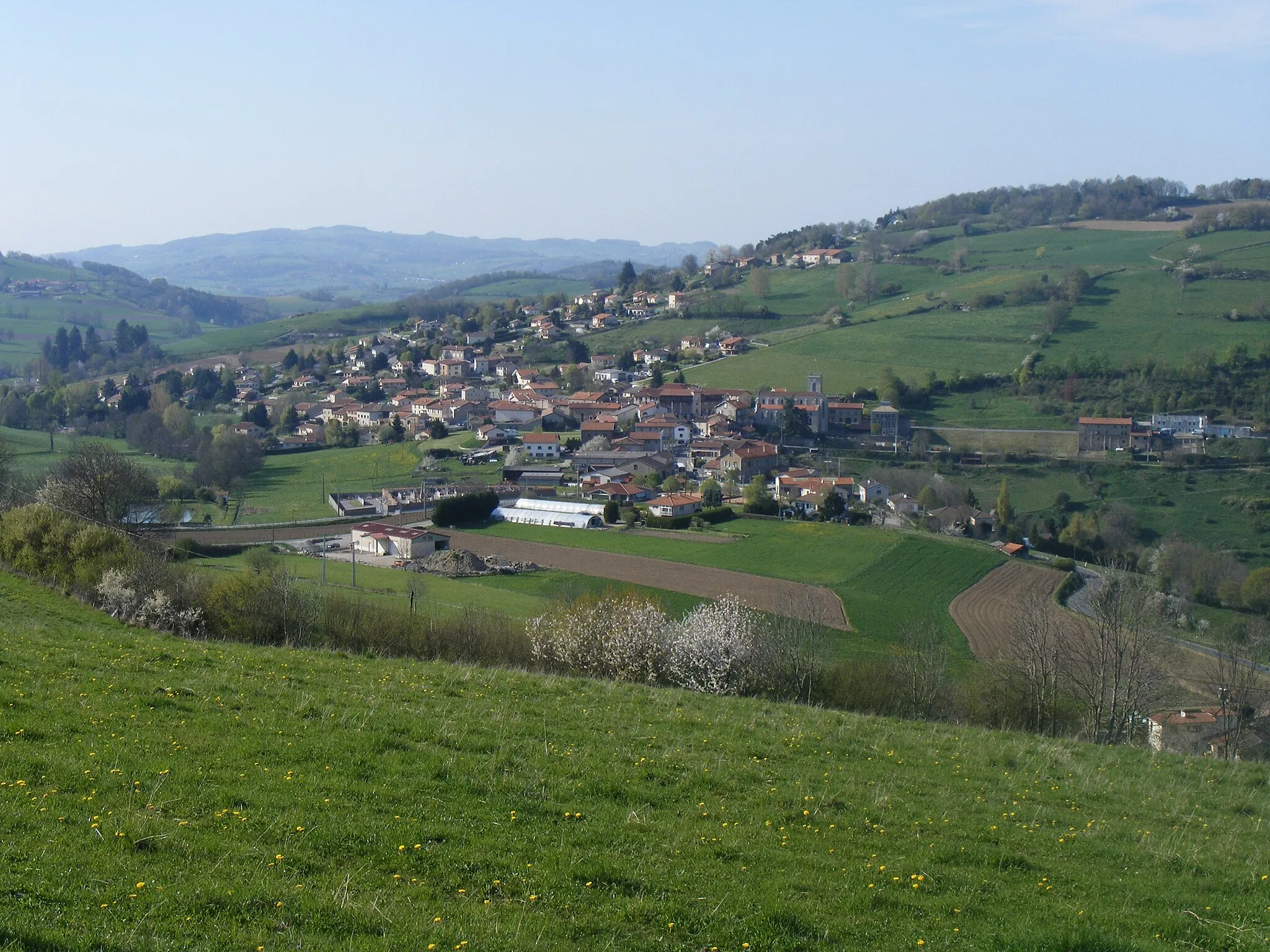
MontrottierVillageVisit the historic village of Montrottier and admire its architectural heritage.
51 km
51 km
Crêt Pélerat852 mPeakCycle to the stunning Crêt Pélerat and enjoy panoramic views of the surroundings.
72 km
72 km
L'ArbresleVillagePass through the picturesque village of L'Arbresle with its charming atmosphere.
85 km
85 km
PollionnayVillageDiscover the beauty of Pollionnay with its tranquil surroundings.
95 km
95 km
MessimyVillageVisit the peaceful village of Messimy nestled in the scenic landscapes.
105 km
105 km
Crêt du Bouchat586 mPeakClimb up to the summit of Crêt du Bouchat for breathtaking vistas.
113 km
113 km
Saint-SorlinVillageExperience the charm of Saint-Sorlin with its traditional architecture and scenic surroundings.
115 km
115 km
Crêt de Piralougnon557 mPeakPass through the picturesque Crêt de Piralougnon and take in the natural beauty.
120 km
120 km
Finish: Saint-Maurice-sur-Dargoire Village centerSaint-Maurice-sur-Dargoire: Embark on memorable cycling adventures in Saint-Maurice-sur-Dargoire, Rhône-Alpes.
Cycling routes from Saint-Maurice-sur-Dargoire:
Rural Gravel Route Rhône-Alpes Adventure Rhone-Alpes Road Cycling Gravel Loop to Châteauneuf and Col de Pavezin Scenic Road Cycling Road Loop to Châteauneuf and Col de l'Œillon Gravel Adventure Challenging Gravel Loop to Crêt de Chagneux and Sainte-Catherine Scenic Gravel Ride to Yzeron and Thurins Classic Country Road
Cycling routes nearby: