Wachenroth and the Surrounding Villages
A gravel cycling route starting from Burghaslach
Cycle through the charming villages near Burghaslach
Map
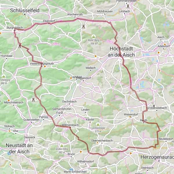
This route takes you through picturesque villages near Burghaslach, including Wachenroth, Höchstadt an der Aisch, and Breitenlohe. The route offers beautiful scenery, with rolling hills and countryside views. It is suitable for gravel bikes and provides a moderate challenge with 780 meters of ascent over a distance of 74 kilometers. Cyclists will enjoy exploring the quaint villages and experiencing the tranquil atmosphere of rural Mittelfranken.
gravel
74 km
780 m
Tough
Route profile
Highlights on the route
0 km
0 km
Start: Burghaslach Village centerBurghaslach: Discover the tranquil beauty of Burghaslach on your road or gravel cycling adventure.
Burghaslach is a locality in Germany, situated in the Mittelfranken region. From a cyclist's perspective, Burghaslach offers peaceful road and gravel cycling opportunities. The region provides picturesque countryside scenery with vineyards and charming villages. Cyclists can explore the Franconian Switzerland region, known for its natural beauty. Nearby, there's the famous climb of Schlüsselberg, offering a challenging ascent with panoramic views over the landscape.9 km
9 km
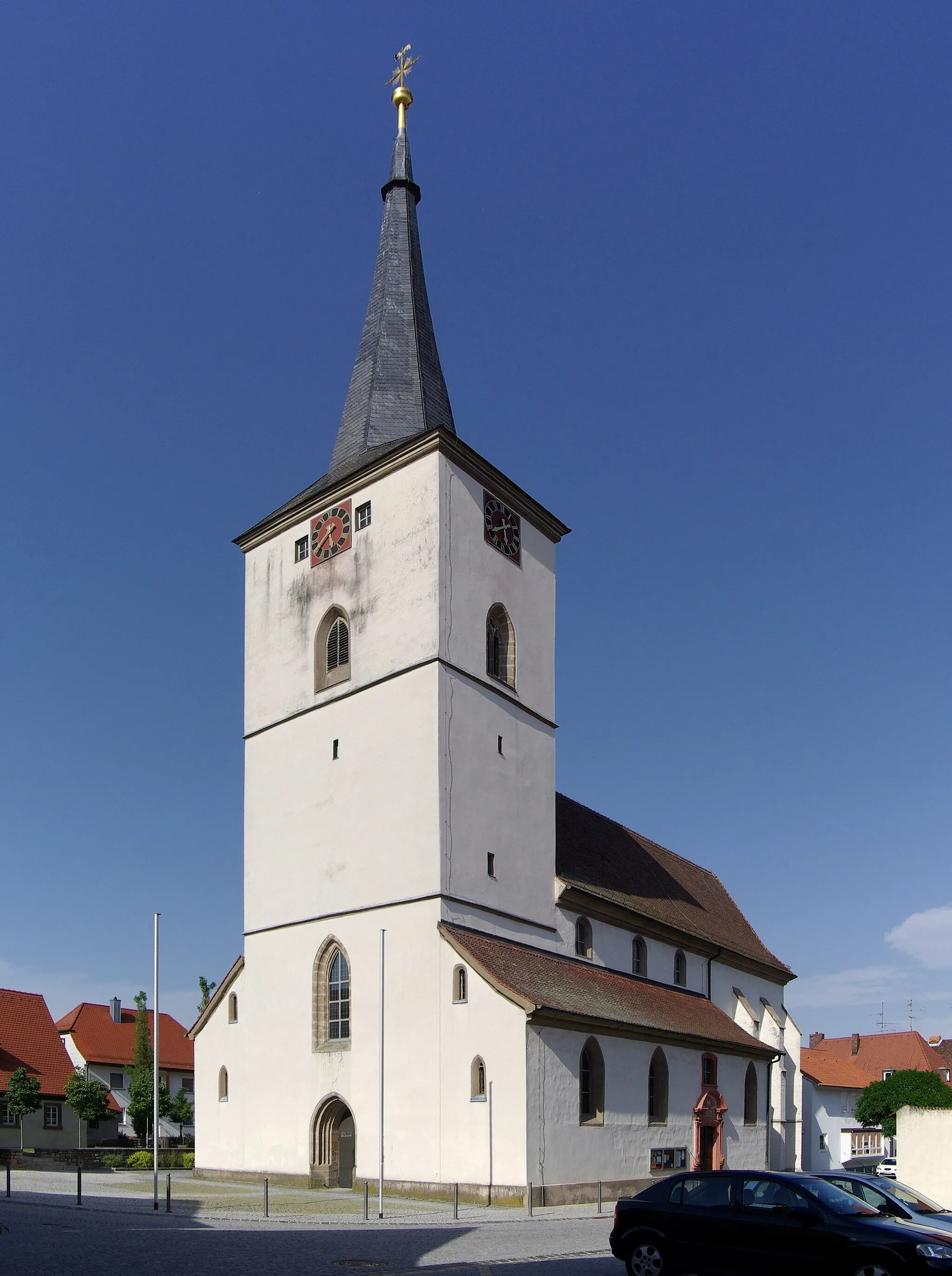
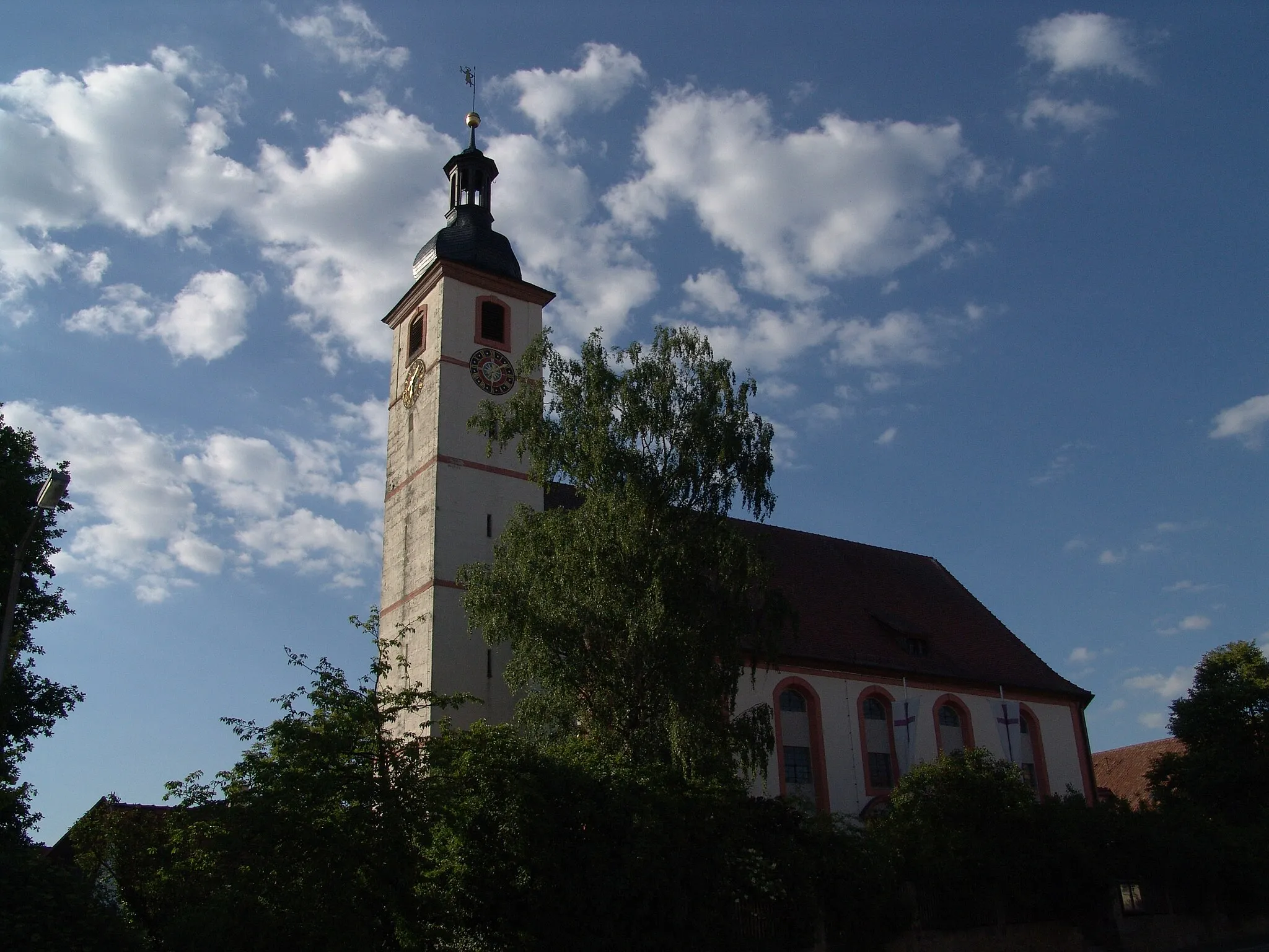
WachenrothVillageWachenroth is a charming village with half-timbered houses and a historic church. Take a break and explore the local bakery for a taste of traditional Franconian treats.
19 km
19 km
Höchstadt an der AischTownHöchstadt an der Aisch is worth a visit for its well-preserved old town, featuring a castle and beautiful Renaissance buildings.
23 km
23 km
Pfaffenberg328 mPeakPfaffenberg offers stunning views of the surrounding countryside. Stop at the lookout point and admire the panorama.
39 km
39 km
Schwelgenberg327 mPeakSchwelgenberg is a small hill with a peaceful chapel on top. Enjoy the tranquility and take in the serene surroundings.
45 km
45 km
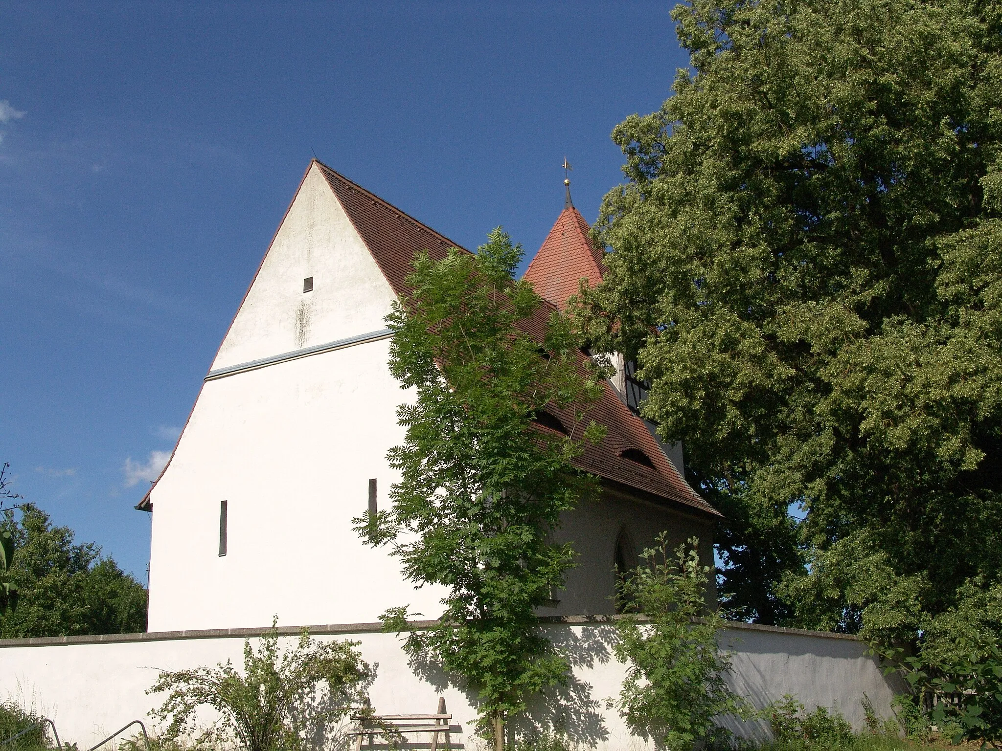
NankenhofHamletNankenhof is an idyllic village known for its traditional Franconian farmhouses. Marvel at the charming architecture as you pass through.
60 km
60 km
Roßkopf347 mPeakRoßkopf is a hill offering a challenging climb with rewarding views at the top. Enjoy the sense of accomplishment as you conquer this ascent.
63 km
63 km
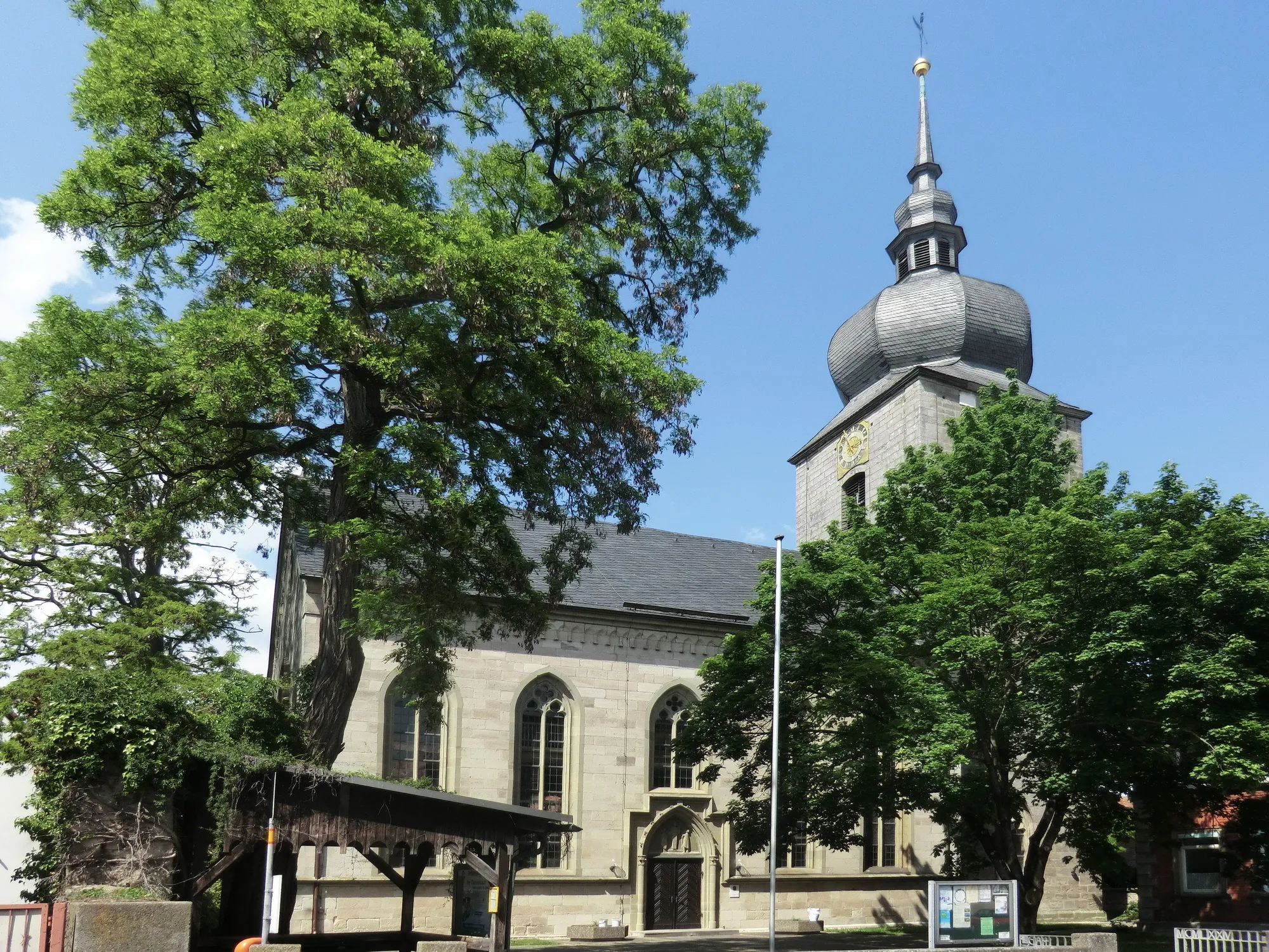
SchornweisachVillageSchornweisach is a small village with a peaceful atmosphere. Take a moment to relax in the village square and enjoy the rural scenery.
71 km
71 km
Düllberg393 mPeakDüllberg is a scenic hill with striking rock formations. Pause at one of the viewpoints along the route to admire the natural beauty.
71 km
71 km
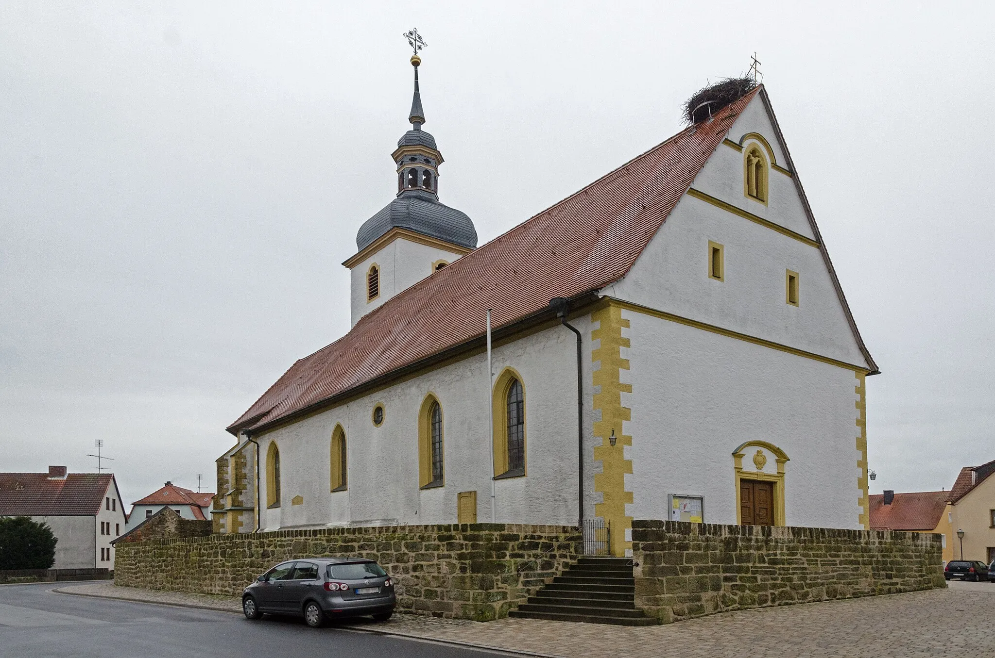
BreitenloheCastleBreitenlohe is a charming village with lovely traditional Franconian houses. Take a stroll through the village and soak up the quaint atmosphere.
74 km
74 km
Finish: Burghaslach Village centerBurghaslach: Discover the tranquil beauty of Burghaslach on your road or gravel cycling adventure.
Cycling routes from Burghaslach:
The Gravel Hills Loop Discovering Gravel Delights Bridging Rural Beauty Burghaslach Loop Burghaslach Adventure Uncovering Hidden Gems Exploring Enchanting Landscapes Wachenroth and Röttenbach Loop Cycling through the Traversing Villages Burghaslach Road Cycling Route Wachenroth and the Surrounding Villages Rural Beauty and Serenity
Cycling routes nearby: