Burghaslach Road Cycling Route
A road cycling route starting from Burghaslach
Adventure through the scenic road landscapes near Burghaslach.
Map

This road cycling route near Burghaslach takes you on a 107 km journey through picturesque landscapes and charming villages. With a total ascent of 1269 m, this route presents a moderate challenge suitable for well-trained amateur cyclists. The route starts at Büchhöhe and takes you through highlights such as Dachsbach, Altschauerberg, Kolmberg, and Neuhof an der Zenn before reaching the beautiful Burg Hoheneck. The scenic ride continues with stops at Zogelsberg, Langenfeld, and Hohe Föhren, finally concluding at Markt Taschendorf. Overall, this route offers a rewarding cycling experience with captivating views and interesting landmarks.
road
107 km
1269 m
Chill
Route profile
Highlights on the route
0 km
0 km
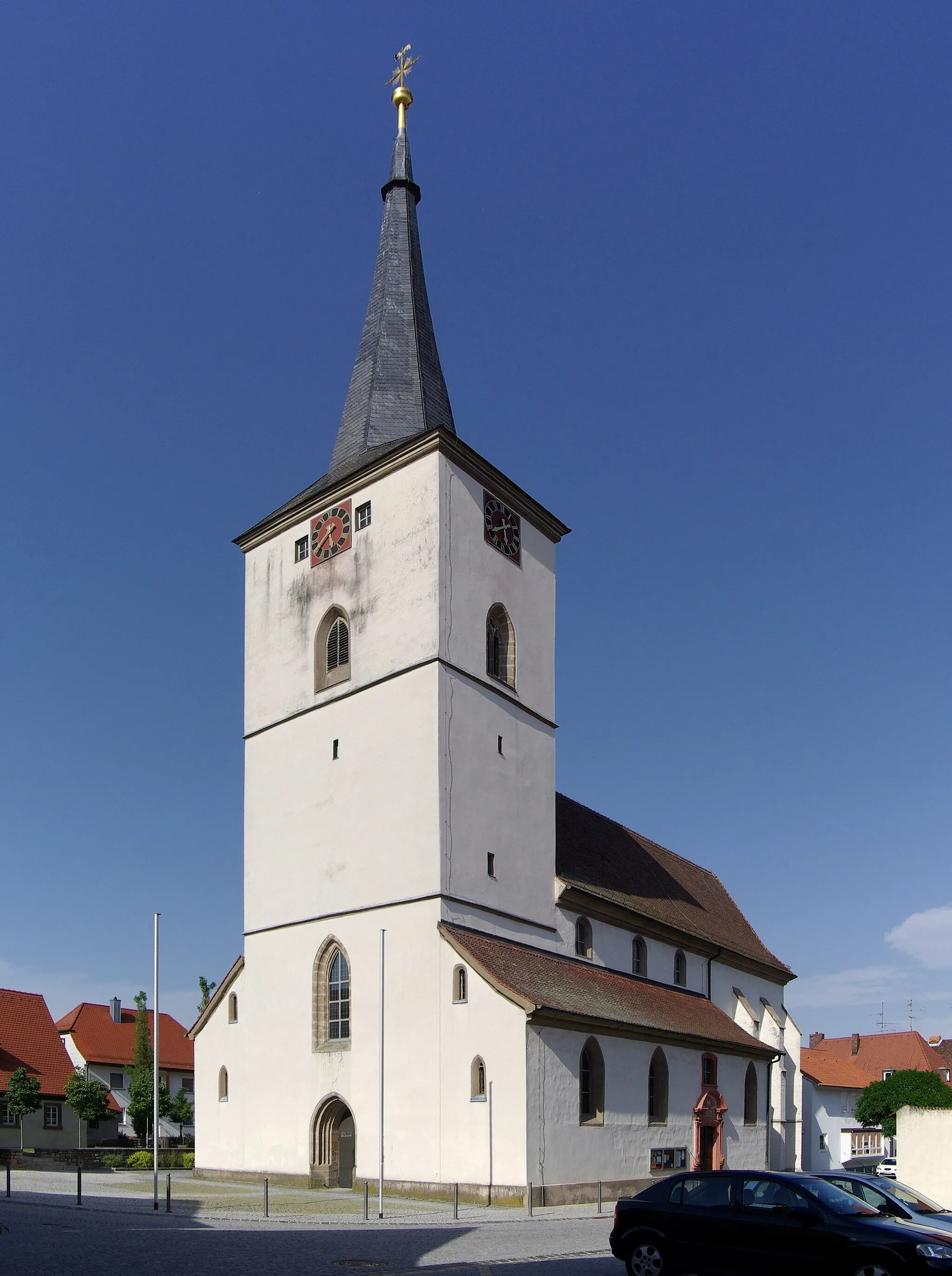
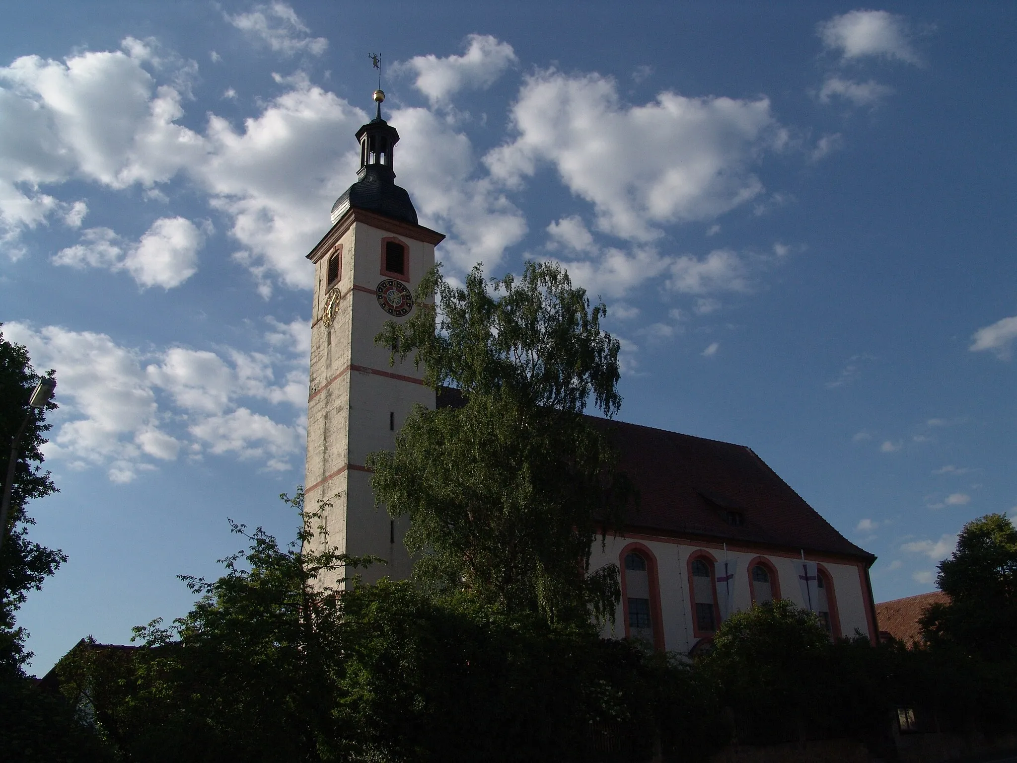
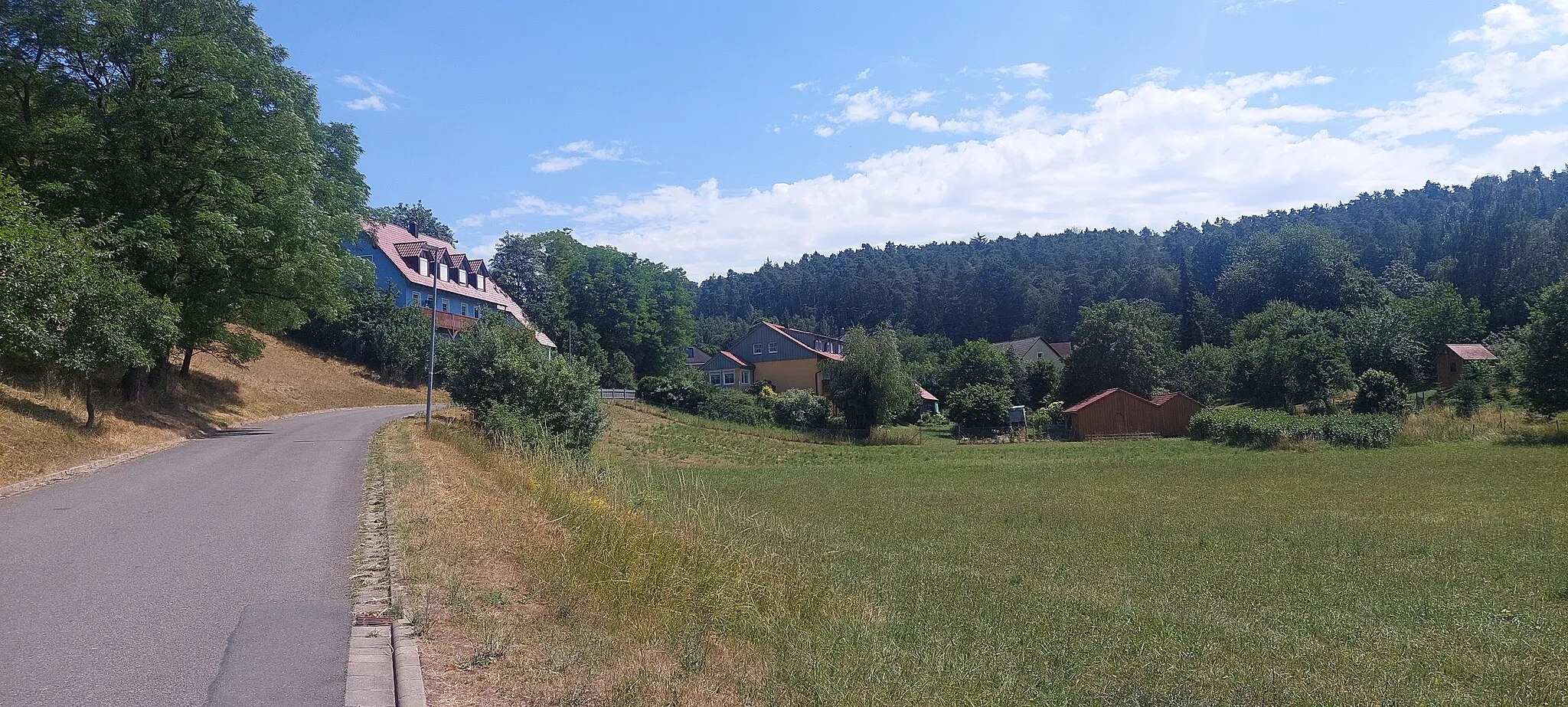
Start: Niederndorf Village centerBurghaslach: Discover the tranquil beauty of Burghaslach on your road or gravel cycling adventure.
Burghaslach is a locality in Germany, situated in the Mittelfranken region. From a cyclist's perspective, Burghaslach offers peaceful road and gravel cycling opportunities. The region provides picturesque countryside scenery with vineyards and charming villages. Cyclists can explore the Franconian Switzerland region, known for its natural beauty. Nearby, there's the famous climb of Schlüsselberg, offering a challenging ascent with panoramic views over the landscape.14 km
14 km
Büchhöhe337 mPeakBüchhöhe offers a stunning panoramic view of the surrounding landscapes.
16 km
16 km
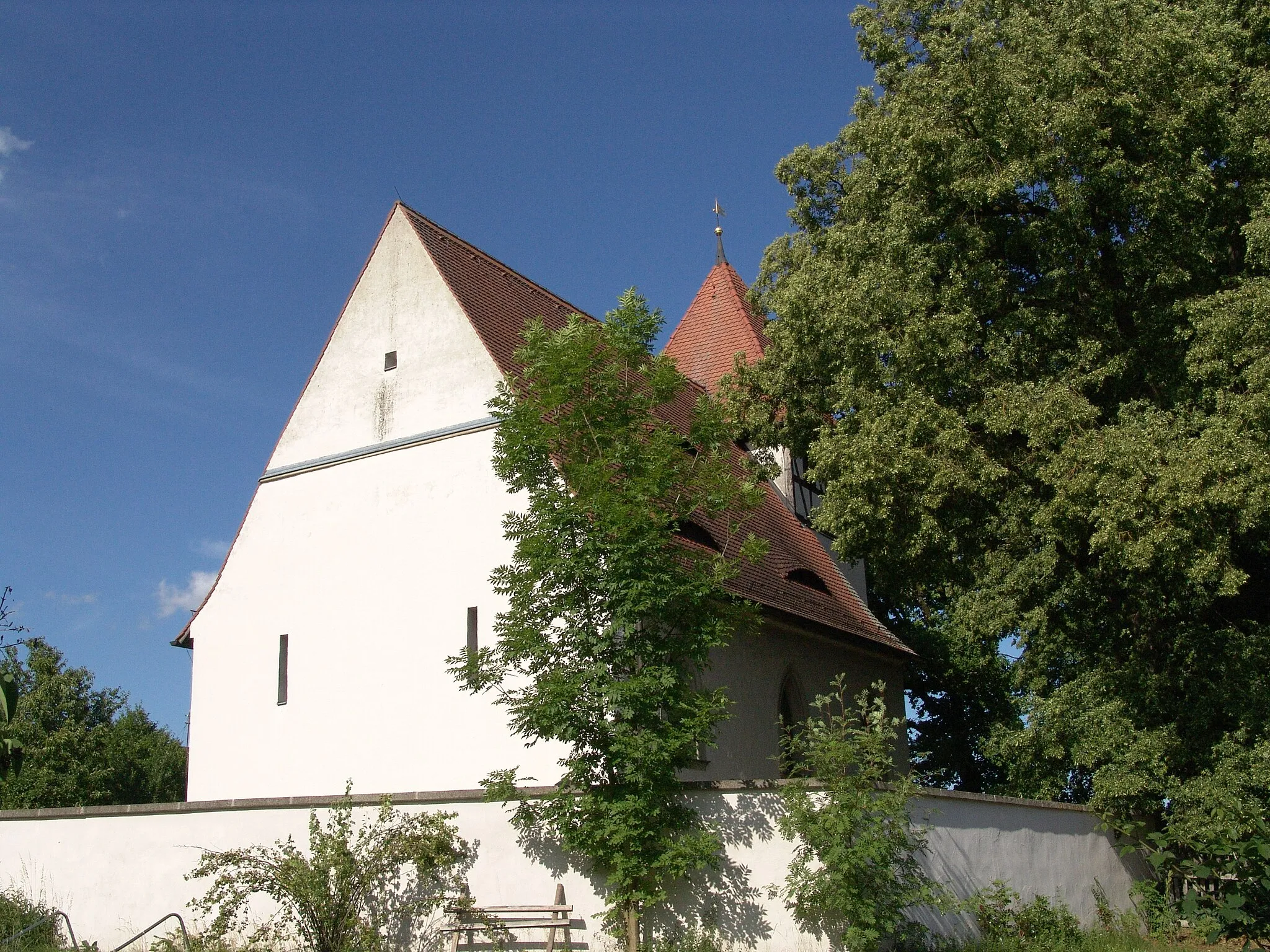
DachsbachVillageDachsbach is a charming village known for its half-timbered houses and traditional architecture.
34 km
34 km
AltschauerbergVillageAltschauerberg is a historic site with ancient ruins and provides a great spot for observing the surrounding nature.
47 km
47 km
Kolmberg411 mPeakKolmberg is a small hill with a scenic viewpoint overlooking the countryside.
48 km
48 km
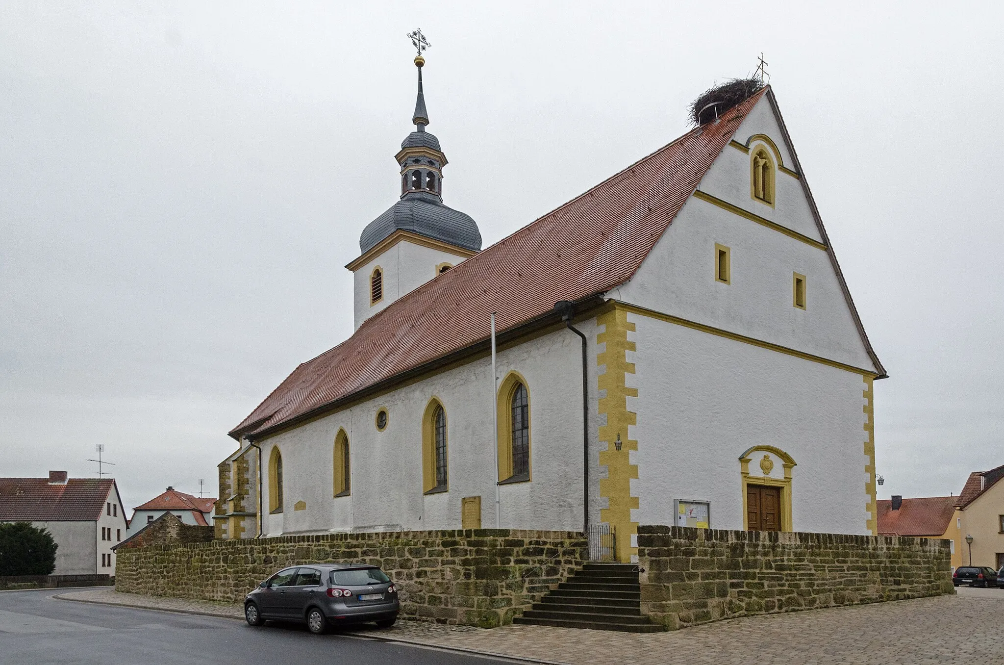
Neuhof an der ZennVillageNeuhof an der Zenn is a cozy town with a picturesque old town center and traditional German architecture.
58 km
58 km
Plattenhöhe474 mPeakPlattenhöhe offers a stunning view over the rolling hills of the region.
71 km
71 km
Burg HoheneckCastleBurg Hoheneck is a medieval castle that has been beautifully preserved and offers insightful historical tours.
79 km
79 km
Zogelsberg343 mPeakZogelsberg is a small village with preserved half-timbered houses and a peaceful atmosphere.
85 km
85 km
LangenfeldVillageLangenfeld is a picturesque village known for its well-preserved traditional architecture.
97 km
97 km
Hohe Föhren414 mPeakHohe Föhren is a scenic spot with tall pine trees creating a unique atmosphere.
99 km
99 km
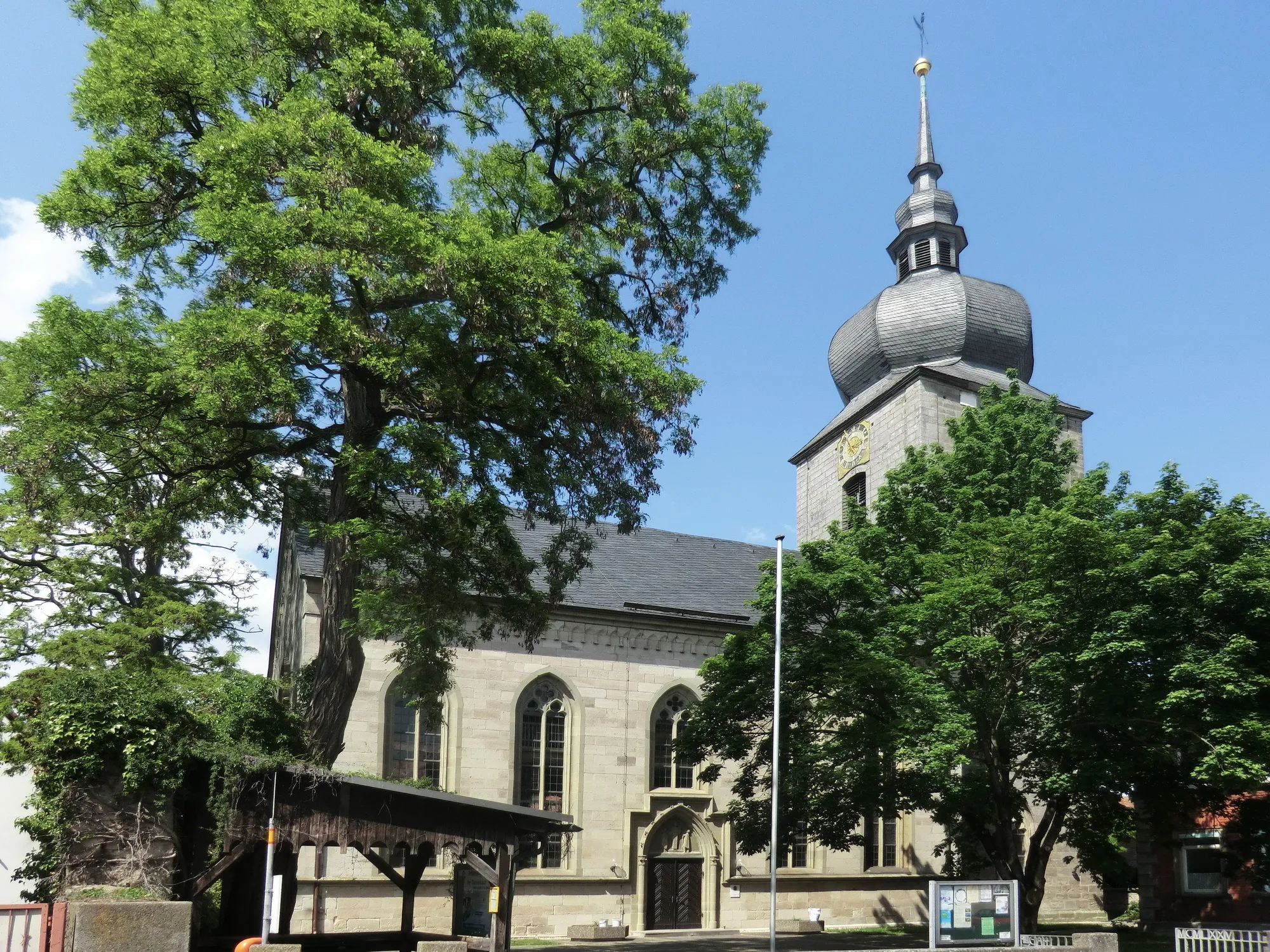
Markt TaschendorfVillageMarkt Taschendorf is a charming village with a historic market square and traditional Franconian buildings.
107 km
107 km
Finish: Niederndorf Village centerBurghaslach: Discover the tranquil beauty of Burghaslach on your road or gravel cycling adventure.
Cycling routes from Burghaslach:
The Gravel Hills Loop Discovering Gravel Delights Bridging Rural Beauty Burghaslach Loop Burghaslach Adventure Uncovering Hidden Gems Exploring Enchanting Landscapes Wachenroth and Röttenbach Loop Cycling through the Traversing Villages Burghaslach Road Cycling Route Wachenroth and the Surrounding Villages Rural Beauty and Serenity
Cycling routes nearby: