Exploring Enchanting Landscapes
A road cycling route starting from Burghaslach
Immerse yourself in the enchanting landscapes of Mittelfranken on this road cycling adventure.
Map
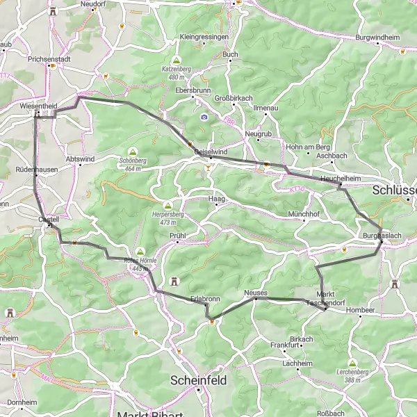
Covering a distance of 55 km, this road cycling route takes you through scenic landscapes and charming villages. With 621 meters of ascent, this route offers a moderate challenge for well-trained amateurs. Highlights along the way include the picturesque village of Markt Taschendorf, known for its historic charm, and Geiselwind, offering impressive views of the surrounding countryside. Scored at 4 and above, these highlights provide fascinating insights into the region's natural beauty and cultural heritage.
road
55 km
621 m
Chill
Route profile
Highlights on the route
0 km
0 km
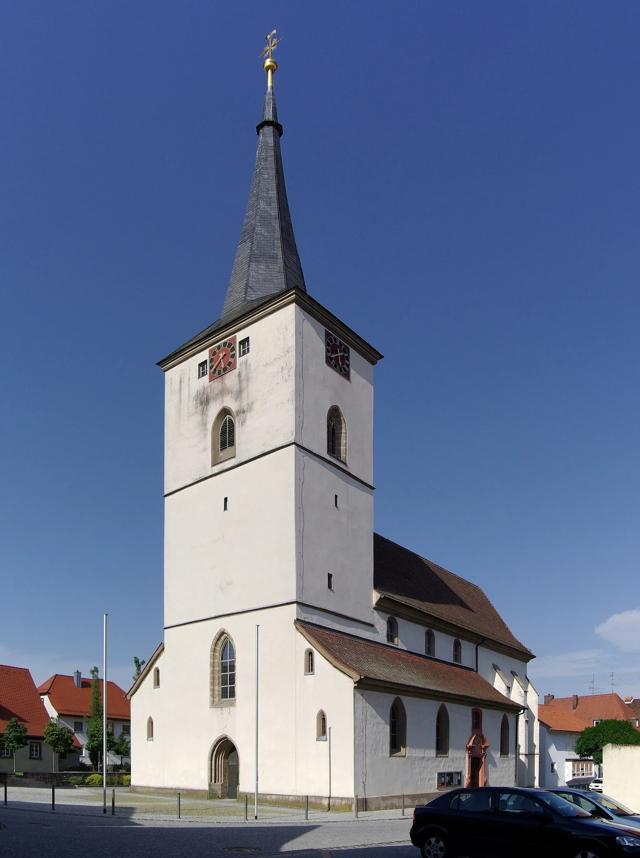
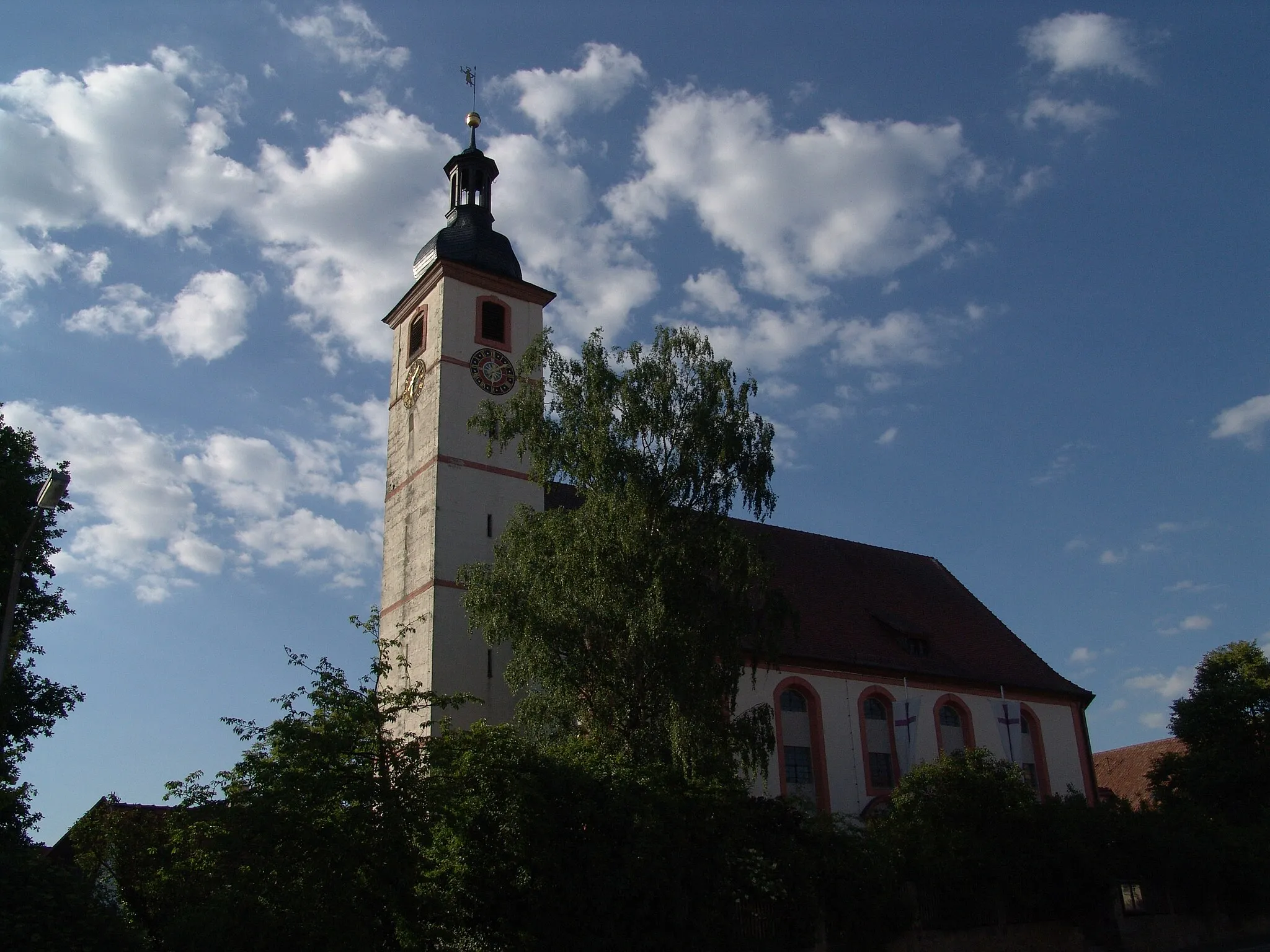
Start: Burghaslach Village centerBurghaslach: Discover the tranquil beauty of Burghaslach on your road or gravel cycling adventure.
Burghaslach is a locality in Germany, situated in the Mittelfranken region. From a cyclist's perspective, Burghaslach offers peaceful road and gravel cycling opportunities. The region provides picturesque countryside scenery with vineyards and charming villages. Cyclists can explore the Franconian Switzerland region, known for its natural beauty. Nearby, there's the famous climb of Schlüsselberg, offering a challenging ascent with panoramic views over the landscape.6 km
6 km
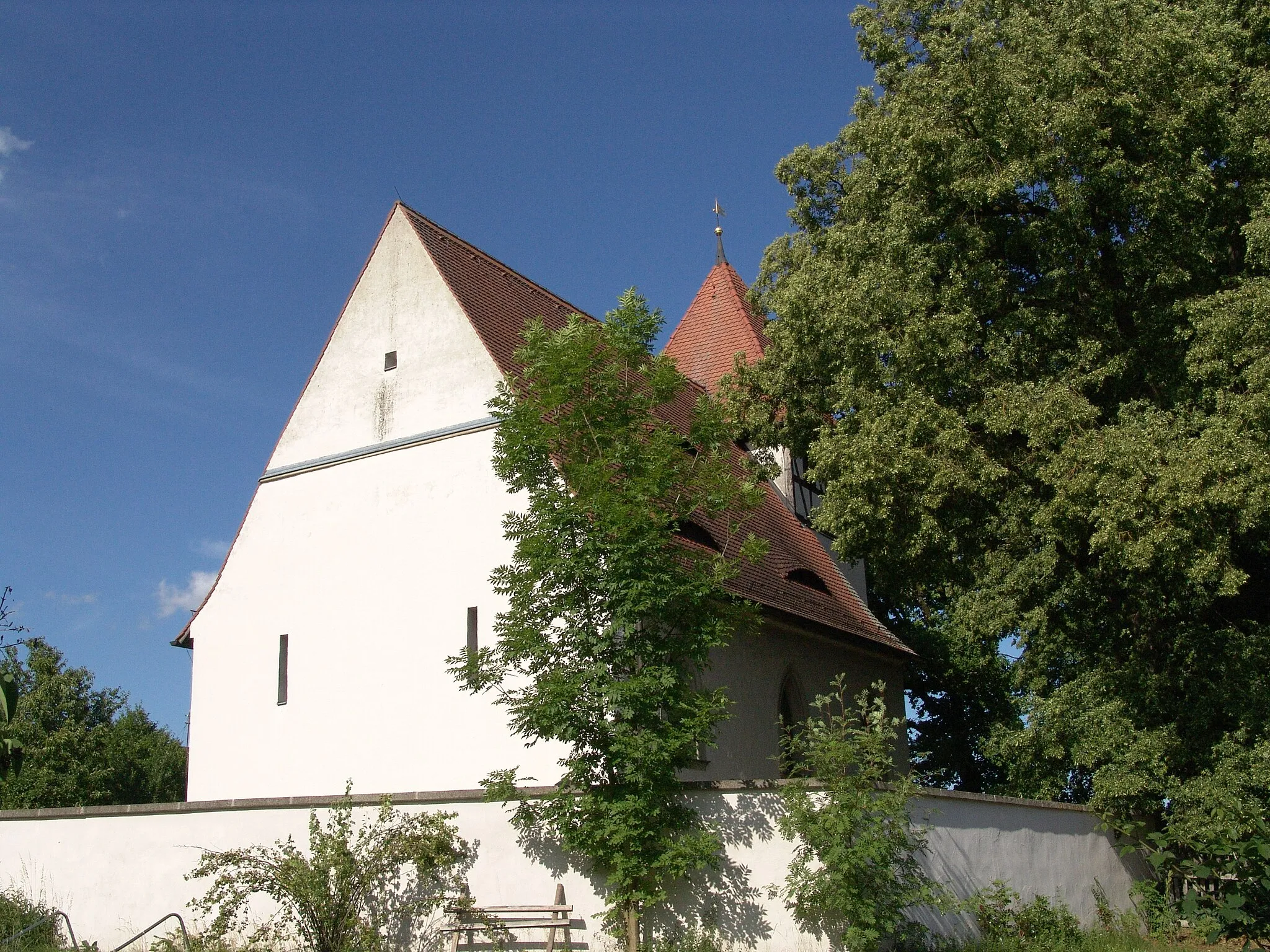
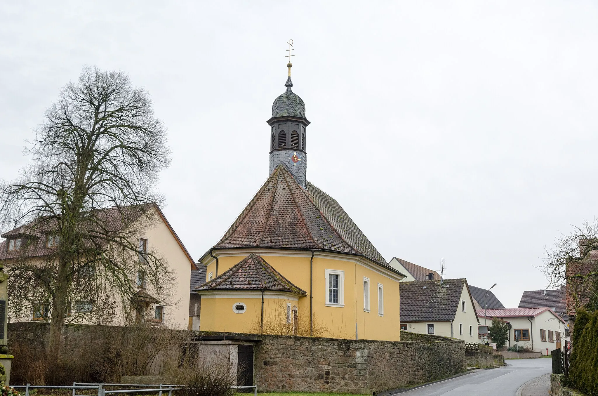
Markt TaschendorfVillageMarkt Taschendorf is a charming village with half-timbered houses and a rich history. Explore its narrow streets and hidden corners to discover the region's architectural and cultural heritage.
12 km
12 km
Seitenbucher Ranken456 mPeakSeitenbucher Ranken is a scenic viewpoint offering panoramic views of the picturesque landscapes of Mittelfranken. Stop by to rest and enjoy the peaceful ambiance.
24 km
24 km
Sandberg481 mPeakSandberg is a hill nestled amidst beautiful nature, offering excellent views of the surrounding countryside. Stop at the summit and admire the rolling hills and vineyards.
28 km
28 km
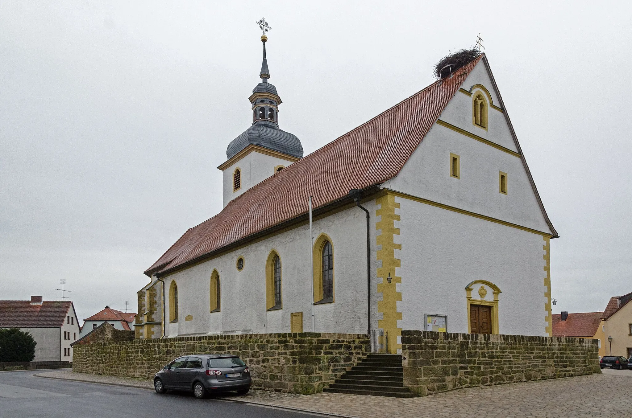
RüdenhausenVillageRüdenhausen is a quaint village known for its historic charm and idyllic setting amidst vineyards. Take a leisurely stroll through the streets, visit the local wineries, and indulge in a glass of renowned Franconian wine.
39 km
39 km
Aussichtspunkt GlösbergViewpointAussichtspunkt Glösberg is an observation deck offering stunning panoramic views of the wider region. Marvel at the patchwork of fields, vineyards, and forests that stretch as far as the eye can see.
43 km
43 km
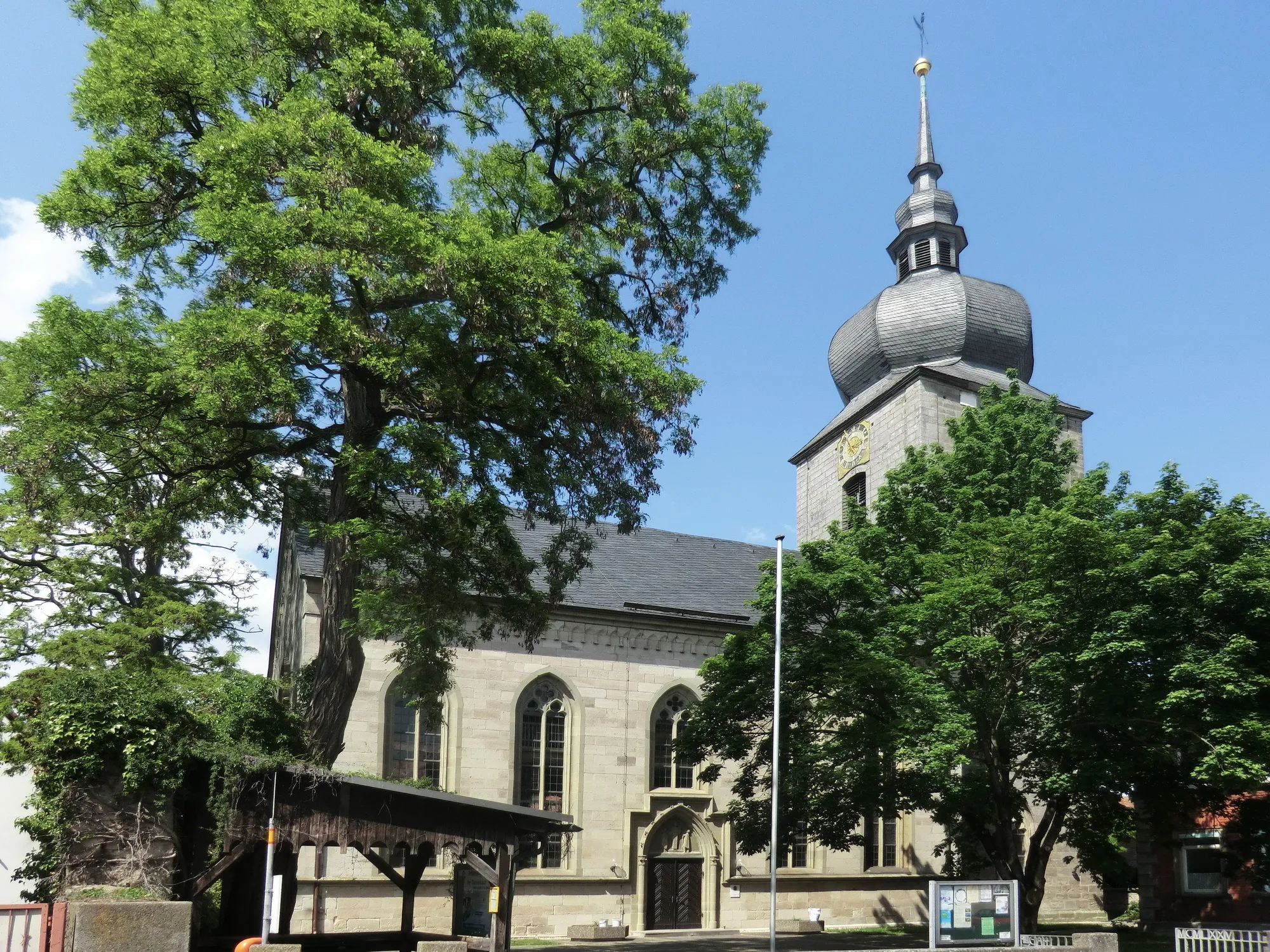
GeiselwindVillageGeiselwind is a charming village providing magnificent views of the surrounding countryside. Take a moment to appreciate the scenic beauty and capture some memorable photos.
50 km
50 km
HeuchelheimVillageHeuchelheim serves as a starting or ending point for several cycling routes and offers a peaceful ambiance. Refresh at one of the local cafes, grab a refreshing drink, and take in the laid-back atmosphere.
55 km
55 km
Finish: Burghaslach Village centerBurghaslach: Discover the tranquil beauty of Burghaslach on your road or gravel cycling adventure.
Cycling routes from Burghaslach:
The Gravel Hills Loop Discovering Gravel Delights Bridging Rural Beauty Burghaslach Loop Burghaslach Adventure Uncovering Hidden Gems Exploring Enchanting Landscapes Wachenroth and Röttenbach Loop Cycling through the Traversing Villages Burghaslach Road Cycling Route Wachenroth and the Surrounding Villages Rural Beauty and Serenity
Cycling routes nearby: