Gravel Adventure to Gauchsmühle and Hoher Bühl
A gravel cycling route starting from Ruckersdorf
Off-road adventure to scenic Gauchsmühle and high point of Hoher Bühl
Map
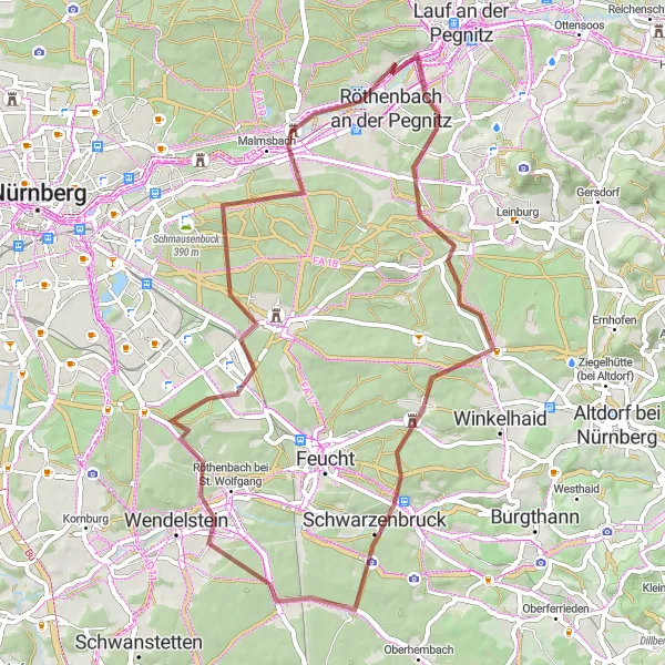
Embark on a rugged gravel adventure starting near Rückersdorf, taking you through picturesque landscapes and up to breathtaking viewpoints. This challenging 58-km route with 465 meters of ascent will test your endurance and bike handling skills. Experience the peaceful serenity of Gauchsmühle, a historic mill located 19 km into the route. Push further and conquer the Dreibrüderberg at the 20 km mark, offering a panoramic view of the surrounding hills. The highlight of the ride comes at 39 km with the ascent to the summit of Hoher Bühl, providing majestic vistas across the region. We recommend this route to gravel enthusiasts seeking thrilling off-road experiences.
gravel
58 km
465 m
Tough
Route profile
Highlights on the route
0 km
0 km
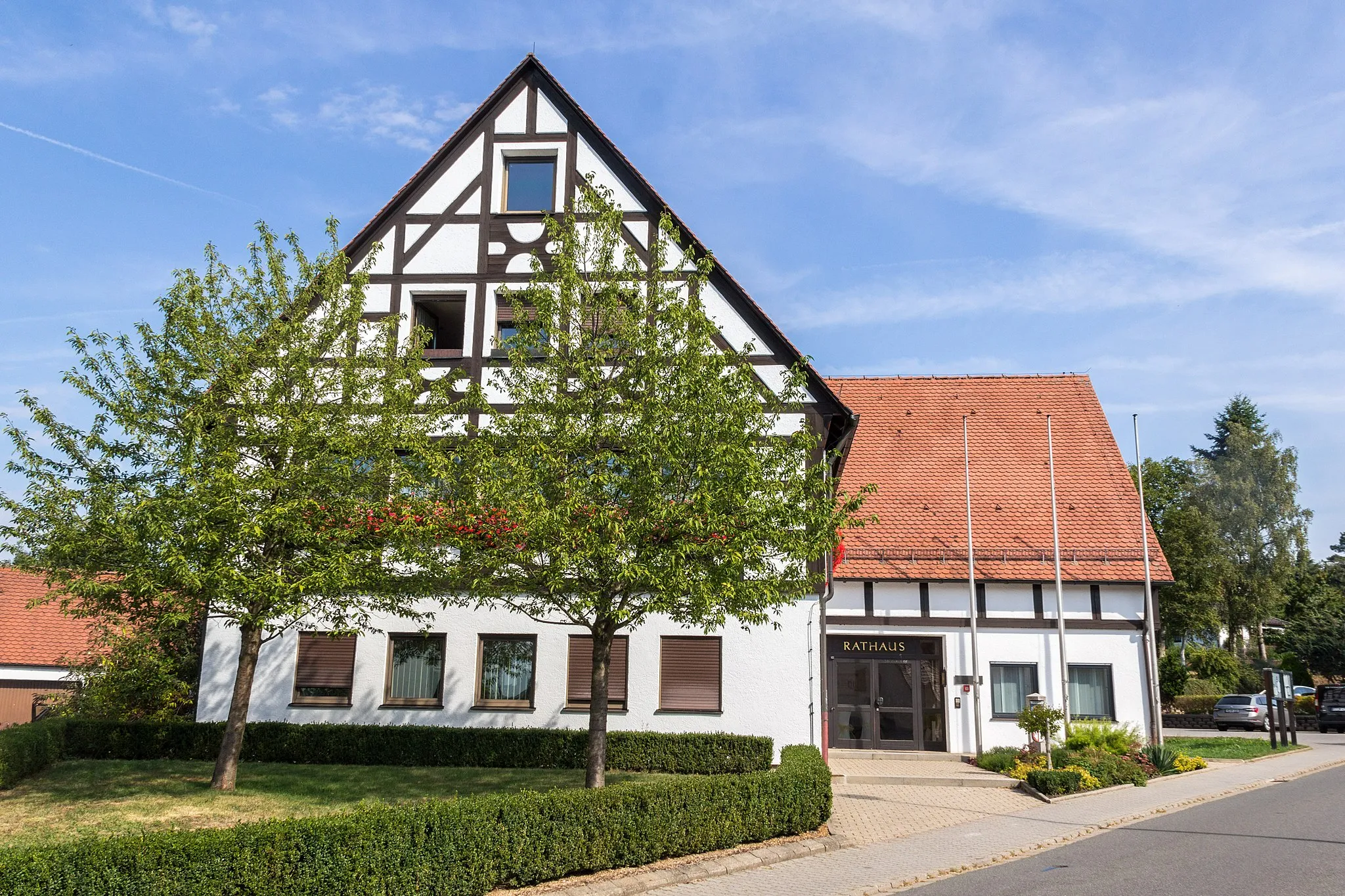
Start: Rückersdorf Village centerRückersdorf: Exploring the scenic Franconian Switzerland and tackling the Round Franconian Switzerland route.
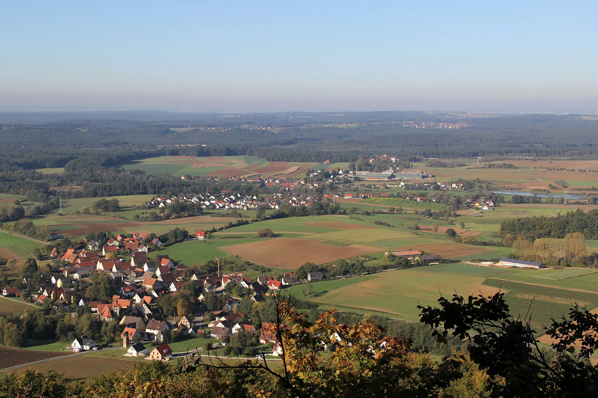
Rückersdorf, located in Mittelfranken, Germany, offers diverse cycling routes for road and gravel cyclists. The locality features rolling hills, picturesque landscapes, and charming villages, providing varied scenery throughout the rides. Rückersdorf is surrounded by the Franconian Switzerland region, offering challenging climbs and rewarding descents. Cyclists can explore the famous Round Franconian Switzerland cycling route, known for its stunning vistas and geological formations. With its combination of scenic landscapes and cycling opportunities, Rückersdorf is an excellent destination for cyclists of all levels.19 km
19 km
GauchsmühleHamletVisit Gauchsmühle, a preserved mill along the route, and immerse yourself in its rich history while enjoying the idyllic landscapes.
20 km
20 km
Dreibrüderberg430 mPeakClimb the Dreibrüderberg and savor the rewarding views of the Mittelfranken region.
39 km
39 km
Hoher Bühl408 mPeakConquer the summit of Hoher Bühl and be rewarded with stunning panoramic vistas that stretch as far as the eye can see.
40 km
40 km
MoorenbrunnSub-urbPass through Moorenbrunn, a charming village known for its quaint atmosphere and photogenic surroundings.
54 km
54 km
BehringersdorfSub-urbExperience the historic charm of Behringersdorf, a town with centuries-old architecture and vibrant community life.
57 km
57 km
Bug356 mPeakEnjoy Bug, a hidden gem situated along the route, offering beautiful natural scenery and a peaceful ambiance.
58 km
58 km
Finish: Rückersdorf Village centerRückersdorf: Exploring the scenic Franconian Switzerland and tackling the Round Franconian Switzerland route.
Cycling routes from Ruckersdorf:
Hohenzollern Bridge Loop Scenic Journey through Lauf and Häuselsteiner Höhe Panoramic Road Tour Historical Road Journey Gravel Adventure in the Wilderness Road Cycling Adventure to Altdorf and Oberhembach Ultimate Gravel Challenge: Rutschen and Happurg Gravel Adventure to Gauchsmühle and Hoher Bühl Enchanting Gravel Getaway Epic Off-Road Expedition to Neumarkt and Eulenhof Rückersdorf - Lauf an der Pegnitz - Henfenfeld - Reschenberg - Raschbach - Forsthaus - Grünthal - Rückersdorf Rückersdorf - Ottensoos - Michelsberg - Weigendorf - Trollberg - Illschwang - Ritzerberg - Poppberg - Kauerheim - Raschbach - Reuther Berg - Rückersdorf
Cycling routes nearby: