Hohenzollern Bridge Loop
A road cycling route starting from Ruckersdorf
Explore the scenic countryside and historical landmarks along this road cycling route near Rückersdorf.
Map
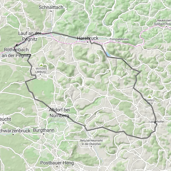
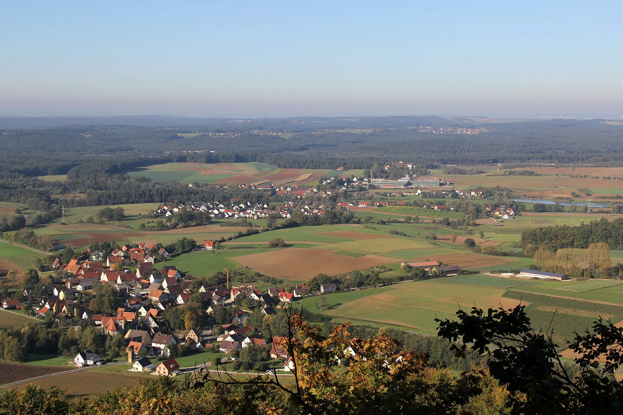
Glide through picturesque landscapes and soak in the history of the region as you cycle this scenic road route near Rückersdorf. With a total distance of 85 km and an ascent of 797 m, this route offers a challenging yet rewarding experience. The Hohenzollern Bridge Loop takes you through charming towns such as Reichenschwand, Alfeld, and Röthenbach an der Pegnitz. Don't miss the opportunity to stop at highlights like Schweineberg and Bug, which offer stunning views and interesting stories. This route is suited for well-trained amateurs and provides a memorable cycling adventure.
road
85 km
797 m
Tough
Route profile
Highlights on the route
0 km
0 km
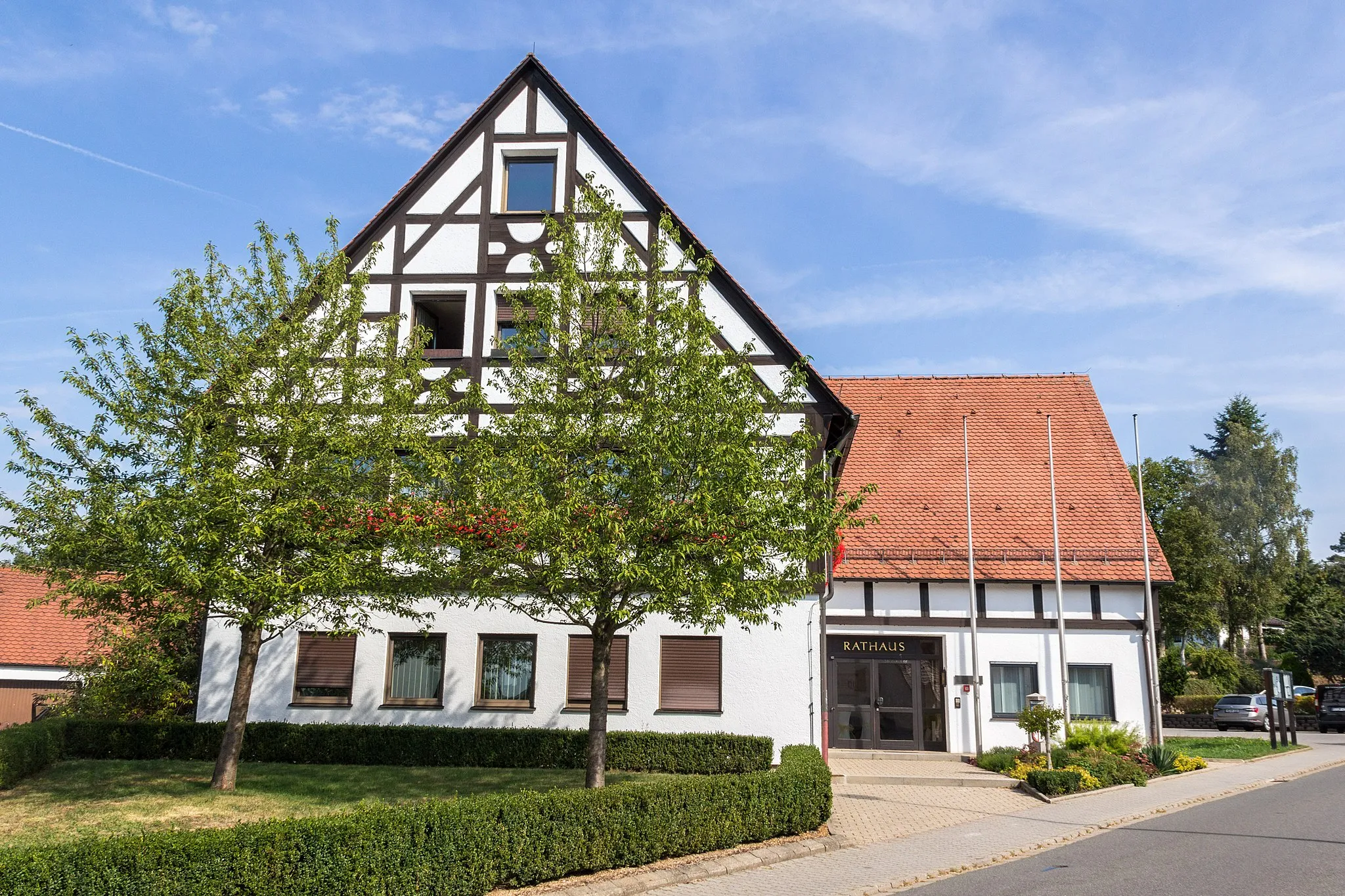
Start: Rückersdorf Village centerRückersdorf: Exploring the scenic Franconian Switzerland and tackling the Round Franconian Switzerland route.
Rückersdorf, located in Mittelfranken, Germany, offers diverse cycling routes for road and gravel cyclists. The locality features rolling hills, picturesque landscapes, and charming villages, providing varied scenery throughout the rides. Rückersdorf is surrounded by the Franconian Switzerland region, offering challenging climbs and rewarding descents. Cyclists can explore the famous Round Franconian Switzerland cycling route, known for its stunning vistas and geological formations. With its combination of scenic landscapes and cycling opportunities, Rückersdorf is an excellent destination for cyclists of all levels.10 km
10 km
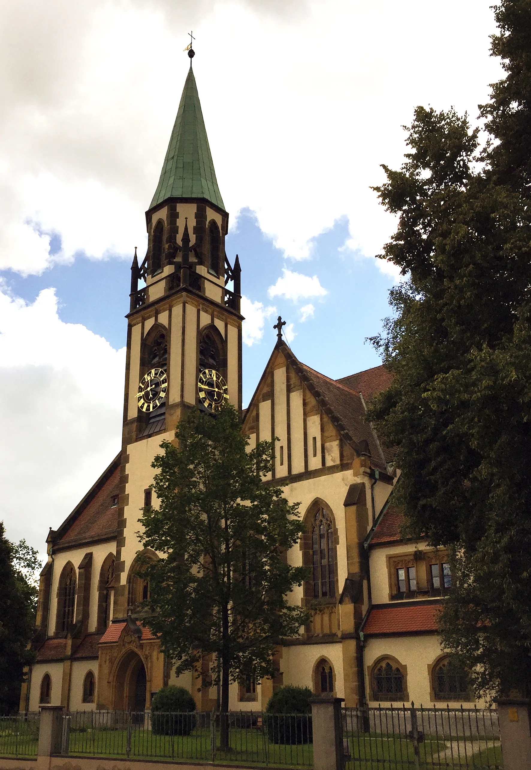
ReichenschwandVillageReichenschwand offers a quaint town center with half-timbered houses.
15 km
15 km
Michelsberg435 mPeak ViewpointClimb up Michelsberg and witness panoramic views of the surrounding countryside.
31 km
31 km
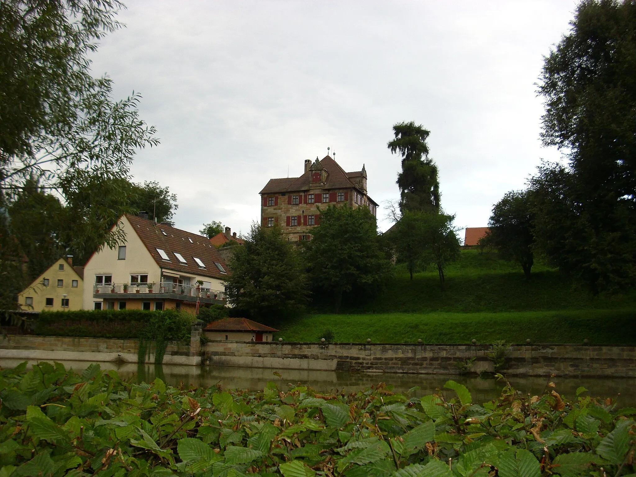
AlfeldVillageAlfeld Castle, a 12th-century fortress, is an impressive sight along the route.
36 km
36 km
Augsberg593 mPeakVisit Augsberg and explore its beautiful gardens and historic architecture.
45 km
45 km
TrautmannshofenVillageTrautmannshofen is known for its traditional Franconian half-timbered houses.
50 km
50 km
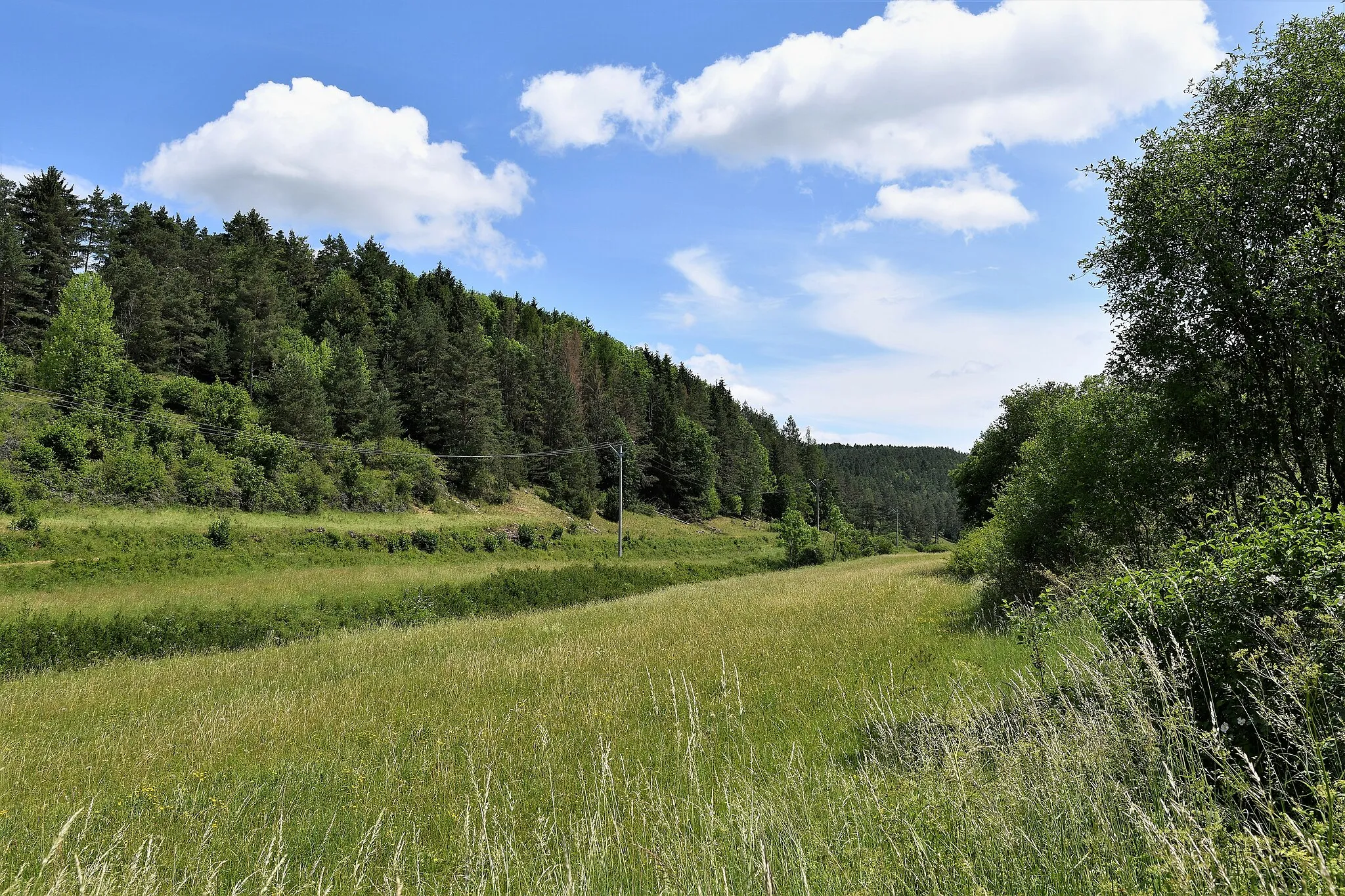
Schweineberg581 mPeakAt Schweineberg, you'll enjoy breathtaking views over the rolling hills.
75 km
75 km
HeiligenmühleHamletStop by Heiligenmühle, a charming mill nestled along the route.
84 km
84 km
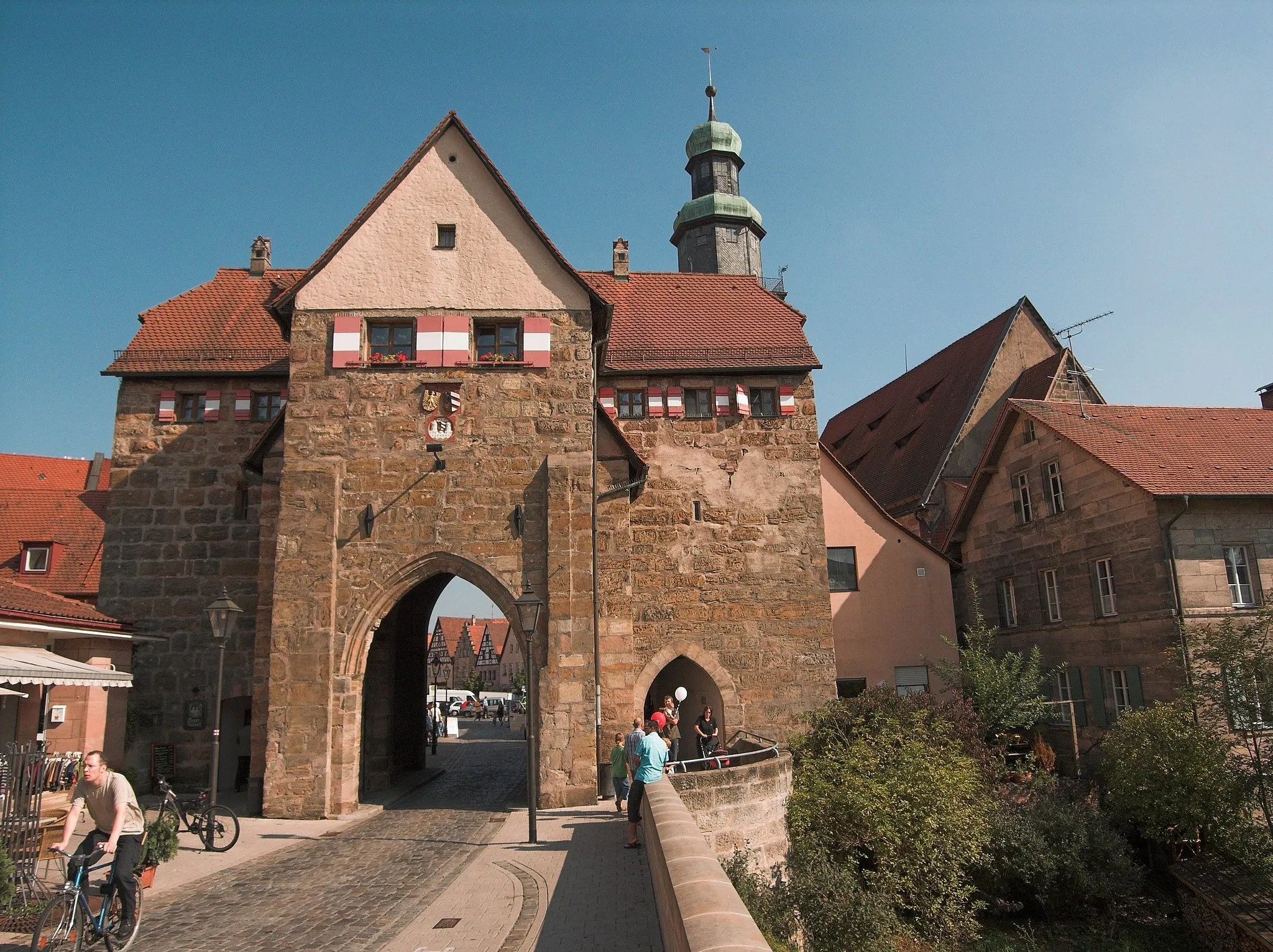
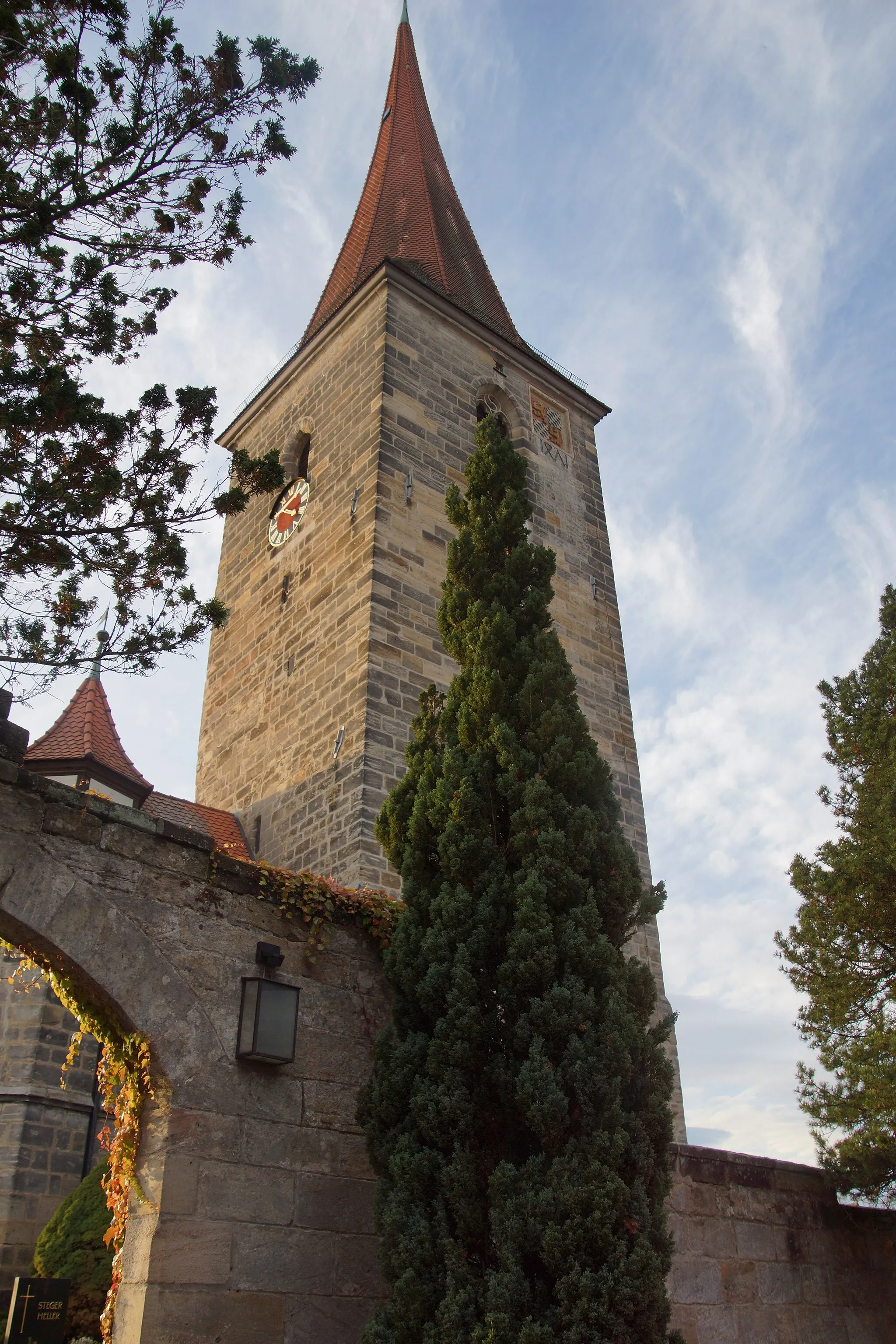
Röthenbach an der PegnitzTownRöthenbach an der Pegnitz is famous for its medieval castle and charming old town.
84 km
84 km
Bug356 mPeakBug offers a peaceful nature spot with tranquil surroundings.
85 km
85 km
Finish: Rückersdorf Village centerRückersdorf: Exploring the scenic Franconian Switzerland and tackling the Round Franconian Switzerland route.
Cycling routes from Ruckersdorf:
Hohenzollern Bridge Loop Scenic Journey through Lauf and Häuselsteiner Höhe Panoramic Road Tour Historical Road Journey Gravel Adventure in the Wilderness Road Cycling Adventure to Altdorf and Oberhembach Ultimate Gravel Challenge: Rutschen and Happurg Gravel Adventure to Gauchsmühle and Hoher Bühl Enchanting Gravel Getaway Epic Off-Road Expedition to Neumarkt and Eulenhof Rückersdorf - Lauf an der Pegnitz - Henfenfeld - Reschenberg - Raschbach - Forsthaus - Grünthal - Rückersdorf Rückersdorf - Ottensoos - Michelsberg - Weigendorf - Trollberg - Illschwang - Ritzerberg - Poppberg - Kauerheim - Raschbach - Reuther Berg - Rückersdorf
Cycling routes nearby: