![Cover image](https://images.tarmacs.app/cycling-routes/photos/germany/mittelfranken/2893201410/raschbach-1.webp)
Rückersdorf - Ottensoos - Michelsberg - Weigendorf - Trollberg - Illschwang - Ritzerberg - Poppberg - Kauerheim - Raschbach - Reuther Berg - Rückersdorf
A gravel cycling route starting from Ruckersdorf
A challenging gravel route through Mittelfranken with stunning views and interesting highlights.
![Map miniature of "Rückersdorf - Ottensoos - Michelsberg - Weigendorf - Trollberg - Illschwang - Ritzerberg - Poppberg - Kauerheim - Raschbach - Reuther Berg - Rückersdorf" cycling inspiration in Mittelfranken, Germany. Generated by Tarmacs.app cycling route planner](https://images.tarmacs.app/cycling-routes/routemaps/600/germany/mittelfranken/ruckersdorf/gravel/216050.webp)
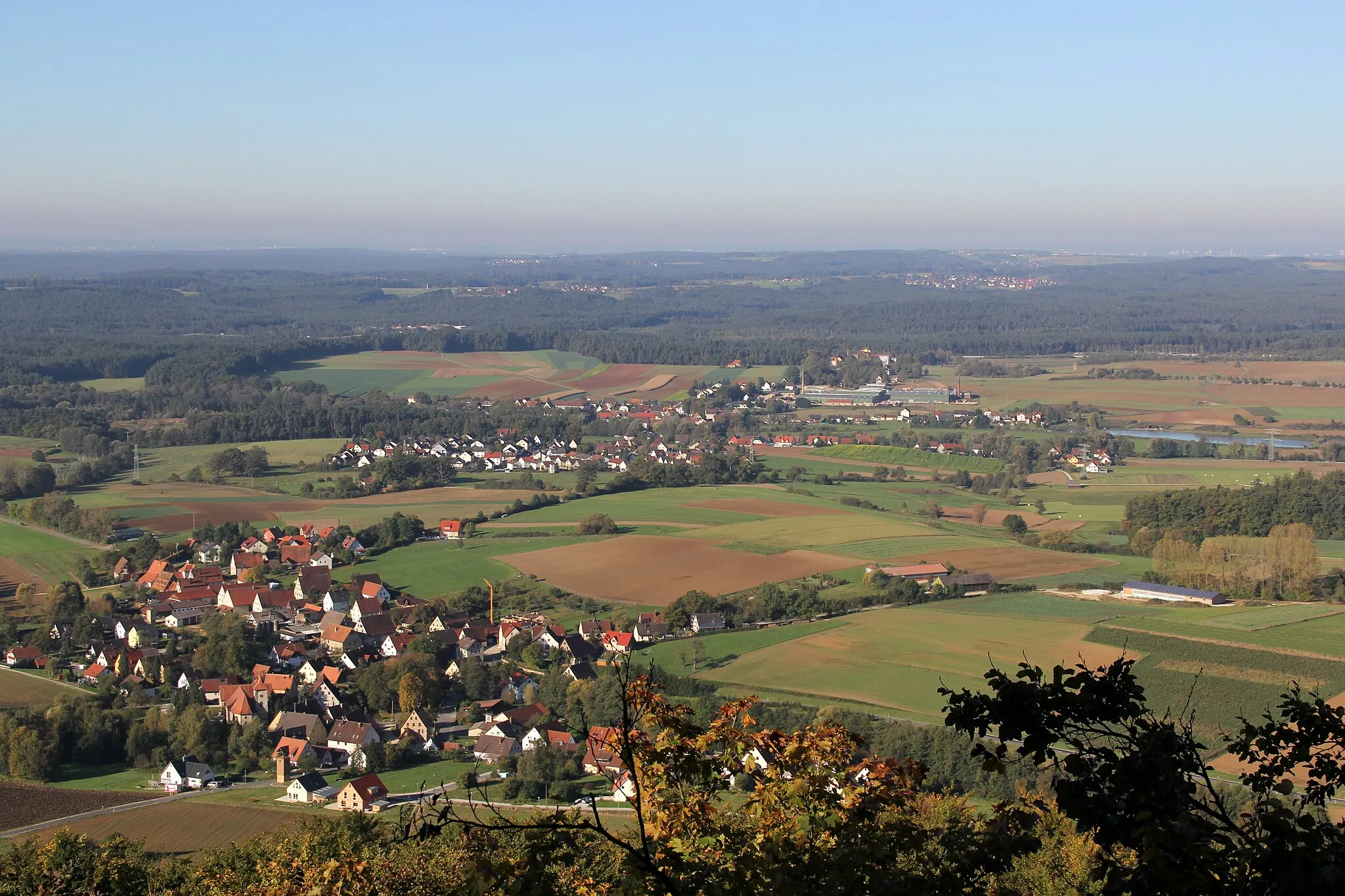
This round-trip cycling route starting near Rückersdorf takes you through the beautiful landscapes of Mittelfranken. With a total distance of 94 kilometers and an ascent of 1300 meters, this gravel route offers a challenge for experienced cyclists. Highlights along the route include Ottensoos, known for its medieval architecture, Michelsberg with its panoramic views, and Trollberg, famous for its unique rock formations. Other notable highlights include Illschwang, where you can visit the historic Illschwang Castle, and Kauerheim, a picturesque village with traditional Bavarian charm. The route also passes by Raschbach, a small town surrounded by lush green forests, and ends with the ascent of Reuther Berg, offering a thrilling finale. Overall, this route provides a mix of natural beauty and cultural attractions, making it a fantastic choice for cyclists looking for adventure in Mittelfranken.
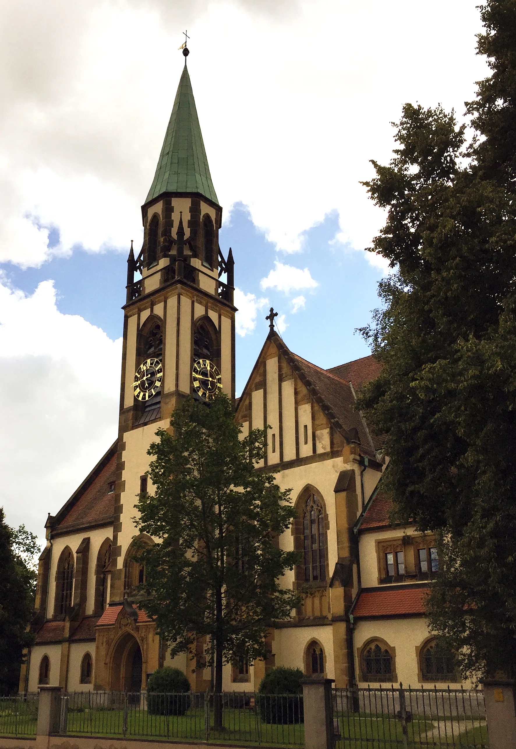
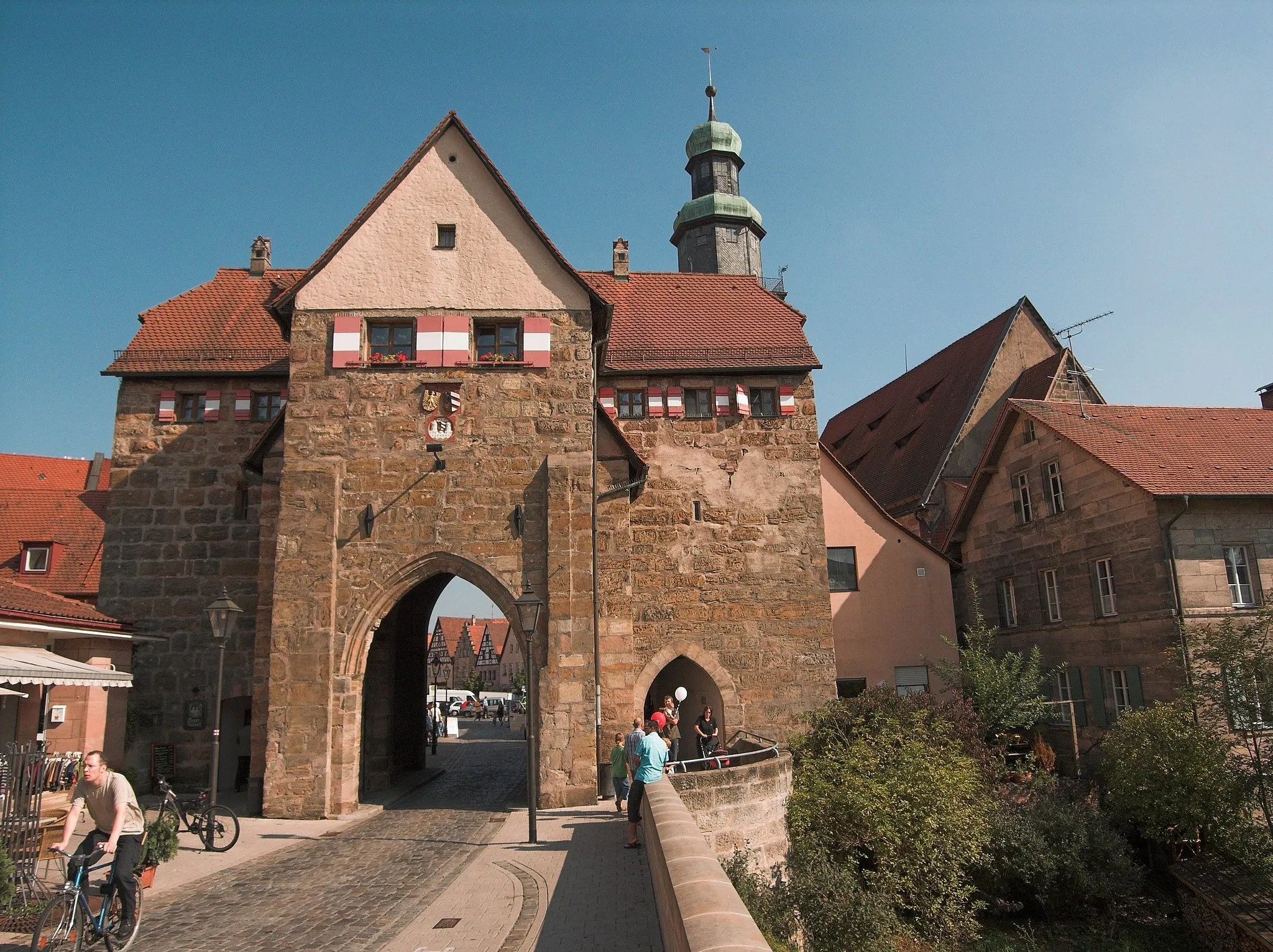
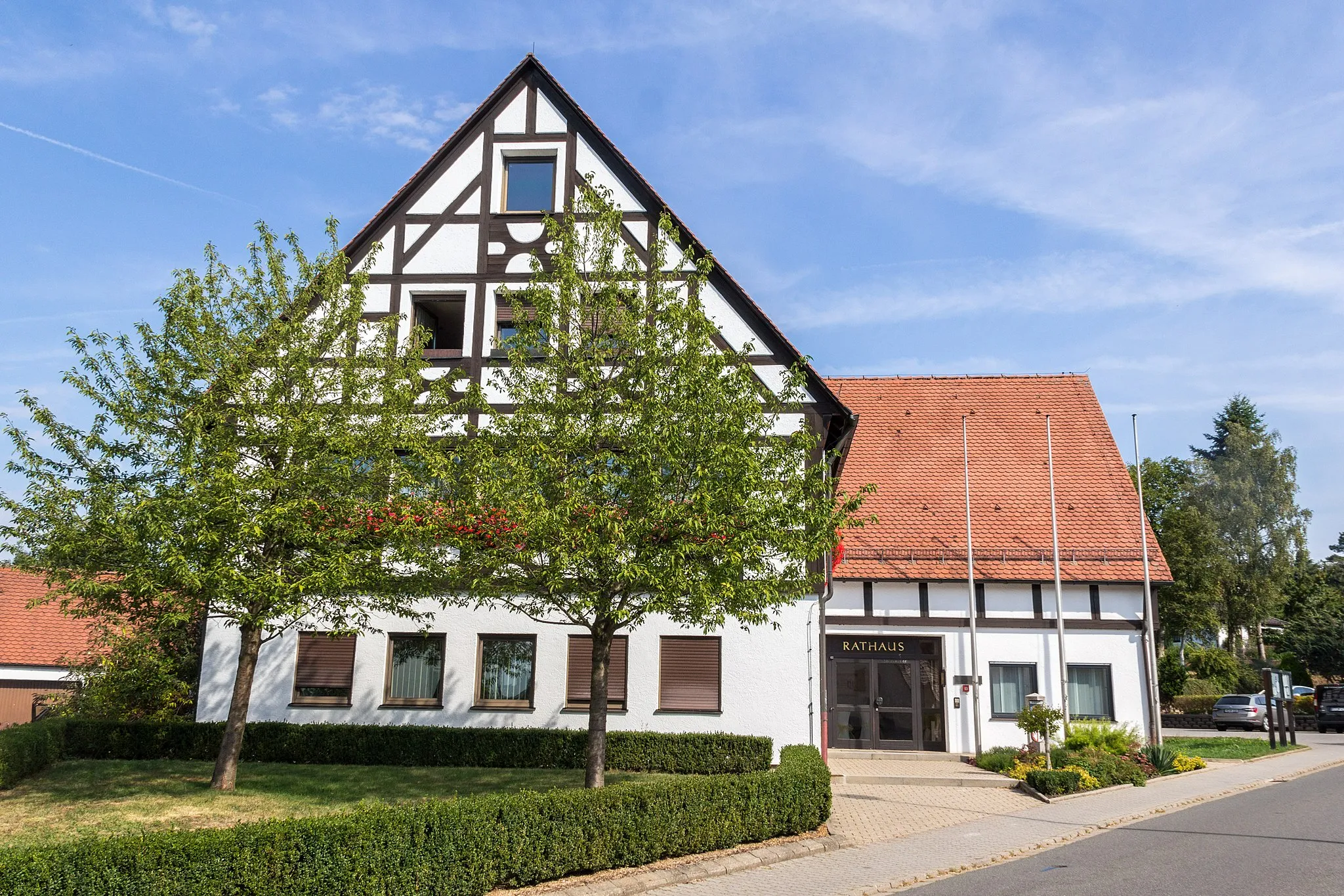
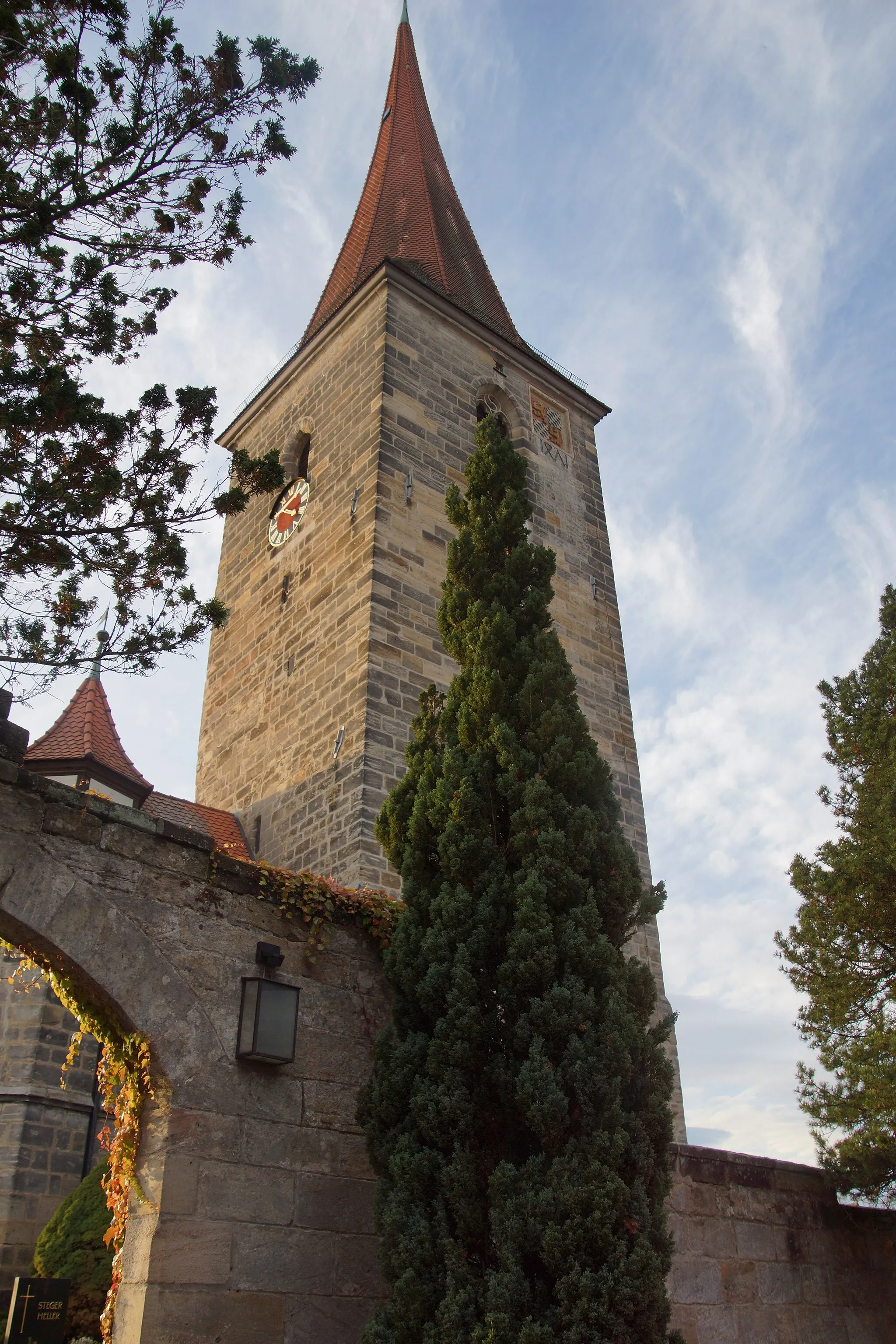
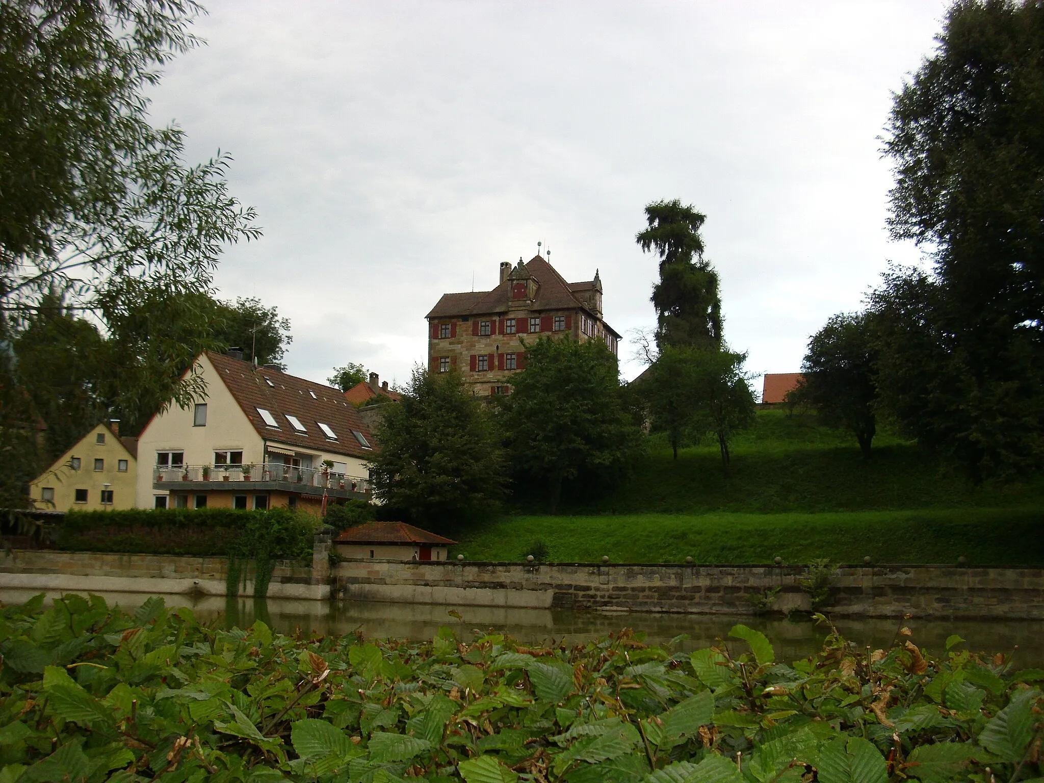
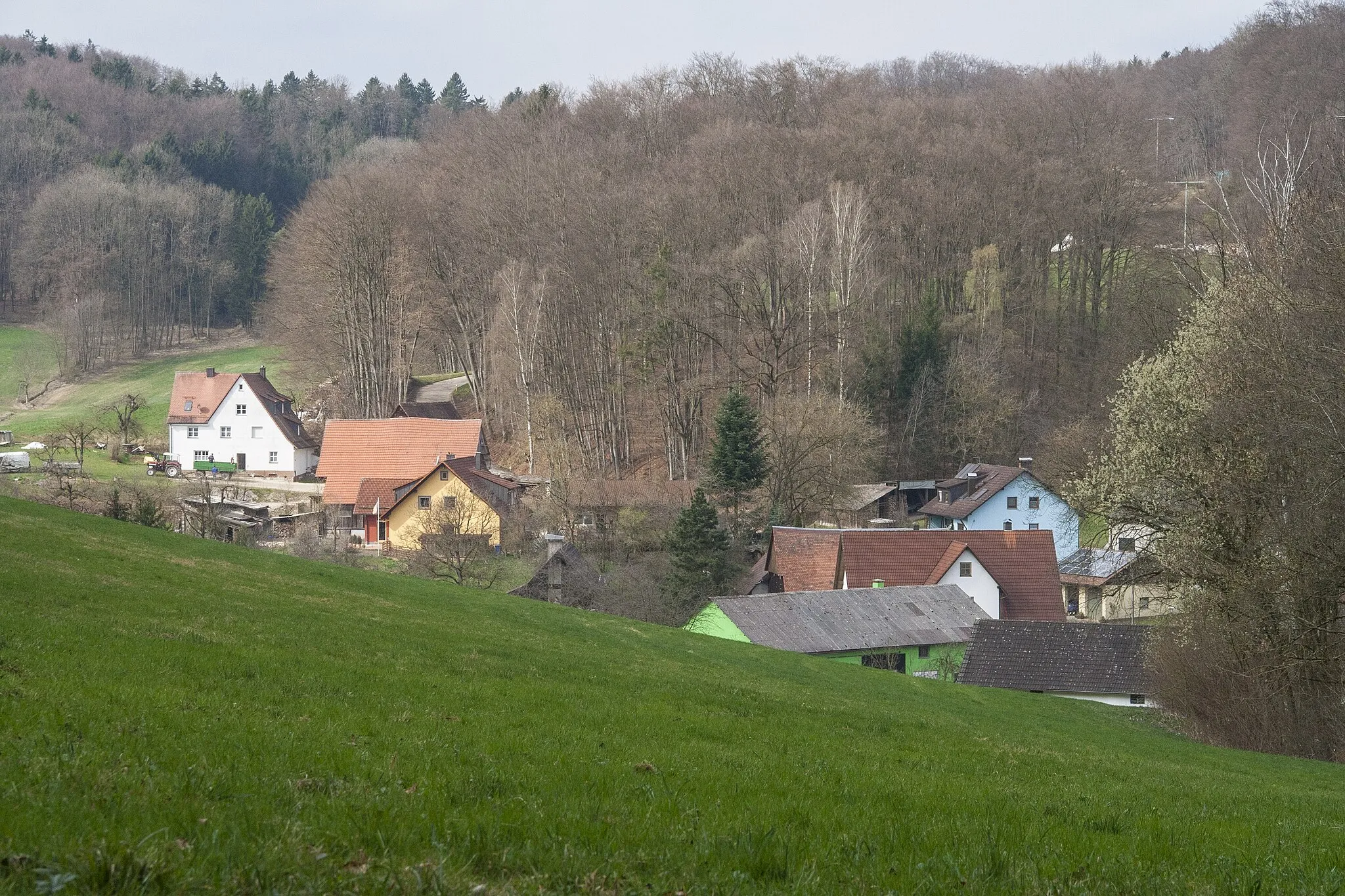
Highlights on the route
Cycling routes from Ruckersdorf:
Cycling routes nearby:
![Image of Röthenbach an der Pegnitz](https://images.tarmacs.app/cycling-routes/covers/germany/mittelfranken/rothenbach-an-der-pegnitz-5.webp)
![Image of Lauf an der Pegnitz](https://images.tarmacs.app/cycling-routes/covers/germany/mittelfranken/lauf-an-der-pegnitz-5.webp)
![Image of Schwaig](https://images.tarmacs.app/cycling-routes/covers/germany/mittelfranken/schwaig-5.webp)
![Image of Neunkirchen am Sand](https://images.tarmacs.app/cycling-routes/covers/germany/mittelfranken/neunkirchen-am-sand-5.webp)
![Image of Leinburg](https://images.tarmacs.app/cycling-routes/covers/germany/mittelfranken/leinburg-5.webp)
![Image of Ottensoos](https://images.tarmacs.app/cycling-routes/covers/germany/mittelfranken/ottensoos-5.webp)
![Image of Heroldsberg](https://images.tarmacs.app/cycling-routes/covers/germany/mittelfranken/heroldsberg-5.webp)
![Image of Reichenschwand](https://images.tarmacs.app/cycling-routes/covers/germany/mittelfranken/reichenschwand-5.webp)
![Image of Schnaittach](https://images.tarmacs.app/cycling-routes/covers/germany/mittelfranken/schnaittach-4.webp)