Historical Road Journey
A road cycling route starting from Ruckersdorf
Embark on a historical road journey passing through charming towns and majestic landscapes near Rückersdorf.
Map
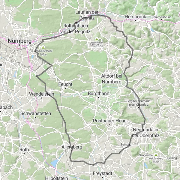
Embark on a historical road journey through the enchanting landscapes near Rückersdorf. This 108 km route with an ascent of 841 m takes you on a memorable journey through picture-perfect sceneries and picturesque towns. Along the way, stop at Engelthal, where you can marvel at its stunning monastery. Visit Berg bei Neumarkt in der Oberpfalz and its medieval castle, and enjoy panoramic views from Möninger Berg. Finish your ride with a visit to Bug, where you can unwind in the tranquil surroundings. This challenging route promises a mix of history, natural beauty, and memorable road cycling.
road
108 km
841 m
Tough
Route profile
Highlights on the route
0 km
0 km
Start: Rückersdorf Village centerRückersdorf: Exploring the scenic Franconian Switzerland and tackling the Round Franconian Switzerland route.
Rückersdorf, located in Mittelfranken, Germany, offers diverse cycling routes for road and gravel cyclists. The locality features rolling hills, picturesque landscapes, and charming villages, providing varied scenery throughout the rides. Rückersdorf is surrounded by the Franconian Switzerland region, offering challenging climbs and rewarding descents. Cyclists can explore the famous Round Franconian Switzerland cycling route, known for its stunning vistas and geological formations. With its combination of scenic landscapes and cycling opportunities, Rückersdorf is an excellent destination for cyclists of all levels.15 km
15 km
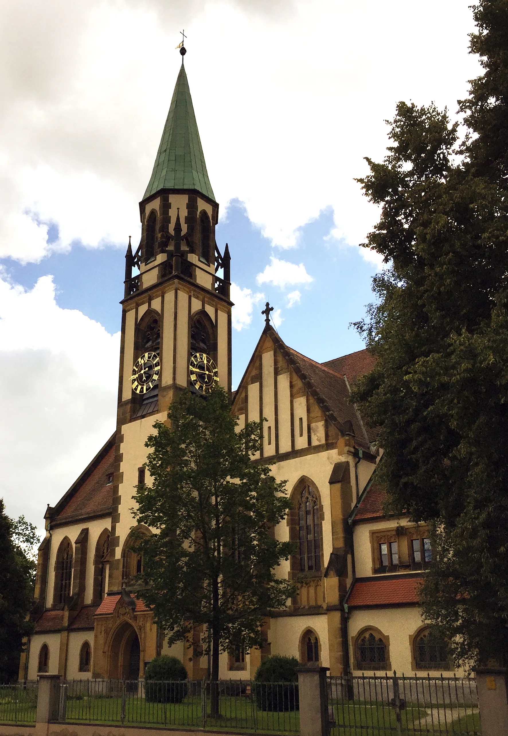
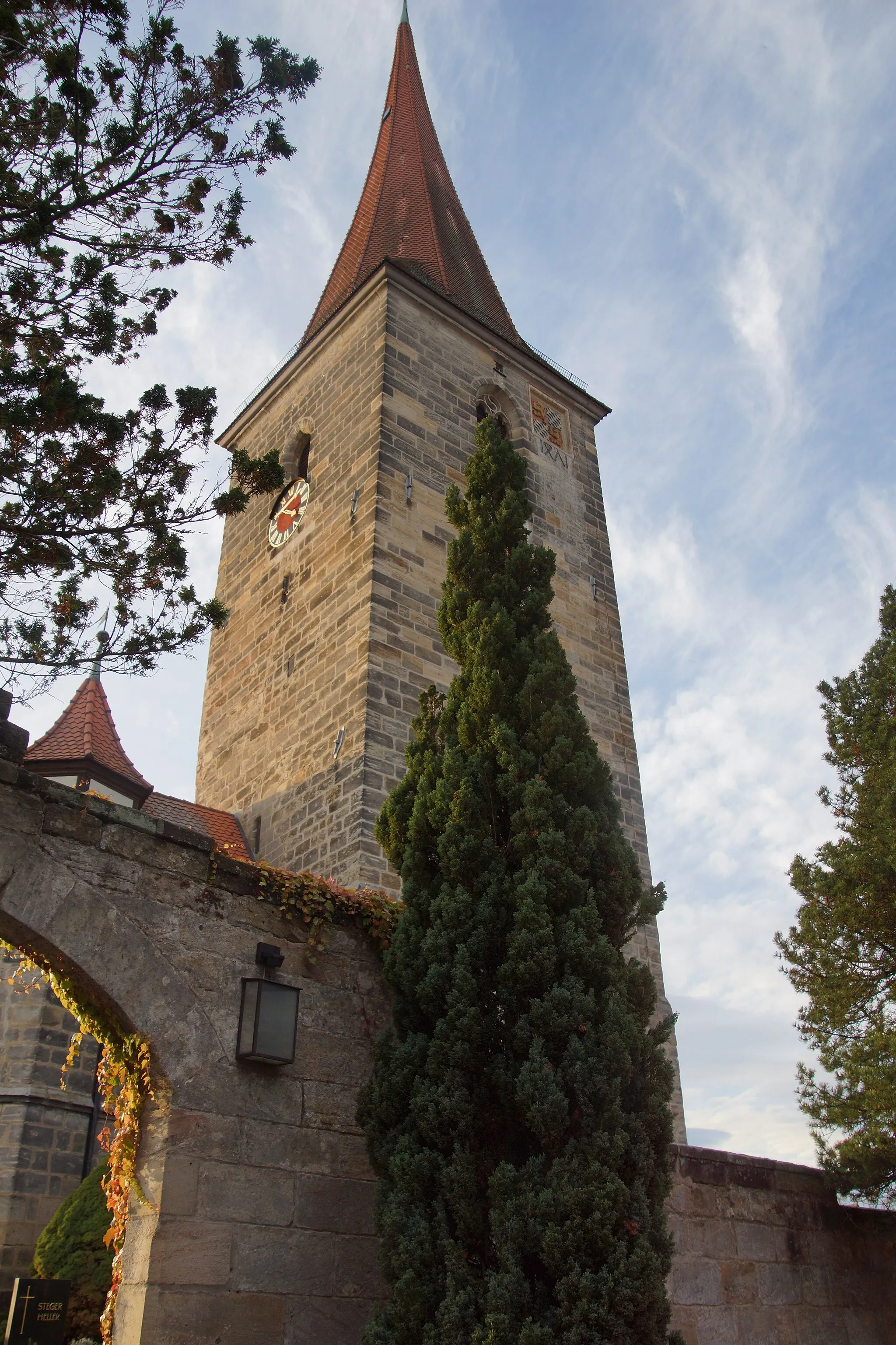
EngelthalVillageEngelthal Monastery, a hidden gem, features beautiful architecture dating back to the 12th century.
35 km
35 km
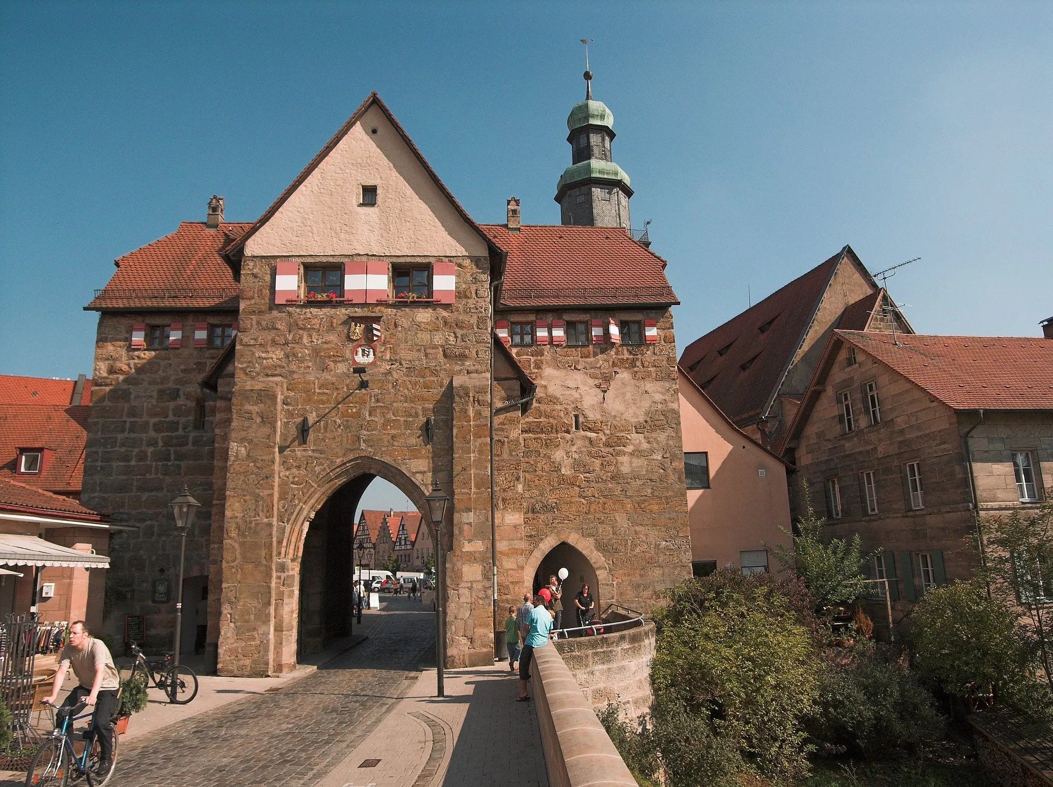
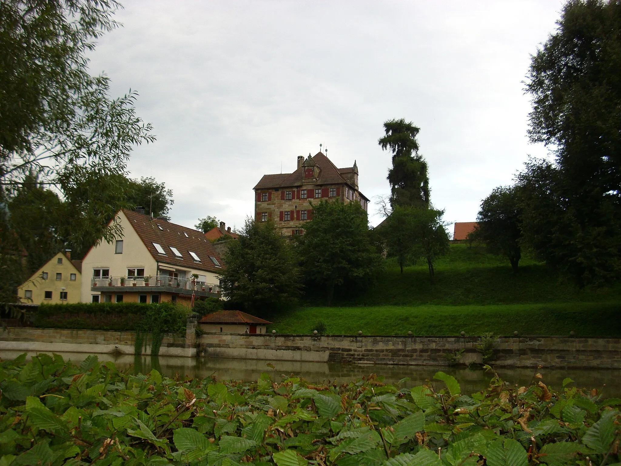
Berg bei Neumarkt in der OberpfalzVillageBerg Castle in Neumarkt in der Oberpfalz offers a fascinating glimpse into medieval history.
48 km
48 km
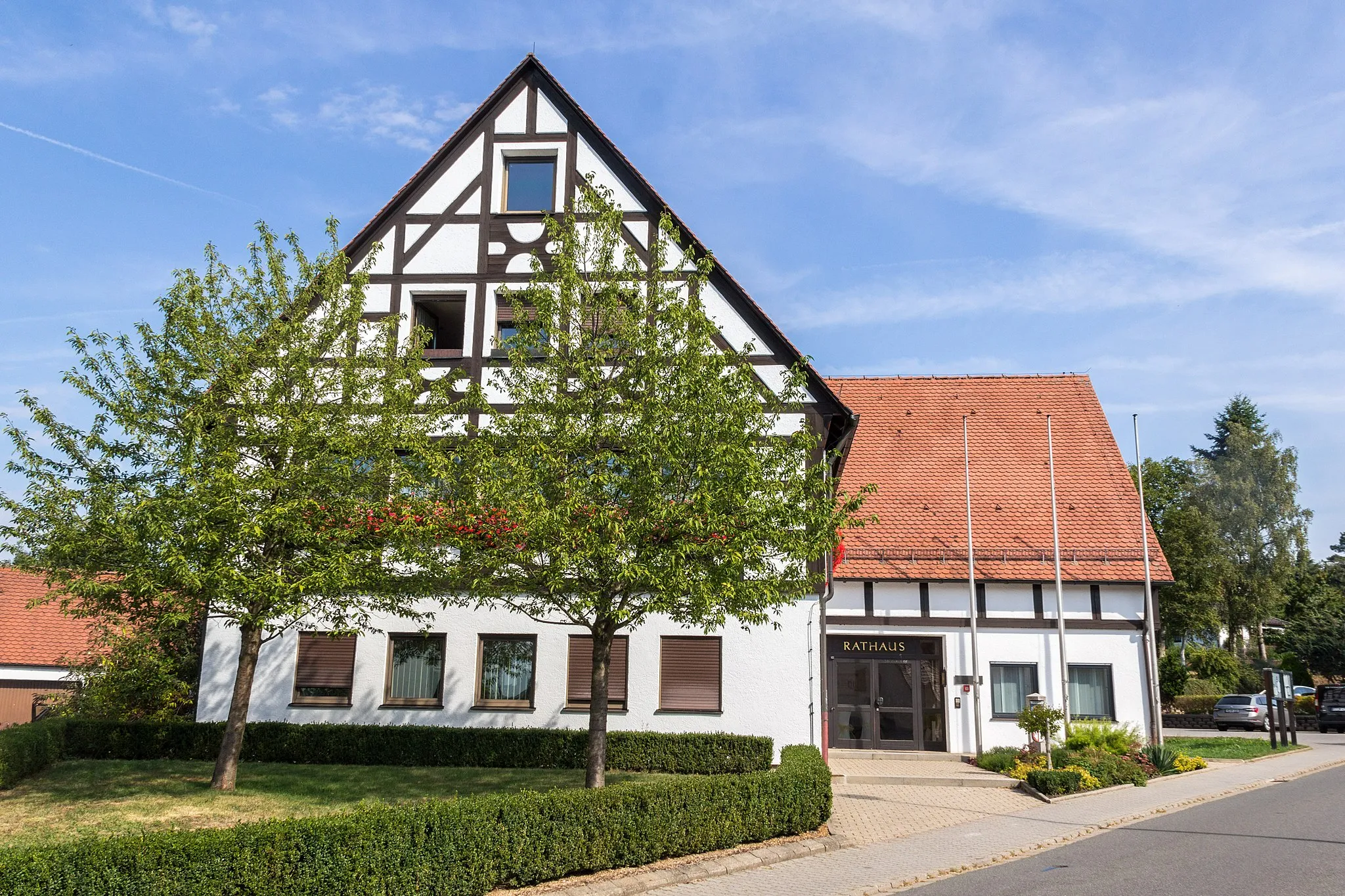
BerngauVillageBerngau boasts charming half-timbered houses and picturesque landscapes.
56 km
56 km
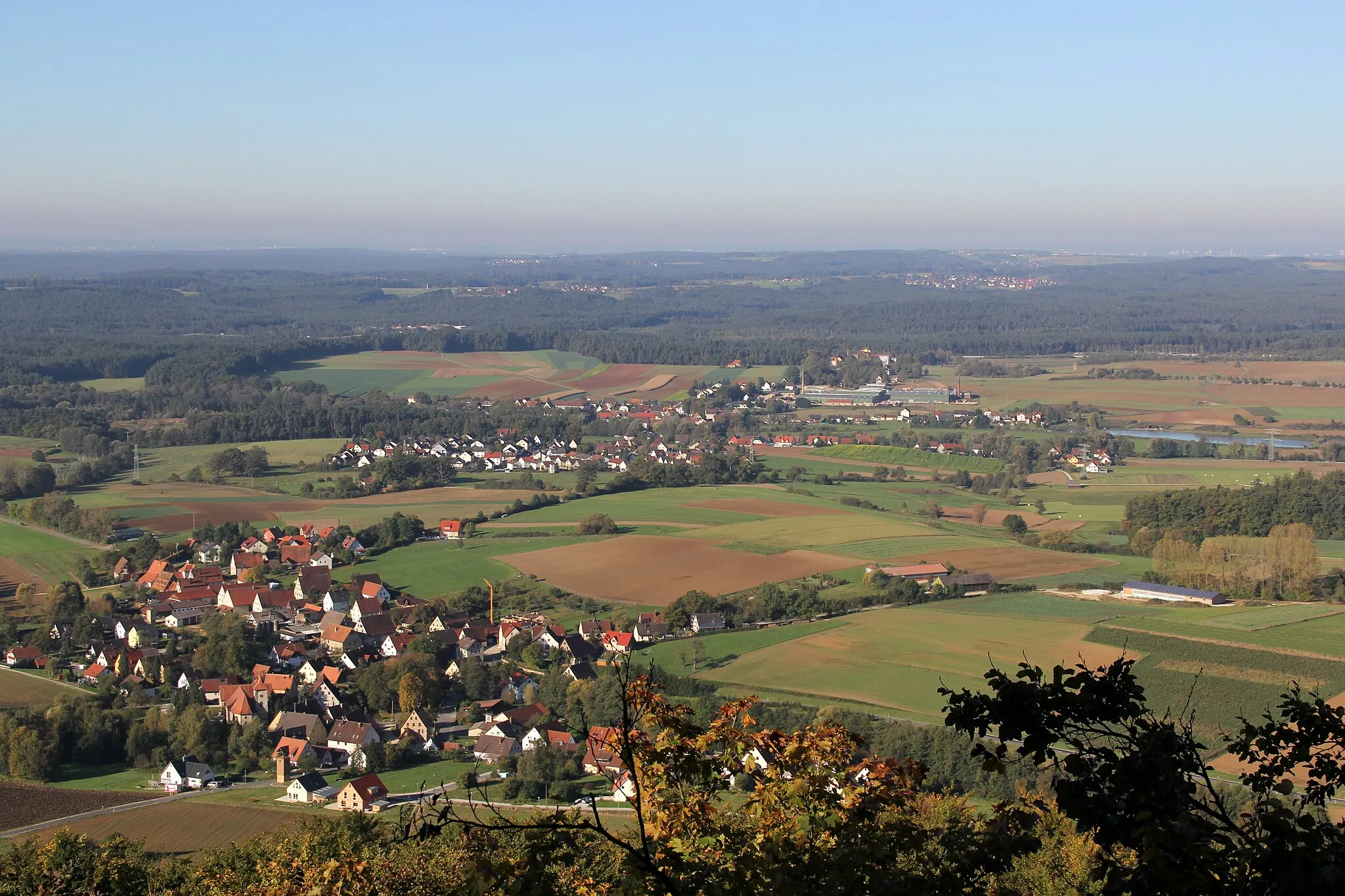
Möninger Berg527 mPeakAt Möninger Berg, indulge in sweeping views over the lush green countryside.
66 km
66 km
AllersbergTownClimb up Allersberg for stunning vistas stretching across the region.
76 km
76 km
SperbersloheVillageSperberslohe treats you with scenic views and peaceful surroundings.
85 km
85 km
Eichenbühl362 mPeakImmerse yourself in the striking scenery surrounding Eichenbühl.
103 km
103 km
Schwaig bei NürnbergSub-urbSchwaig bei Nürnberg offers idyllic landscapes perfect for a pleasant refueling stop.
107 km
107 km
Bug356 mPeakBug invites you to take a well-deserved rest amongst its tranquil nature.
108 km
108 km
Finish: Rückersdorf Village centerRückersdorf: Exploring the scenic Franconian Switzerland and tackling the Round Franconian Switzerland route.
Cycling routes from Ruckersdorf:
Hohenzollern Bridge Loop Scenic Journey through Lauf and Häuselsteiner Höhe Panoramic Road Tour Historical Road Journey Gravel Adventure in the Wilderness Road Cycling Adventure to Altdorf and Oberhembach Ultimate Gravel Challenge: Rutschen and Happurg Gravel Adventure to Gauchsmühle and Hoher Bühl Enchanting Gravel Getaway Epic Off-Road Expedition to Neumarkt and Eulenhof Rückersdorf - Lauf an der Pegnitz - Henfenfeld - Reschenberg - Raschbach - Forsthaus - Grünthal - Rückersdorf Rückersdorf - Ottensoos - Michelsberg - Weigendorf - Trollberg - Illschwang - Ritzerberg - Poppberg - Kauerheim - Raschbach - Reuther Berg - Rückersdorf
Cycling routes nearby: