Gravel Adventure
A gravel cycling route starting from Schnaittach
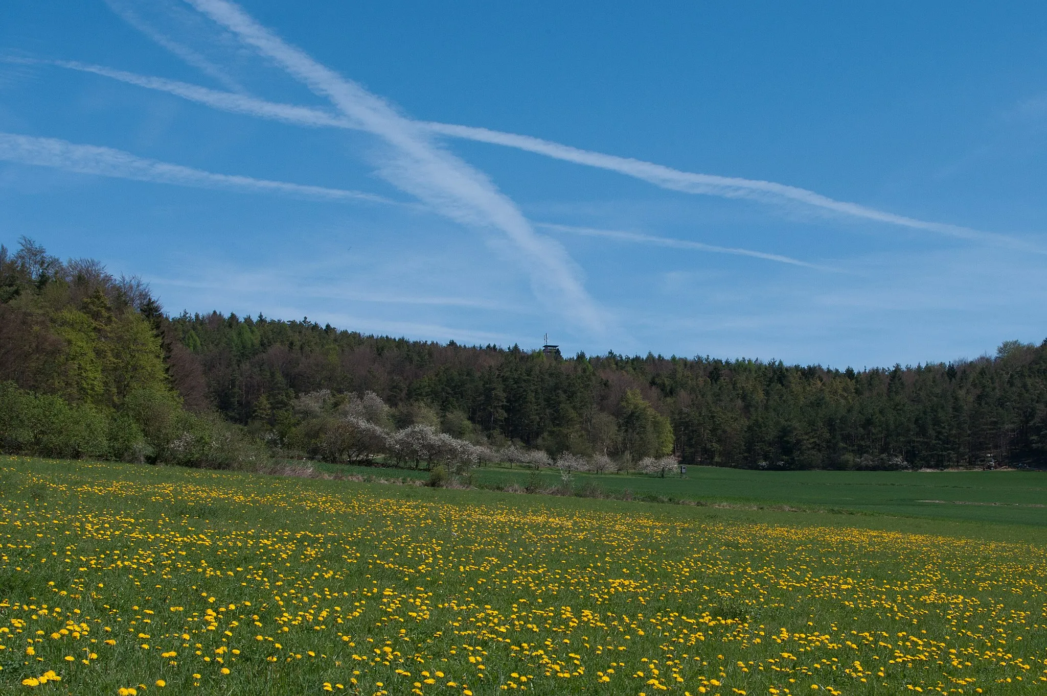
Embark on an exhilarating gravel adventure through rugged terrain and scenic landscapes.
Map

Gravel Adventure is an adrenaline-filled cycling route that starts near Schnaittach. Spanning 96 kilometers with an elevation gain of 1871 meters, this route is recommended for gravel bike enthusiasts. Expect to tackle challenging terrain, picturesque forest paths, and stunning mountain vistas along the way. This route offers a thrilling experience for riders looking to explore the region's natural beauty and test their off-road cycling skills.
gravel
96 km
1871 m
Tough
Route profile
Highlights on the route
0 km
0 km
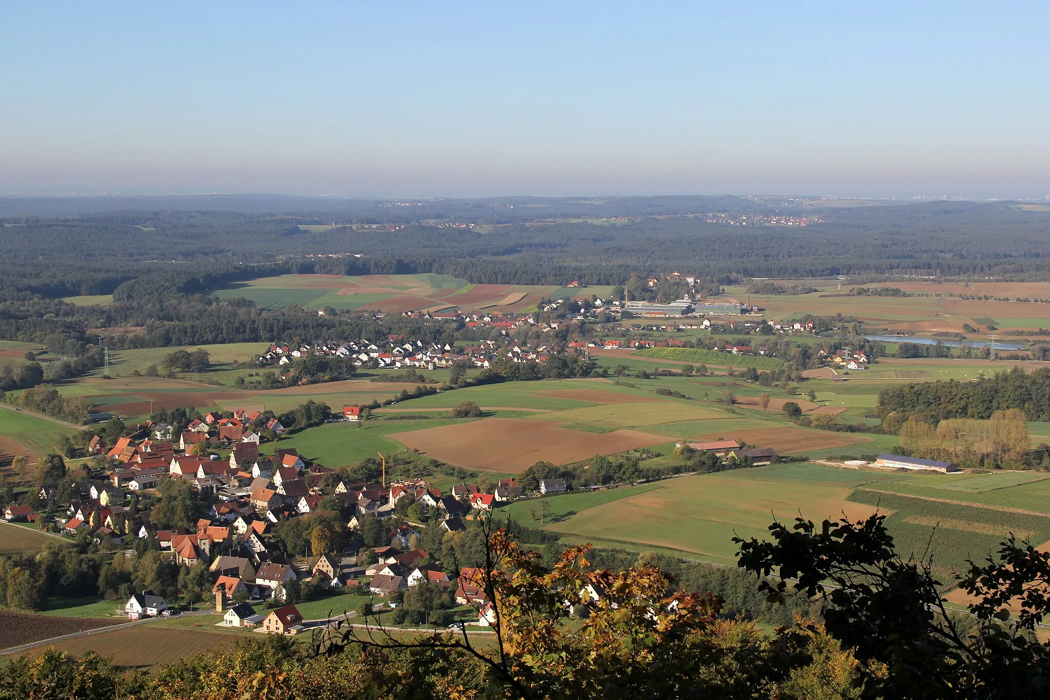
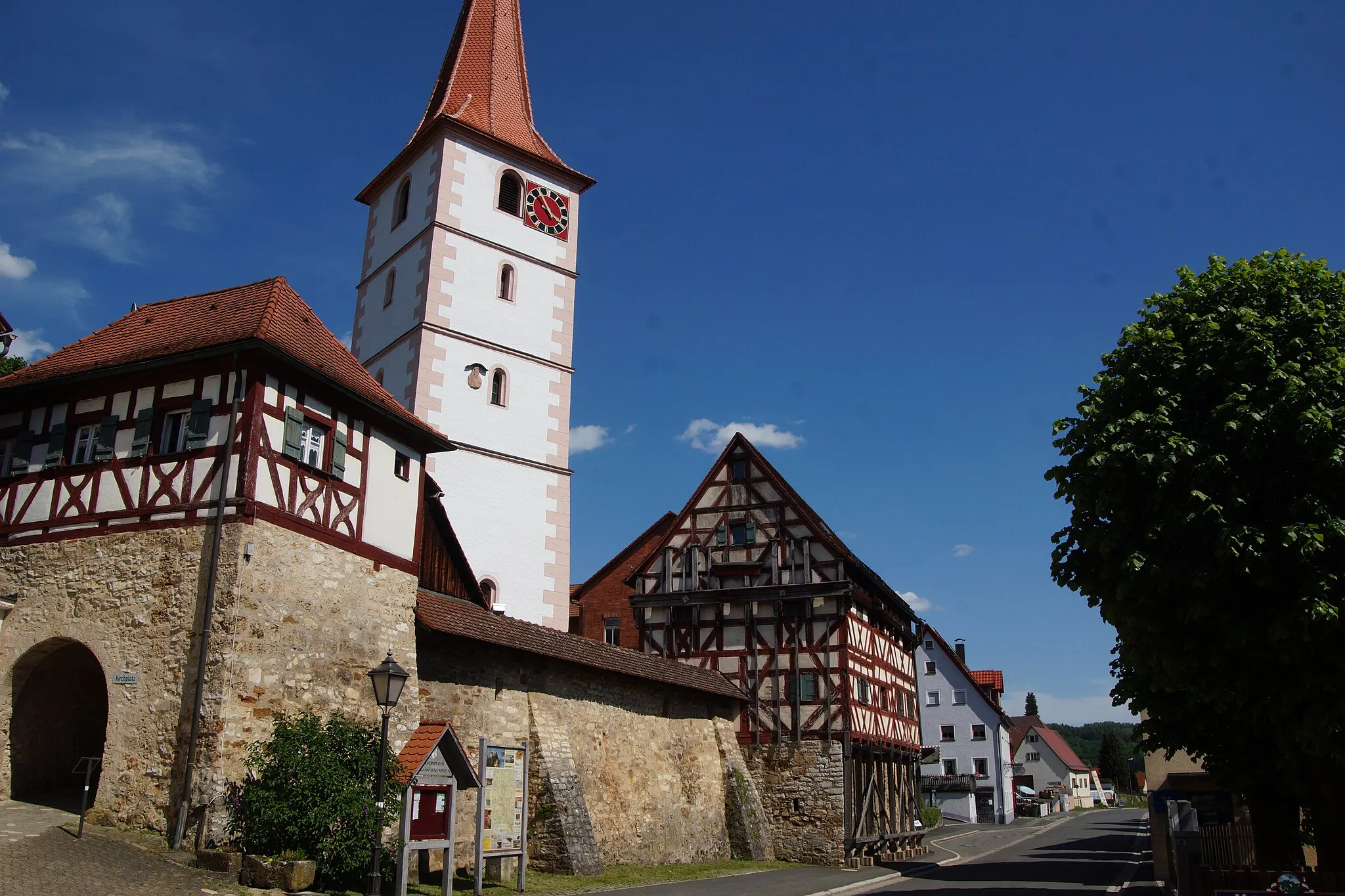
Start: Schnaittach City centerSchnaittach: Cycling Adventure in Schnaittach
Schnaittach, located in Mittelfranken, Germany, offers diverse cycling routes for both road and gravel cyclists. The locality is surrounded by scenic landscapes, including the Franconian Switzerland, known for its stunning rock formations. Cyclists can enjoy exploring the region's picturesque villages and challenging climbs, such as the famous Kreuzstein uphill. With its natural beauty and cycling-friendly environment, Schnaittach is a great destination for cyclists seeking both challenging routes and scenic views.5 km
5 km
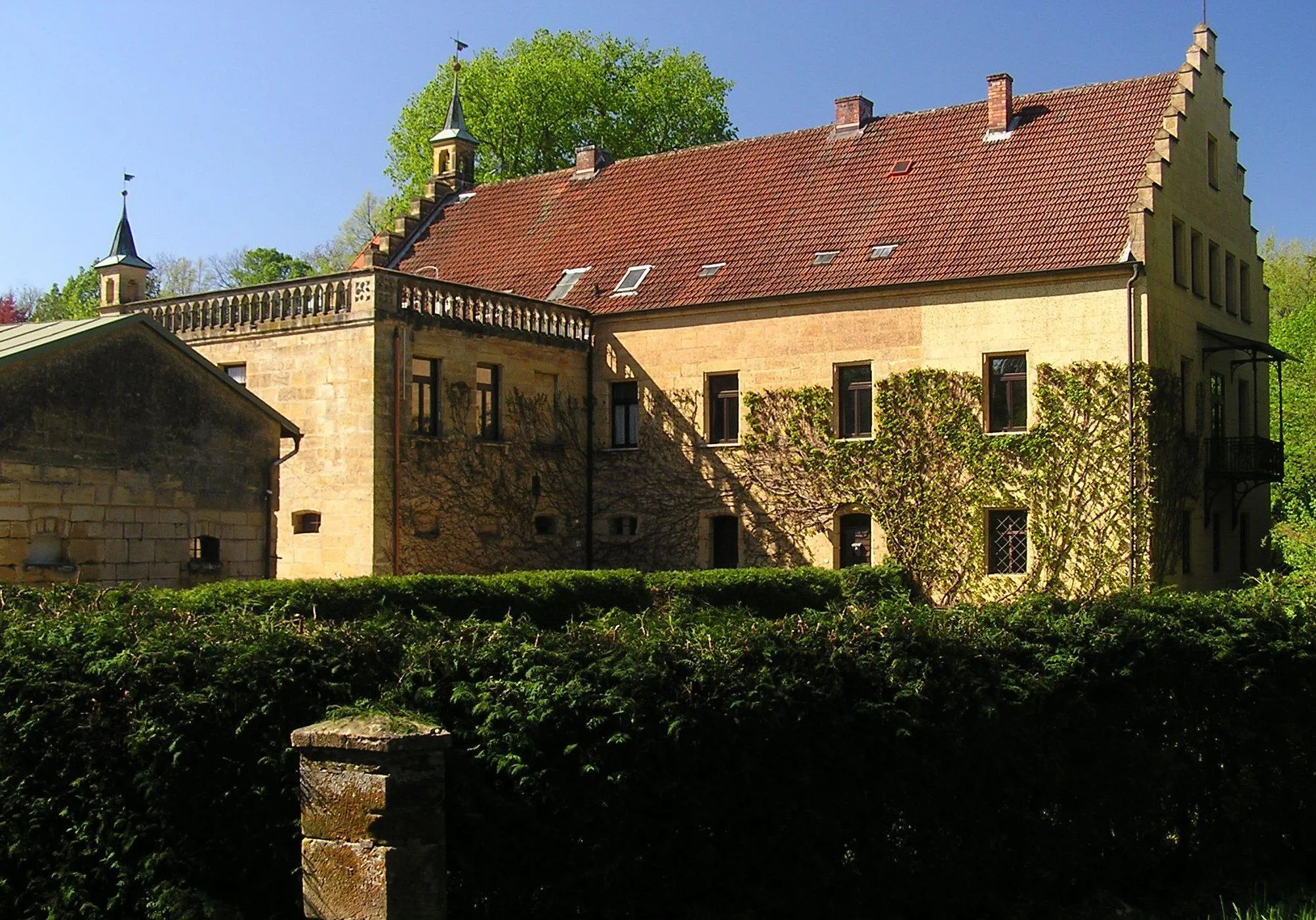
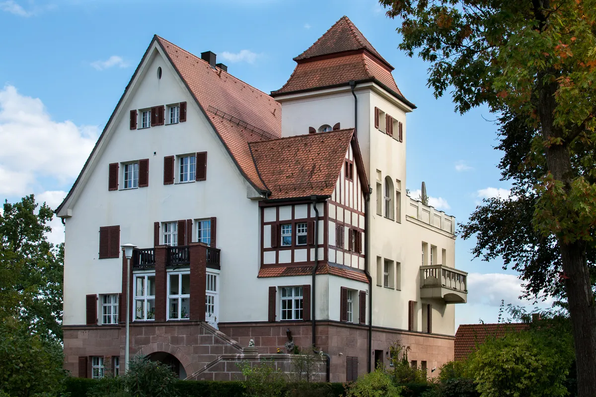
SimmelsdorfVillageSimmelsdorf offers a captivating blend of old-world charm and magnificent views. It's home to a medieval castle and scenic hiking trails.
11 km
11 km
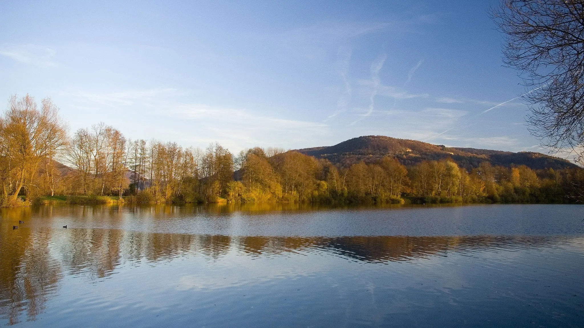
Mühlberg533 mPeakMühlberg is a hidden gem known for its tranquil surroundings and idyllic countryside landscapes.
28 km
28 km
ElbersbergVillageElbersberg boasts extensive forests and lush green meadows, making it a haven for nature lovers.
35 km
35 km
Kleiner Kulm626 mPeakKleiner Kulm offers panoramic views of the surrounding countryside and is a great spot to soak in the breathtaking beauty of nature.
44 km
44 km
Hainberg562 mPeak ViewpointHainberg is a picturesque hill that offers splendid views of the region. It's a peaceful spot to pause and appreciate the stunning landscapes.
54 km
54 km
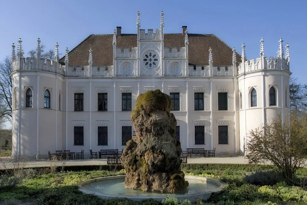
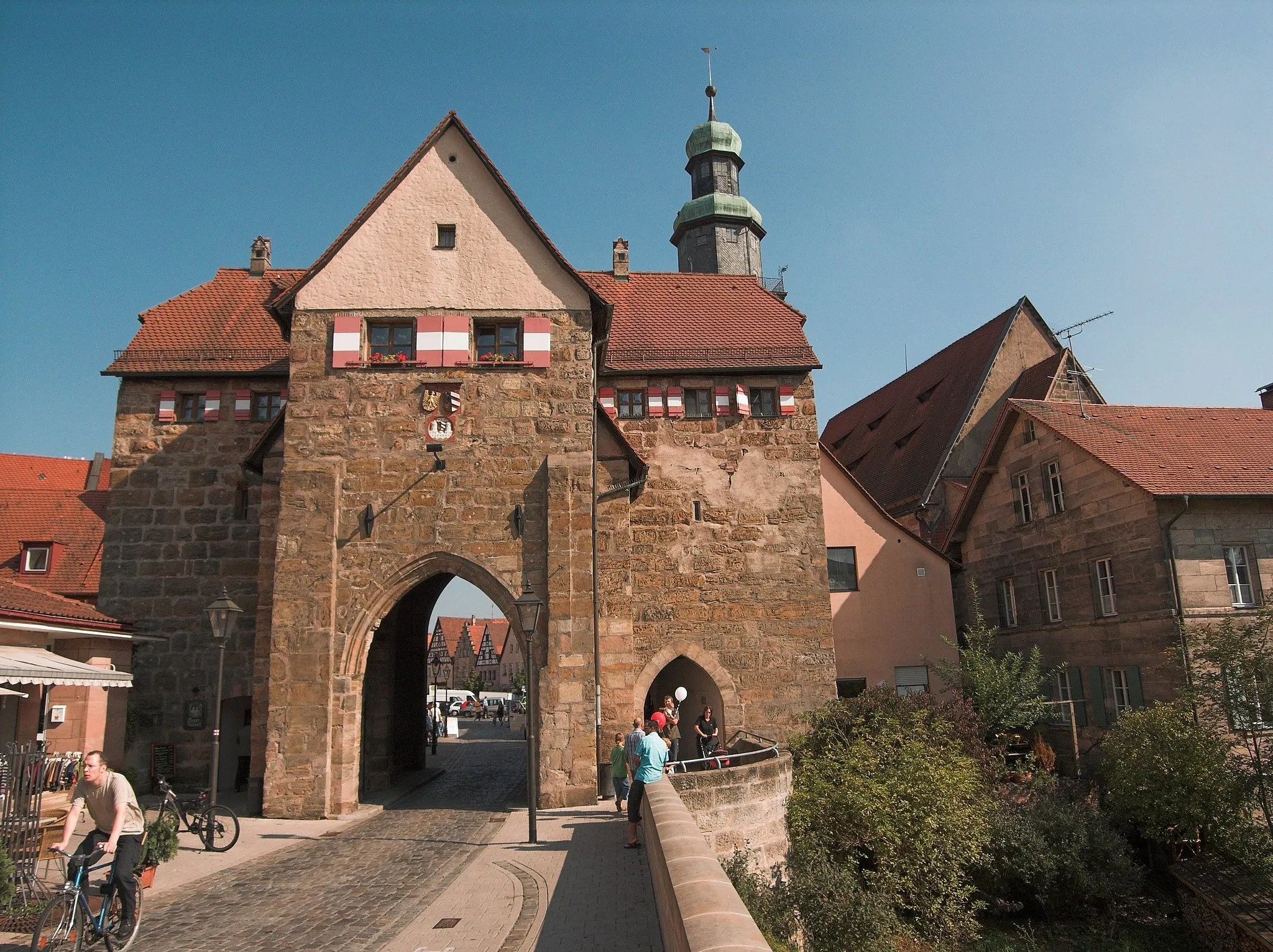
Auerbach in der OberpfalzTownAuerbach in der Oberpfalz is a historic town known for its charming old town and impressive castle.
70 km
70 km
Giebelstein512 mPeakGiebelstein is a small mountain that offers breathtaking views of the surrounding nature, making it an ideal stop for nature enthusiasts.
88 km
88 km
Großer Hansgörgel601 mPeakGroßer Hansgörgel is a peak that provides stunning panoramas over the Bühlertal Nature Park.
94 km
94 km
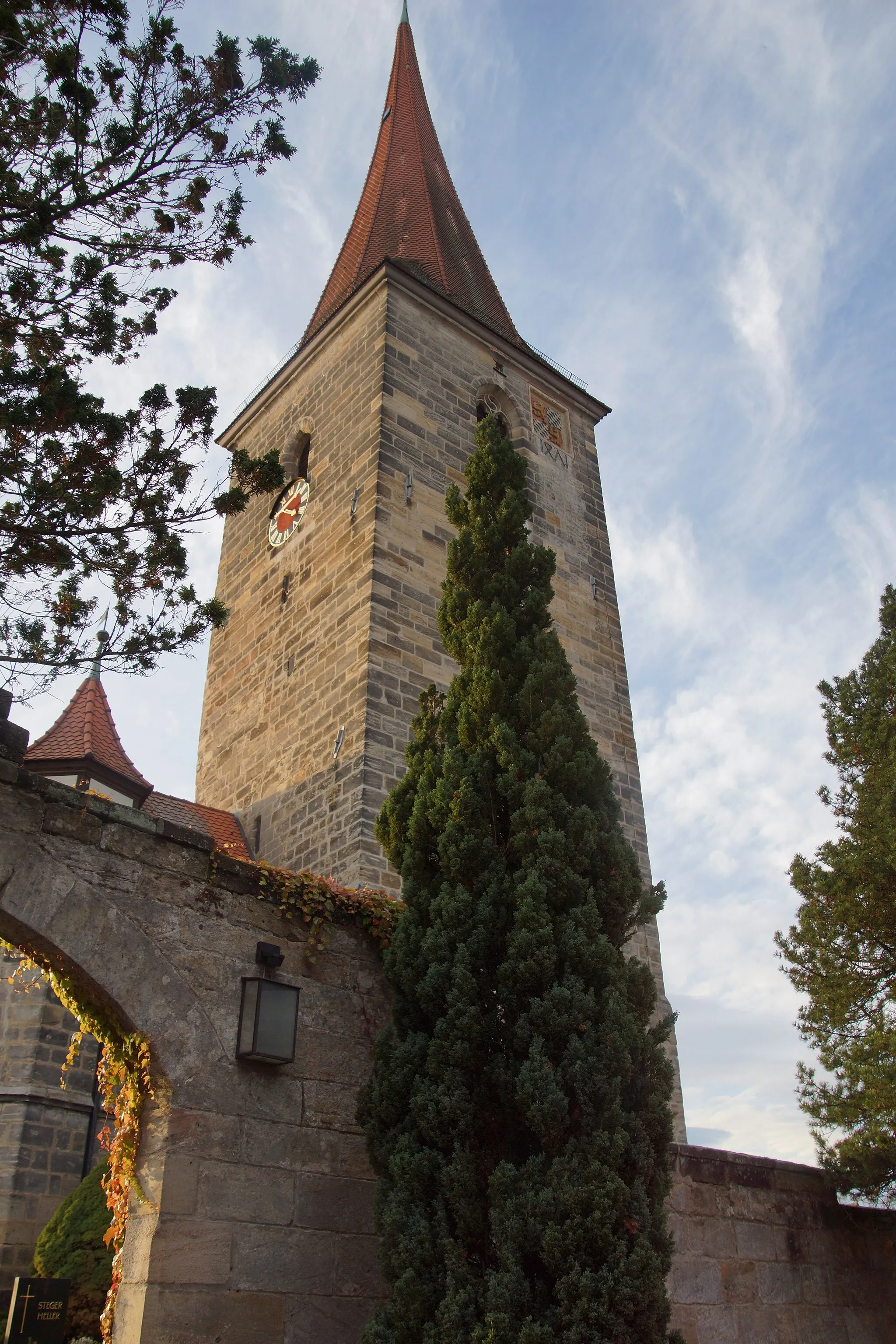
RothenbergCastleRothenberg is a quiet town with medieval architecture and a tranquil setting, perfect for relaxation after a challenging gravel ride.
96 km
96 km
Finish: Schnaittach City centerSchnaittach: Cycling Adventure in Schnaittach
Cycling routes nearby: