The Altenberg Challenge
A road cycling route starting from Schnaittach
A challenging road cycling route with stunning hilltop views
Map
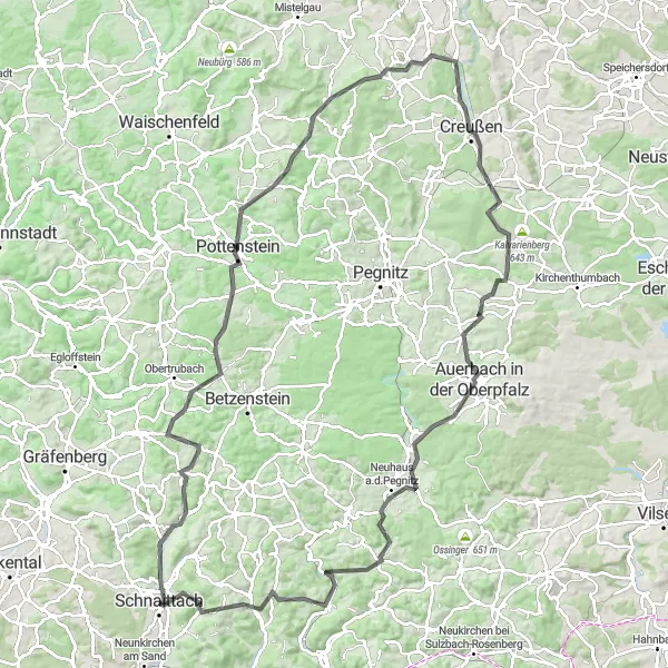
The Altenberg Challenge is a road cycling route that offers a mix of challenging climbs and gorgeous scenery near Schnaittach. With a total distance of 120 kilometers and an ascent of 2199 meters, this route is recommended for experienced cyclists. One of the highlights along the route is the Simmelsdorf, a charming village with traditional Bavarian architecture. Another highlight is the Altenberg, a hilltop with panoramic views of the surrounding landscape. Cyclists will also pass through Pottenstein, a historic town known for its medieval castle and limestone caves. Overall, the Altenberg Challenge is a thrilling route for cyclists who are up for a true challenge and breathtaking views.
road
120 km
2199 m
Savage
Route profile
Highlights on the route
0 km
0 km
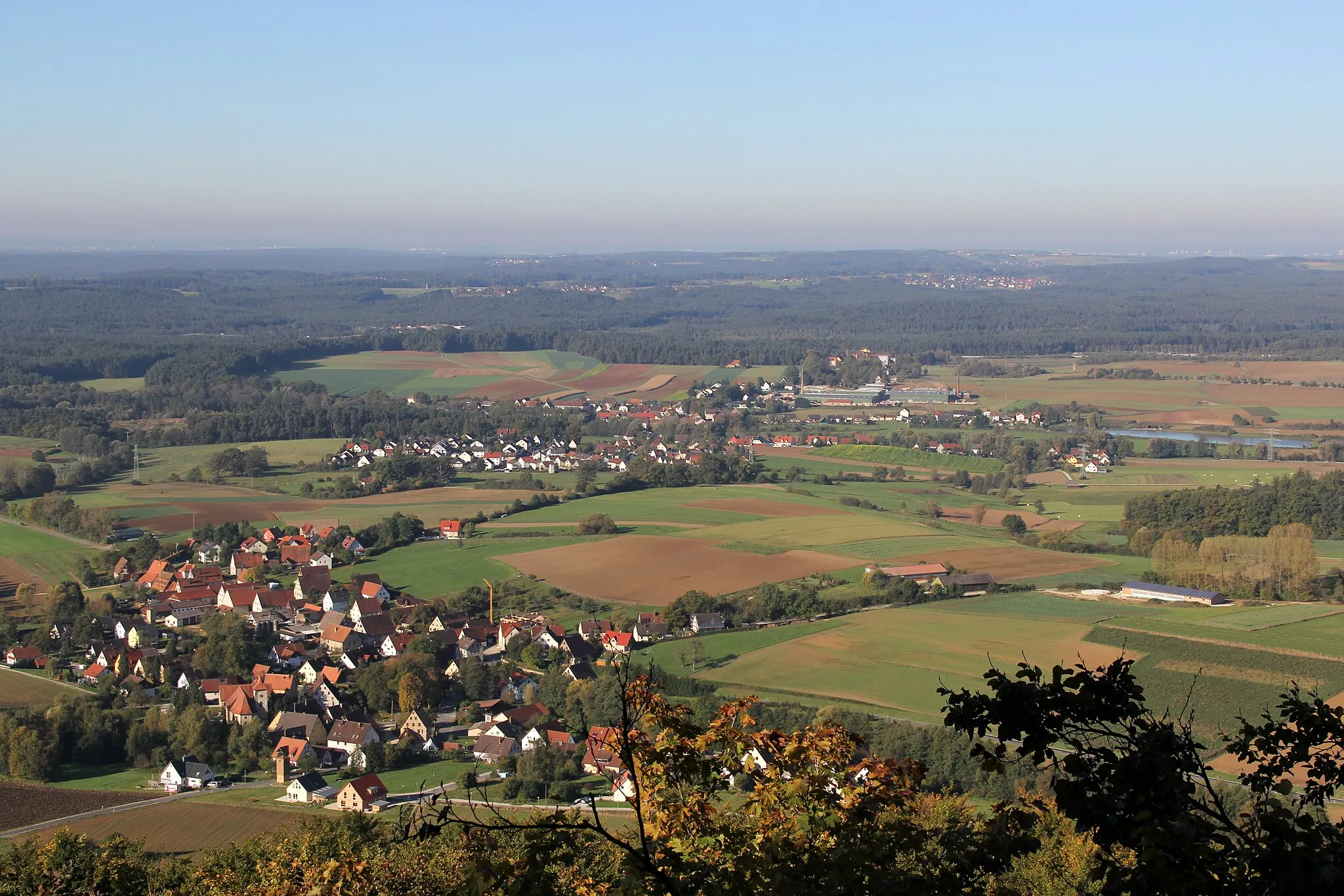
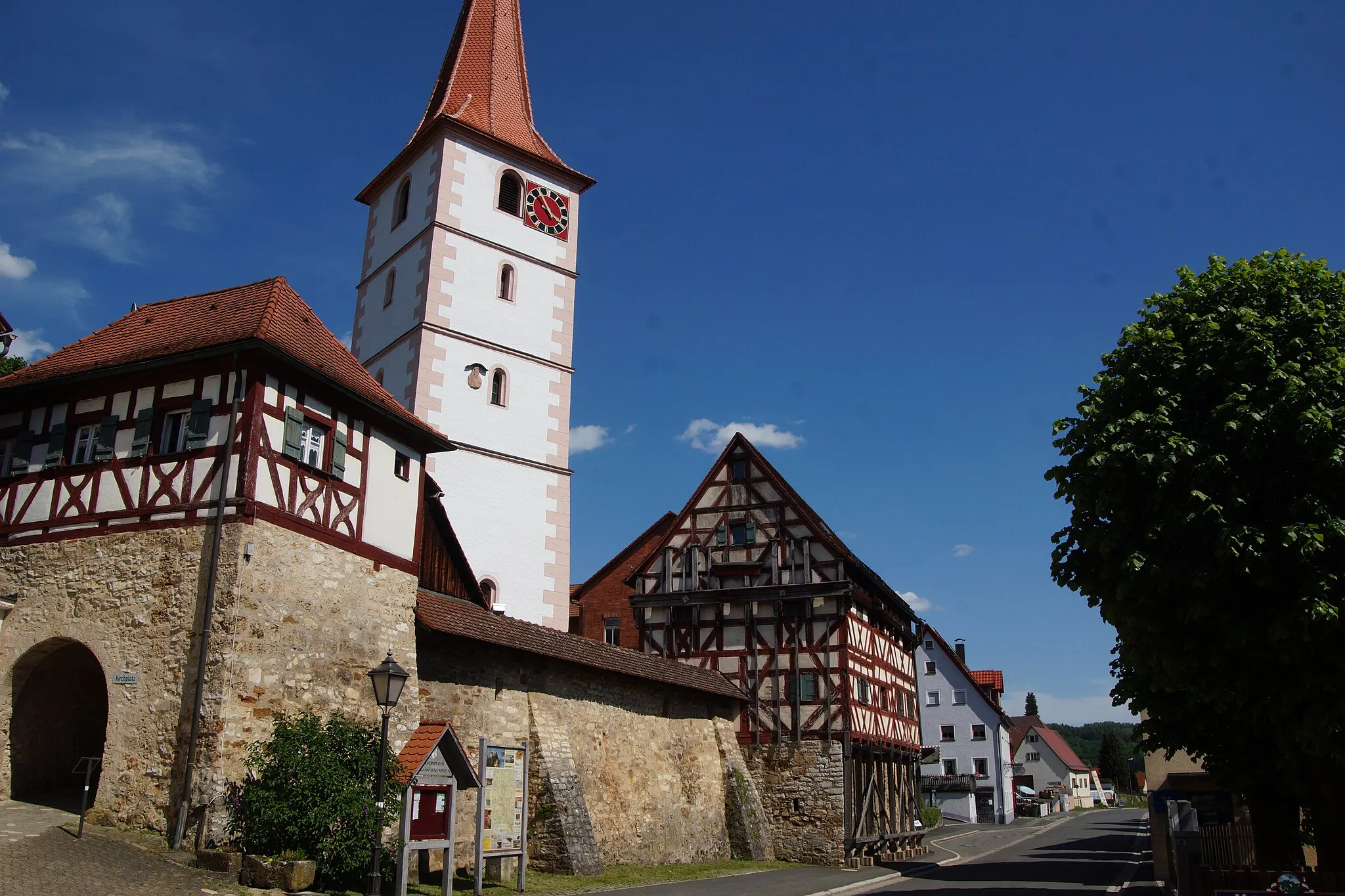
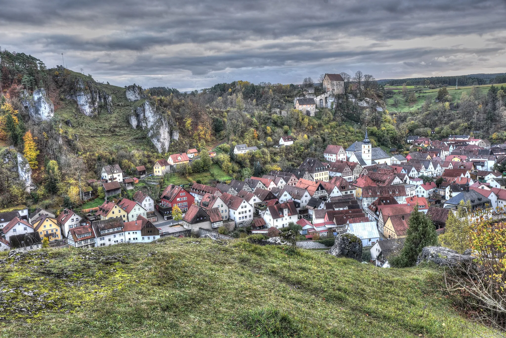
Start: Schnaittach City centerSchnaittach: Cycling Adventure in Schnaittach
Schnaittach, located in Mittelfranken, Germany, offers diverse cycling routes for both road and gravel cyclists. The locality is surrounded by scenic landscapes, including the Franconian Switzerland, known for its stunning rock formations. Cyclists can enjoy exploring the region's picturesque villages and challenging climbs, such as the famous Kreuzstein uphill. With its natural beauty and cycling-friendly environment, Schnaittach is a great destination for cyclists seeking both challenging routes and scenic views.5 km
5 km
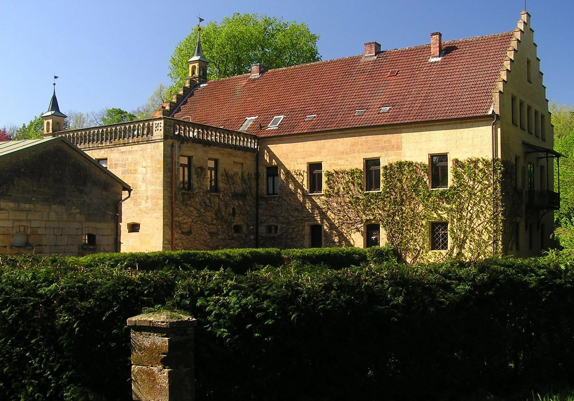
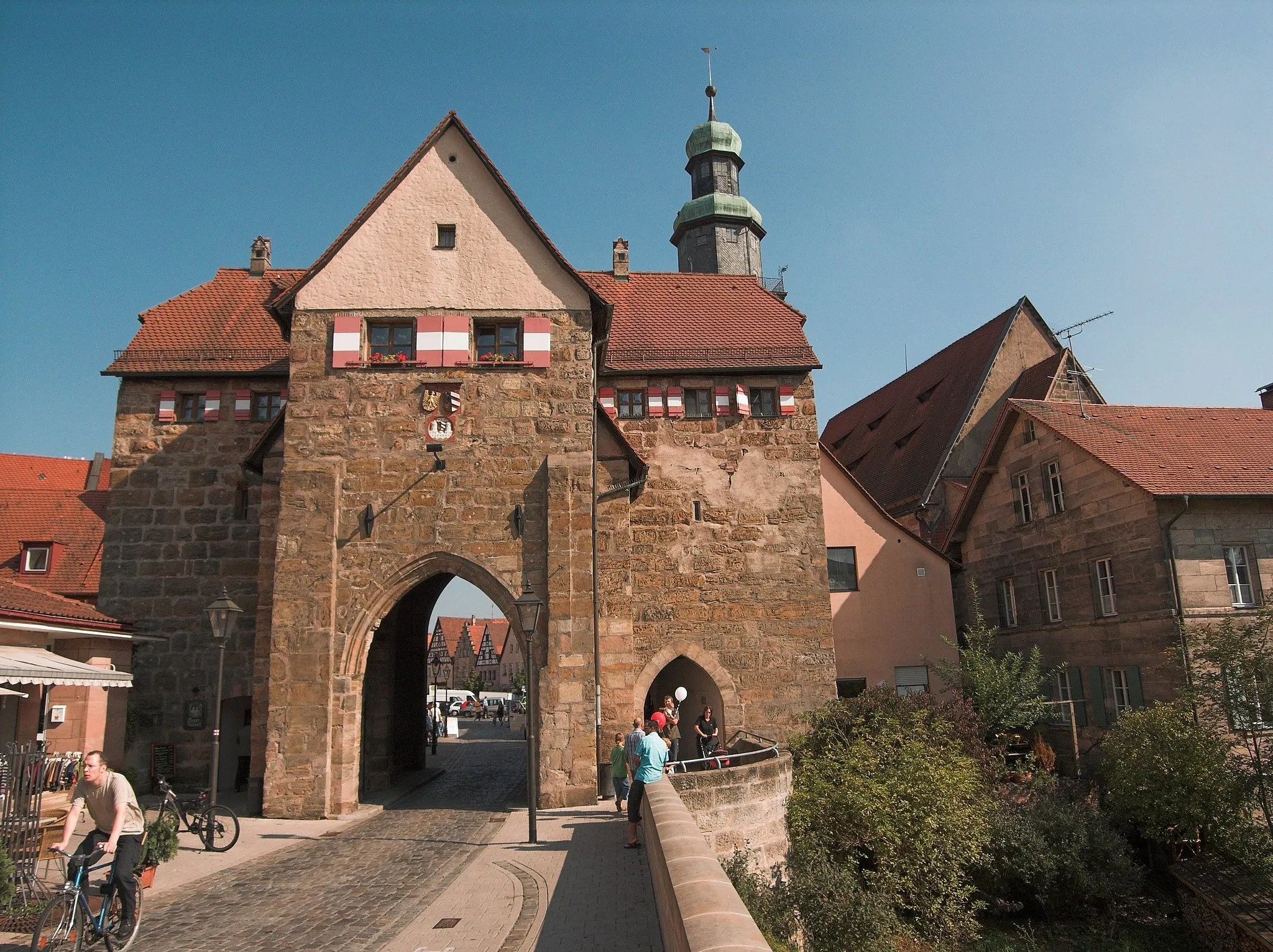
SimmelsdorfVillageSimmelsdorf is a picturesque village with traditional half-timbered houses. Cyclists can explore the village and admire its charming architecture.
11 km
11 km
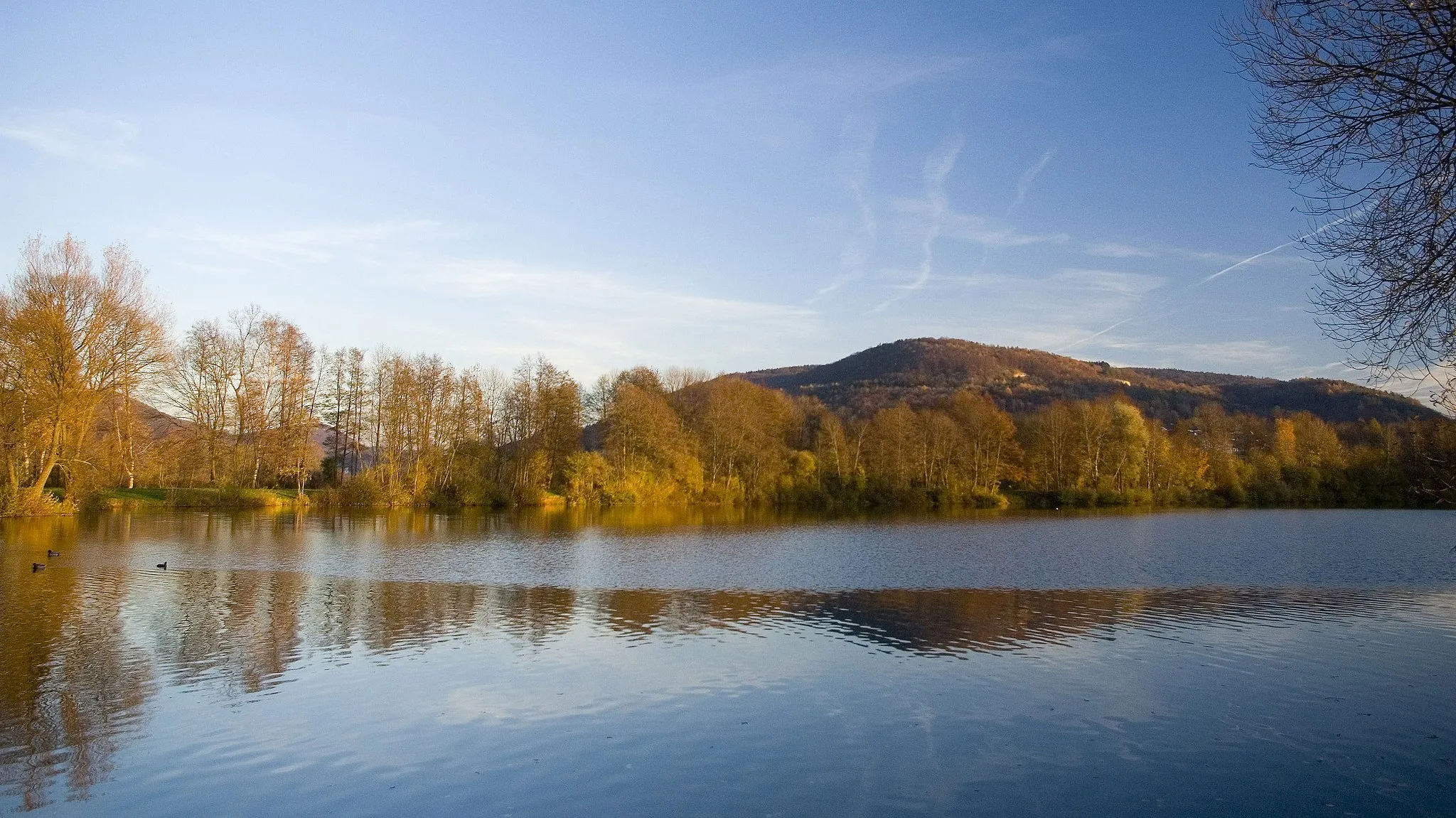
Altenberg545 mPeakAltenberg is a hilltop with stunning panoramic views of the surrounding landscape. Cyclists can enjoy the breathtaking scenery before continuing their journey.
31 km
31 km
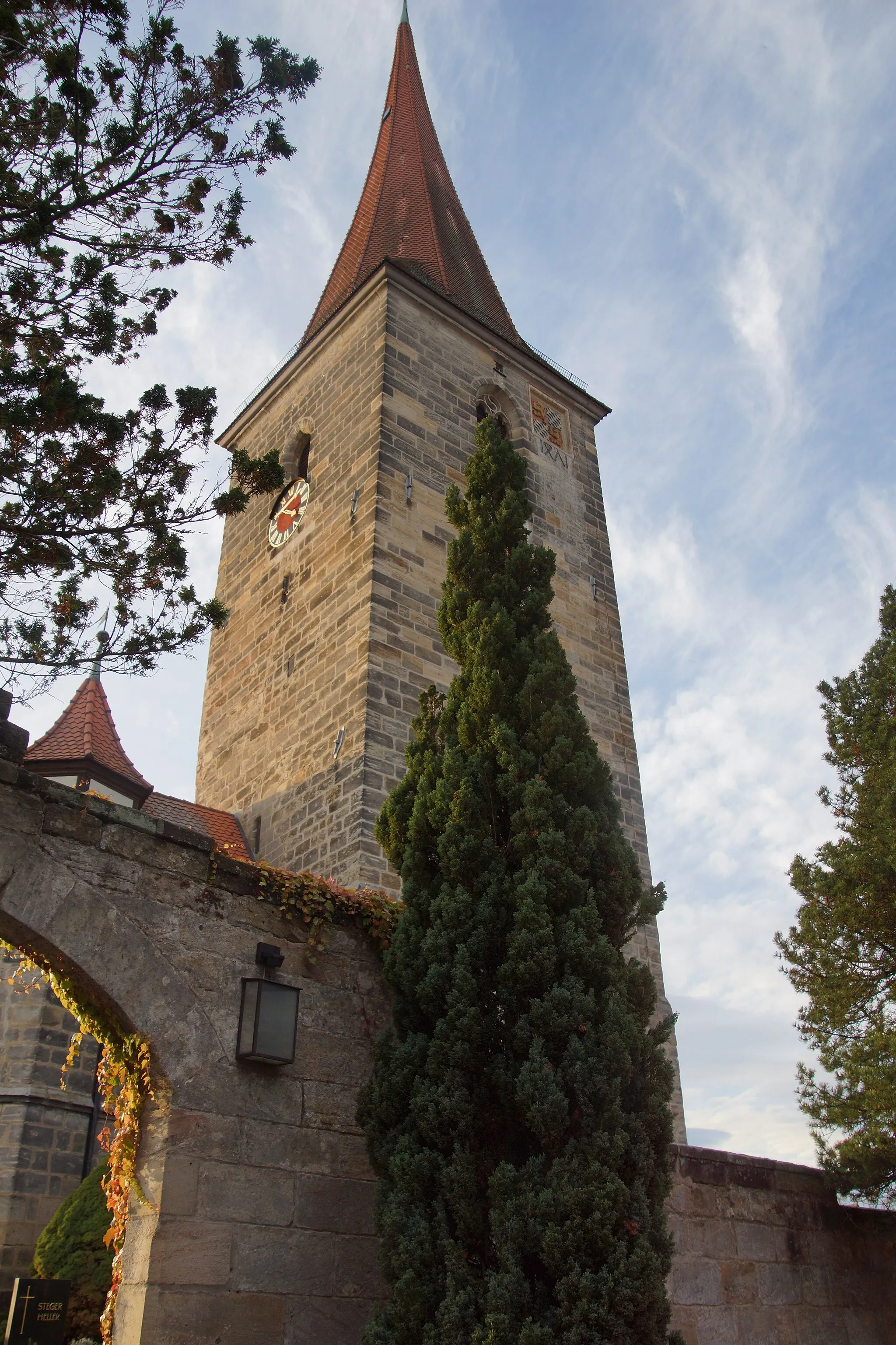
PottensteinTownPottenstein is a historic town known for its medieval castle and limestone caves. Cyclists can visit the castle and explore the fascinating caves.
31 km
31 km
SängerhäuschenViewpointSängerhäuschen is a quaint restaurant located along the route. Cyclists can stop here for a meal and enjoy the peaceful atmosphere.
50 km
50 km
Sophienberg593 mPeakSophienberg is a hill with breathtaking views of the Franconian Switzerland. Cyclists can admire the stunning landscape before descending to the next section of the route.
50 km
50 km
HaagVillageHaag is a charming village with traditional Bavarian architecture. Cyclists will enjoy cycling through its narrow streets and soaking up the village atmosphere.
59 km
59 km
CreußenTownCreußen is a historic town with well-preserved medieval architecture. Cyclists can explore its charming streets and visit its many landmarks.
61 km
61 km
Brandhügel461 mPeakBrandhügel is a small hill with panoramic views of the surrounding countryside. Cyclists can take a break here and enjoy the scenic beauty.
77 km
77 km
Pinzigberg541 mPeakPinzigberg is a hill with picturesque views of the Bavarian countryside. Cyclists can stop here to rest and admire the beautiful landscape.
81 km
81 km
Auerbach in der OberpfalzTownAuerbach in der Oberpfalz is a historic town with a rich cultural heritage. Cyclists can explore its charming streets and visit its many landmarks.
92 km
92 km
Neuhaus a.d.PegnitzVillageNeuhaus a.d.Pegnitz is a picturesque village surrounded by nature. Cyclists can take a break here and enjoy the tranquil surroundings.
97 km
97 km
Kolbenberg505 mPeakKolbenberg is a small hill with panoramic views of the surrounding countryside. Cyclists can take a break here and enjoy the scenic beauty.
109 km
109 km
Sandberg595 mPeakSandberg is a charming village known for its traditional Bavarian charm. Cyclists can take a break here and experience the local hospitality.
117 km
117 km
RothenbergCastleRothenberg is a hill with stunning views of the Bavarian landscape. Cyclists can stop here to rest and enjoy the panoramic vistas.
120 km
120 km
Finish: Schnaittach City centerSchnaittach: Cycling Adventure in Schnaittach
Cycling routes nearby: