Charming Gravel Adventure
A gravel cycling route starting from Tittling
Ride through scenic routes with stunning views of Fürstenstein castle and Büchelstein
Map

Embark on a gravel adventure that takes you through picturesque landscapes and charming rural villages. Get ready to witness the majestic Fürstenstein castle perched atop a hill, offering breathtaking views of the surroundings. As you continue your journey, make sure to stop by Büchelstein, a quaint historical landmark offering a glimpse into the region's rich heritage. With a moderate ascent of 1575 meters over a distance of 92 kilometers, this route offers a refreshing challenge for cyclists of all levels.
gravel
92 km
1575 m
Tough
Route profile
Highlights on the route
0 km
0 km
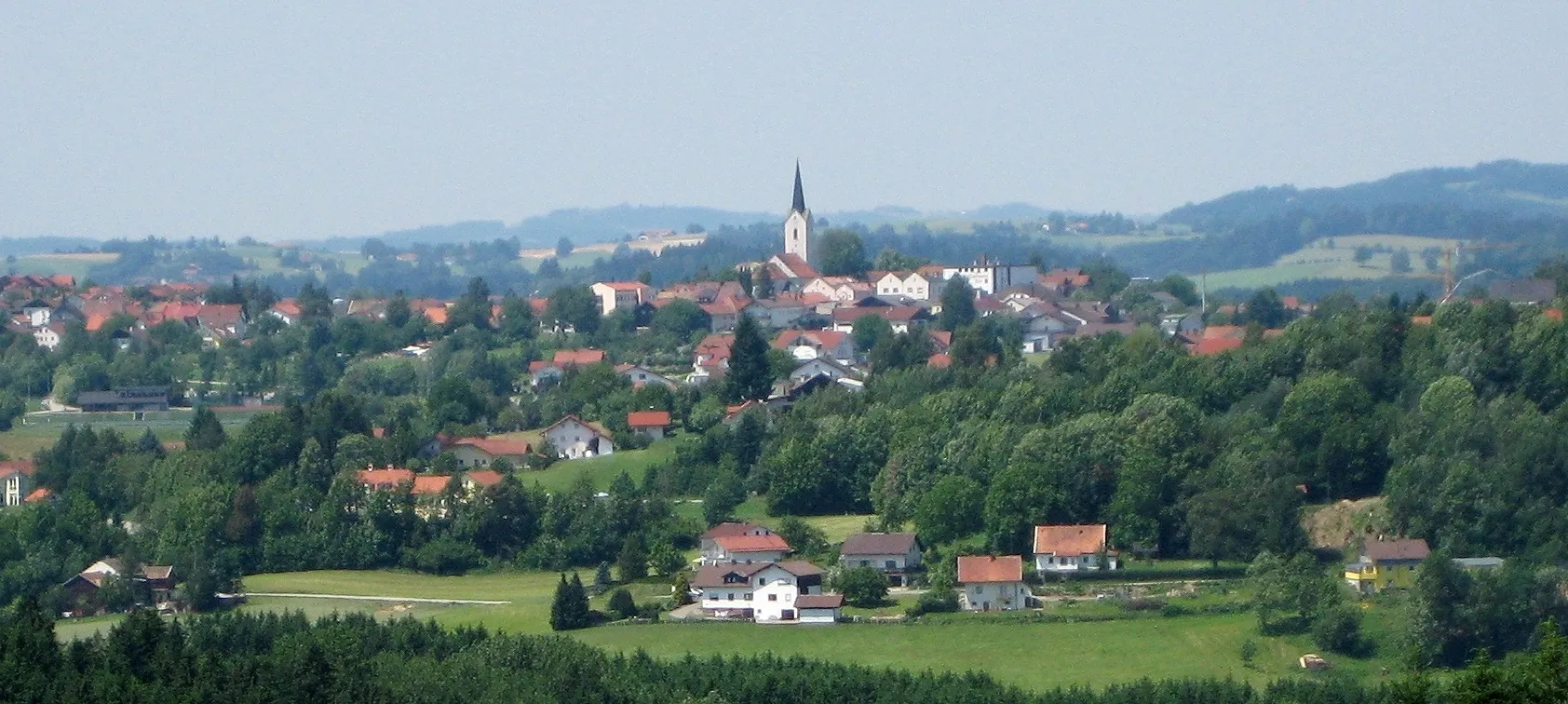
Start: Tittling Village centerTittling: Explore the Bavarian Forest Cycling Path from Tittling.
Tittling, located in Niederbayern, Germany, offers decent cycling opportunities for both road and gravel cyclists. The local roads are generally in good condition and lightly trafficked, ensuring an enjoyable cycling experience. Tittling is situated in a picturesque region with rolling hills, lush forests, and charming Bavarian villages. One cyclist-friendly attraction near Tittling is the Bavarian Forest Cycling Path, a well-established route that stretches over 300 km through the scenic Bavarian Forest. With its varied terrain and beautiful surroundings, Tittling is an appealing destination for cyclists of all levels.4 km
4 km
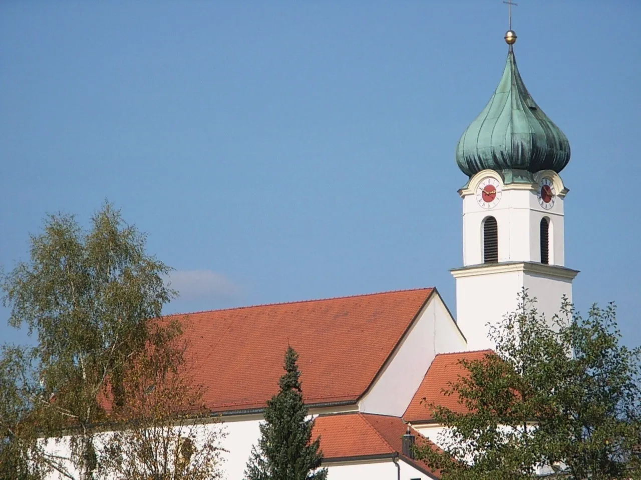
FürstensteinVillageStop at Fürstenstein castle, a magnificent hilltop fortress with panoramic views
15 km
15 km
Forchenhügel430 mPeakExperience the charming village of Forchenhügel, home to traditional Bavarian architecture and idyllic landscapes
23 km
23 km
Mühlberg410 mPeakExplore Mühlberg, a historic town surrounded by lush greenery and dotted with cozy cafes
24 km
24 km
IggensbachVillageAdmire the scenic beauty of Iggensbach, a tranquil village known for its charming houses and vibrant gardens
46 km
46 km
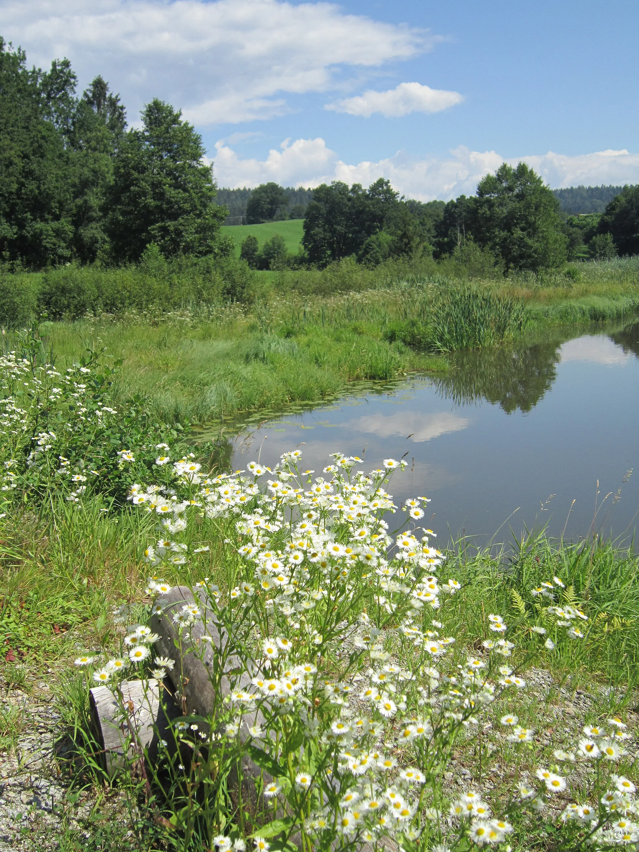
SeebachVillageIndulge in the serenity of Seebach, a peaceful area characterized by beautiful ponds and rolling hills
47 km
47 km
Irlberg512 mPeakDiscover Irlberg, a hidden gem featuring stunning landscapes and traditional Bavarian architecture
66 km
66 km
Büchelstein832 mViewpointPass by Büchelstein, a historical site offering glimpses into the region's past
69 km
69 km
LangfurthVillagePause at Langfurth, a charming place showcasing the region's traditional culture and warm hospitality
78 km
78 km
SollaVillageRest at Solla, a scenic spot known for its tranquil atmosphere and panoramic views
88 km
88 km
Höhenberg608 mPeakTake in the mesmerizing sights of Höhenberg, a hilly area offering a perfect backdrop for outdoor enthusiasts to enjoy their ride
92 km
92 km
Finish: Tittling Village centerTittling: Explore the Bavarian Forest Cycling Path from Tittling.
Cycling routes from Tittling:
Scenic Road Escape Cultural Road Encounter Blümersberg and Roitham Loop Gravel Adventure through the Bavarian Forest Challenging Road Adventure The Best of the Niederbayern Region Challenging Ride through Dießenstein and Hohenburg Tittling and Blümersberg Adventure Charming Gravel Adventure Breathtaking Road Escape Tittling Round-trip Scenic Loop near Tittling
Cycling routes nearby: