Tittling and Blümersberg Adventure
A road cycling route starting from Tittling
Embark on this exciting road cycling route that takes you through enchanting landscapes and historic landmarks.
Map

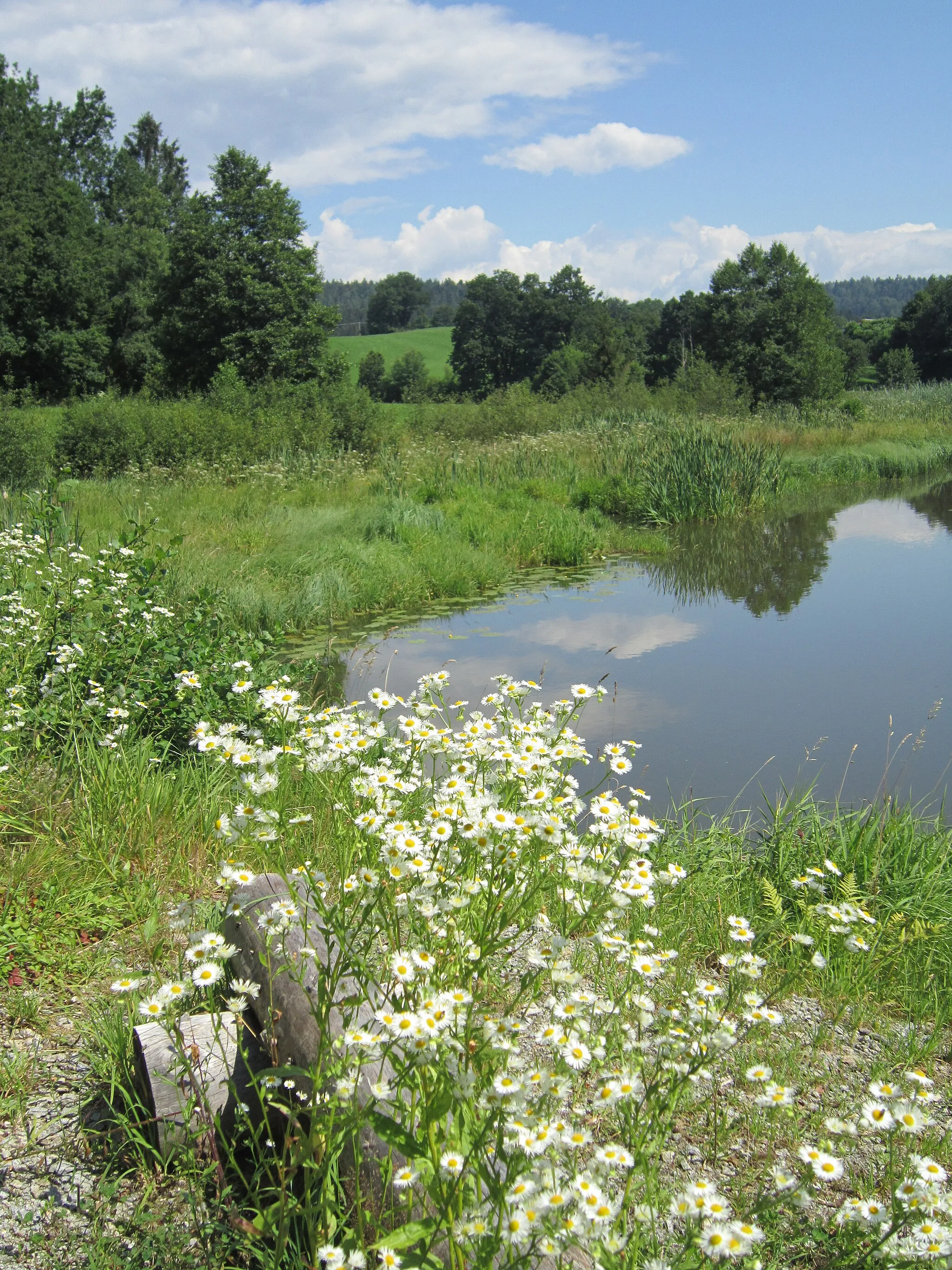
Explore the stunning landscapes of Tittling and its surroundings on this road cycling route. Starting in Tittling, the route leads you to the highlight at Höhenberg, where you can enjoy panoramic views of the area. Continue on to Thurmansbang and Schönberg, known for their charming villages and historic sites. Take a moment to visit the Aussichtsstein am Frauenberg, a scenic spot offering breathtaking vistas. Finally, don't miss Blümersberg, a hill with captivating views over the countryside. With an ascent of 874 meters and a distance of 40 kilometers, this route is ideal for adventurous cyclists looking to experience the best of Niederbayern.
road
40 km
874 m
Tough
Route profile
Highlights on the route
0 km
0 km
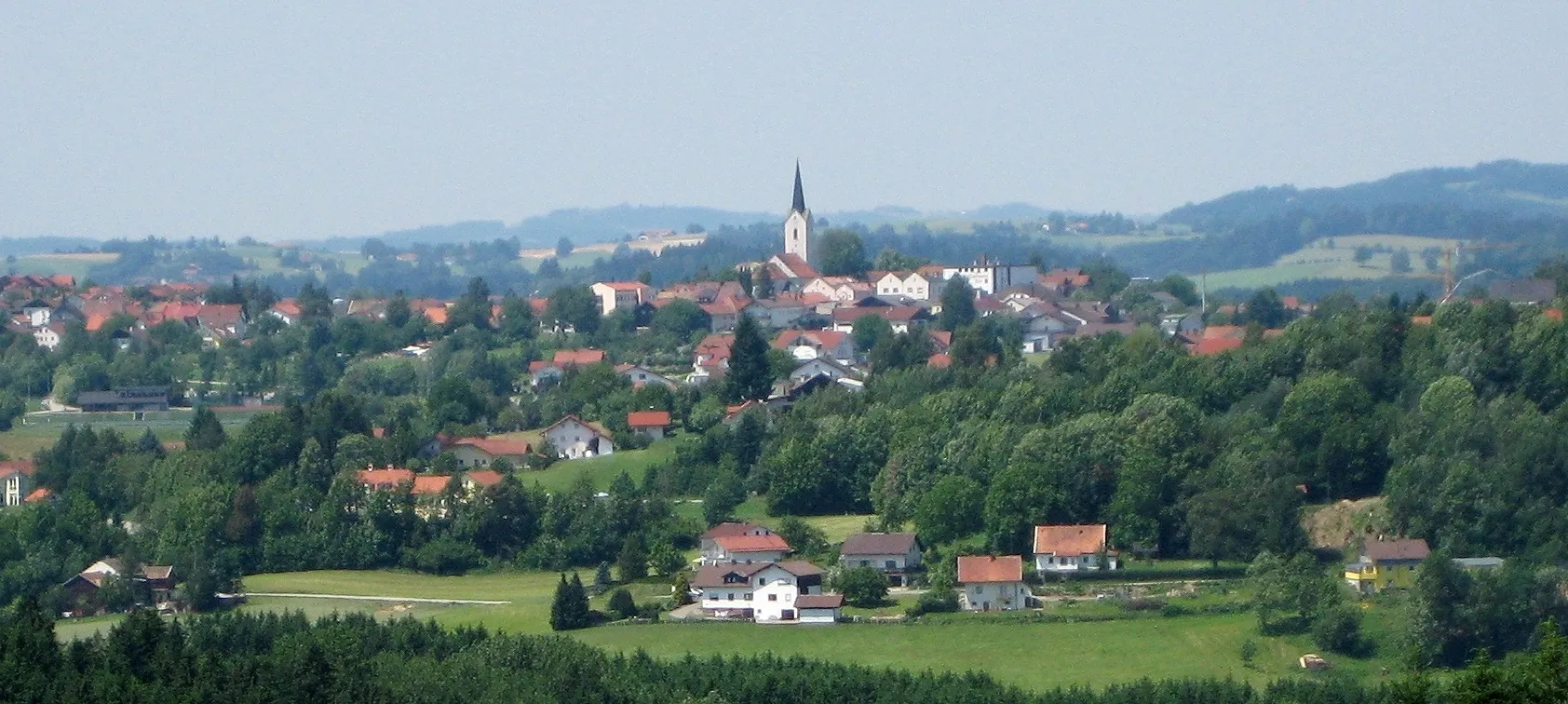
Start: Tittling Village centerTittling: Explore the Bavarian Forest Cycling Path from Tittling.
Tittling, located in Niederbayern, Germany, offers decent cycling opportunities for both road and gravel cyclists. The local roads are generally in good condition and lightly trafficked, ensuring an enjoyable cycling experience. Tittling is situated in a picturesque region with rolling hills, lush forests, and charming Bavarian villages. One cyclist-friendly attraction near Tittling is the Bavarian Forest Cycling Path, a well-established route that stretches over 300 km through the scenic Bavarian Forest. With its varied terrain and beautiful surroundings, Tittling is an appealing destination for cyclists of all levels.2 km
2 km
Höhenberg608 mPeakHöhenberg offers panoramic views of the surrounding landscapes and towns.
6 km
6 km
ThurmansbangVillageThurmansbang is a charming village with historic buildings and picturesque streets.
20 km
20 km
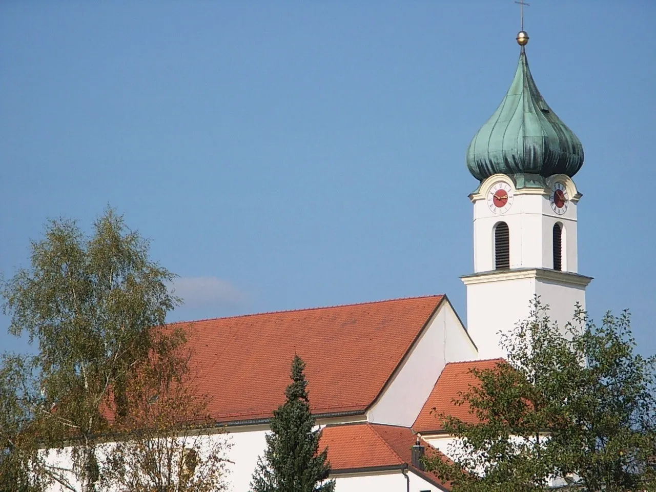
SchönbergTownSchönberg is famous for its renovated castle and beautiful gardens.
23 km
23 km
Aussichtsstein am FrauenbergViewpointAussichtsstein am Frauenberg offers breathtaking vistas of the region's rolling hills and picturesque villages.
40 km
40 km
BlümersbergViewpointBlümersberg rewards cyclists with stunning views of the surrounding countryside.
40 km
40 km
TittlingVillageTittling is a picturesque town surrounded by enchanting landscapes and historic landmarks.
40 km
40 km
Finish: Tittling Village centerTittling: Explore the Bavarian Forest Cycling Path from Tittling.
Cycling routes from Tittling:
Scenic Road Escape Cultural Road Encounter Blümersberg and Roitham Loop Gravel Adventure through the Bavarian Forest Challenging Road Adventure The Best of the Niederbayern Region Challenging Ride through Dießenstein and Hohenburg Tittling and Blümersberg Adventure Charming Gravel Adventure Breathtaking Road Escape Tittling Round-trip Scenic Loop near Tittling
Cycling routes nearby: