Scenic Loop near Tittling
A road cycling route starting from Tittling
Enjoy the breathtaking views on this challenging loop near Tittling
Map
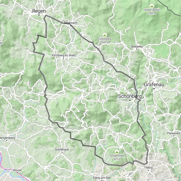
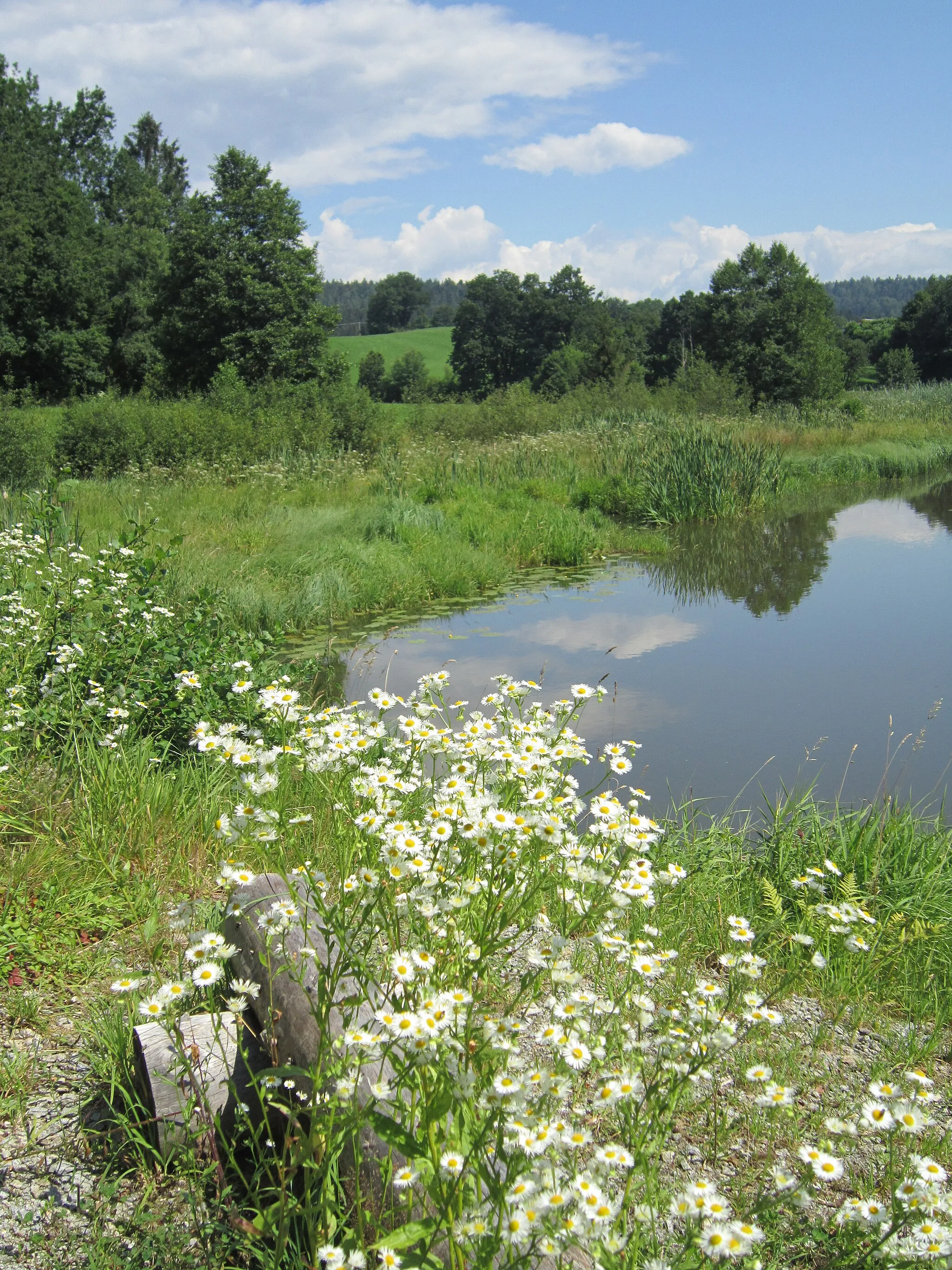
Immerse yourself in the stunning landscapes of the Tittling region with this challenging cycling route. The journey begins with a climb up the Höhenberg, offering incredible panoramic vistas. As you make your way through Thannberg and Eisenberg, prepare to be captivated by the breathtaking scenery and charming villages. Lalling and Pfefferberg provide moments of tranquility amidst nature, while Rinchnach is renowned for its captivating architecture and cultural attractions. Kirchdorf im Wald and Matzersdorf are picturesque stops that promise photo-worthy moments. This route is perfect for cycling enthusiasts seeking a rewarding adventure in Niederbayern.
road
86 km
1768 m
Tough
Route profile
Highlights on the route
0 km
0 km
Start: Hörmannsdorf Village centerTittling: Explore the Bavarian Forest Cycling Path from Tittling.
Tittling, located in Niederbayern, Germany, offers decent cycling opportunities for both road and gravel cyclists. The local roads are generally in good condition and lightly trafficked, ensuring an enjoyable cycling experience. Tittling is situated in a picturesque region with rolling hills, lush forests, and charming Bavarian villages. One cyclist-friendly attraction near Tittling is the Bavarian Forest Cycling Path, a well-established route that stretches over 300 km through the scenic Bavarian Forest. With its varied terrain and beautiful surroundings, Tittling is an appealing destination for cyclists of all levels.2 km
2 km
Höhenberg608 mPeakHöhenberg offers mesmerizing panoramic views of the surrounding valleys and forests.
9 km
9 km
ThannbergVillageThannberg charms visitors with its traditional Bavarian architecture and idyllic countryside.
19 km
19 km
Eisenberg562 mPeakEisenberg is a quaint village with picturesque landscapes and enchanting hiking trails.
29 km
29 km
LallingVillageLalling is a hidden gem known for its peaceful atmosphere and beautiful natural surroundings.
40 km
40 km
Pfefferberg613 mPeak53 km
53 km
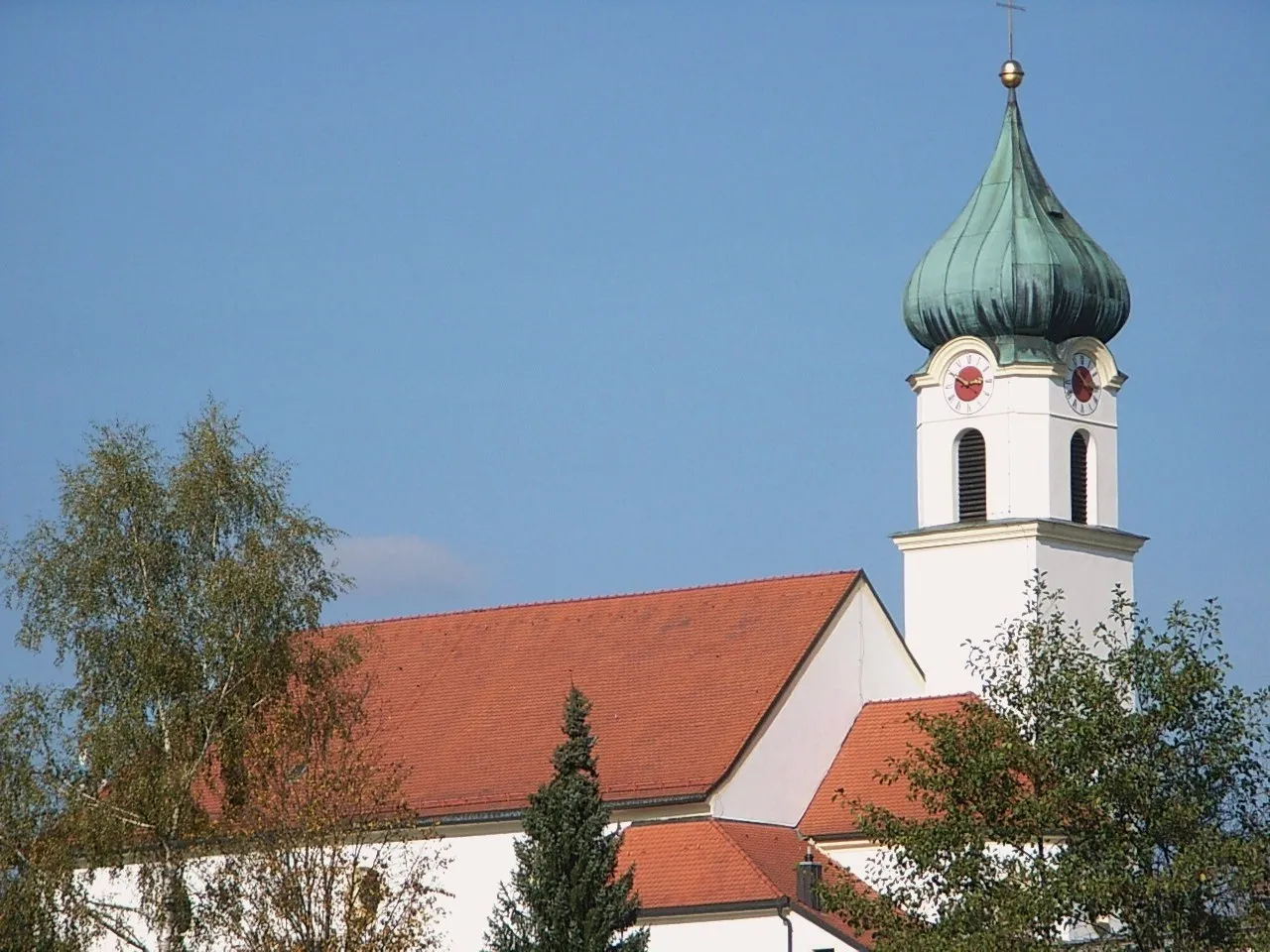
RinchnachVillageRinchnach boasts stunning examples of traditional Bavarian architecture and renowned cultural sites.
60 km
60 km
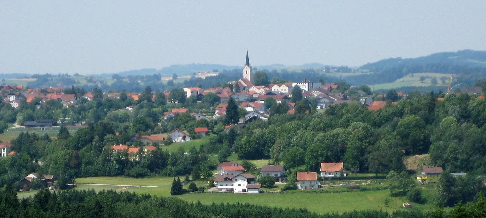
Kirchdorf im WaldVillageKirchdorf im Wald captures the essence of rural Bavaria with its charming villages and peaceful ambiance.
76 km
76 km
Bauernberg534 mPeakBauernberg offers scenic vistas and tranquil surroundings, making it an ideal spot for nature lovers.
83 km
83 km
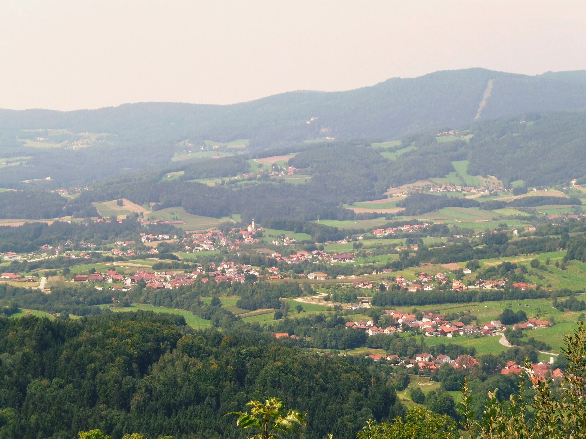
MatzersdorfHamletMatzersdorf is a picturesque village nestled in the hills, perfect for some memorable photos.
86 km
86 km
Finish: Hörmannsdorf Village centerTittling: Explore the Bavarian Forest Cycling Path from Tittling.
Cycling routes from Tittling:
Scenic Road Escape Cultural Road Encounter Blümersberg and Roitham Loop Gravel Adventure through the Bavarian Forest Challenging Road Adventure The Best of the Niederbayern Region Challenging Ride through Dießenstein and Hohenburg Tittling and Blümersberg Adventure Charming Gravel Adventure Breathtaking Road Escape Tittling Round-trip Scenic Loop near Tittling
Cycling routes nearby: