Gravel Adventure
A gravel cycling route starting from Igensdorf
Embark on an exciting gravel adventure near Igensdorf
Map
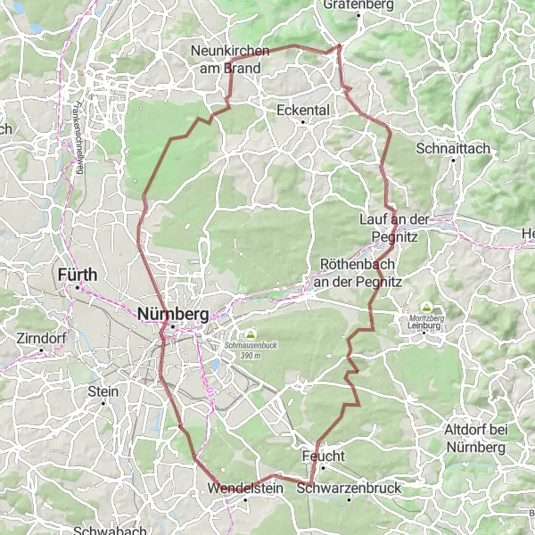
The Gravel Adventure is a thrilling 90-kilometer route near Igensdorf that is ideal for off-road cycling enthusiasts. With an ascent of 722 meters, this route offers an enjoyable challenge for gravel bikers. Highlights of the route include the charming town of Lauf an der Pegnitz, the scenic Brunner Berg, and the historic city of Nuremberg. Cyclists will also have the opportunity to explore the beautiful landscapes of the Franconian Switzerland region. The Gravel Adventure route is a perfect choice for those seeking an adventurous and scenic cycling experience.
gravel
90 km
722 m
Tough
Route profile
Highlights on the route
0 km
0 km
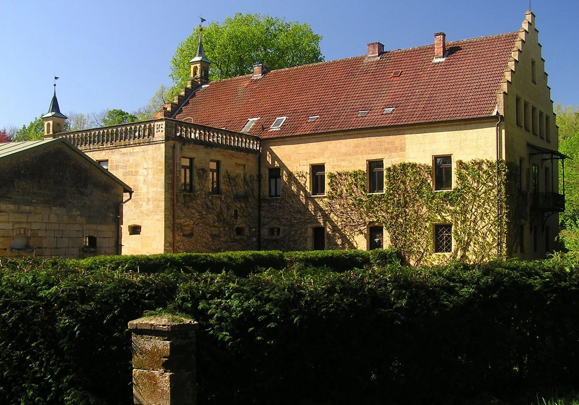
Start: Igensdorf Village centerIgensdorf: Cycling Paradise in Oberfranken, Germany
Igensdorf, located in Oberfranken, Germany, offers a great cycling experience with its beautiful scenery and well-maintained roads. As a road and gravel cyclist, you will enjoy riding through the picturesque countryside, passing by lush forests, rolling hills, and quaint villages. The locality also offers various routes for different fitness levels, from leisurely rides to more challenging climbs. One of the well-known cycling spots nearby is the Franconian Switzerland Nature Park, which offers stunning landscapes and famous climbs like the Osserberg. Overall, Igensdorf is a cyclist's paradise with diverse terrain and plenty of opportunities for exploration.0 km
0 km
IgensdorfVillageIgensdorf is a picturesque village surrounded by rolling hills and fields.
15 km
15 km
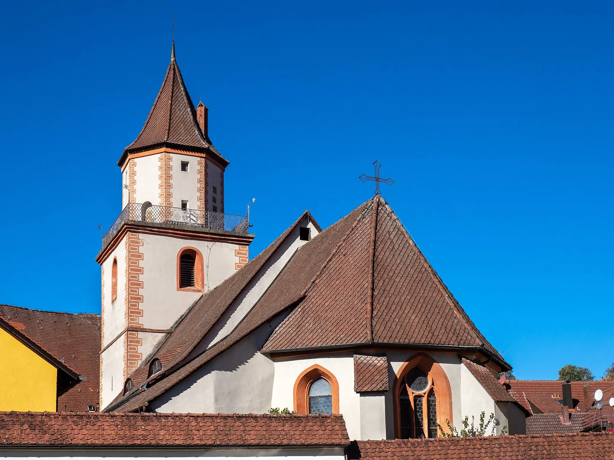
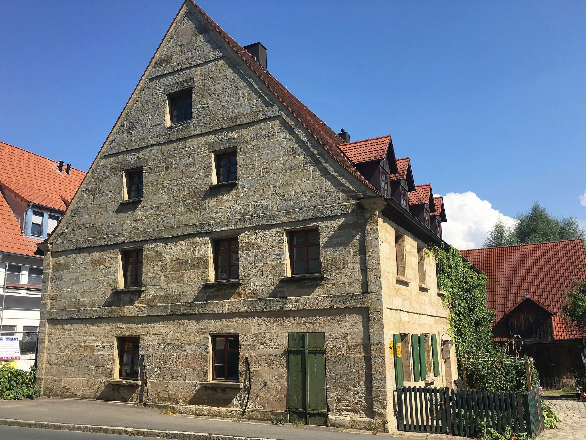
Lauf an der PegnitzTownLauf an der Pegnitz is a historic town with well-preserved medieval architecture.
27 km
27 km
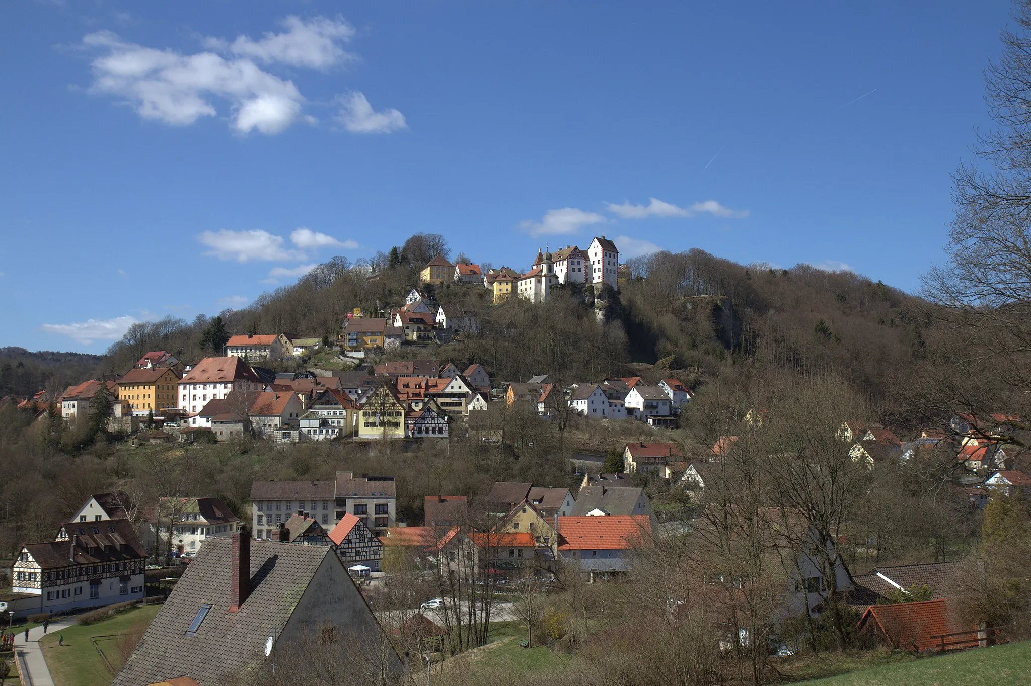
Brunner Berg438 mPeakBrunner Berg is a popular hill with spectacular views of the surrounding landscapes.
37 km
37 km
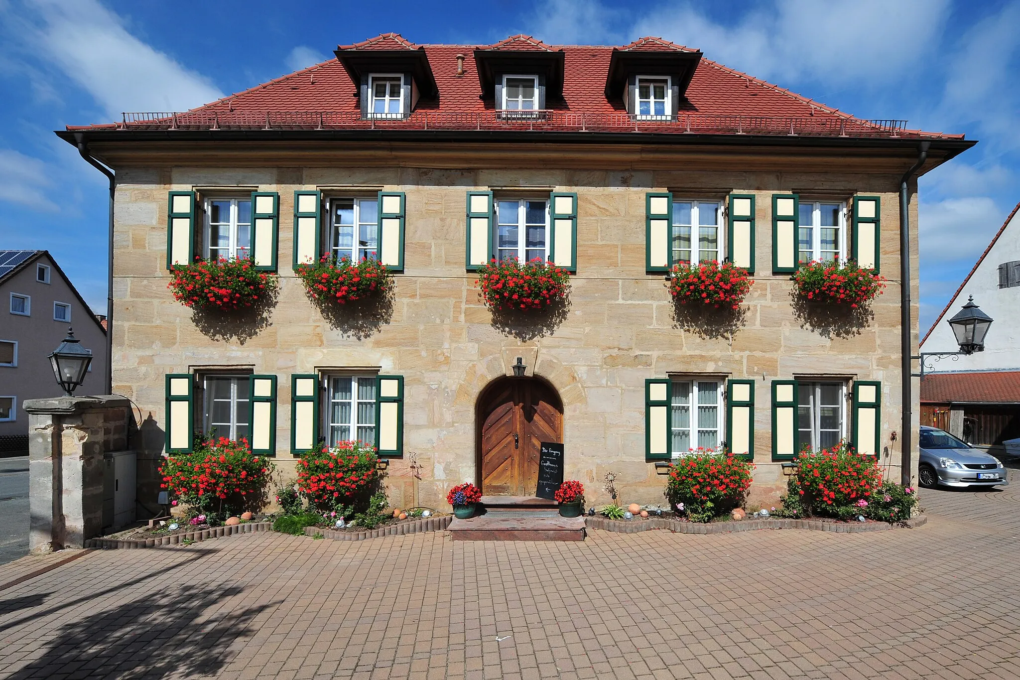
FeuchtTownFeucht is a charming village known for its traditional half-timbered houses.
44 km
44 km
WendelsteinTownWendelstein is a mountain in the Franconian Jura that offers panoramic views.
47 km
47 km
Glasersberg390 mPeakGlasersberg is a small hamlet with a picturesque setting in the Franconian Switzerland.
59 km
59 km
NurembergCityNuremberg is a famous city with a fascinating history and vibrant cultural scene.
70 km
70 km
Gründlacher Berg329 mPeakGründlacher Berg is a hill with panoramic views of Nuremberg and the surrounding area.
79 km
79 km
DormitzVillageDormitz is a charming village with beautiful countryside scenery.
82 km
82 km
Gugel375 mPeakGugel is a tranquil hamlet situated amidst rolling hills and meadows.
90 km
90 km
Finish: Igensdorf Village centerIgensdorf: Cycling Paradise in Oberfranken, Germany
Cycling routes from Igensdorf:
Cycling routes nearby: