Exploring the Hirschbachtal Valley
A road cycling route starting from Igensdorf
Embrace the scenic beauty of Igensdorf and get ready to conquer the Hirschbachtal Valley.
Map
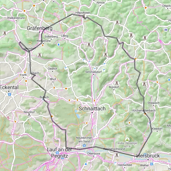
This challenging road cycling route takes you through picturesque landscapes, charming villages, and offers stunning views. With a total distance of 61 km and an ascent of 658 m, this route provides a satisfying challenge for experienced riders. Explore highlights along the way such as the historic Eberhardsberg Castle and the enchanting Gräfenberg.
road
61 km
658 m
Tough
Route profile
Highlights on the route
0 km
0 km
Start: Dachstadt Village centerIgensdorf: Cycling Paradise in Oberfranken, Germany
Igensdorf, located in Oberfranken, Germany, offers a great cycling experience with its beautiful scenery and well-maintained roads. As a road and gravel cyclist, you will enjoy riding through the picturesque countryside, passing by lush forests, rolling hills, and quaint villages. The locality also offers various routes for different fitness levels, from leisurely rides to more challenging climbs. One of the well-known cycling spots nearby is the Franconian Switzerland Nature Park, which offers stunning landscapes and famous climbs like the Osserberg. Overall, Igensdorf is a cyclist's paradise with diverse terrain and plenty of opportunities for exploration.0 km
0 km
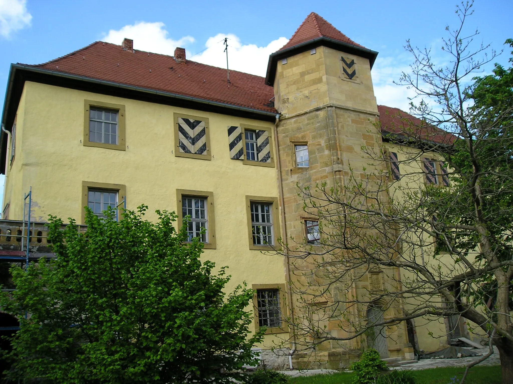
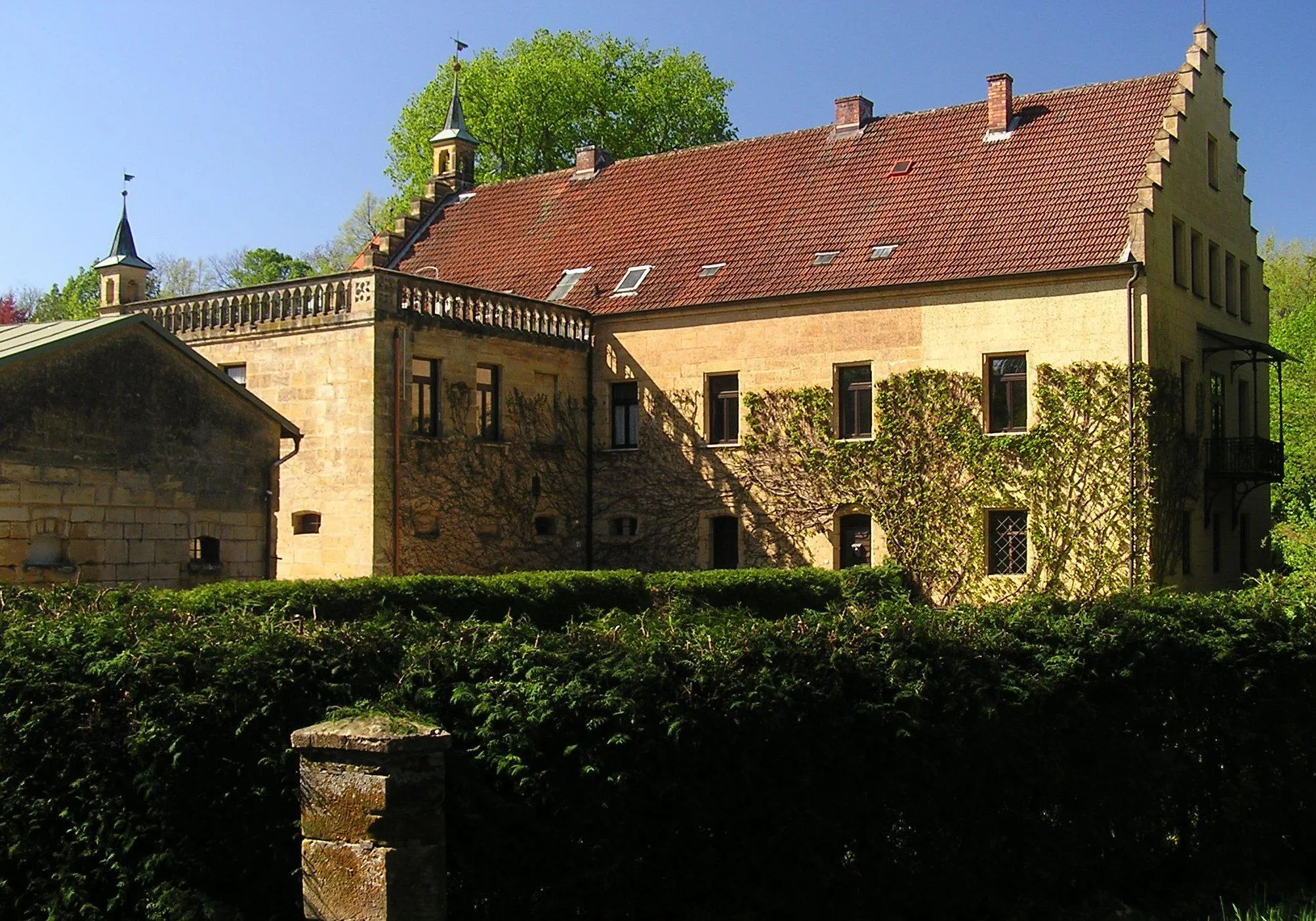
Eberhardsberg533 mPeakMake a pit-stop at Eberhardsberg Castle, known for its rich history and breathtaking views.
5 km
5 km
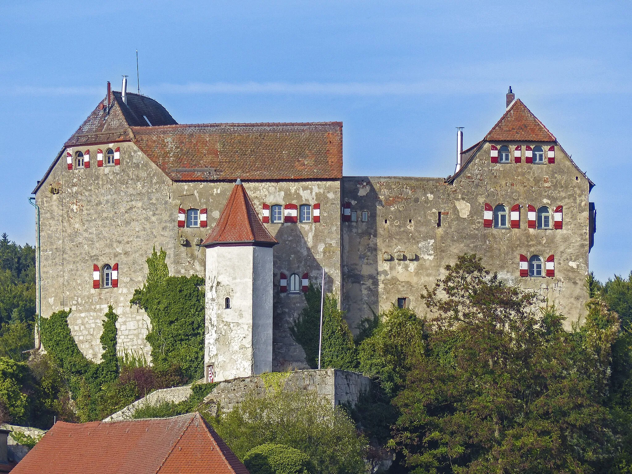
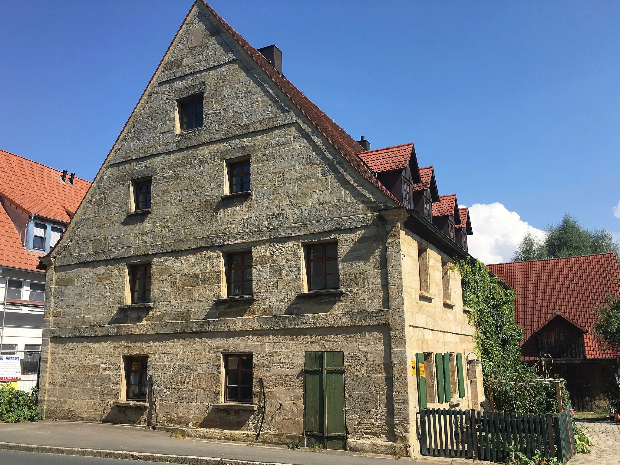
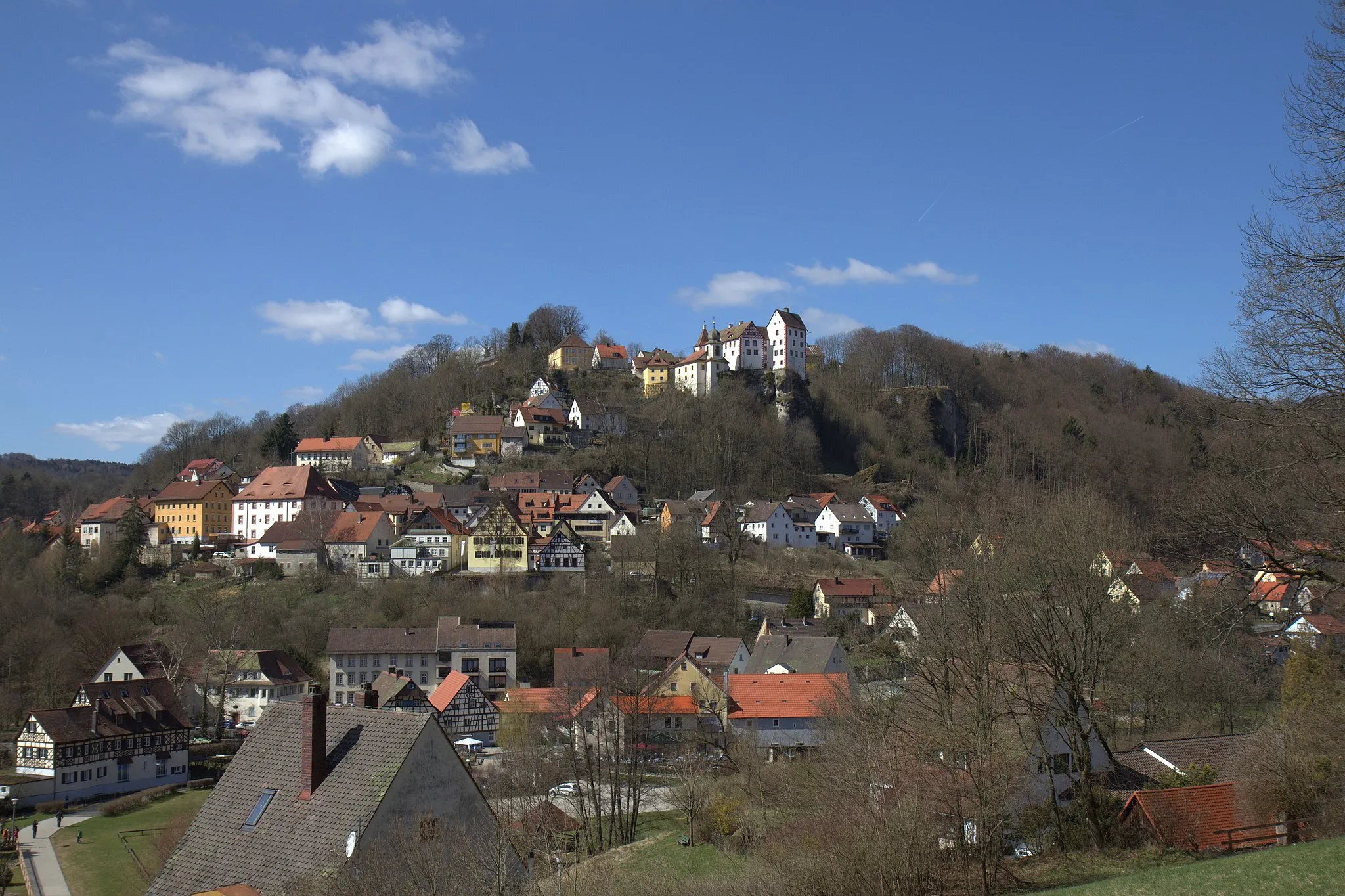
GräfenbergTownDiscover Gräfenberg, a charming village with its own medieval castle and traditional Franconian architecture.
18 km
18 km
Zwerchenberg550 mPeakPause at Zwerchenberg and enjoy the peaceful ambiance of this small hilltop settlement.
23 km
23 km
SteinensittenbachVillageImmerse yourself in the beauty of Steinensittenbach, a scenic village surrounded by idyllic nature.
33 km
33 km
Michelsberg435 mPeak ViewpointExperience the iconic Michelsberg, steeped in history and offering panoramic views of the region.
37 km
37 km
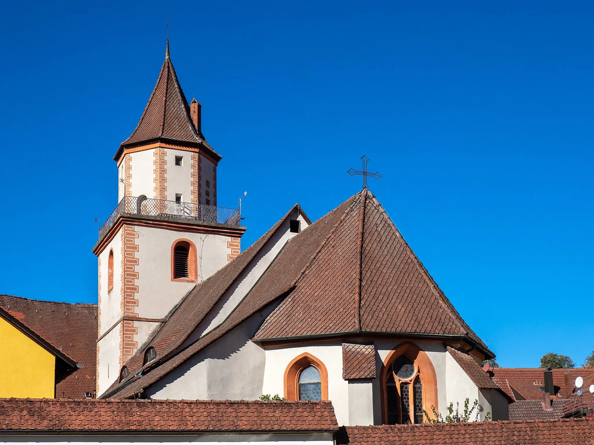
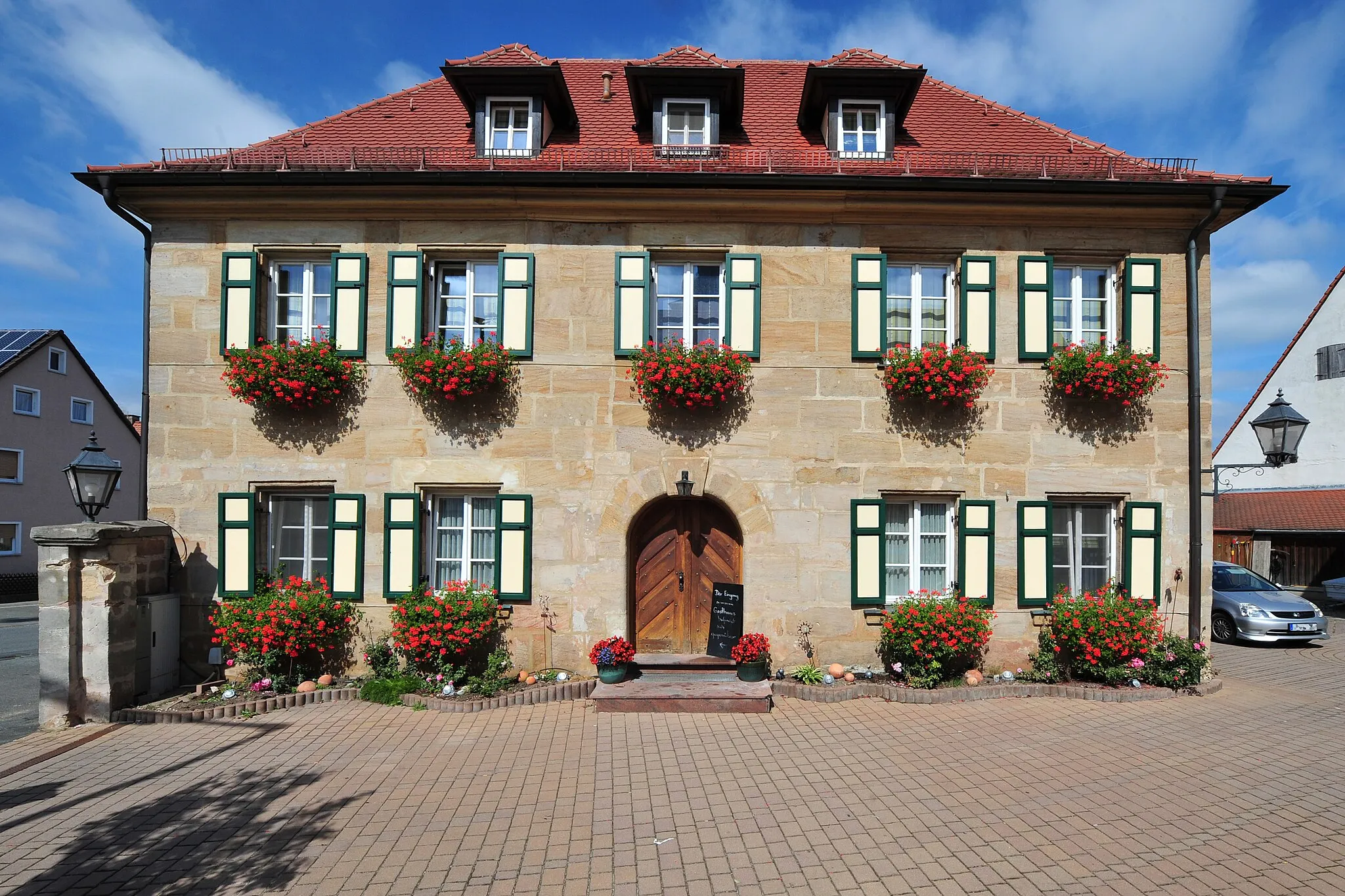
ReichenschwandVillageReichenschwand awaits with its charming Bavarian atmosphere and a prominent church dominating the town square.
48 km
48 km
SimonshofenVillagePass by Simonshofen, a quintessential Franconian hamlet showcasing rural beauty.
61 km
61 km
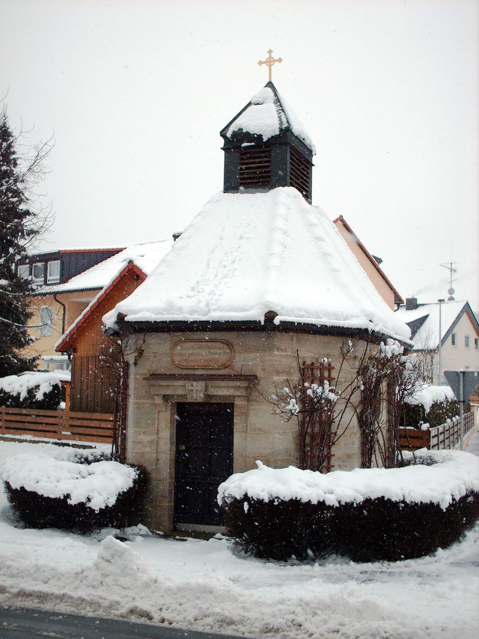
DachstadtVillageDachstadt showcases traditional half-timbered houses and provides a glimpse into the region's architectural heritage.
61 km
61 km
Finish: Dachstadt Village centerIgensdorf: Cycling Paradise in Oberfranken, Germany
Cycling routes from Igensdorf:
Cycling routes nearby: