Simmelsdorf Loop
A road cycling route starting from Igensdorf
Explore the charming Simmelsdorf loop cycling route near Igensdorf
Map
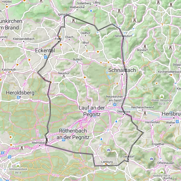
The Simmelsdorf Loop is a scenic cycling route near Igensdorf that offers breathtaking views and diverse landscapes. With a total ascent of 635 meters and a distance of 63 kilometers, this route is suitable for well-trained amateur cyclists. The route takes you through picturesque villages and rural areas, allowing you to experience the beauty of Oberfranken's countryside.
road
63 km
635 m
Tough
Route profile
Highlights on the route
0 km
0 km
Start: Igensdorf Village centerIgensdorf: Cycling Paradise in Oberfranken, Germany
Igensdorf, located in Oberfranken, Germany, offers a great cycling experience with its beautiful scenery and well-maintained roads. As a road and gravel cyclist, you will enjoy riding through the picturesque countryside, passing by lush forests, rolling hills, and quaint villages. The locality also offers various routes for different fitness levels, from leisurely rides to more challenging climbs. One of the well-known cycling spots nearby is the Franconian Switzerland Nature Park, which offers stunning landscapes and famous climbs like the Osserberg. Overall, Igensdorf is a cyclist's paradise with diverse terrain and plenty of opportunities for exploration.10 km
10 km
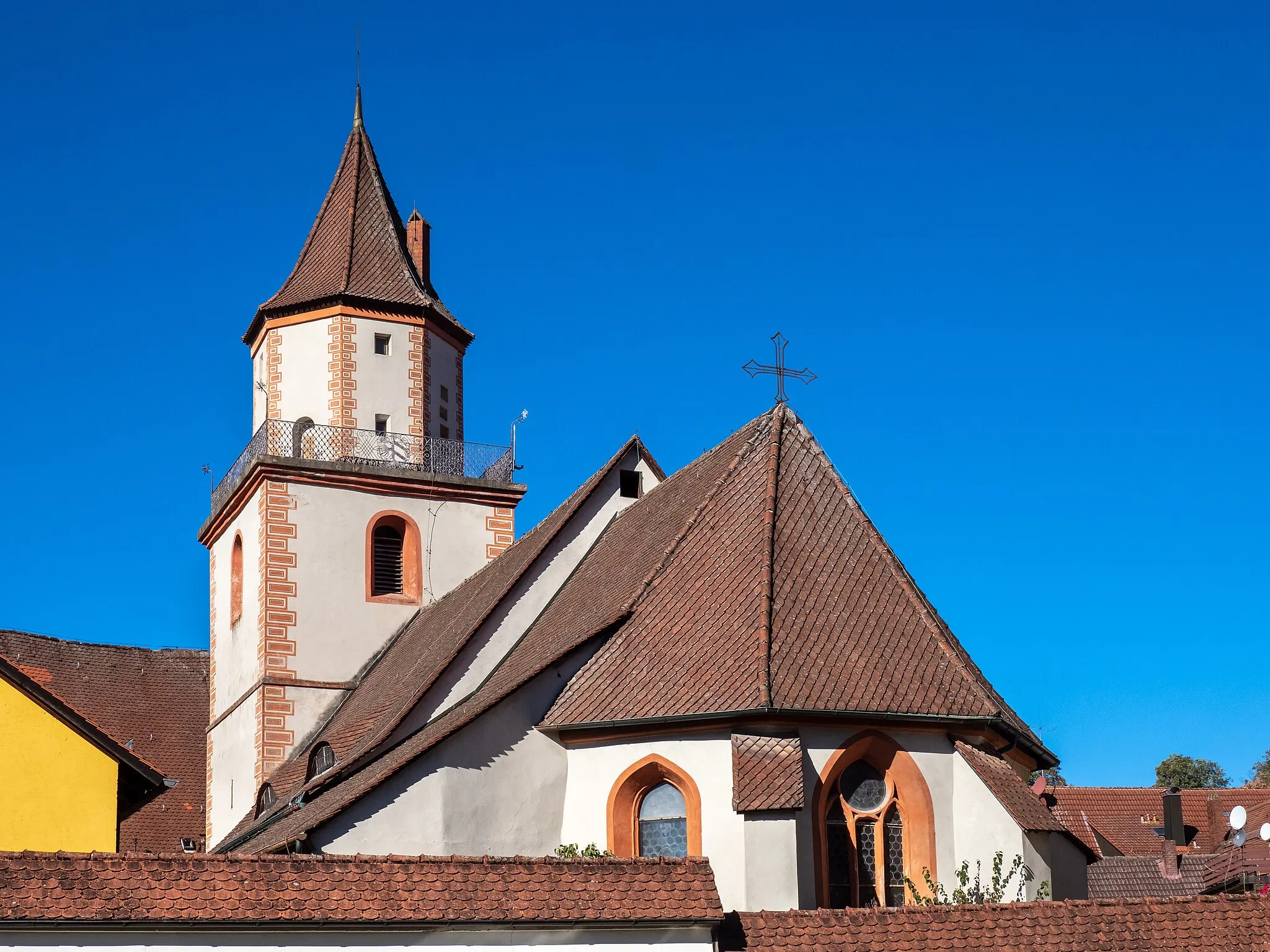
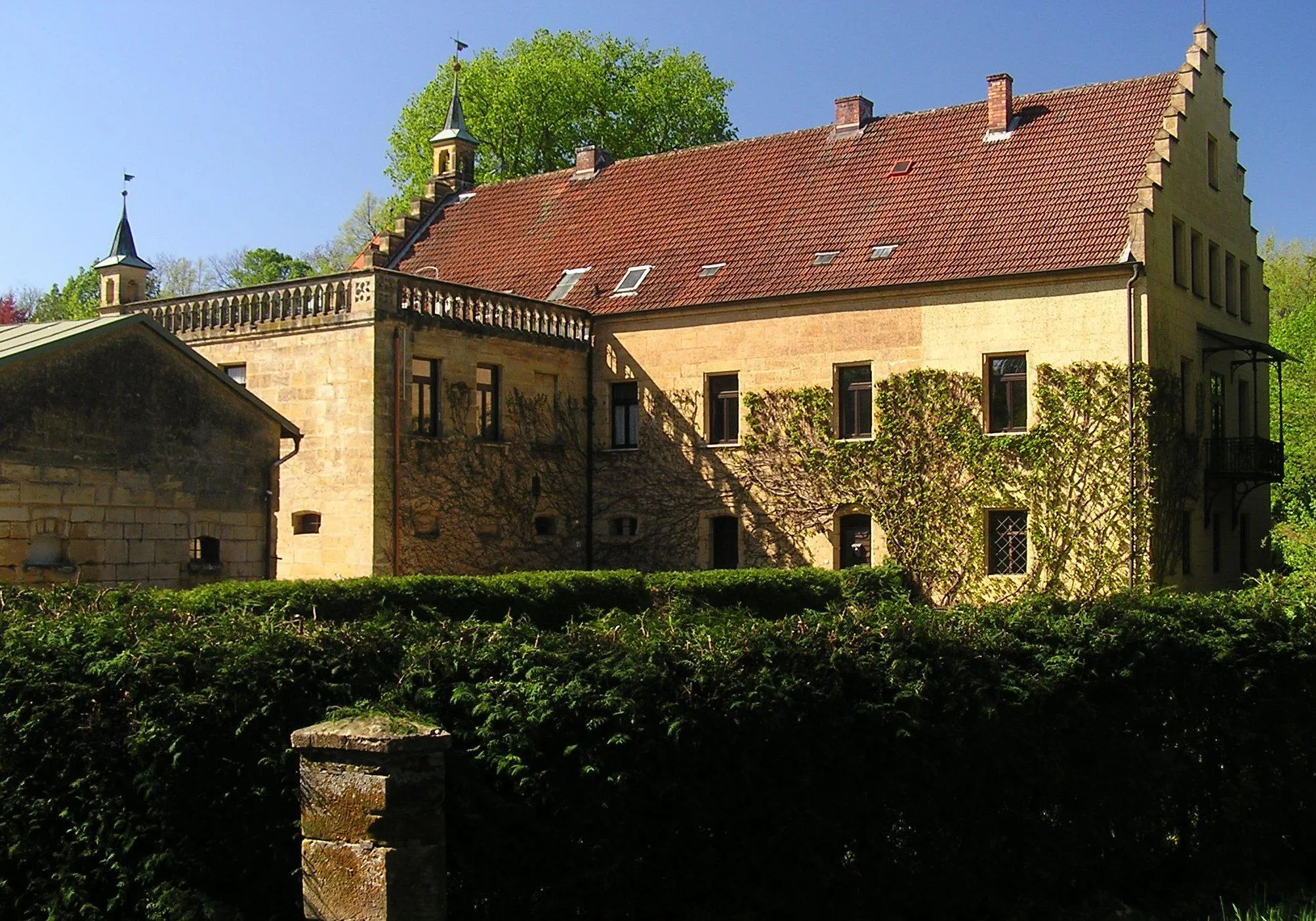
SimmelsdorfVillageLocated at a distance of 10 kilometers from the start, Simmelsdorf is a charming village known for its traditional architecture and quaint streets. Take a break here and explore the local shops and cafes.
21 km
21 km
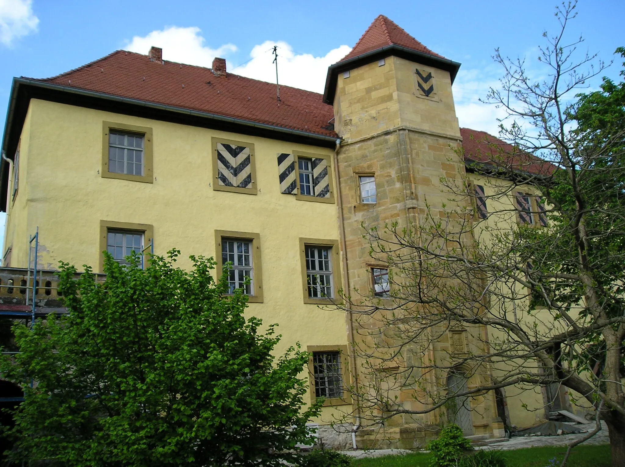
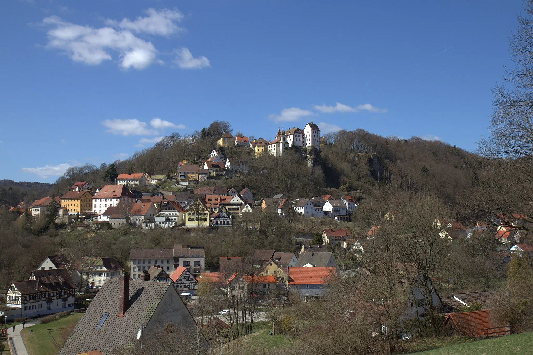
OttensoosVillageOttensoos is a small town located along the route, approximately 21 kilometers from the start. It is home to the historic Ottensoos Castle, which dates back to the 12th century. Make a stop here to admire this architectural gem.
32 km
32 km
Weißenbrunn-BlickViewpointWeißenbrunn-Blick offers a stunning viewpoint that overlooks the Weißenbrunn reservoir. Located 32 kilometers from the start, it is worth the climb for the breathtaking panoramic views of the surrounding countryside.
33 km
33 km
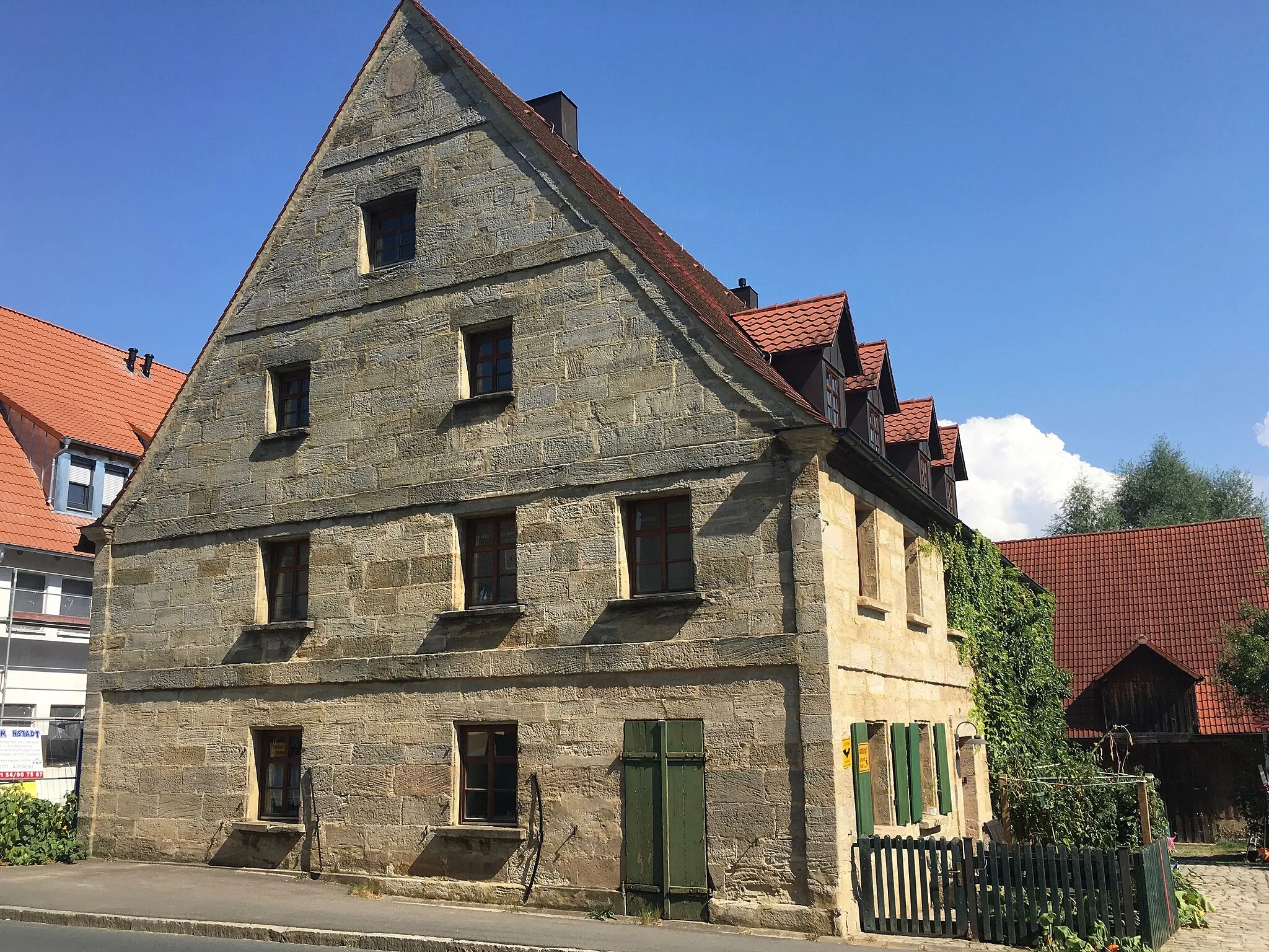
LeinburgVillageLeinburg is a picturesque village situated approximately 33 kilometers from the start. It is known for its charming half-timbered houses and is a great place to take a short break.
44 km
44 km
BehringersdorfSub-urbBehringersdorf is a historical village located 44 kilometers from the start. It is home to the beautiful St. James Church, which dates back to the 15th century. Stop here to admire the architectural details.
46 km
46 km
Sommerleite367 mPeakSommerleite is a peaceful forest area along the route, offering a refreshing change of scenery. Take some time to enjoy the tranquility and reconnect with nature.
51 km
51 km
Kurze Leite439 mPeakKurze Leite is a small hill located approximately 51 kilometers from the start. While it may not be a challenging climb, it offers a rewarding view of the surrounding countryside.
57 km
57 km
EckentalTownEckental is the final highlight on this route, located 57 kilometers from the start. It is a vibrant town with a lively atmosphere, offering various dining options to refuel after the ride.
63 km
63 km
Finish: Igensdorf Village centerIgensdorf: Cycling Paradise in Oberfranken, Germany
Cycling routes from Igensdorf:
Cycling routes nearby: