Franconian Gravel Adventure
A gravel cycling route starting from Igensdorf
Experience the thrill of the Franconian Gravel Adventure
Map

The Franconian Gravel Adventure is an exciting 76-kilometer route near Igensdorf that offers gravel bikers a challenging and rewarding experience. With an ascent of 1443 meters, this route is suitable for experienced off-road cyclists. Highlights along the route include the scenic town of Gräfenberg, the breathtaking Schöne Aussicht viewpoint, and the picturesque village of Plech. Participants will have the opportunity to navigate through various terrain types, including gravel paths and forest trails. The Franconian Gravel Adventure showcases the natural beauty and rural charm of the Franconian Switzerland region.
gravel
76 km
1443 m
Savage
Route profile
Highlights on the route
0 km
0 km
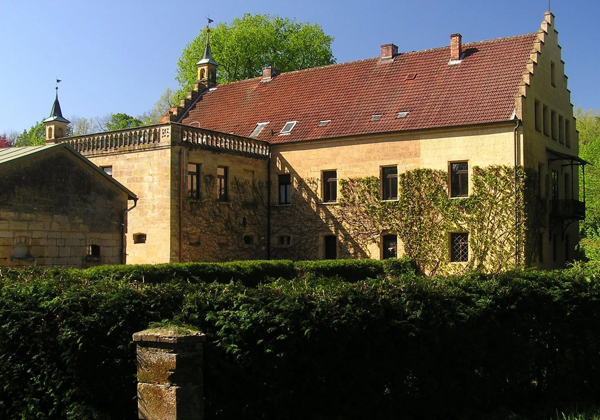
Start: Igensdorf Village centerIgensdorf: Cycling Paradise in Oberfranken, Germany
Igensdorf, located in Oberfranken, Germany, offers a great cycling experience with its beautiful scenery and well-maintained roads. As a road and gravel cyclist, you will enjoy riding through the picturesque countryside, passing by lush forests, rolling hills, and quaint villages. The locality also offers various routes for different fitness levels, from leisurely rides to more challenging climbs. One of the well-known cycling spots nearby is the Franconian Switzerland Nature Park, which offers stunning landscapes and famous climbs like the Osserberg. Overall, Igensdorf is a cyclist's paradise with diverse terrain and plenty of opportunities for exploration.3 km
3 km
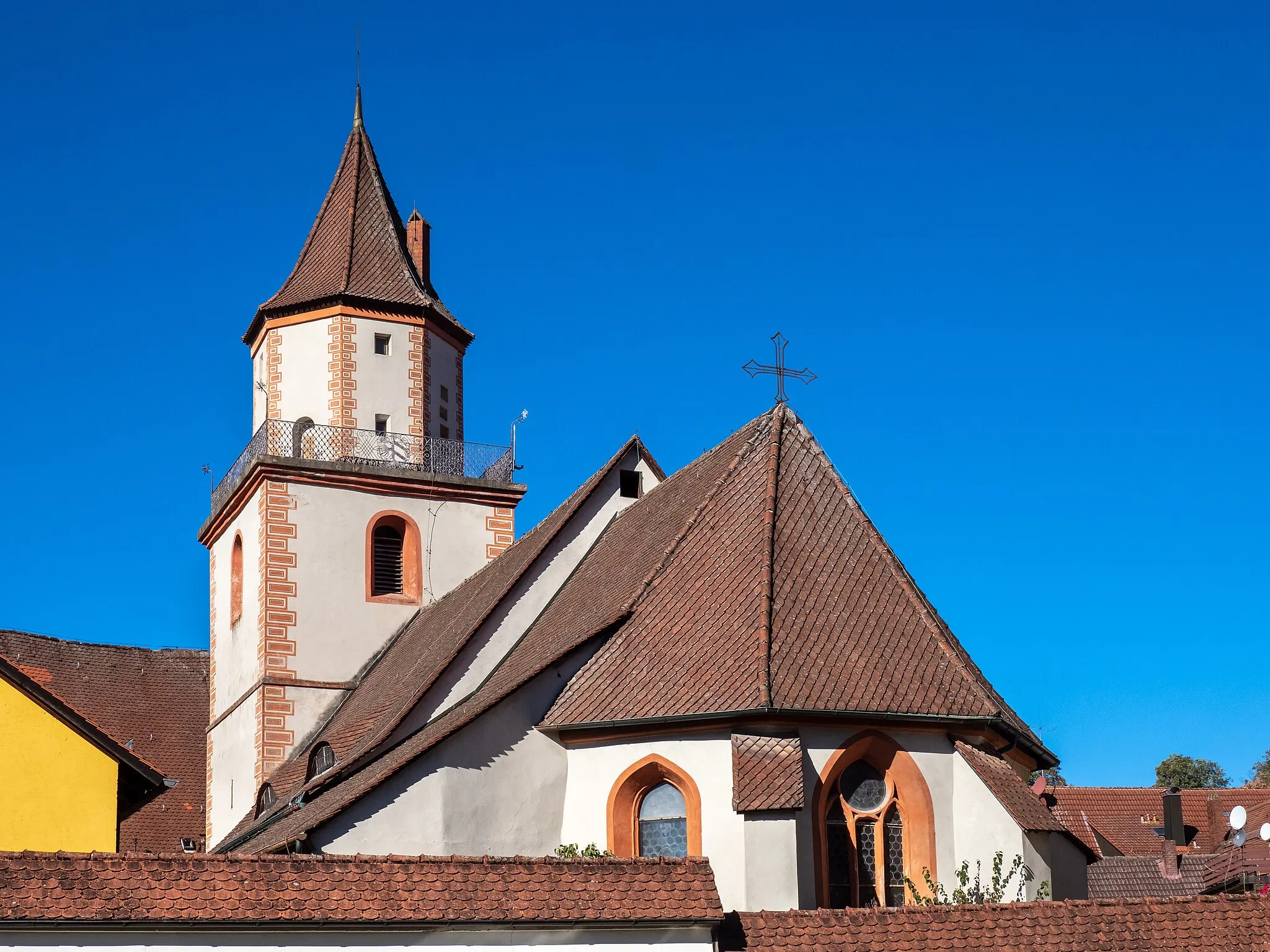
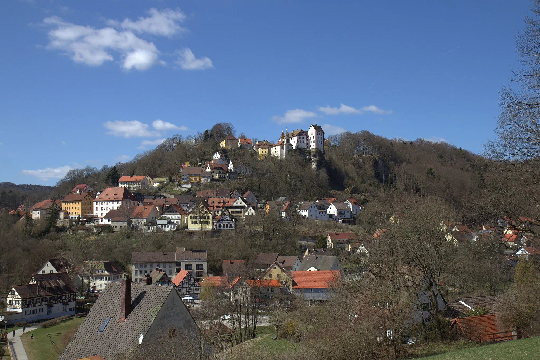
GräfenbergTownGräfenberg is a small town known for its picturesque old town and traditional architecture.
12 km
12 km
Arzberg575 mPeakArzberg is a hilltop village with stunning views of the surrounding hills and valleys.
21 km
21 km
Schöne AussichtViewpointSchöne Aussicht is a viewpoint offering panoramic vistas of the Franconian Switzerland region.
27 km
27 km
ElbersbergVillageElbersberg is a charming hamlet surrounded by dense forests and rolling hills.
35 km
35 km
Wacholderberg546 mPeakWacholderberg is a hill known for its abundance of juniper trees and scenic trails.
50 km
50 km
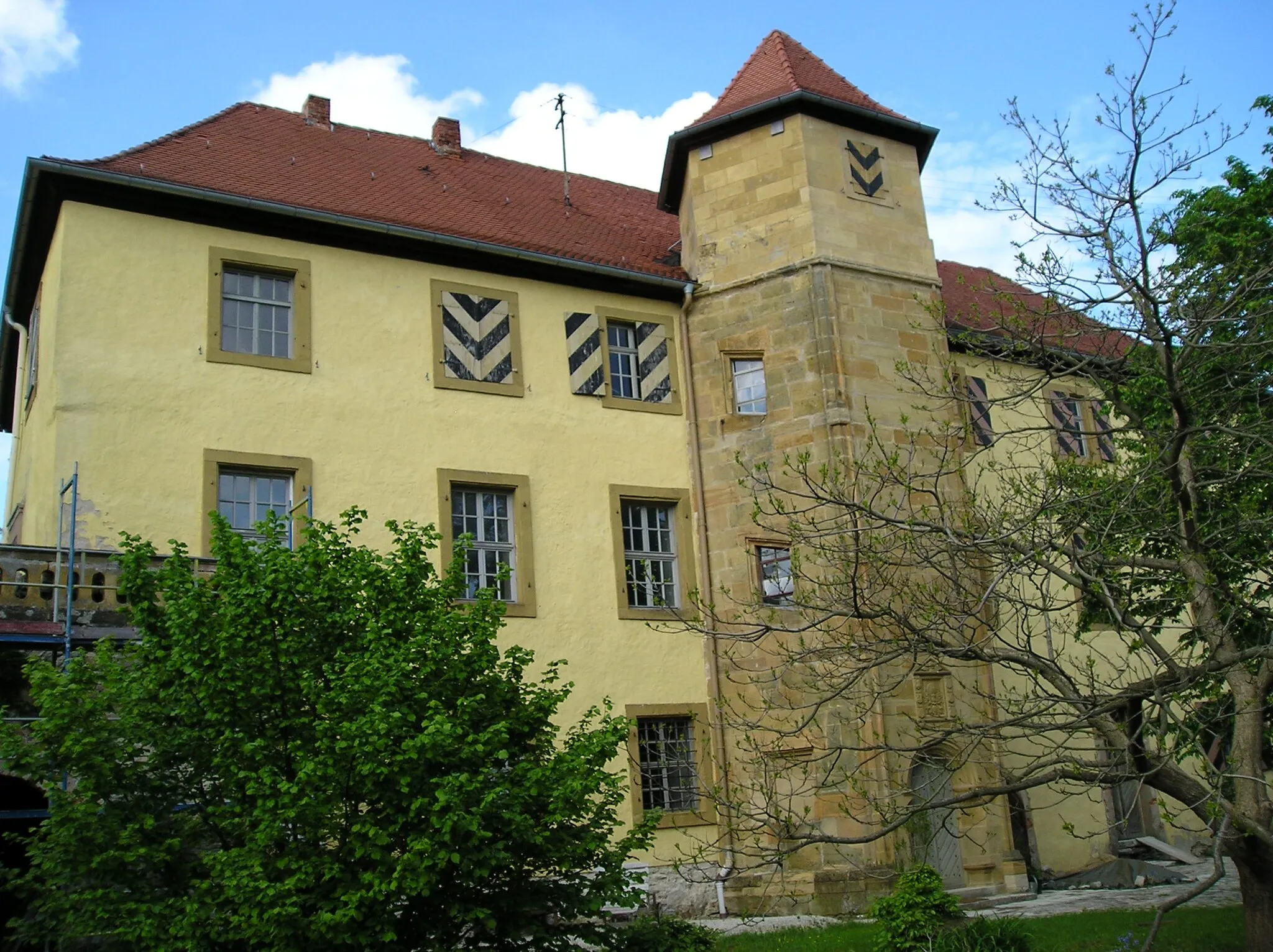
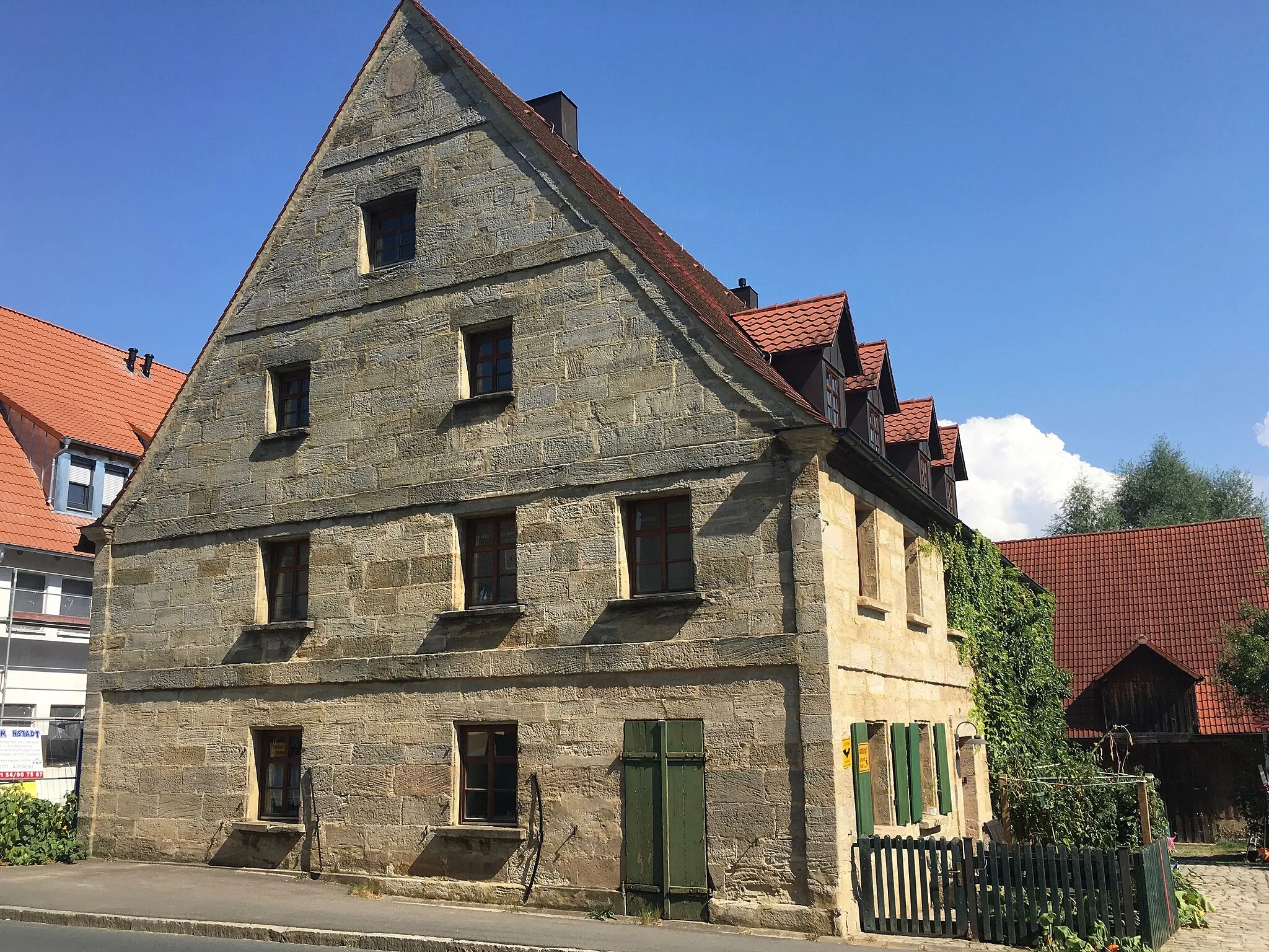
PlechVillagePlech is a picturesque village with half-timbered houses and impressive medieval fortifications.
60 km
60 km
Lattenberg535 mPeakLattenberg is a hill with stunning views of the Franconian Switzerland region.
64 km
64 km
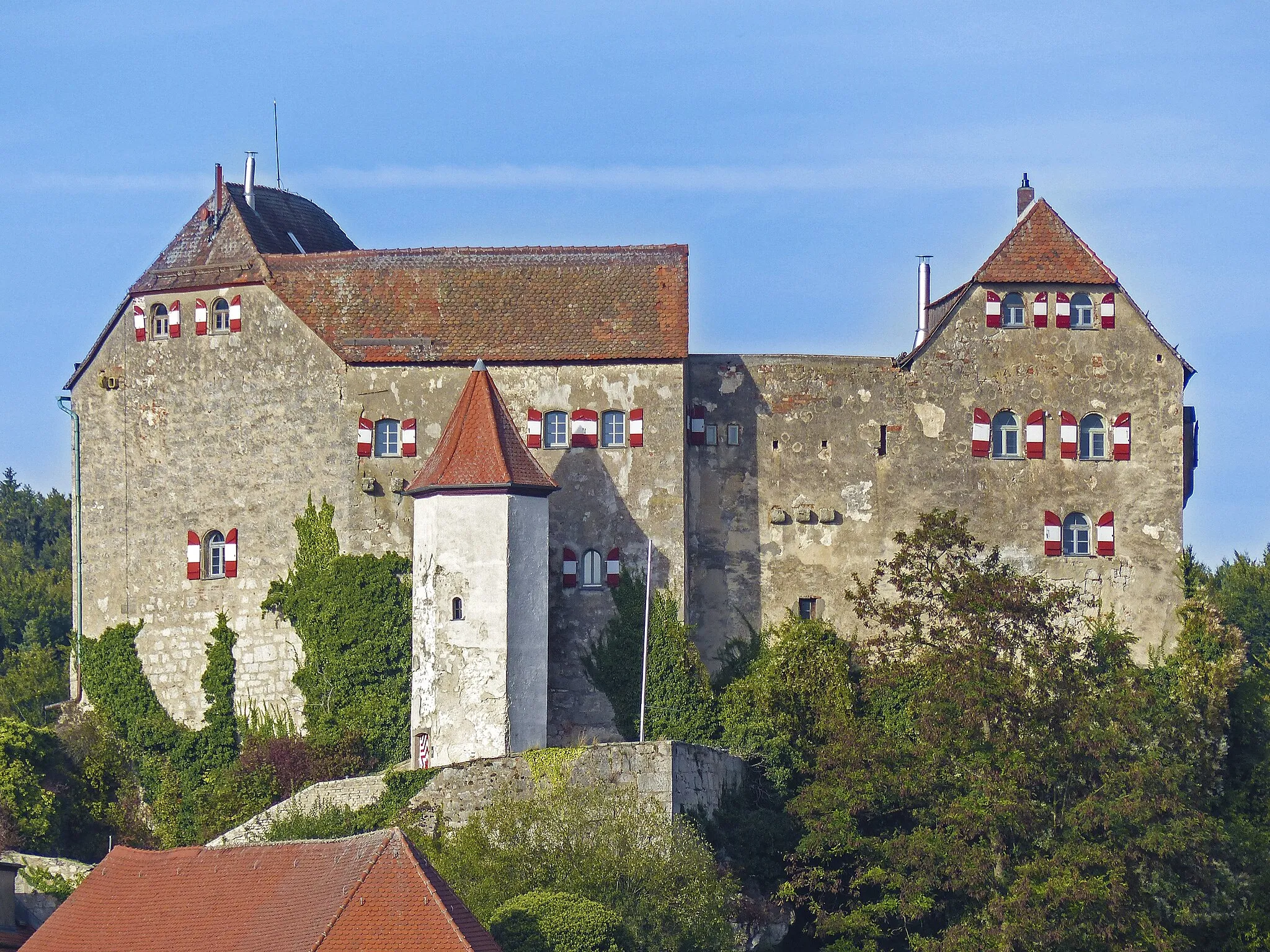
SimmelsdorfVillageSimmelsdorf is a tranquil village surrounded by beautiful nature and historic charm.
71 km
71 km
OedhofVillageOedhof is a peaceful hamlet with idyllic surroundings and rolling meadows.
76 km
76 km
Finish: Igensdorf Village centerIgensdorf: Cycling Paradise in Oberfranken, Germany
Cycling routes from Igensdorf:
Cycling routes nearby: