Gravel Adventure through Franconian Nature
A gravel cycling route starting from Igensdorf
Embark on an off-road expedition through the diverse landscapes surrounding Igensdorf.
Map
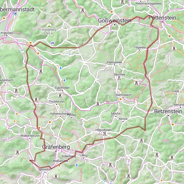
This gravel cycling route covers a distance of 65 km with a challenging ascent of 1358 m. Prepare for an adventure as you explore the picturesque countryside and enjoy the tranquility of nature. Discover highlights such as the historic Haidhof, which offers scenic views and a glimpse into local culture. Stop by Brand and take in the breathtaking scenery from one of the region's most beautiful viewpoints.
gravel
65 km
1358 m
Savage
Route profile
Highlights on the route
0 km
0 km
Start: Letten Village centerIgensdorf: Cycling Paradise in Oberfranken, Germany
Igensdorf, located in Oberfranken, Germany, offers a great cycling experience with its beautiful scenery and well-maintained roads. As a road and gravel cyclist, you will enjoy riding through the picturesque countryside, passing by lush forests, rolling hills, and quaint villages. The locality also offers various routes for different fitness levels, from leisurely rides to more challenging climbs. One of the well-known cycling spots nearby is the Franconian Switzerland Nature Park, which offers stunning landscapes and famous climbs like the Osserberg. Overall, Igensdorf is a cyclist's paradise with diverse terrain and plenty of opportunities for exploration.8 km
8 km
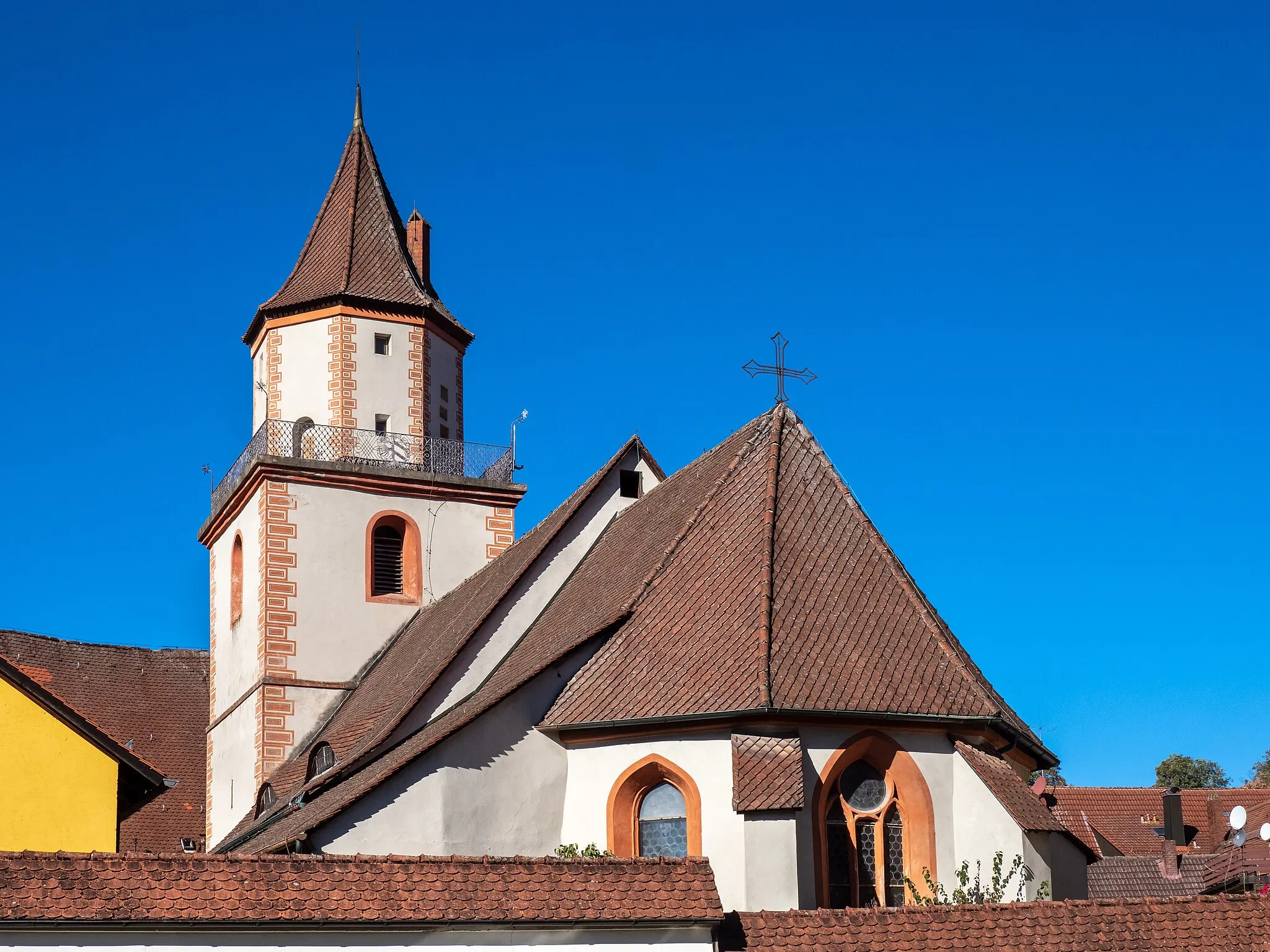
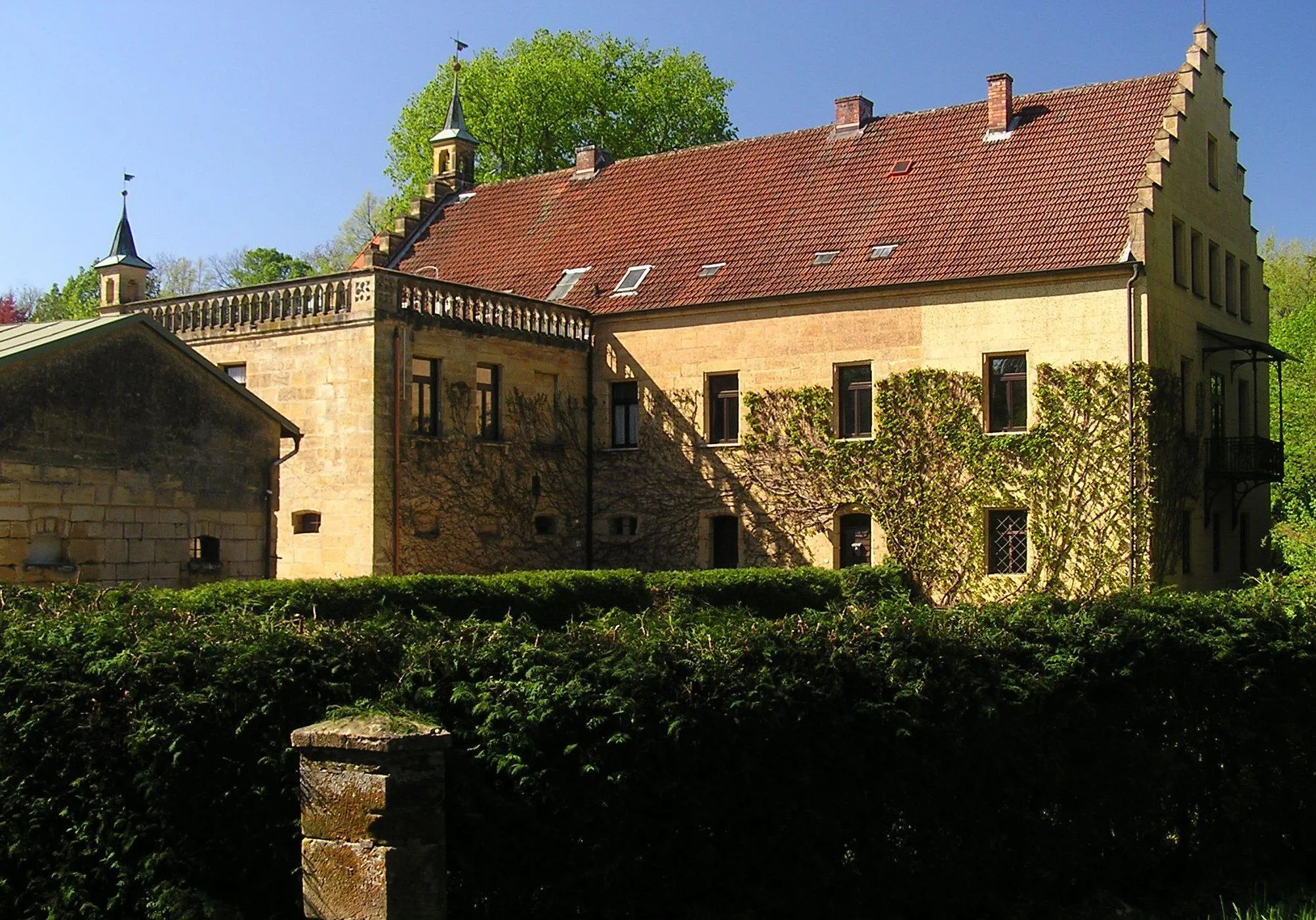
HaidhofVillageMarvel at the historical Haidhof, known for its architectural beauty and panoramic vistas.
14 km
14 km
Brand540 mPeakVisit Brand, a renowned viewpoint providing stunning scenery and photo opportunities.
27 km
27 km
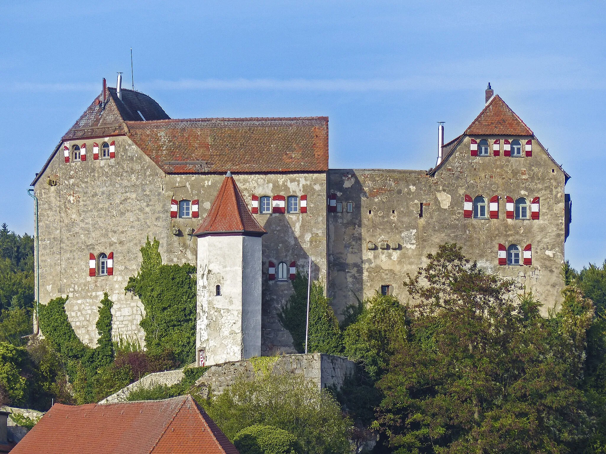
JohannisburgViewpointExplore Johannisburg, a medieval fortress offering a glimpse into the region's rich history.
27 km
27 km
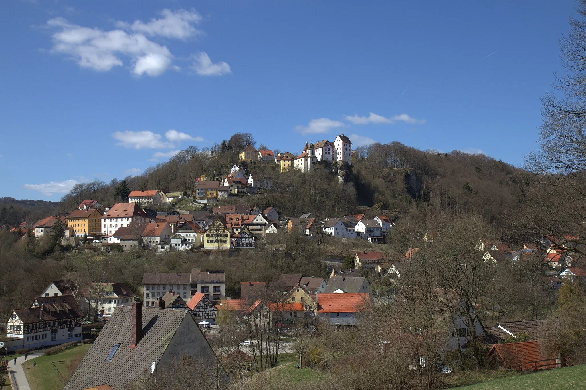
GößweinsteinTownGößweinstein boasts the famous Basilica and offers breathtaking views of the surrounding landscape.
33 km
33 km
Burg PottensteinCastleBurg Pottenstein, a well-preserved castle with a rich past, awaits your discovery.
38 km
38 km
Schöne AussichtViewpointTake a break at Schöne Aussicht and soak in the stunning panoramic vistas.
48 km
48 km
Langenberg610 mPeakExperience Langenberg and its tranquil ambiance, where carefree moments can be enjoyed.
53 km
53 km
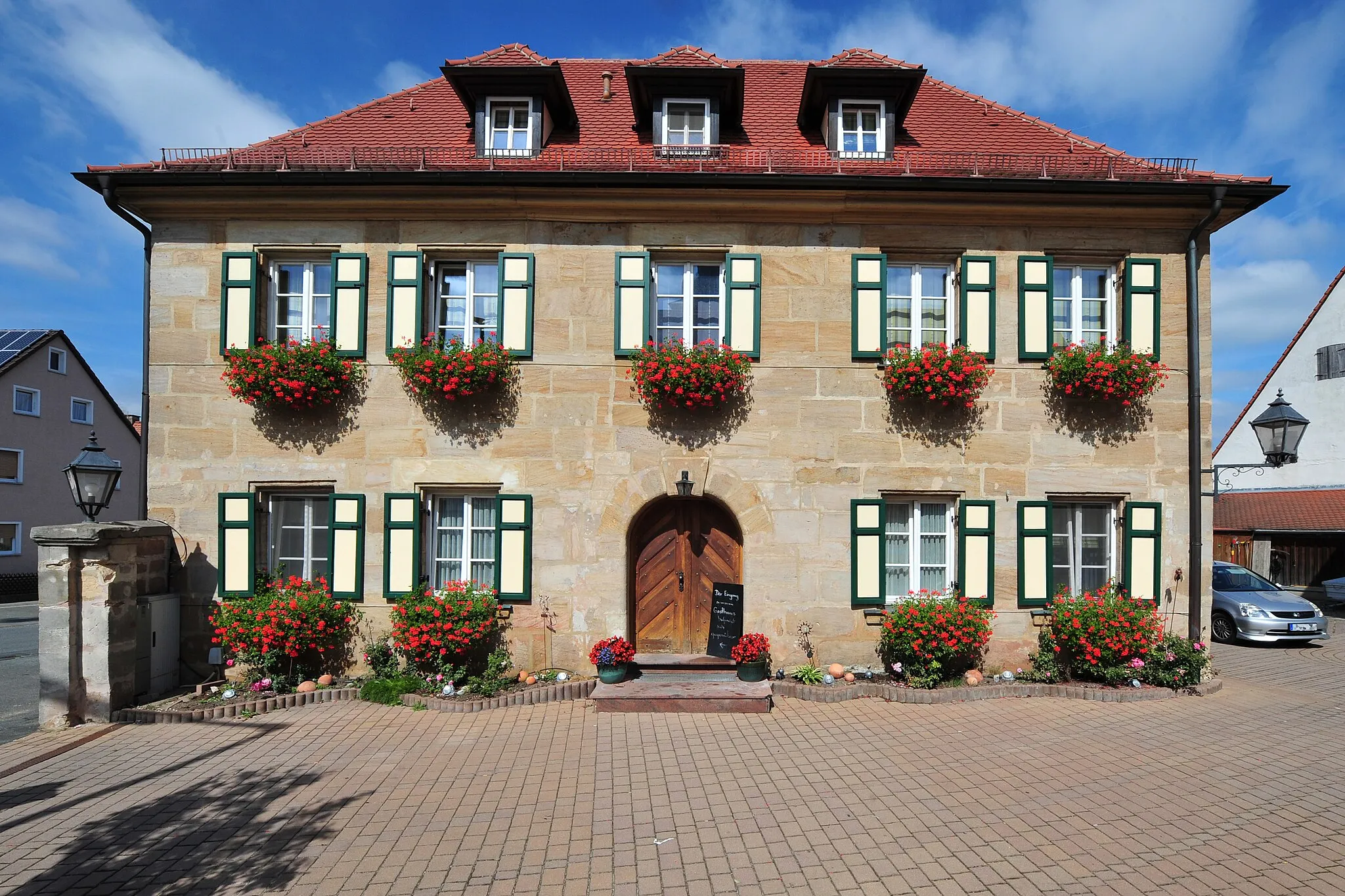
HiltpoltsteinVillageExperience the uphill challenges of Hiltpoltstein, a legendary climb in the region.
60 km
60 km
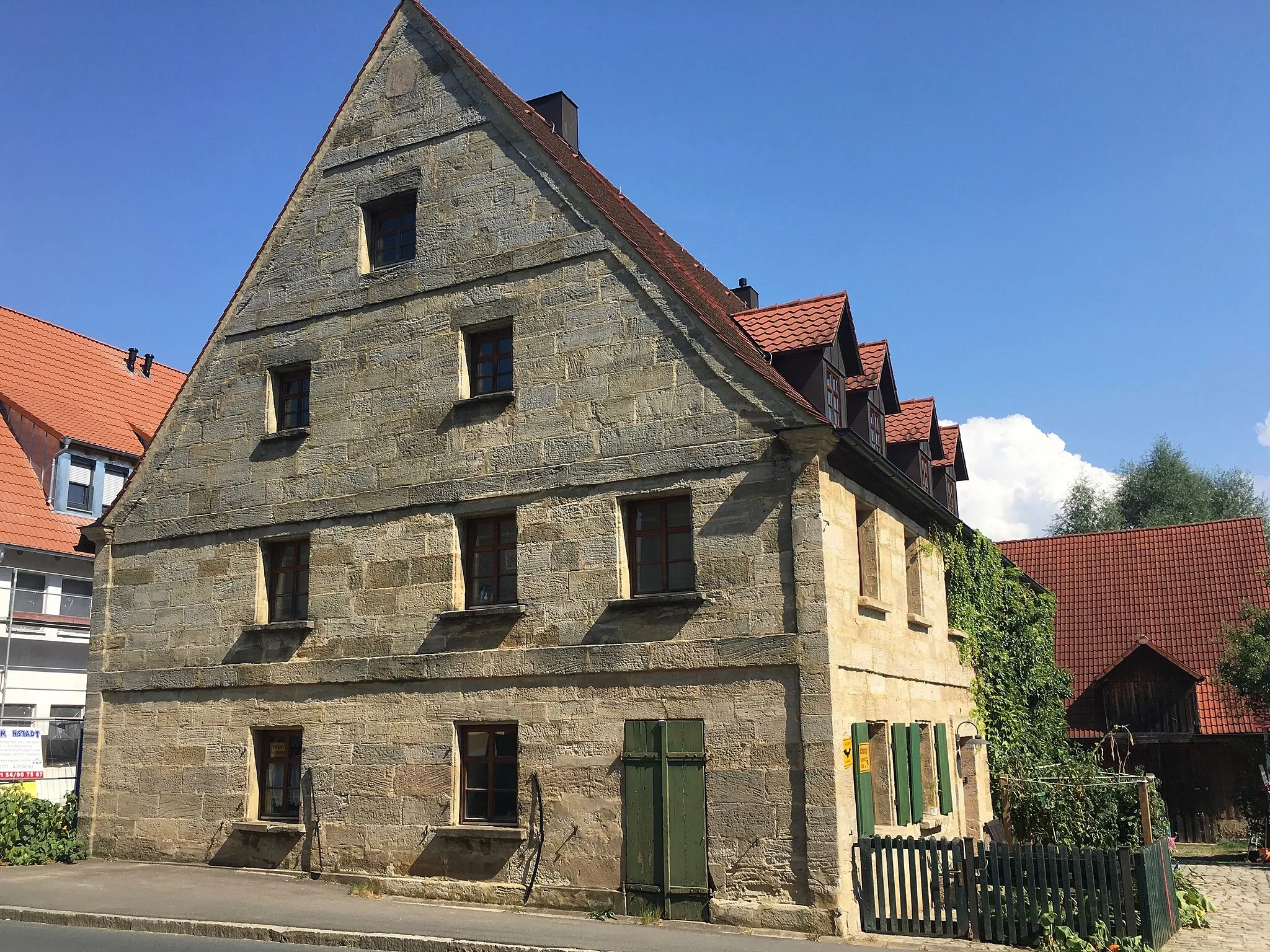
WeißenoheVillageVisit Weißenohe, a charming Franconian village known for its medieval flair and traditional beer brewing.
63 km
63 km
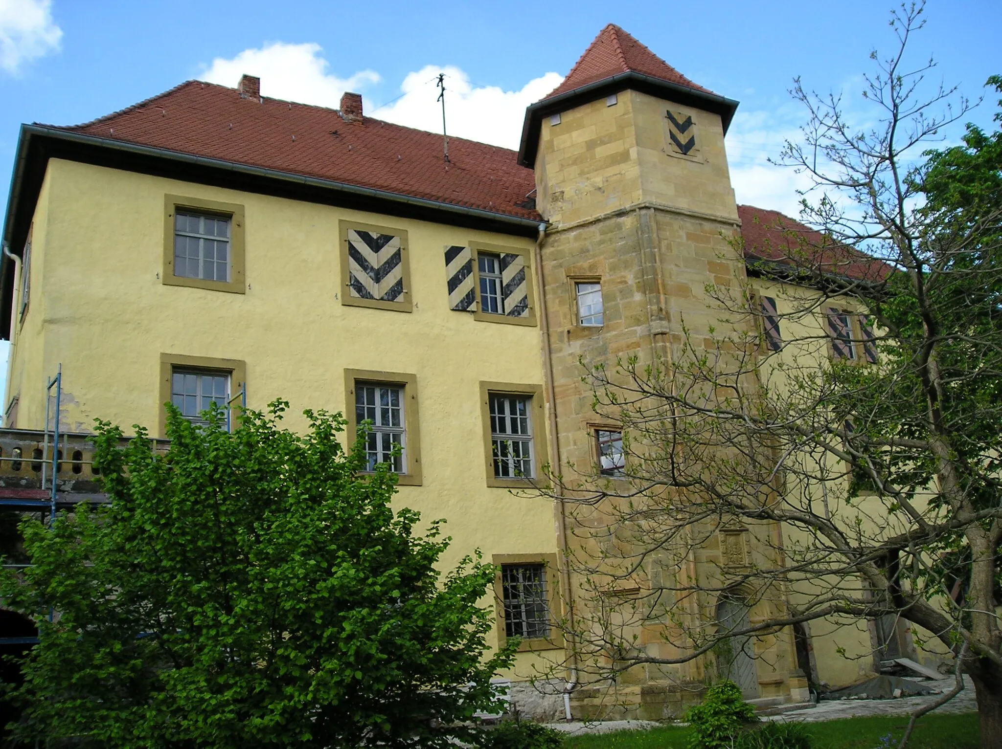
Eberhardsberg533 mPeakReturn to the historic Eberhardsberg Castle, the perfect finale to your outstanding gravel adventure.
65 km
65 km
Finish: Letten Village centerIgensdorf: Cycling Paradise in Oberfranken, Germany
Cycling routes from Igensdorf:
Cycling routes nearby: