Exploratory Gravel Adventure
A gravel cycling route starting from Igensdorf
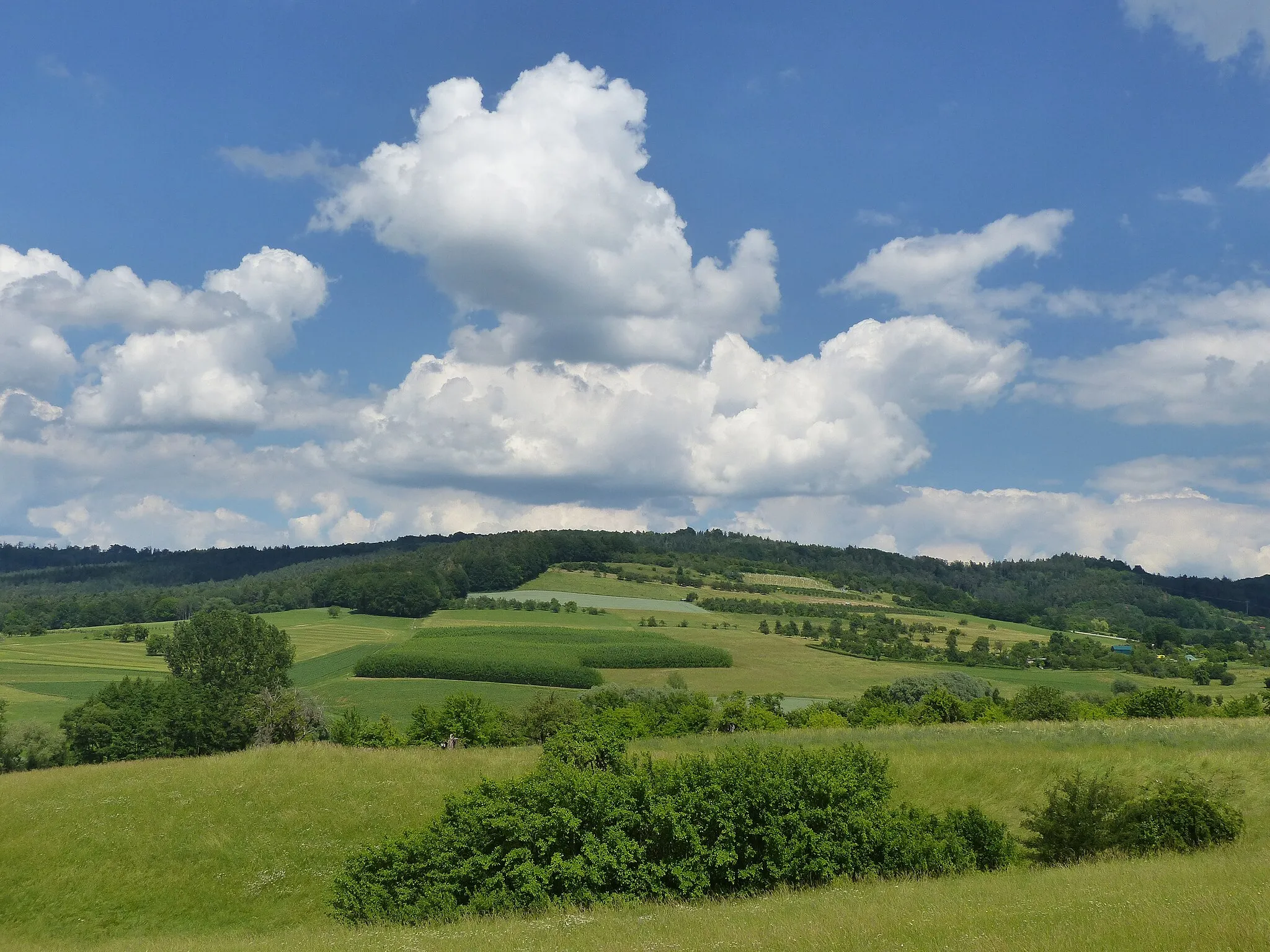
Embark on a memorable gravel adventure through the rolling landscapes surrounding Igensdorf.
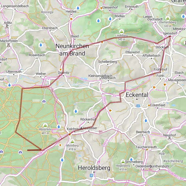
Map
This gravel cycling route covers a distance of 37 km, with a manageable ascent of 380 m. Escape the crowds and delve into the tranquility of nature while venturing through charming villages and captivating scenery. Highlights include Kalchreuth, known for its majestic manor, and the tranquil beauty of Mistelberg.
gravel
37 km
380 m
Tough
Route profile
Highlights on the route
0 km
0 km
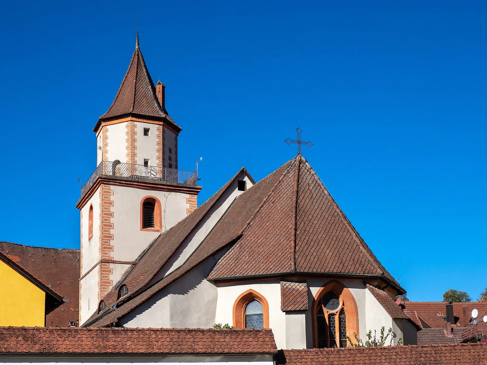
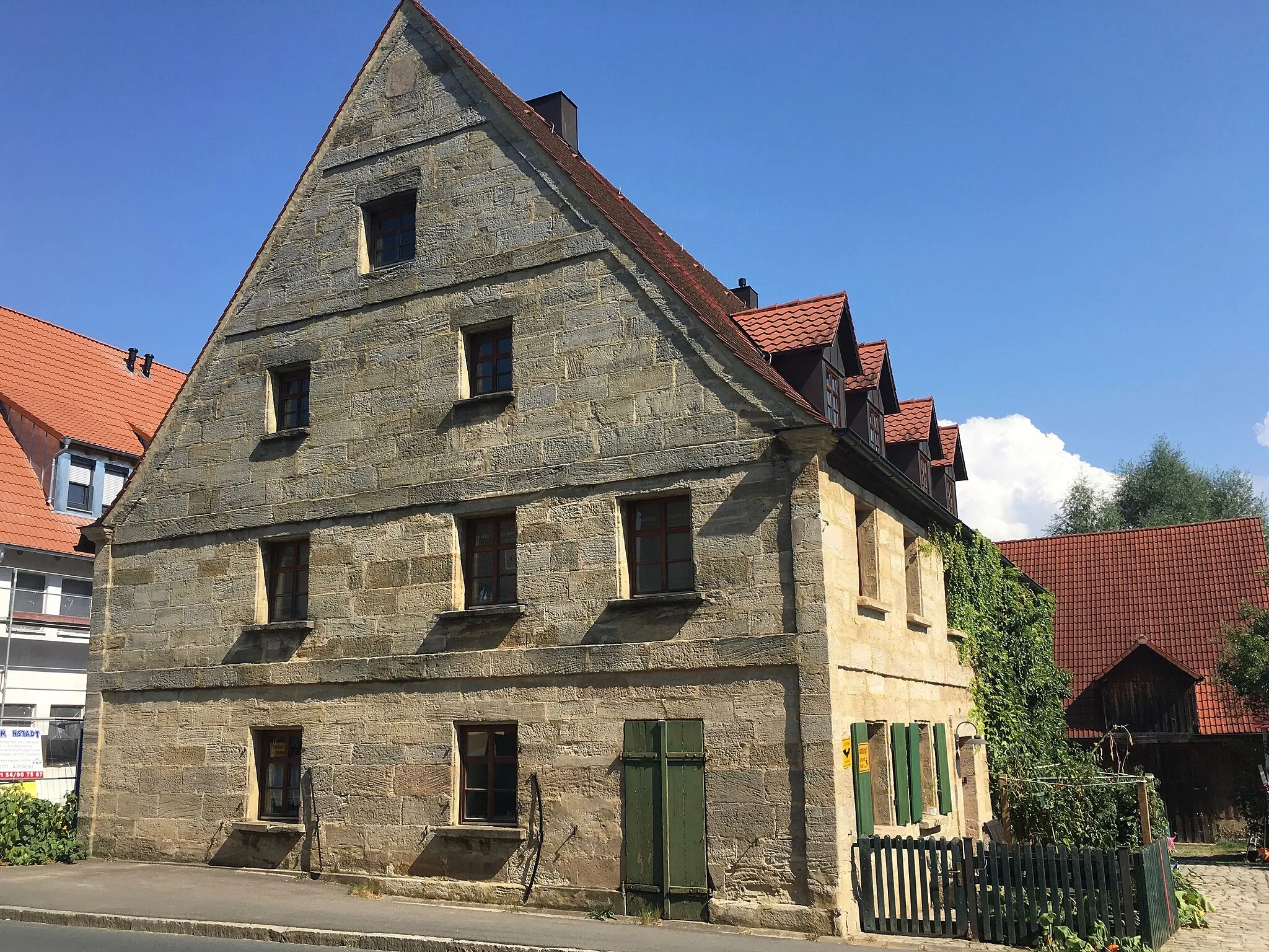
Start: Igensdorf Village centerIgensdorf: Cycling Paradise in Oberfranken, Germany
Igensdorf, located in Oberfranken, Germany, offers a great cycling experience with its beautiful scenery and well-maintained roads. As a road and gravel cyclist, you will enjoy riding through the picturesque countryside, passing by lush forests, rolling hills, and quaint villages. The locality also offers various routes for different fitness levels, from leisurely rides to more challenging climbs. One of the well-known cycling spots nearby is the Franconian Switzerland Nature Park, which offers stunning landscapes and famous climbs like the Osserberg. Overall, Igensdorf is a cyclist's paradise with diverse terrain and plenty of opportunities for exploration.12 km
12 km
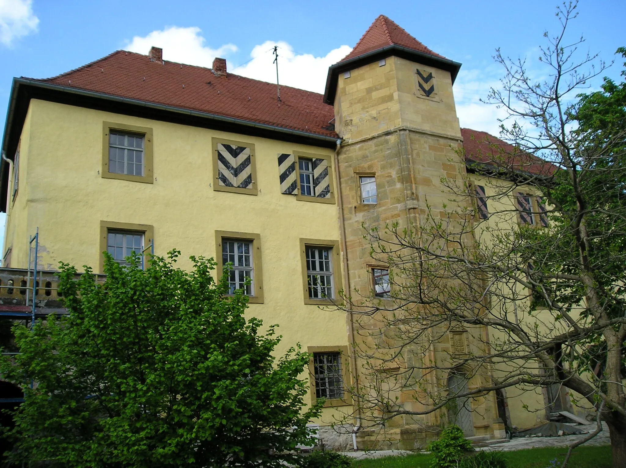
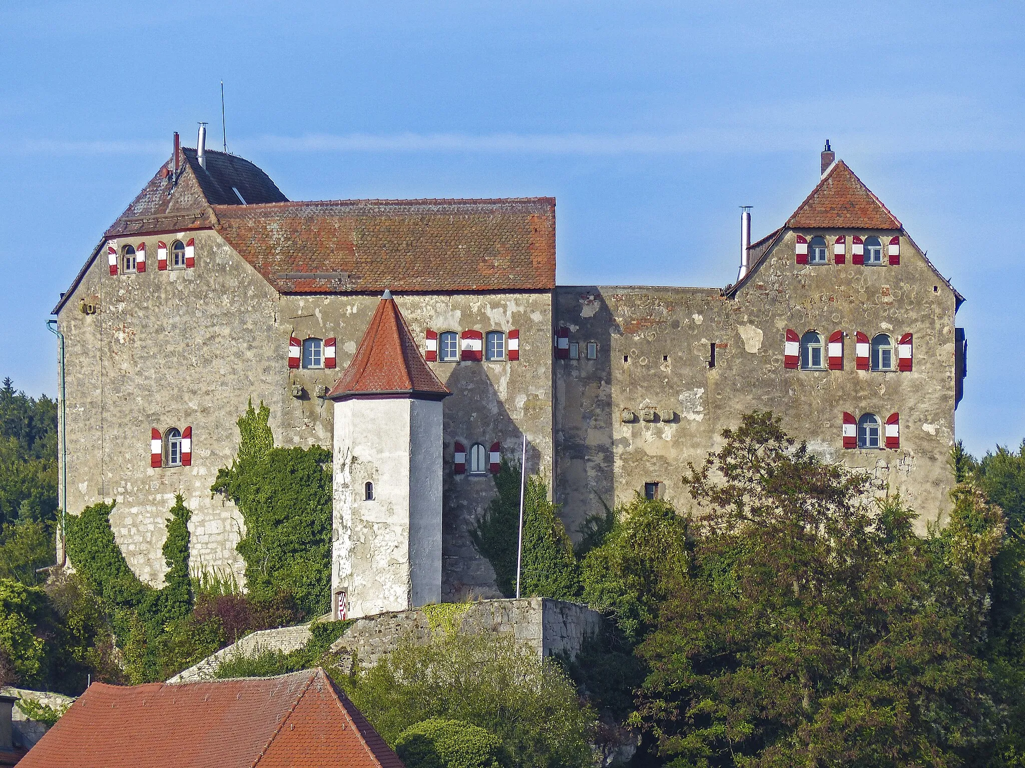
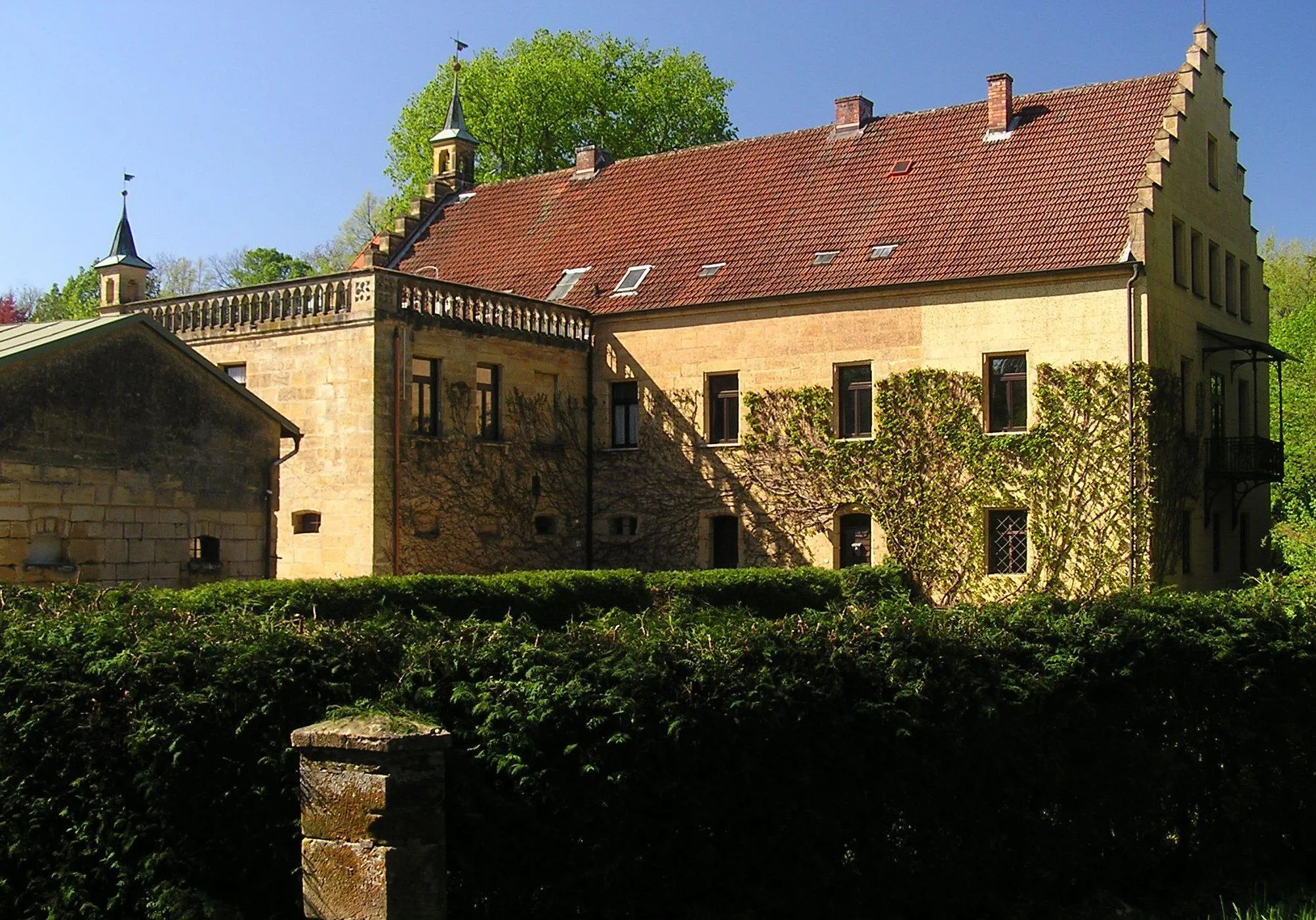
KalchreuthVillageDiscover Kalchreuth, a quaint Franconian village, and marvel at its impressive manor house.
13 km
13 km
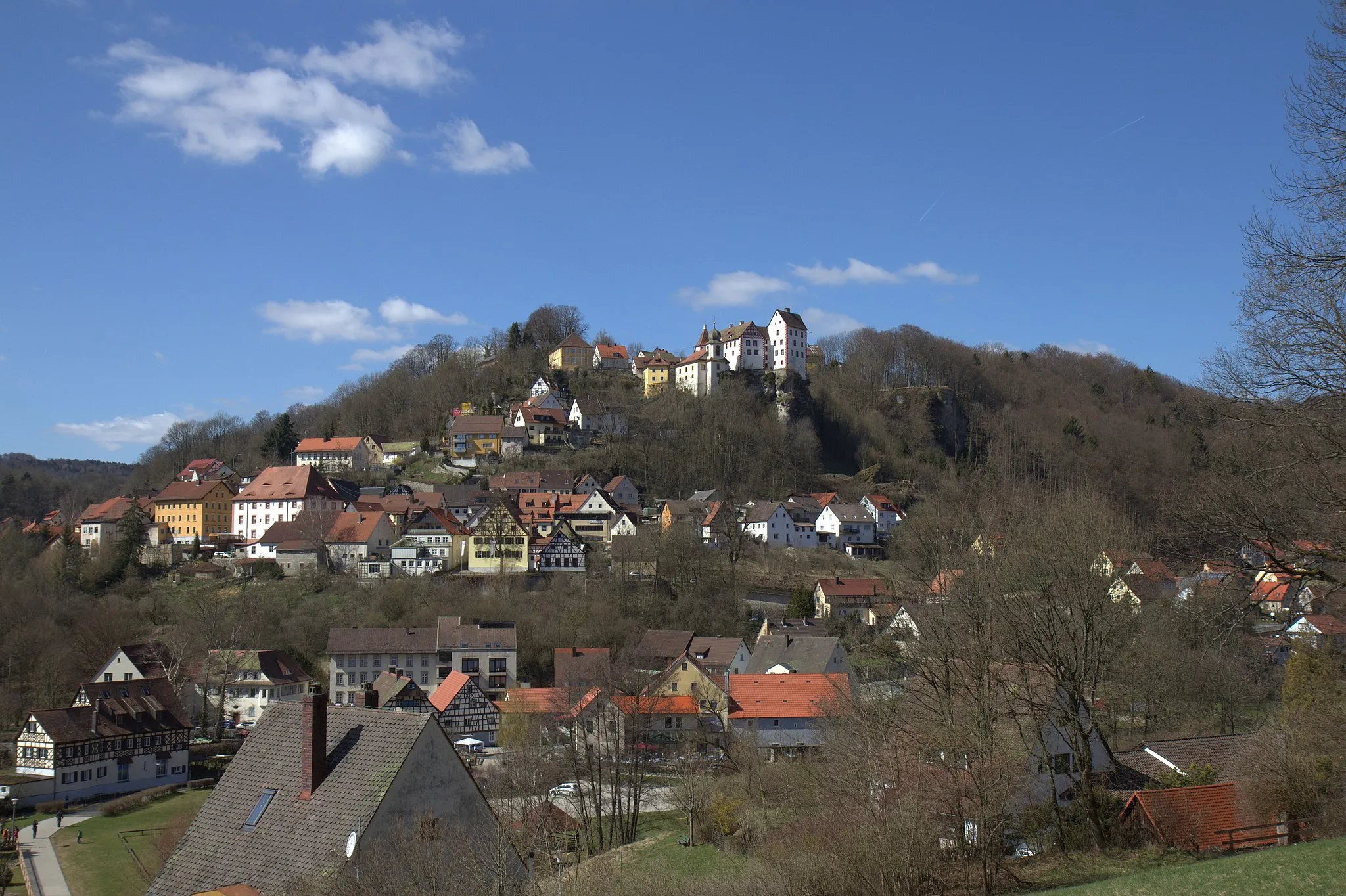
Mistelberg418 mPeakMistelberg offers a peaceful retreat amidst lush greenery, perfect for reconnecting with nature.
27 km
27 km
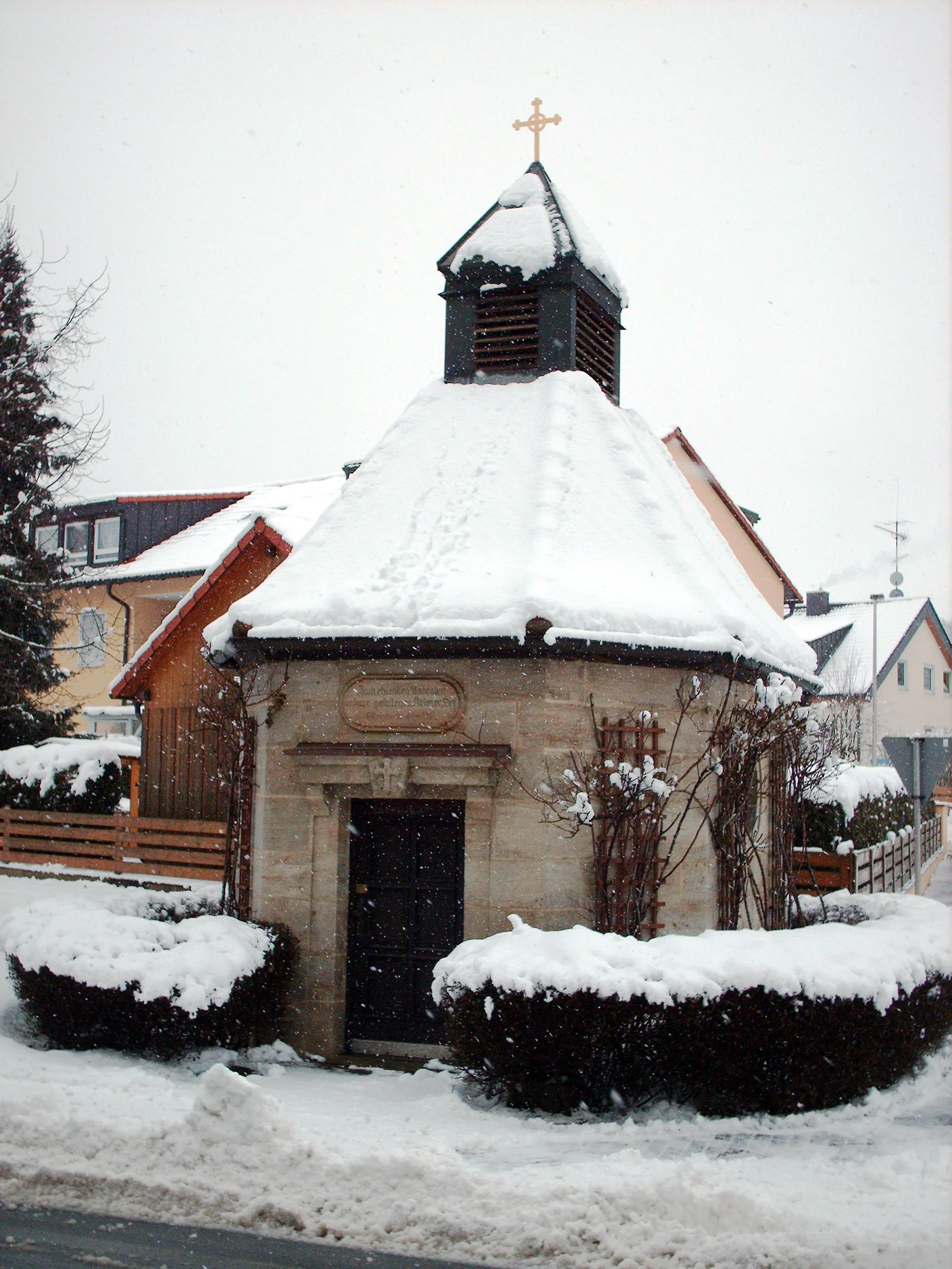
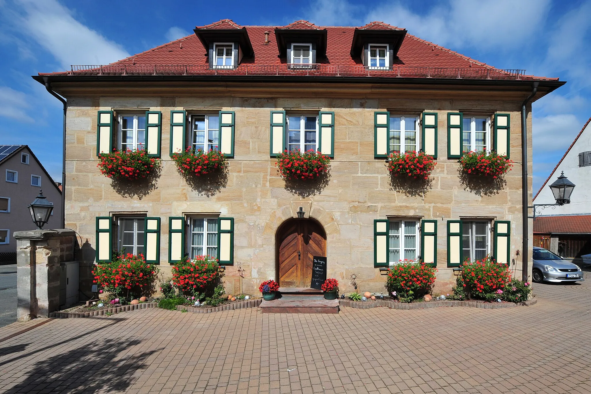
DormitzVillageUncover the hidden charm of Dormitz, surrounded by picturesque landscapes and enchanting forests.
30 km
30 km
Gugel375 mPeakGugel captivates with its quaint village atmosphere, showcasing Franconian beauty in its purest form.
36 km
36 km
UnterlindelbachVillageStop by Unterlindelbach and enjoy the idyllic rural setting nestled between rolling hills.
37 km
37 km
Finish: Igensdorf Village centerIgensdorf: Cycling Paradise in Oberfranken, Germany
Cycling routes from Igensdorf:
Cycling routes nearby: