The Rothenbuch Gravel Challenge
A gravel cycling route starting from Freudenberg
Conquer the challenging gravel routes of Rothenbuch and admire its breathtaking vistas.
Map
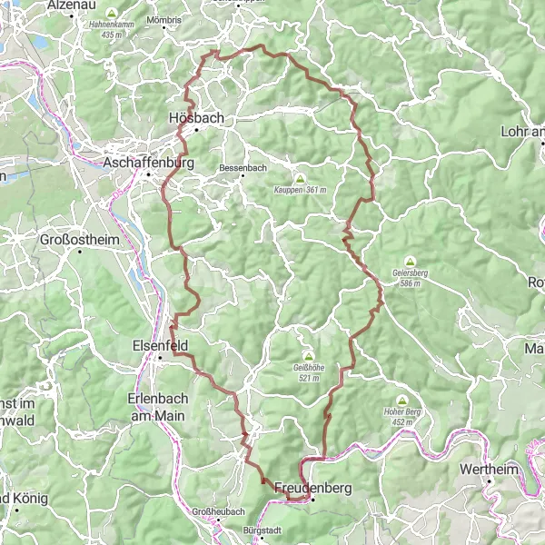
This epic gravel challenge takes you through the rugged terrains of Rothenbuch, offering exhilarating climbs and rewarding descents. With significant elevation gain and a mix of gravel and dirt trails, this route is suitable for advanced gravel riders. Along the way, you'll encounter numerous highlights, including the stunning Dörnetshöhe viewpoint and the beautiful Godelsberg village. Don't miss the opportunity to stop by the charming village of Erlenbach and enjoy breathtaking views from Steigkoppe.
gravel
109 km
2050 m
Savage
Route profile
Highlights on the route
0 km
0 km
Start: Kirschfurt Village centerFreudenberg: Gateway to the Black Forest for cycling enthusiasts
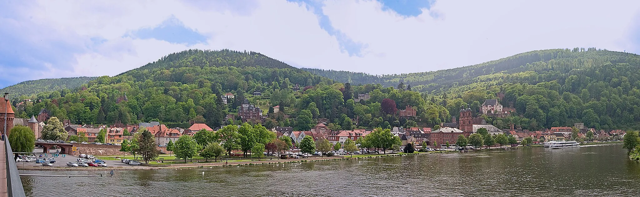
Freudenberg, located in Stuttgart, Germany, is a quaint locality with a mix of road and gravel cycling opportunities. The region offers a combination of flat routes and hilly terrain, allowing cyclists to explore diverse landscapes. Besides its beautiful countryside, Freudenberg also serves as a gateway to the famous Black Forest region, known for its challenging climbs and stunning views. With its variety of cycling options and close proximity to the Black Forest, Freudenberg receives a rank of 4.5 km
5 km
Sohlhöhe370 mMountain PassSohlhöhe is a scenic viewpoint offering breathtaking panoramic vistas of the surrounding wilderness.
7 km
7 km
RöllbachVillageRöllbach is a historic village renowned for its well-preserved medieval architecture and tranquil ambiance.
17 km
17 km
SchippachVillageSchippach features a picturesque landscape and picturesque countryside views.
27 km
27 km
Dörnetshöhe292 mPeakDörnetshöhe is a must-visit viewpoint known for its stunning vistas over the rolling hills and dense forests.
40 km
40 km
Godelsberg252 mPeakGodelsberg is a charming village with traditional timber-framed buildings and delightful local eateries.
43 km
43 km
GoldbachTownGoldbach serves as a picturesque old town with historical sites and charming cafes.
53 km
53 km
ErlenbachVillageErlenbach boasts scenic landscapes, including serene forests and rolling hills that invite exploration.
60 km
60 km
Steigkoppe502 mPeakSteigkoppe offers thrilling climbs, rewarding cyclists with awe-inspiring views of the surrounding countryside.
68 km
68 km
Bösbornkopf471 mPeakBösbornkopf is a challenging climb with panoramic views of the natural surroundings and charming trails.
73 km
73 km
RothenbuchVillageRothenbuch is a quaint village famed for its picturesque landscapes and charming historical heritage.
80 km
80 km
Langenrain437 mPeakLangenrain features diverse landscapes and inviting biking paths amid serene natural settings.
96 km
96 km
WildenseeHamletWildensee is a tranquil lake surrounded by lush forests, providing a serene and peaceful escape.
105 km
105 km
CollenbergVillageCollenberg features beautiful scenery, idyllic landscapes, and intriguing historical sites.
105 km
105 km
Aussicht auf SeeViewpointAussicht auf See offers spectacular views overlooking a serene lake, perfect for relaxation and reflection.
109 km
109 km
Finish: Kirschfurt Village centerFreudenberg: Gateway to the Black Forest for cycling enthusiasts
Cycling routes from Freudenberg:
Bürgstadt Scenic Route Miltenberg Adventure Gravel Adventure Freudenberg Discovery Geiersberg Loop Scenic Gravel Loop Off-Road Adventure The Romantic Road Hilltop Challenge Collenberg Loop The Geiersberg Gravel Adventure The Dorfprozelten Loop The Rothenbuch Gravel Challenge The Kreuzwertheim Circuit The Haselburg Escape
Cycling routes nearby: