Freudenberg Discovery
A road cycling route starting from Freudenberg
Embark on the Freudenberg Discovery route and explore hidden gems in the countryside
Map
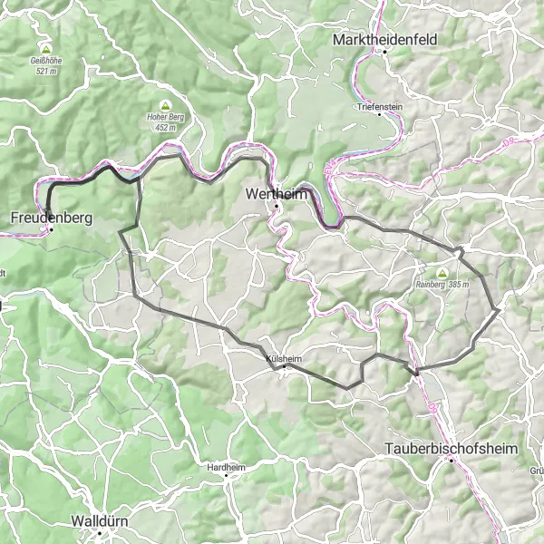
The Freudenberg Discovery route is a scenic cycling adventure that takes you through the tranquil countryside surrounding Freudenberg. With a total ascent of 892 meters and a distance of 85 kilometers, this route offers a moderate challenge for amateur cyclists. Highlights along the way include the historic town of Stadtprozelten, the picturesque Rainberg, and the charming village of Külsheim. Overall, the Freudenberg Discovery route is a great choice for cyclists looking for a peaceful and enjoyable ride through idyllic landscapes.
road
85 km
892 m
Tough
Route profile
Highlights on the route
0 km
0 km
Start: Freudenberg City centerFreudenberg: Gateway to the Black Forest for cycling enthusiasts
Freudenberg, located in Stuttgart, Germany, is a quaint locality with a mix of road and gravel cycling opportunities. The region offers a combination of flat routes and hilly terrain, allowing cyclists to explore diverse landscapes. Besides its beautiful countryside, Freudenberg also serves as a gateway to the famous Black Forest region, known for its challenging climbs and stunning views. With its variety of cycling options and close proximity to the Black Forest, Freudenberg receives a rank of 4.9 km
9 km
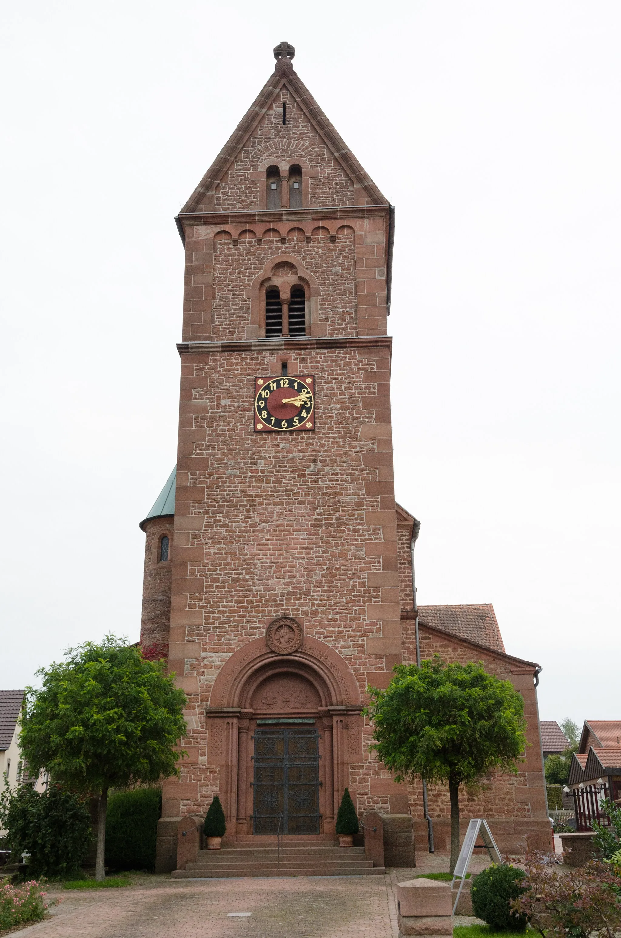
StadtprozeltenVillageStadtprozelten is a charming village with narrow streets and historic buildings. It's a great spot to take a break and explore the local culture and heritage.
13 km
13 km
Oberer Berg361 mPeakOberer Berg offers beautiful views over the countryside, with gentle slopes perfect for amateur cyclists. Take your time to enjoy the scenery and capture some memorable photos.
22 km
22 km
Rainberg250 mPeakRainberg is a small hill with stunning panoramic views. Stop here to catch your breath and take in the tranquil beauty of the surrounding landscapes.
34 km
34 km
Neubrunn bei WürzburgVillageNeubrunn bei Würzburg is a picturesque town with charming streets and historic buildings. Take a stroll through the town center and enjoy the peaceful atmosphere.
44 km
44 km
Höhberg321 mPeakHöhberg is a scenic spot with beautiful views over the forests and valleys. Take a break here and enjoy a picnic surrounded by nature.
58 km
58 km
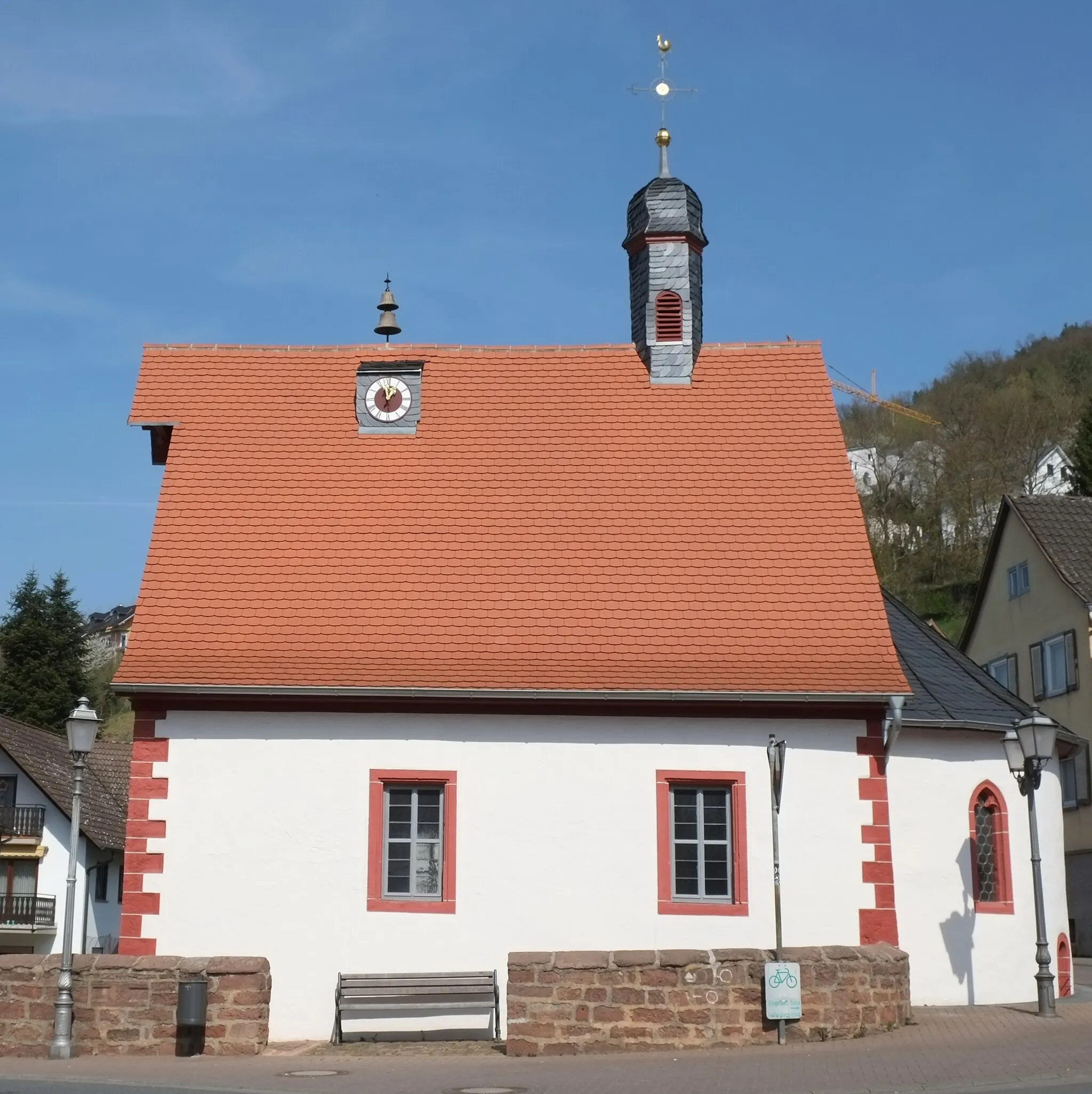
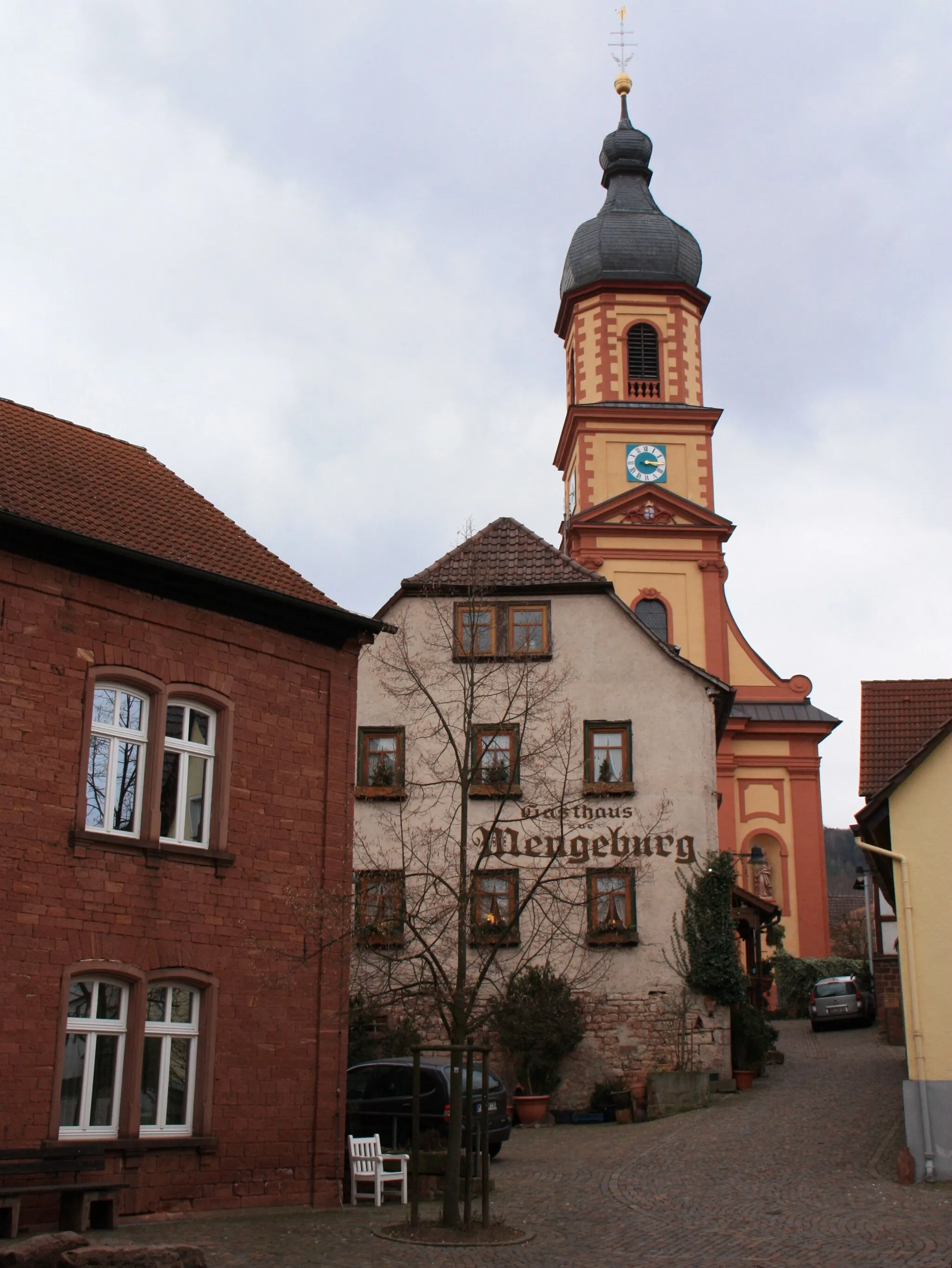
KülsheimVillageKülsheim is a charming village known for its medieval walls and towers. Explore the historic center and discover hidden gems around every corner.
66 km
66 km
TiefentalHamletTiefental is a small valley with a peaceful stream running through it. Take a moment to relax by the water and enjoy the soothing sounds of nature.
74 km
74 km
HolzturmViewpointHolzturm is an observation tower that offers panoramic views over the countryside. Climb to the top and admire the stunning landscapes stretching out before you.
85 km
85 km
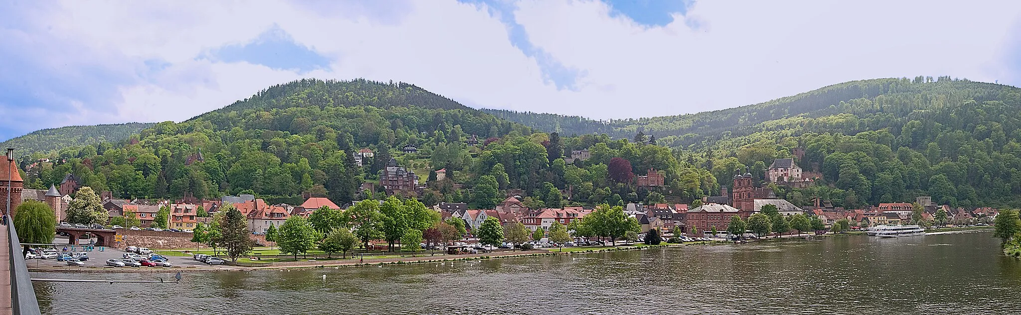
FreudenbergTownFreudenberg is the starting and ending point of this route, and it's worth exploring the town's historic center and charming streets. Don't miss the opportunity to visit some of the local cafes and restaurants for a taste of regional cuisine.
85 km
85 km
Finish: Freudenberg City centerFreudenberg: Gateway to the Black Forest for cycling enthusiasts
Cycling routes from Freudenberg:
Bürgstadt Scenic Route Miltenberg Adventure Gravel Adventure Freudenberg Discovery Geiersberg Loop Scenic Gravel Loop Off-Road Adventure The Romantic Road Hilltop Challenge Collenberg Loop The Geiersberg Gravel Adventure The Dorfprozelten Loop The Rothenbuch Gravel Challenge The Kreuzwertheim Circuit The Haselburg Escape
Cycling routes nearby: