The Romantic Road
A road cycling route starting from Freudenberg
A picturesque cycling route along the historic Romantic Road
Map
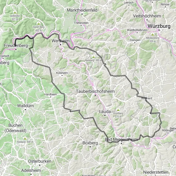
The Romantic Road is a scenic cycling route starting near Freudenberg, Stuttgart. Spanning a distance of 154 kilometers, this route takes cyclists through charming towns and idyllic countryside. The highlight of this route is its connection to the historic Romantic Road, known for its magnificent castles, medieval towns, and beautiful landscapes. Cycling enthusiasts will be captivated by the quaint villages, vineyards, and rolling hills that make this route an unforgettable experience.
road
154 km
1981 m
Tough
Route profile
Highlights on the route
0 km
0 km
Start: Freudenberg City centerFreudenberg: Gateway to the Black Forest for cycling enthusiasts
Freudenberg, located in Stuttgart, Germany, is a quaint locality with a mix of road and gravel cycling opportunities. The region offers a combination of flat routes and hilly terrain, allowing cyclists to explore diverse landscapes. Besides its beautiful countryside, Freudenberg also serves as a gateway to the famous Black Forest region, known for its challenging climbs and stunning views. With its variety of cycling options and close proximity to the Black Forest, Freudenberg receives a rank of 4.6 km
6 km
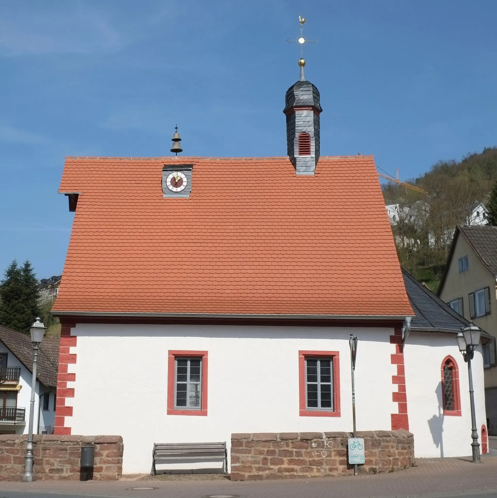
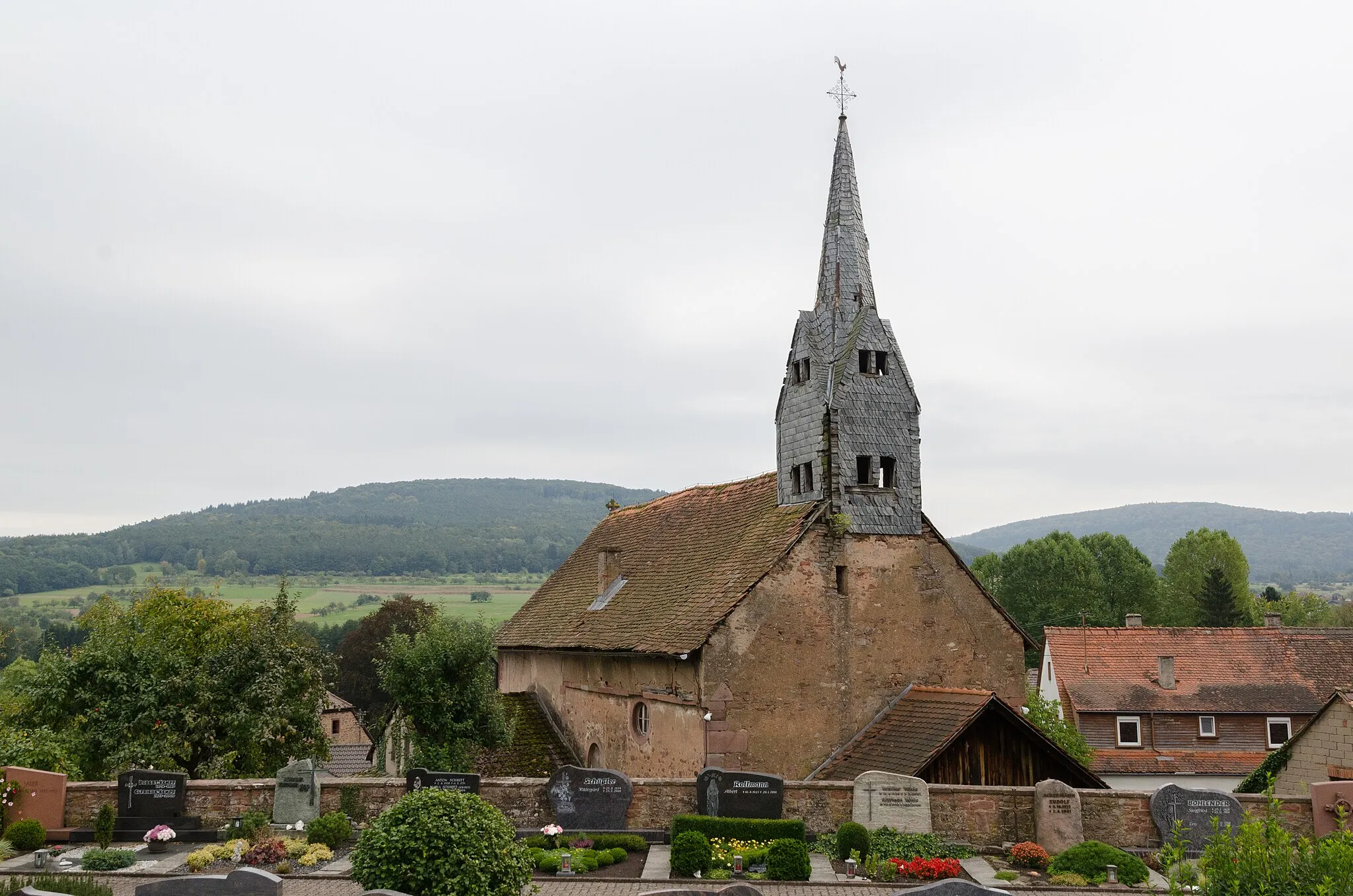
DorfprozeltenVillageDorfprozelten, a picturesque village, is known for its well-preserved timber-framed houses.
13 km
13 km
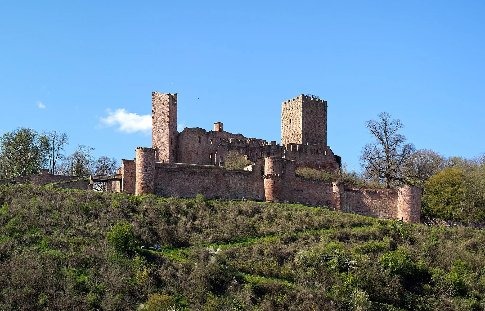
Oberer Berg361 mPeakOberer Berg offers stunning panoramic views of the surrounding countryside.
27 km
27 km
Mühlberg226 mPeakMühlberg is a charming hilltop town with narrow streets and historic buildings.
34 km
34 km
Neubrunn bei WürzburgVillageNeubrunn bei Würzburg is a must-visit for wine enthusiasts with its vineyards and wine cellars.
53 km
53 km
Krensheimer Höhe347 mPeakKrensheimer Höhe offers a challenging climb with breathtaking views at the top.
53 km
53 km
PoppenhausenVillagePoppenhausen is a picturesque village surrounded by lush green fields and rolling hills.
61 km
61 km
BütthardVillageBütthard is a historic town with well-preserved medieval architecture.
78 km
78 km
SchäftersheimVillageSchäftersheim is known for its vineyards and wine production.
90 km
90 km
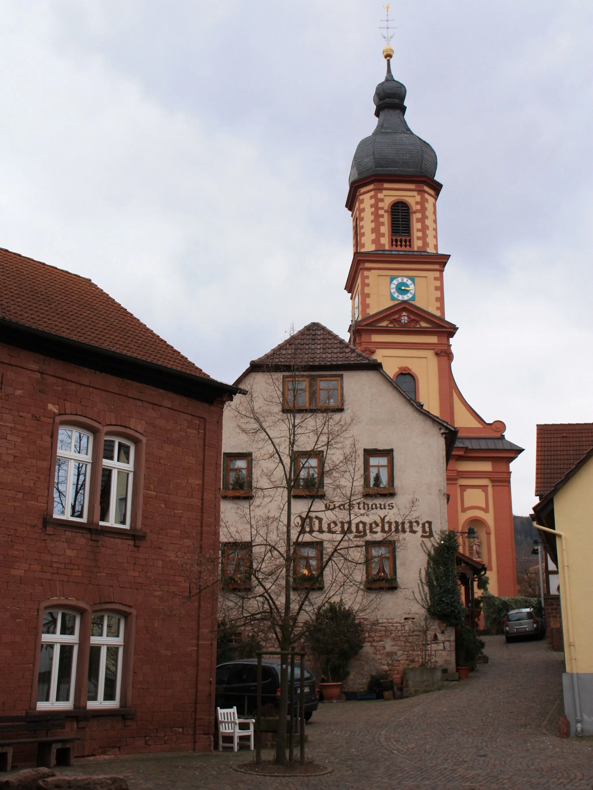
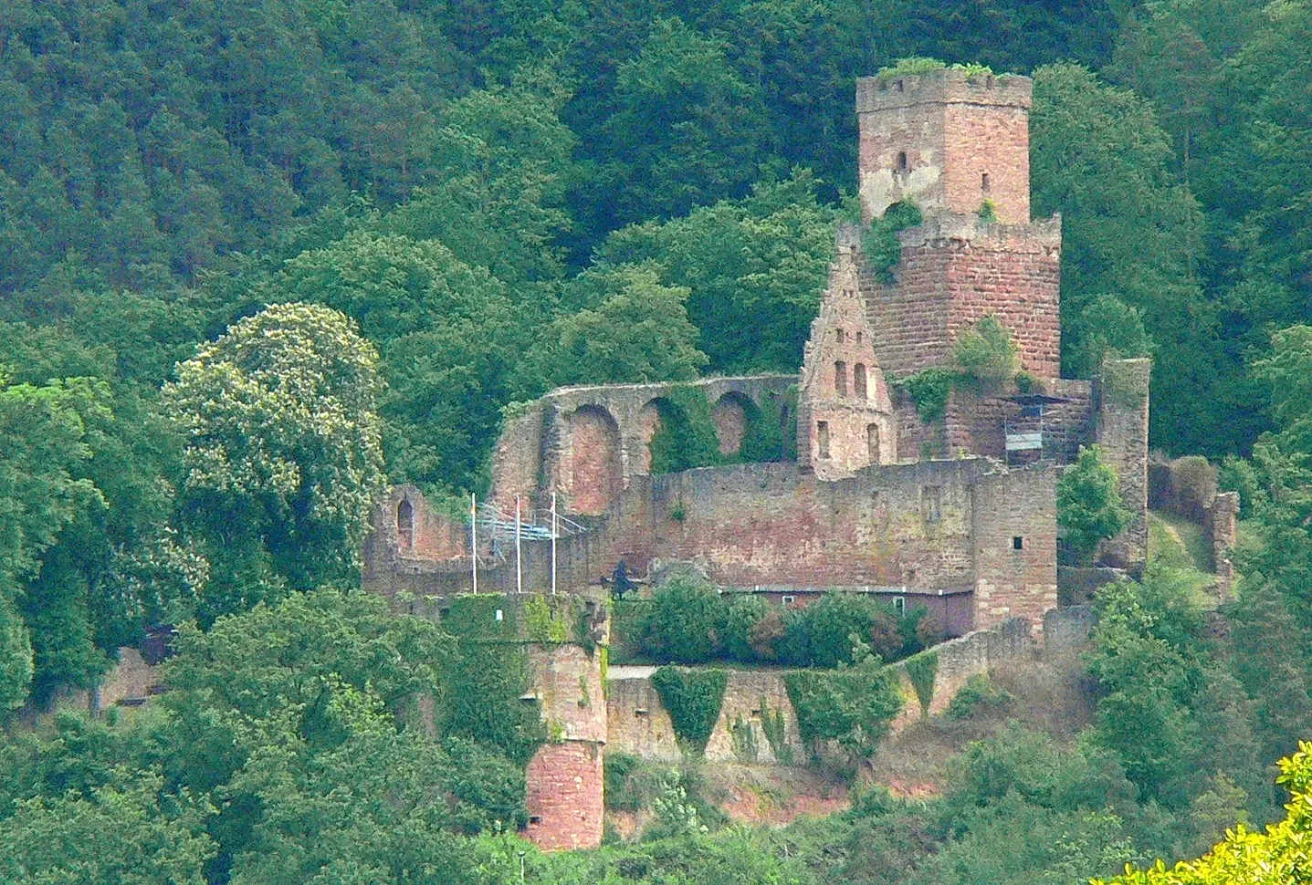
Bad MergentheimTownBad Mergentheim is a charming spa town with beautiful gardens and a medieval castle.
95 km
95 km
Eisenberg359 mPeakEisenberg is famous for its orchards and provides stunning views of the surrounding countryside.
106 km
106 km
HeckfeldVillageHeckfeld is a lovely village with traditional half-timbered houses.
119 km
119 km
Köpfle416 mPeakKöpfle is a quaint village with a peaceful and picturesque atmosphere.
130 km
130 km
SteinbachVillageSteinbach is a small village with charming rural landscapes and traditional architecture.
143 km
143 km
HolzturmViewpointHolzturm offers panoramic views of the region from its observation deck.
154 km
154 km
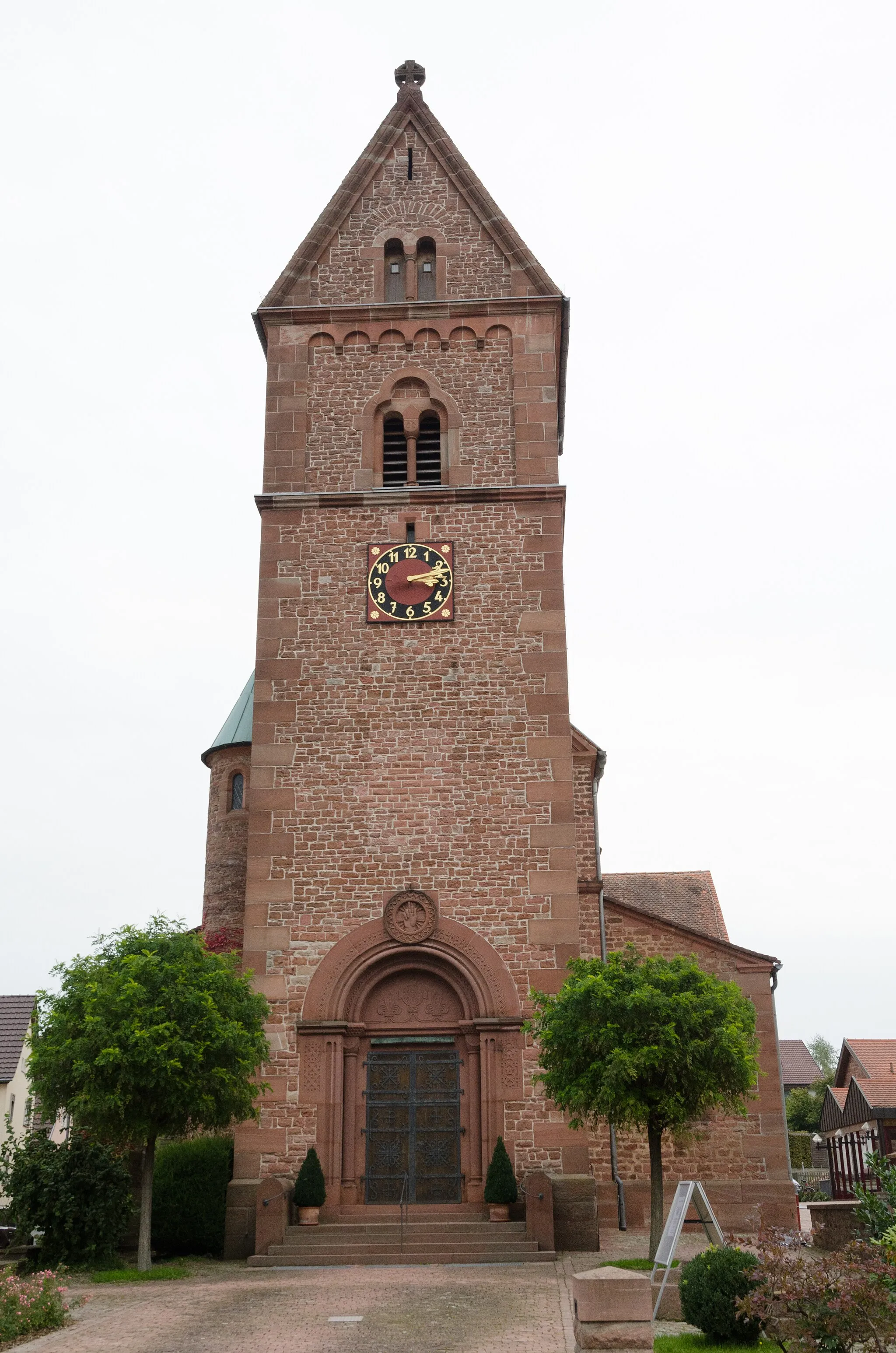
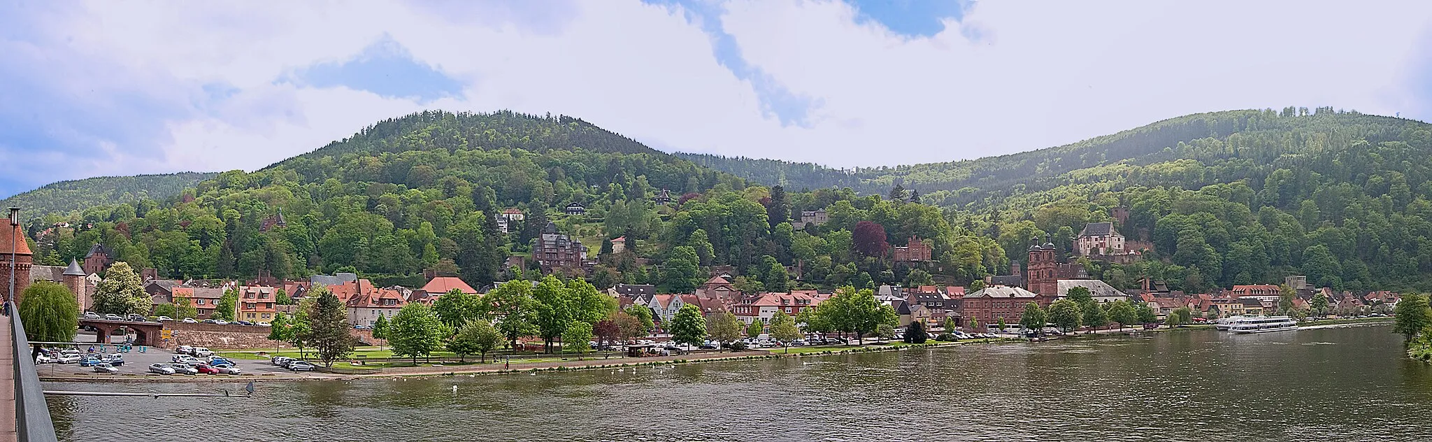
FreudenbergTownFreudenberg is the starting point of the route and is known for its half-timbered houses and medieval charm.
154 km
154 km
Finish: Freudenberg City centerFreudenberg: Gateway to the Black Forest for cycling enthusiasts
Cycling routes from Freudenberg:
Bürgstadt Scenic Route Miltenberg Adventure Gravel Adventure Freudenberg Discovery Geiersberg Loop Scenic Gravel Loop Off-Road Adventure The Romantic Road Hilltop Challenge Collenberg Loop The Geiersberg Gravel Adventure The Dorfprozelten Loop The Rothenbuch Gravel Challenge The Kreuzwertheim Circuit The Haselburg Escape
Cycling routes nearby: