Rodacherbrunn Adventure
A gravel cycling route starting from Bad Lobenstein
An epic gravel route with challenging climbs
Map

The Rodacherbrunn Adventure is a thrilling gravel route starting near Bad Lobenstein, Thüringen, Germany. Spanning a distance of 91 km and featuring an elevation gain of 1851 m, this route is designed for experienced and adventurous cyclists. Along the way, riders will encounter challenging climbs and breathtaking views. Some highlights of the route include Kirchhügel, Rodacherbrunn, Kurfürstenstein Hütte, and Höhkuppe. With its demanding terrain and stunning landscapes, the Rodacherbrunn Adventure is guaranteed to provide an adrenaline-fueled experience for cyclists seeking a challenge.
gravel
91 km
1851 m
Savage
Route profile
Highlights on the route
0 km
0 km
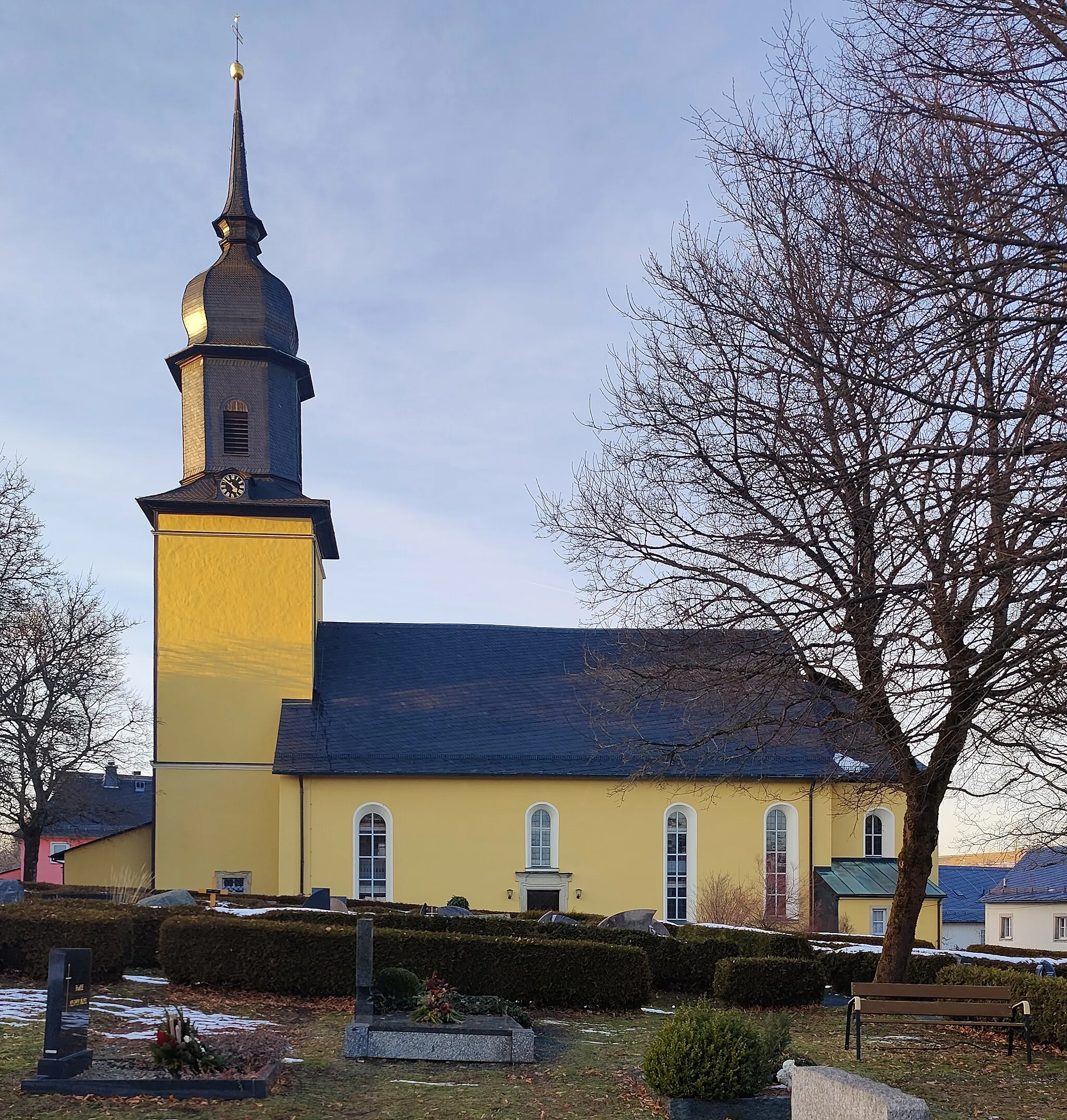
Start: Bad Lobenstein City centerBad Lobenstein: Embarking on a cycling adventure in the scenic landscapes of Bad Lobenstein in Thüringen, Germany.
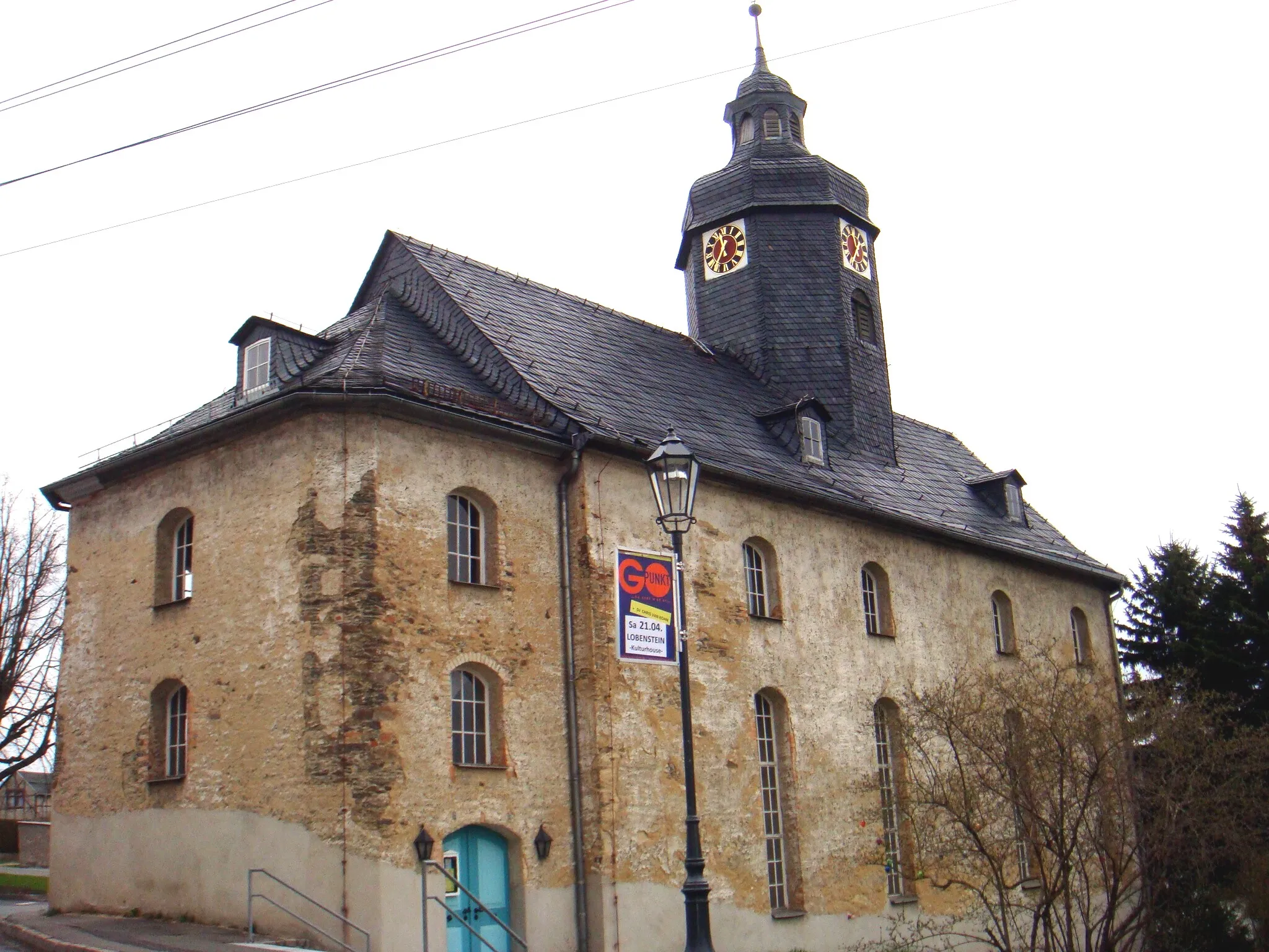
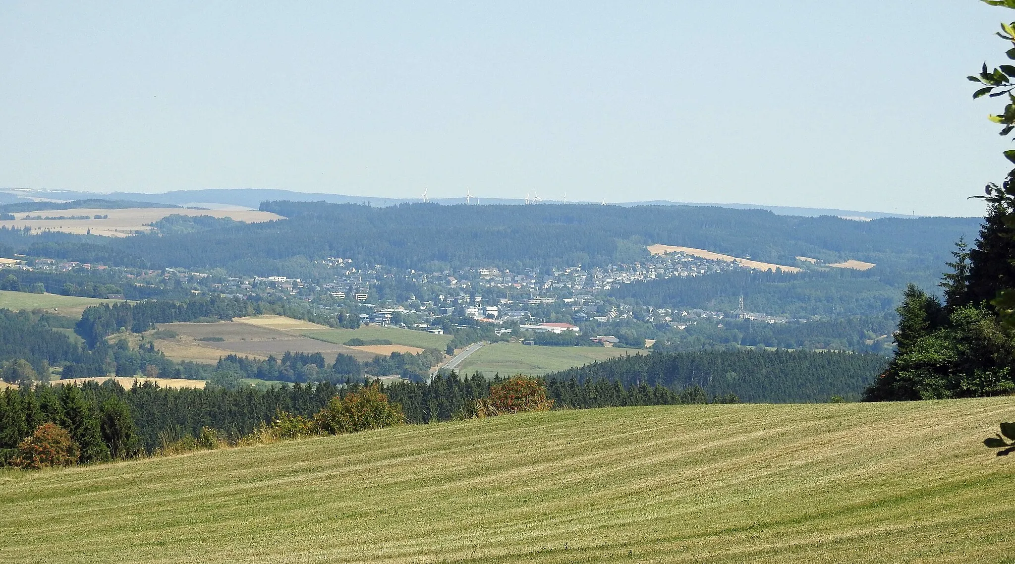
Bad Lobenstein in Thüringen, Germany is a scenic locality known for its natural beauty and cycling opportunities. With its rolling hills and picturesque landscapes, it provides an ideal setting for road and gravel cyclists. Cyclists can explore the lush Thuringian Forest nearby, admiring its dense forests and charming villages along the way. The area also offers well-known climbs such as the Schlossberg, a challenging ascent that rewards riders with panoramic views from the top. Bad Lobenstein is a cycling paradise for nature lovers and those seeking a refreshing escape from city life.8 km
8 km
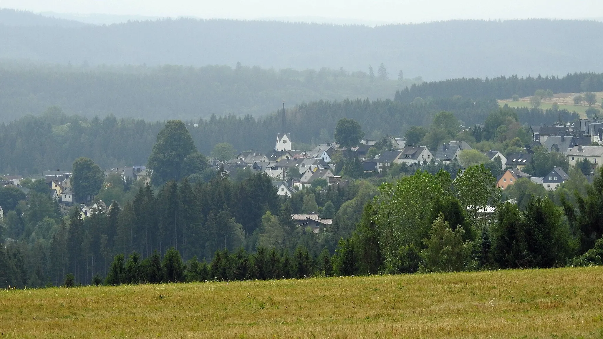
Kirchhügel688 mPeakPass through Kirchhügel, a picturesque hilltop village that offers exceptional views of the surrounding landscapes. Take a moment to pause and appreciate the stunning vistas.
10 km
10 km
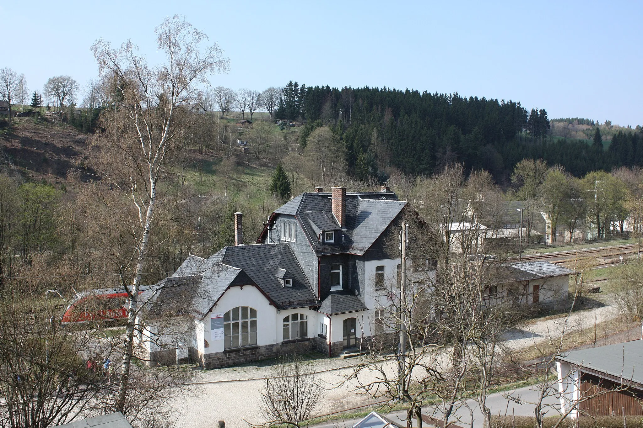
RodacherbrunnShelterDiscover Rodacherbrunn, a quaint village known for its idyllic location amidst lush nature. Immerse yourself in the peaceful atmosphere and admire the charm of this hidden gem.
19 km
19 km
Kurfürstenstein HütteShelterVisit Kurfürstenstein Hütte, a cozy mountain hut situated in a scenic location. Take a break and enjoy a refreshing snack while marveling at the stunning alpine views.
20 km
20 km
Eppenberg733 mPeakMake a stop at Eppenberg, a small village with traditional houses and charming streets. Take a leisurely walk through the village and immerse yourself in its tranquil ambiance.
37 km
37 km
Höhkuppe723 mPeakClimb up Höhkuppe and be rewarded with breathtaking panoramic views of the Thüringen countryside. This challenging ascent is worth it for the stunning vistas that await at the top.
43 km
43 km
GroßneundorfVillagePass through Großneundorf, a quaint village with picturesque landscapes. Take in the beauty of the surrounding countryside and enjoy the serenity of this rural gem.
51 km
51 km
Haderberg523 mPeakStop by Haderberg, a small village known for its traditional houses and stunning vistas. Take a moment to appreciate the beauty of the area before continuing your ride.
53 km
53 km
MarktgölitzVillageVisit Marktgölitz, a charming village with a rich history. Explore its historic buildings and soak in the unique atmosphere of this hidden gem.
62 km
62 km
Schmittenberg529 mPeakClimb up Schmittenberg and enjoy panoramic views of the Thüringen Forest. The challenging ascent will test your cycling skills, but the views make it all worthwhile.
75 km
75 km
AltengeseesVillagePass through Altengesees, a quiet village surrounded by rolling hills and lush greenery. Enjoy the peaceful ambiance of this hidden gem as you continue your ride.
88 km
88 km
UnterlemnitzVillageMake a stop at Unterlemnitz, a picturesque village known for its well-preserved timber-framed houses. Take a leisurely walk through the village and capture some memorable photos.
91 km
91 km
Gallenberg547 mPeakComplete your journey by climbing up Gallenberg, a hill that offers sweeping panoramas of the Thüringen countryside. Take a moment to appreciate the scenic beauty before you descend back towards Bad Lobenstein.
91 km
91 km
Finish: Bad Lobenstein City centerBad Lobenstein: Embarking on a cycling adventure in the scenic landscapes of Bad Lobenstein in Thüringen, Germany.
Cycling routes nearby: