Gravel Adventure
A gravel cycling route starting from Bad Lobenstein
Explore the picturesque countryside on this gravel cycling adventure near Bad Lobenstein
Map

Escape the beaten path and immerse yourself in the stunning nature of Thuringia on this gravel cycling adventure. Starting near Bad Lobenstein, this route takes you through scenic countryside and offers opportunities to explore charming villages. With a difficulty rating of 2, this route is suitable for experienced amateur gravel cyclists. It has an epicness rating of 3, making it a moderately exciting and enjoyable ride. The route covers a distance of 55 kilometers and includes about 1129 meters of ascent.
gravel
55 km
1129 m
Chill
Route profile
Highlights on the route
0 km
0 km
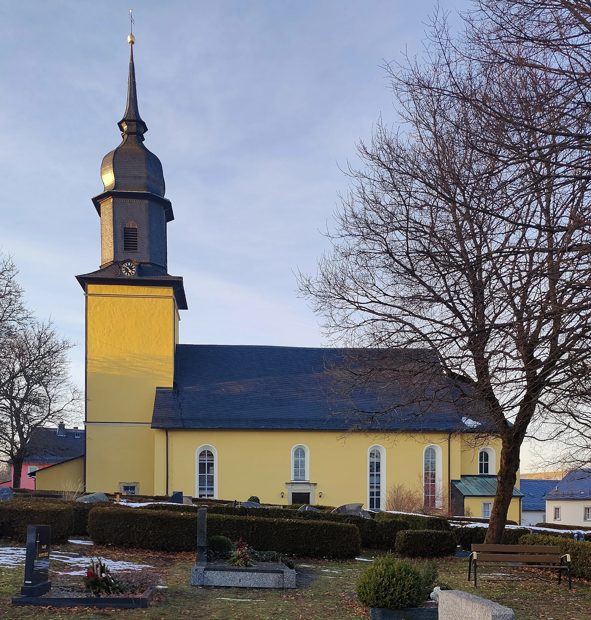
Start: Bad Lobenstein City centerBad Lobenstein: Embarking on a cycling adventure in the scenic landscapes of Bad Lobenstein in Thüringen, Germany.
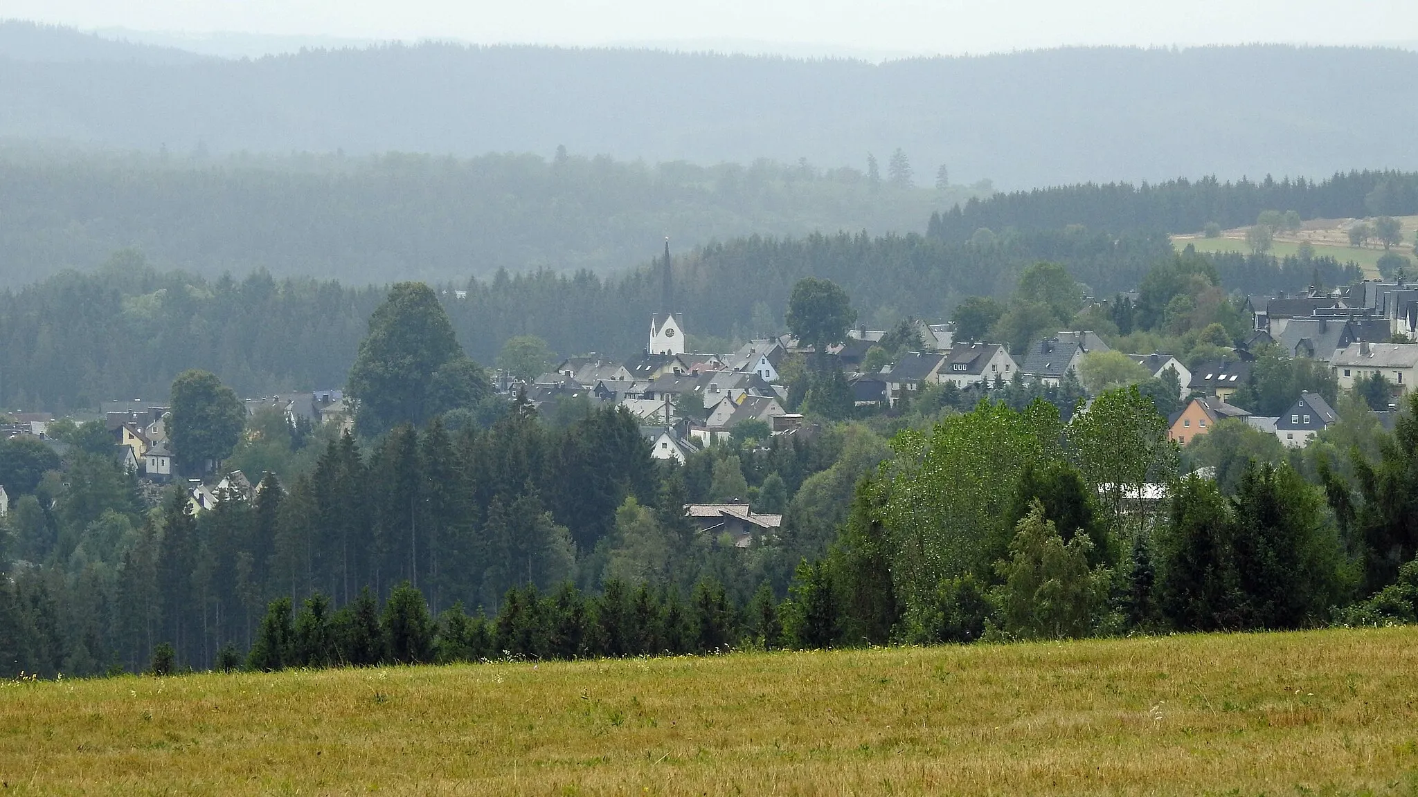
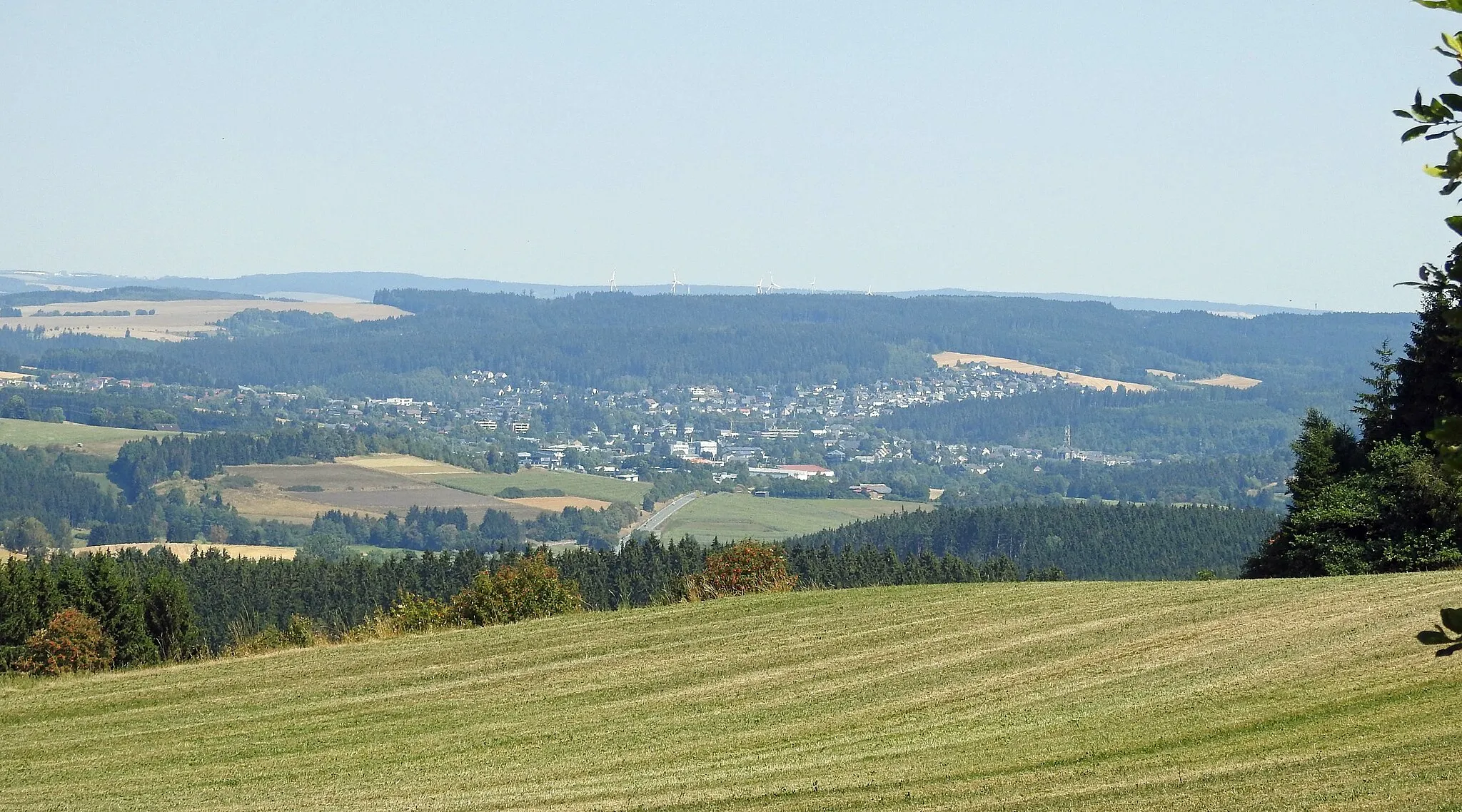
Bad Lobenstein in Thüringen, Germany is a scenic locality known for its natural beauty and cycling opportunities. With its rolling hills and picturesque landscapes, it provides an ideal setting for road and gravel cyclists. Cyclists can explore the lush Thuringian Forest nearby, admiring its dense forests and charming villages along the way. The area also offers well-known climbs such as the Schlossberg, a challenging ascent that rewards riders with panoramic views from the top. Bad Lobenstein is a cycling paradise for nature lovers and those seeking a refreshing escape from city life.0 km
0 km
Bad LobensteinTown19 km
19 km
Rauher Bühl621 mPeakRauher Bühl is a hilly area with panoramic views of the surrounding countryside.
19 km
19 km
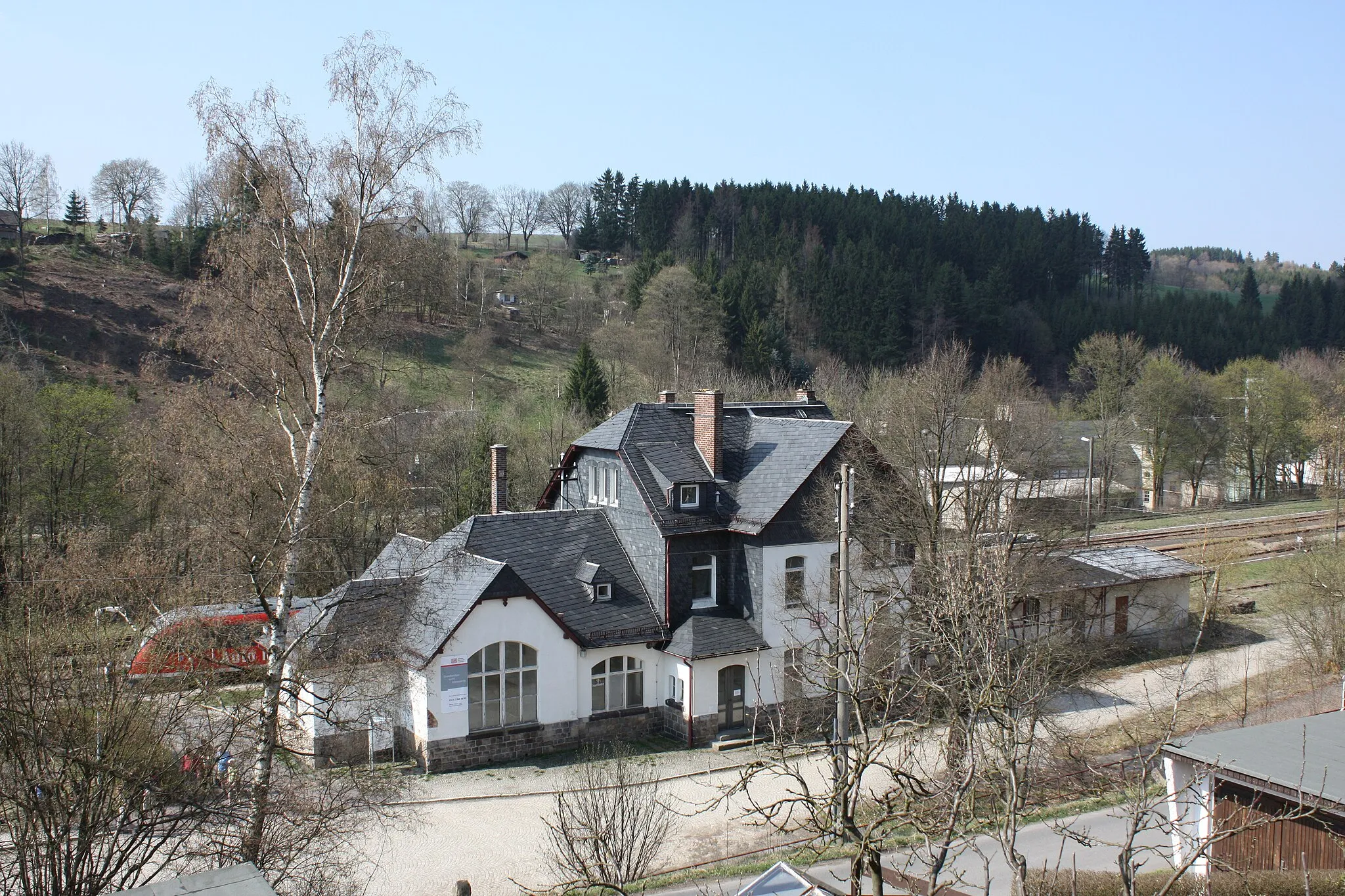
SchnarchenreuthVillageSchnarchenreuth is a picturesque village with half-timbered houses and beautiful gardens.
34 km
34 km
Schöne AussichtViewpointSchöne Aussicht, meaning 'beautiful view,' offers breathtaking vistas of the Thuringian landscape.
36 km
36 km
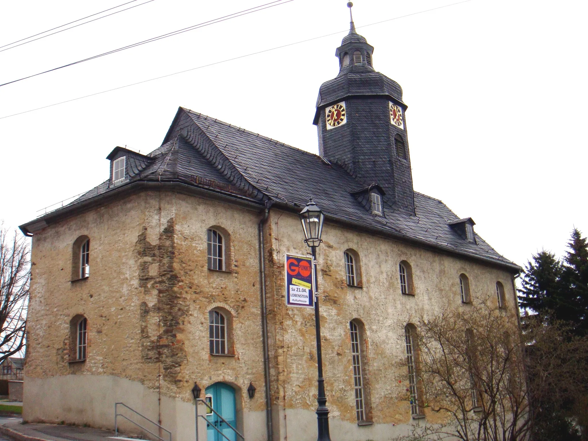
NailaTownNaila is a charming town with historic architecture and a vibrant atmosphere.
45 km
45 km
HirschsprungViewpointHirschsprung is famous for its impressive rock formations and offers great opportunities for outdoor activities like hiking and climbing.
46 km
46 km
Dampfspeicherlok „3“AttractionThe Dampfspeicherlok '3' is a historic steam locomotive housed in a museum in the area.
51 km
51 km
LemnitzhammerHamletLemnitzhammer is a picturesque village nestled in a valley and known for its idyllic charm.
54 km
54 km
Hakenberg588 mPeakHakenberg is a small hill with panoramic views and a popular spot for outdoor enthusiasts.
55 km
55 km
Finish: Bad Lobenstein City centerBad Lobenstein: Embarking on a cycling adventure in the scenic landscapes of Bad Lobenstein in Thüringen, Germany.
Cycling routes nearby: