Pfaffenhügel Round Trip
A road cycling route starting from Bad Lobenstein
A challenging road cycling route with a climb up the Pfaffenhügel hill
Map

This road cycling route takes you through the picturesque countryside near Bad Lobenstein. The highlight of the route is the ascent up the Pfaffenhügel hill, which offers breathtaking views of the surrounding landscape. With a difficulty rating of 4, this route is suitable for well-trained amateur cyclists. It has an epicness rating of 3, making it a great choice for cyclists looking for a challenging ride without extreme difficulty. The route covers a distance of 69 kilometers and includes about 1210 meters of ascent.
road
69 km
1210 m
Tough
Route profile
Highlights on the route
0 km
0 km
Start: Bad Lobenstein City centerBad Lobenstein: Embarking on a cycling adventure in the scenic landscapes of Bad Lobenstein in Thüringen, Germany.
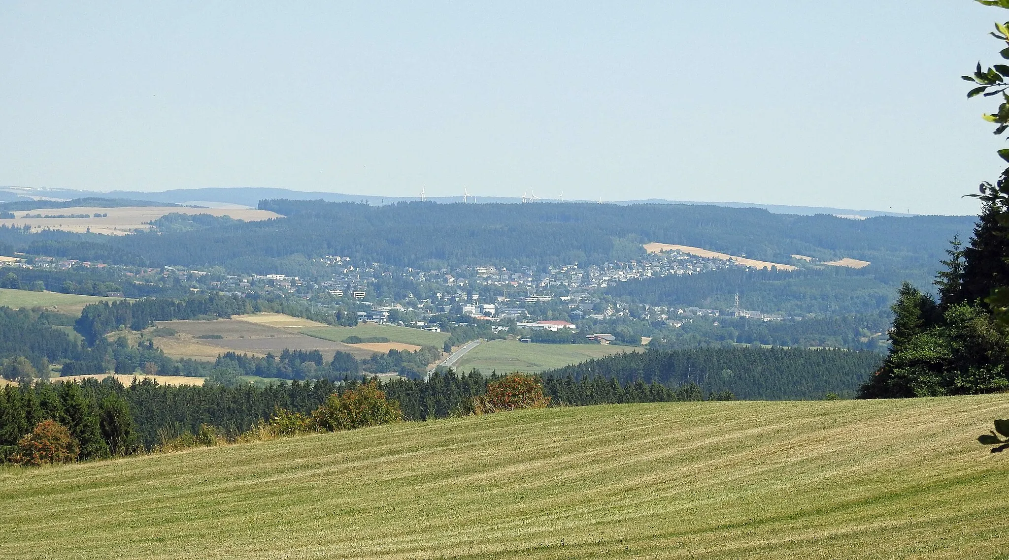
Bad Lobenstein in Thüringen, Germany is a scenic locality known for its natural beauty and cycling opportunities. With its rolling hills and picturesque landscapes, it provides an ideal setting for road and gravel cyclists. Cyclists can explore the lush Thuringian Forest nearby, admiring its dense forests and charming villages along the way. The area also offers well-known climbs such as the Schlossberg, a challenging ascent that rewards riders with panoramic views from the top. Bad Lobenstein is a cycling paradise for nature lovers and those seeking a refreshing escape from city life.6 km
6 km
Pfaffenhügel550 mPeakThe Pfaffenhügel hill offers stunning panoramic vistas of the surrounding countryside.
14 km
14 km
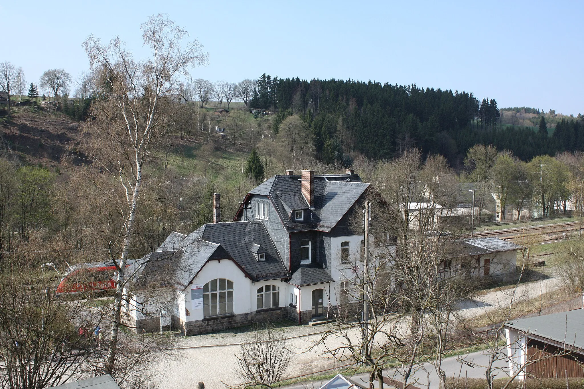
LiebengrünVillageLiebengrün, a quaint village along the route, is known for its charming half-timbered houses.
26 km
26 km
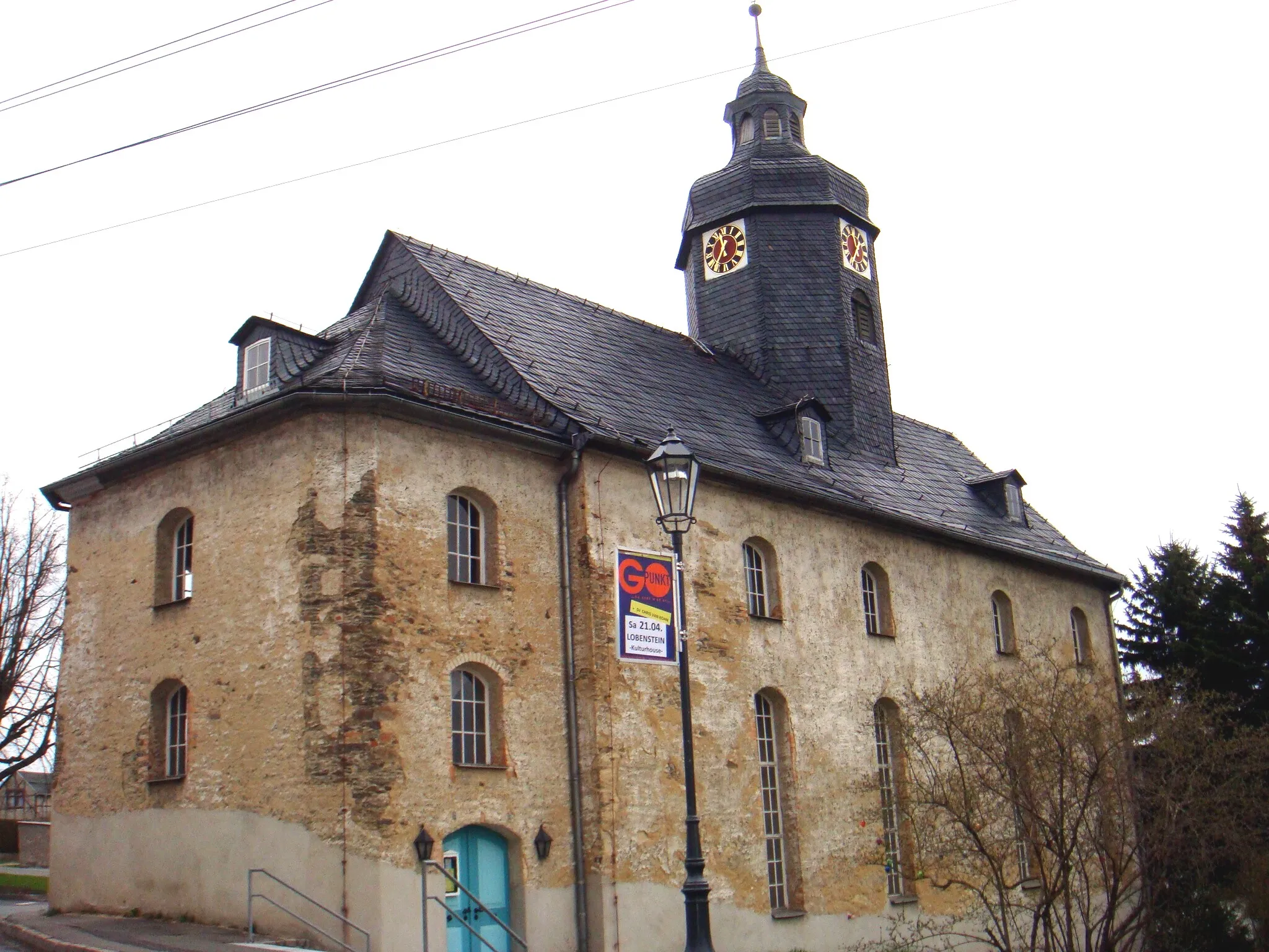
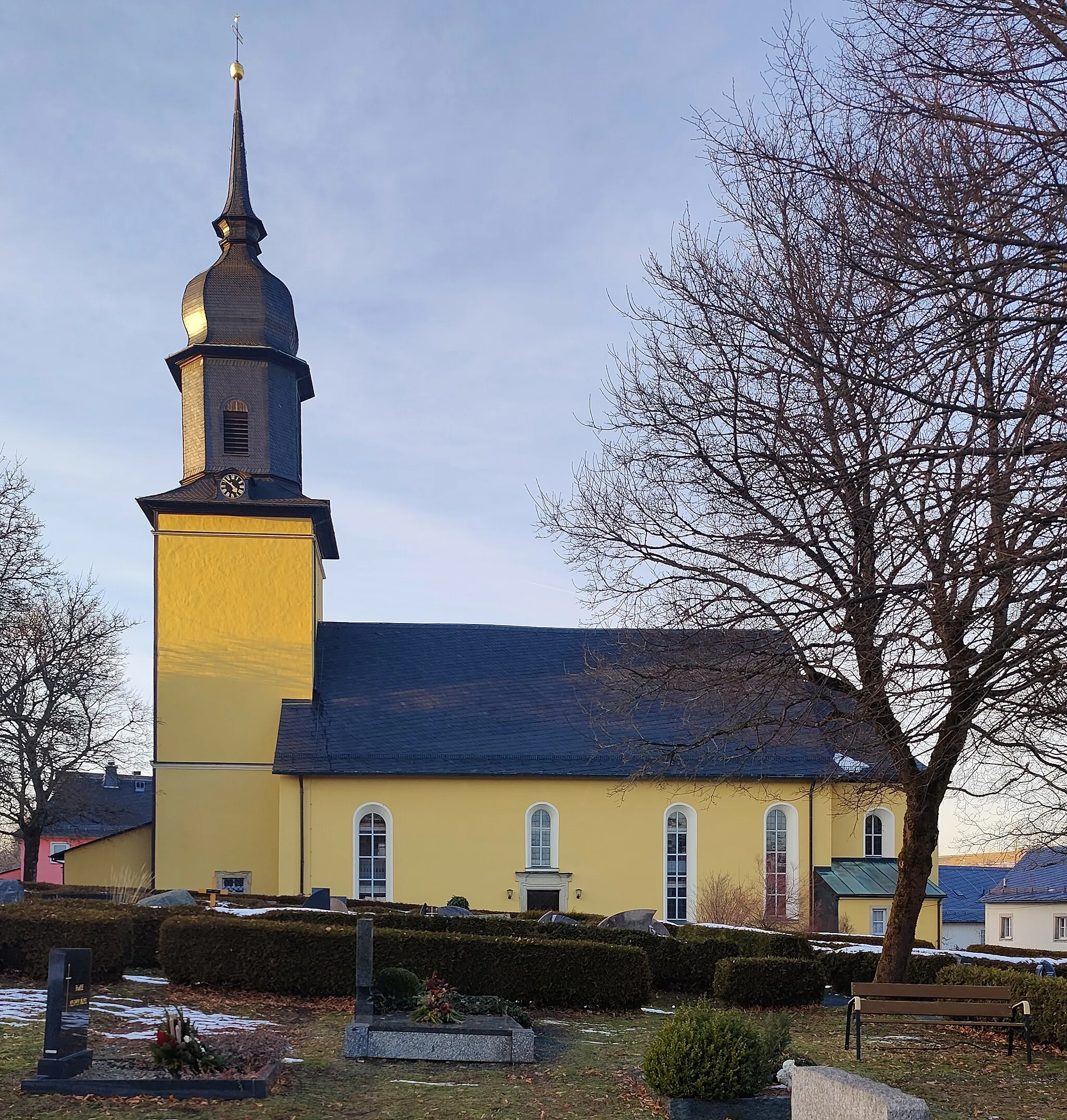
EßbachVillageEßbach is a small village with a historic church and beautiful gardens.
28 km
28 km
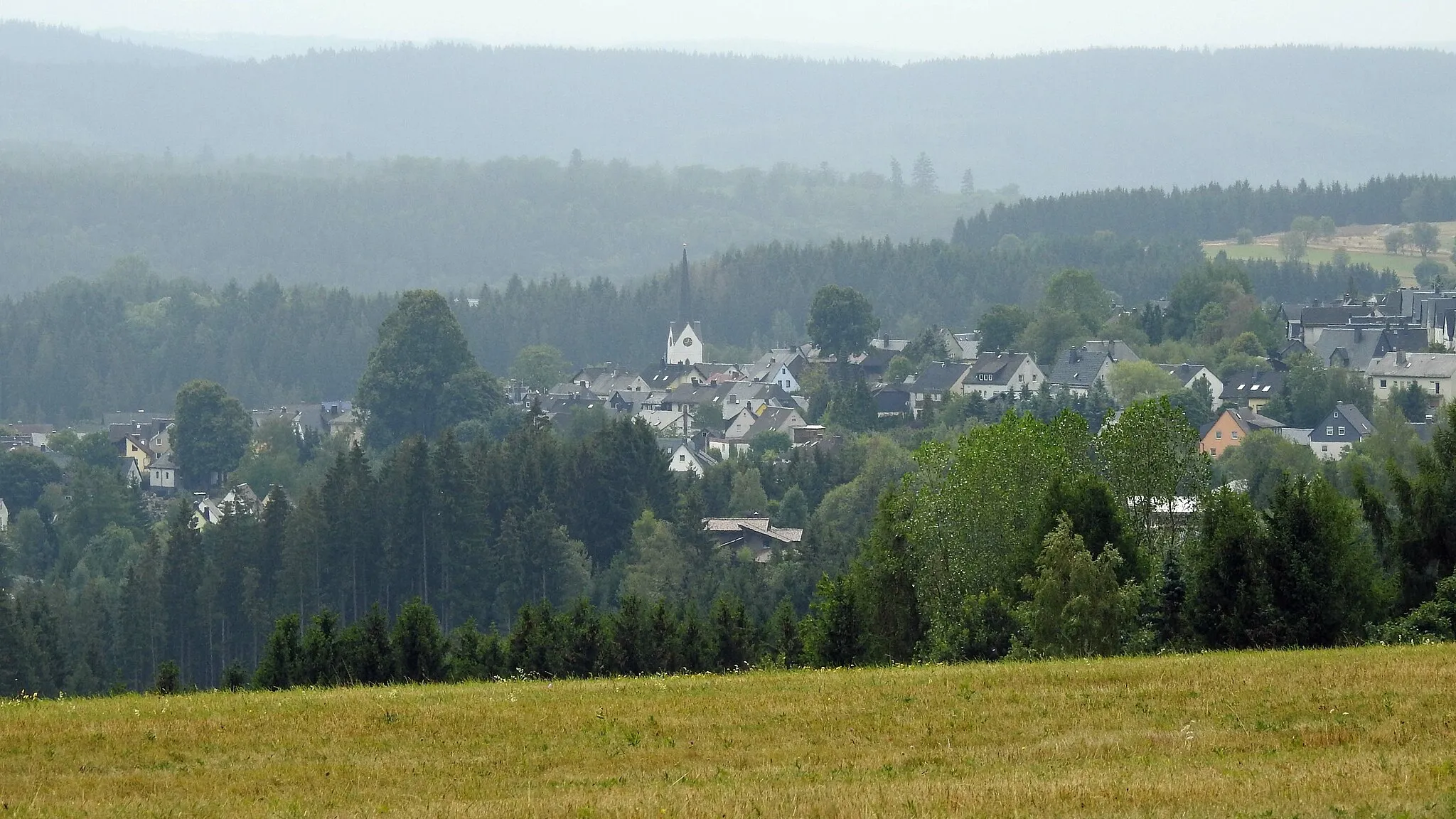
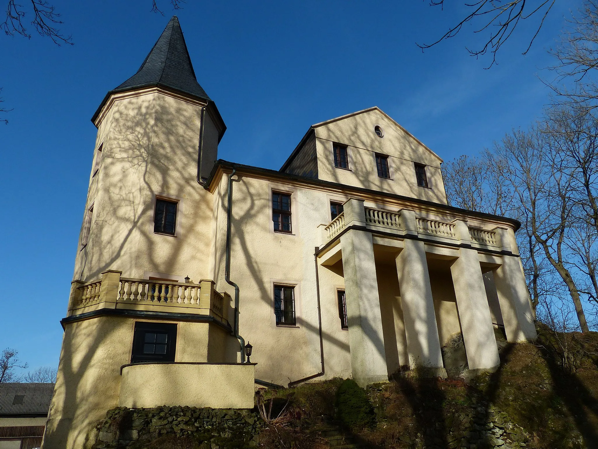
Mühlberg473 mPeakMühlberg is a picturesque town nestled in the Sormitz Valley, with traditional timber-framed houses.
39 km
39 km
Lohmen506 mPeakLohmen is a peaceful village surrounded by lush meadows and hiking trails.
47 km
47 km
RailaVillageRaila is a scenic village with historic buildings and a charming market square.
56 km
56 km
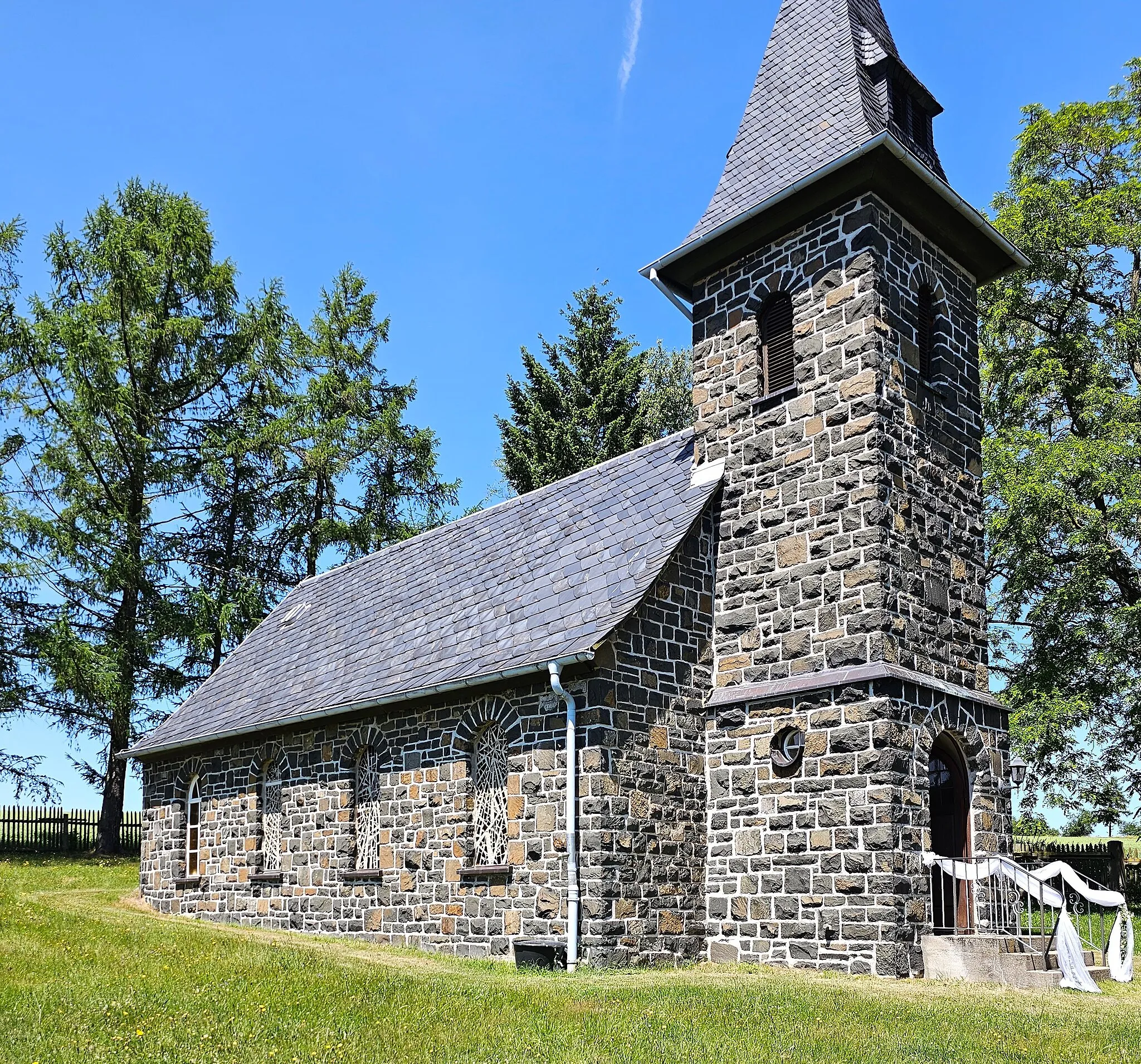
LanggrünVillageLanggrün is known for its idyllic countryside and well-preserved historic buildings.
67 km
67 km
Geiersberg551 mPeakThe Geiersberg hill offers panoramic views and is a popular destination for hikers and cyclists.
69 km
69 km
Finish: Bad Lobenstein City centerBad Lobenstein: Embarking on a cycling adventure in the scenic landscapes of Bad Lobenstein in Thüringen, Germany.
Cycling routes nearby: