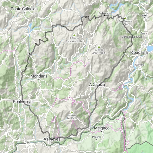
Picturesque cycling routes through vineyards and countryside
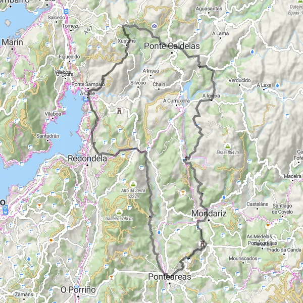
Cycling routes from Ponteareas
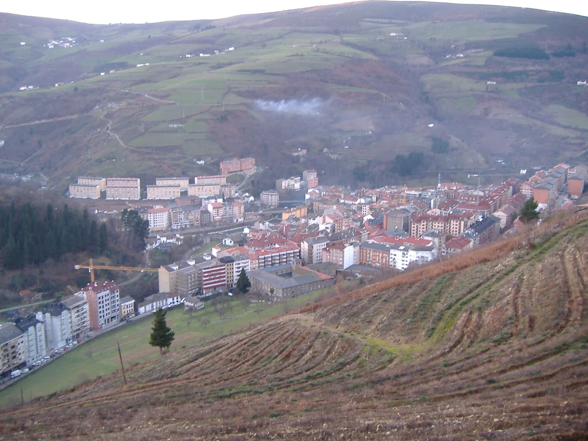
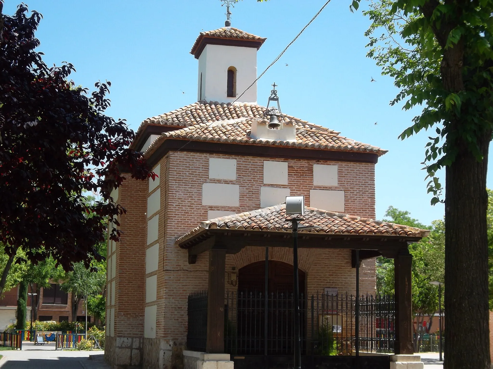
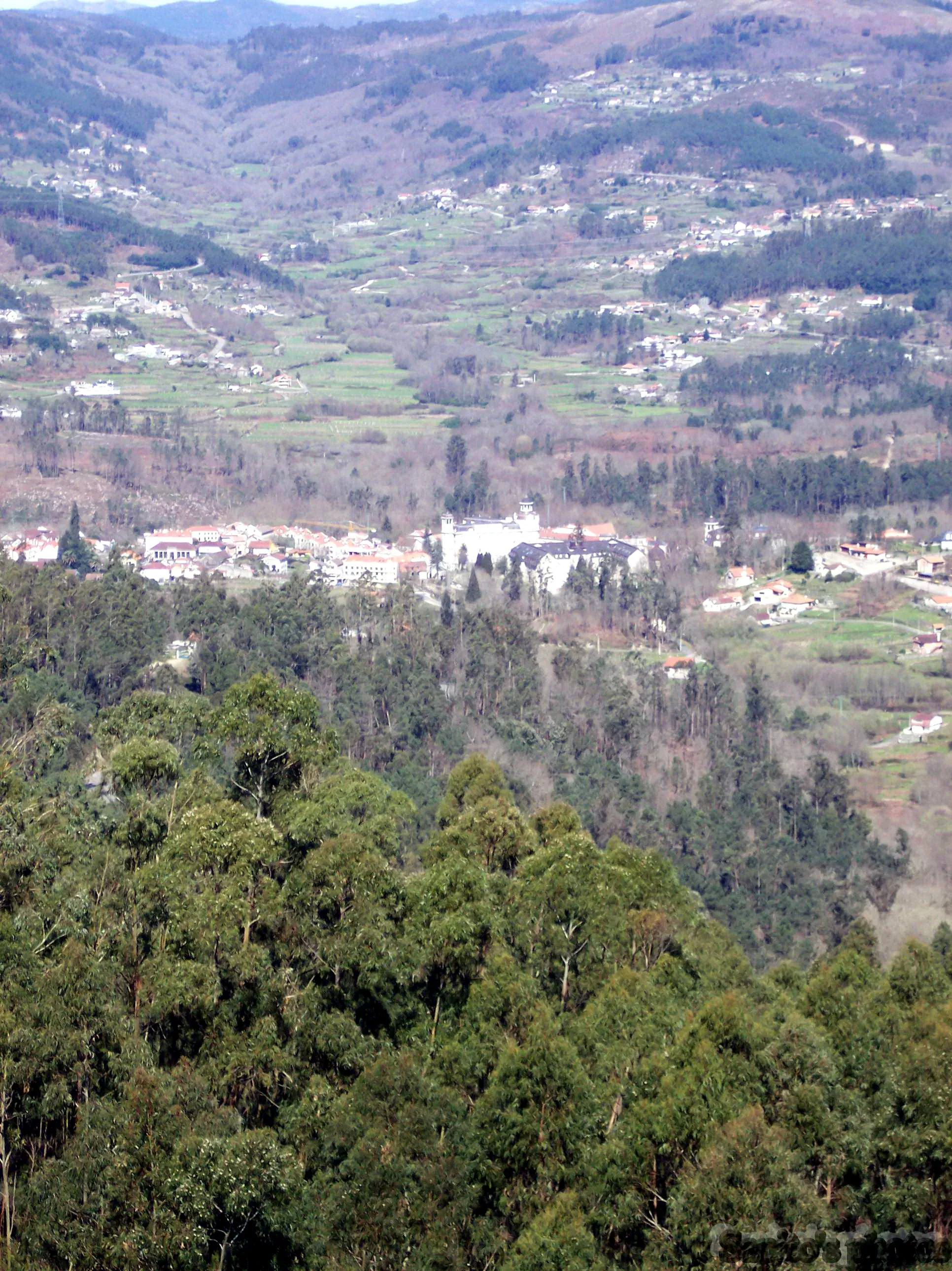
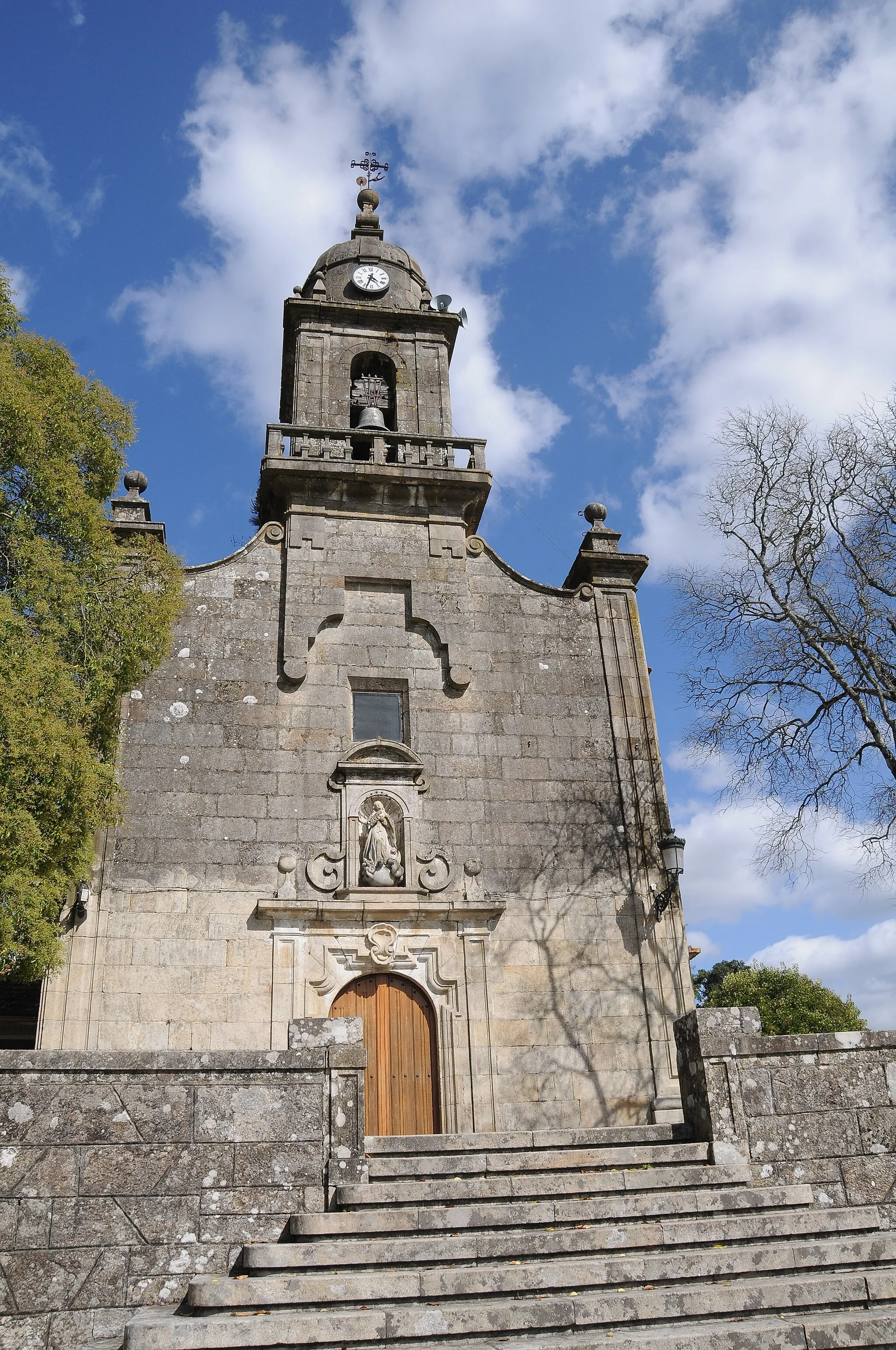
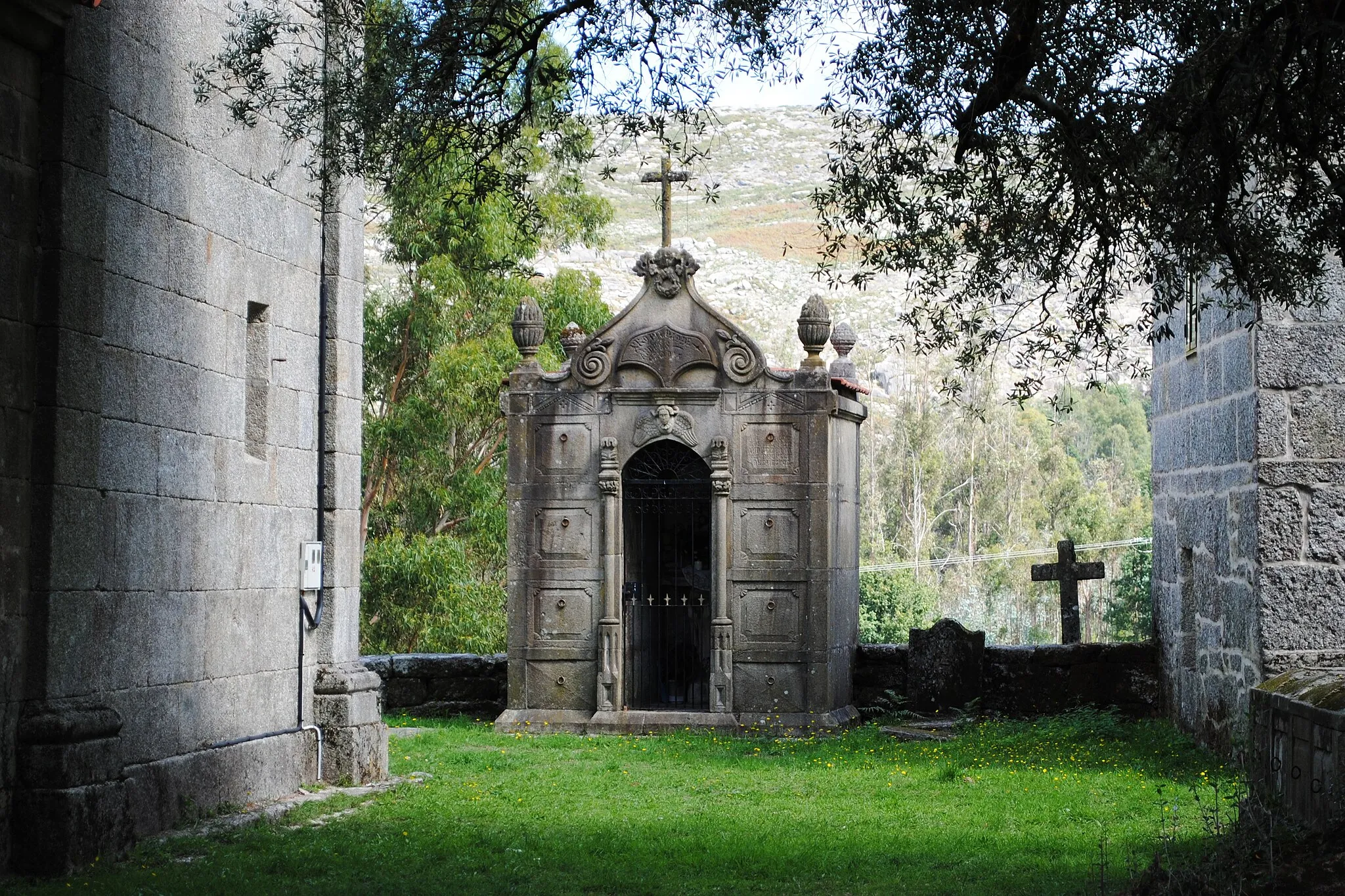
Ponteareas is a locality located in Galicia, Spain. From a cyclist's perspective, Ponteareas offers a mix of flat terrain and rolling hills, providing enjoyable routes for both road and gravel cycling. The locality is surrounded by beautiful countryside and vineyards, creating a picturesque backdrop for bike rides. While there are no famous cycling-related spots or well-known climbs in Ponteareas itself, nearby attractions such as the thermal village of Mondariz and the natural park of Monte Aloia offer additional activities and points of interest for cyclists. Ponteareas is a cycling-friendly destination for exploring the Galician region and its unique landscapes.
Discover the scenic roads of Ponteareas
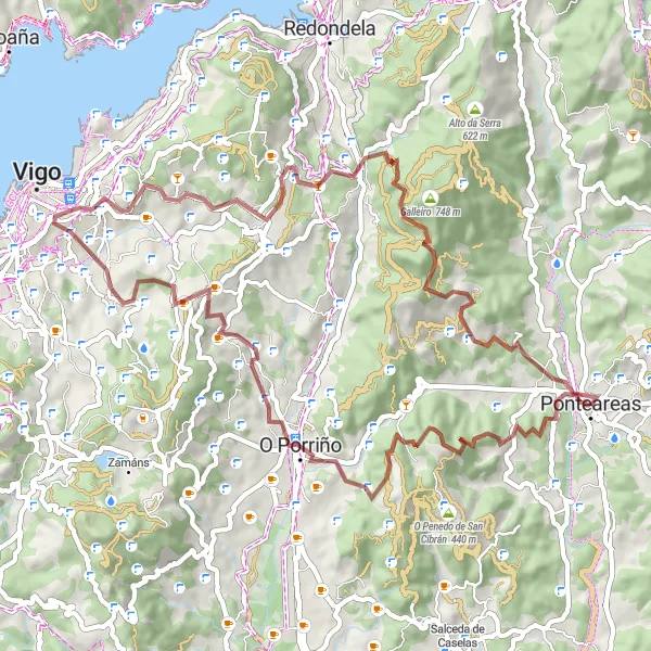
Ponteareas Discovery is an 87 km road cycling route that takes you through picturesque landscapes and charming villages. With a total ascent of 2063 m, this route provides a good challenge for intermediate riders. The difficulty level of this route is rated as 3. The epicness rating is 2, as it showcases the beauty of Ponteareas but does not have any legendary climbs or famous spots. Overall, the Ponteareas Discovery offers a delightful cycling experience in the heart of Galicia.
A challenging road route with breathtaking mountain views
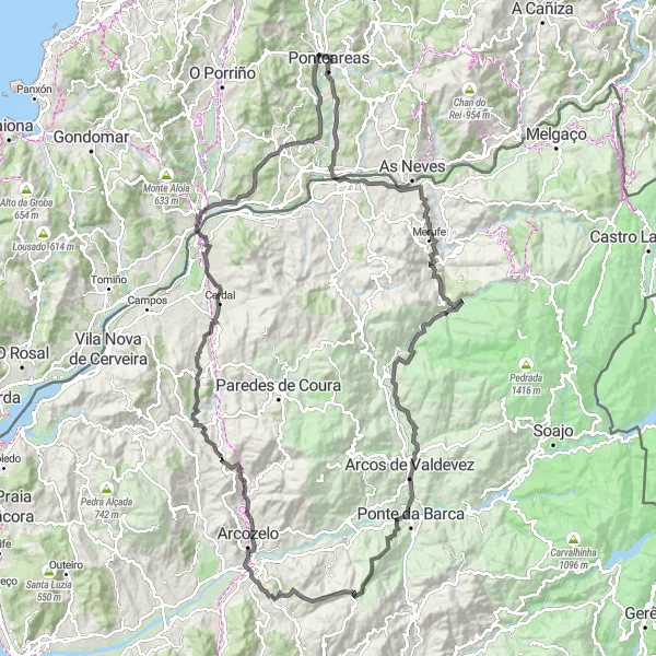
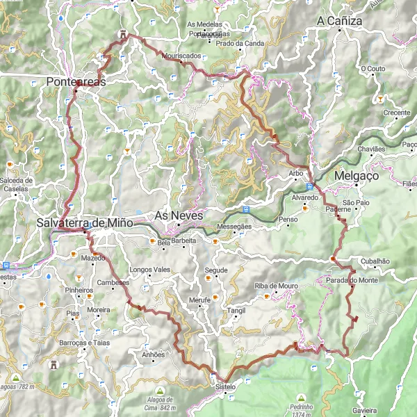
The Angoares Circuit is a challenging road cycling route starting near Ponteareas, Galicia. Spanning a distance of 154 kilometers and featuring an ascent of 2567 meters, this route offers breathtaking mountain views and a variety of terrain. Cyclists will pass through the picturesque towns of Sistelo, Giela, and São Lourenço, experiencing the rich cultural and natural beauty of the region. With a difficulty level of 4, this route is suitable for well-trained amateur cyclists seeking a satisfying challenge. The epicness rating of 4 highlights the exceptional landscapes and vistas along the way.
A thrilling road circuit with epic climbs and stunning landscapes
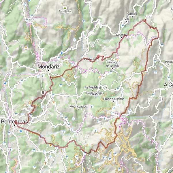
The Prado Challenge is a thrilling road cycling route starting near Ponteareas, Galicia. Stretching over 129 kilometers and featuring an ascent of 3034 meters, this route is perfect for experienced cyclists seeking a challenging ride. Highlights along the way include Coto Redondo, a natural gem with mesmerizing views, and Baluarte Nossa Senhora da Guia, a historic fortress offering panoramic vistas. With a difficulty level of 5, this route is reserved for extremely well-trained amateur cyclists. With an epicness rating of 4, riders can expect awe-inspiring landscapes and epic climbs throughout the journey.
The Montouto Gravel Adventure
A thrilling gravel route with stunning natural surroundings
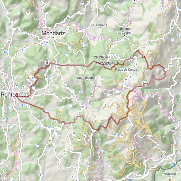
The Montouto Gravel Adventure is a thrilling cycling route starting near Ponteareas, Galicia. Designed for adventurous cyclists, this 54-kilometer gravel route features an ascent of 1466 meters and provides riders with an opportunity to experience the region's stunning natural surroundings. Highlights along the way include Alto de Montouto, a challenging climb offering breathtaking views, and Chan do Rei, a remote area renowned for its untouched beauty. With a difficulty level of 3 and an epicness rating of 3, this route is suitable for cyclists looking for a shorter but exhilarating adventure.
Explore the countryside on the scenic Cans Loop
The Cans Loop is a 66 km gravel cycling route that takes you through charming villages and beautiful rural landscapes. With a total ascent of 1742 m, this route provides a moderate challenge for experienced riders. The difficulty level of this route is rated as 4. The epicness rating is 2, as it offers scenic highlights but does not have any legendary climbs or famous cycling spots. Overall, the Cans Loop is a captivating cycling route that offers a peaceful escape into the Galician countryside.
A scenic road circuit through picturesque villages and enchanting landscapes
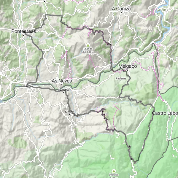
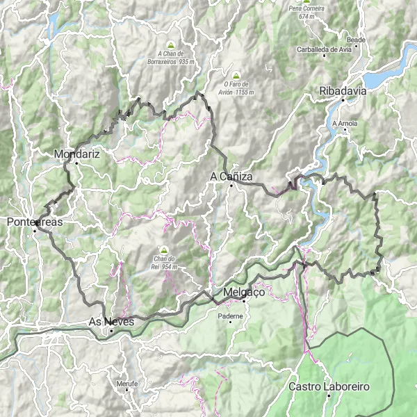
The Mondariz Escape is a scenic road cycling route starting near Ponteareas, Galicia. Covering a distance of 133 kilometers and featuring an ascent of 3035 meters, this route offers cyclists a chance to explore charming villages and experience the beauty of Galicia's landscapes. Highlights along the way include the tranquil village of Mondariz, known for its thermal springs and captivating natural scenery, and A Cañiza, a charming town famous for its traditional Galician market. With a difficulty level of 5 and an epicness rating of 4, this route is perfect for well-trained amateur cyclists seeking a challenging and rewarding adventure.
Angoares Loop
Discover the scenic gravel roads through Angoares
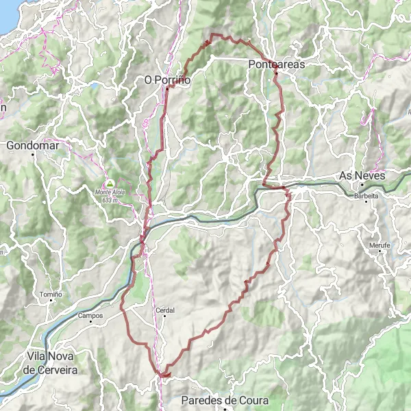
The Angoares Loop is a 92 km gravel cycling route that takes you through beautiful countryside and charming villages. With a total ascent of 1859 m, this route will challenge your endurance and provide stunning views along the way. The difficulty level of this route is rated as 3. The epicness rating is 3, as it offers great cycling experiences but does not have any legendary climbs or famous cycling spots. Overall, the Angoares Loop is a rewarding cycling route that showcases the natural beauty of Galicia.
Embark on an adventure through the enchanting landscapes of Lougares
Lougares Adventure is a 70 km gravel cycling route that takes you through enchanting forests and peaceful villages. With an ascent of 1762 m, this route offers a good challenge for intermediate riders. The difficulty level of this route is rated as 3. The epicness rating is 2, as it showcases the beauty of Lougares but does not have any legendary climbs or famous spots. Overall, the Lougares Adventure is a delightful cycling route that allows you to immerse yourself in the natural charm of Galicia.
Embark on an adventurous gravel ride through Picaraña
Picaraña Adventure is a 103 km gravel cycling route that takes you through rugged terrain and picturesque landscapes. With a challenging ascent of 2747 m, this route is suited for experienced riders. The difficulty level of this route is rated as 5. The epicness rating is 4, as it offers an epic adventure with several scenic highlights along the way. Overall, the Picaraña Adventure provides a thrilling outdoor experience in the Galician countryside.
Embark on a captivating cycling journey through the stunning landscapes of Galicia
Get ready for an unforgettable cycling adventure through the beautiful region of Galicia. This route takes you through picturesque villages, lush forests, and scenic countryside. With a challenging ascent and a total distance of 133 kilometers, this route offers a perfect mix of excitement and natural beauty.
Cycling routes nearby:


Nearby regions: