Gravel Delights
A gravel cycling route starting from Thurins
Embrace the rugged terrain on this thrilling gravel cycling expedition near Thurins.
Map
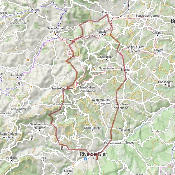
Immerse yourself in the breathtaking beauty of nature with Gravel Delights, a thrilling gravel cycling adventure near Thurins, Rhône-Alpes, France. With a total distance of 56 kilometers and an ascent of 1363 meters, this route offers a unique and challenging experience for gravel enthusiasts. Explore the unspoiled landscapes and discover hidden gems along the way.
gravel
56 km
1363 m
Tough
Route profile
Highlights on the route
0 km
0 km
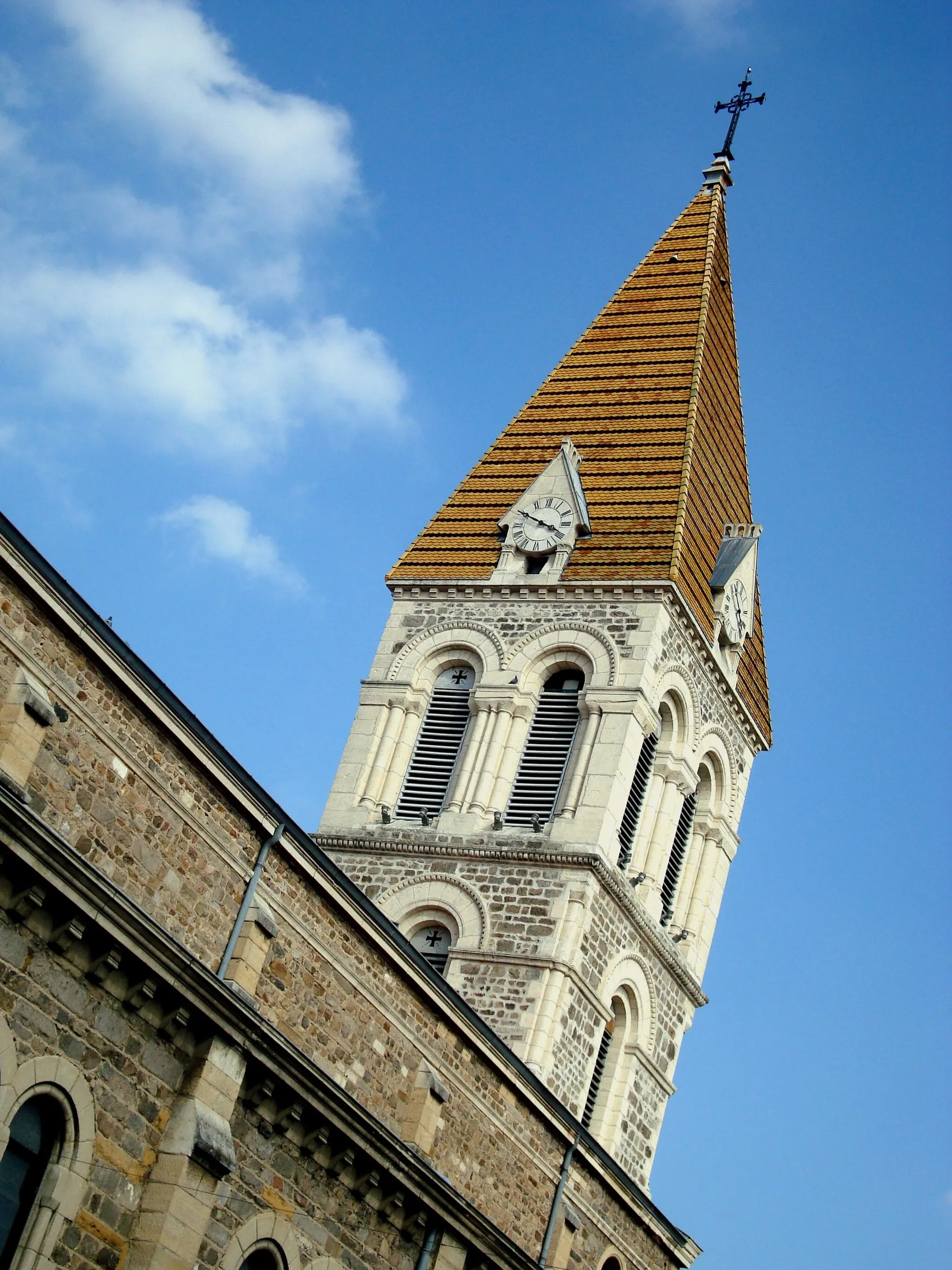
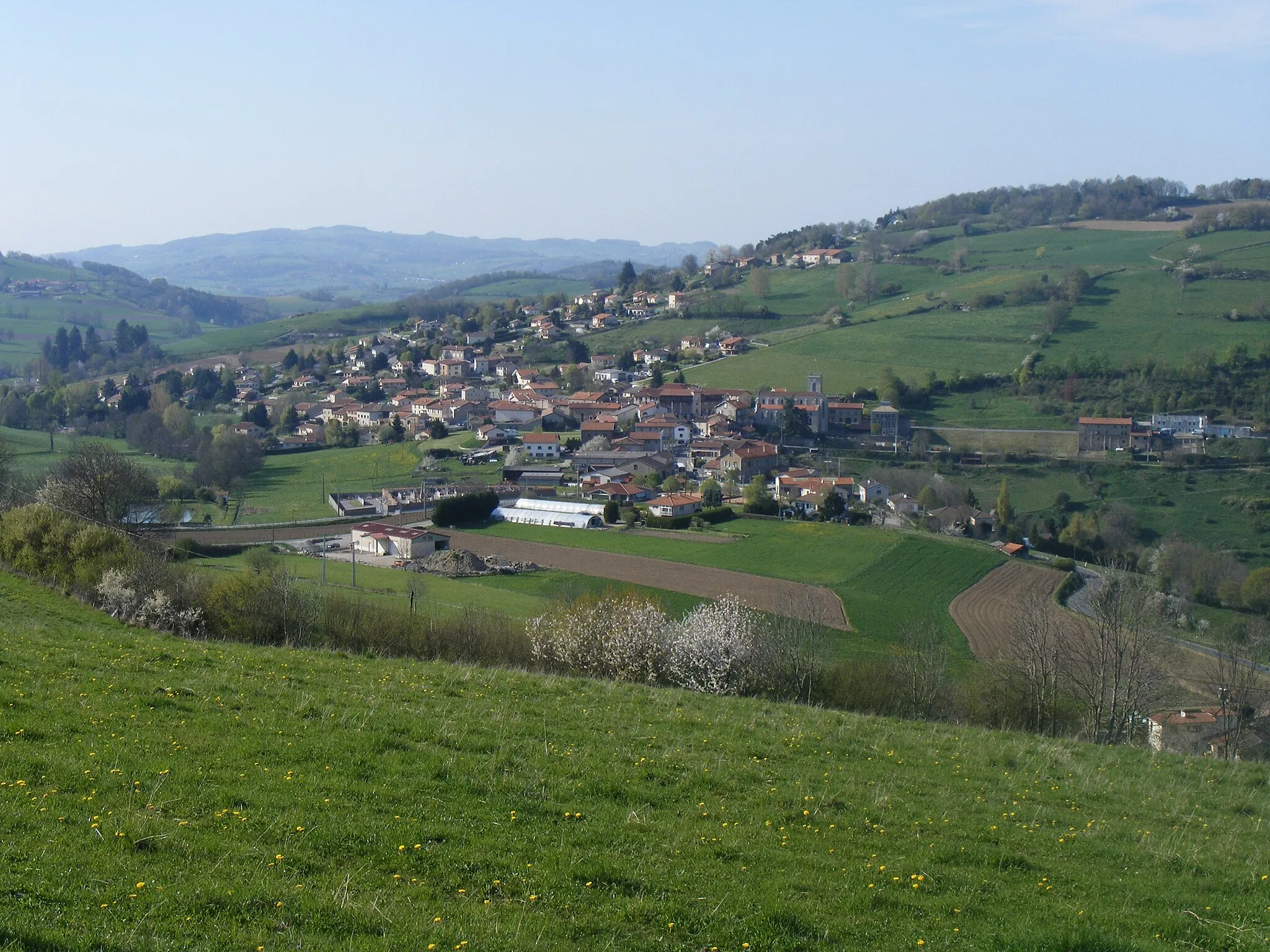
Start: Thurins Village centerThurins: Cycling Paradis in the Monts du Lyonnais
Thurins is a commune located in the Rhône-Alpes region of France. For road and gravel cyclists, Thurins offers a mix of challenging climbs and rolling hills surrounded by beautiful green landscapes. The well-paved roads around the locality are in excellent condition, providing a smooth riding experience. Thurins is popular among cyclists for its proximity to the Monts du Lyonnais, a hilly range known for its challenging climbs. The locality itself is also home to the Col du Pin Bouchain, a well-known climb that attracts cyclists from all over the region. With its picturesque scenery and cycling-friendly atmosphere, Thurins is a great destination for cyclists seeking both a physical and scenic challenge.4 km
4 km
Crêt du Bouchat586 mPeakWitness the beauty of Crêt du Bouchat and let the enchanting surroundings take your breath away.
9 km
9 km
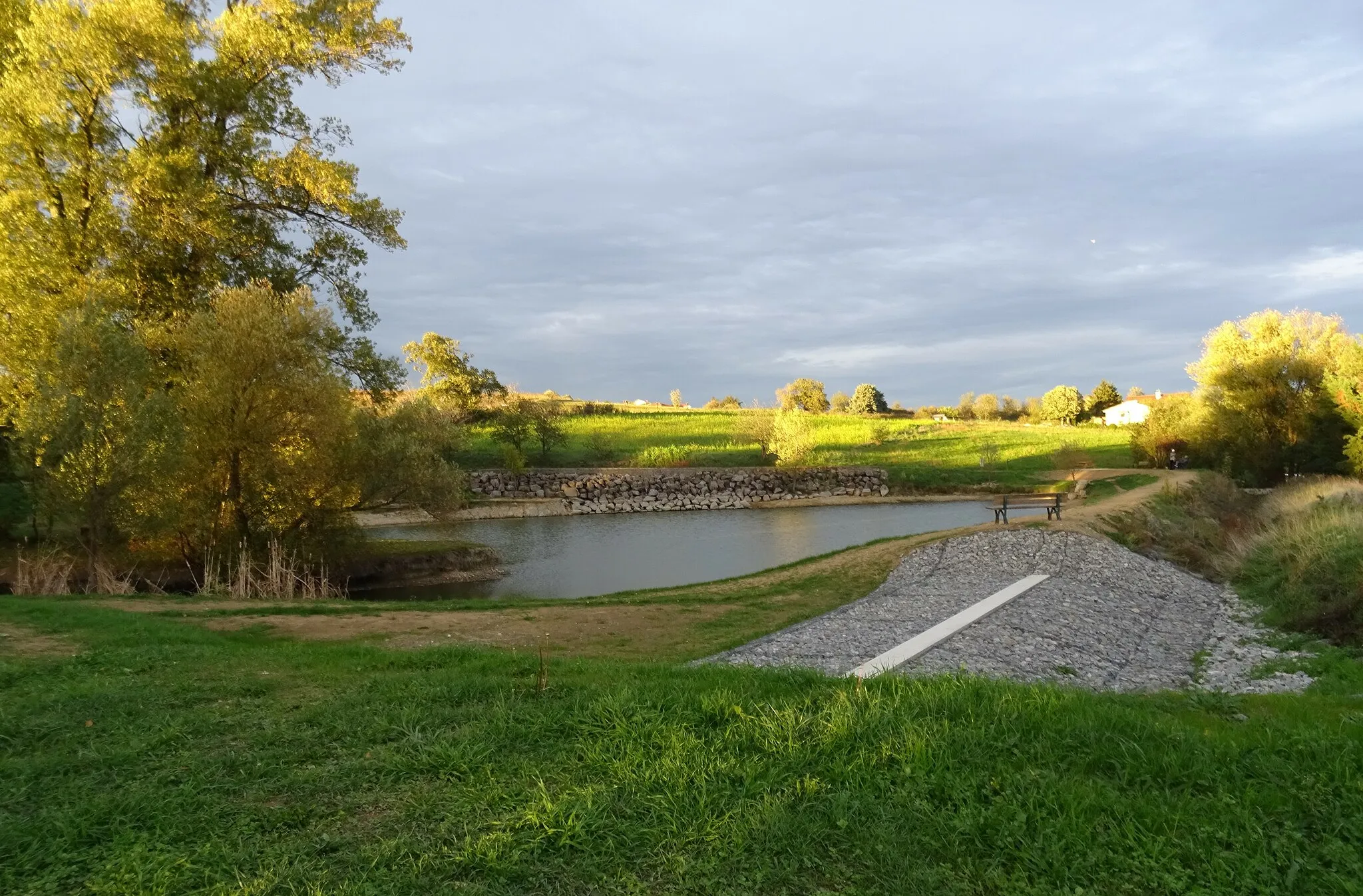
MornantVillageCycle through Mornant and enjoy the peaceful atmosphere of this charming village.
19 km
19 km
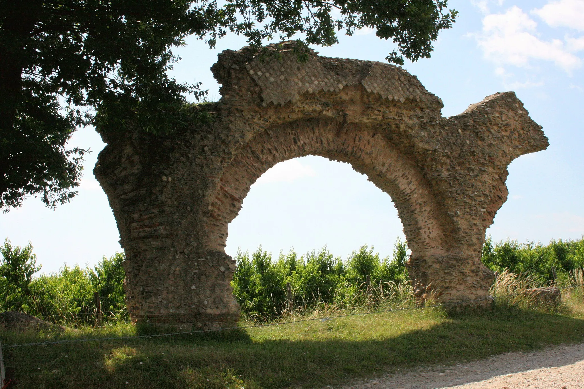
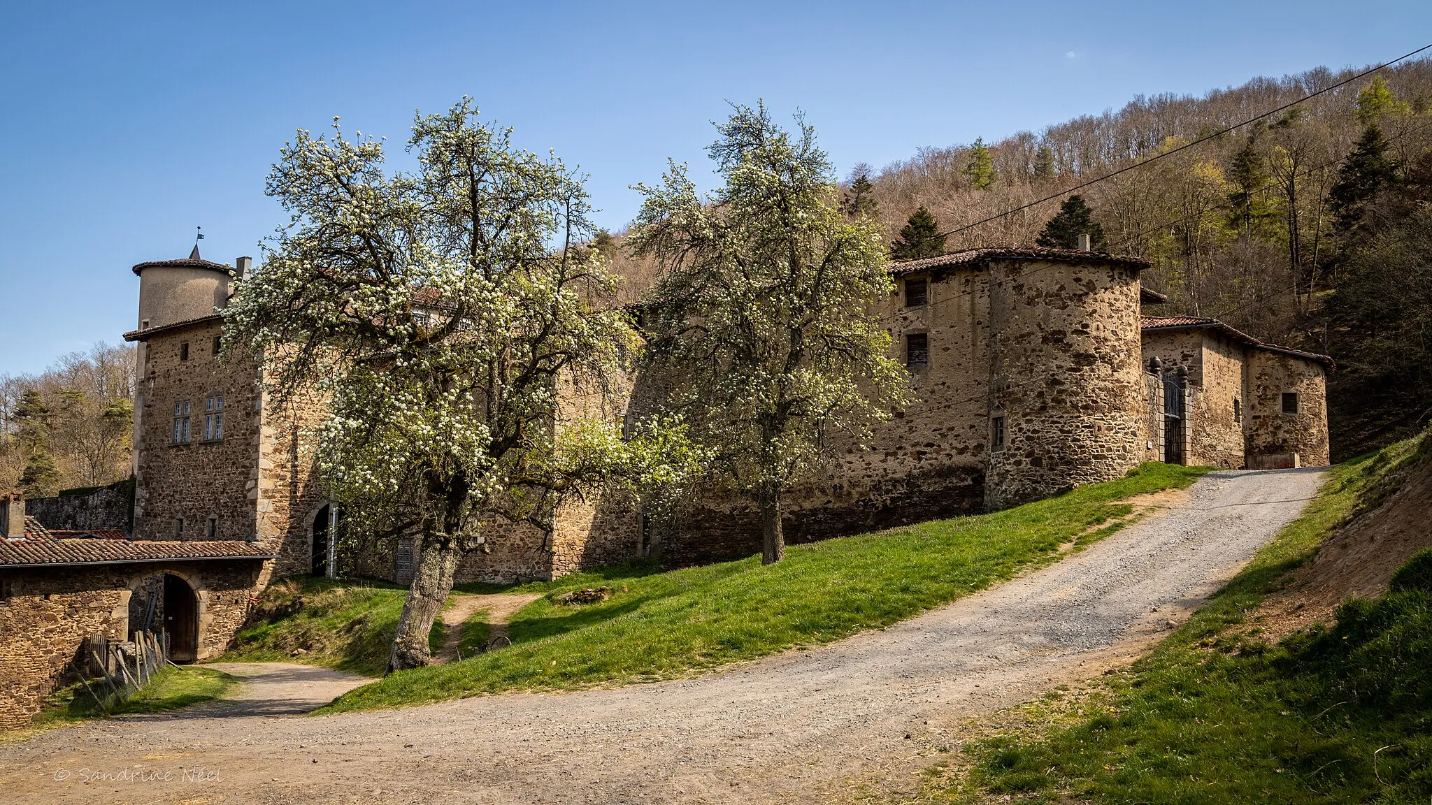
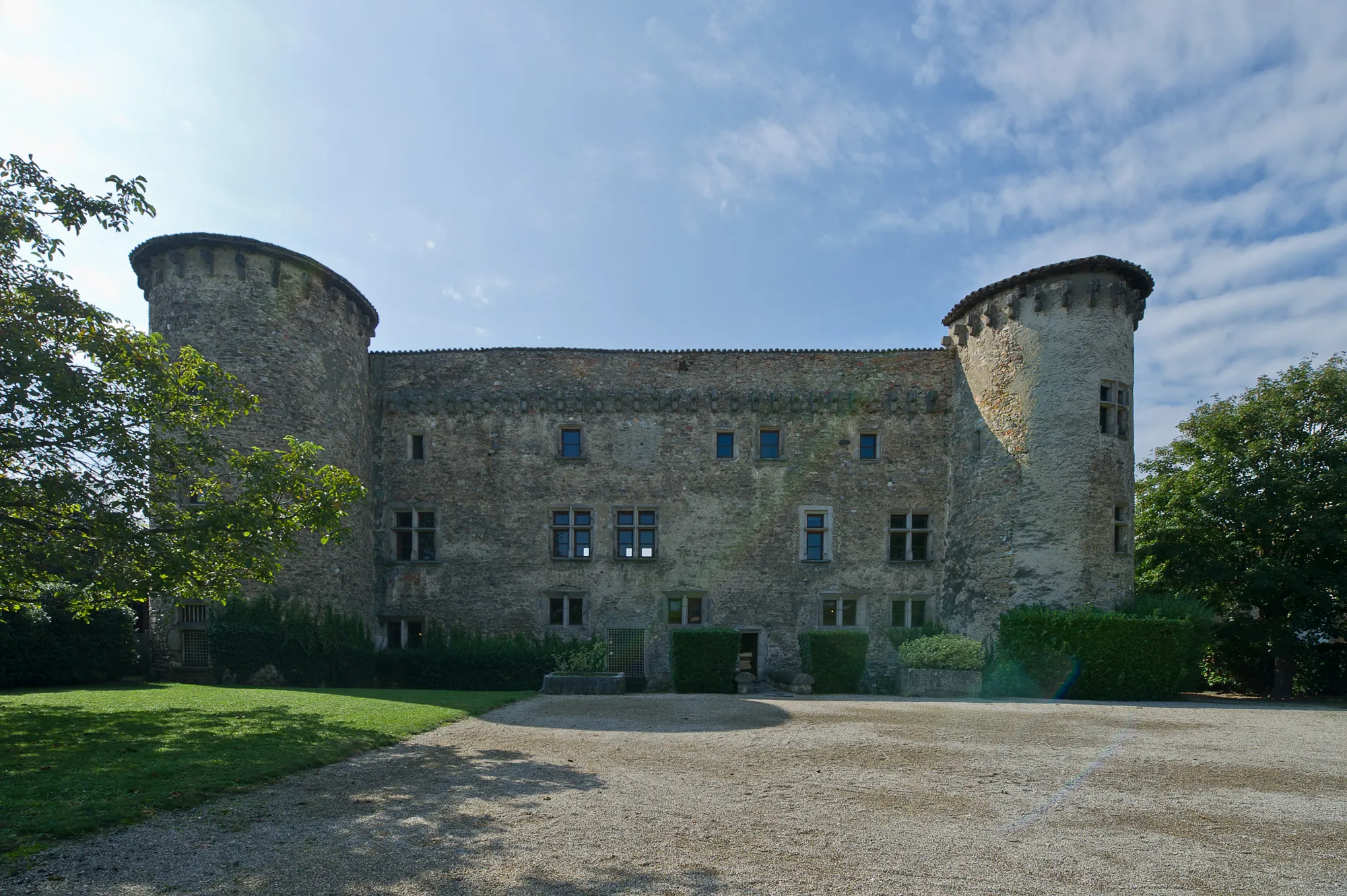
ChâteauneufVillageChâteauneuf, known for its historical significance, offers picturesque landscapes and cultural delights.
36 km
36 km
Grand Châtelard855 mPeakAs you approach Grand Châtelard, prepare to be mesmerized by the stunning views of the countryside.
38 km
38 km
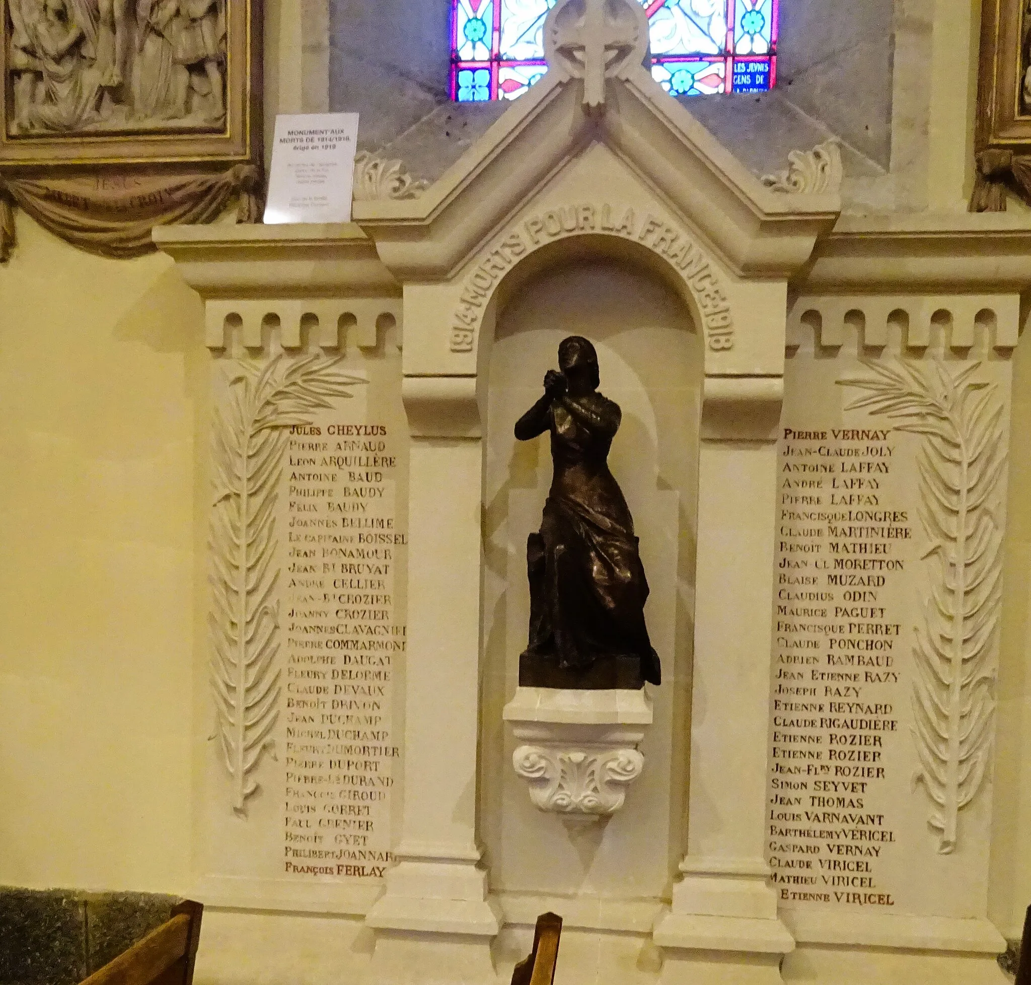
Sainte-CatherineVillageDiscover the beauty of Sainte-Catherine, a hidden gem tucked away in the heart of nature.
45 km
45 km
Signal de Saint-André934 mPeakBe awe-struck by the majestic Signal de Saint-André, an iconic landmark in the region.
54 km
54 km
Le MartinHamletLe Martin, a small village surrounded by rolling hills, offers a peaceful escape from city life.
56 km
56 km
Finish: Thurins Village centerThurins: Cycling Paradis in the Monts du Lyonnais
Cycling routes from Thurins:
Cycling routes nearby: