The Gravel Challenge
A gravel cycling route starting from Thurins
Take on The Gravel Challenge for an epic ride through rugged landscapes near Thurins.
Map
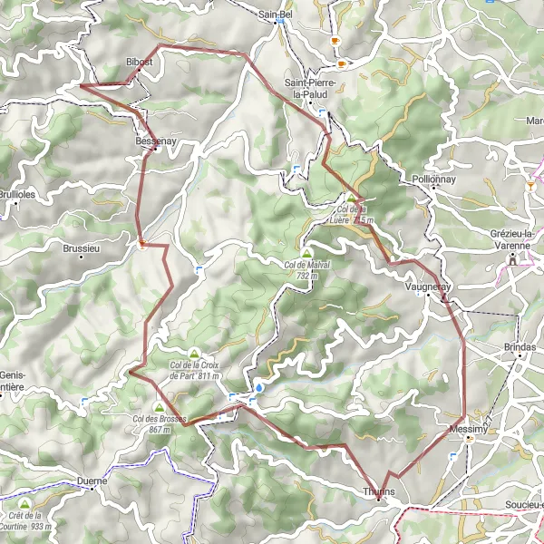
Embark on an epic gravel cycling journey through the scenic landscapes surrounding Thurins, Rhône-Alpes, France. The Gravel Challenge offers a thrilling adventure filled with exciting terrain and stunning views. Covering a distance of 49 kilometers with an ascent of 1561 meters, this route is perfect for adventurous cyclists seeking a challenging yet rewarding experience.
gravel
49 km
1561 m
Tough
Route profile
Highlights on the route
0 km
0 km
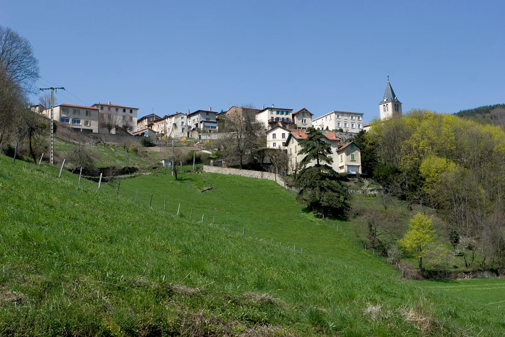
Start: Thurins Village centerThurins: Cycling Paradis in the Monts du Lyonnais
Thurins is a commune located in the Rhône-Alpes region of France. For road and gravel cyclists, Thurins offers a mix of challenging climbs and rolling hills surrounded by beautiful green landscapes. The well-paved roads around the locality are in excellent condition, providing a smooth riding experience. Thurins is popular among cyclists for its proximity to the Monts du Lyonnais, a hilly range known for its challenging climbs. The locality itself is also home to the Col du Pin Bouchain, a well-known climb that attracts cyclists from all over the region. With its picturesque scenery and cycling-friendly atmosphere, Thurins is a great destination for cyclists seeking both a physical and scenic challenge.5 km
5 km
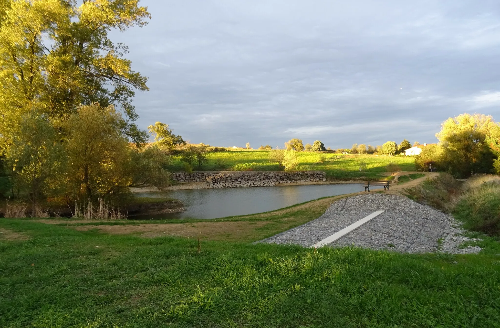
YzeronVillageImmerse yourself in nature as you ride through the picturesque Yzeron.
8 km
8 km
Col des Brosses867 mMountain PassConquer the challenging Col des Brosses and embrace the sense of achievement upon reaching the summit.
25 km
25 km
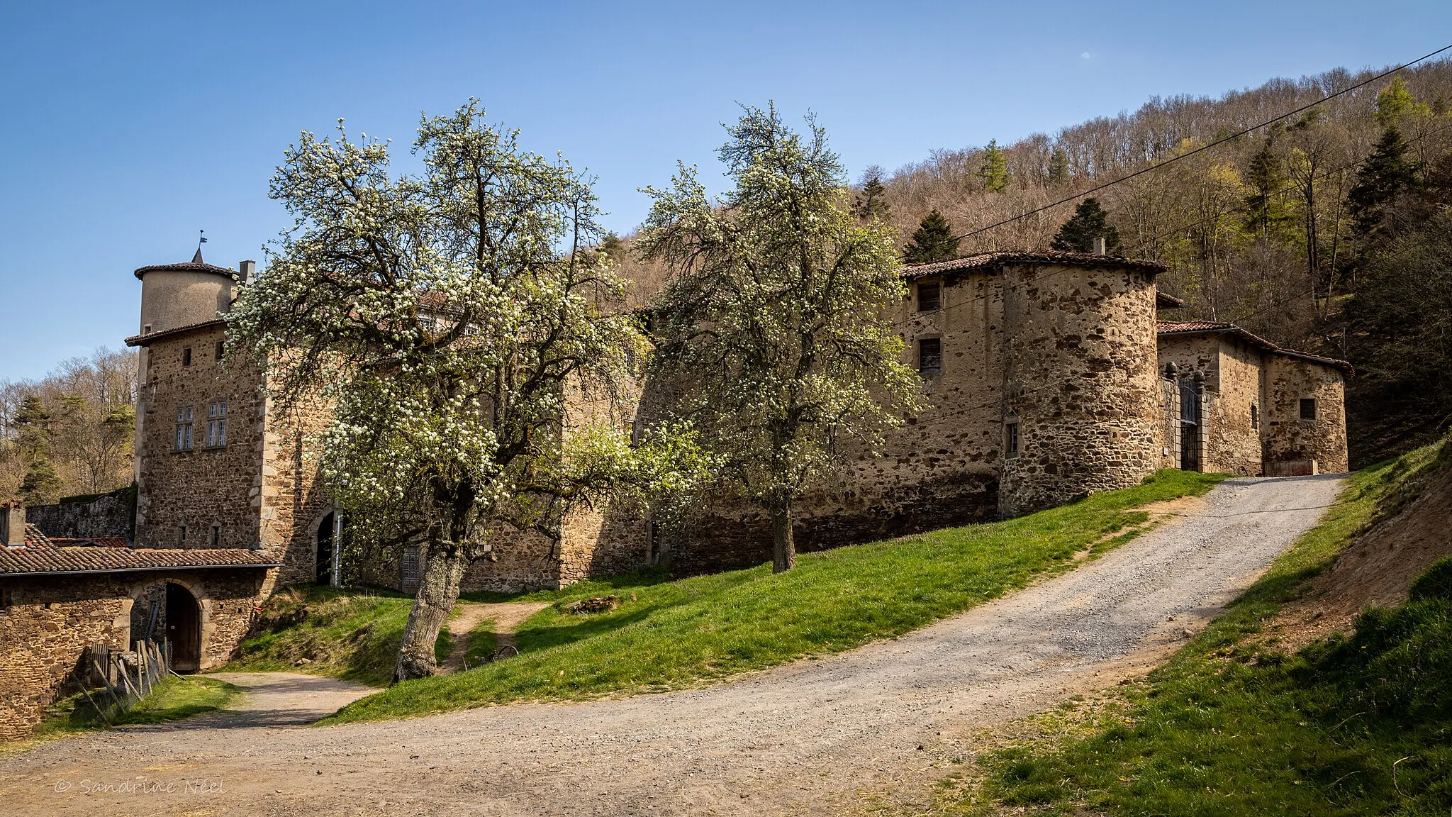
BibostVillageBibost, with its small-town feel, offers a delightful escape into rural life.
31 km
31 km
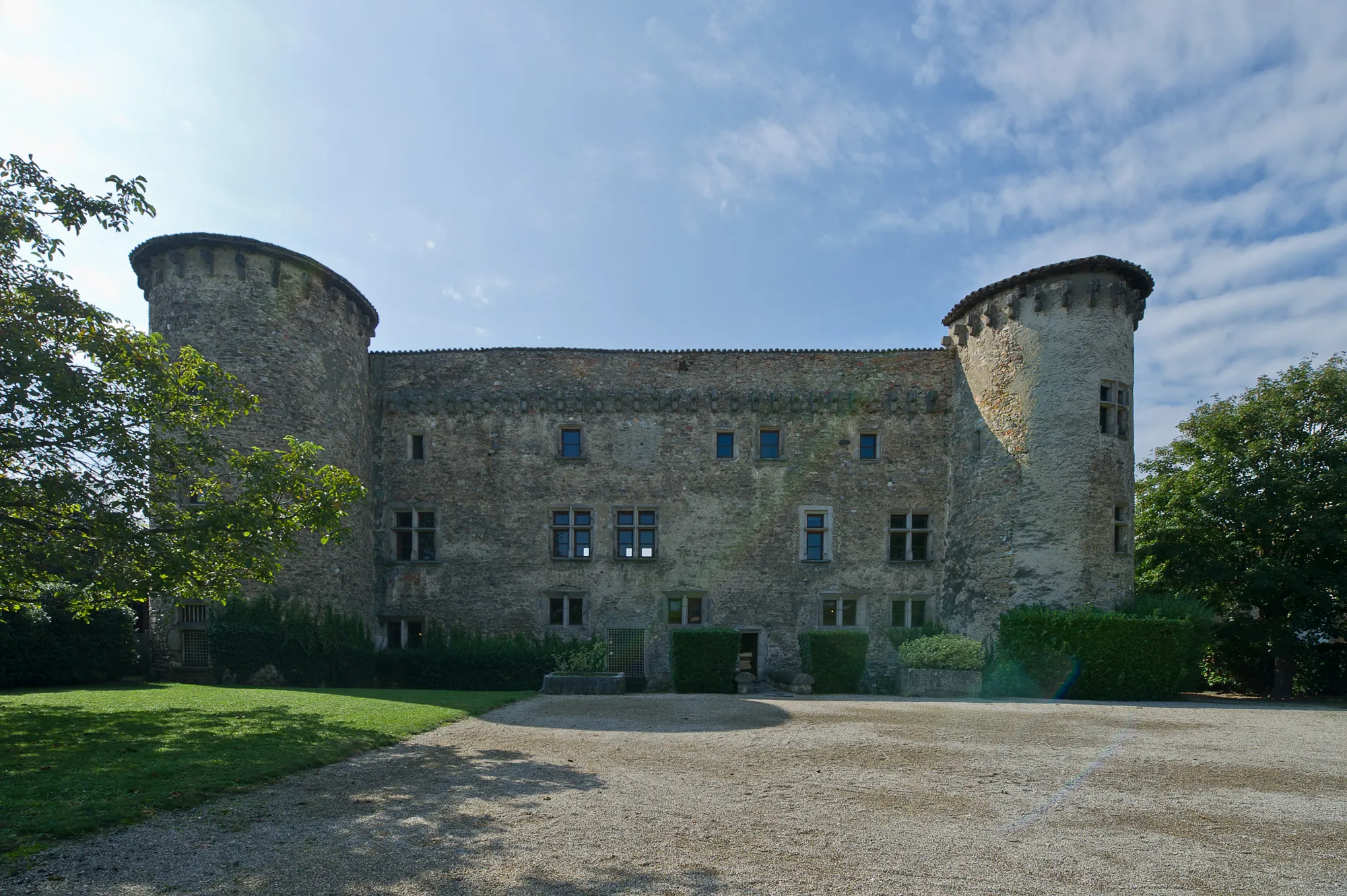
Saint-Pierre-la-PaludVillageExperience the tranquility of Saint-Pierre-la-Palud and revel in its remarkable natural beauty.
35 km
35 km
Col de la Luère715 mMountain PassChallenge yourself with the ascent of Col de la Luère, offering panoramic views of the surrounding landscape.
49 km
49 km
ThurinsVillageConclude your adventure in Thurins and celebrate your accomplishment amidst breathtaking scenery.
49 km
49 km
Finish: Thurins Village centerThurins: Cycling Paradis in the Monts du Lyonnais
Cycling routes from Thurins:
Cycling routes nearby: