Serene Scenic Road Tour near Thurins
A road cycling route starting from Thurins
Embrace the peace and tranquility on this scenic road tour near Thurins
Map
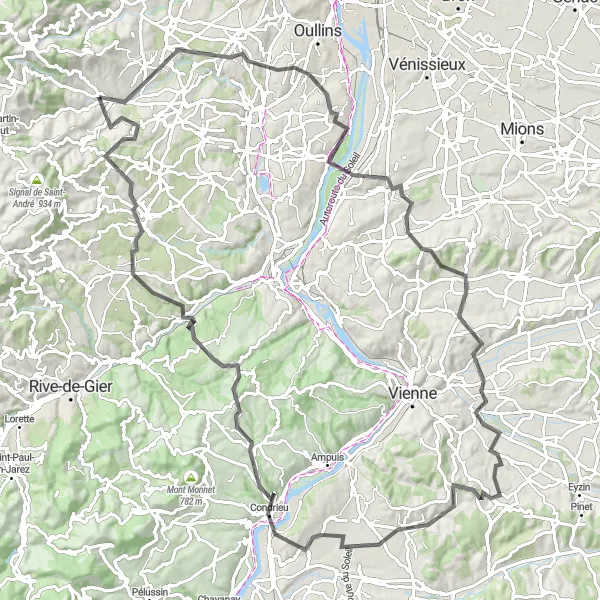
Immerse yourself in the serenity of the countryside with this road cycling route near Thurins. Spanning 110 km with an elevation gain of 1826 meters, the route offers a challenging yet rewarding experience. Explore the charming villages of Saint-Genis-Laval, Serpaize, and Les Roches-de-Condrieu, each adding their own distinctive character to the journey. Admire the stunning landscapes of Les Côtes-d'Arey and Échalas, offering picturesque views at every turn. The route also passes through Mornant and the iconic Crêt du Bouchat, providing a perfect blend of natural beauty and cultural highlights.
road
110 km
1826 m
Tough
Route profile
Highlights on the route
0 km
0 km
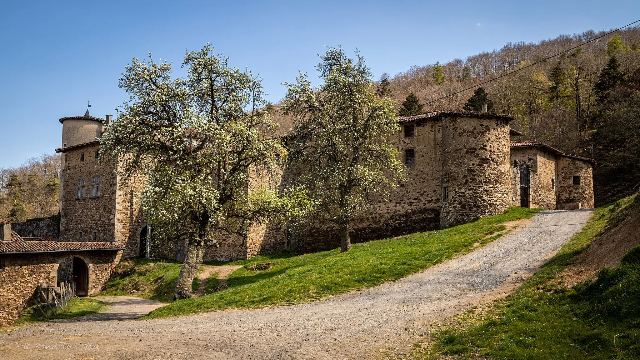
Start: Thurins Village centerThurins: Cycling Paradis in the Monts du Lyonnais
Thurins is a commune located in the Rhône-Alpes region of France. For road and gravel cyclists, Thurins offers a mix of challenging climbs and rolling hills surrounded by beautiful green landscapes. The well-paved roads around the locality are in excellent condition, providing a smooth riding experience. Thurins is popular among cyclists for its proximity to the Monts du Lyonnais, a hilly range known for its challenging climbs. The locality itself is also home to the Col du Pin Bouchain, a well-known climb that attracts cyclists from all over the region. With its picturesque scenery and cycling-friendly atmosphere, Thurins is a great destination for cyclists seeking both a physical and scenic challenge.14 km
14 km
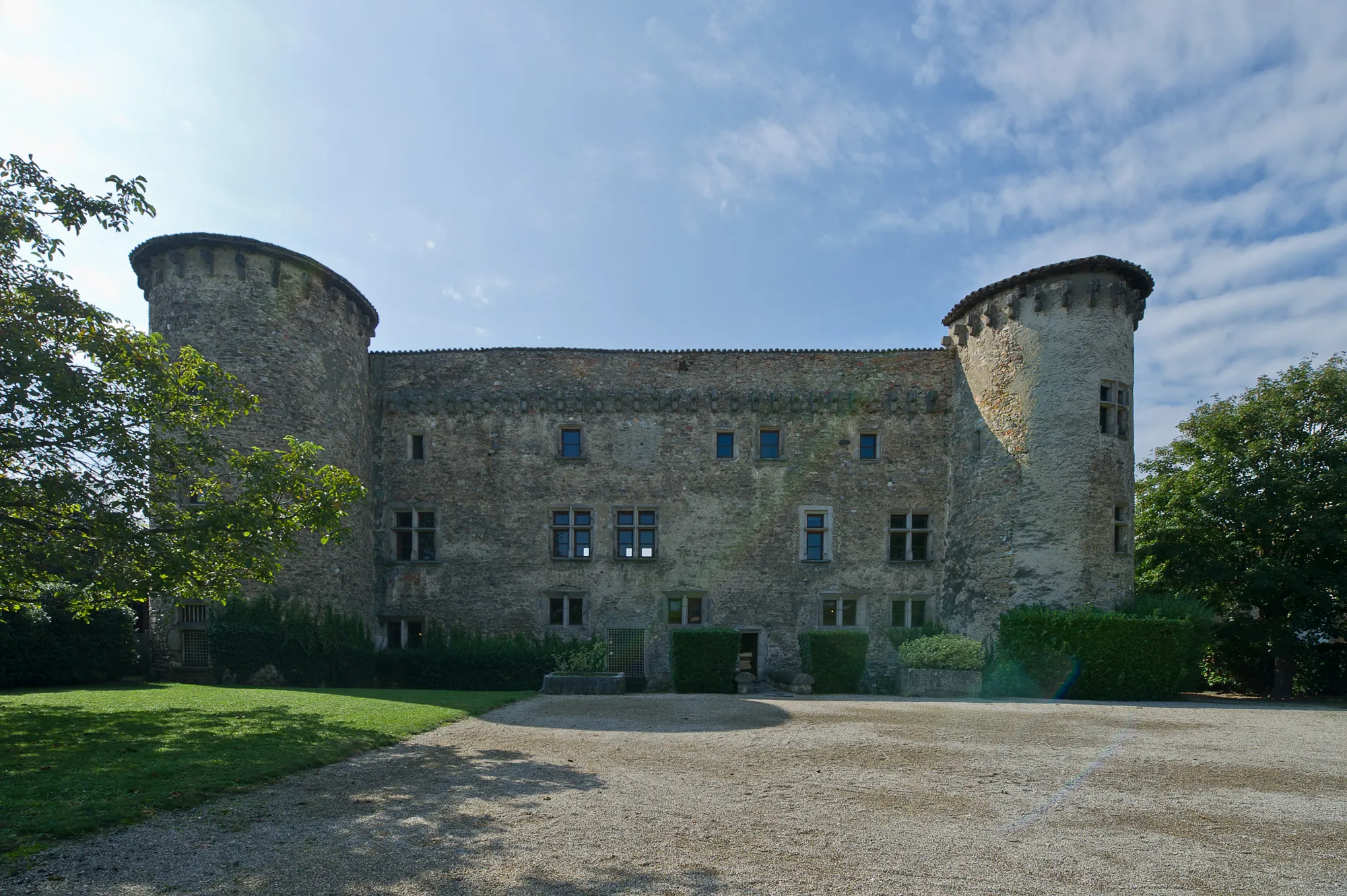
Saint-Genis-LavalTownSaint-Genis-Laval is famous for its beautiful château and peaceful gardens, perfect for a relaxing break.
38 km
38 km
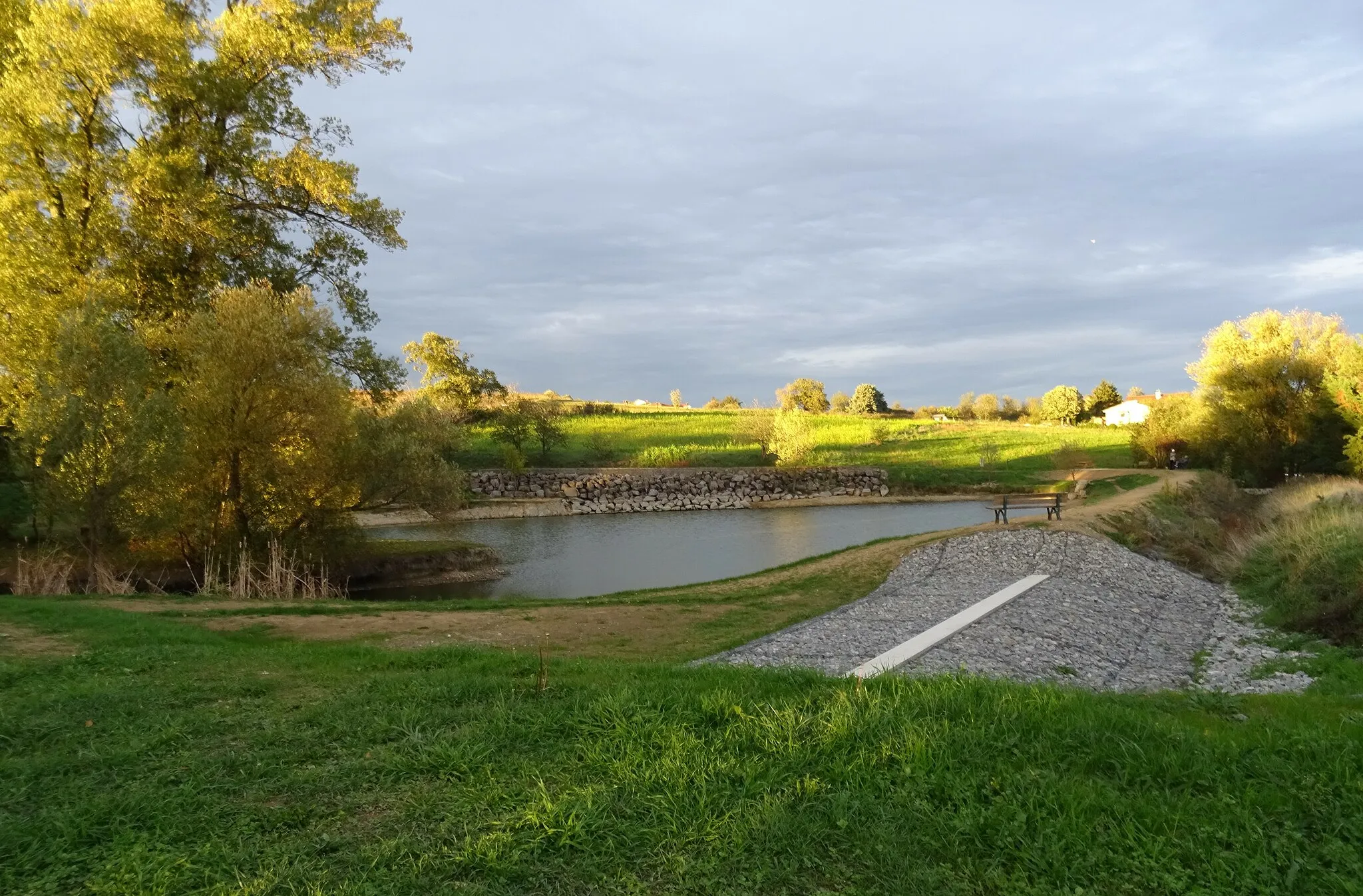
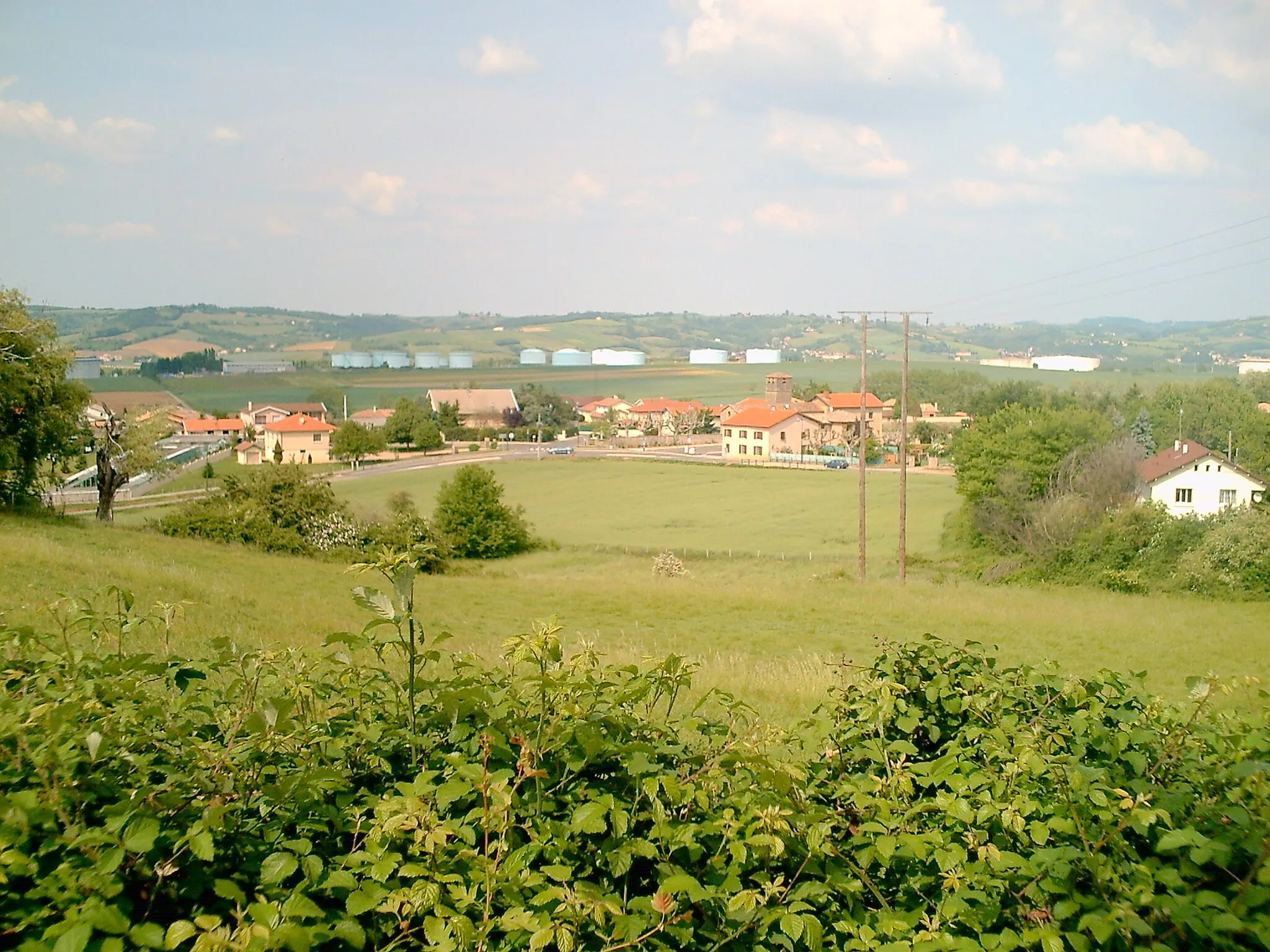
SerpaizeVillageSerpaize is situated on the banks of the Rhône River and offers stunning views of the water.
59 km
59 km
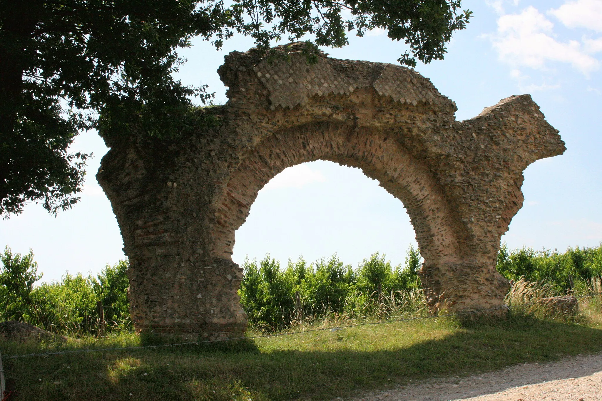
Les Côtes-d'AreyVillageLes Côtes-d'Arey is a small village nestled amongst rolling hills and vineyards, creating a captivating backdrop for cyclists.
69 km
69 km
Les Roches-de-CondrieuVillageLes Roches-de-Condrieu is a charming riverside town, known for its famous vineyards and wine production.
85 km
85 km
ÉchalasVillageÉchalas is a picturesque village surrounded by terraced vineyards, producing high-quality wines.
97 km
97 km
MornantVillageMornant is a delightful village with well-preserved architecture and a rich cultural heritage.
103 km
103 km
Crêt du Bouchat586 mPeakCrêt du Bouchat offers breathtaking views over the countryside, providing a perfect spot for a break.
110 km
110 km
Finish: Thurins Village centerThurins: Cycling Paradis in the Monts du Lyonnais
Cycling routes from Thurins:
Cycling routes nearby: