Gravel Adventure
A gravel cycling route starting from Alsdorf
Embark on an exciting gravel adventure through the scenic countryside near Alsdorf.
Map
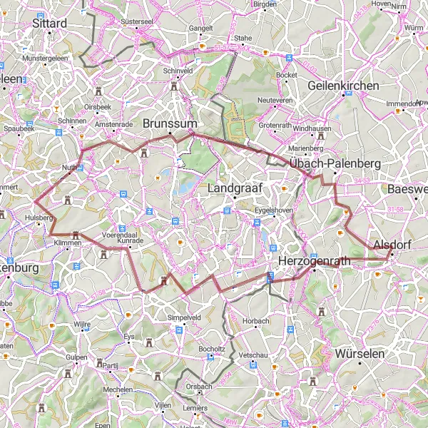
Experience the thrill of off-road cycling on this gravel adventure route. With a total ascent of 480 meters and a distance of 61 kilometers, this route takes you through diverse landscapes, charming villages, and historic sites. The Gravel Adventure is perfect for cyclists looking for a mix of challenging terrain and natural beauty.
gravel
61 km
480 m
Tough
Route profile
Highlights on the route
0 km
0 km
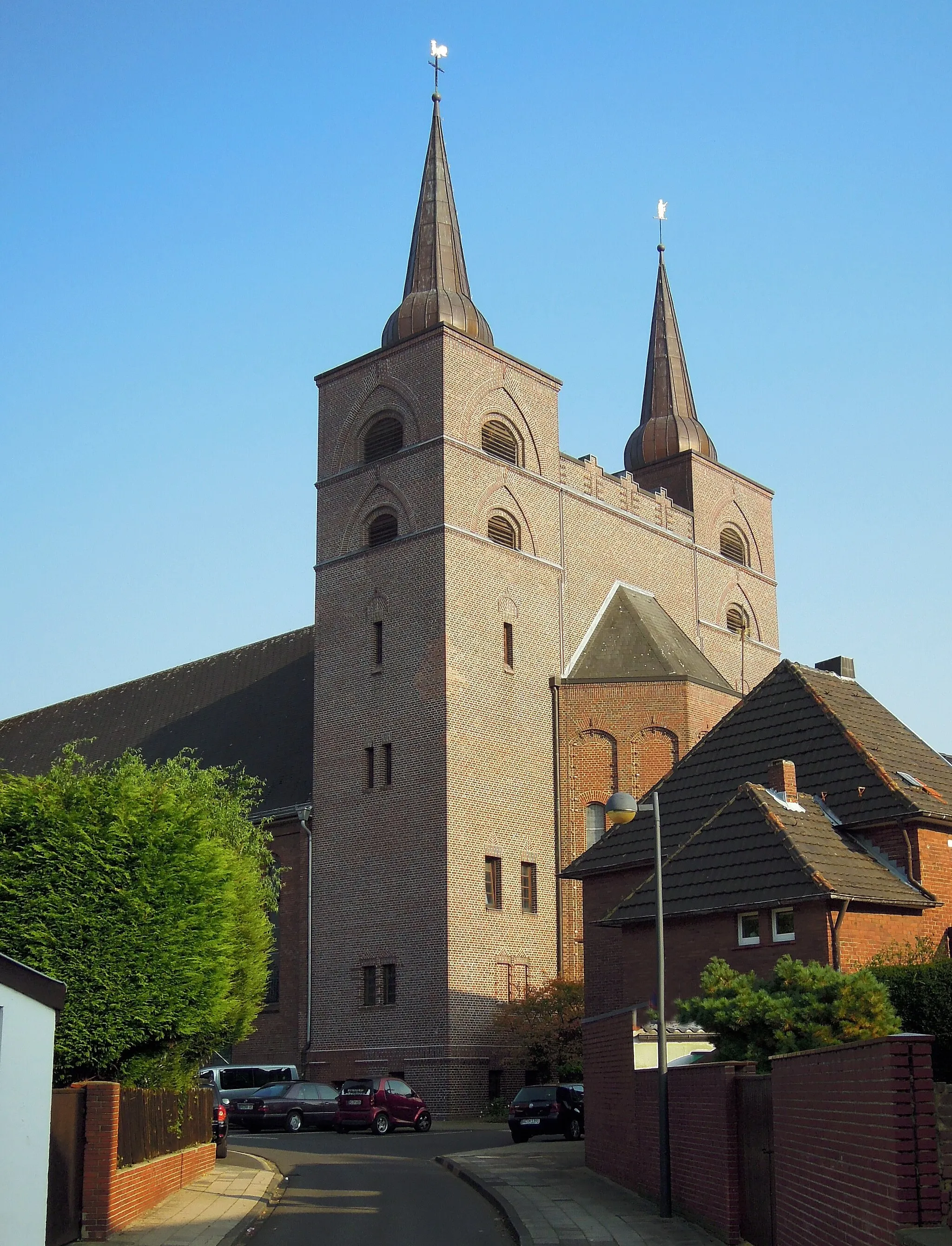
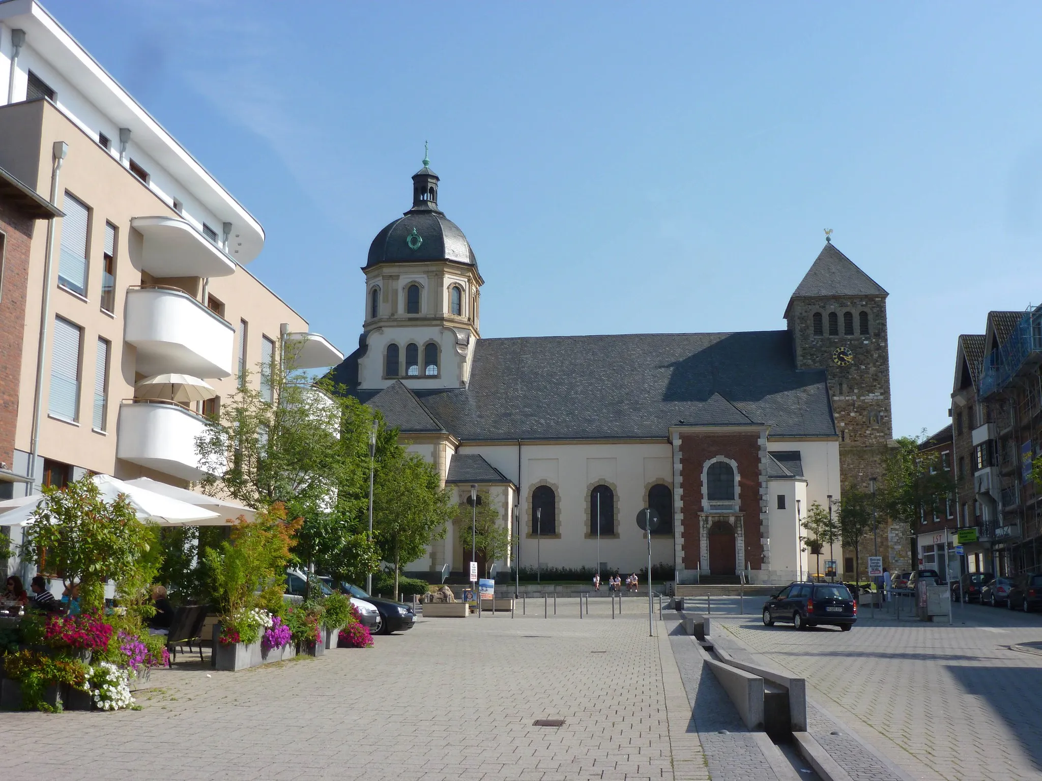
Start: Alsdorf City centerAlsdorf: A mix of urban routes and rural landscapes for diverse cycling.
Alsdorf, located in Köln, Germany, is a decent locality for both road and gravel cyclists. The area offers a mixture of urban routes and rural landscapes, providing diverse cycling opportunities. Cyclists can explore well-maintained bike paths and quiet roads that lead to scenic spots such as Grube Anna, a former coal mine turned nature park. Although not the most cycling-focused destination, Alsdorf still offers enjoyable rides and a mix of urban and natural surroundings.1 km
1 km
Bergehalde Anna II231 mPeakBergehalde Anna II offers a unique viewpoint with panoramic vistas over the surrounding landscape.
6 km
6 km
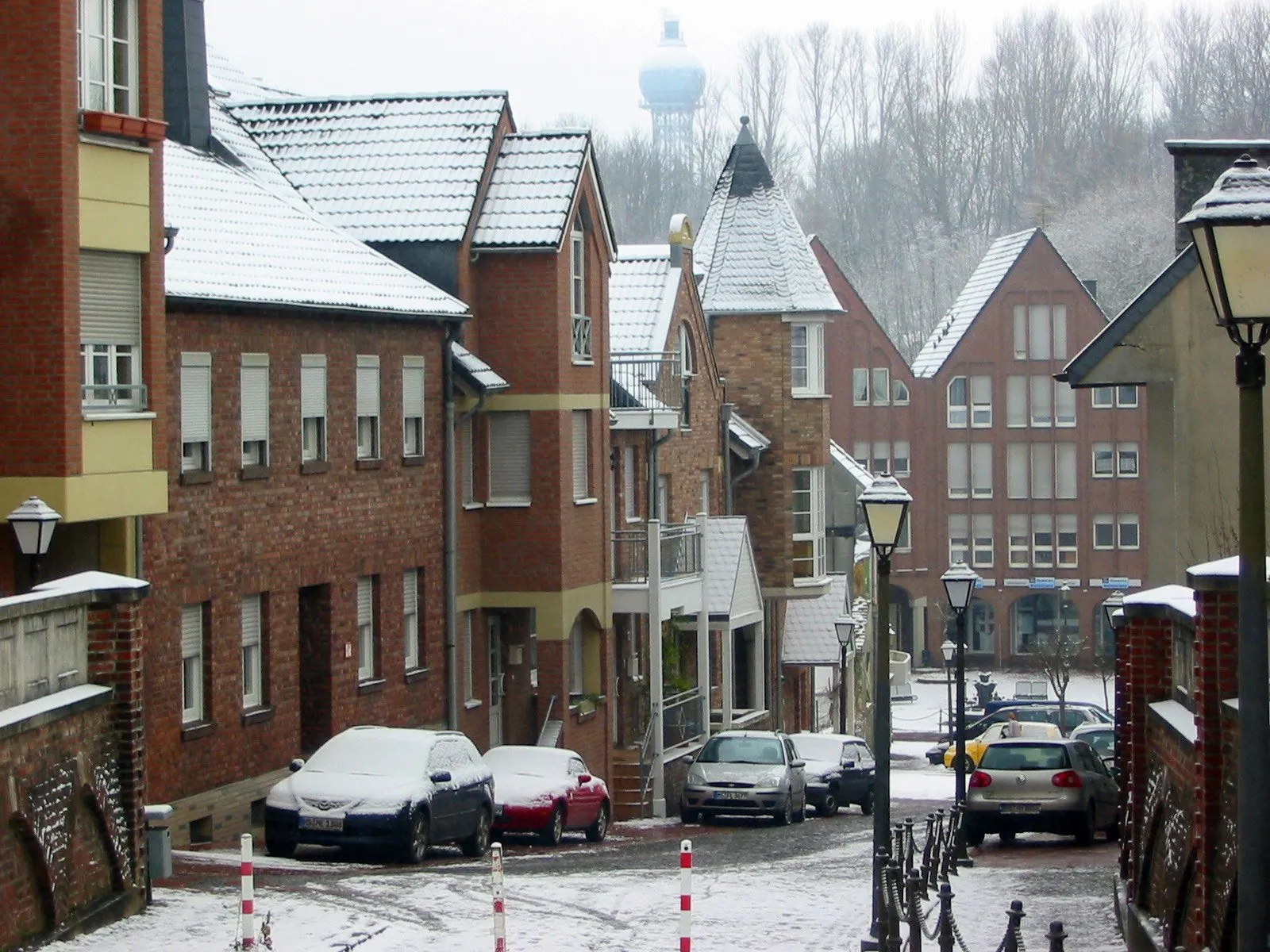
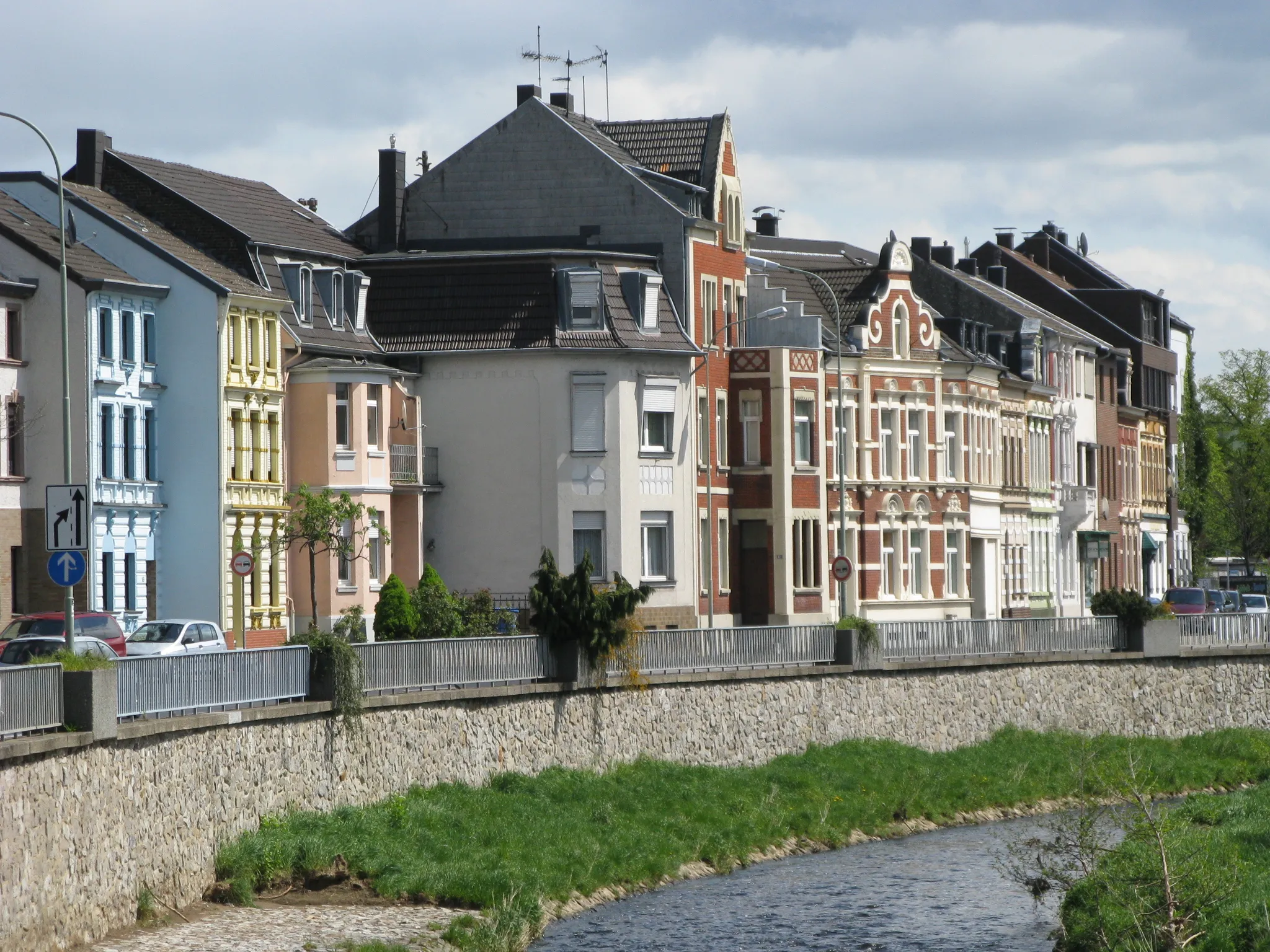
HerzogenrathTownHerzogenrath is a delightful town with a rich mining history and beautiful architecture.
20 km
20 km
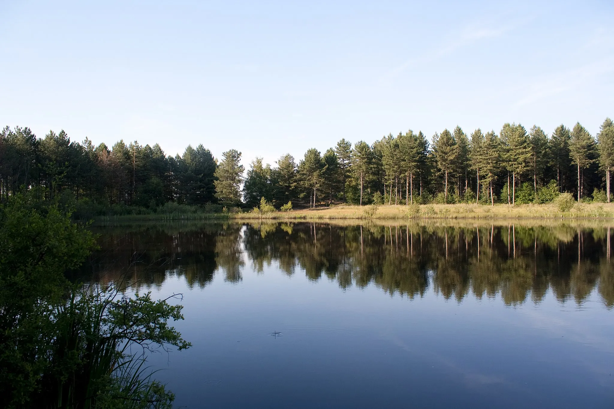
UbachsbergVillageUbachsberg is known for its rugged trails, making it a favorite spot among gravel enthusiasts.
38 km
38 km
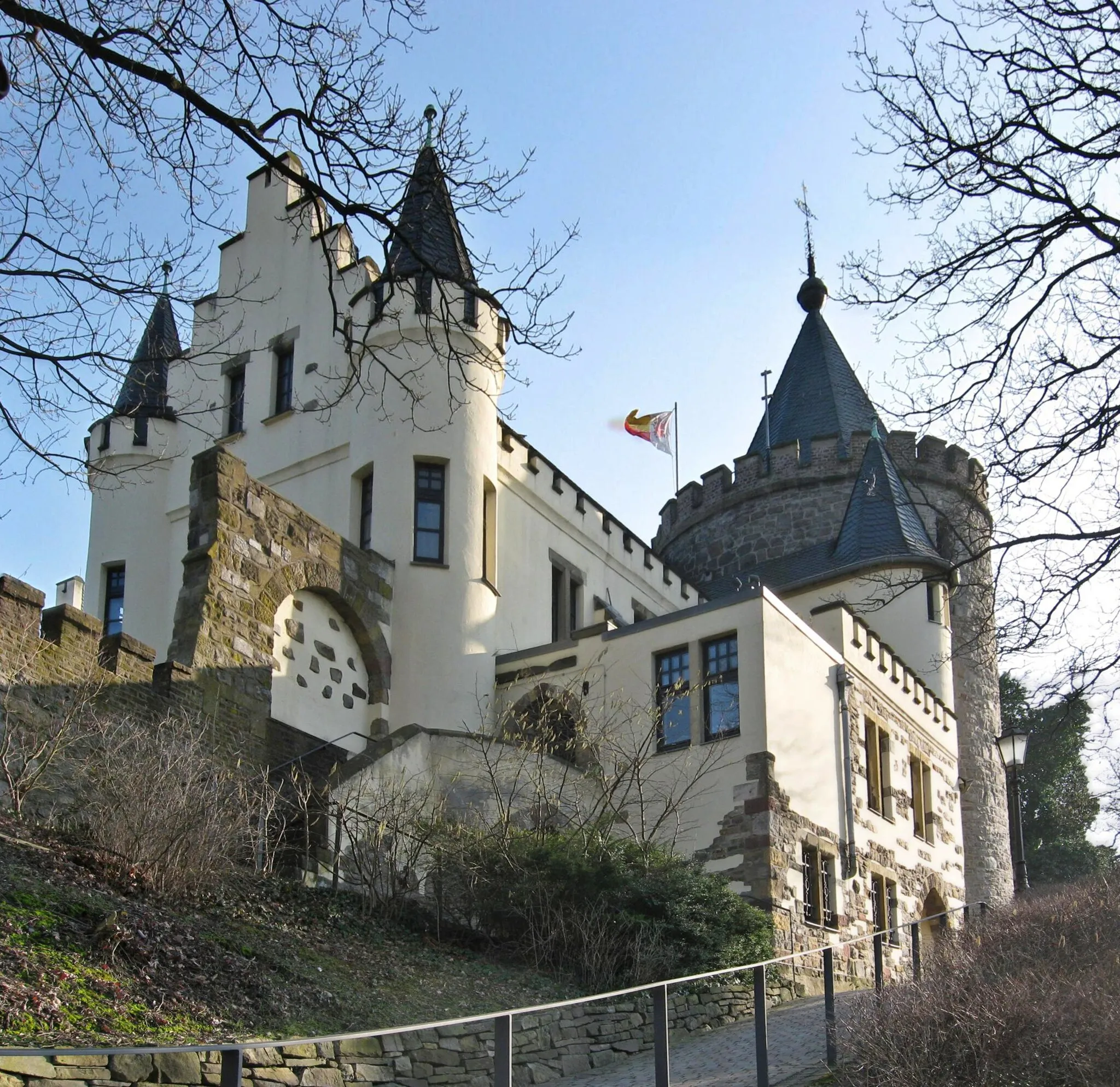
HoensbroekSub-urbHoensbroek Castle is a must-visit attraction, showcasing centuries of history and stunning architecture.
52 km
52 km
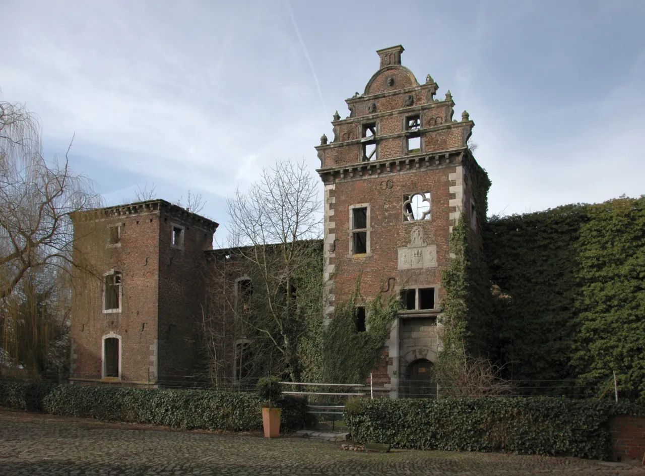
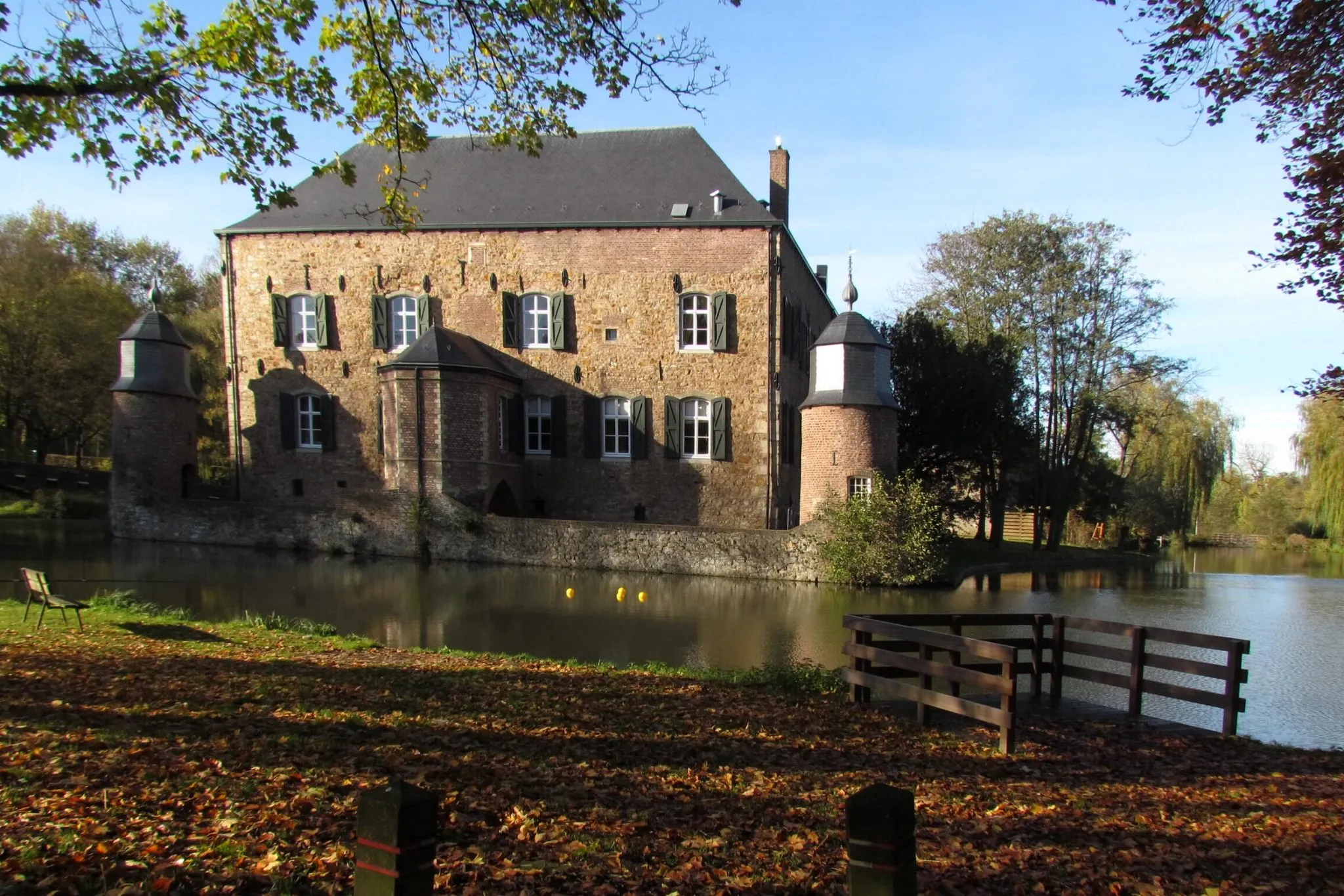
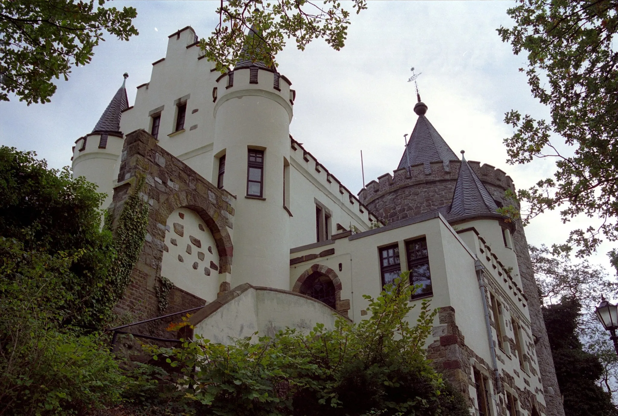
Schloß RimburgCastleSchloß Rimburg is a medieval castle that offers a glimpse into the region's rich past.
58 km
58 km
GipfelblickViewpointGipfelblick is a popular viewpoint with panoramic views over the surrounding countryside.
61 km
61 km
Finish: Alsdorf City centerAlsdorf: A mix of urban routes and rural landscapes for diverse cycling.
Cycling routes nearby: