Picturesque Gravel Loop
A gravel cycling route starting from Alsdorf
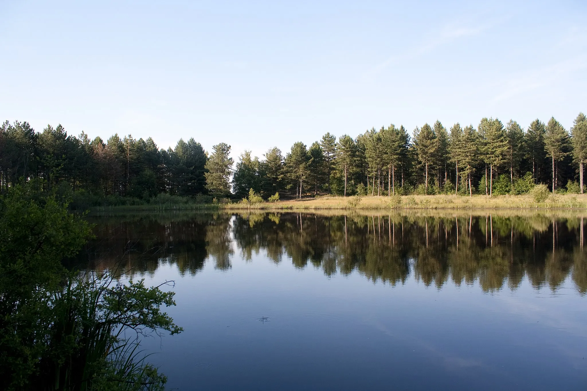
Discover picturesque landscapes on this scenic gravel loop.
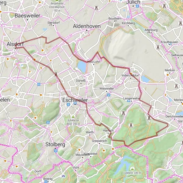
Map
Take in the breathtaking beauty of the region as you cycle along this picturesque gravel loop. The route guides you through idyllic landscapes, charming villages, and notable attractions. With a moderate level of difficulty, it's an ideal choice for cyclists who want to immerse themselves in nature's tranquility while enjoying some interesting stops along the way.
gravel
57 km
356 m
Chill
Route profile
Highlights on the route
0 km
0 km
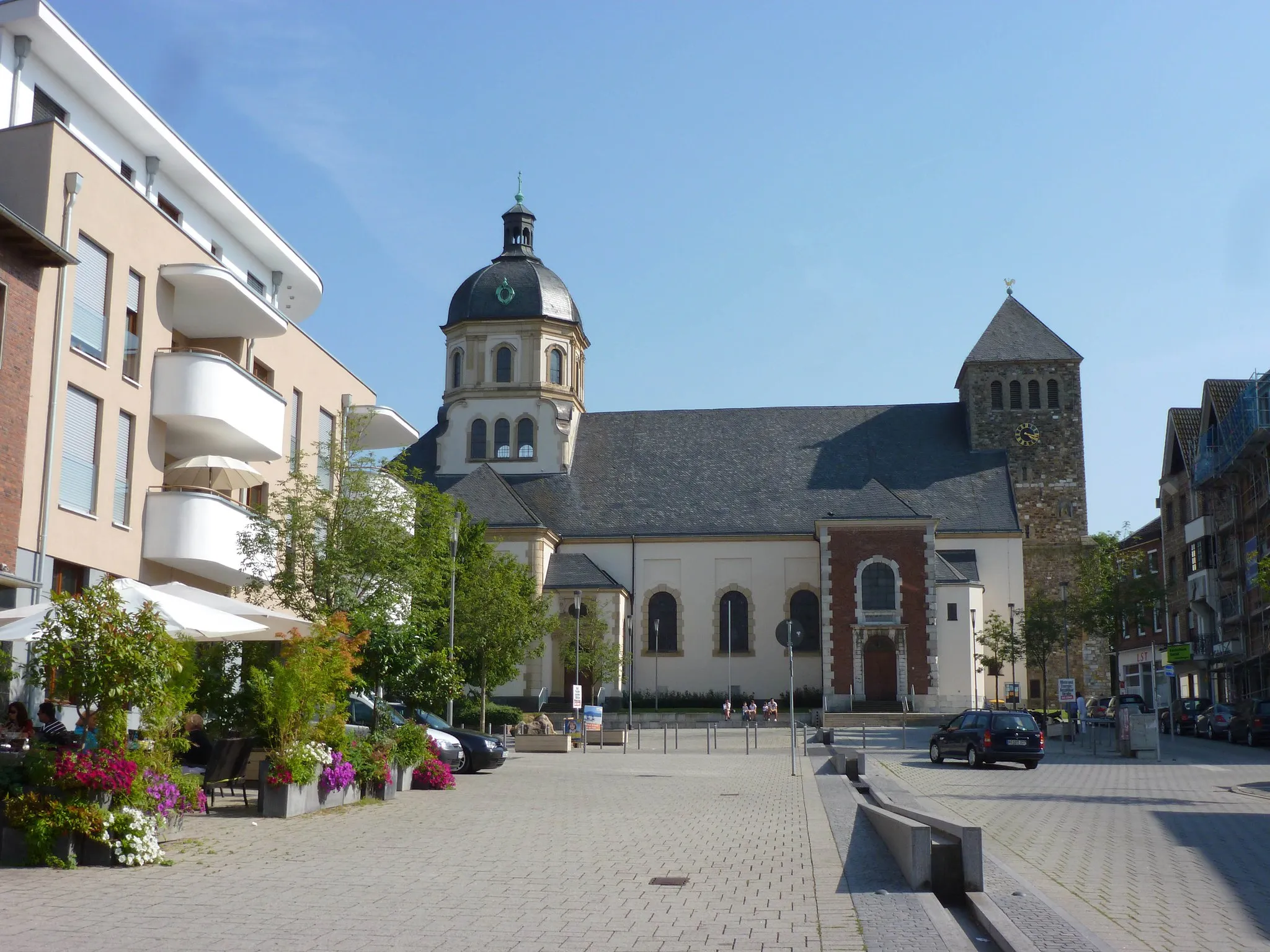
Start: Alsdorf City centerAlsdorf: A mix of urban routes and rural landscapes for diverse cycling.
Alsdorf, located in Köln, Germany, is a decent locality for both road and gravel cyclists. The area offers a mixture of urban routes and rural landscapes, providing diverse cycling opportunities. Cyclists can explore well-maintained bike paths and quiet roads that lead to scenic spots such as Grube Anna, a former coal mine turned nature park. Although not the most cycling-focused destination, Alsdorf still offers enjoyable rides and a mix of urban and natural surroundings.6 km
6 km
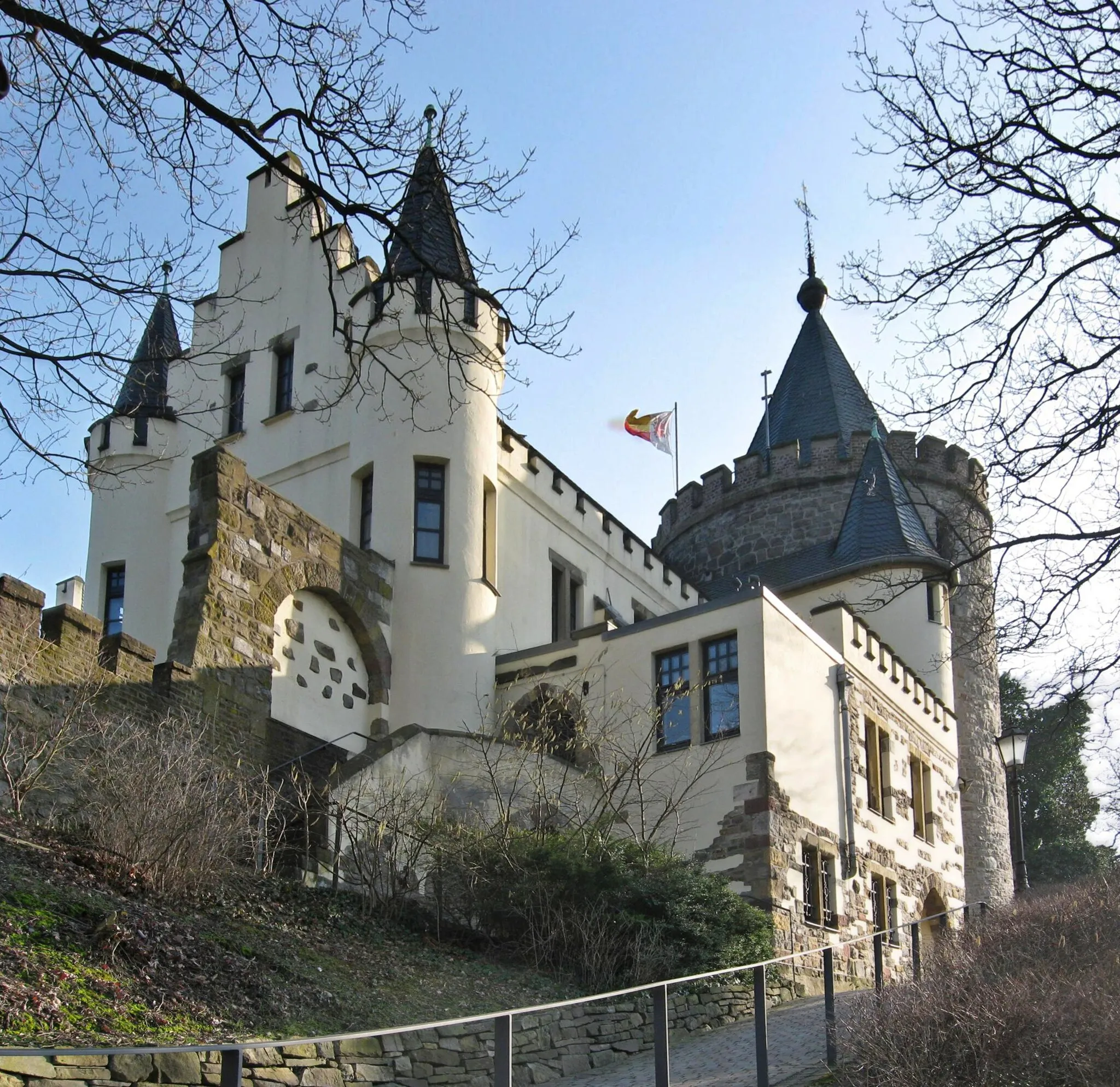
SchleidenVillageAdmire the town of Schleiden and its traditional half-timbered houses.
14 km
14 km
TagebaublickViewpointTagebaublick offers stunning views of a former open-pit mining area, now transformed into a nature reserve.
26 km
26 km
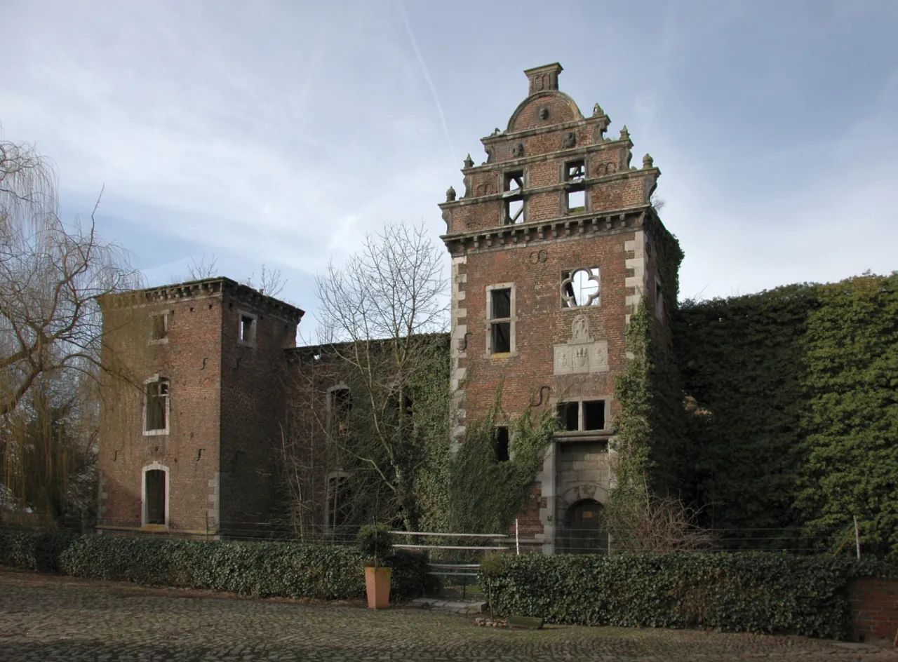
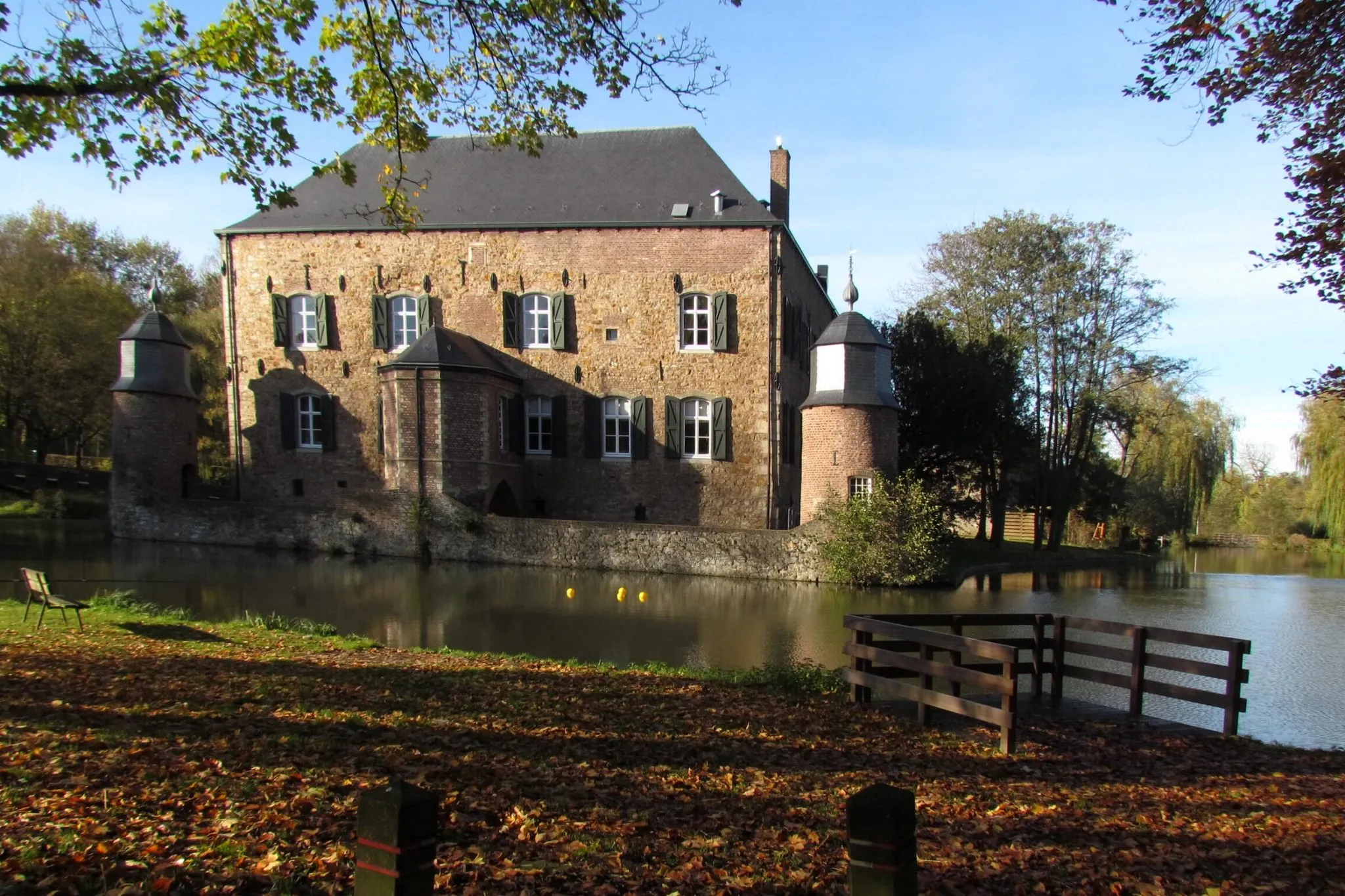
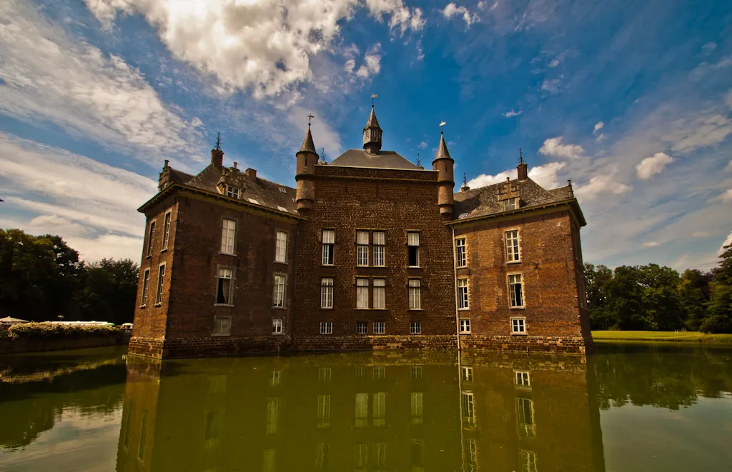
MerodeVillageMerode invites you to explore its picturesque old town and admire its well-preserved castle.
46 km
46 km
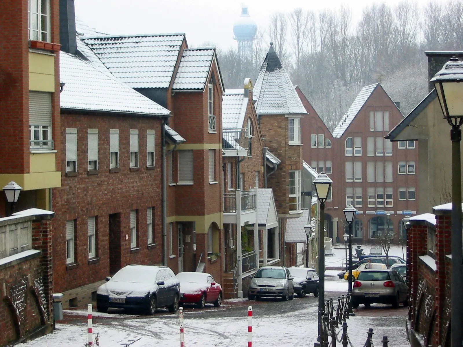
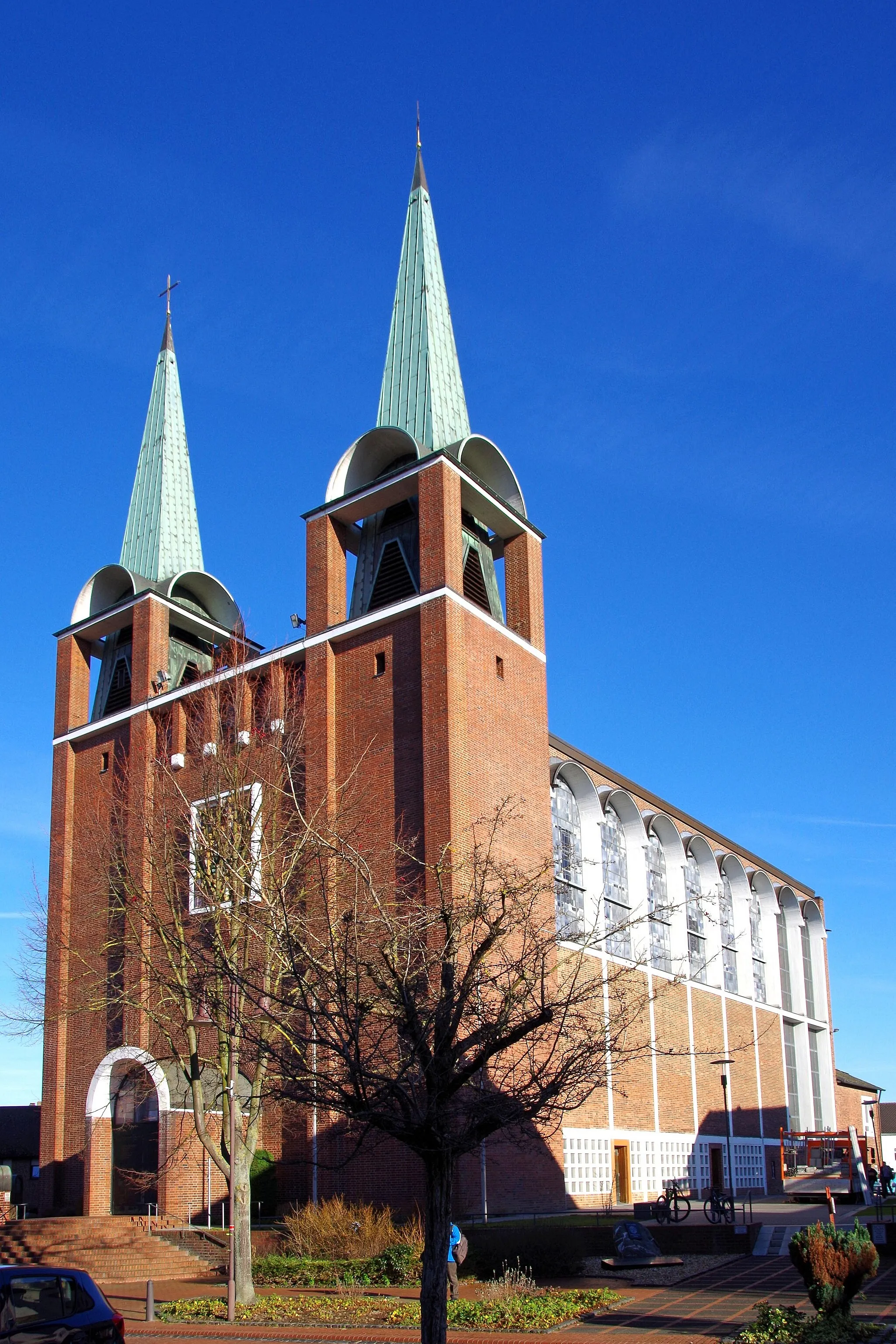
EschweilerTownEschweiler is a bustling town with a mix of modern architecture and historical sites.
54 km
54 km
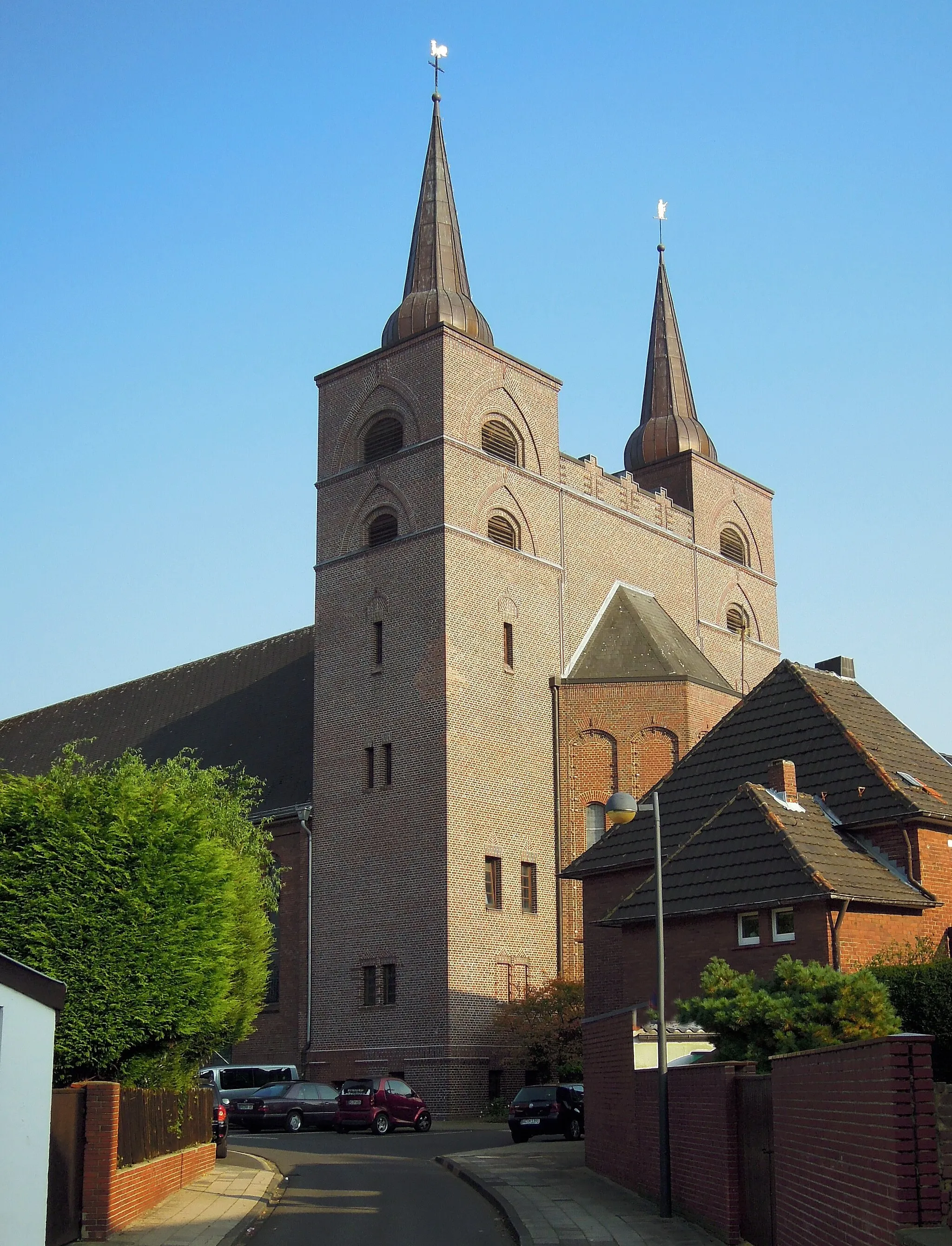
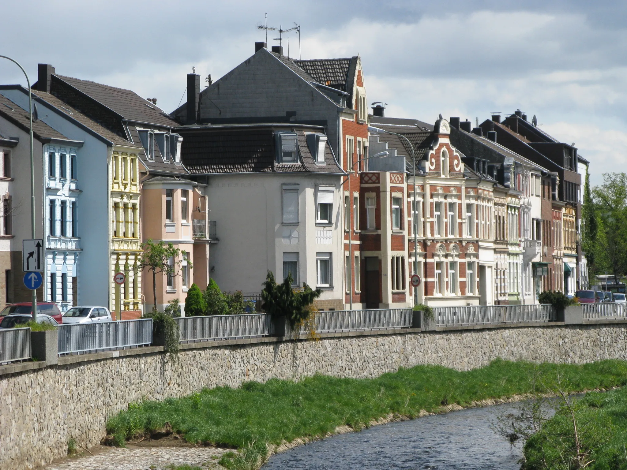
MariadorfSub-urbMariadorf is a small historic village with charming buildings and rich cultural heritage.
55 km
55 km
Bergehalde Maria-Hauptschacht224 mPeakClimb up Bergehalde Maria-Hauptschacht and enjoy panoramic views of the surroundings.
57 km
57 km
Finish: Alsdorf City centerAlsdorf: A mix of urban routes and rural landscapes for diverse cycling.
Cycling routes nearby: