Schleiden Loop
A road cycling route starting from Alsdorf
Explore the charming town of Schleiden and its surrounding natural beauty on this road cycling route.
Map
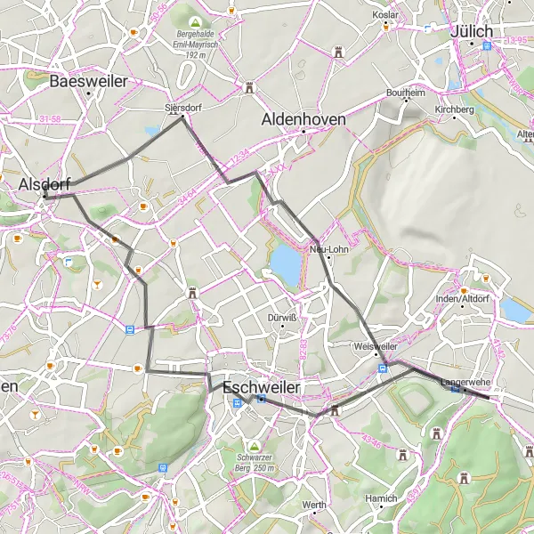
Discover the scenic beauty of the Schleiden region on this enjoyable road cycling route. With a total ascent of 224 meters and a distance of 43 kilometers, this route takes you through peaceful countryside, charming villages, and historic sites. The Schleiden Loop offers a relaxed cycling experience suitable for all levels of cyclists.
road
43 km
224 m
Chill
Route profile
Highlights on the route
0 km
0 km
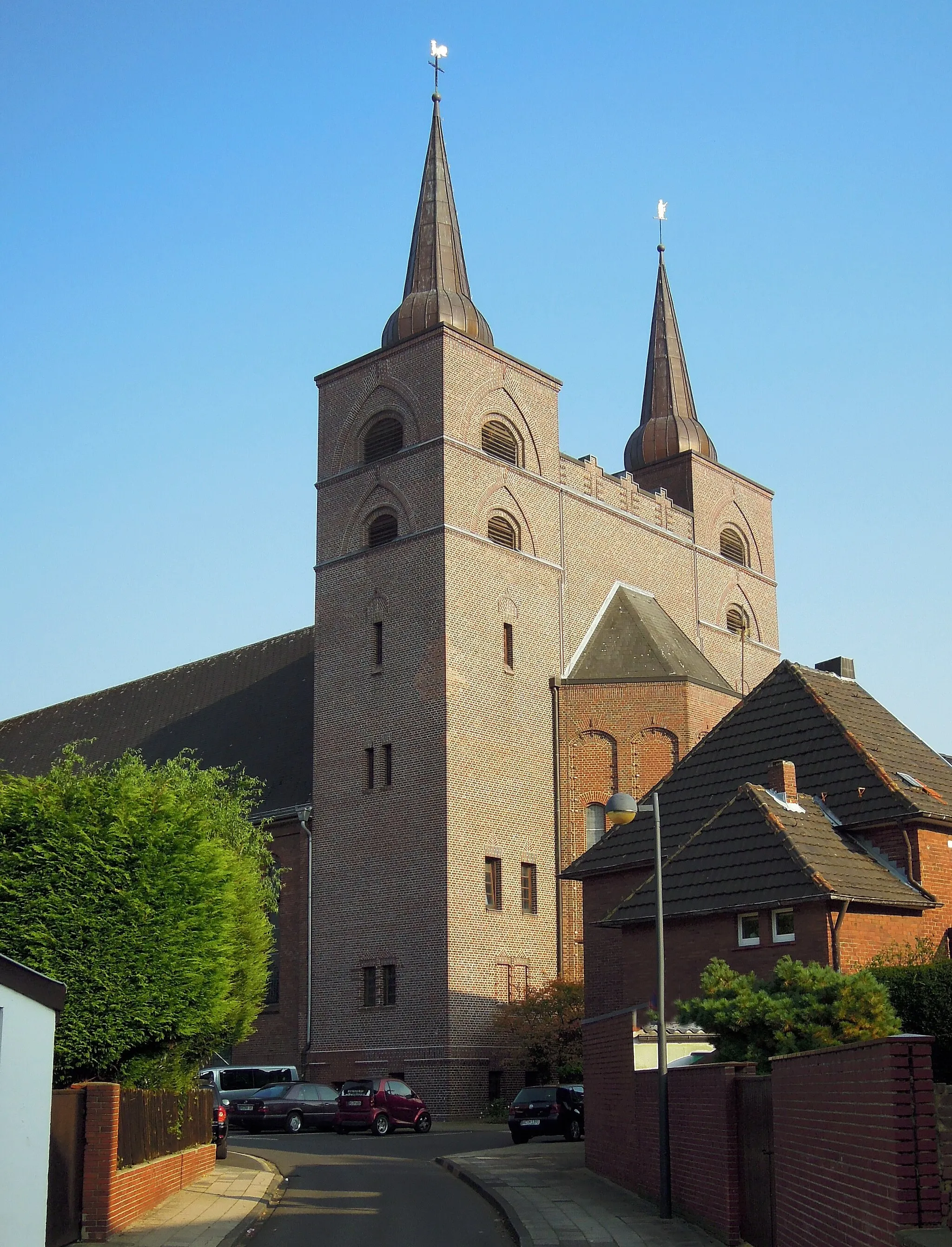
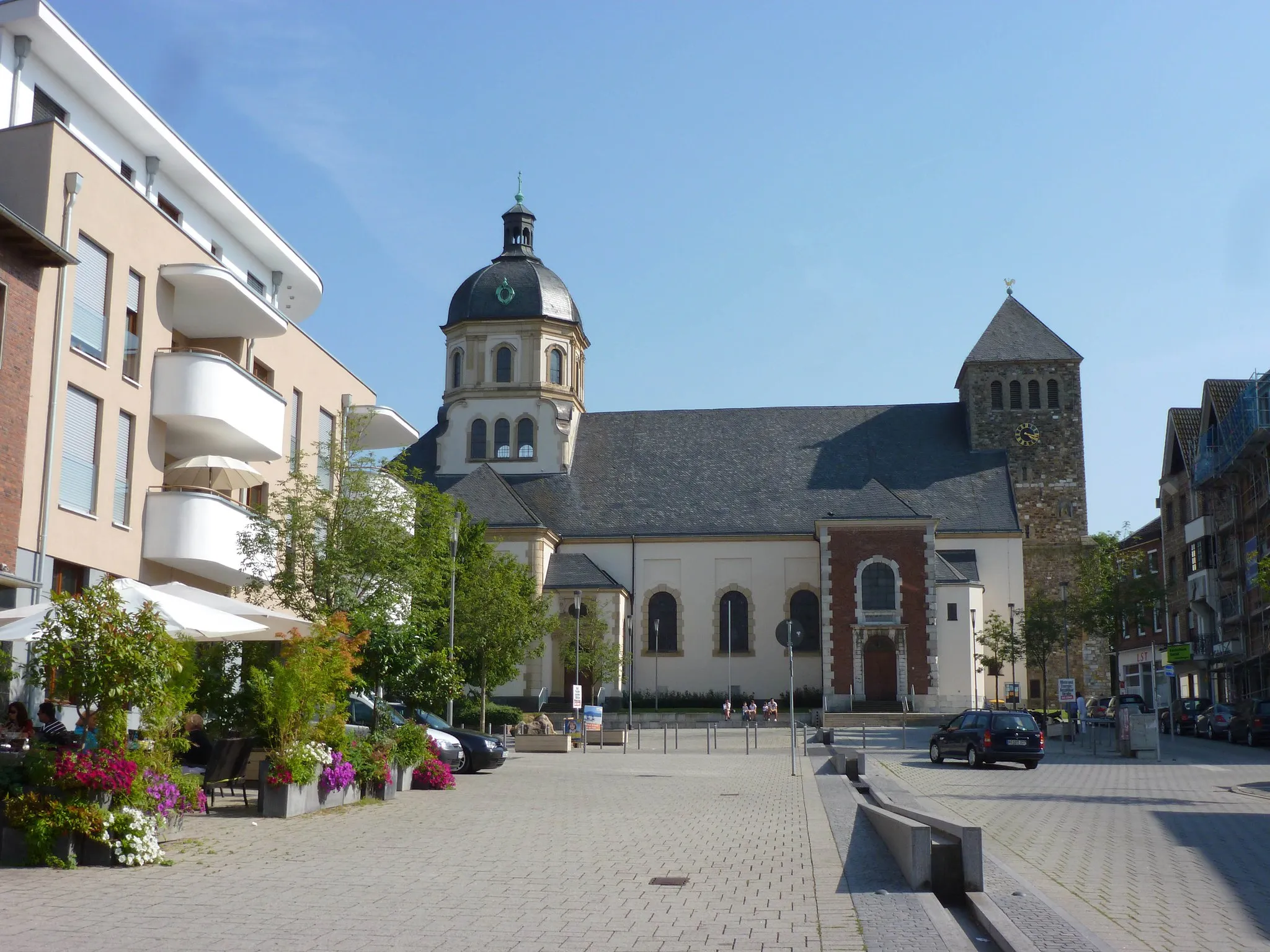
Start: Alsdorf City centerAlsdorf: A mix of urban routes and rural landscapes for diverse cycling.
Alsdorf, located in Köln, Germany, is a decent locality for both road and gravel cyclists. The area offers a mixture of urban routes and rural landscapes, providing diverse cycling opportunities. Cyclists can explore well-maintained bike paths and quiet roads that lead to scenic spots such as Grube Anna, a former coal mine turned nature park. Although not the most cycling-focused destination, Alsdorf still offers enjoyable rides and a mix of urban and natural surroundings.7 km
7 km
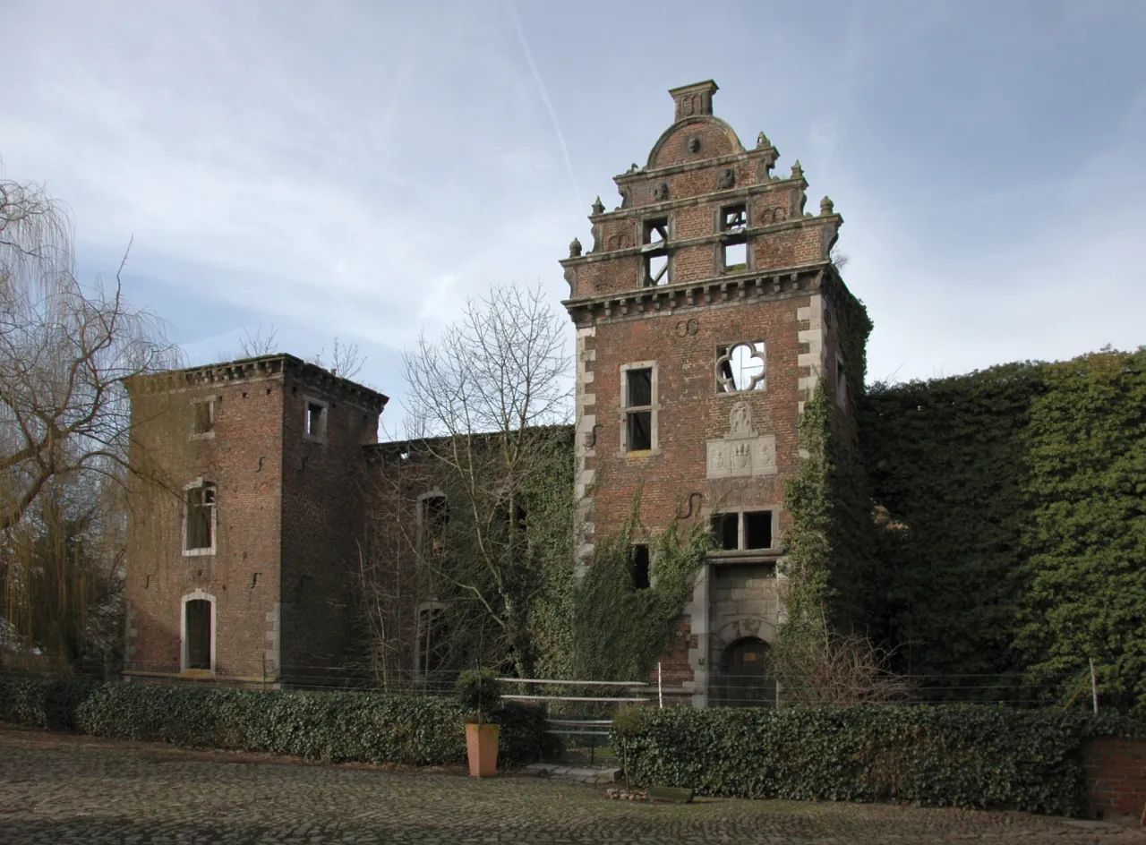
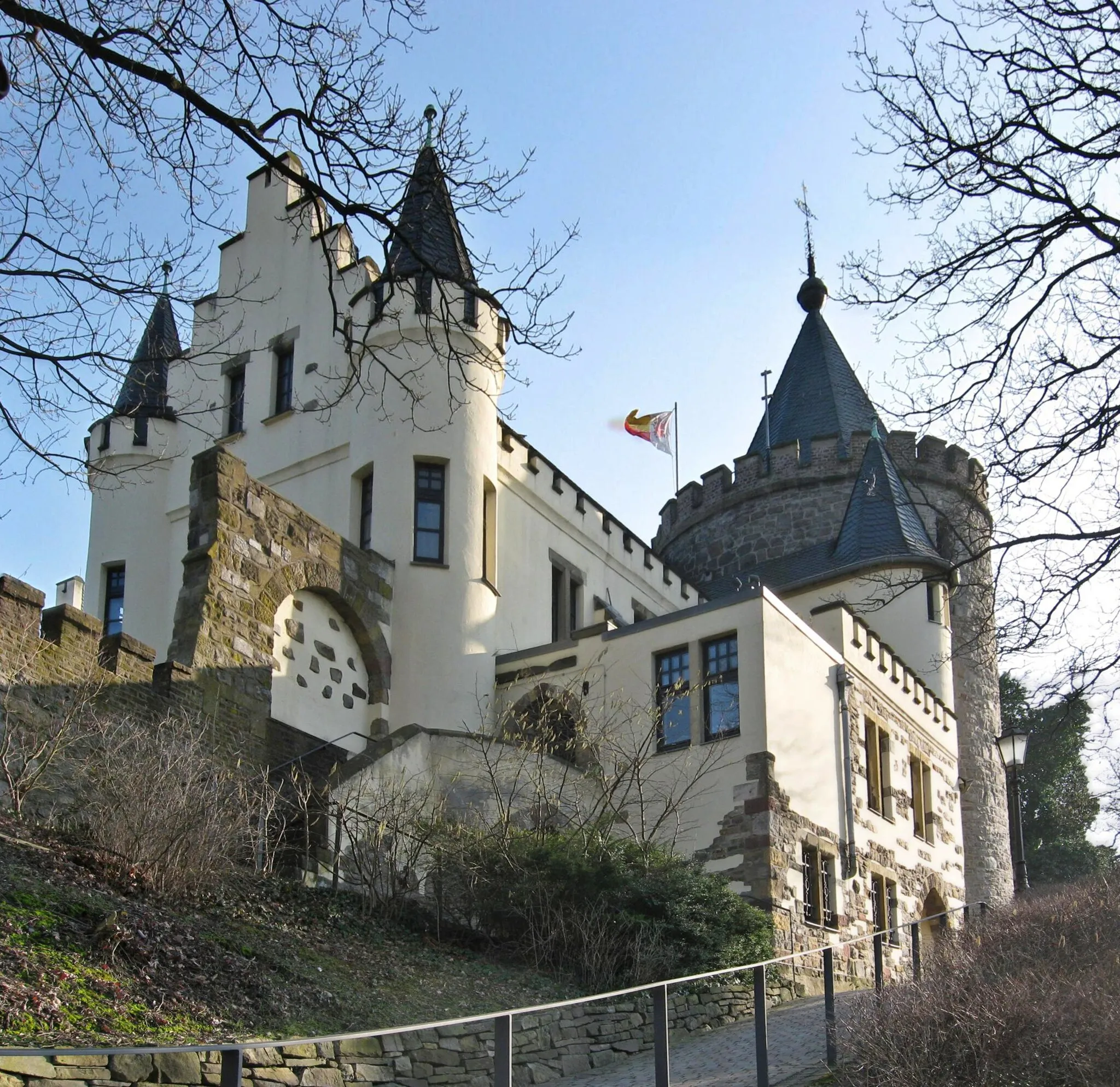
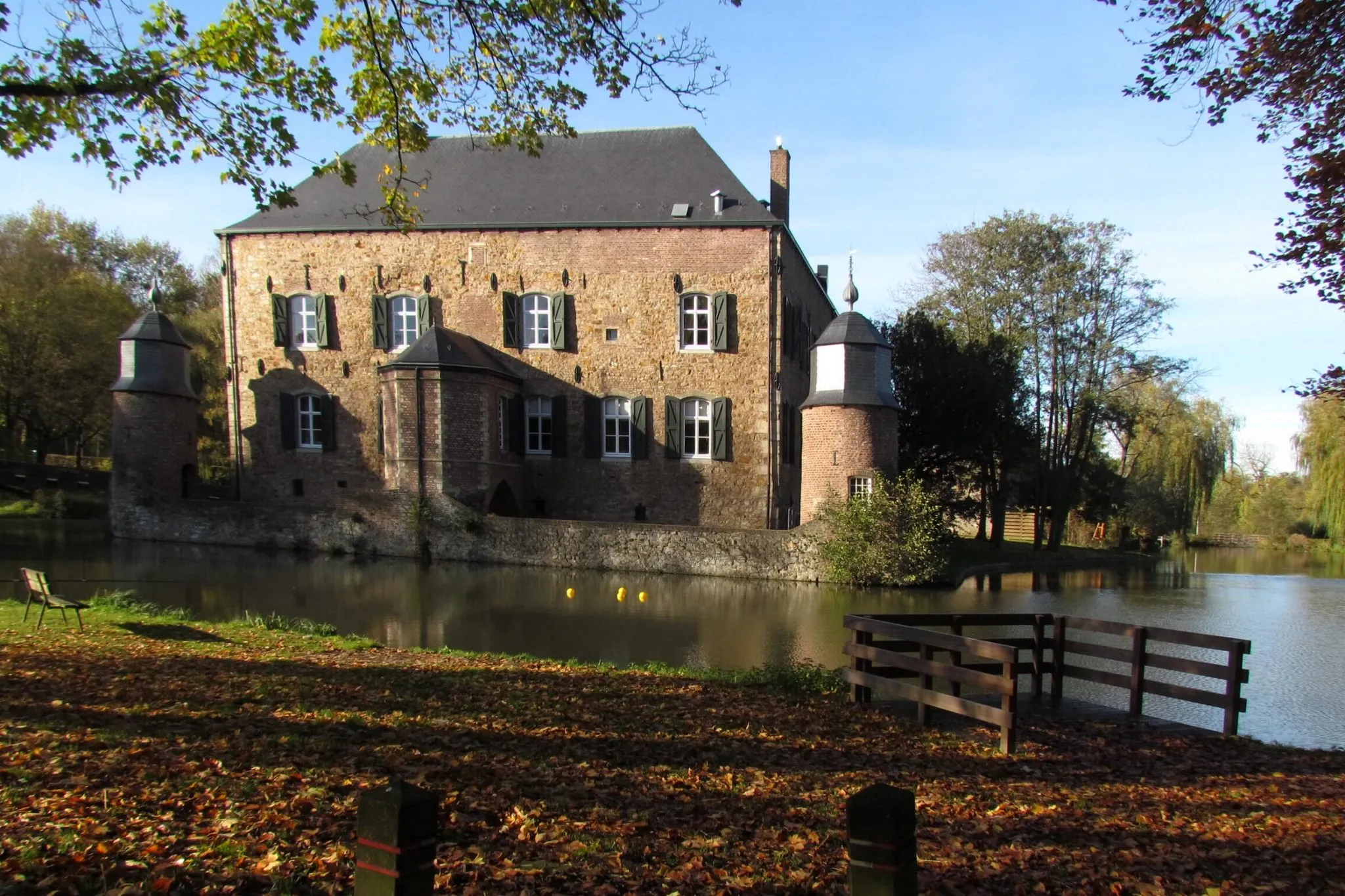
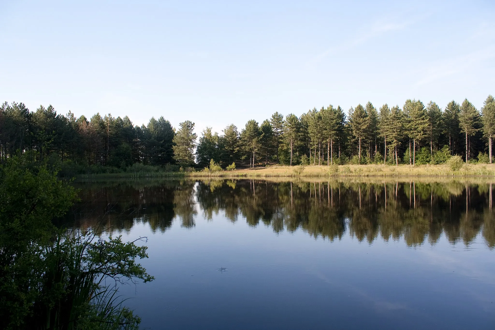
SchleidenVillageSchleiden is a picturesque town with a rich history, charming architecture, and beautiful natural surroundings.
21 km
21 km
Schöne AussichtViewpointSchöne Aussicht offers stunning views of the Eifel National Park and the surrounding countryside.
22 km
22 km
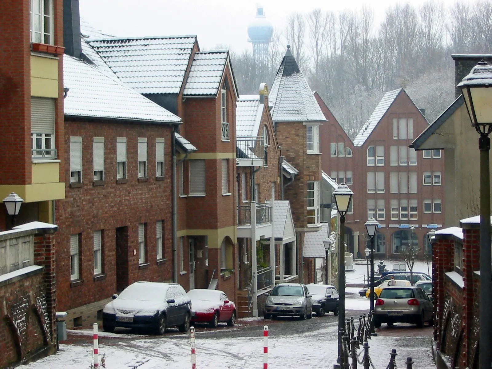
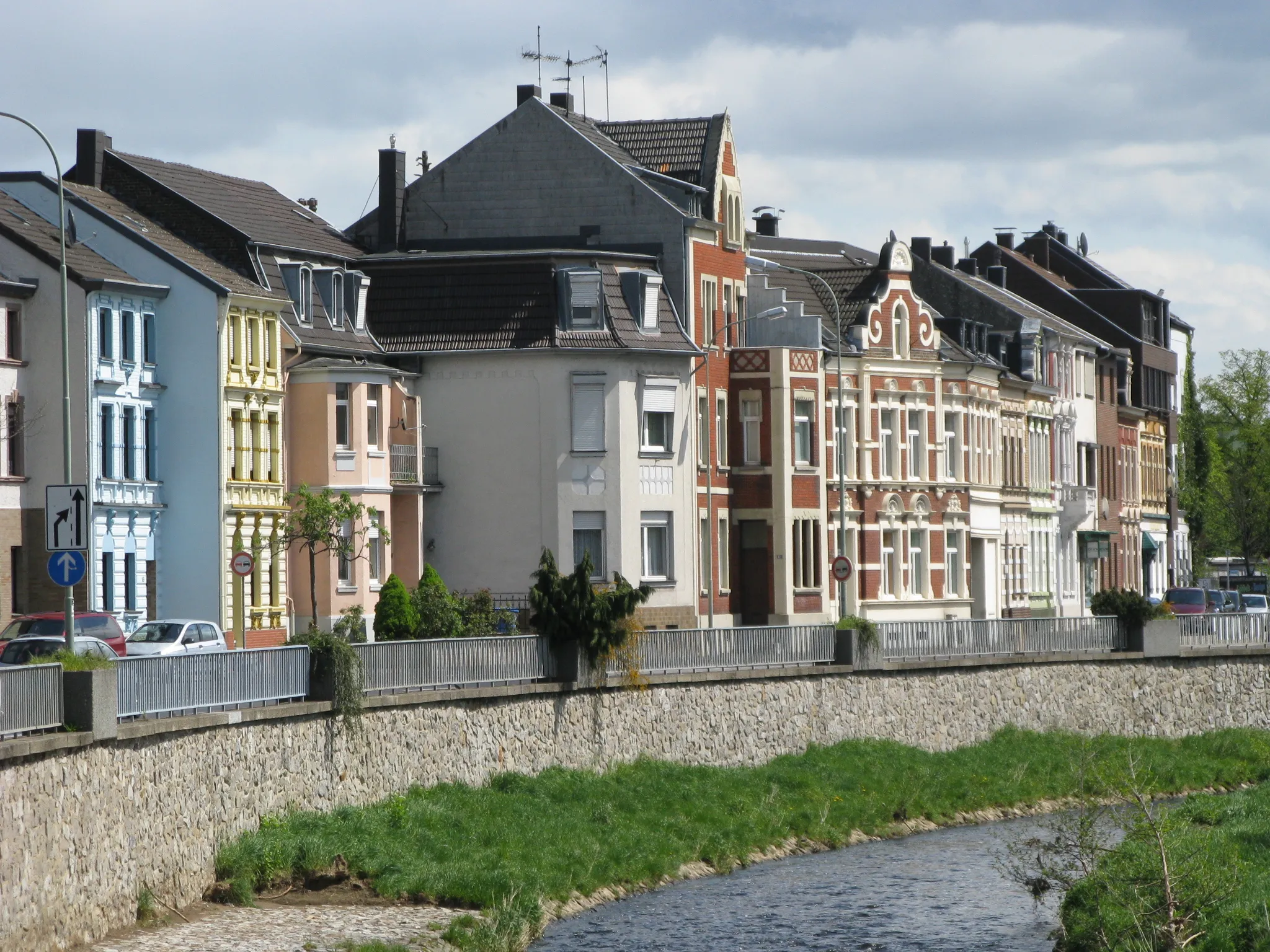
LangerweheVillageLangerwehe is a charming village known for its historic buildings and well-preserved old town center.
30 km
30 km
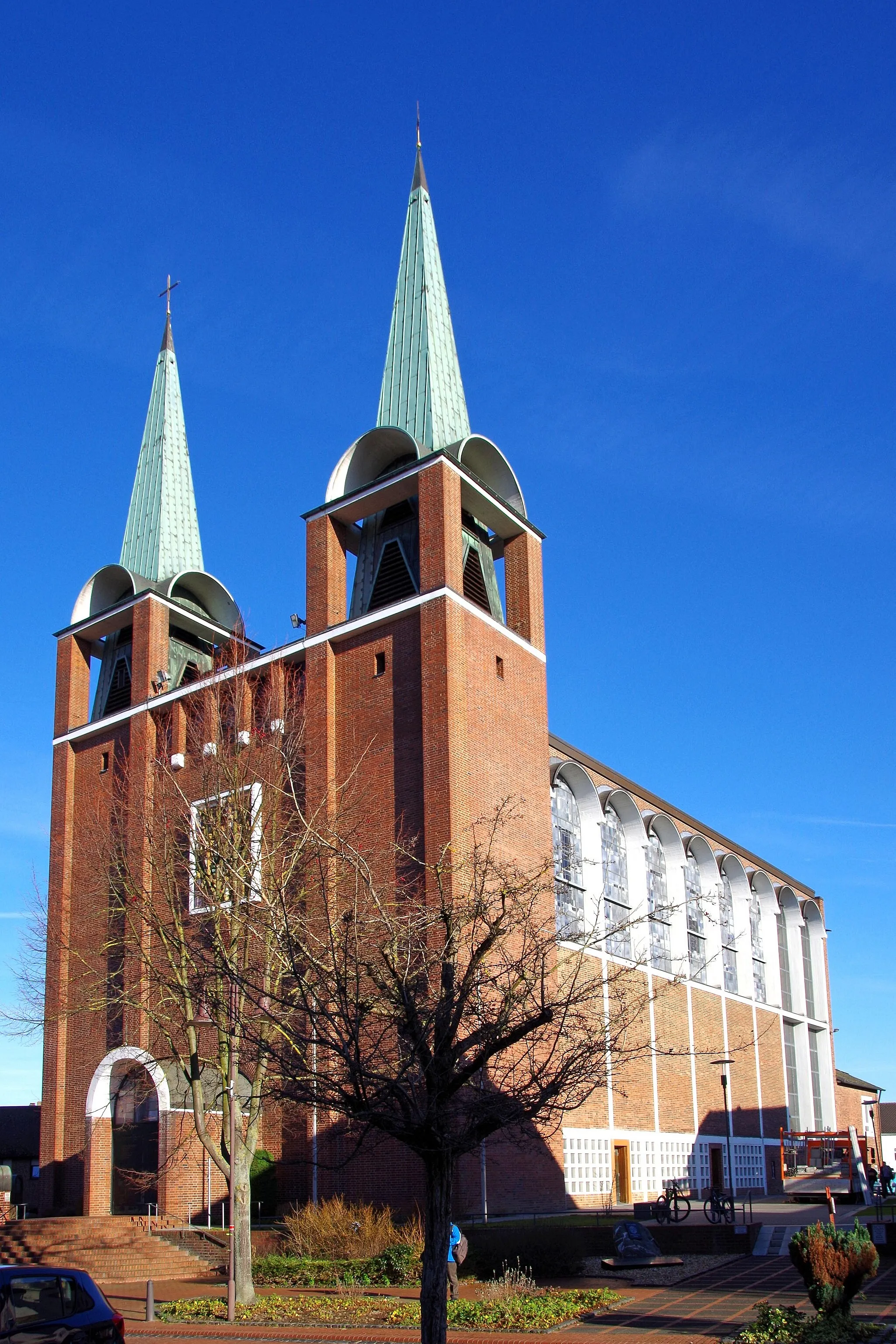
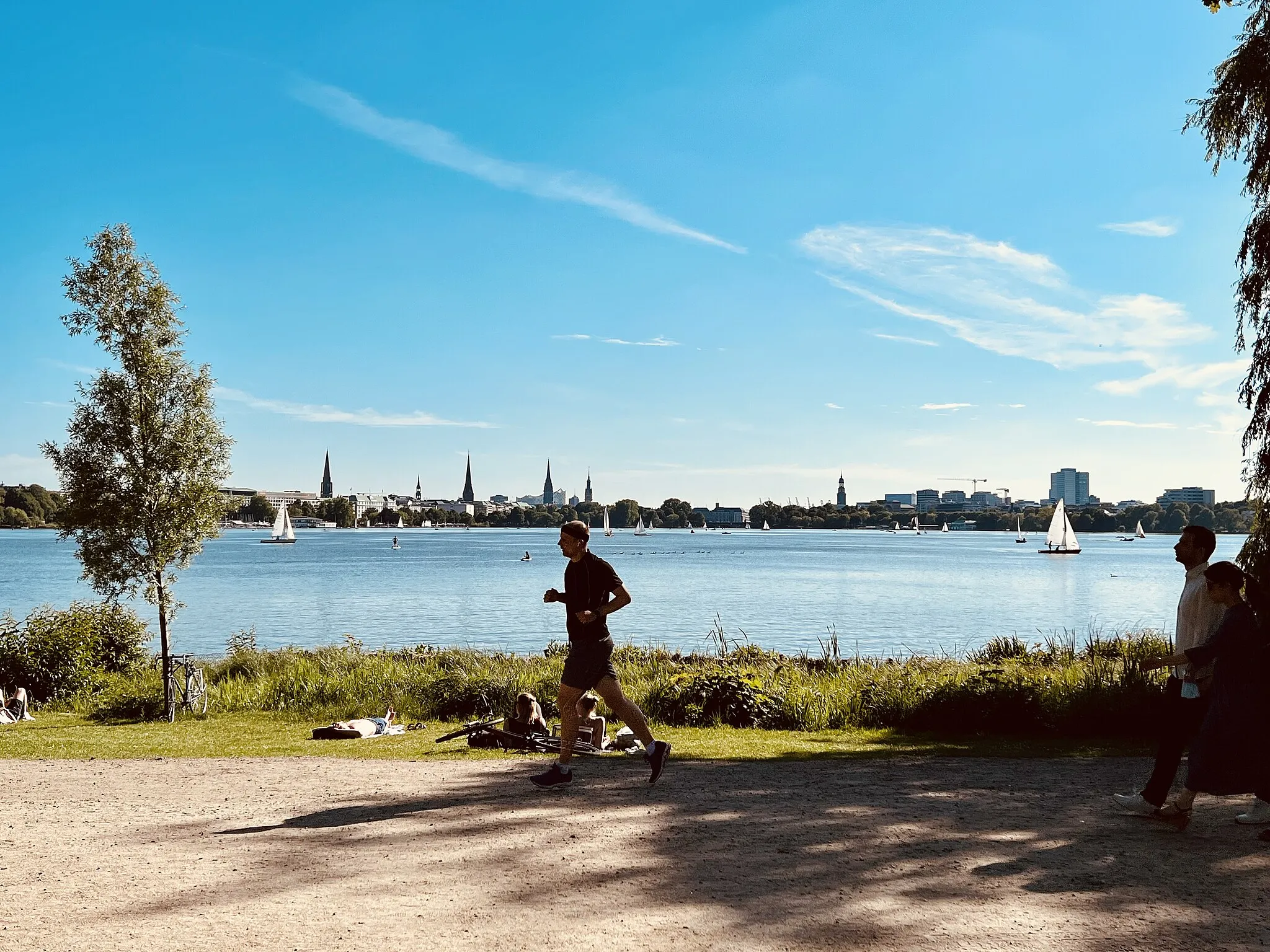
EschweilerTownEschweiler is a vibrant city with a mix of modern and historic architecture, perfect for a coffee break.
40 km
40 km
Bergehalde Maria-Hauptschacht224 mPeakBergehalde Maria-Hauptschacht is a former mining site that offers panoramic views of the surrounding area.
43 km
43 km
Finish: Alsdorf City centerAlsdorf: A mix of urban routes and rural landscapes for diverse cycling.
Cycling routes nearby: