Hills and Valleys
A road cycling route starting from Alsdorf
Conquer challenging climbs and enjoy breathtaking descents on this road cycling route across hills and valleys.
Map
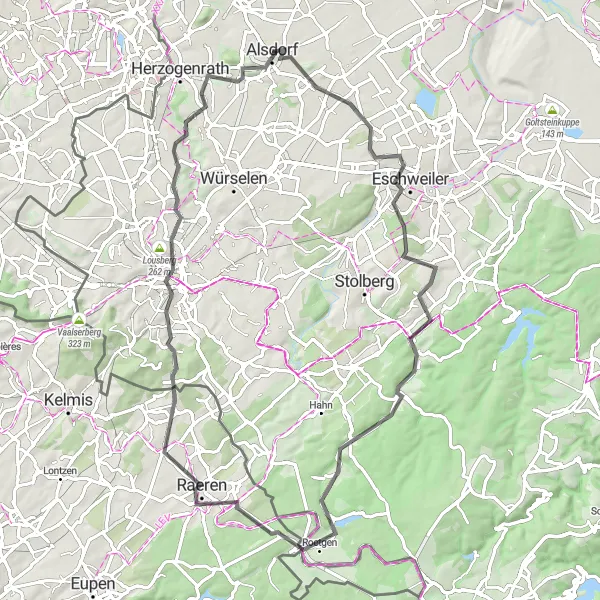
Embrace the thrill of hill climbing on this challenging road cycling route. With a total ascent of 774 meters and a distance of 76 kilometers, Hills and Valleys offers a dynamic cycling experience through picturesque landscapes. This route is recommended for experienced cyclists looking for a combination of tough climbs and thrilling descents.
road
76 km
774 m
Savage
Route profile
Highlights on the route
0 km
0 km
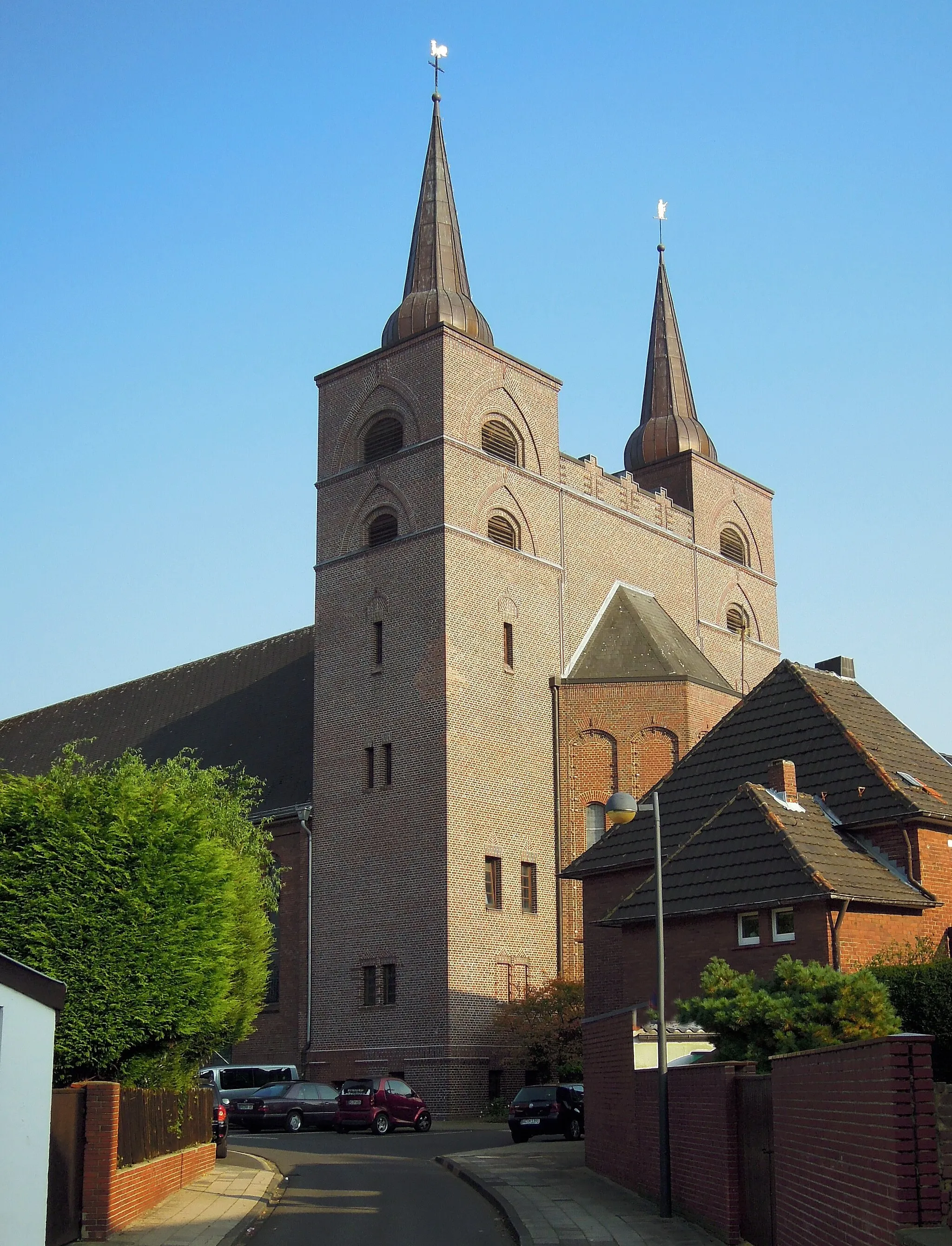
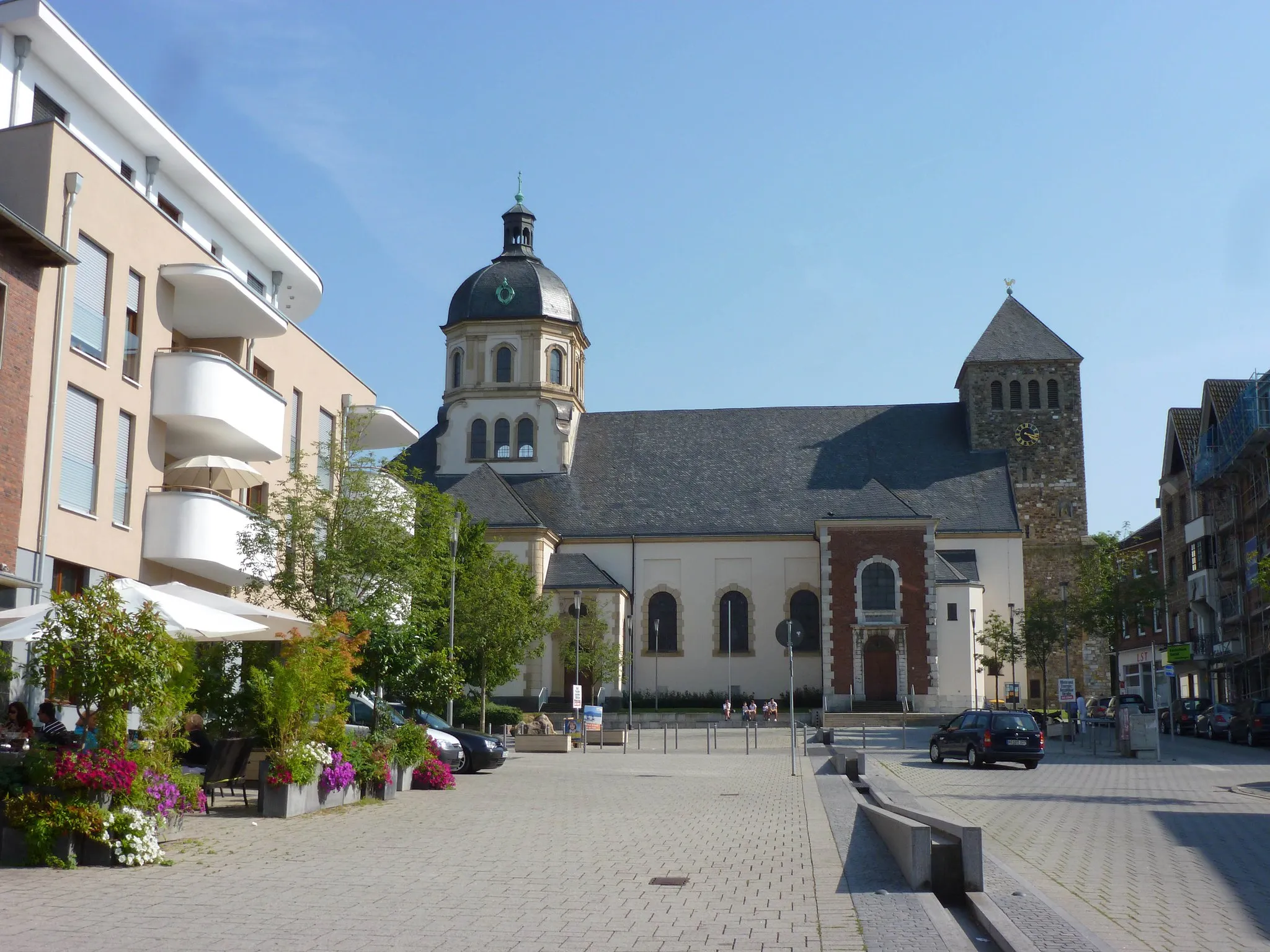
Start: Alsdorf City centerAlsdorf: A mix of urban routes and rural landscapes for diverse cycling.
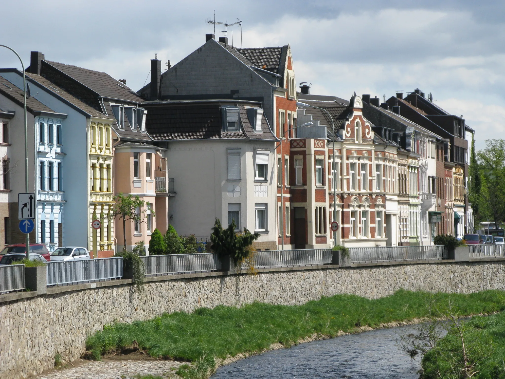
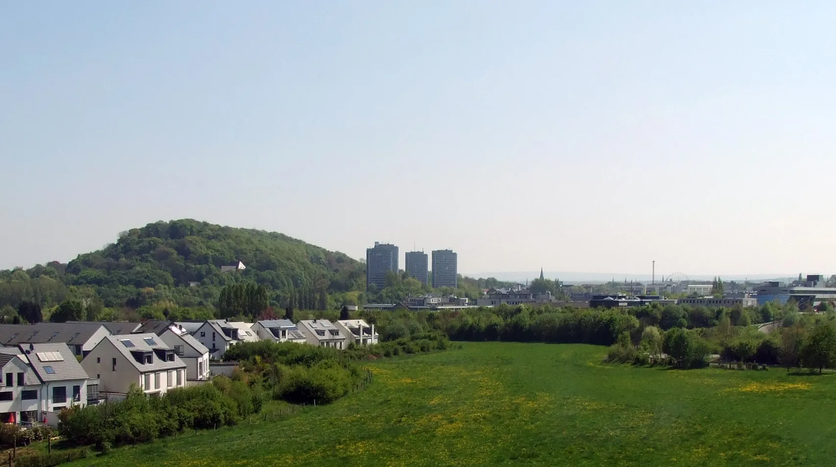
Alsdorf, located in Köln, Germany, is a decent locality for both road and gravel cyclists. The area offers a mixture of urban routes and rural landscapes, providing diverse cycling opportunities. Cyclists can explore well-maintained bike paths and quiet roads that lead to scenic spots such as Grube Anna, a former coal mine turned nature park. Although not the most cycling-focused destination, Alsdorf still offers enjoyable rides and a mix of urban and natural surroundings.2 km
2 km
Bergehalde Maria-Hauptschacht224 mPeakBergehalde Maria-Hauptschacht is a must-visit site with stunning panoramic views of the surrounding countryside.
12 km
12 km
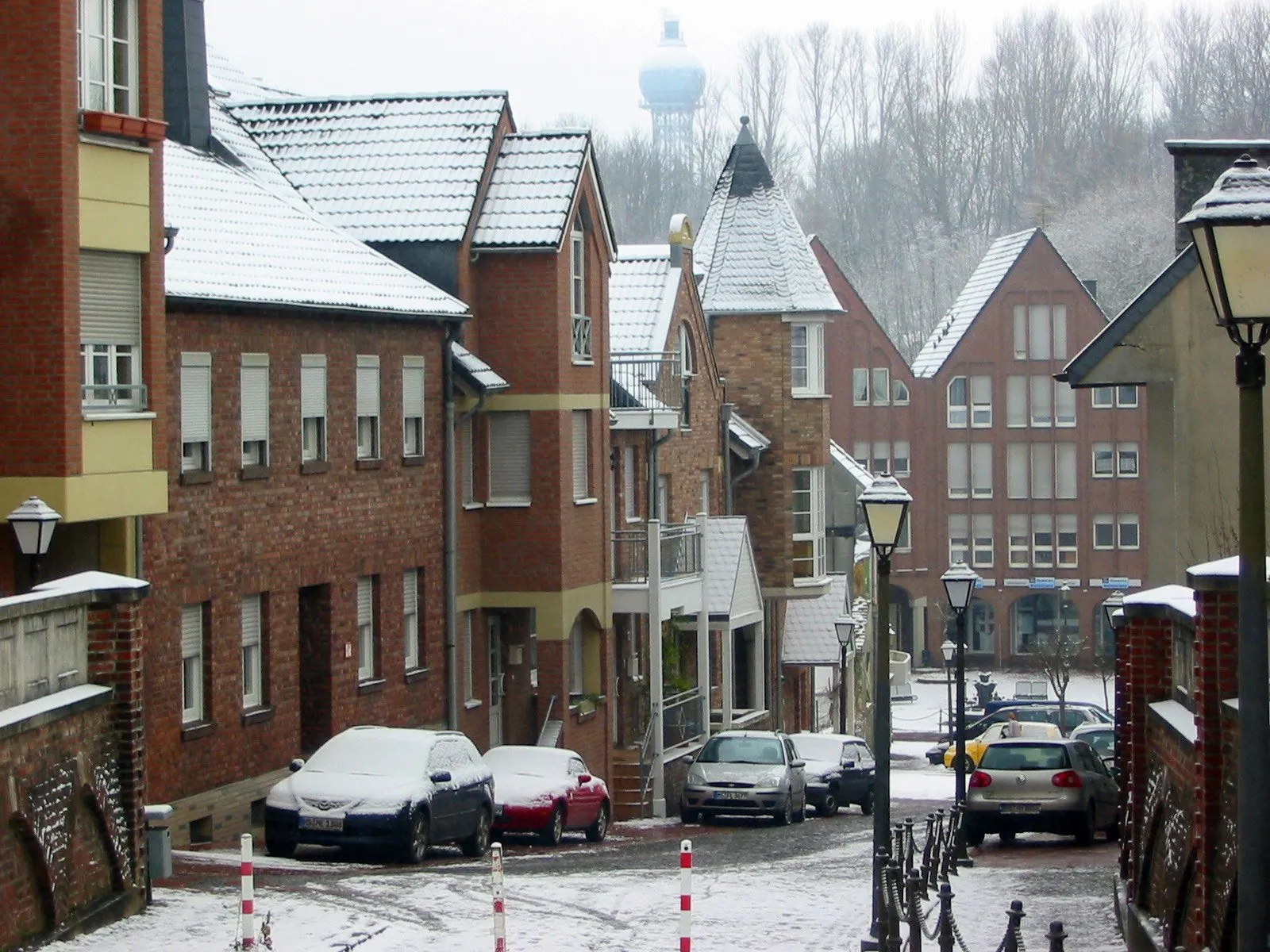
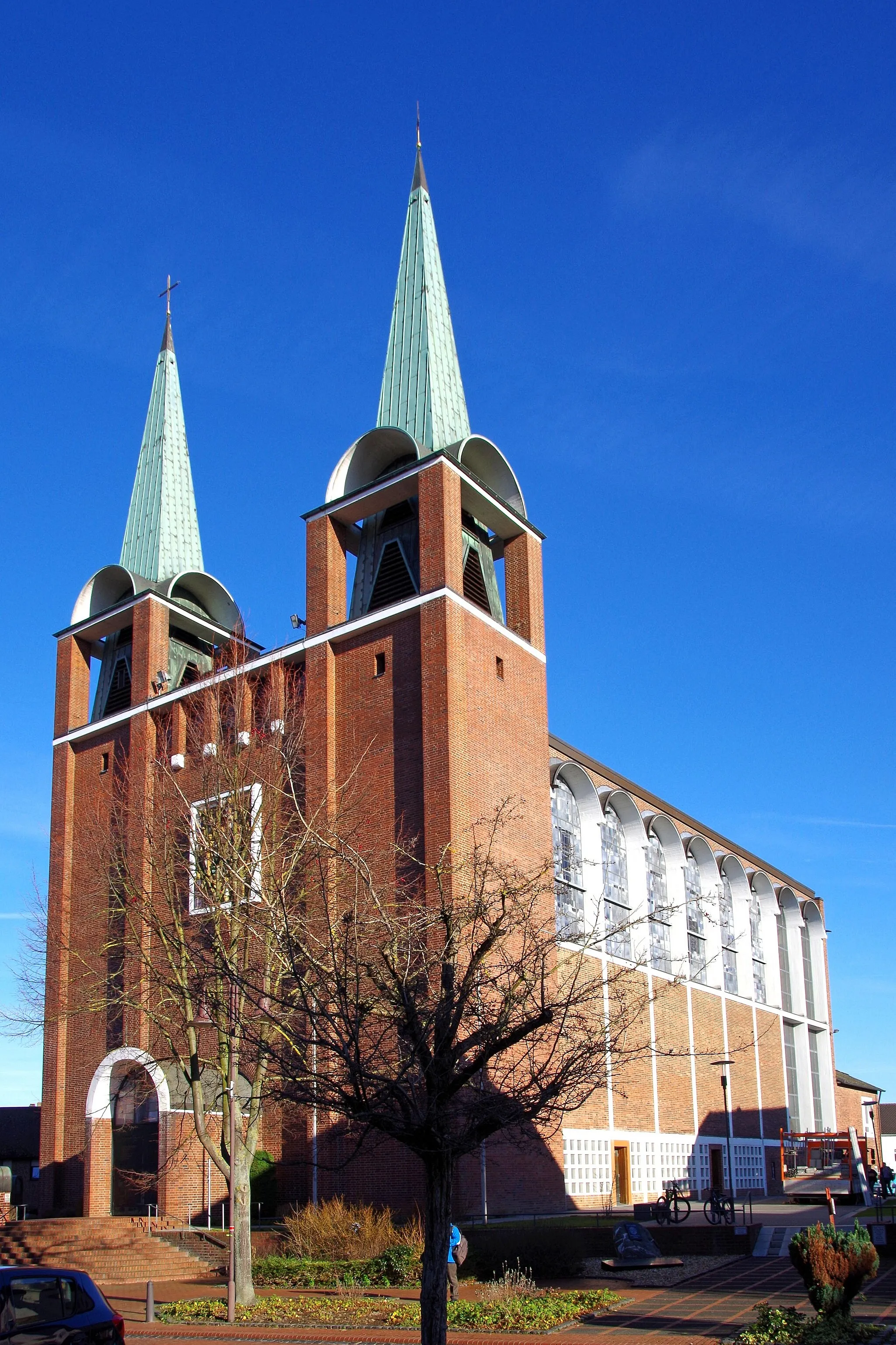
EschweilerTownEschweiler is a historic city with beautiful architecture, including its famous St. Peter and Paul Church.
31 km
31 km
Giersberg364 mPeakGiersberg offers exhilarating climbs and rewarding views at the top, making it a favorite among local cyclists.
37 km
37 km
RoetgenVillageRoetgen is a picturesque town located on the edge of the Hohes Venn-Eifel Nature Park, offering beautiful natural scenery.
46 km
46 km
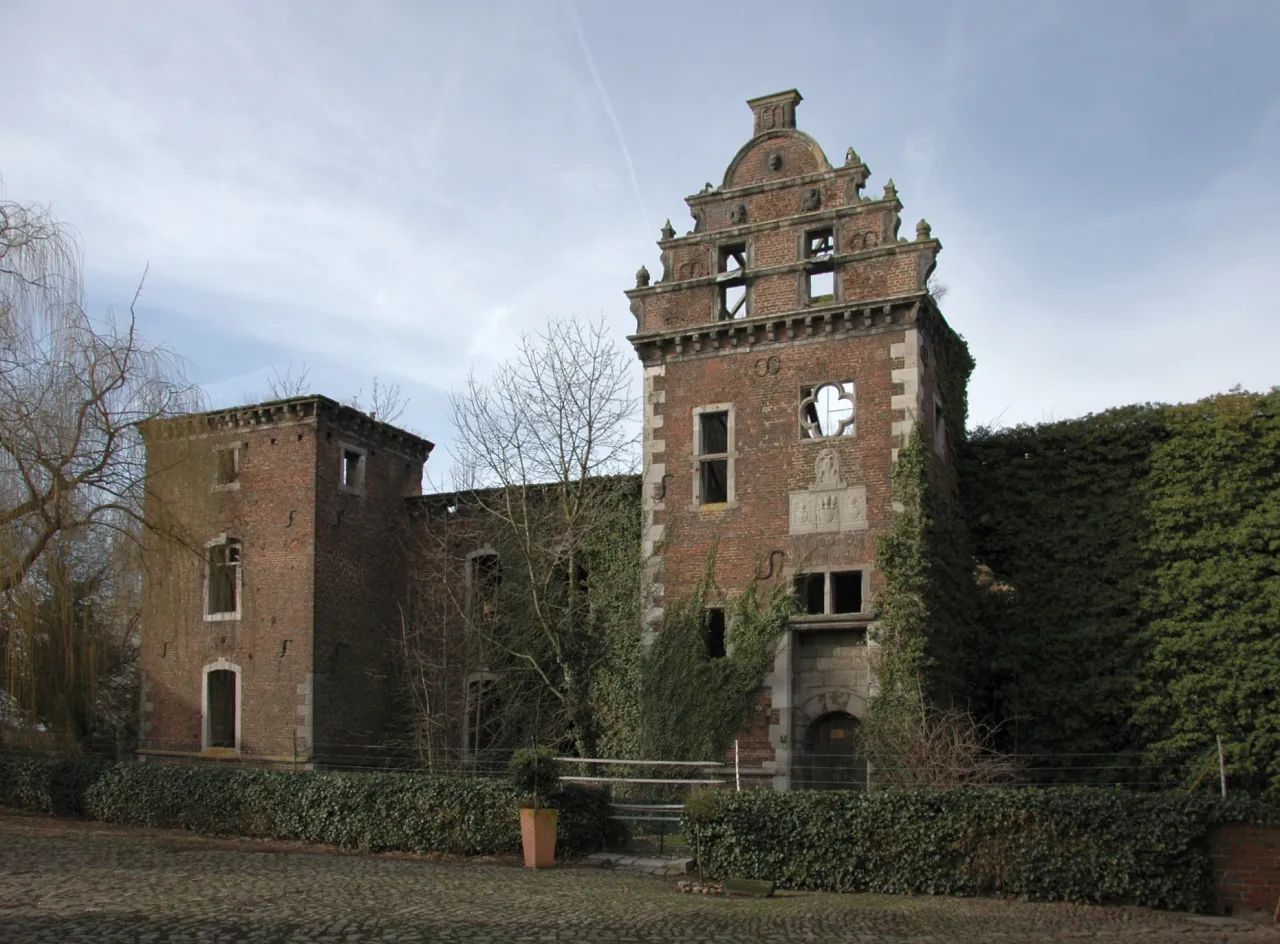
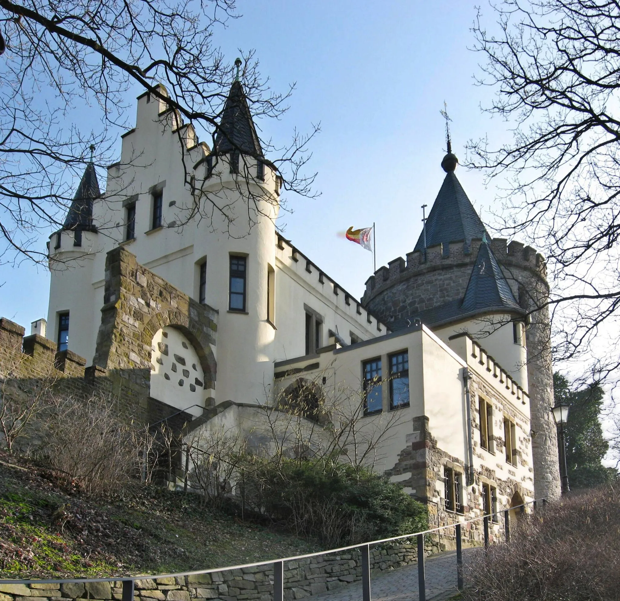
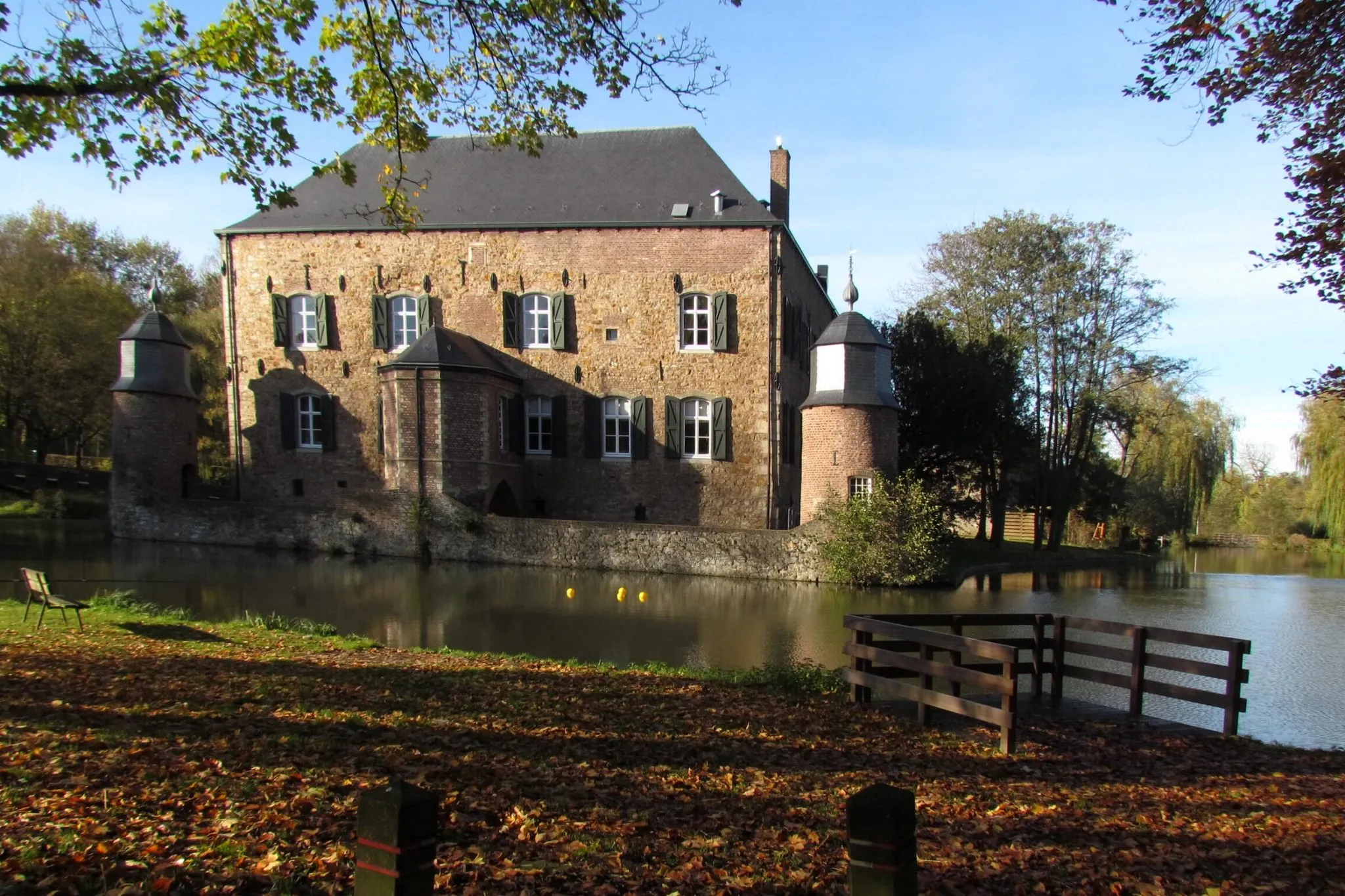
RaerenTownRaeren Castle is a magnificent fortress dating back to the 14th century, with its well-preserved medieval architecture.
60 km
60 km
Lousberg262 mPeakLousberg is a legendary climb in the region, known for its challenging gradient and breathtaking views from the top.
69 km
69 km
NiederbardenbergSub-urbNiederbardenberg is a quaint village with charming traditional houses and a peaceful atmosphere.
74 km
74 km
Bergehalde Anna II231 mPeakBergehalde Anna II offers panoramic views of the surrounding landscape, providing a perfect photo opportunity.
76 km
76 km
Finish: Alsdorf City centerAlsdorf: A mix of urban routes and rural landscapes for diverse cycling.
Cycling routes nearby: