The Gravel Adventure
A gravel cycling route starting from Alsdorf
Embark on a thrilling gravel adventure with breathtaking landscapes
Map
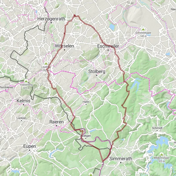
This 85-km gravel route starting near Alsdorf takes you on an incredible journey through stunning landscapes and charming towns. With a total ascent of 899 meters, this route is suitable for well-trained amateur cyclists. Get ready for an epic adventure that will leave you wanting more.
gravel
85 km
899 m
Tough
Route profile
Highlights on the route
0 km
0 km
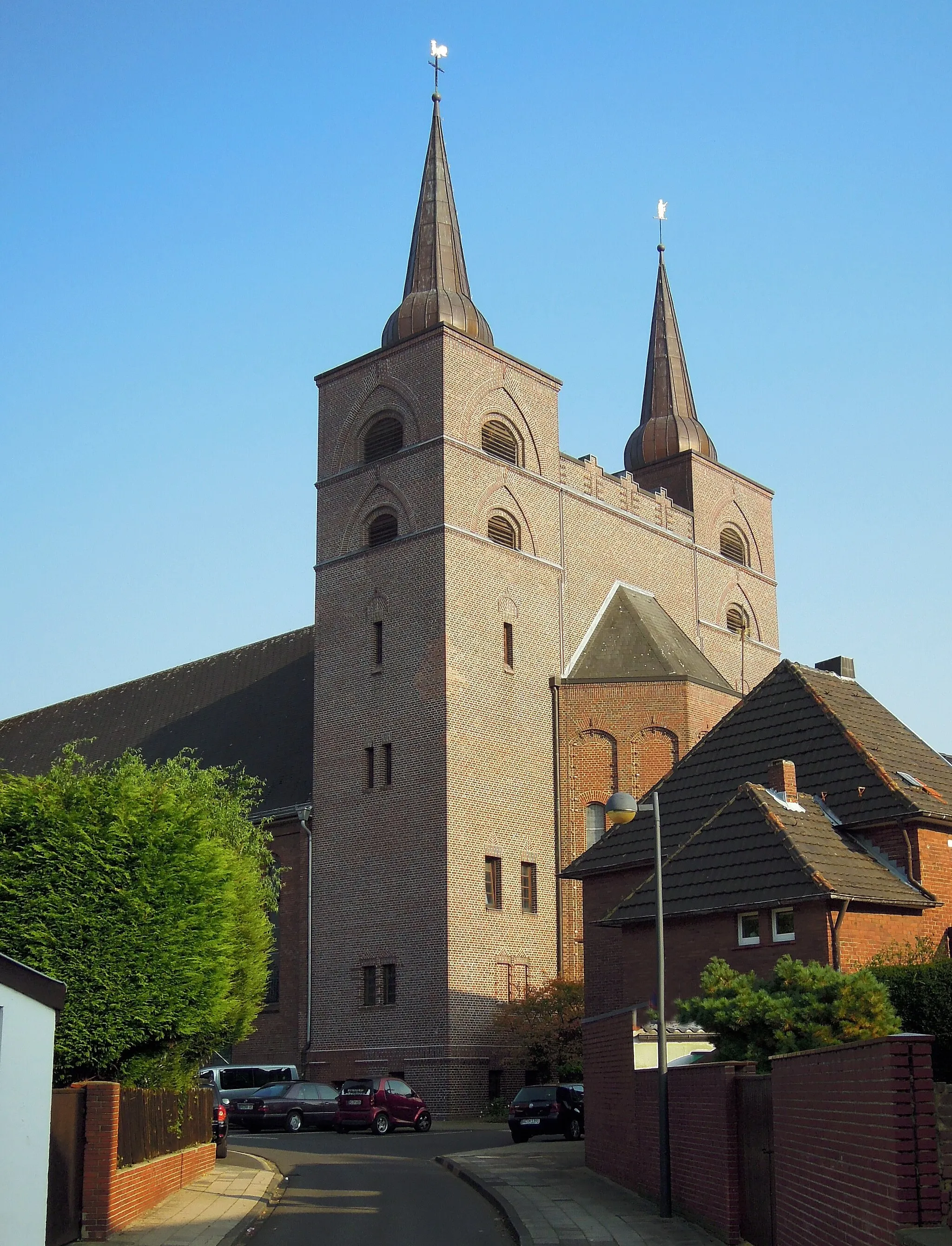
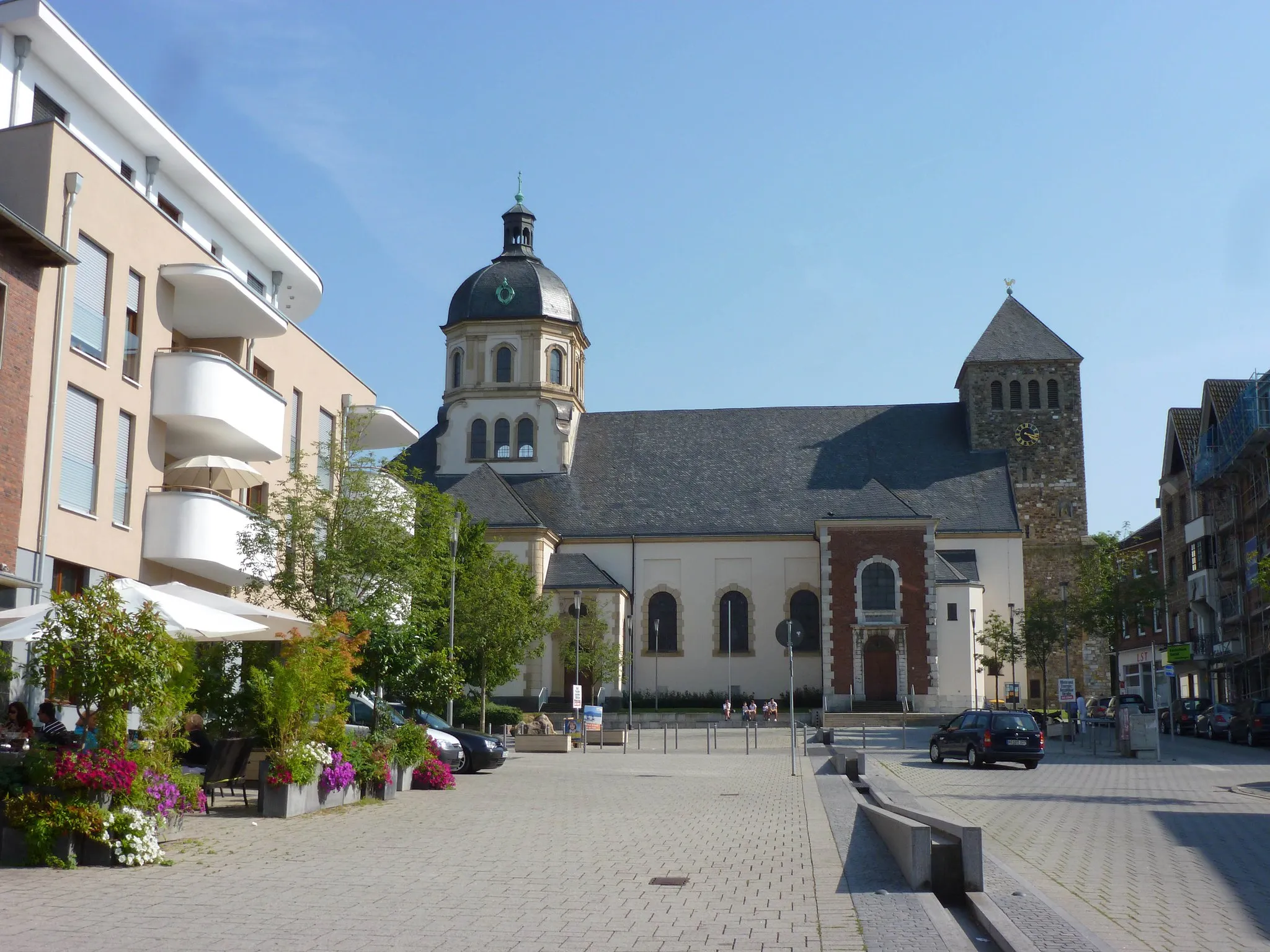
Start: Alsdorf City centerAlsdorf: A mix of urban routes and rural landscapes for diverse cycling.
Alsdorf, located in Köln, Germany, is a decent locality for both road and gravel cyclists. The area offers a mixture of urban routes and rural landscapes, providing diverse cycling opportunities. Cyclists can explore well-maintained bike paths and quiet roads that lead to scenic spots such as Grube Anna, a former coal mine turned nature park. Although not the most cycling-focused destination, Alsdorf still offers enjoyable rides and a mix of urban and natural surroundings.2 km
2 km
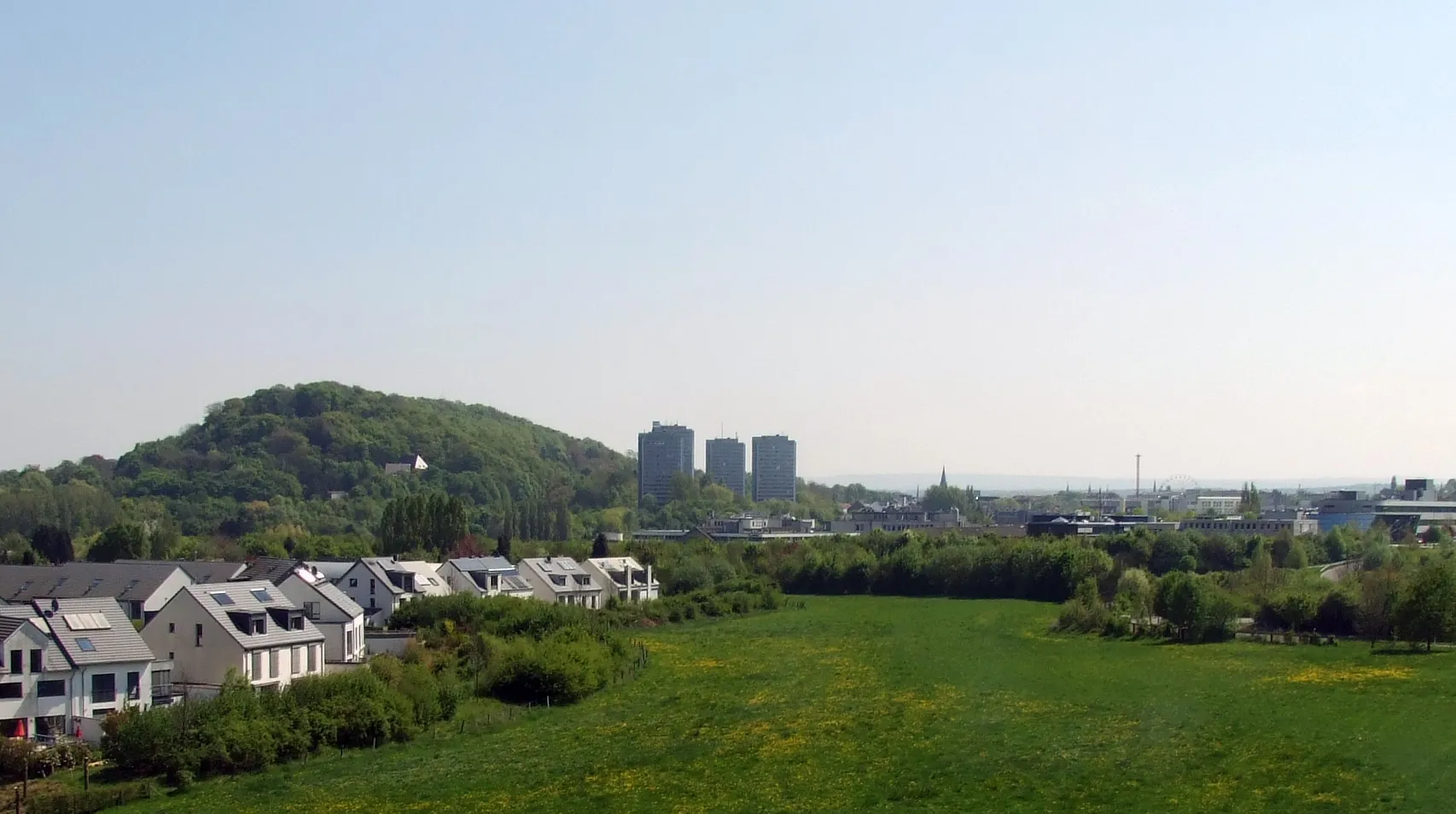
Bergehalde Maria-Hauptschacht224 mPeakVisit the Bergehalde Maria-Hauptschacht, a distinctive landmark with panoramic views and an interesting history.
11 km
11 km
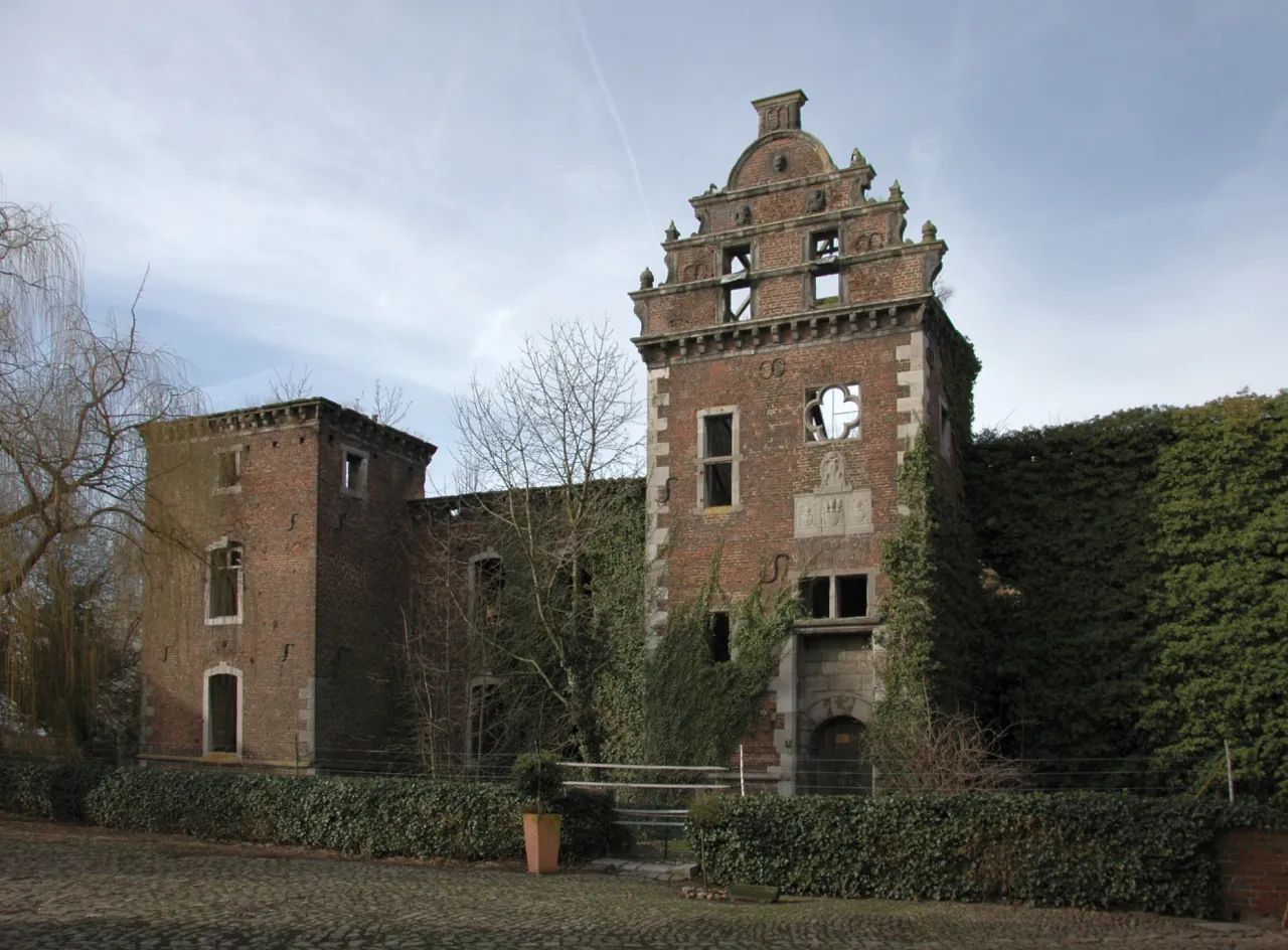
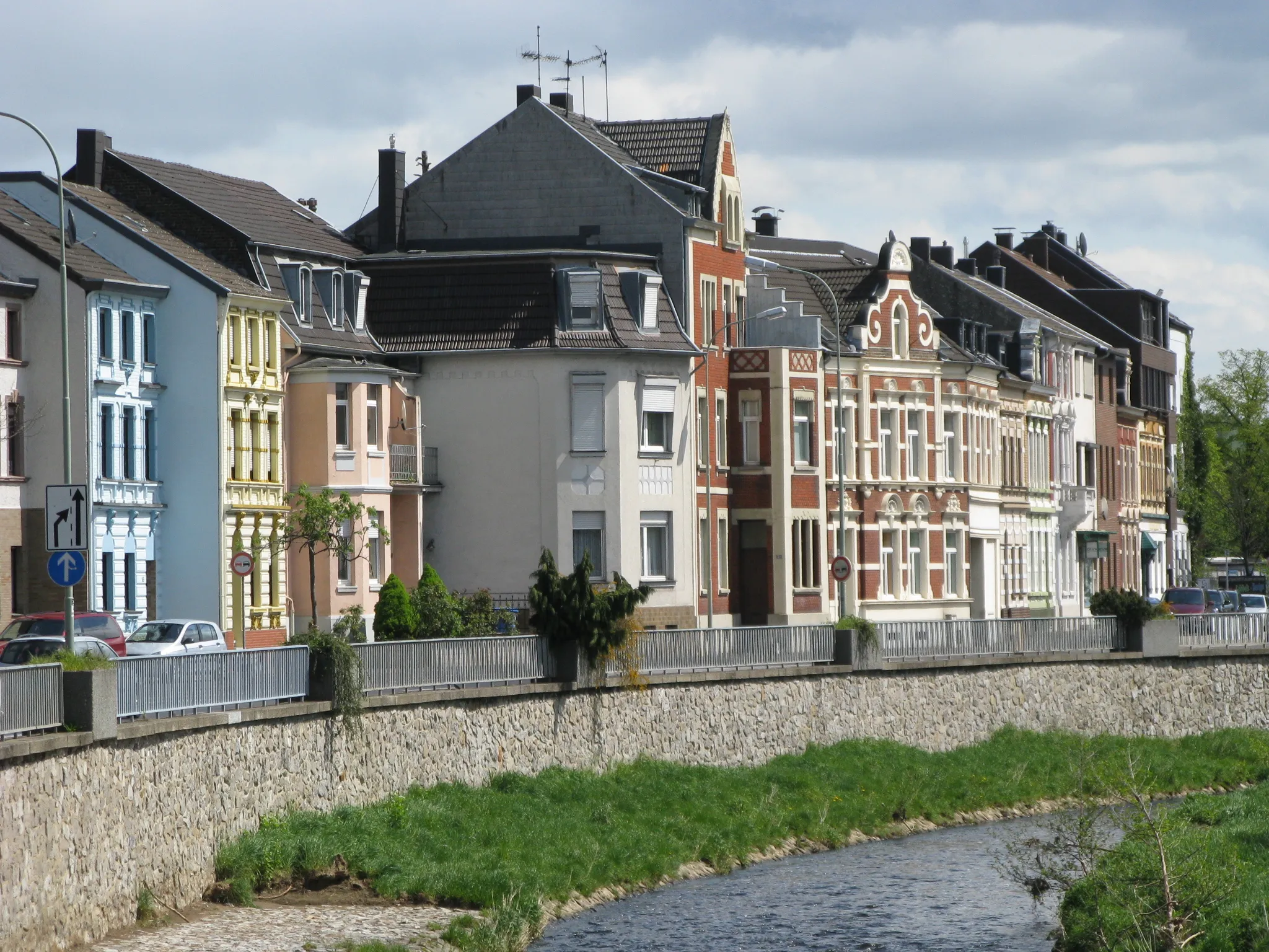
EschweilerTownPass through Eschweiler, a picturesque town known for its stunning architecture and charming atmosphere.
31 km
31 km
RaffelsbrandVillageExplore Raffelsbrand, a hidden gem with picturesque views and peaceful surroundings.
34 km
34 km
Peterberg492 mPeakClimb Peterberg and enjoy the rewarding views from the top.
50 km
50 km
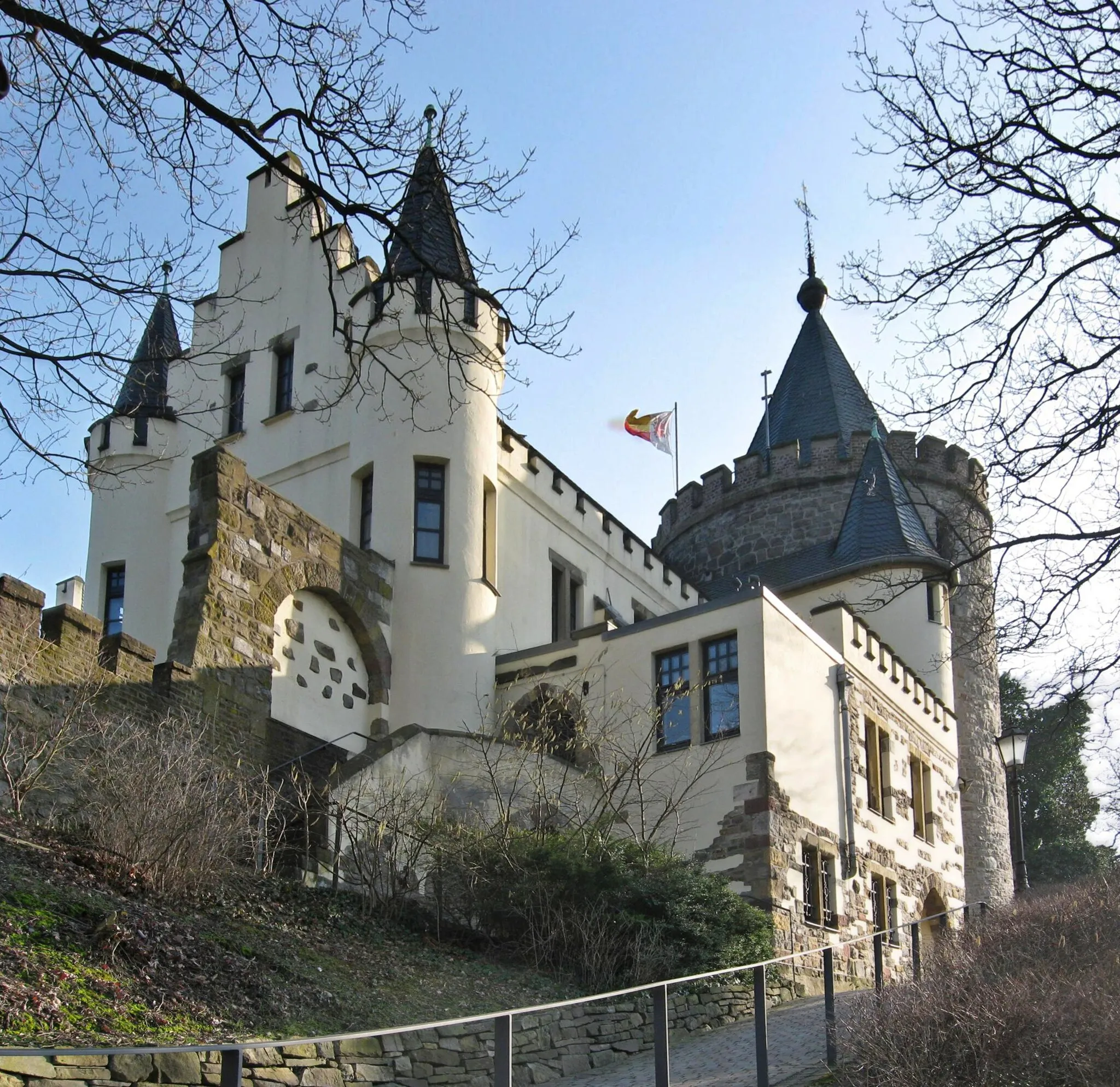
RoetgenVillageRoetgen is a famous cycling spot known for its challenging terrain and beautiful landscapes.
52 km
52 km
Höhe413ViewpointExperience the exhilarating climb up Höhe413, one of the highlights of this route.
72 km
72 km
Lousberg262 mPeakAdmire the historical Lousberg, a site of archaeological significance with stunning views.
76 km
76 km
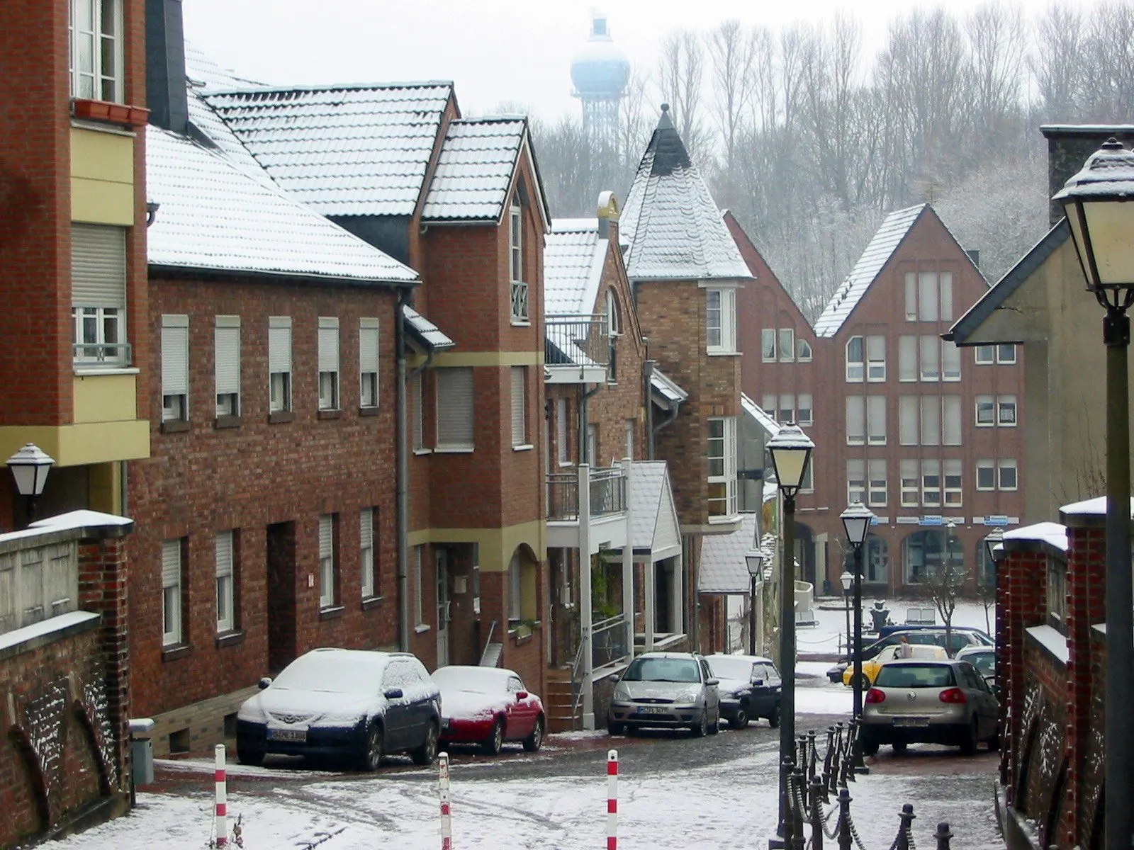
WürselenTownPass through Würselen, a town with interesting historical landmarks and a charming atmosphere.
84 km
84 km
Bergehalde Anna II231 mPeakVisit Bergehalde Anna II, a unique landmark offering panoramic views of the surrounding area.
85 km
85 km
Finish: Alsdorf City centerAlsdorf: A mix of urban routes and rural landscapes for diverse cycling.
Cycling routes nearby: