Gravel Adventure
A gravel cycling route starting from Alsdorf
Embark on an off-road gravel adventure, cycling through diverse landscapes.
Map
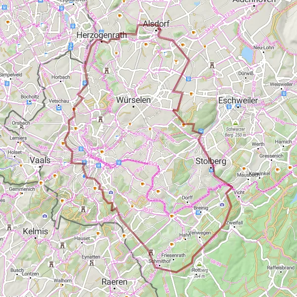
Get ready for an exciting gravel adventure, taking you off the beaten path and through diverse landscapes. This route offers a mix of challenging terrain and scenic beauty, making it ideal for thrill-seeking riders. As you cycle through various towns and villages, you'll have the opportunity to experience the region's unique charm and natural attractions.
gravel
68 km
627 m
Tough
Route profile
Highlights on the route
0 km
0 km
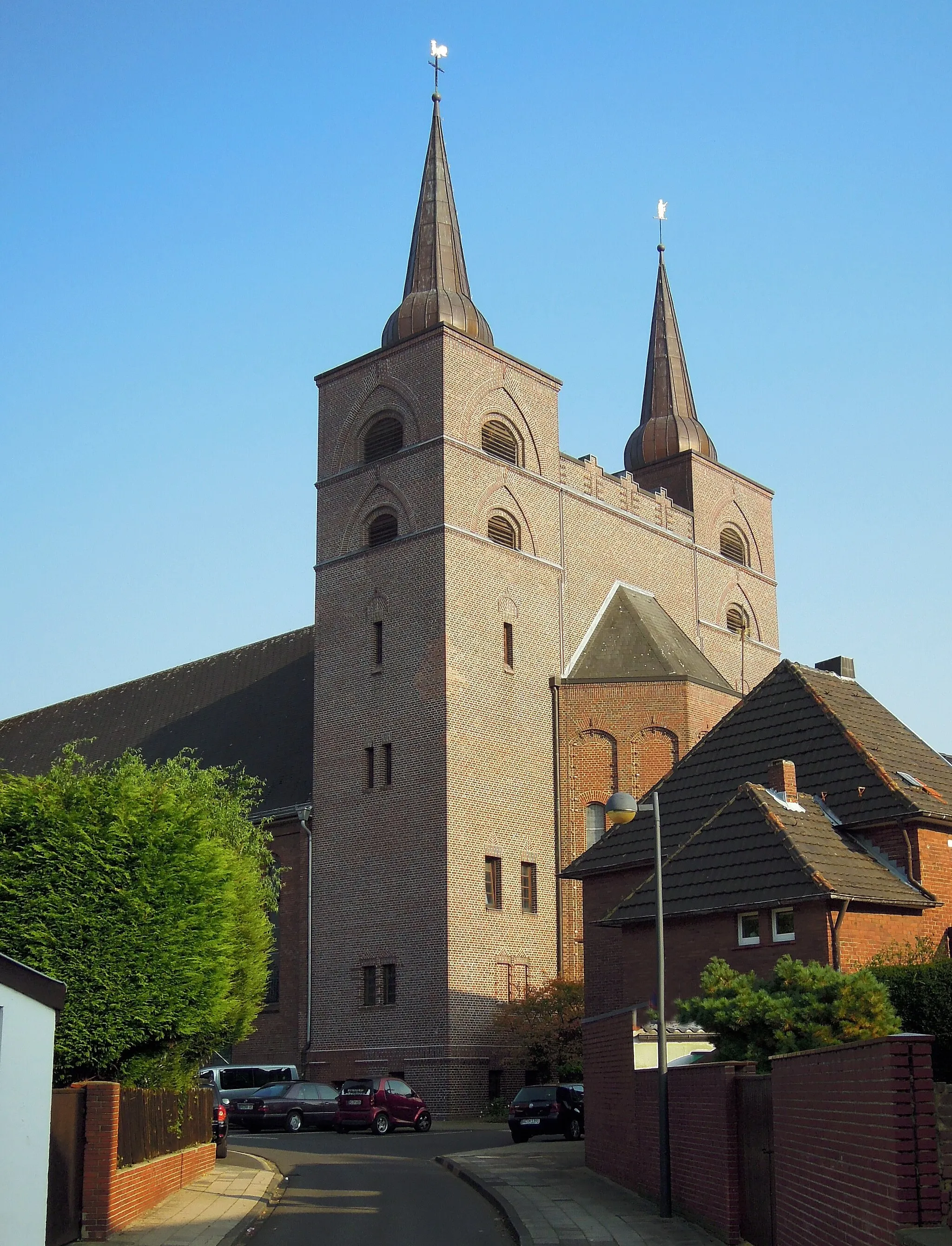
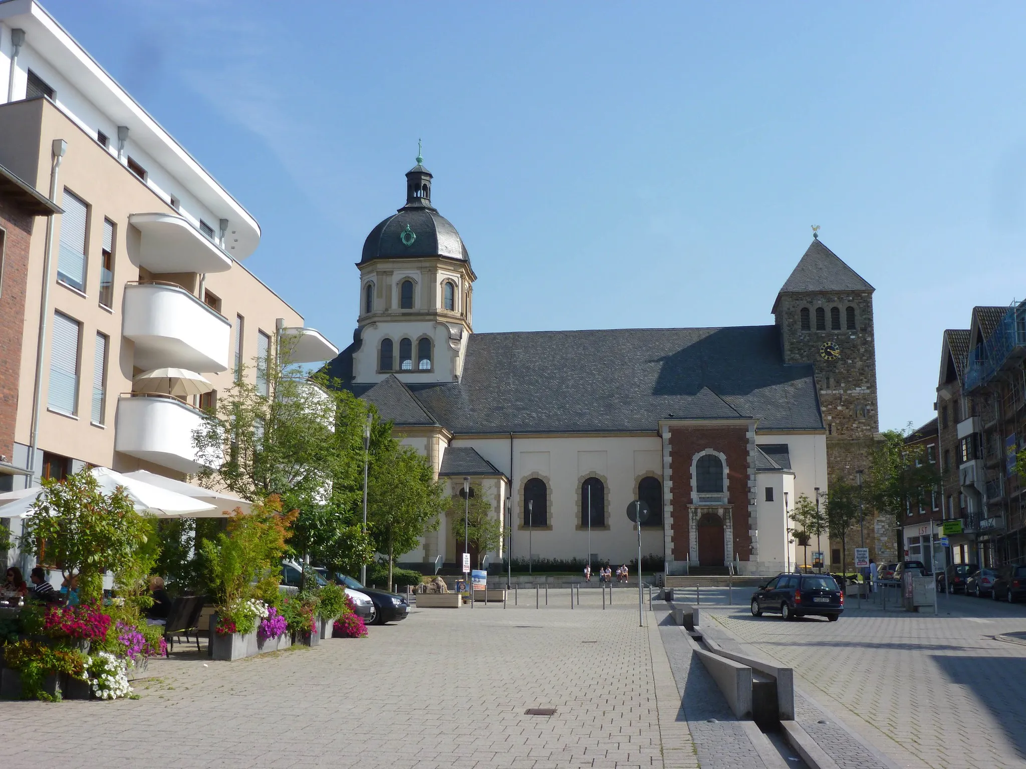
Start: Alsdorf City centerAlsdorf: A mix of urban routes and rural landscapes for diverse cycling.
Alsdorf, located in Köln, Germany, is a decent locality for both road and gravel cyclists. The area offers a mixture of urban routes and rural landscapes, providing diverse cycling opportunities. Cyclists can explore well-maintained bike paths and quiet roads that lead to scenic spots such as Grube Anna, a former coal mine turned nature park. Although not the most cycling-focused destination, Alsdorf still offers enjoyable rides and a mix of urban and natural surroundings.3 km
3 km
Bergehalde Maria-Hauptschacht224 mPeakClimb up Bergehalde Maria-Hauptschacht and enjoy stunning views from the top.
3 km
3 km
BlumenrathSub-urbBlumenrath is a small village surrounded by lush green fields, providing a peaceful and scenic atmosphere.
22 km
22 km
BreinigerbergHamletBreinigerberg offers a challenging ascent and rewards you with beautiful panoramic views.
23 km
23 km
SchlangenbergViewpointSchlangenberg is a natural attraction, known for its rocky peak and stunning vistas.
28 km
28 km
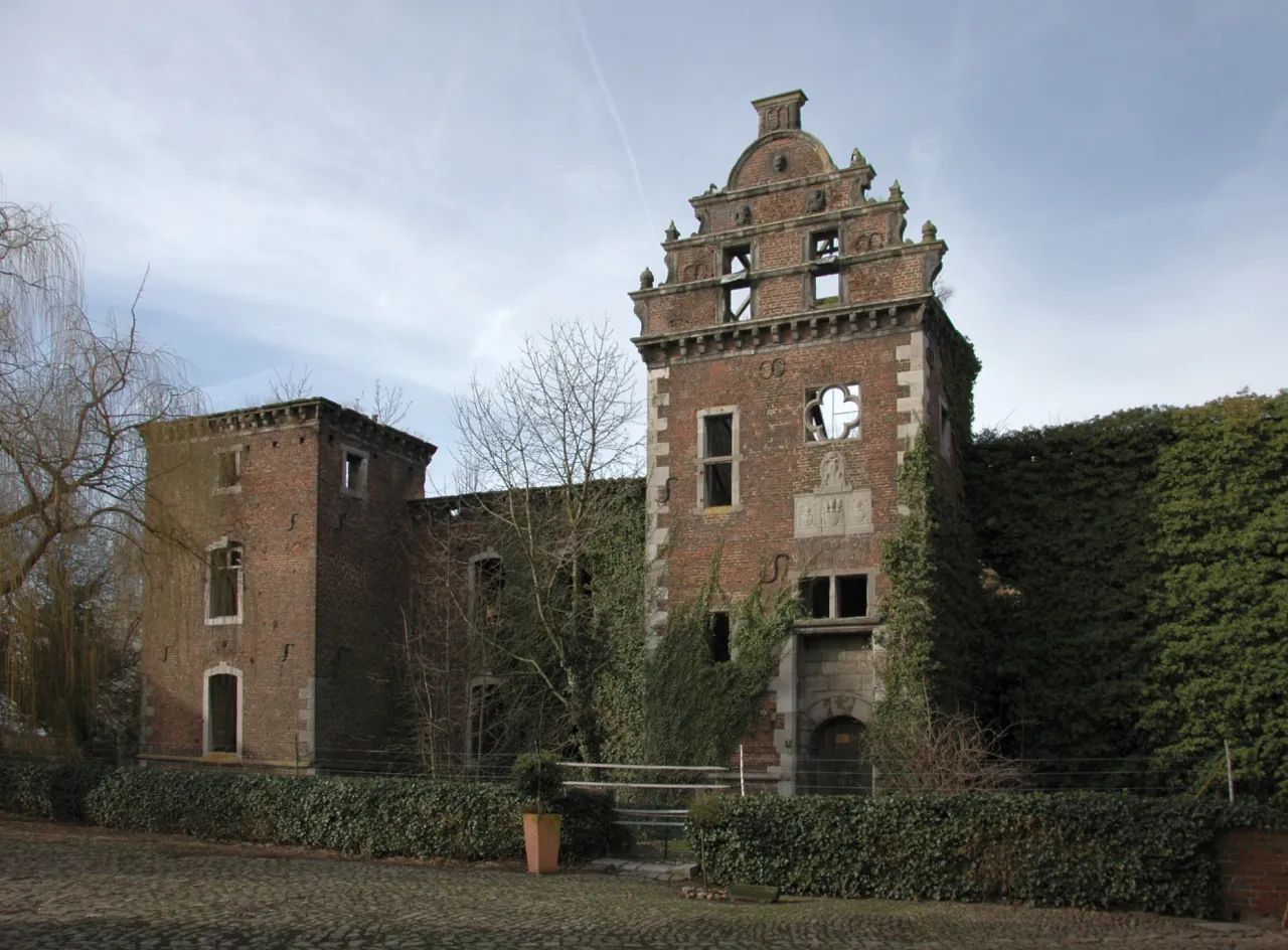
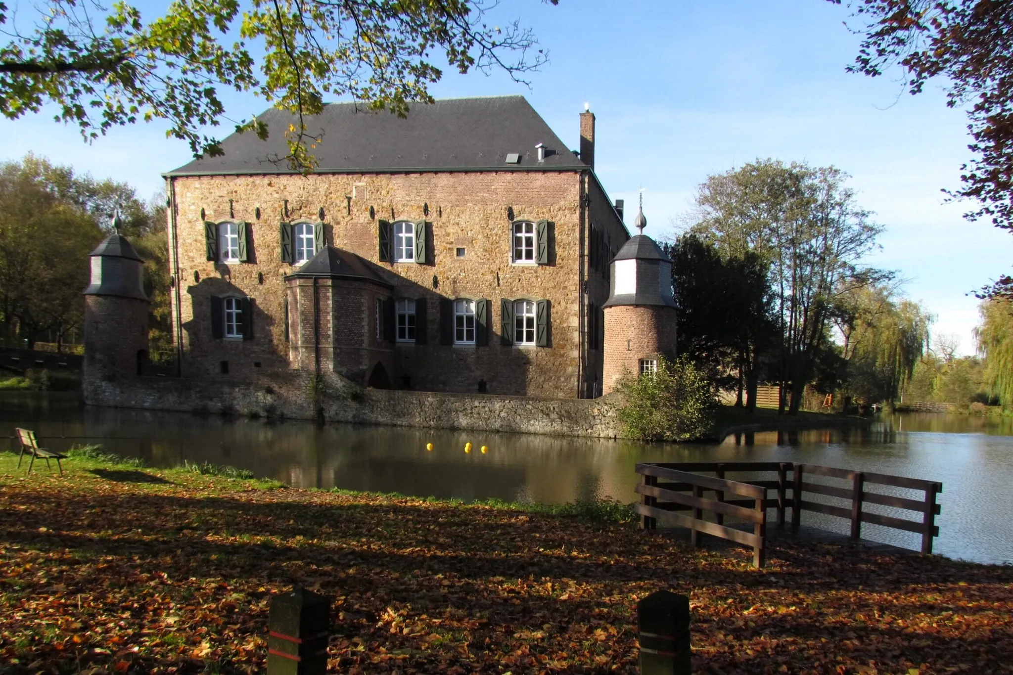
MulartshütteHamletVisit Mulartshütte, a historic mining settlement with preserved buildings and a rich cultural heritage.
42 km
42 km
Bismarck TowerViewpointThe Bismarck Tower is a local landmark, providing excellent views of the surrounding area.
55 km
55 km
Bergehalde Wilsberg213 mPeakBergehalde Wilsberg is a former mining hill, offering a challenging climb and rewarding panoramic views.
61 km
61 km
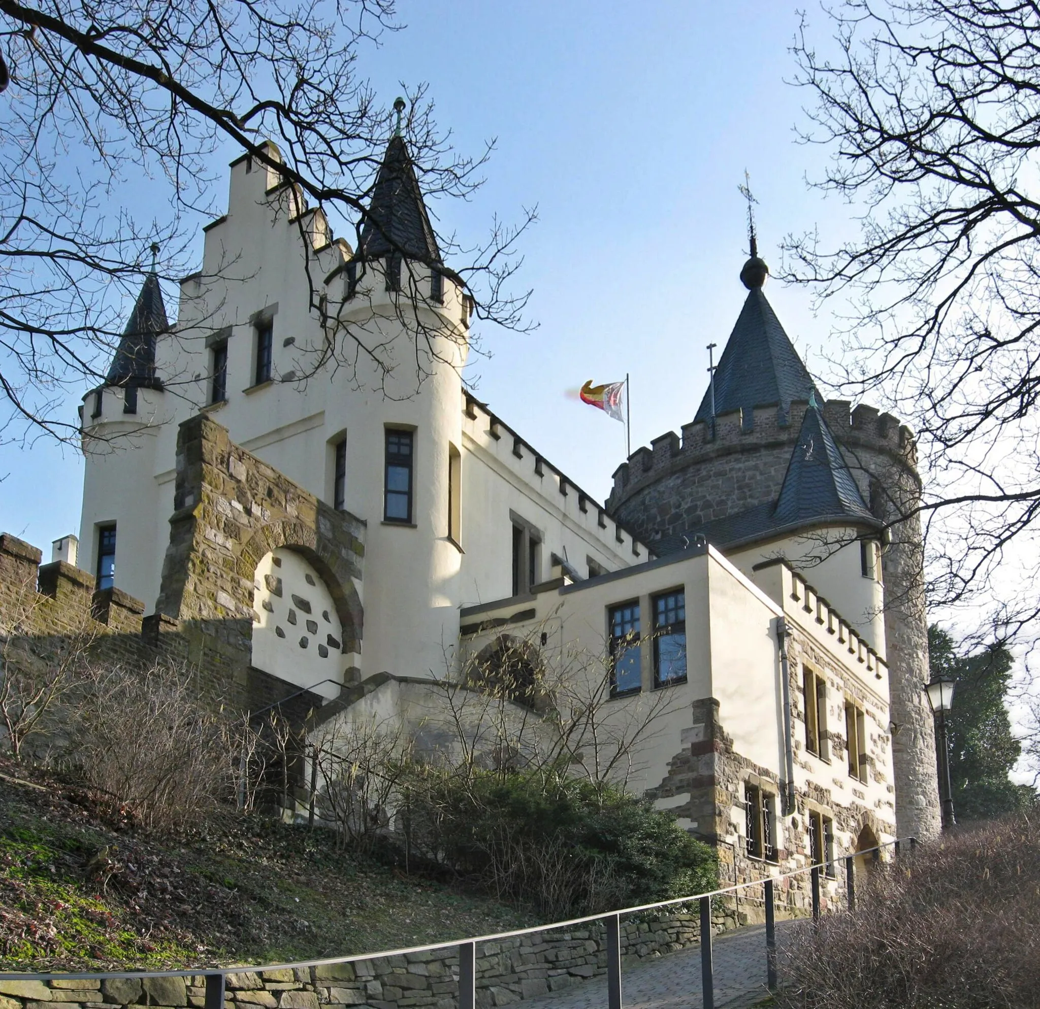
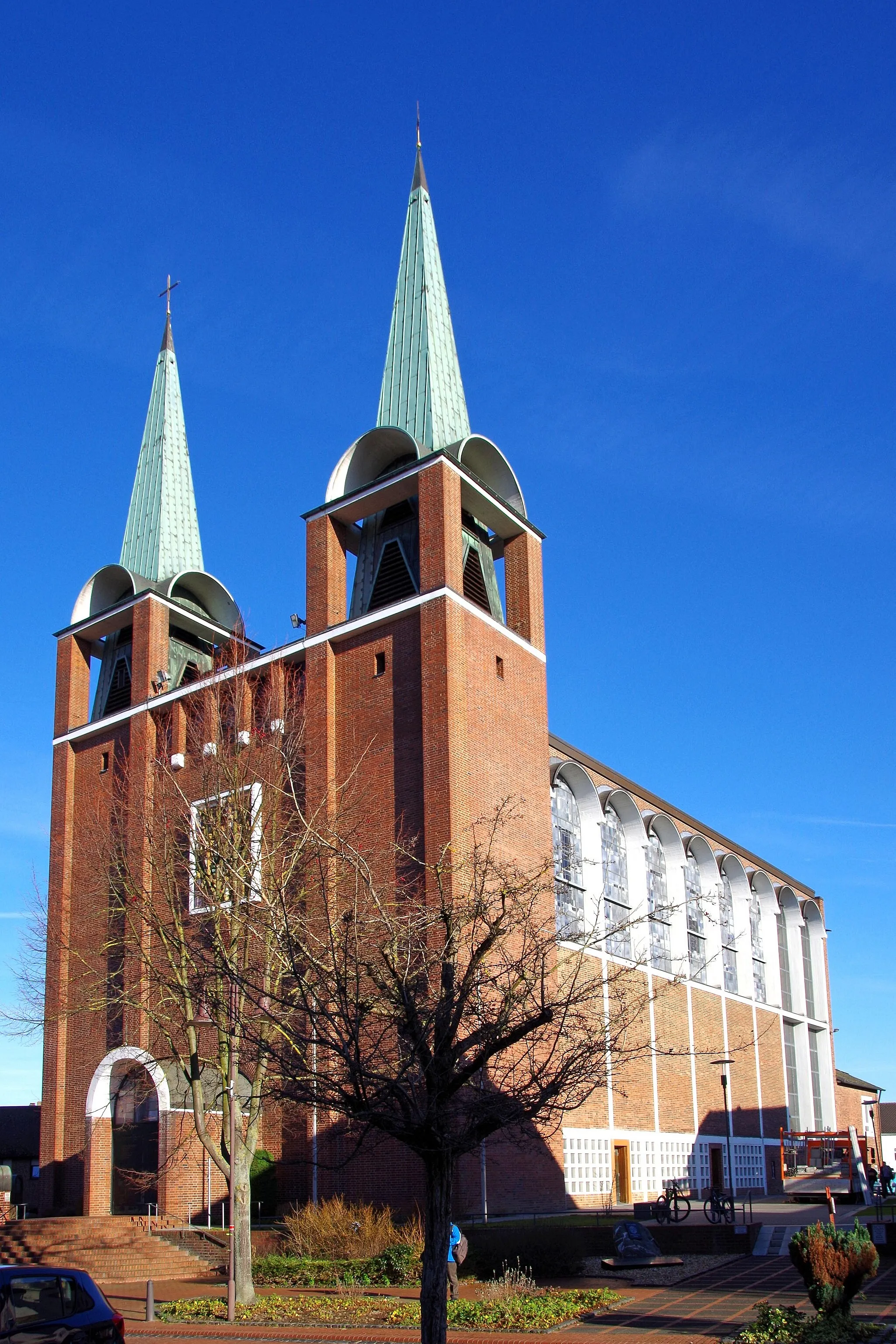
HerzogenrathTownHerzogenrath is a charming town with a medieval core, perfect for a leisurely exploration.
66 km
66 km
Bergehalde Anna II231 mPeakClimb Bergehalde Anna II to experience breathtaking views of the countryside.
68 km
68 km
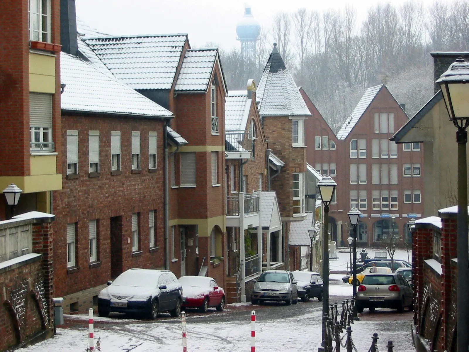
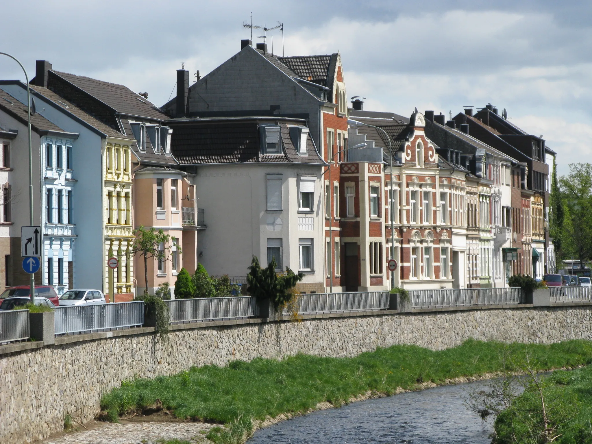
AlsdorfTownAlsdorf is a small town with a rich industrial history and a vibrant cultural scene.
68 km
68 km
Finish: Alsdorf City centerAlsdorf: A mix of urban routes and rural landscapes for diverse cycling.
Cycling routes nearby: