Gravel Adventure
A gravel cycling route starting from Miltach
Off-Road Excursion Through Nature
Map
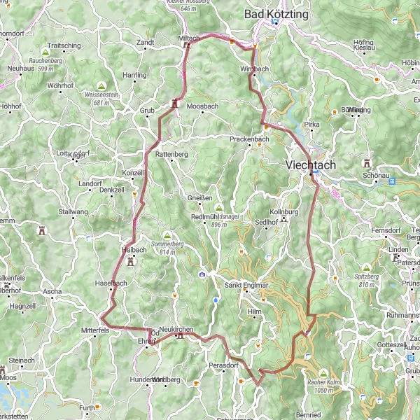
Embark on a gravel adventure with this 77-kilometer route featuring 1510 meters of ascent. Meandering through nature, this relatively challenging route is perfect for gravel enthusiasts seeking a thrilling off-road experience. Highlights along the way include the scenic Blaibach, the medieval Wacht, and the majestic Haidbühl. With a difficulty rating of 4 out of 5, only well-trained cyclists should attempt this epic gravel adventure.
gravel
77 km
1510 m
Tough
Route profile
Highlights on the route
0 km
0 km
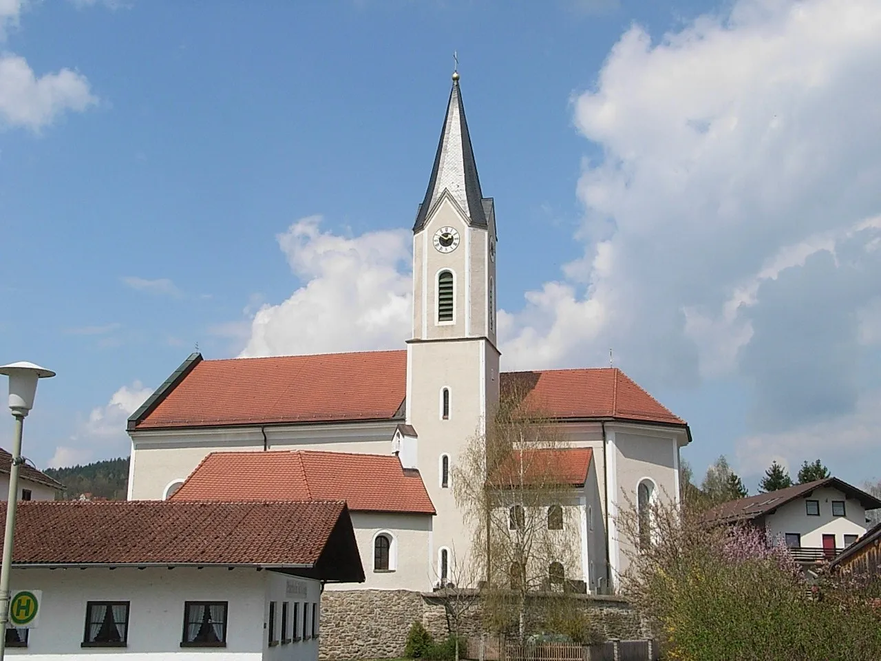
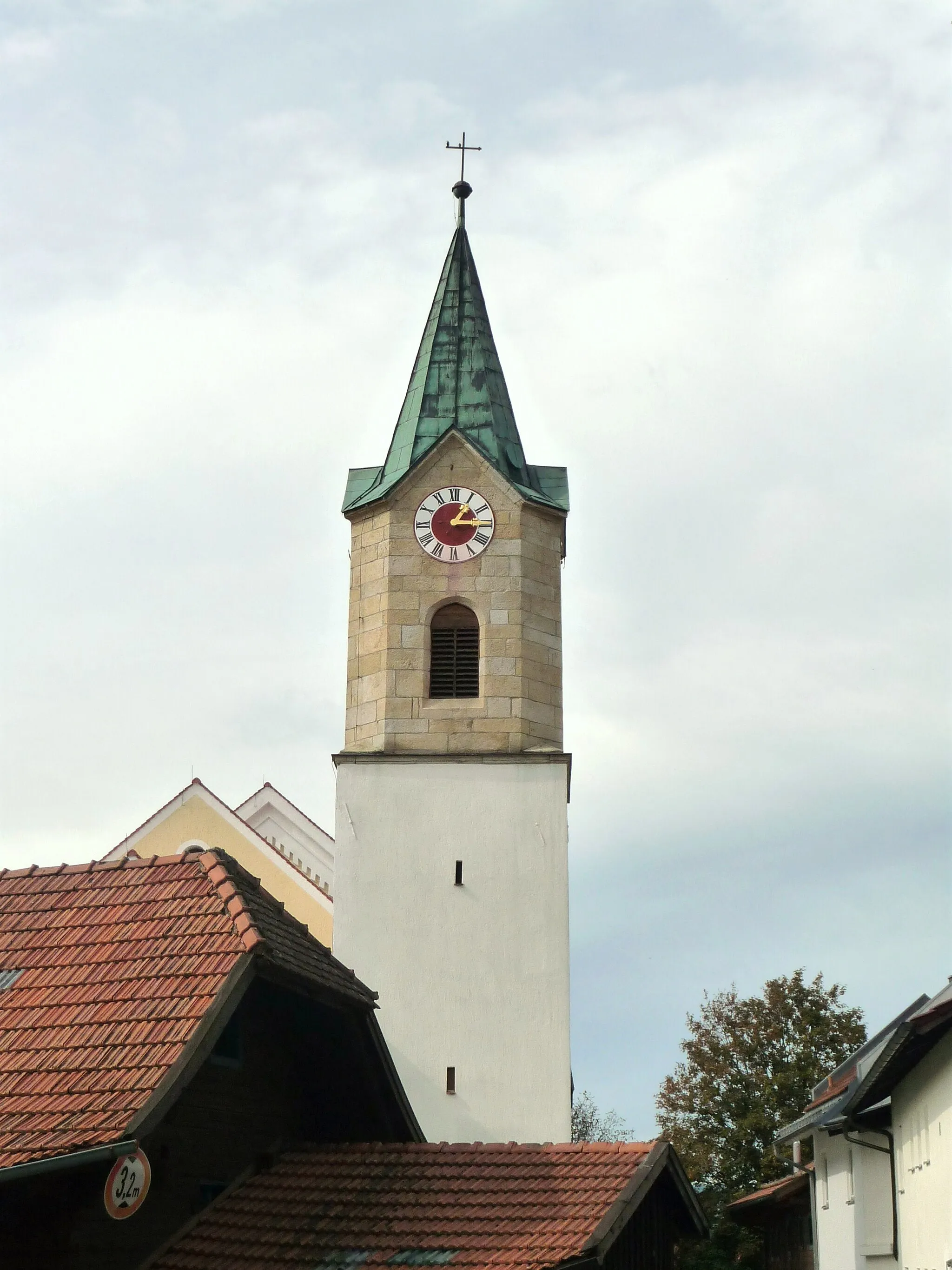
Start: Miltach Village centerMiltach: Relaxing cycling in the idyllic countryside of Miltach, Germany
Miltach is a locality located in the Oberpfalz region of Germany. From a cyclist's perspective, Miltach offers quaint rural roads and scenic landscapes, making it a pleasant destination for leisurely rides. The terrain is mostly flat, with occasional gentle slopes, suitable for cyclists of all skill levels. While there are no famous cycling-related spots or climbs nearby, you can explore the charming town and visit historical sights such as the Saint Andrew Church. Overall, Miltach provides a quiet and enjoyable locality for cyclists seeking a peaceful rural cycling experience.3 km
3 km
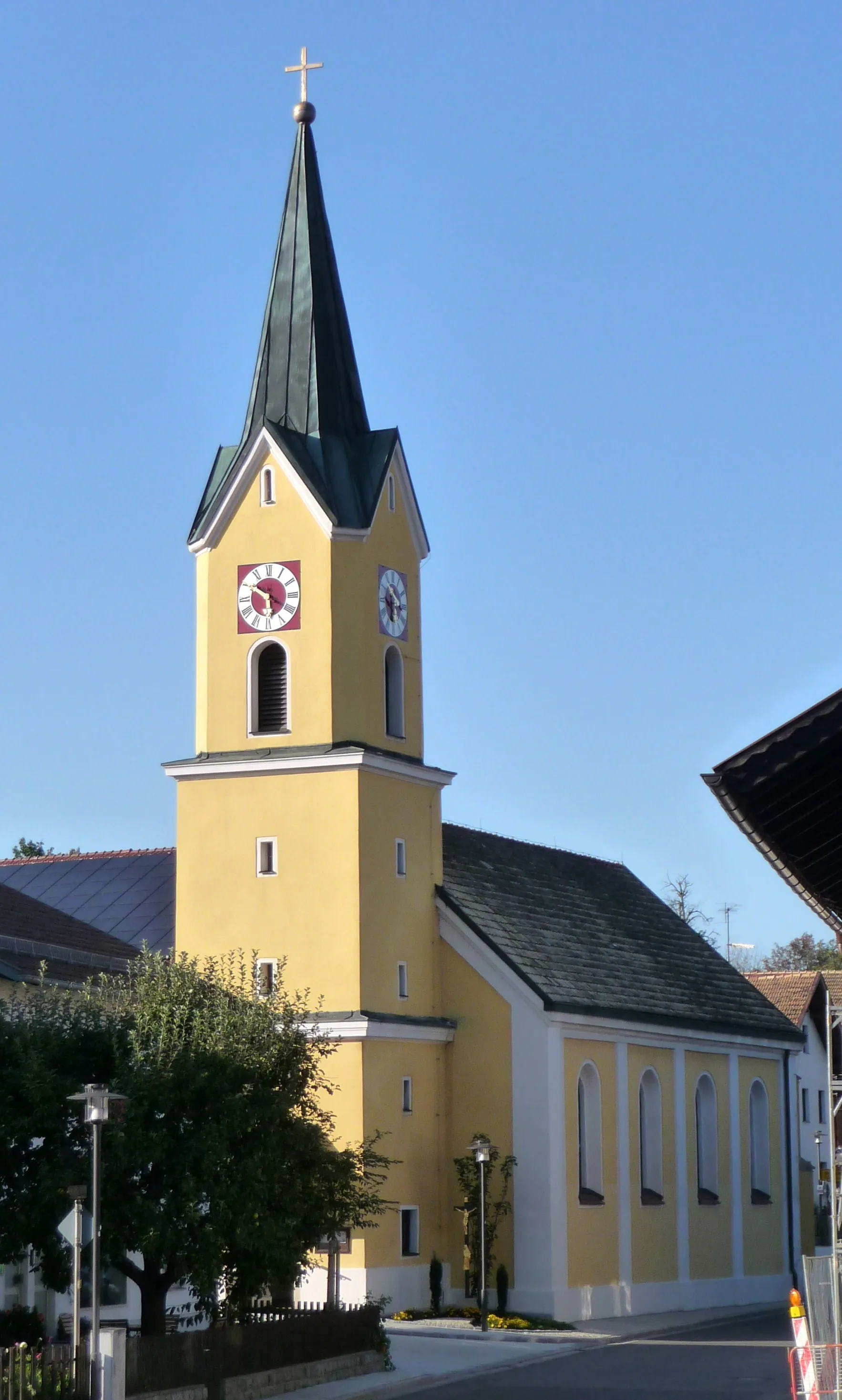
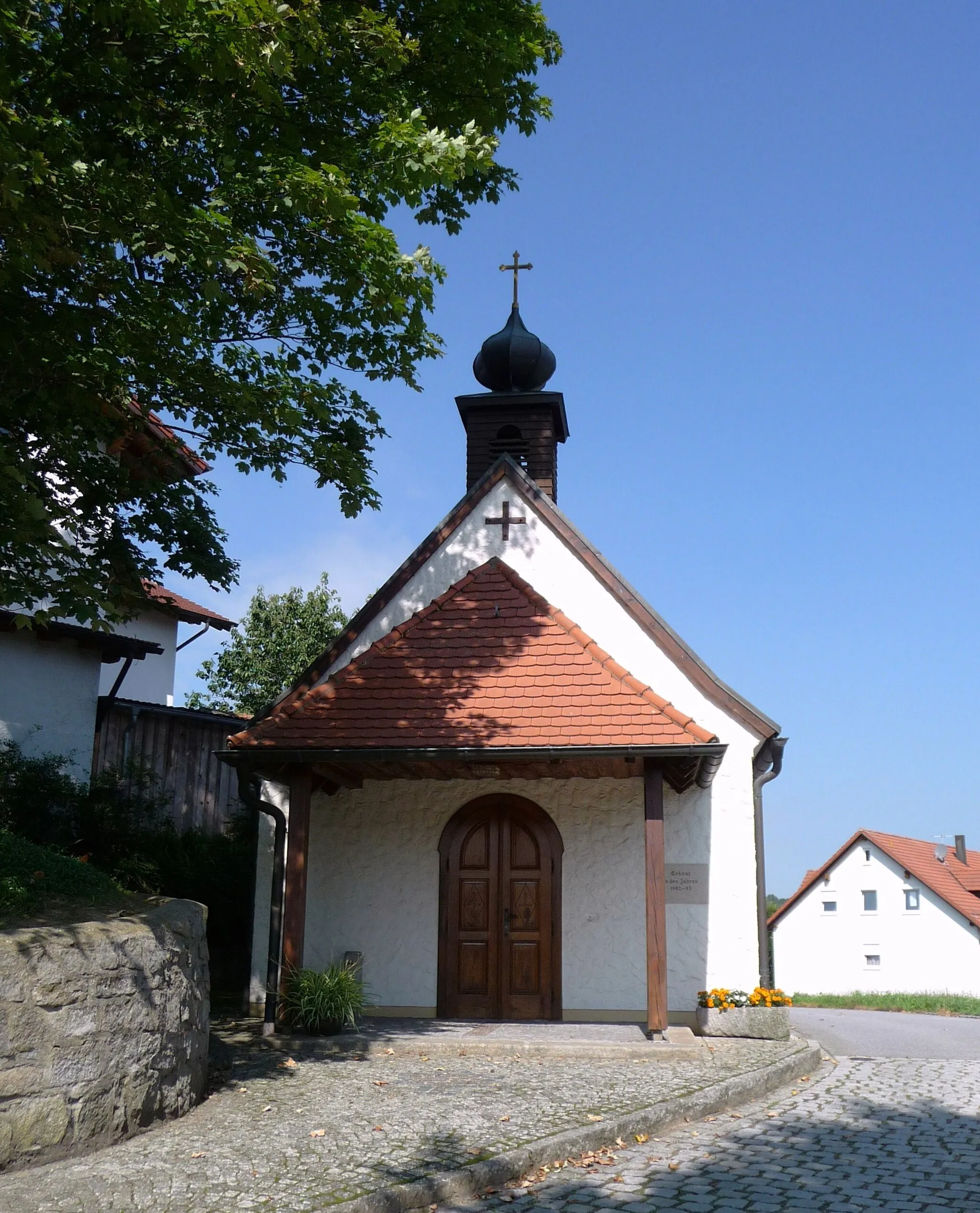
BlaibachVillageBlaibach's picturesque setting and charming architecture make it a favorite destination.
15 km
15 km
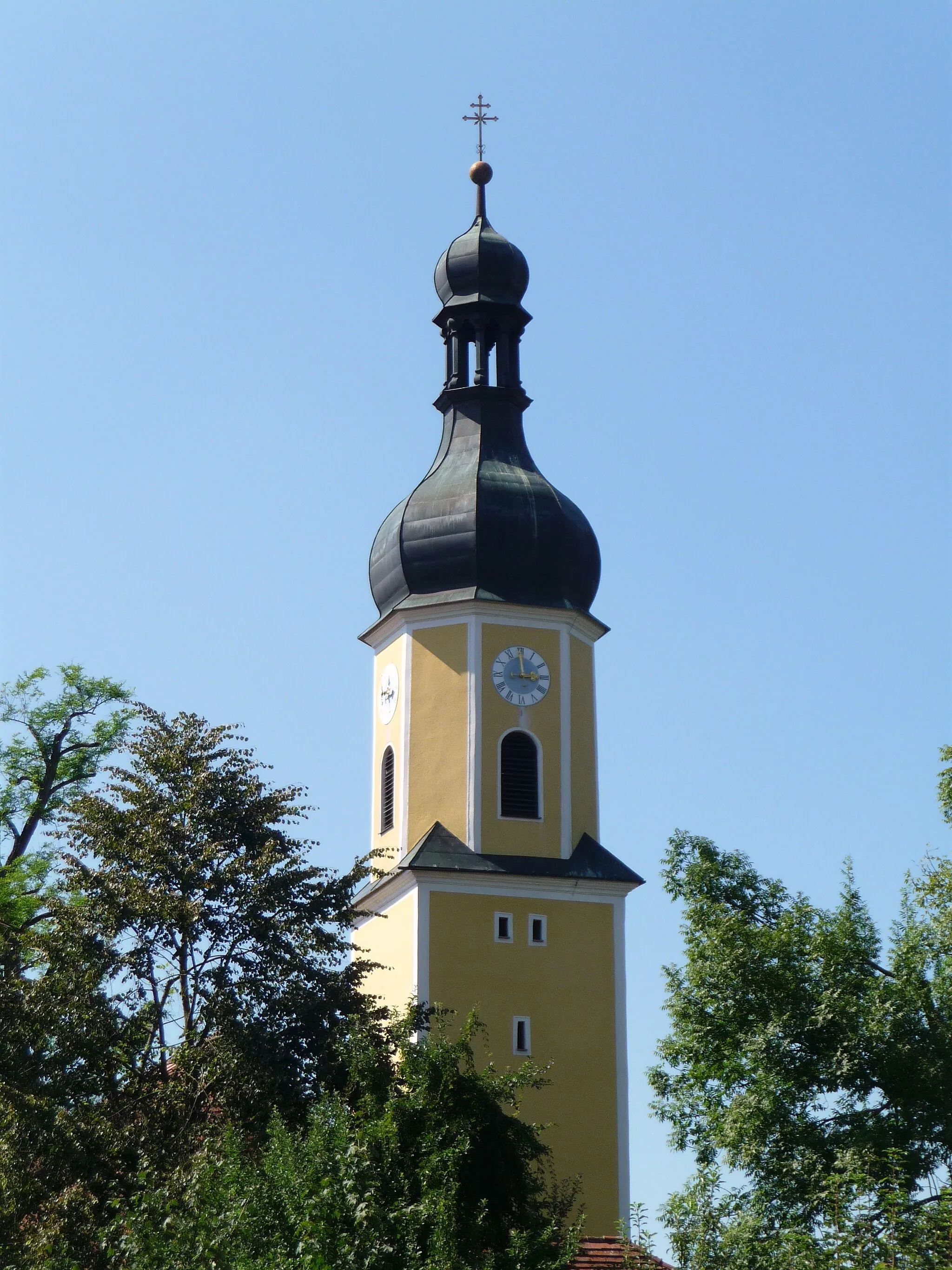
Wacht507 mPeakWacht's castle ruins provide a historic touch to this off-road adventure.
32 km
32 km
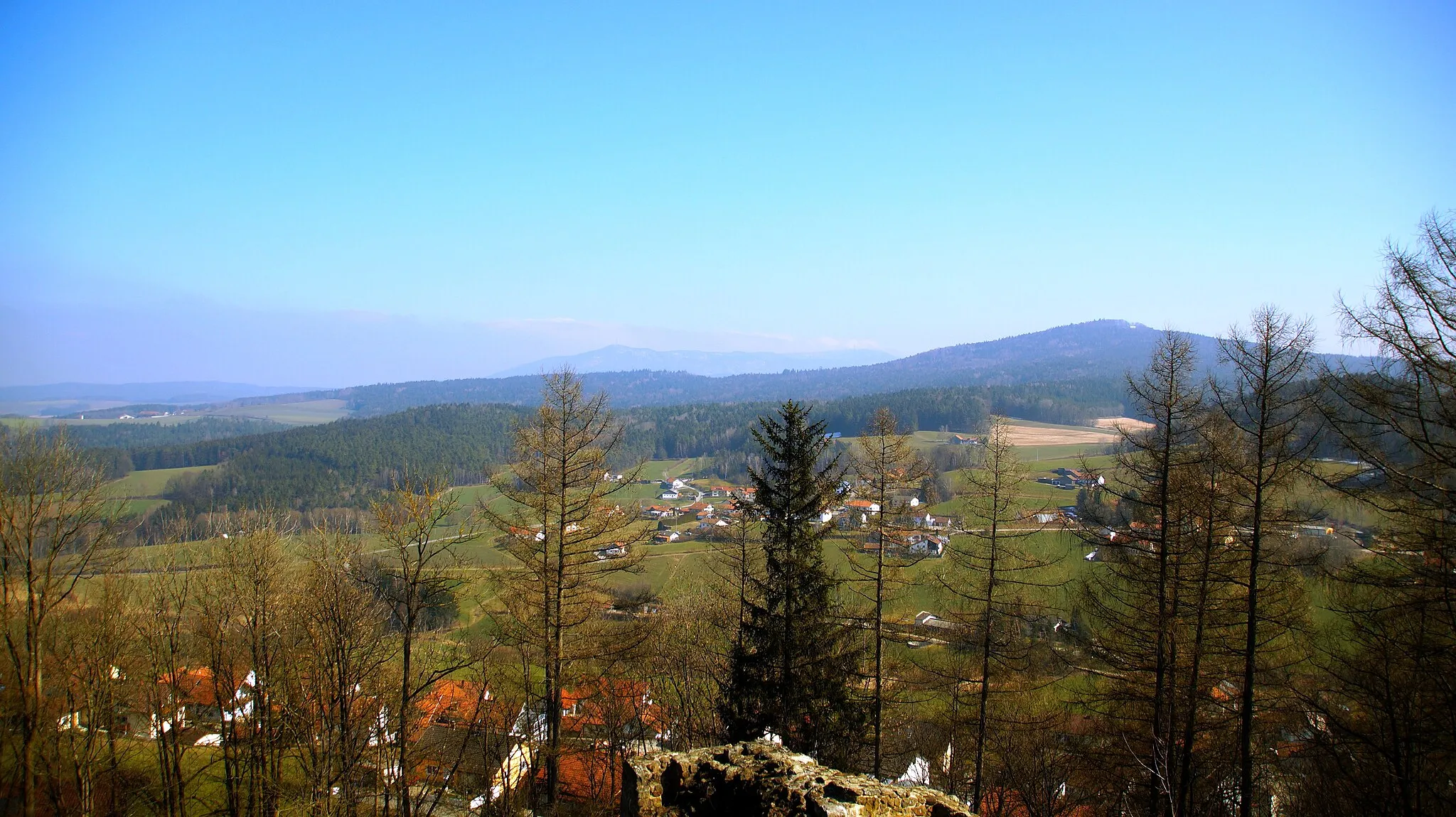
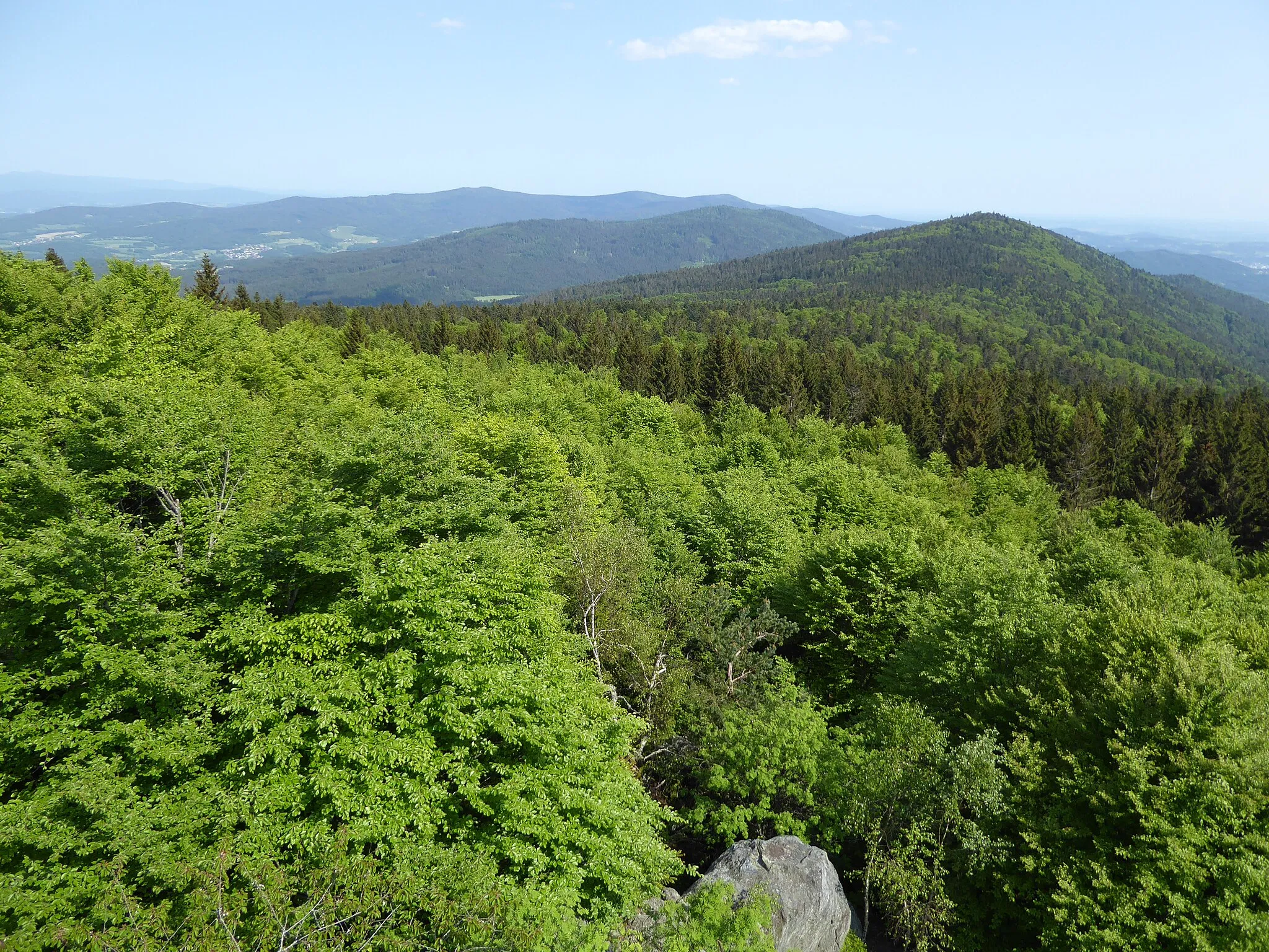
Hirschenstein1095 mPeakHirschenstein offers breathtaking panoramic views from its summit after a challenging climb.
52 km
52 km
HaidbühlHamletHaidbühl is a remote and awe-inspiring spot to rest and enjoy the tranquil surroundings.
55 km
55 km
Schwarzer Dachsberg481 mPeakSchwarzer Dachsberg rewards gravel adventurers with beautiful landscapes and deep forests.
77 km
77 km
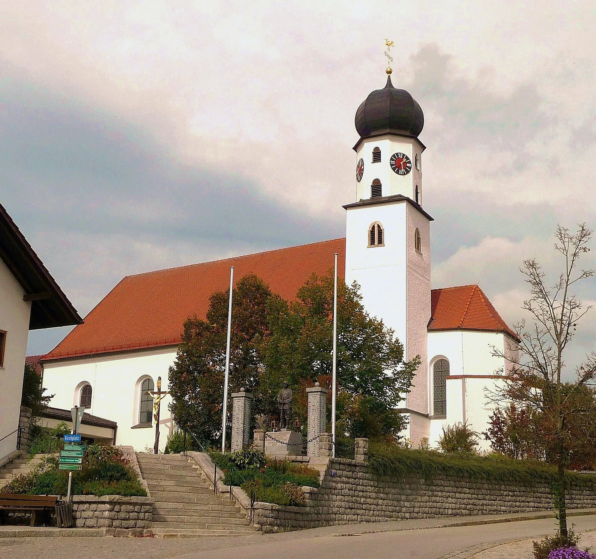
Schloss MiltachCastleSchloss Miltach's medieval architecture and scenic location make it an ideal resting point.
77 km
77 km
Finish: Miltach Village centerMiltach: Relaxing cycling in the idyllic countryside of Miltach, Germany
Cycling routes nearby: