The Prackenbach Loop
A road cycling route starting from Miltach
An exhilarating ride through the scenic countryside near Miltach
Map
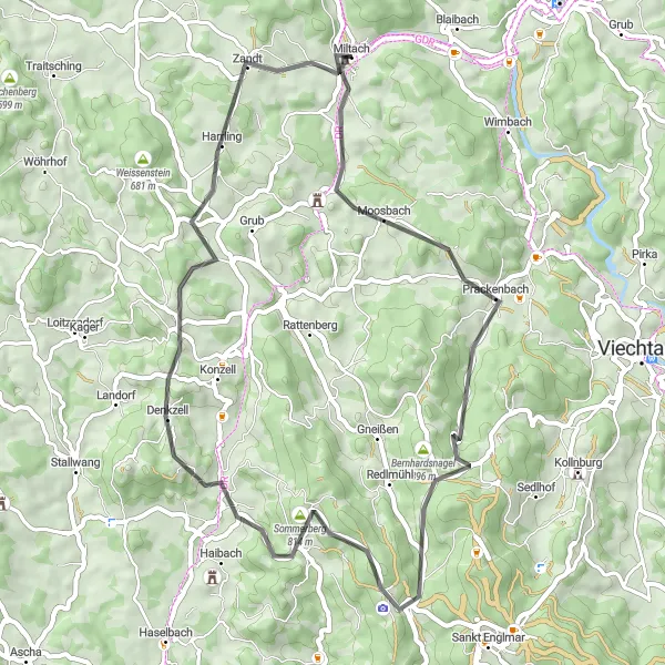
Discover the picturesque landscapes and charming villages on this 52-kilometer route. With a moderate ascent of 1,196 meters, it offers a thrilling challenge for amateur cyclists while providing ample opportunities to soak in the natural beauty of the Oberpfalz region.
road
52 km
1196 m
Tough
Route profile
Highlights on the route
0 km
0 km
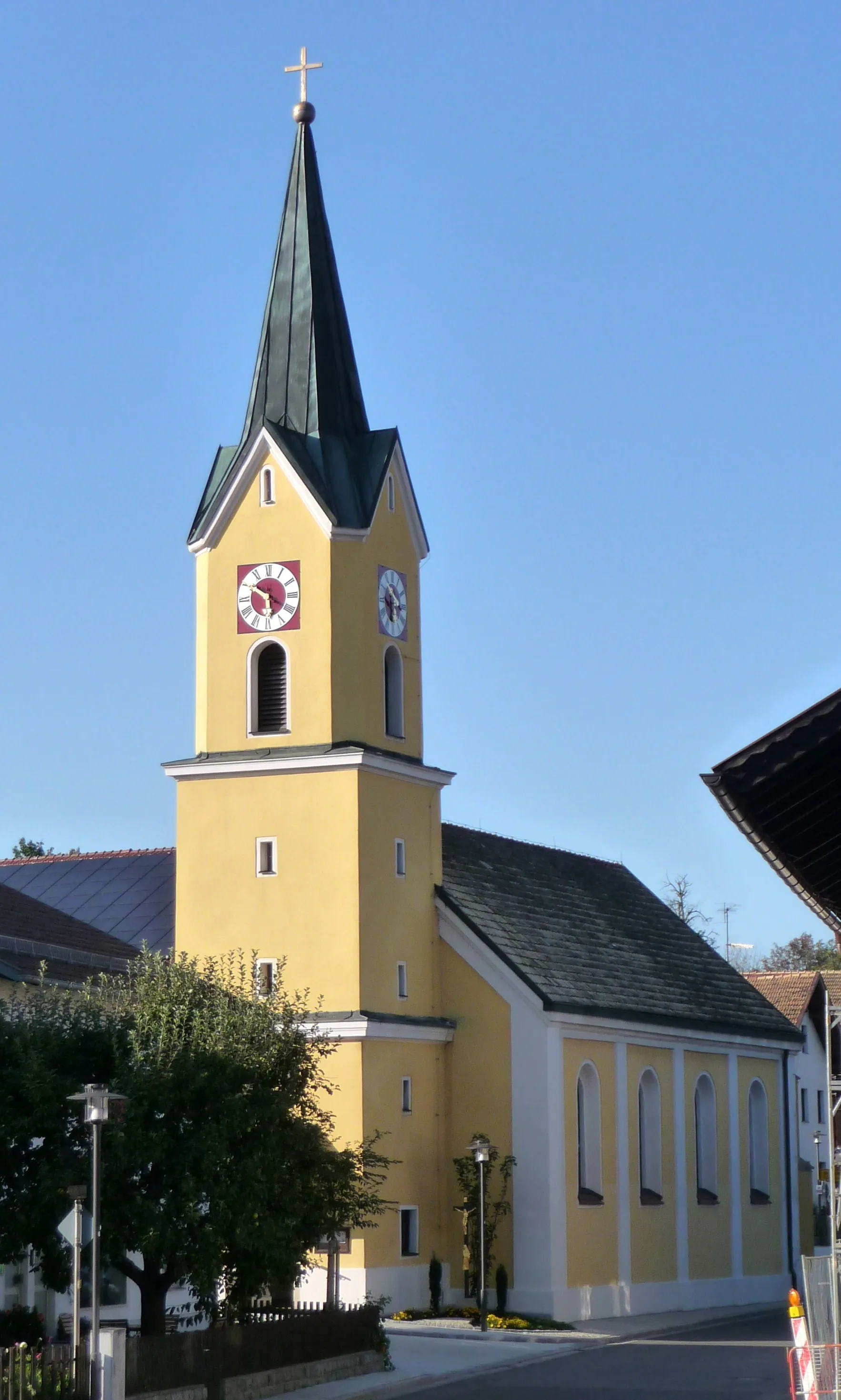
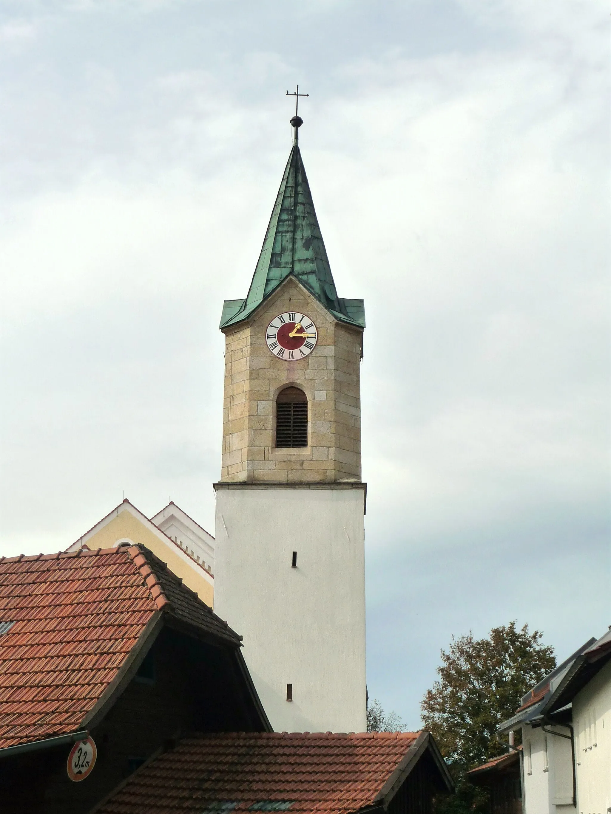
Start: Miltach Village centerMiltach: Relaxing cycling in the idyllic countryside of Miltach, Germany
Miltach is a locality located in the Oberpfalz region of Germany. From a cyclist's perspective, Miltach offers quaint rural roads and scenic landscapes, making it a pleasant destination for leisurely rides. The terrain is mostly flat, with occasional gentle slopes, suitable for cyclists of all skill levels. While there are no famous cycling-related spots or climbs nearby, you can explore the charming town and visit historical sights such as the Saint Andrew Church. Overall, Miltach provides a quiet and enjoyable locality for cyclists seeking a peaceful rural cycling experience.10 km
10 km
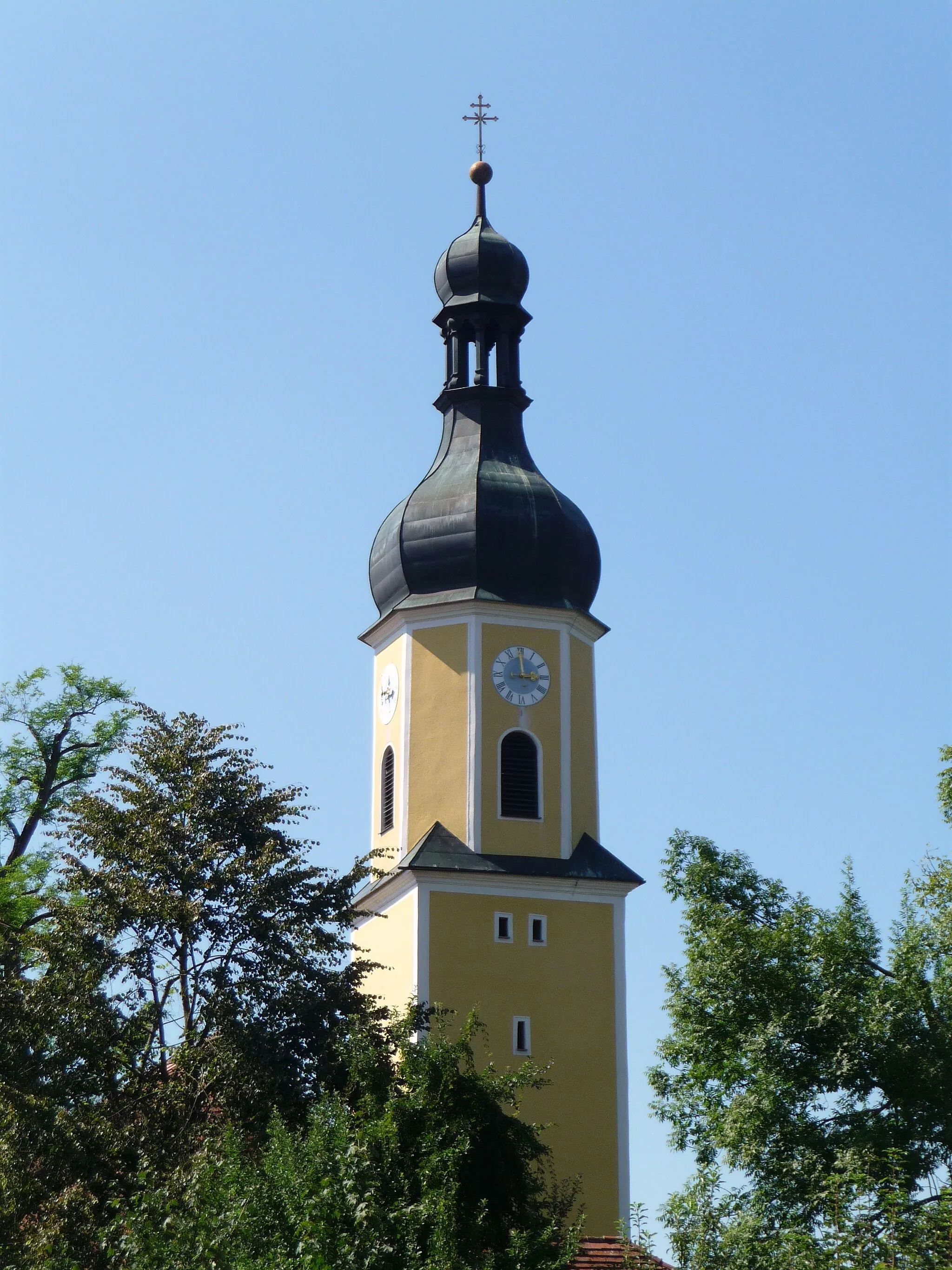
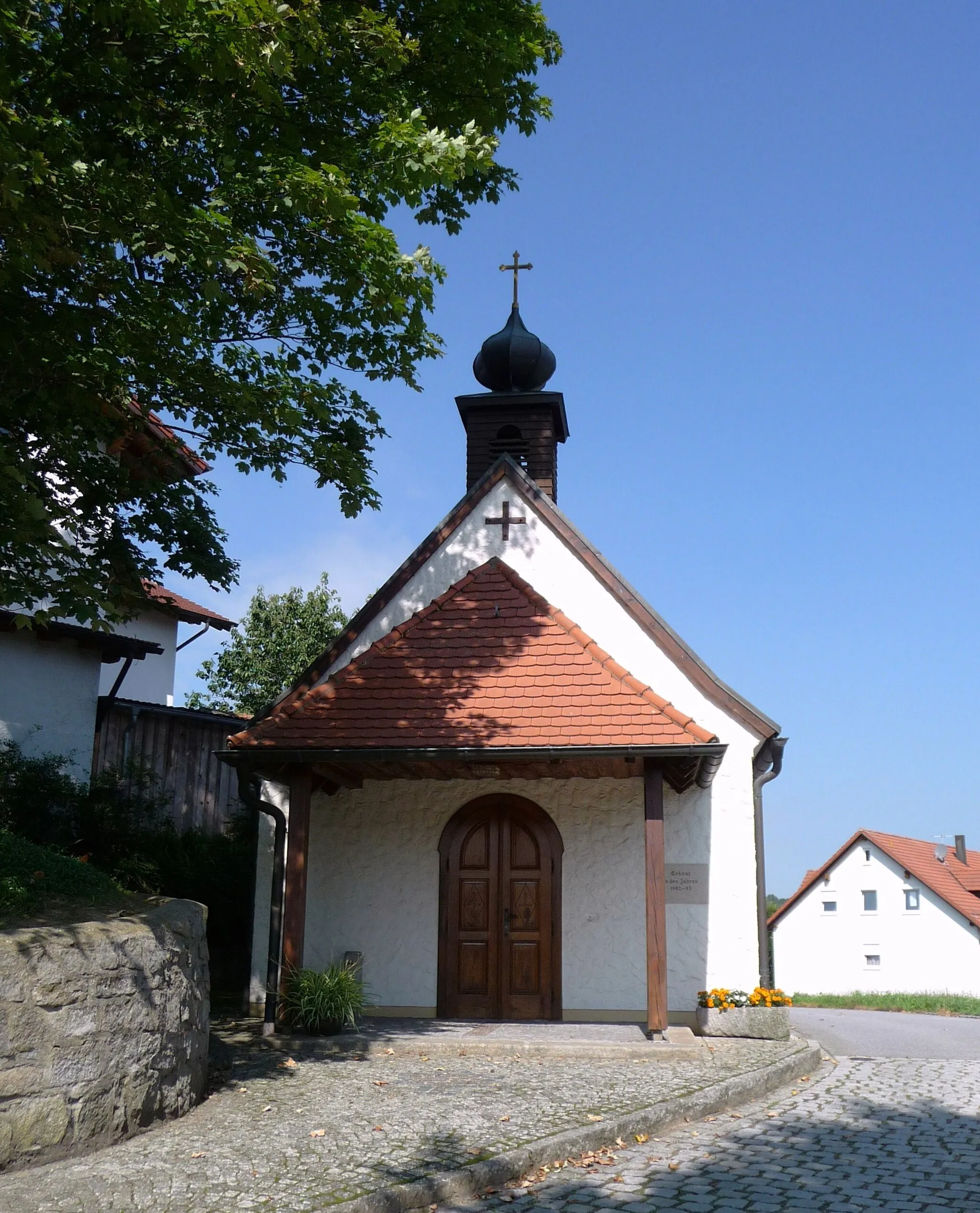
PrackenbachVillageAs you pass through the village of Prackenbach, you'll be enchanted by the idyllic charm of traditional Bavarian architecture and the tranquil atmosphere of this hidden gem.
14 km
14 km
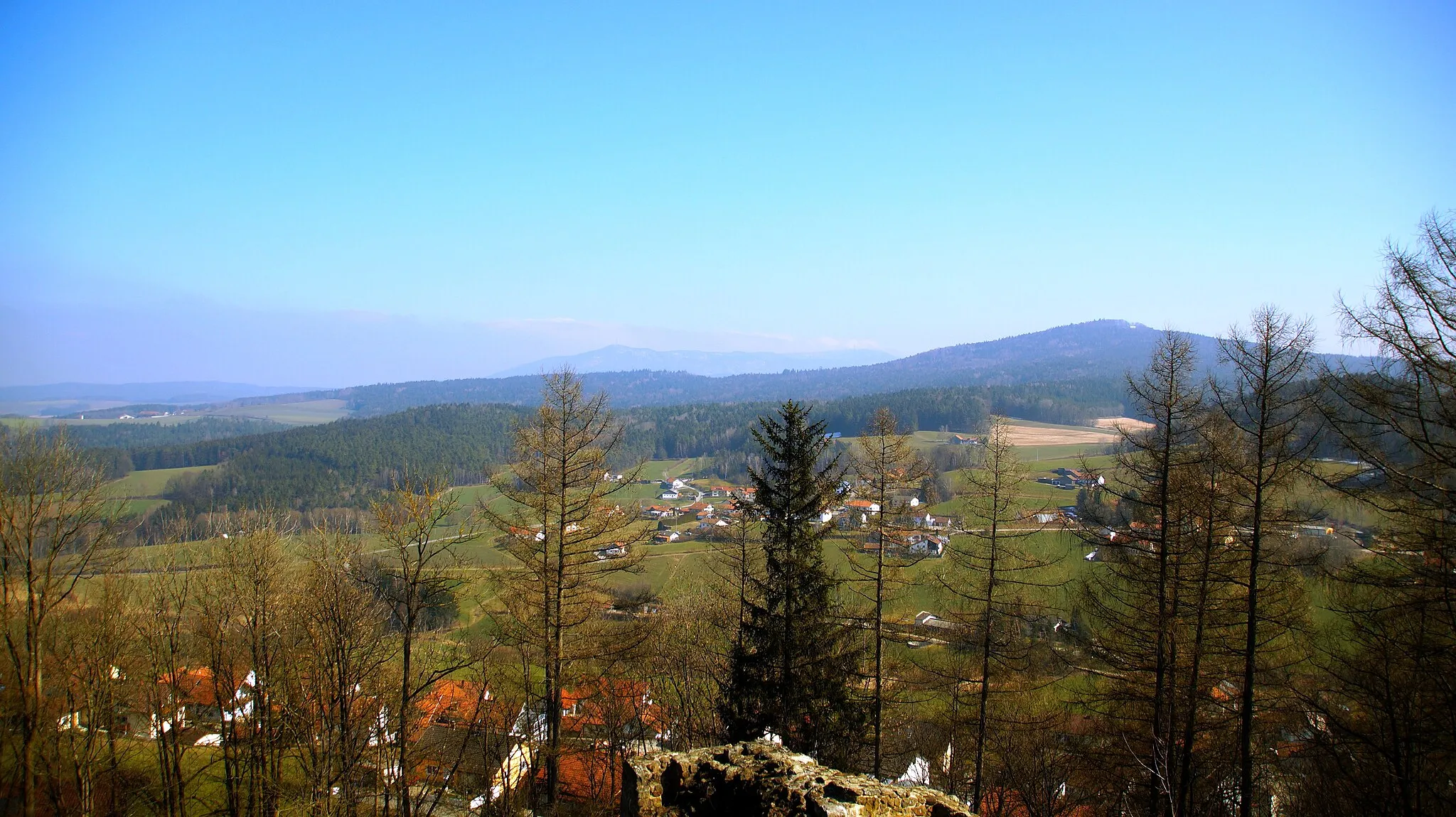
Hofberg688 mPeakReach the summit of Hofberg after a challenging climb and take in breathtaking panoramic views of the surrounding forests and meadows.
27 km
27 km
Sommerberg814 mPeakThe Sommerberg area provides a refreshing change of scenery with its lush green meadows and crystal clear streams. Take a moment to rest and feel a sense of serenity in this natural paradise.
28 km
28 km
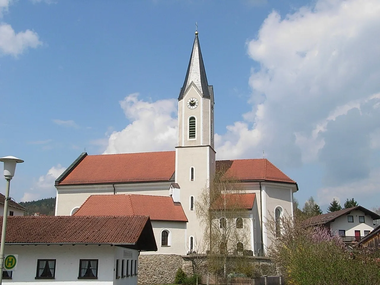
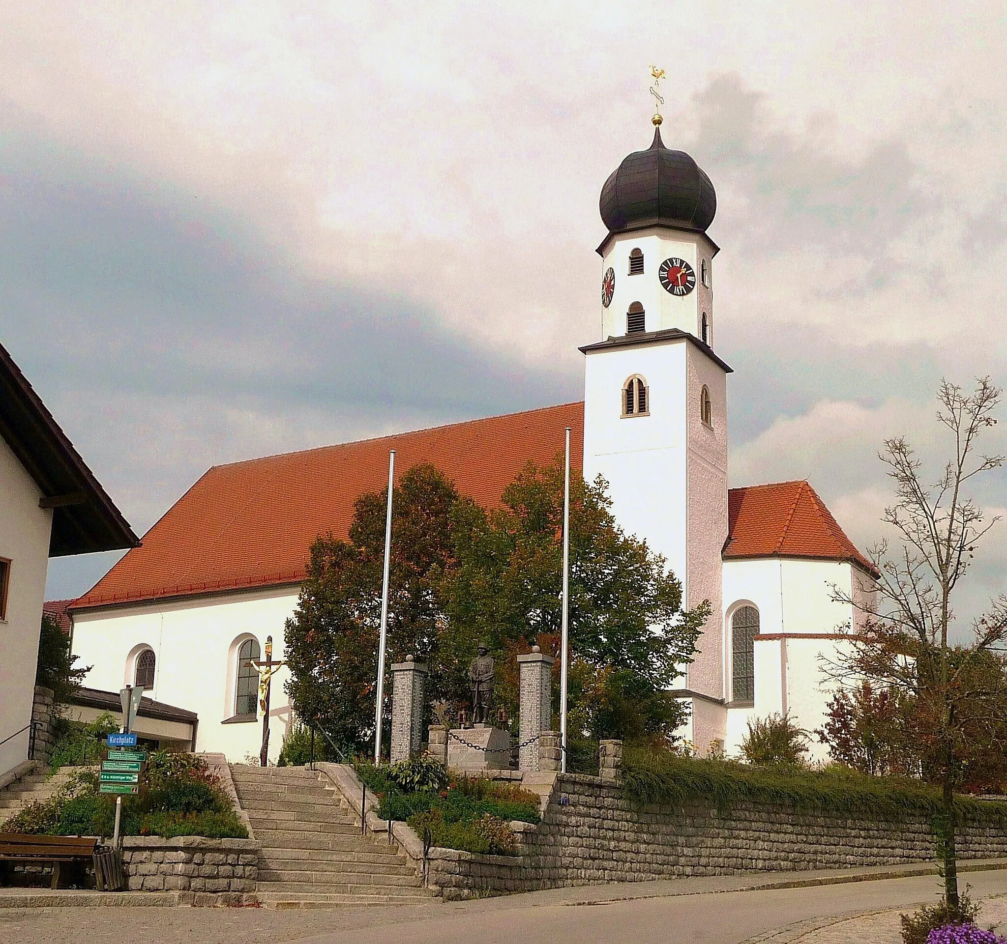
ElisabethszellVillageEmbark on a journey through history as you pass the quaint village of Elisabethszell, known for its well-preserved medieval buildings and charming narrow streets.
34 km
34 km
Blumerberg684 mPeakPrepare yourself for a thrilling downhill section as you descend from the summit of Blumerberg. Feel the adrenaline rush as you navigate the winding roads and revel in the pure joy of cycling.
47 km
47 km
ZandtVillageThe town of Zandt welcomes you with open arms and offers a delightful blend of culture and natural beauty. Explore the historic landmarks and immerse yourself in the rich heritage of this enchanting place.
52 km
52 km
Finish: Miltach Village centerMiltach: Relaxing cycling in the idyllic countryside of Miltach, Germany
Cycling routes nearby: