Miltach Route
A road cycling route starting from Miltach
Breathtaking Scenic Adventure
Map
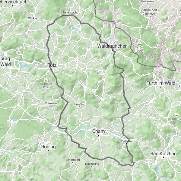
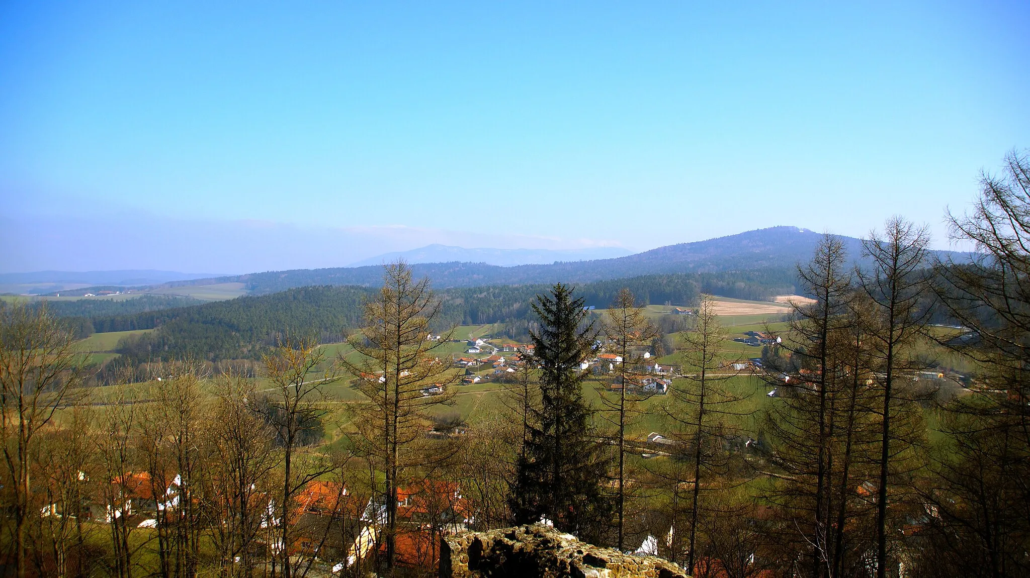
The Miltach Route is a 99-kilometer road cycling route with a total ascent of 1353 meters. This route takes cyclists through picturesque landscapes, charming towns, and scenic routes. With numerous highlights along the way, including the quaint village of Zandt, the historic Lindenberg, and the beautiful Rötz, this route offers an unforgettable journey. It is suitable for well-trained amateurs and offers stunning views and cultural experiences. This route receives an epicness rating of 4 out of 5, making it a must-ride for cycling enthusiasts.
road
99 km
1353 m
Tough
Route profile
Highlights on the route
0 km
0 km
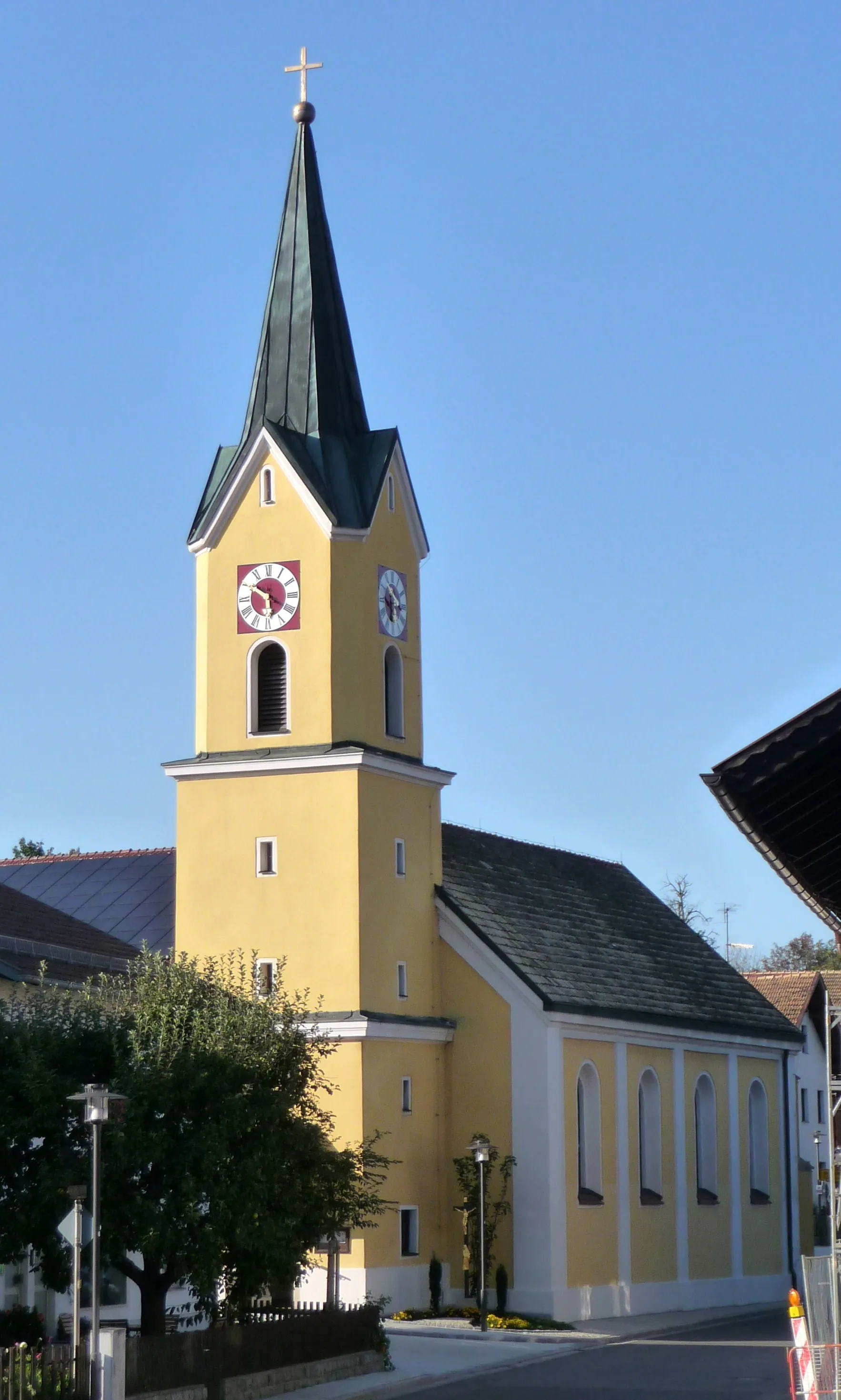
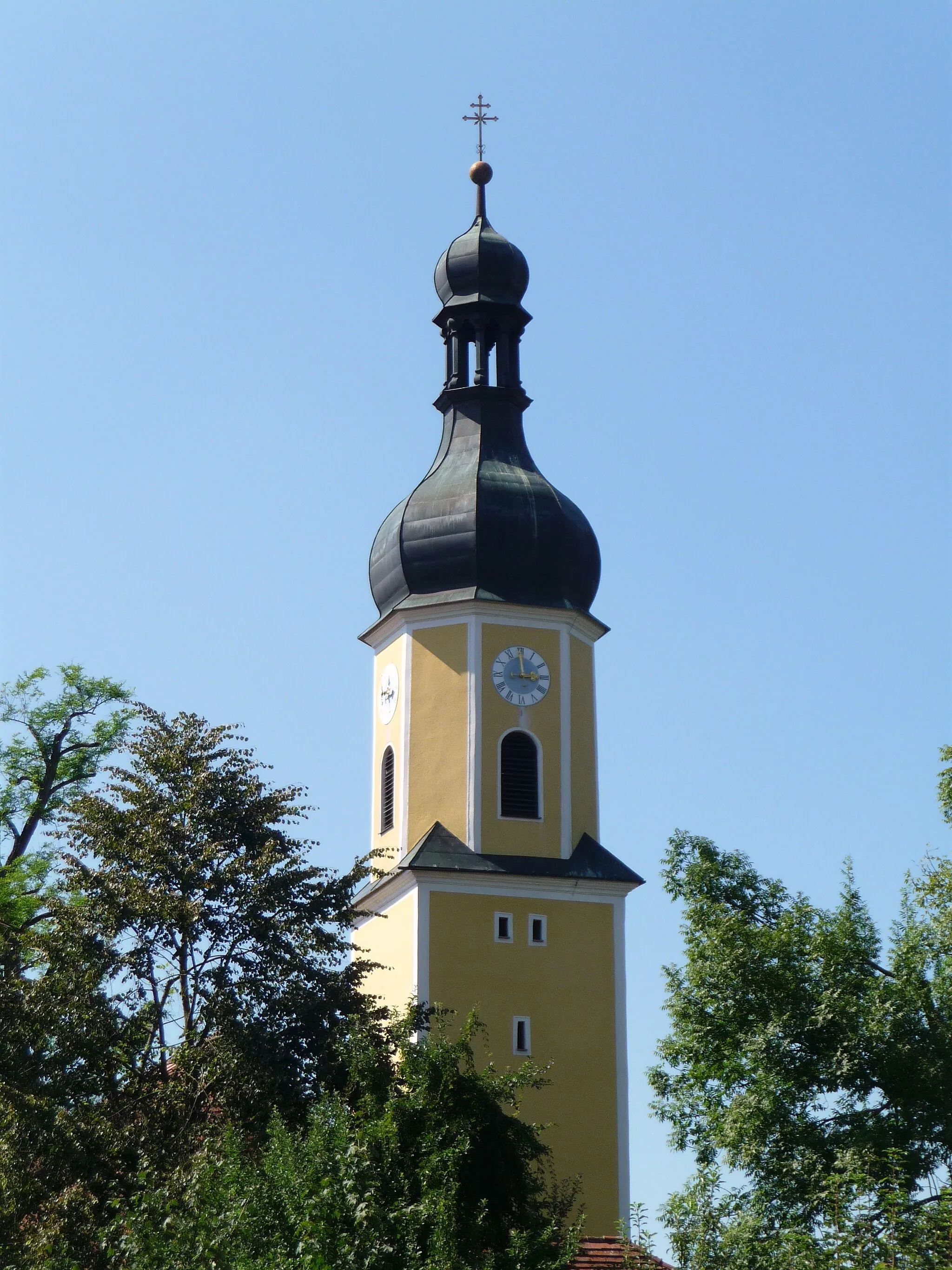
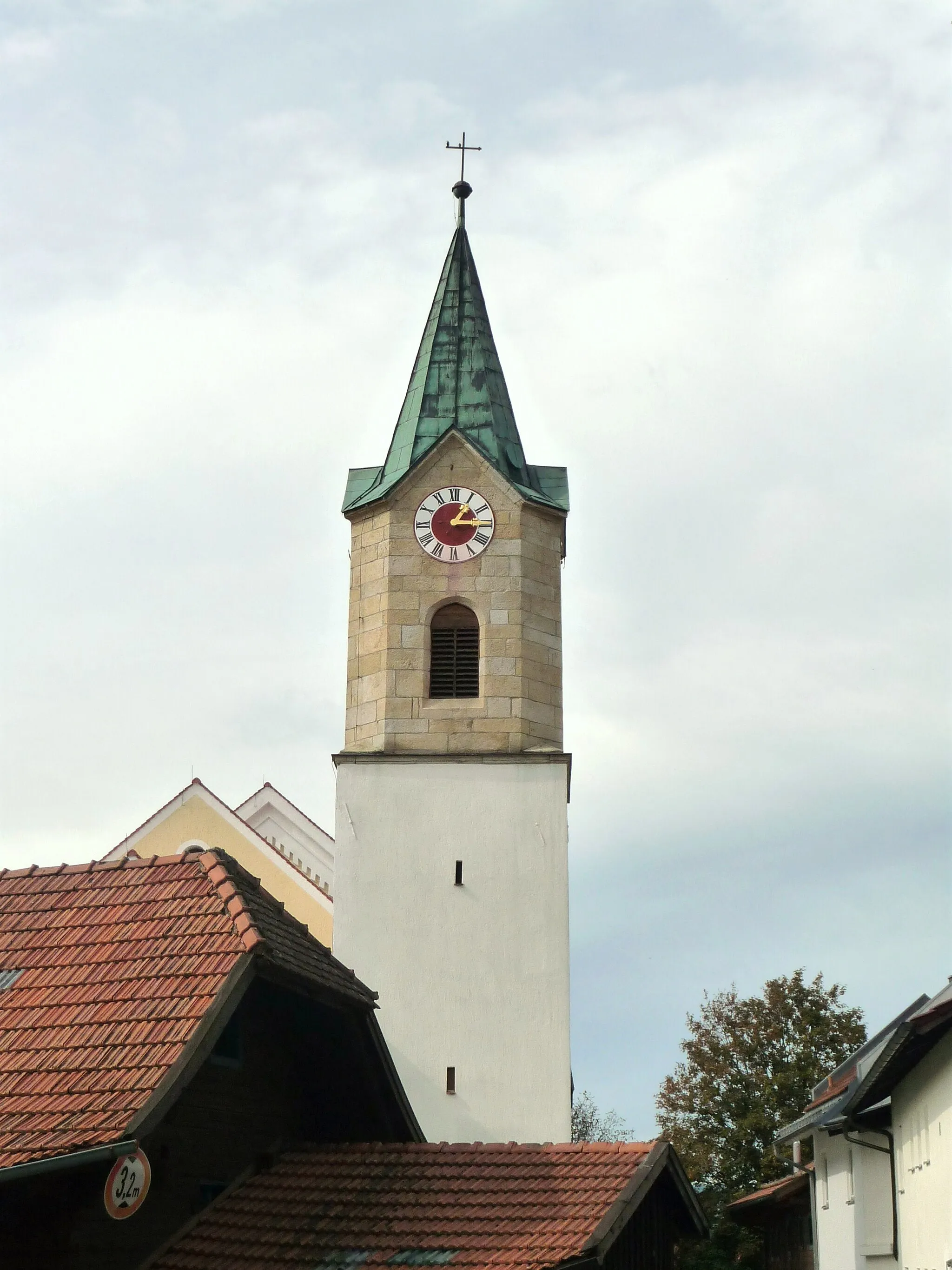
Start: Miltach Village centerMiltach: Relaxing cycling in the idyllic countryside of Miltach, Germany
Miltach is a locality located in the Oberpfalz region of Germany. From a cyclist's perspective, Miltach offers quaint rural roads and scenic landscapes, making it a pleasant destination for leisurely rides. The terrain is mostly flat, with occasional gentle slopes, suitable for cyclists of all skill levels. While there are no famous cycling-related spots or climbs nearby, you can explore the charming town and visit historical sights such as the Saint Andrew Church. Overall, Miltach provides a quiet and enjoyable locality for cyclists seeking a peaceful rural cycling experience.3 km
3 km
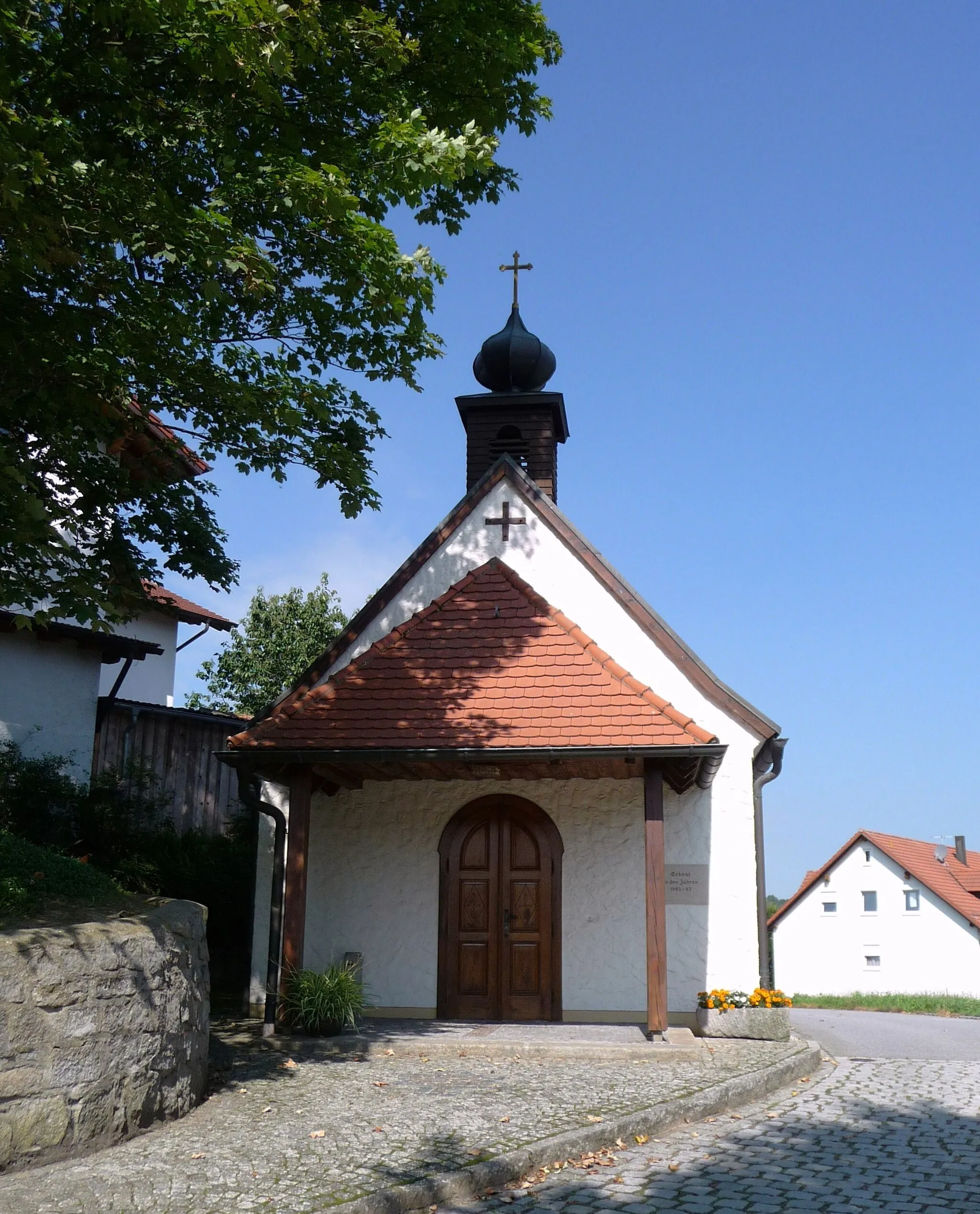
ZandtVillageVisit the charming village of Zandt and explore its historic landmarks.
14 km
14 km
Lindenberg416 mPeakDiscover Lindenberg's rich history and enjoy panoramic views from its vantage points.
29 km
29 km
Kettenberg506 mPeakKettenberg's medieval castle ruins offer a glimpse into the region's history.
39 km
39 km
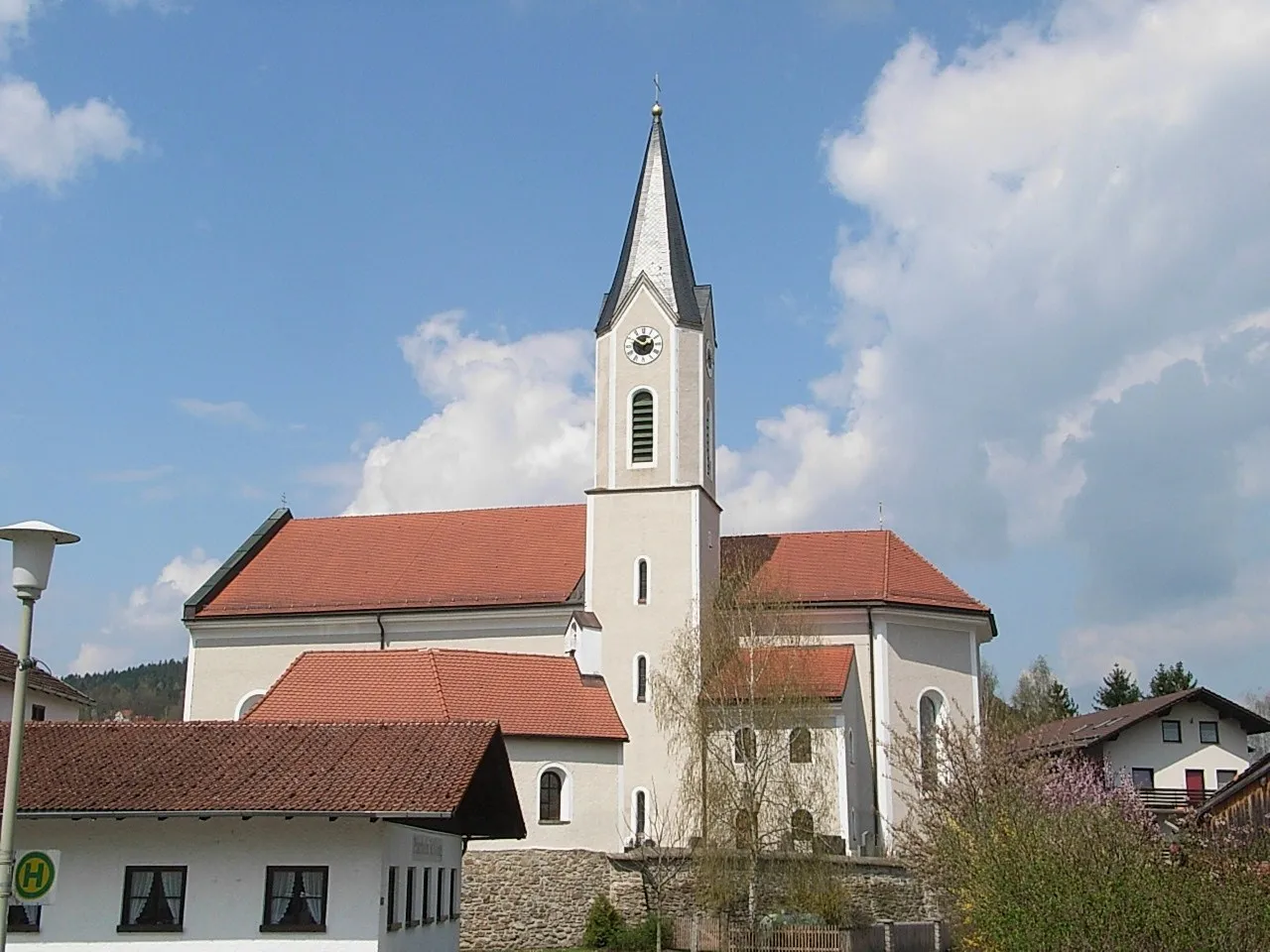
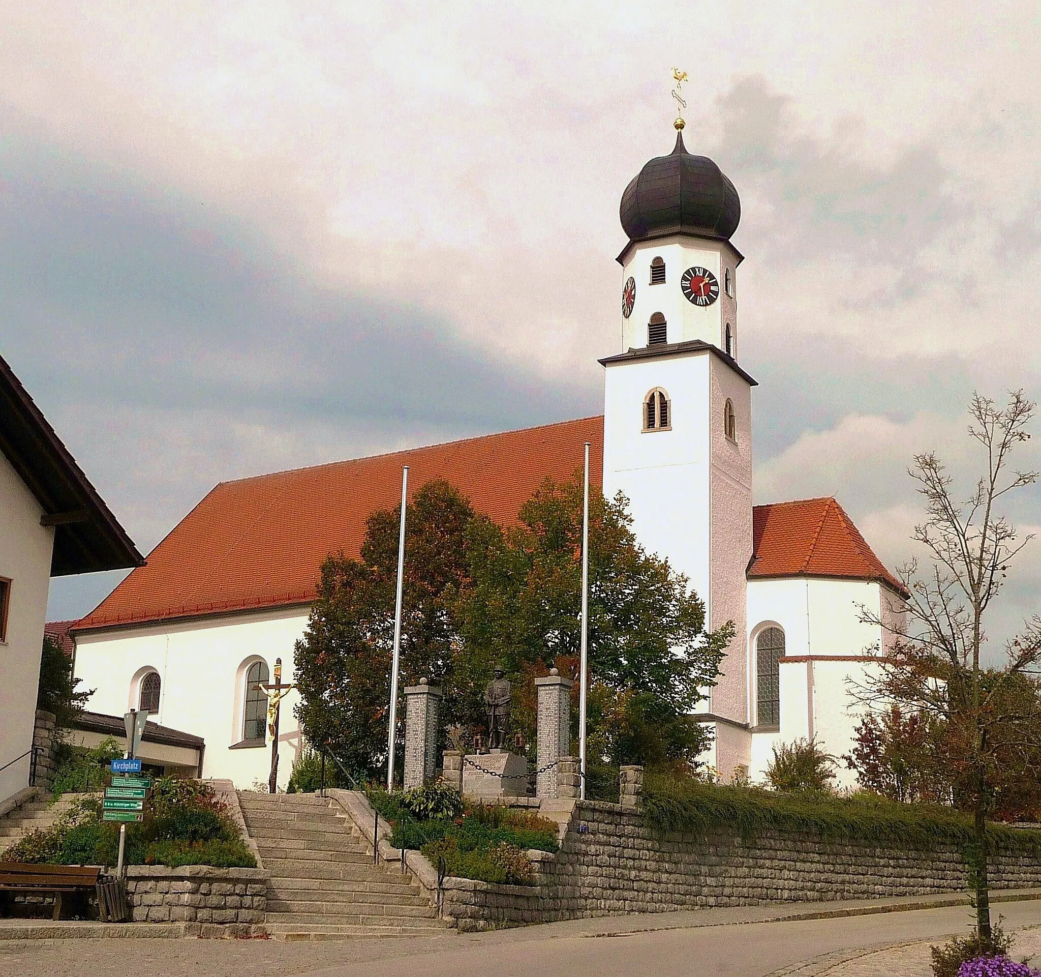
RötzTownExplore the picturesque town of Rötz and its impressive castle.
51 km
51 km
Altenschneeberg765 mPeakAdmire the stunning natural landscapes surrounding Altenschneeberg.
57 km
57 km
TreffelsteinVillageExperience the tranquility of Treffelstein and enjoy the idyllic countryside views.
67 km
67 km
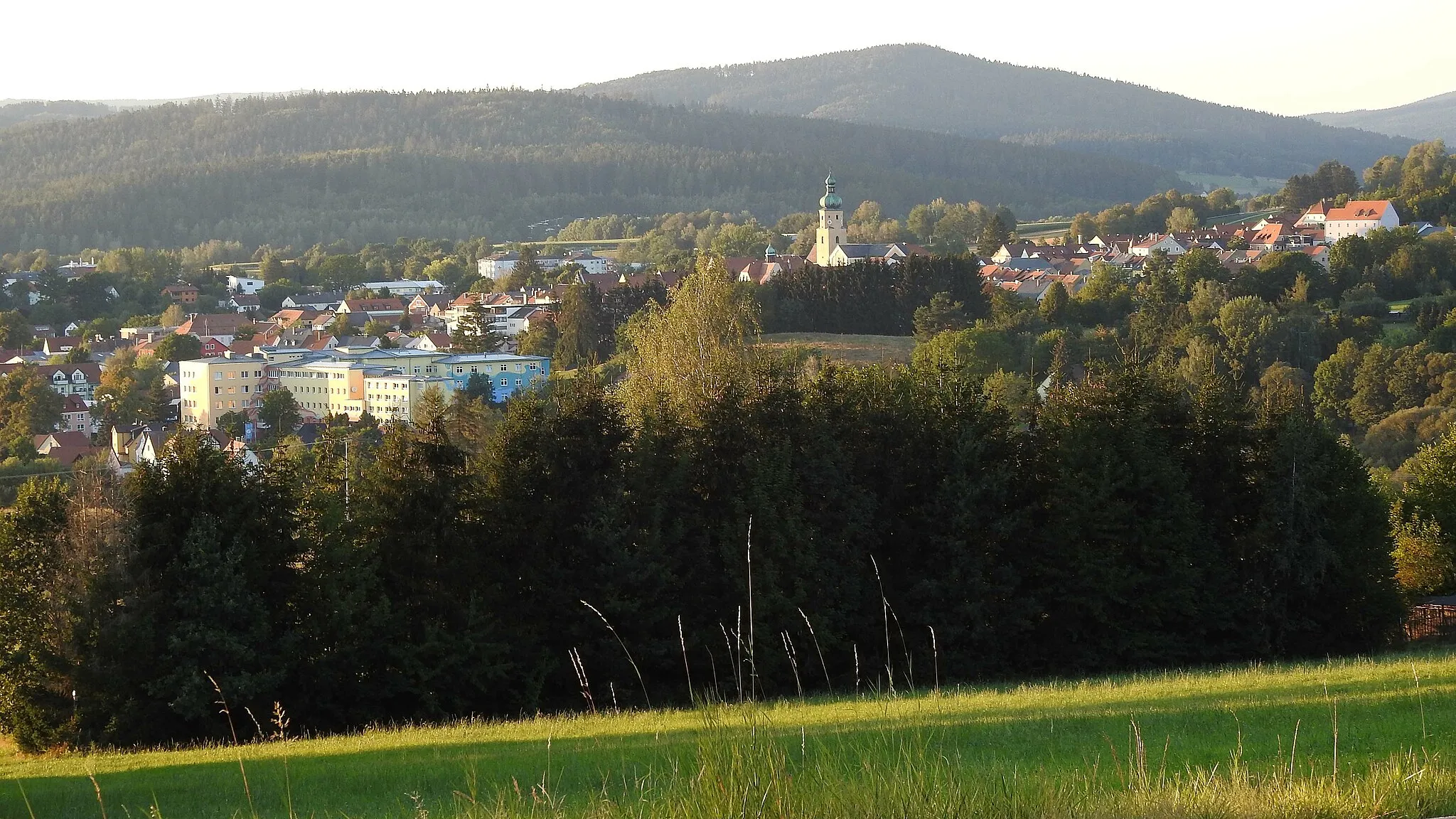
WaldmünchenTownWaldmünchen is home to an impressive open-air museum and charming town center.
75 km
75 km
Gleißenberg531 mPeakGleißenberg offers a peaceful getaway with beautiful hiking trails.
86 km
86 km
Feuerstein413 mPeakFeuerstein features delightful nature spots and a tranquil atmosphere.
93 km
93 km
ChamerauVillageChamerau boasts beautiful water landscapes and recreational activities for nature lovers.
99 km
99 km
Finish: Miltach Village centerMiltach: Relaxing cycling in the idyllic countryside of Miltach, Germany
Cycling routes nearby: