Miltach and the Surrounding Hills
A road cycling route starting from Miltach
Surround yourself with nature on this scenic cycling route near Miltach
Map
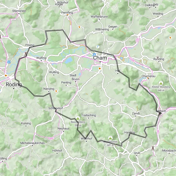
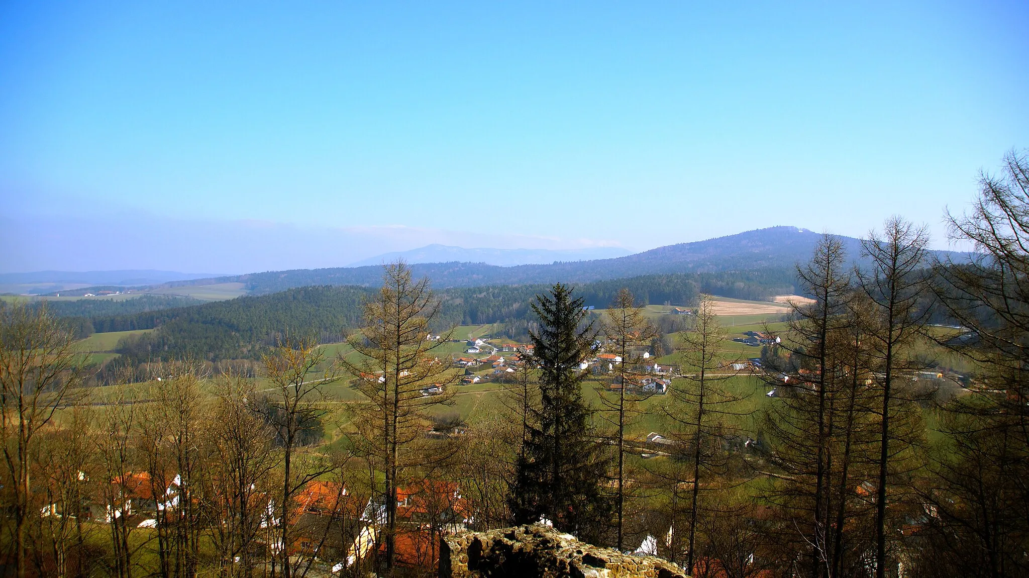
Explore the hilly landscapes around Miltach on this road cycling route. With a moderate difficulty level of 3, it offers a challenging yet rewarding experience for amateur cyclists. The scenic beauty of the Köpfelsberg and the historic Schloss Miltach are the main highlights of this ride. Dive into the heart of nature as you ride along the Rauchenberg and enjoy picturesque views of Roding and Cham. This 60 km route with 990 meters of ascent promises a memorable cycling adventure.
road
60 km
990 m
Tough
Route profile
Highlights on the route
0 km
0 km
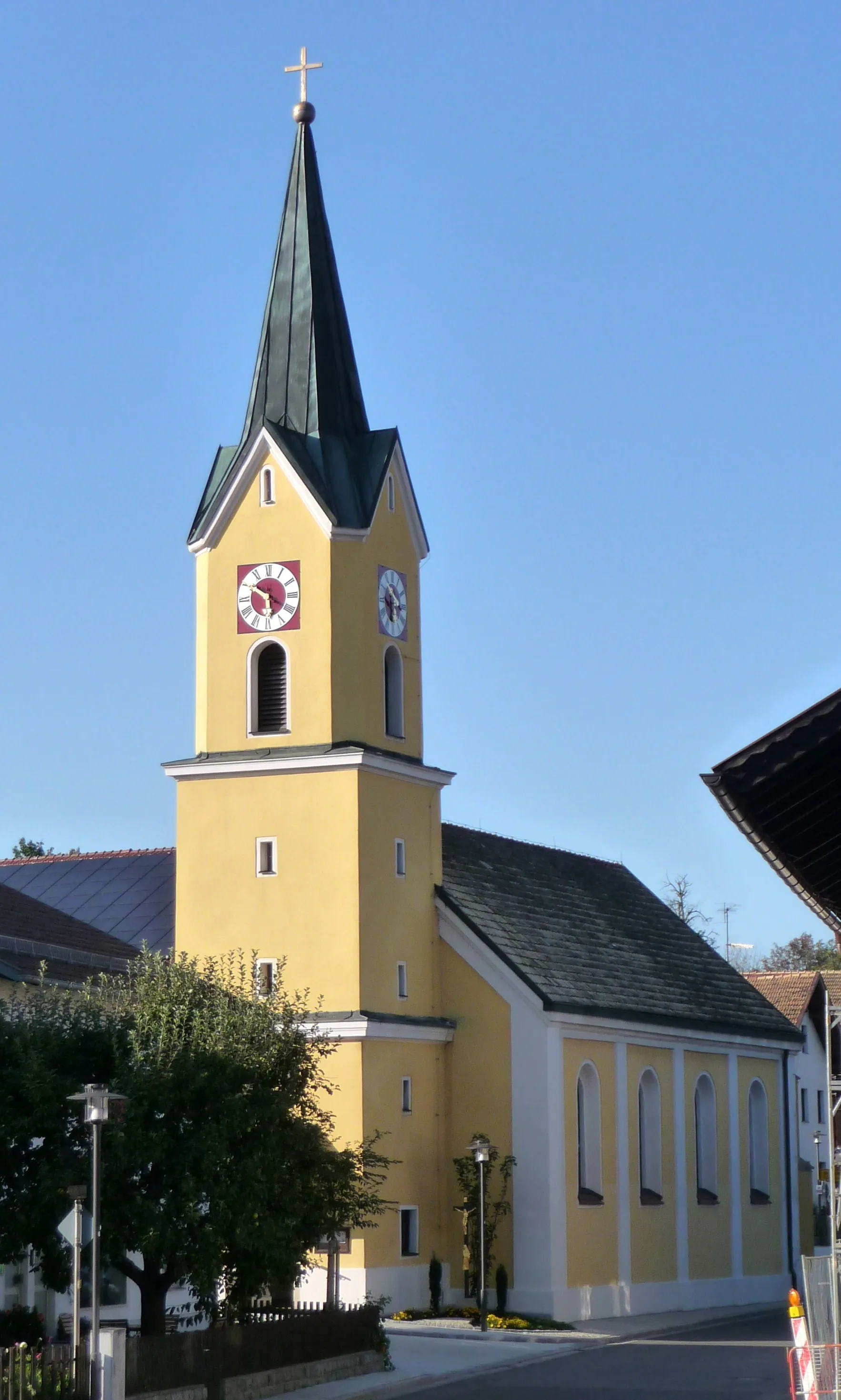
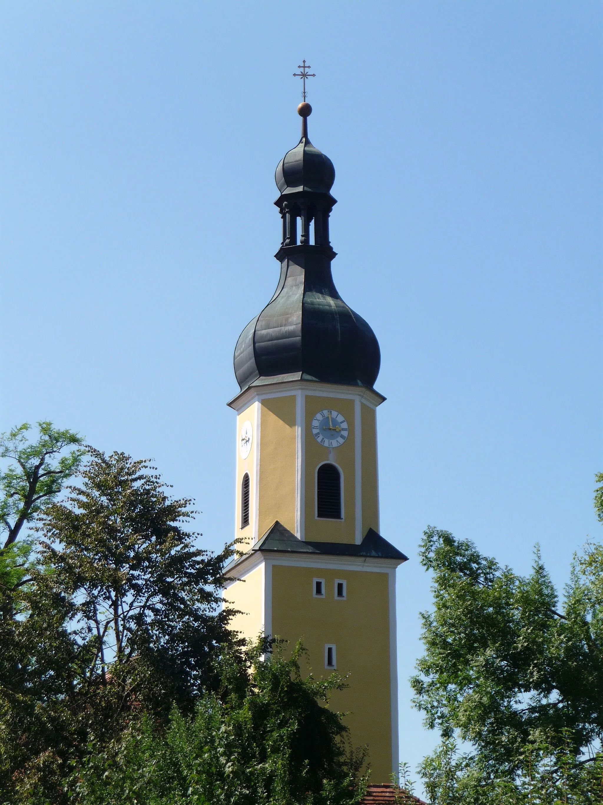
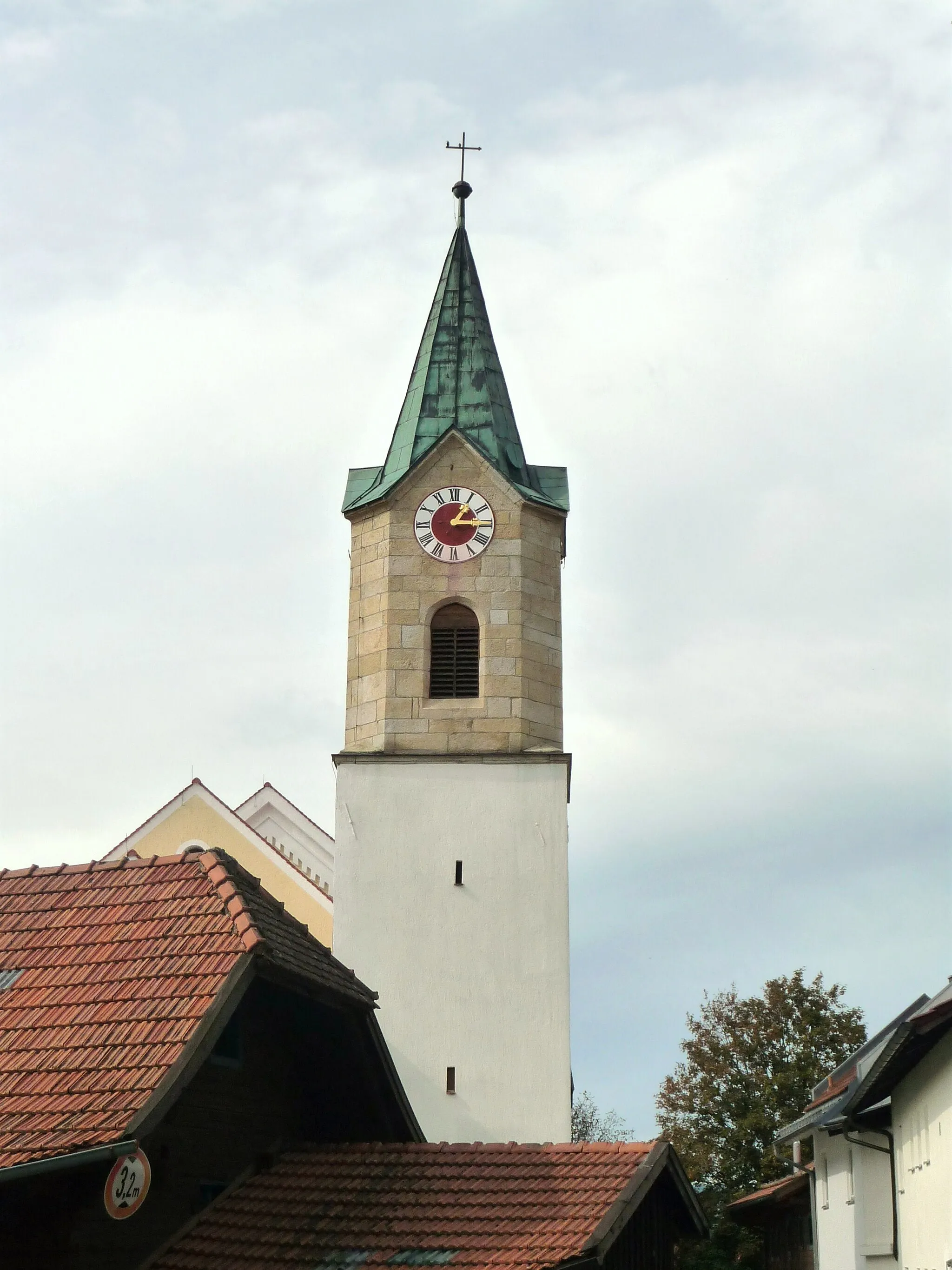
Start: Miltach Village centerMiltach: Relaxing cycling in the idyllic countryside of Miltach, Germany
Miltach is a locality located in the Oberpfalz region of Germany. From a cyclist's perspective, Miltach offers quaint rural roads and scenic landscapes, making it a pleasant destination for leisurely rides. The terrain is mostly flat, with occasional gentle slopes, suitable for cyclists of all skill levels. While there are no famous cycling-related spots or climbs nearby, you can explore the charming town and visit historical sights such as the Saint Andrew Church. Overall, Miltach provides a quiet and enjoyable locality for cyclists seeking a peaceful rural cycling experience.10 km
10 km
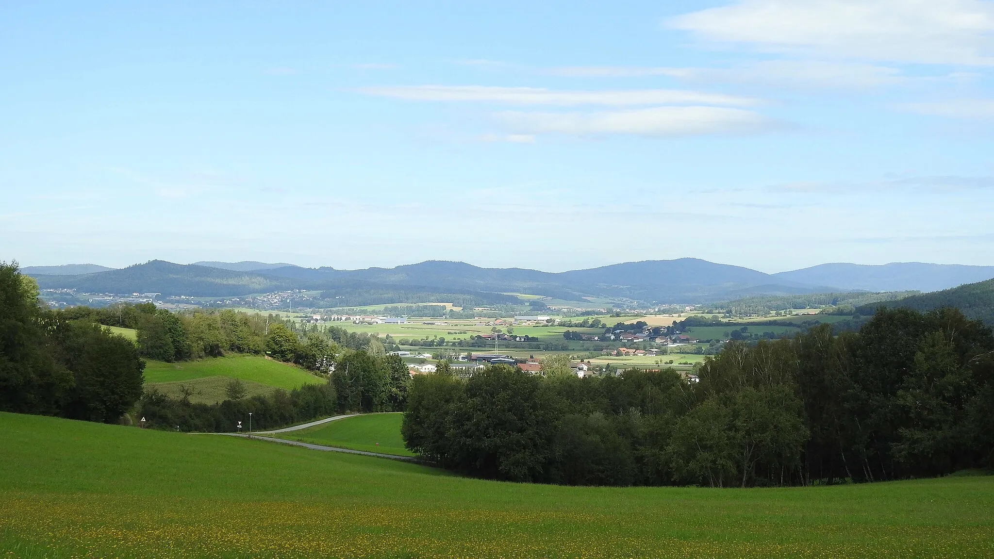
Köpfelsberg671 mPeakKöpfelsberg offers stunning panoramic views of the surrounding landscapes.
11 km
11 km
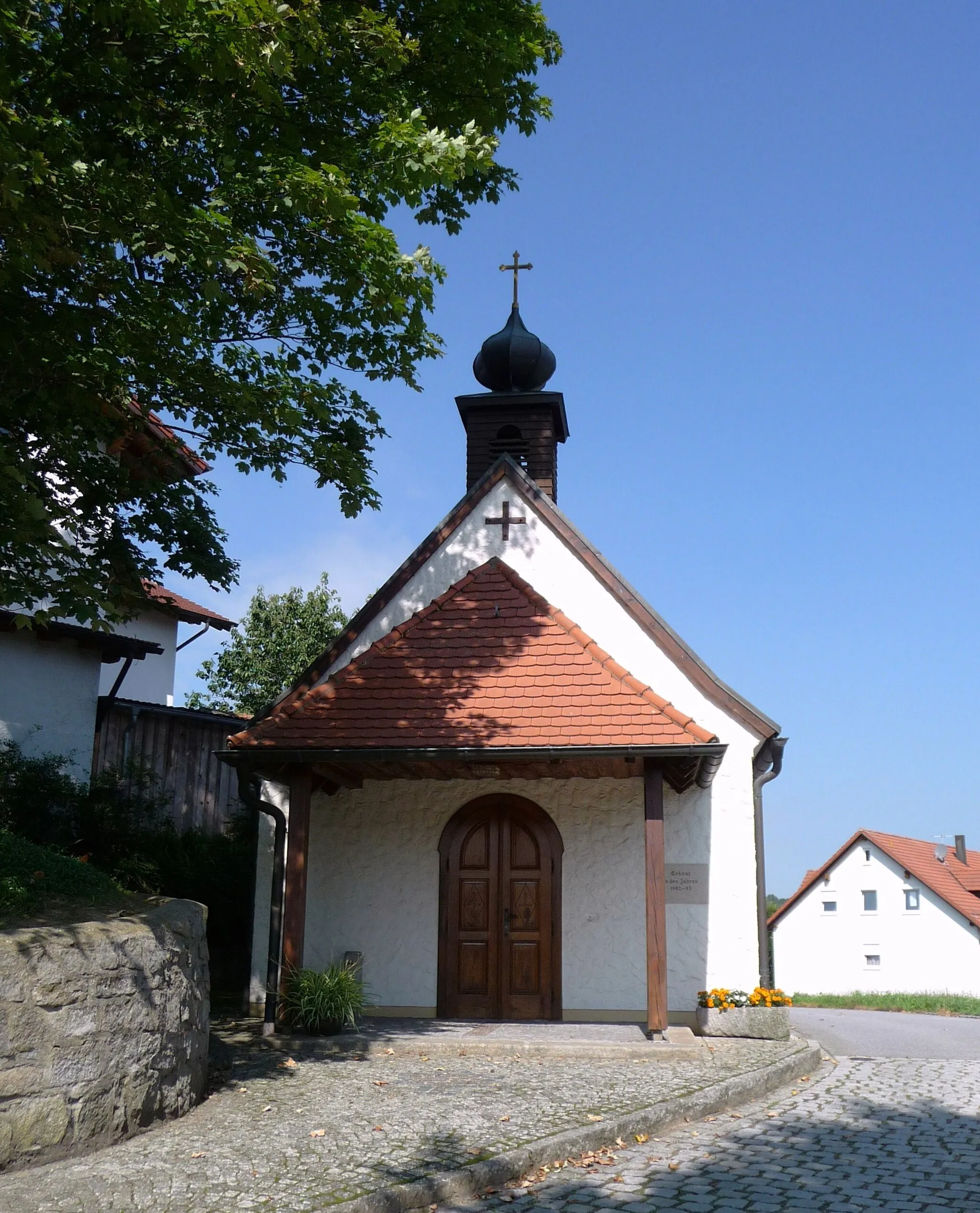
SattelpeilnsteinVillageSattelpeilnstein provides a challenging climb and rewards you with breathtaking valleys.
18 km
18 km
Rauchenberg599 mPeakRauchenberg offers a peaceful and serene environment for a picnic or rest stop.
28 km
28 km
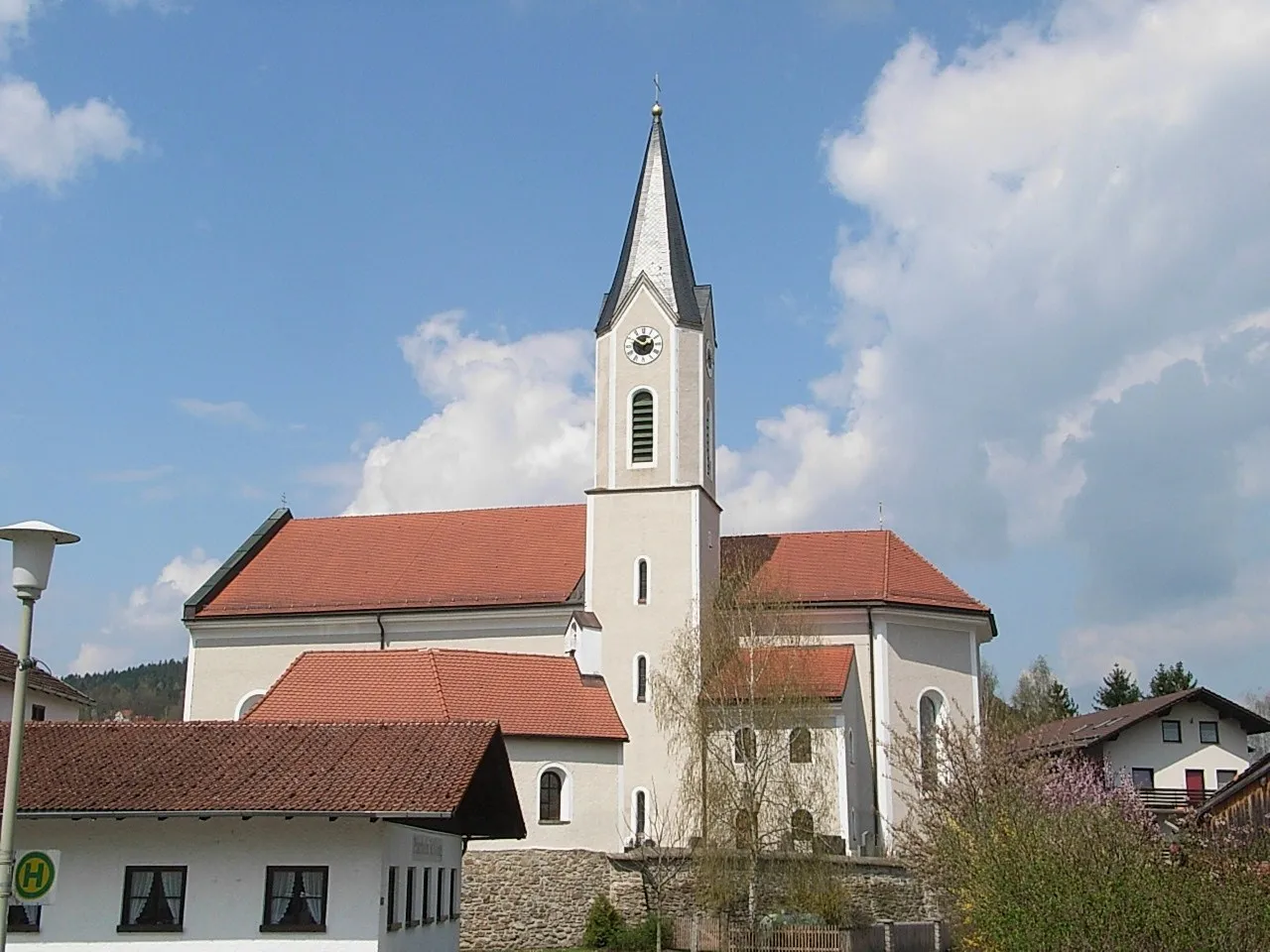
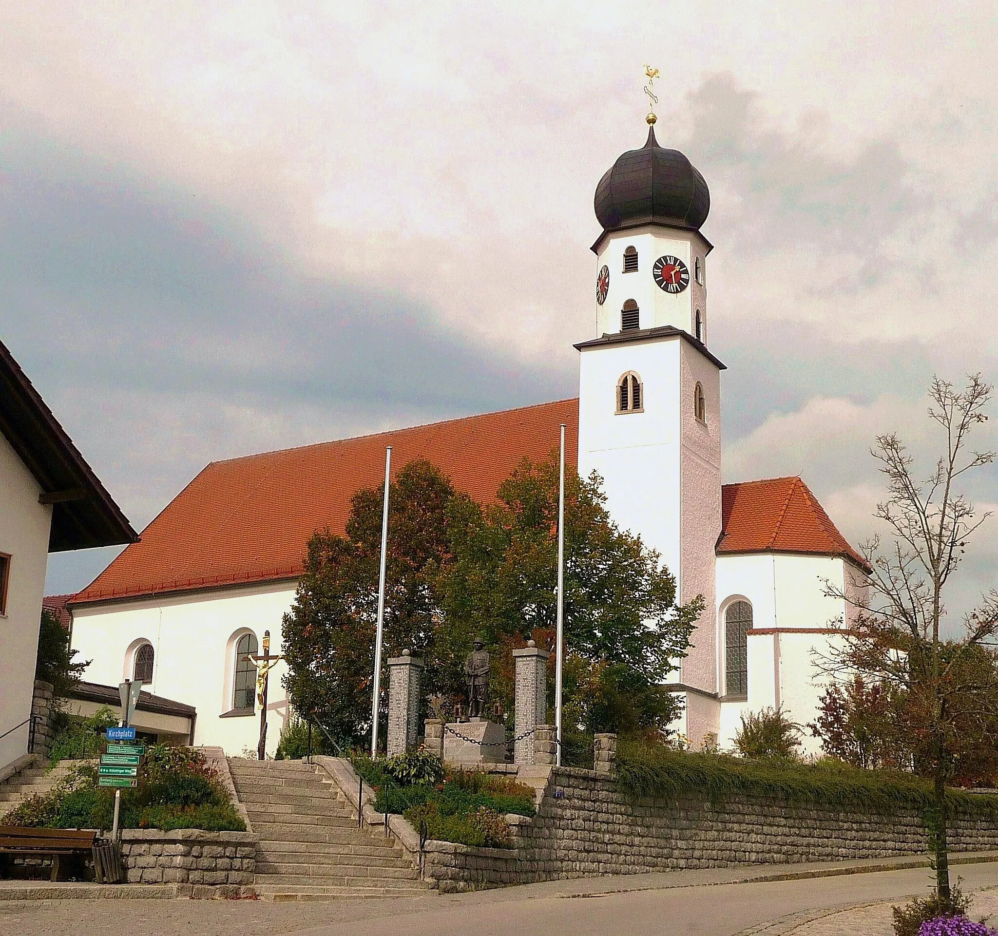
RodingTownWhile passing through Roding, enjoy beautiful riverside views and explore the town's historic center.
39 km
39 km
Mühlbühl403 mPeakMühlbühl is known for its charming traditional Bavarian architecture and delightful cultural heritage.
47 km
47 km
ChamTownCham is a charming town located along the Regen River, offering a mix of historical architecture and natural beauty.
52 km
52 km
Lamberg602 mPeakLamberg Castle, located near Roding, showcases impressive medieval architecture and offers panoramic views of the surrounding valleys.
60 km
60 km
Schloss MiltachCastleSchloss Miltach is a magnificent castle in the heart of Miltach, giving you a glimpse into the region's rich history and culture.
60 km
60 km
Finish: Miltach Village centerMiltach: Relaxing cycling in the idyllic countryside of Miltach, Germany
Cycling routes nearby: