![Cover image](https://images.tarmacs.app/cycling-routes/photos/france/rhone-alpes/6945847780/rontalon-4.webp)
Chaponost Loop
A road cycling route starting from Pollionnay
A challenging road ride through beautiful countryside
![Map miniature of "Chaponost Loop" cycling inspiration in Rhône-Alpes, France. Generated by Tarmacs.app cycling route planner](https://images.tarmacs.app/cycling-routes/routemaps/600/france/rhone-alpes/pollionnay/road/366585.webp)
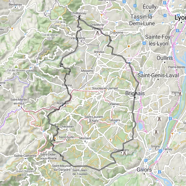
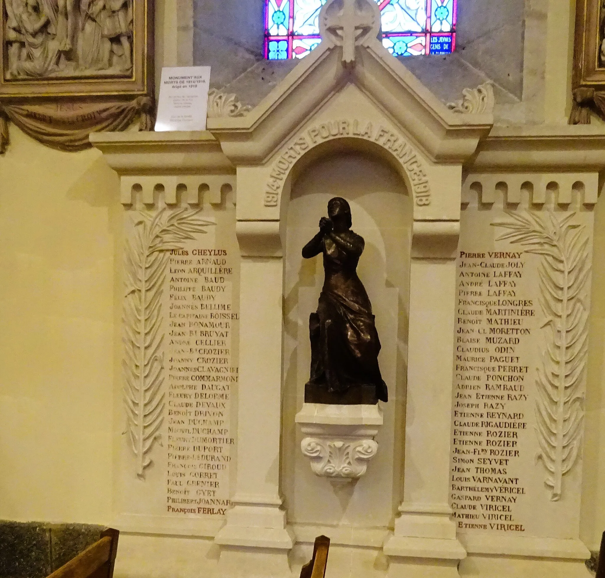
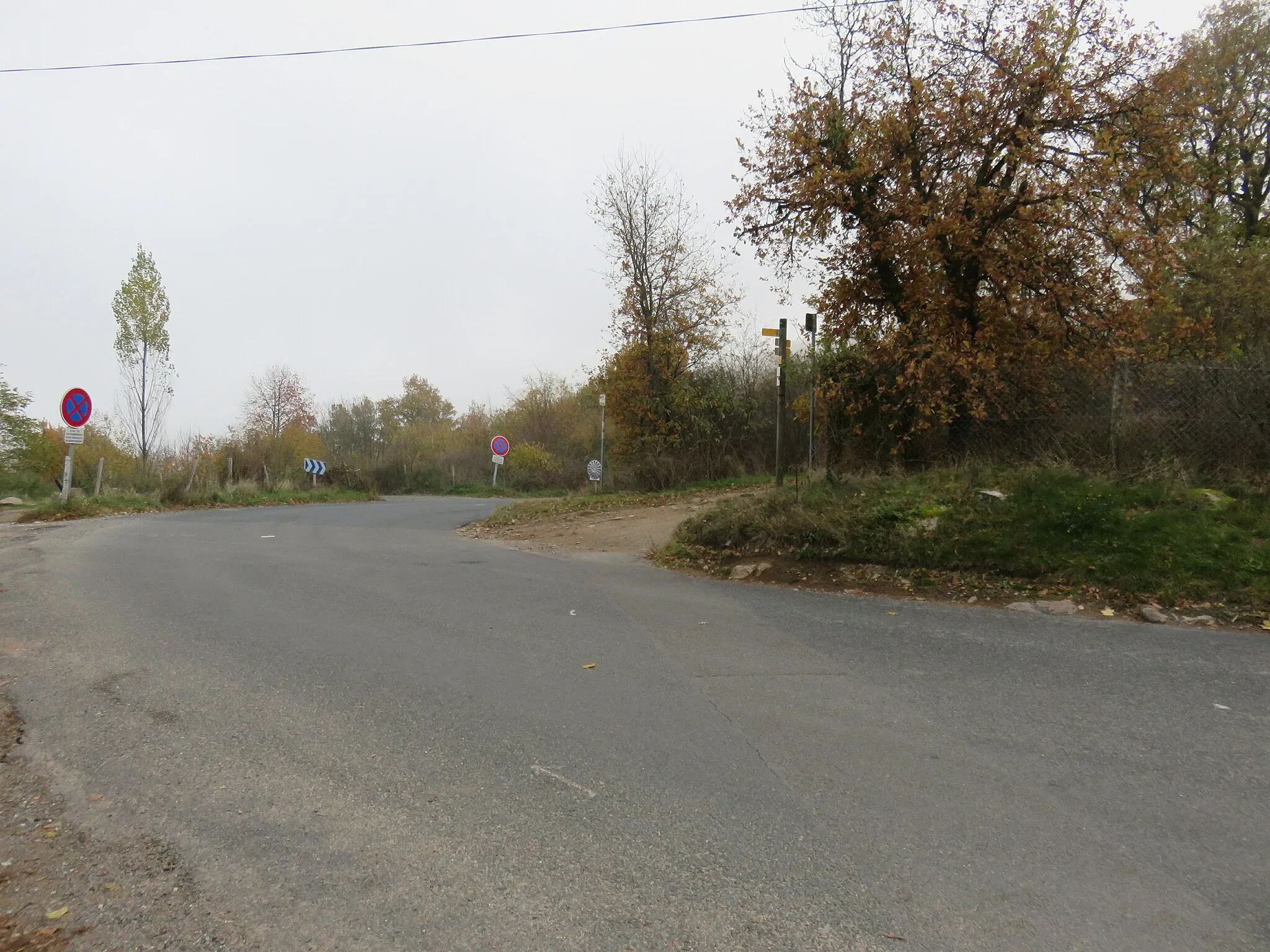
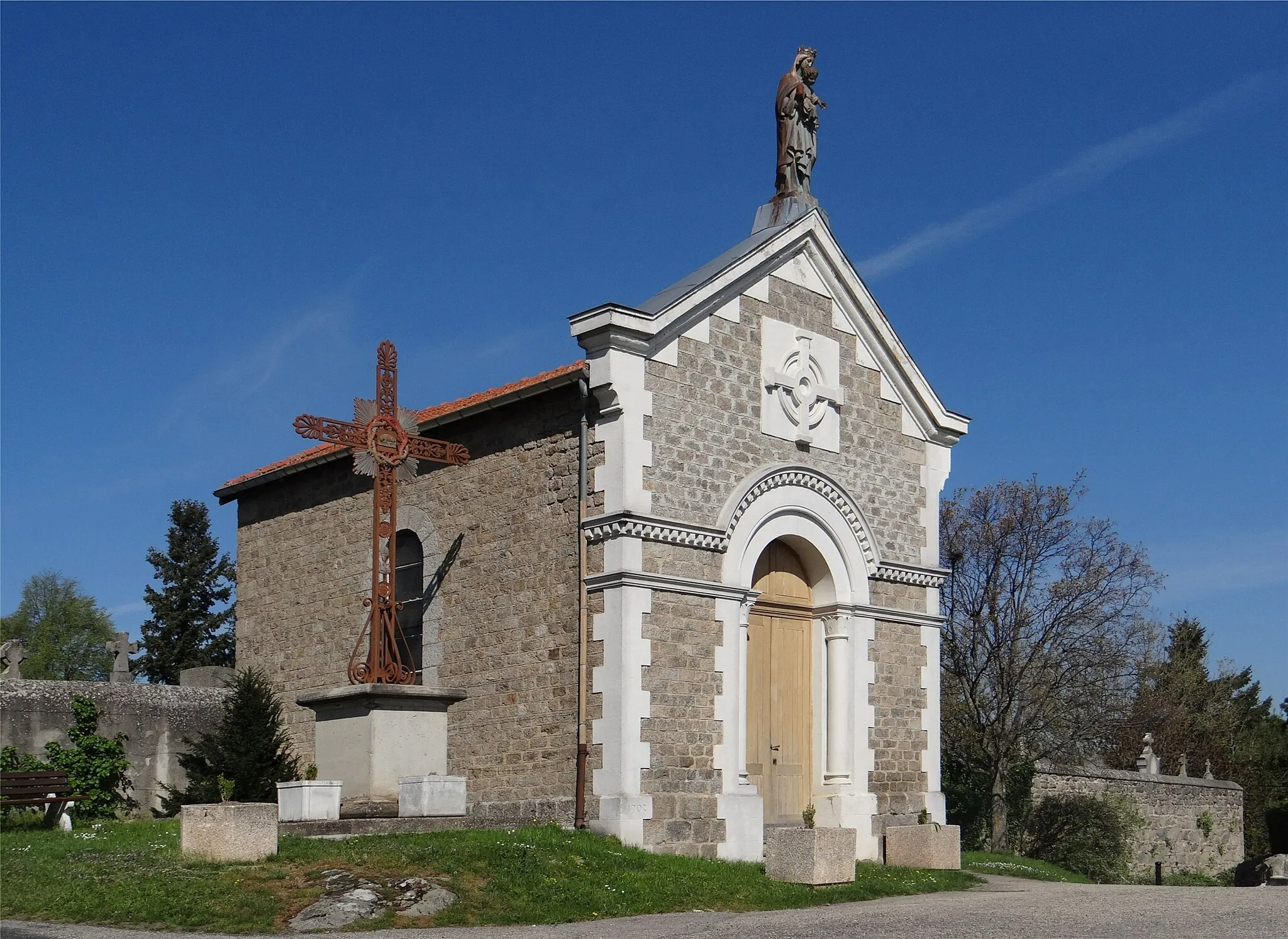
The Chaponost Loop is a challenging road cycling route that takes you through the stunning countryside near Pollionnay. With a total distance of 68 km and an ascent of 1298 m, this route is suitable for experienced cyclists looking for a rewarding challenge. The route begins in Pollionnay before making its way to Chaponost, a charming village with picturesque views. As you ride through Montagny, Saint-Andéol-le-Château, and Rontalon, you'll be treated to spectacular landscapes and panoramic vistas. One of the highlights of this route is the climb to Crêt de Piralougnon, offering stunning views of the surrounding countryside. Overall, the Chaponost Loop is a scenic and physically demanding ride for those seeking a memorable cycling experience.
Highlights on the route
Cycling routes from Pollionnay:
Cycling routes nearby:
![Image of Sainte-Consorce](https://images.tarmacs.app/cycling-routes/covers/france/rhone-alpes/sainte-consorce-5.webp)
![Image of Grézieu-la-Varenne](https://images.tarmacs.app/cycling-routes/covers/france/rhone-alpes/grezieu-la-varenne-4.webp)
![Image of Vaugneray](https://images.tarmacs.app/cycling-routes/covers/france/rhone-alpes/vaugneray-4.webp)
![Image of Saint-Pierre-la-Palud](https://images.tarmacs.app/cycling-routes/covers/france/rhone-alpes/saint-pierre-la-palud-5.webp)
![Image of Saint-Genis-les-Ollières](https://images.tarmacs.app/cycling-routes/covers/france/rhone-alpes/saint-genis-les-ollieres-5.webp)
![Image of Craponne](https://images.tarmacs.app/cycling-routes/covers/france/rhone-alpes/craponne-4.webp)
![Image of Brindas](https://images.tarmacs.app/cycling-routes/covers/france/rhone-alpes/brindas-4.webp)
![Image of Sourcieux-les-Mines](https://images.tarmacs.app/cycling-routes/covers/france/rhone-alpes/sourcieux-les-mines-5.webp)
![Image of Lentilly](https://images.tarmacs.app/cycling-routes/covers/france/rhone-alpes/lentilly-5.webp)