Châtillon to La Rapaudière Loop
A road cycling route starting from Pollionnay
A scenic road ride with beautiful vistas
Map

The Châtillon to La Rapaudière Loop is a scenic road cycling route that takes you through the picturesque countryside near Pollionnay. With a total distance of 90 km and an ascent of 1198 m, this route is suitable for experienced cyclists looking for a beautiful and challenging ride. The route starts in Châtillon and takes you through Gleizé, Parcieux, Mont Thou, and Caborne Enfouie, offering stunning views and diverse landscapes. As you continue on your journey, you'll pass by Charbonnières-les-Bains and La Rapaudière, two highlights that offer breathtaking vistas and scenic beauty. Overall, the Châtillon to La Rapaudière Loop is a visually captivating ride that showcases the natural beauty of the Rhône-Alpes region.
road
90 km
1198 m
Tough
Route profile
Highlights on the route
0 km
0 km
Start: Pollionnay Village centerPollionnay: Picturesque landscapes and close to iconic Mont Ventoux.
Pollionnay is a locality situated in the Rhône-Alpes region of France. Cyclists visiting Pollionnay can enjoy scenic rides through picturesque landscapes with rolling hills and vineyards dotting the region. The area offers a combination of quiet country roads and challenging climbs, making it suitable for road and gravel cyclists. Additionally, Pollionnay is close to the famous Mont Ventoux, a legendary climb known for its steep slopes and incredible views. With its charming countryside scenery and proximity to iconic cycling locations, Pollionnay is a great destination for cyclists.16 km
16 km
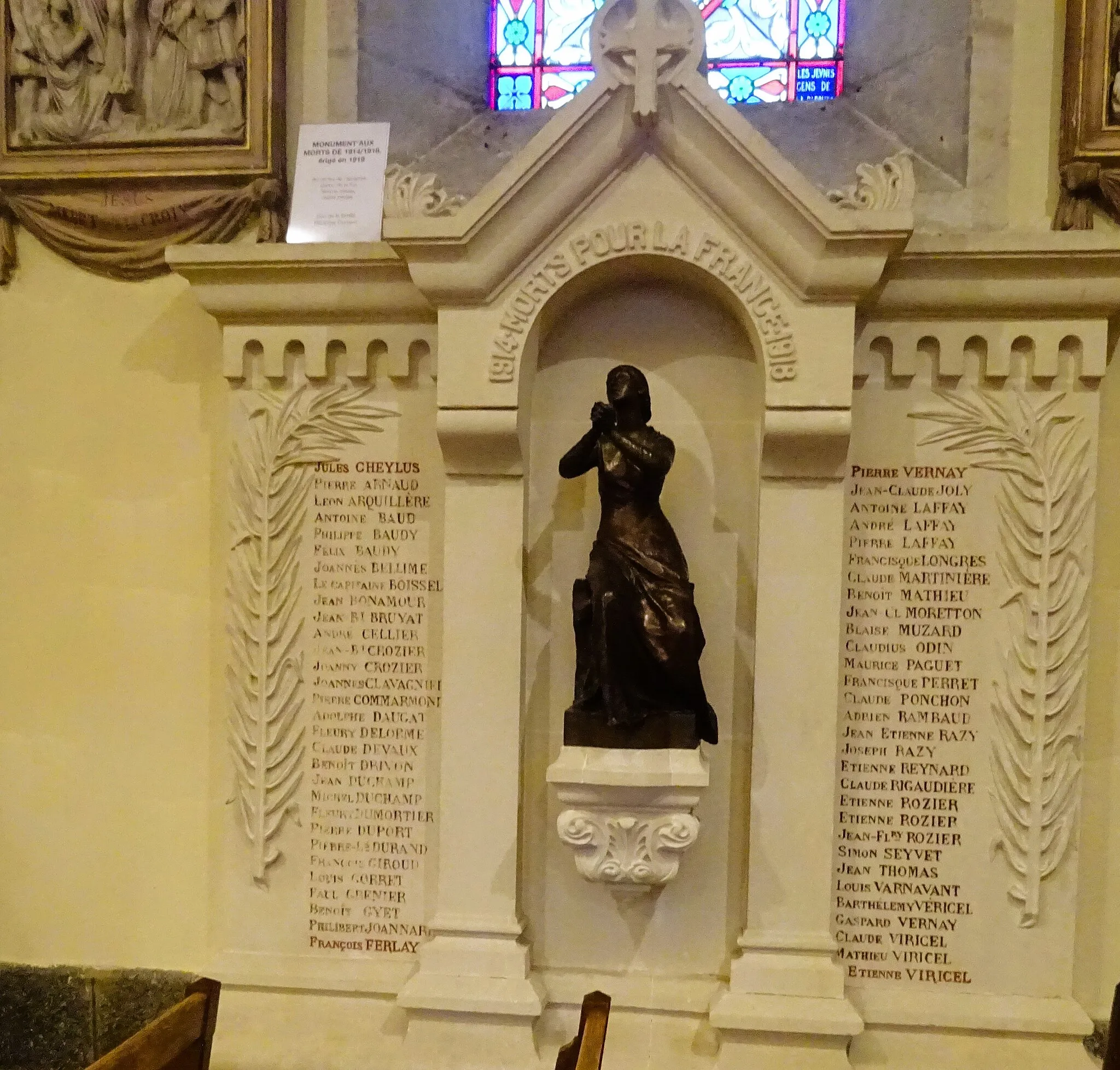
ChâtillonVillageChâtillon is a small village with a charming historic center. Take a moment to explore the narrow streets and visit the local church.
30 km
30 km
GleizéVillageGleizé is a picturesque village known for its vineyards and stunning views. Discover the local wine culture and enjoy the panoramic vistas.
54 km
54 km
ParcieuxVillageParcieux is a charming village located on the banks of the Saône River. Stop by and admire the natural beauty of this tranquil spot.
66 km
66 km
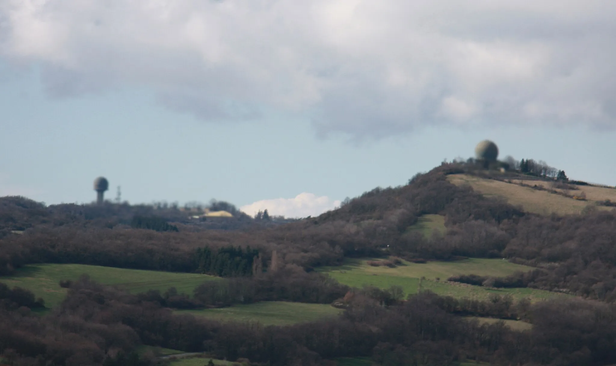
Mont Thou609 mPeakMont Thou is a challenging climb that rewards cyclists with spectacular views of the surrounding countryside. Pause at the top and take in the breathtaking vistas.
68 km
68 km
Caborne EnfouieAttractionCaborne Enfouie is a natural limestone cave formation that offers an interesting geological site. Take a moment to explore this unique landscape.
80 km
80 km
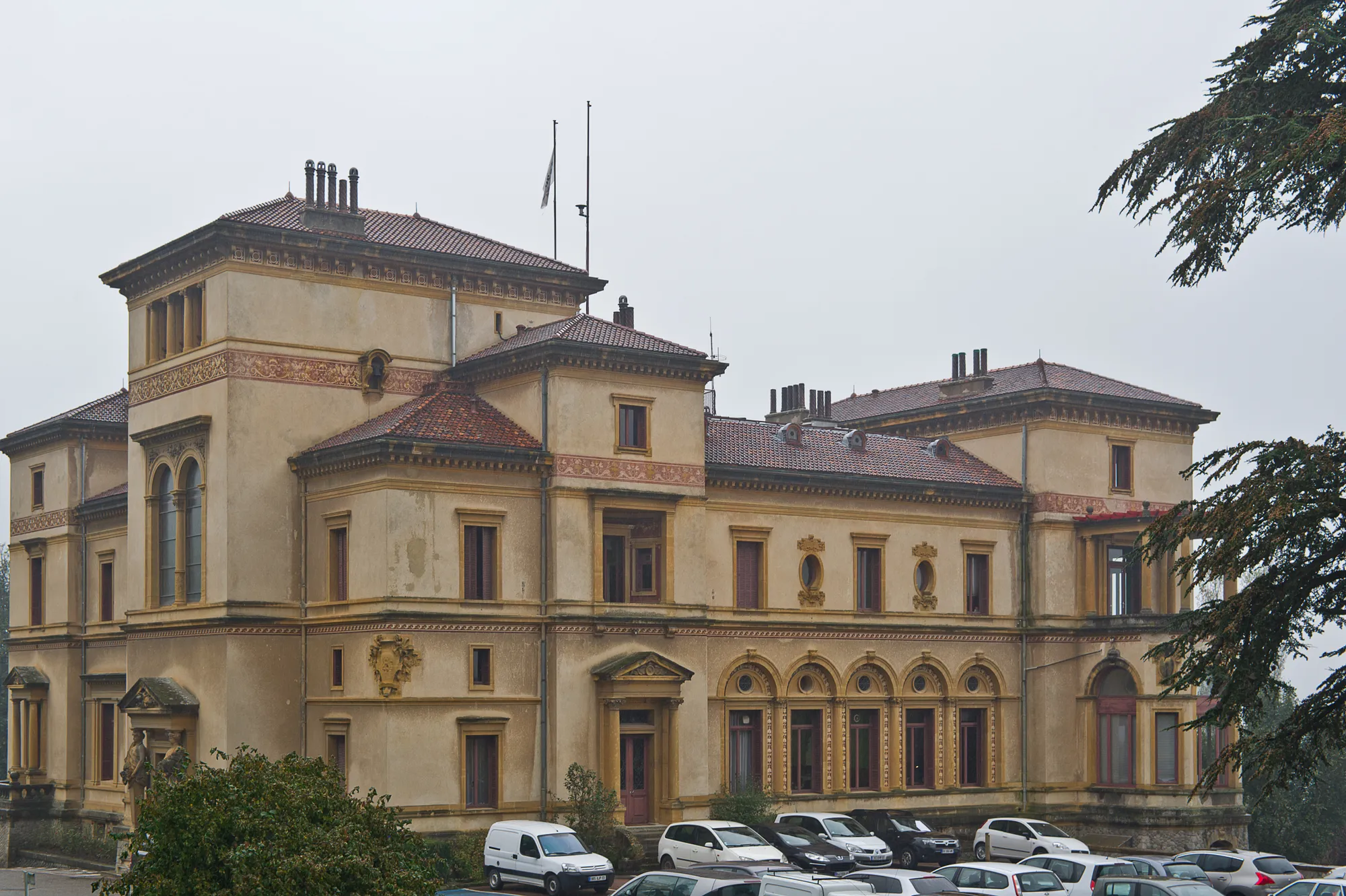
Charbonnières-les-BainsVillageCharbonnières-les-Bains is a spa town known for its thermal waters. Enjoy a relaxing break and immerse yourself in the peaceful atmosphere.
87 km
87 km
La RapaudièreHamletLa Rapaudière is a small hamlet nestled in the hills of the Rhône-Alpes region. Visit the local church and soak in the tranquil ambiance.
90 km
90 km
Finish: Pollionnay Village centerPollionnay: Picturesque landscapes and close to iconic Mont Ventoux.
Cycling routes from Pollionnay:
From Pollionnay to Montanay Gravel Adventure to La Poizatière Gravel Adventure to Château de Sain-Bel Countryside Exploration to Craponne Grueling Gravel Adventure to Saint-Martin-en-Haut Riottier Explorer Chaponost Loop Pollionnay to Saint-Genis-les-Ollières Loop Scenic Loop to Saint-Bonnet-le-Froid Châtillon to La Rapaudière Loop
Cycling routes nearby: