Vaugneray Gravel Adventure Route
A gravel cycling route starting from Vaugneray
Embark on an gravel adventure through the stunning Vaugneray region
Map
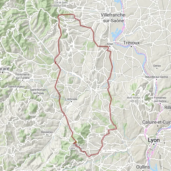
The Vaugneray Gravel Adventure is an 83-km route perfect for adventure-seekers and gravel bike enthusiasts. With a total ascent of 1,830 meters, this off-road cycling experience takes cyclists through various highlights, including Col de la Luère, Sain-Bel, Le Breuil, and Chazay-d'Azergues. The difficulty level of this route is rated 3 out of 5, suitable for moderately experienced gravel riders. With an epicness rating of 3 out of 5, this route provides an exciting and thrilling journey through the beautiful landscapes of Rhône-Alpes.
gravel
83 km
1830 m
Tough
Route profile
Highlights on the route
0 km
0 km
Start: Vaugneray Village centerVaugneray: Conquer the Legendary Climb of Monts du Lyonnais in Rhône-Alpes
Vaugneray is a commune in the Rhône-Alpes region of France that offers an engaging environment for road and gravel cyclists. The locality is renowned for being the starting point of the challenging Monts du Lyonnais climb, which attracts both professional and amateur cyclists. Vaugneray also features a mix of rolling hills and scenic country roads, creating a cyclist-friendly atmosphere for riders seeking a variety of terrain. The commune itself is quaint and picturesque, with charming architecture and historic sites to explore. With its well-known climb and scenic routes, Vaugneray is a must-visit destination for cyclists seeking challenging and rewarding rides.5 km
5 km
Col de la Luère715 mMountain PassCol de la Luère offers a challenging climb and incredible views of the surrounding mountains, promising an unforgettable gravel biking experience.
12 km
12 km
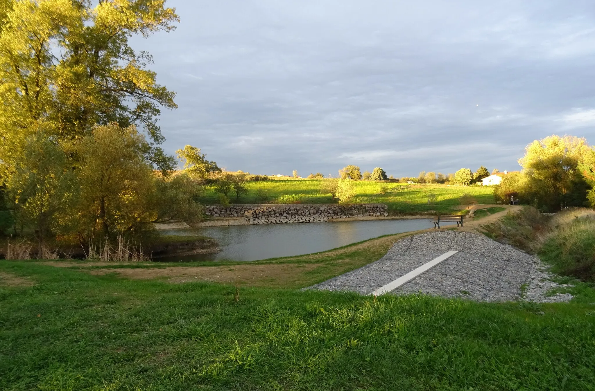
Sain-BelVillageSain-Bel is a picturesque village with charming architecture and scenic countryside, making it a perfect spot for a quick break.
23 km
23 km
Le BreuilVillageLe Breuil boasts beautiful vineyards and rolling hills, offering a serene and peaceful setting for gravel riders.
31 km
31 km
ChautardViewpointChautard provides adventurous gravel trails surrounded by lush forests, taking cyclists on a true off-road exploration.
41 km
41 km
CognyVillageCogny offers panoramic views of the Beaujolais region, known for its vineyards and wine production, making it a fitting spot for tasting local wines.
61 km
61 km
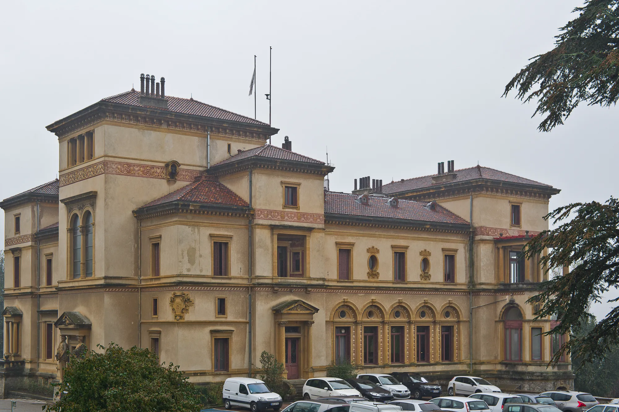
Chazay-d'AzerguesVillageChazay-d'Azergues is a charming village full of history and traditional French architecture, giving gravel riders a glimpse into the region's rich heritage.
79 km
79 km
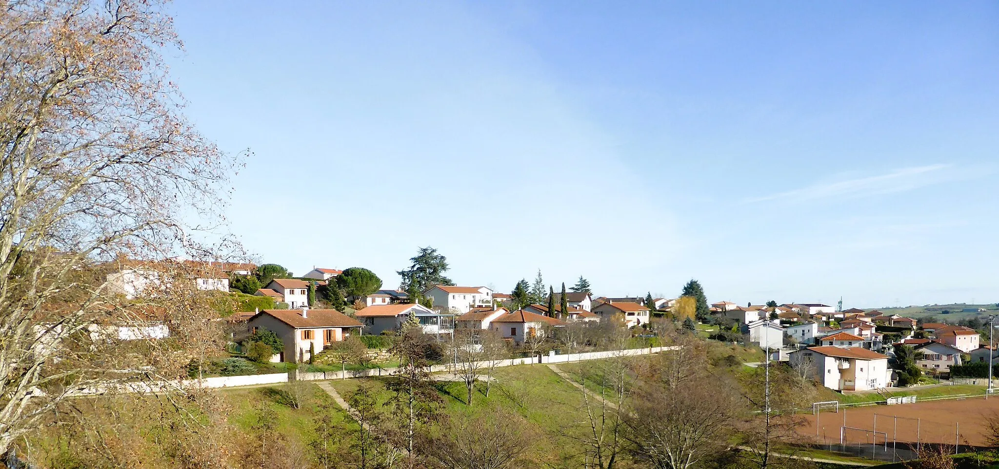
Grézieu-la-VarenneVillageGrézieu-la-Varenne presents off-road cyclists with picturesque trails and beautiful natural surroundings, making it an ideal spot to connect with nature during the ride.
83 km
83 km
Finish: Vaugneray Village centerVaugneray: Conquer the Legendary Climb of Monts du Lyonnais in Rhône-Alpes
Cycling routes from Vaugneray:
Gravel Discovery Roads Less Traveled Vaugneray Loop Road Cycling Route The Gravel Adventure Vaugneray Gravel Adventure Route The Ultimate Road Cycling Challenge Scenic Road Cycling Adventure in Northern Rhône Gravel Riding in Valleys and Hills of Southern Rhône Exploring the Countryside on Gravel Roads Cycling Adventure in Western Rhône Vaugneray to Col de la Luère Loop
Cycling routes nearby: