Roads Less Traveled
A road cycling route starting from Vaugneray
Navigate the tarmac roads near Vaugneray and explore captivating sights along the way.
Map
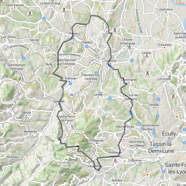
Get ready to explore the quiet roads surrounding Vaugneray. This road cycling route offers a total ascent of 1328m and covers a distance of 61km. Enjoy the challenging climb to the Col de la Luère, discover the picturesque village of Sain-Bel, cycle through the charming town of Chessy, pass through the scenic landscapes of Dommartin, Marcy-l'Étoile, and finally reach Vaugneray for a well-deserved rest.
road
61 km
1328 m
Tough
Route profile
Highlights on the route
0 km
0 km
Start: Vaugneray Village centerVaugneray: Conquer the Legendary Climb of Monts du Lyonnais in Rhône-Alpes
Vaugneray is a commune in the Rhône-Alpes region of France that offers an engaging environment for road and gravel cyclists. The locality is renowned for being the starting point of the challenging Monts du Lyonnais climb, which attracts both professional and amateur cyclists. Vaugneray also features a mix of rolling hills and scenic country roads, creating a cyclist-friendly atmosphere for riders seeking a variety of terrain. The commune itself is quaint and picturesque, with charming architecture and historic sites to explore. With its well-known climb and scenic routes, Vaugneray is a must-visit destination for cyclists seeking challenging and rewarding rides.5 km
5 km
Col de la Luère715 mMountain PassAscend the famous Col de la Luère and marvel at the mesmerizing views from the top.
14 km
14 km
Sain-BelVillageVisit the charming town of Sain-Bel and its architectural gems.
26 km
26 km
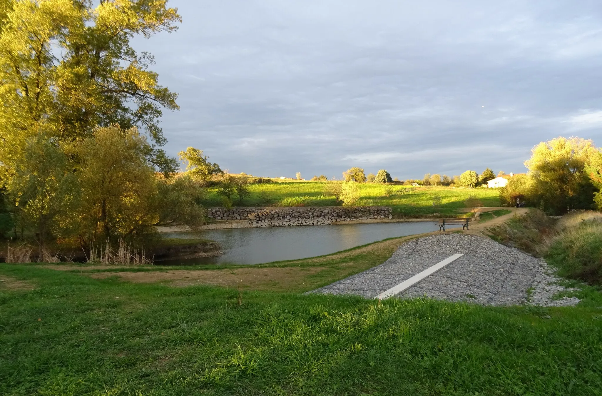
ChessyVillageExplore the picturesque village of Chessy and its idyllic surroundings.
44 km
44 km
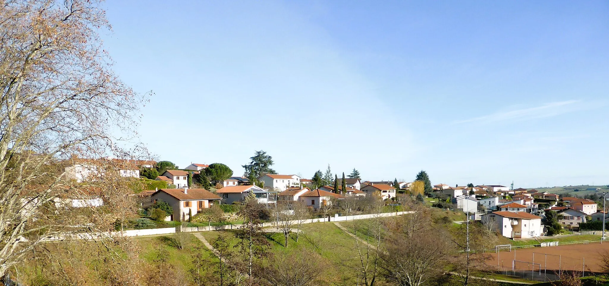
DommartinVillageCycle through the quaint and charming village of Dommartin, taking in the scenic vistas.
52 km
52 km
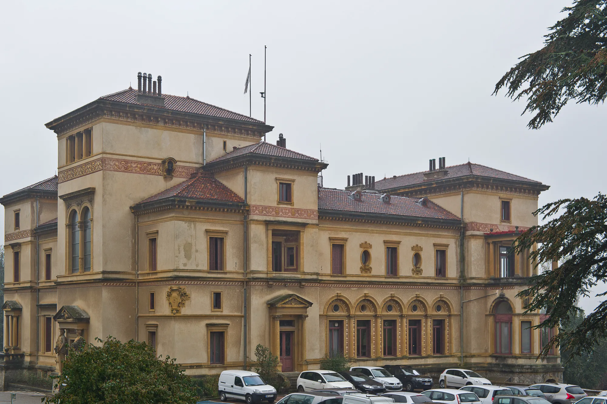
Marcy-l'ÉtoileVillageRide through the beautiful countryside of Marcy-l'Étoile and soak in the tranquility of the area.
61 km
61 km
VaugnerayVillageReach the final destination of Vaugneray, a peaceful town nestled amidst stunning natural beauty.
61 km
61 km
Finish: Vaugneray Village centerVaugneray: Conquer the Legendary Climb of Monts du Lyonnais in Rhône-Alpes
Cycling routes from Vaugneray:
Gravel Discovery Roads Less Traveled Vaugneray Loop Road Cycling Route The Gravel Adventure Vaugneray Gravel Adventure Route The Ultimate Road Cycling Challenge Scenic Road Cycling Adventure in Northern Rhône Gravel Riding in Valleys and Hills of Southern Rhône Exploring the Countryside on Gravel Roads Cycling Adventure in Western Rhône Vaugneray to Col de la Luère Loop
Cycling routes nearby: