Vaugneray Loop Road Cycling Route
A road cycling route starting from Vaugneray
Experience the challenging Vaugneray Loop, featuring stunning views and beautiful countryside
Map
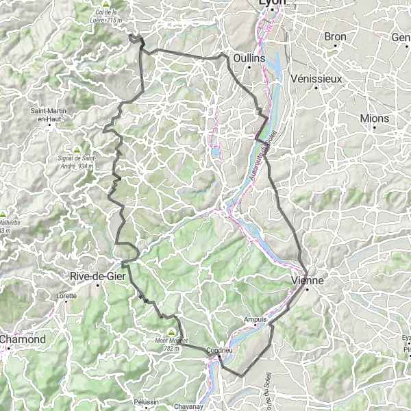
The Vaugneray Loop road cycling route is a challenging 110-km route, featuring a total ascent of 1,816 meters. This picturesque ride takes cyclists through various highlights, including Saint-Genis-Laval, Belvédère de Pipet, Vienne, and Mont Monnet. The difficulty level of this route is rated 4 out of 5, suitable for very well-trained amateur cyclists. With an epicness rating of 4 out of 5, this route offers a thrilling and memorable cycling experience. The route showcases the beautiful landscapes of Rhône-Alpes, making it a must-visit for cycling enthusiasts and nature lovers alike.
road
110 km
1816 m
Tough
Route profile
Highlights on the route
0 km
0 km
Start: Vaugneray Village centerVaugneray: Conquer the Legendary Climb of Monts du Lyonnais in Rhône-Alpes
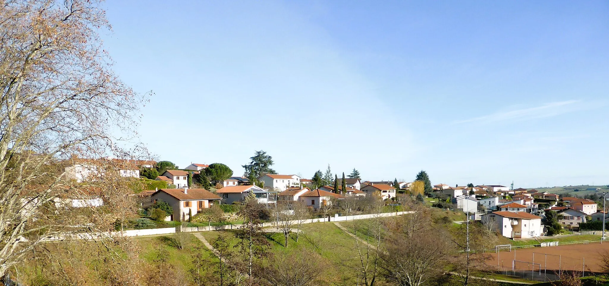
Vaugneray is a commune in the Rhône-Alpes region of France that offers an engaging environment for road and gravel cyclists. The locality is renowned for being the starting point of the challenging Monts du Lyonnais climb, which attracts both professional and amateur cyclists. Vaugneray also features a mix of rolling hills and scenic country roads, creating a cyclist-friendly atmosphere for riders seeking a variety of terrain. The commune itself is quaint and picturesque, with charming architecture and historic sites to explore. With its well-known climb and scenic routes, Vaugneray is a must-visit destination for cyclists seeking challenging and rewarding rides.15 km
15 km
Saint-Genis-LavalTownSaint-Genis-Laval offers quaint villages and historic sites, perfect for a brief stop and exploration.
39 km
39 km
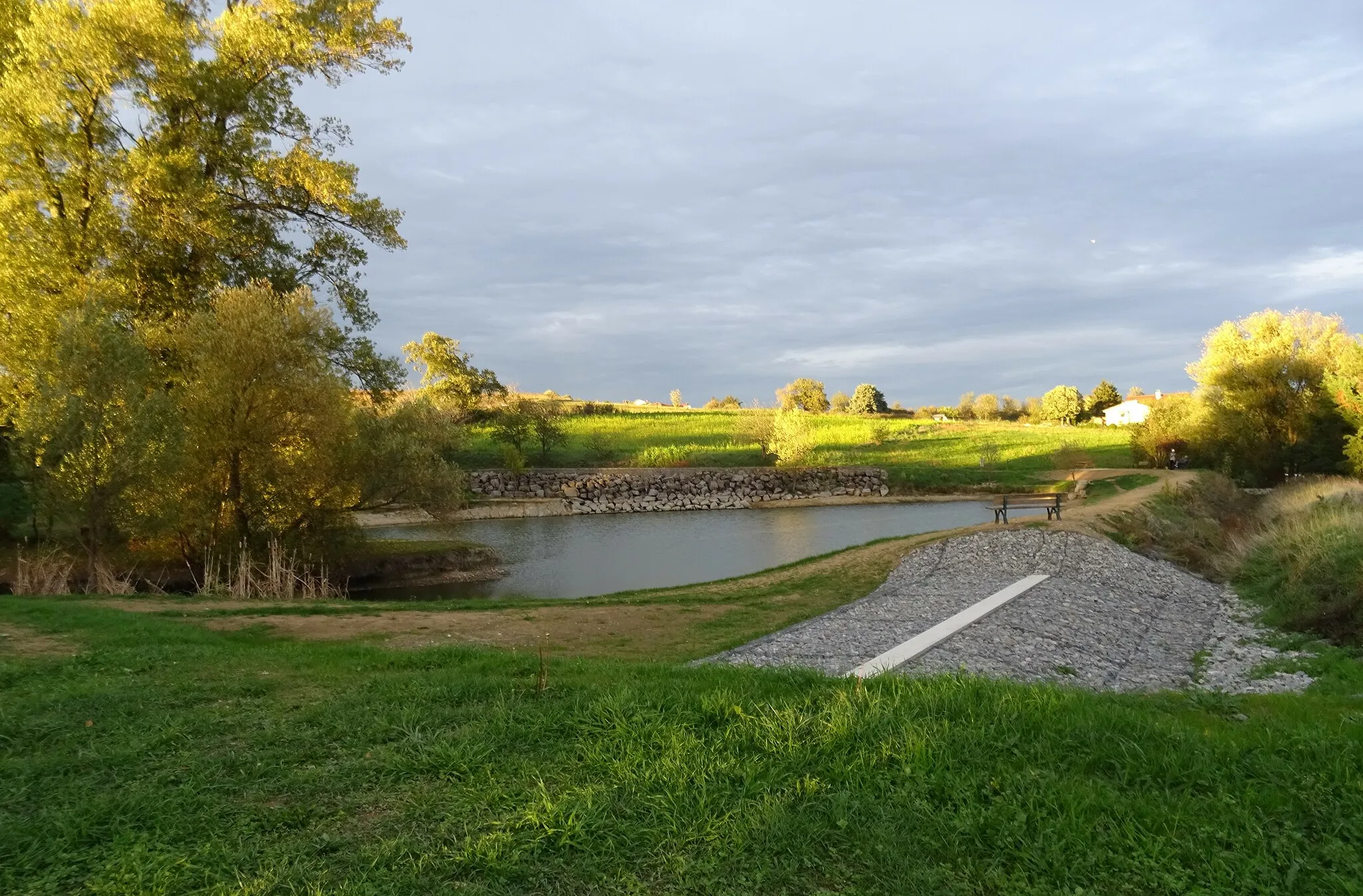
Belvédère de PipetViewpointBelvédère de Pipet provides breathtaking panoramic views of the surrounding countryside, showcasing the natural beauty of the region.
39 km
39 km
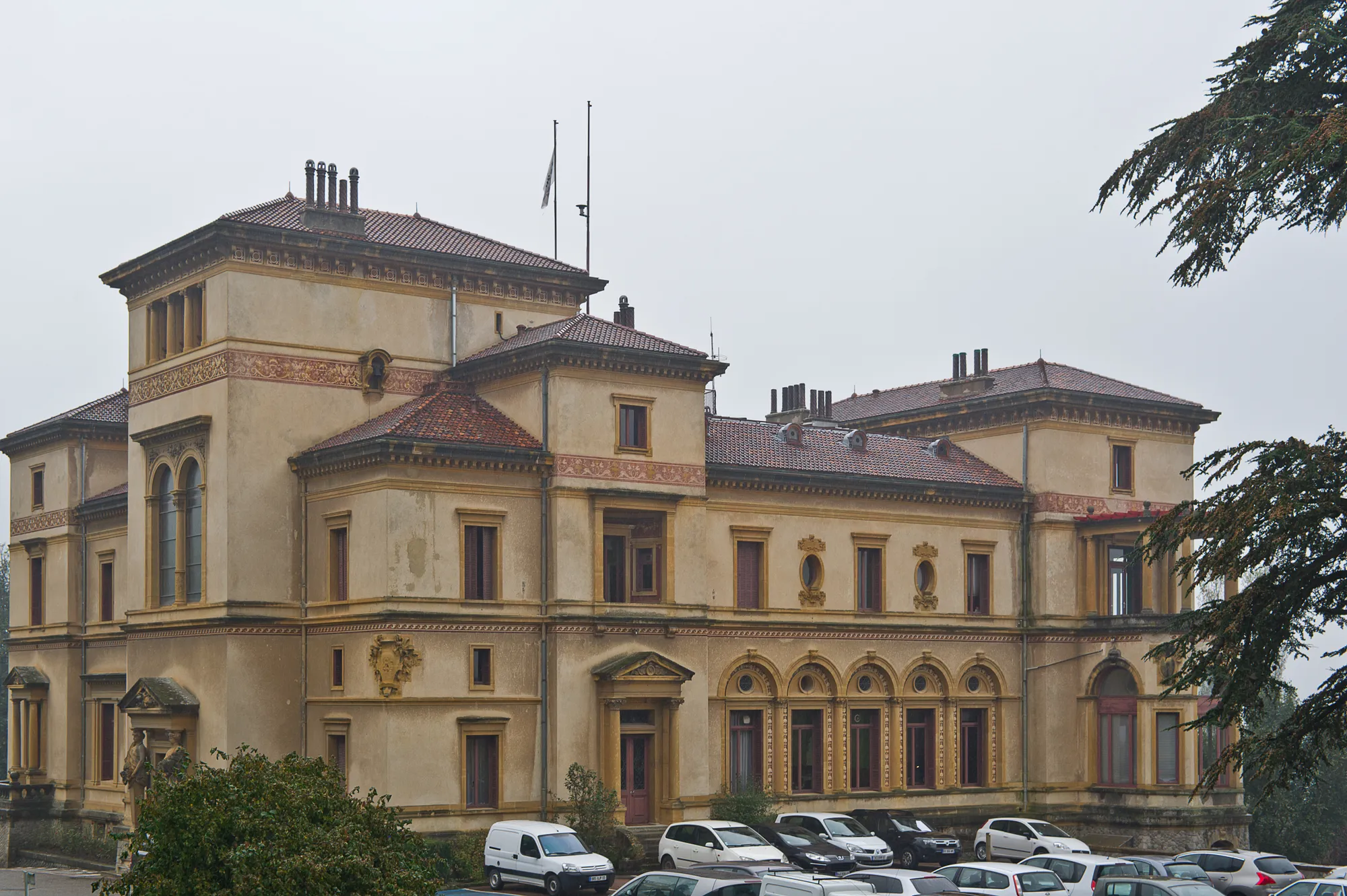
VienneTownVienne is a historic city known for its Roman ruins and Gothic architecture, offering a glimpse into the area's rich history.
52 km
52 km
Saint-PrimVillageSaint-Prim offers charming vineyards and wineries, providing the opportunity to sample some of the region's finest wines.
61 km
61 km
Mont Monnet782 mPeakMont Monnet offers stunning lookout points and panoramic views of the scenic countryside, making it a popular destination for photographers.
75 km
75 km
ChâteauneufVillageChâteauneuf boasts beautiful medieval architecture and charming town squares, perfect for exploring and taking a leisurely break.
86 km
86 km
Crêt de Piralougnon557 mPeakCrêt de Piralougnon provides a challenging uphill climb, ending with sweeping views of the Rhône-Alpes region.
94 km
94 km
Crêt du Bouchat586 mPeakCrêt du Bouchat offers a peaceful and serene setting, surrounded by beautiful forests and wildlife.
104 km
104 km
MessimyVillageMessimy is a quaint village with traditional French charm, offering a relaxing and picturesque pitstop for cyclists.
110 km
110 km
Finish: Vaugneray Village centerVaugneray: Conquer the Legendary Climb of Monts du Lyonnais in Rhône-Alpes
Cycling routes from Vaugneray:
Gravel Discovery Roads Less Traveled Vaugneray Loop Road Cycling Route The Gravel Adventure Vaugneray Gravel Adventure Route The Ultimate Road Cycling Challenge Scenic Road Cycling Adventure in Northern Rhône Gravel Riding in Valleys and Hills of Southern Rhône Exploring the Countryside on Gravel Roads Cycling Adventure in Western Rhône Vaugneray to Col de la Luère Loop
Cycling routes nearby: